Kristinartindar - Hiking in the Skaftafell
Discover the Skaftafell park on the ascent of the Kristinartindar (1126m) which will allow you to embrace one of the most beautiful views of Iceland.
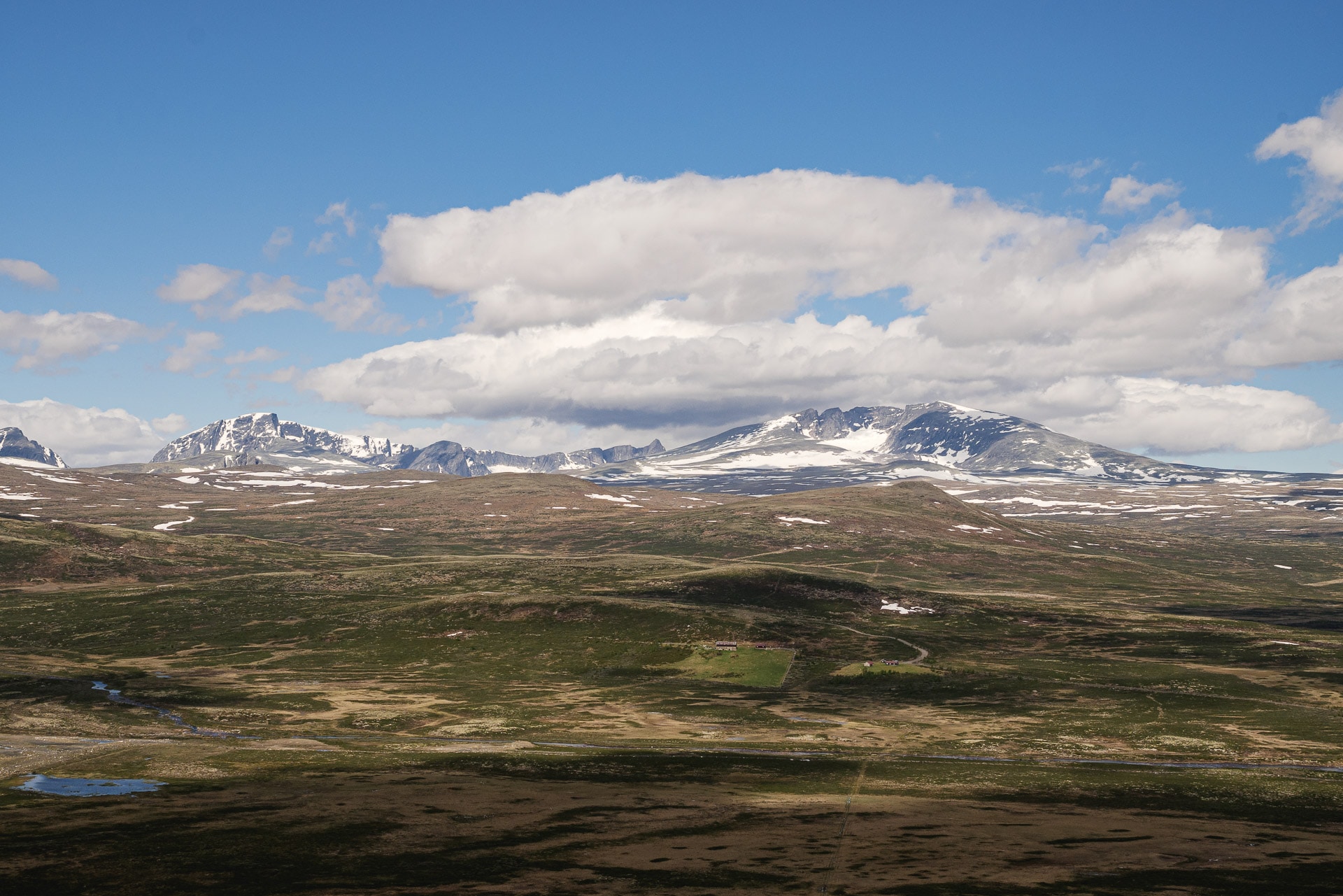
Skaftafell National Park
Originally founded in 1967, the Skaftafell National Park, with an area of 4800km², is today attached to the Vatnajökull National Park so it borders the south-west end.
Easily accessible from Route 1 (4 hours from Reykjavik), the park offers great opportunities for outdoor activities:
- Multiple possibility of day hikes. The best known leads to the Svartifoss waterfall, but you have to love the crowd … Below we suggest a more engaging but absolutely superb hike!
- Glacier excursions: quite a few guide companies offer excursions lasting a few hours on the surrounding glaciers. It is physically accessible to the greatest number and it will allow you to discover beautiful glacial formations while learning lots of interesting things about glaciers. It is also an opportunity to, unfortunately, see the concrete impact of global warming.
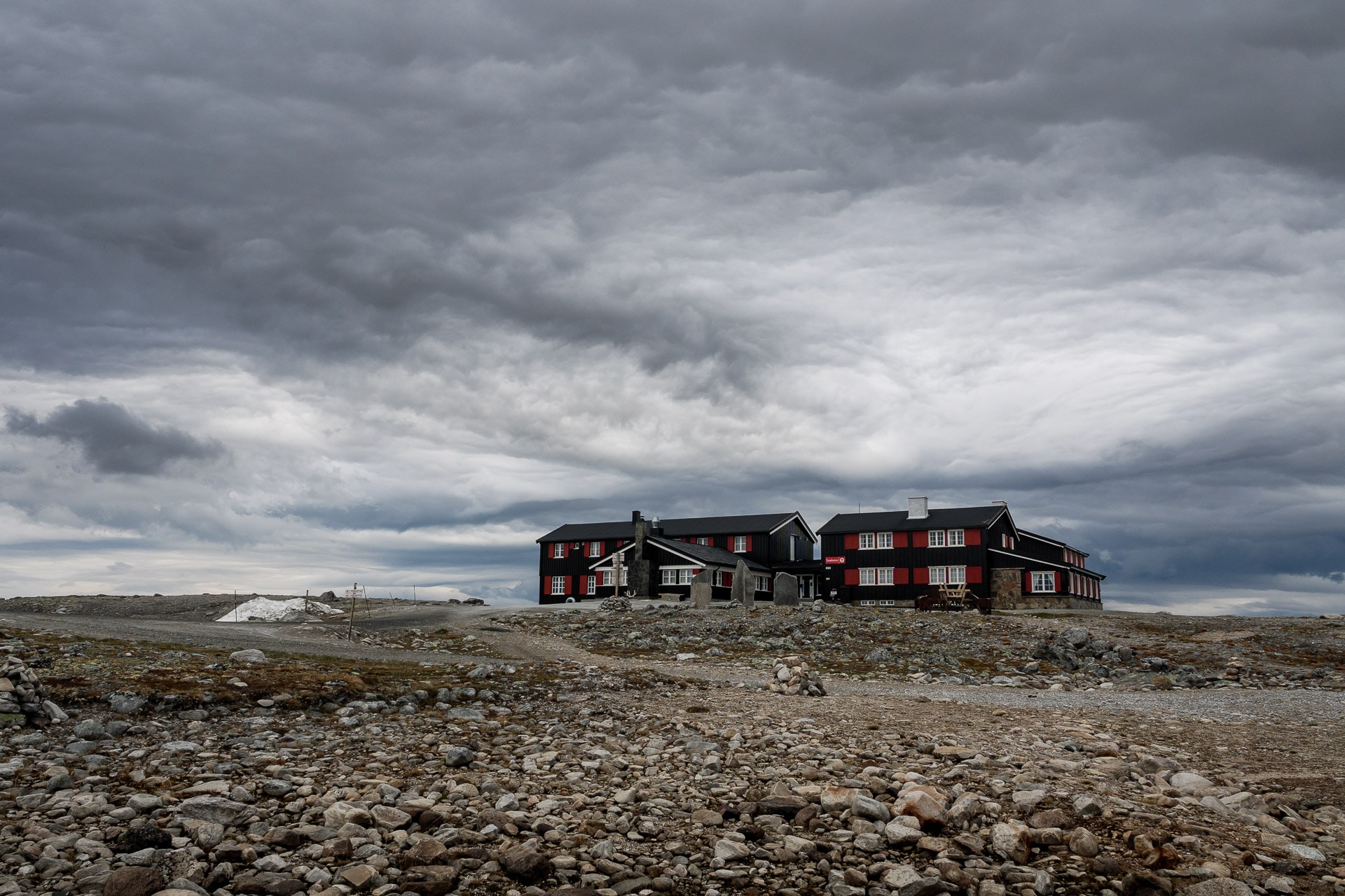
The center of the park is located at the “Visitor Center” (64.016343, -16.966968). You will find useful information on hiking there as well as maps of the area. There is also a pleasant campsite, although sometimes a little overcrowded, at the foot of the trail head. Another solution for the night is the small and beautiful campsite in Svínafell a little further east on Route 1.
Ascent of Kristinartindar
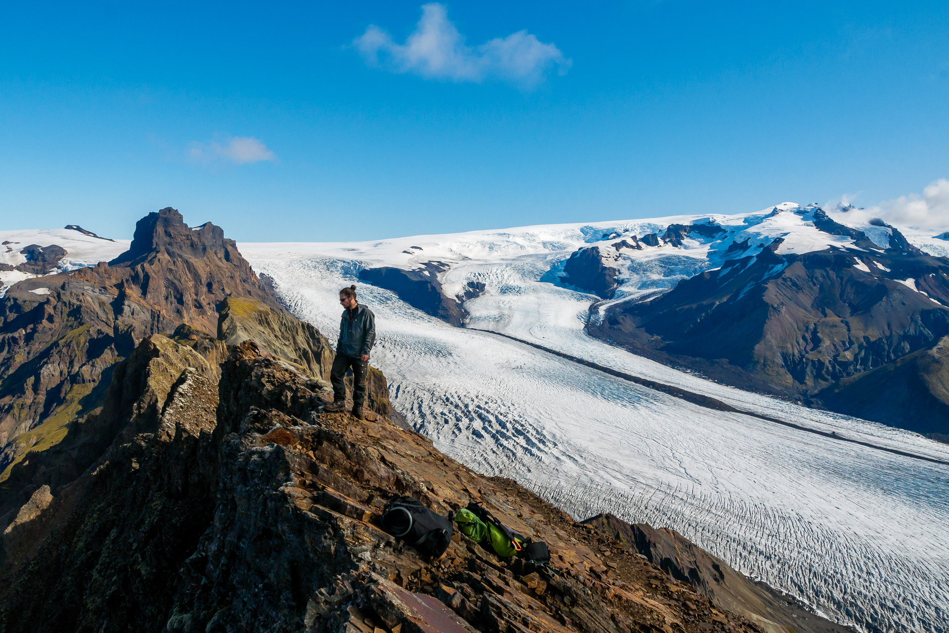
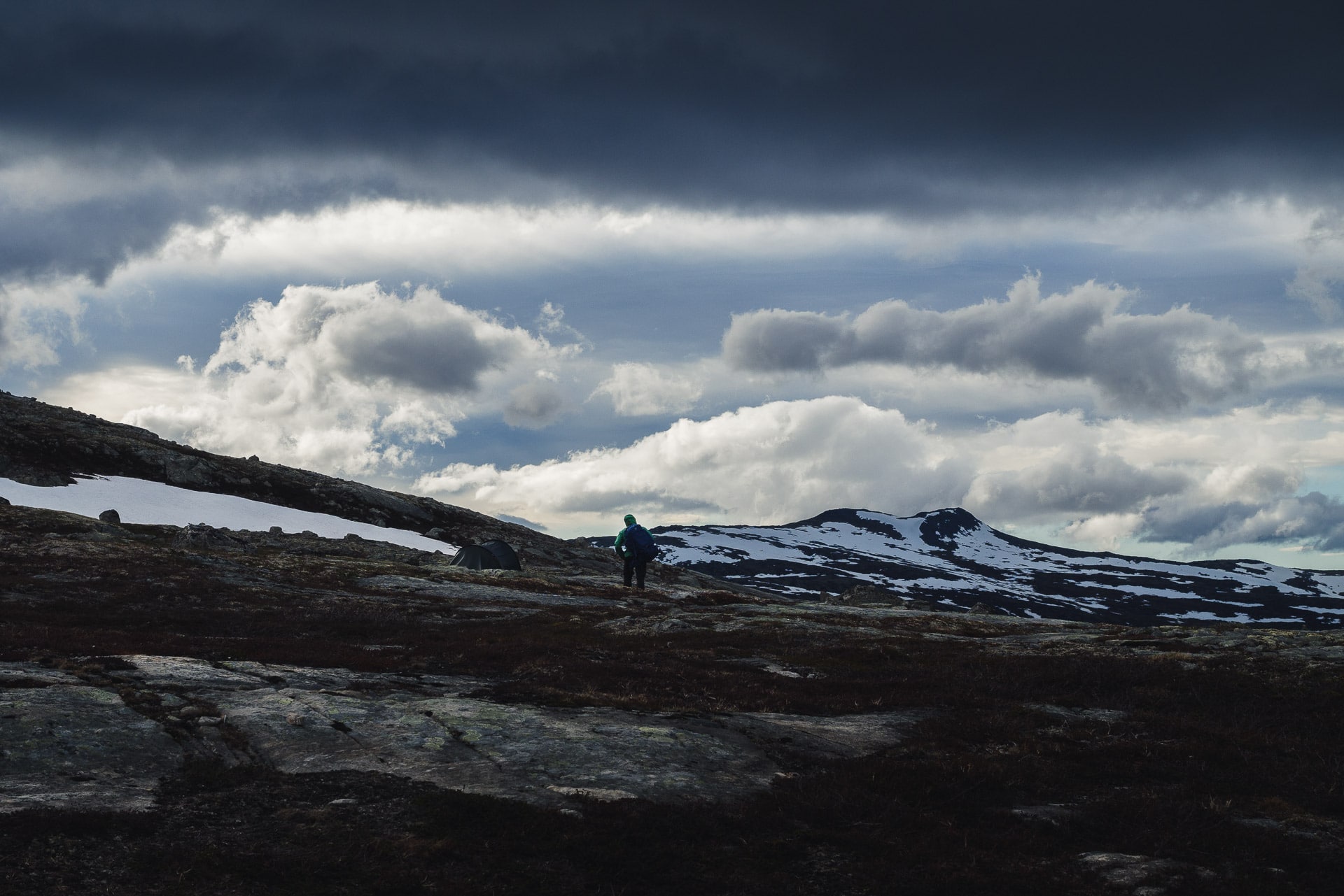
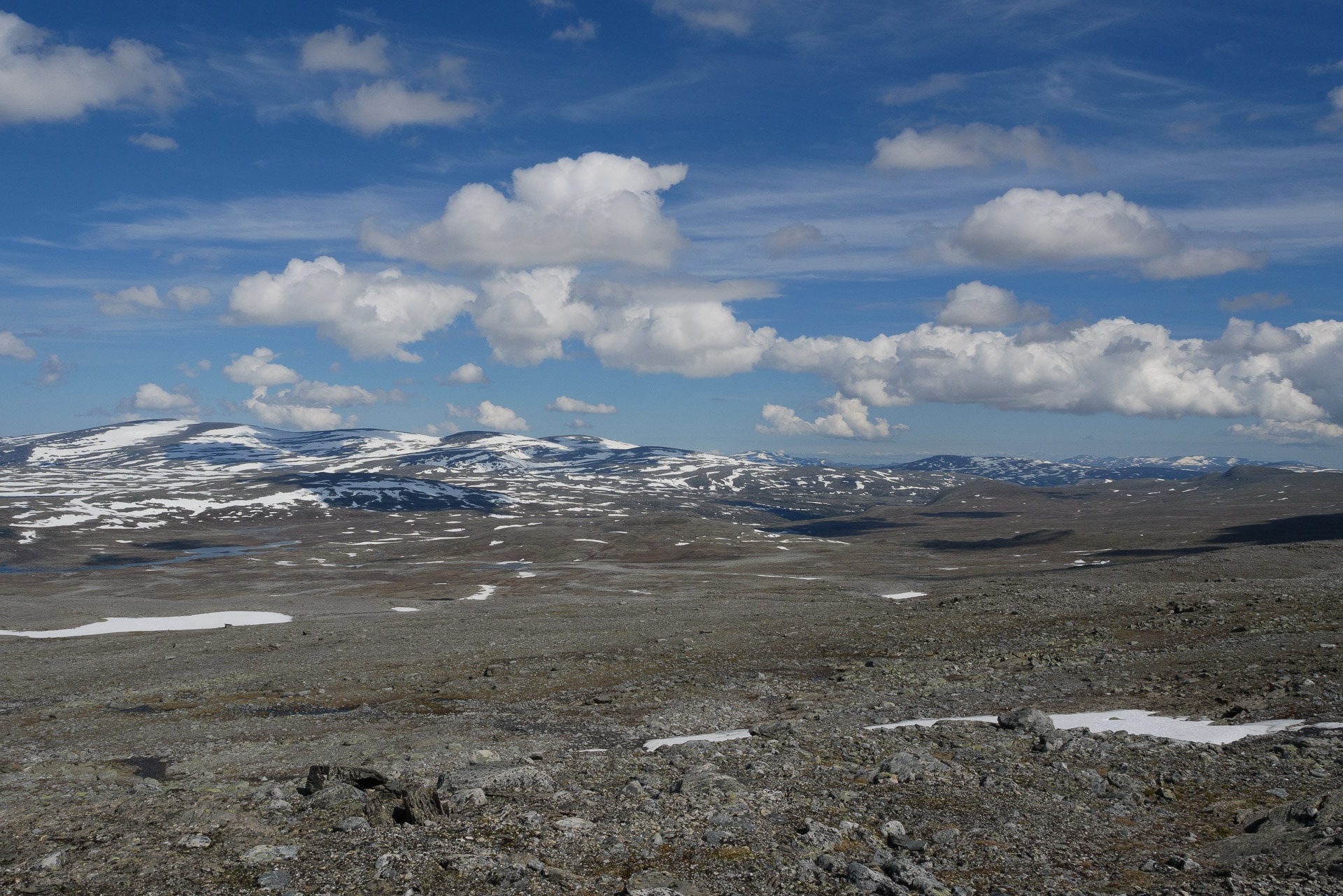
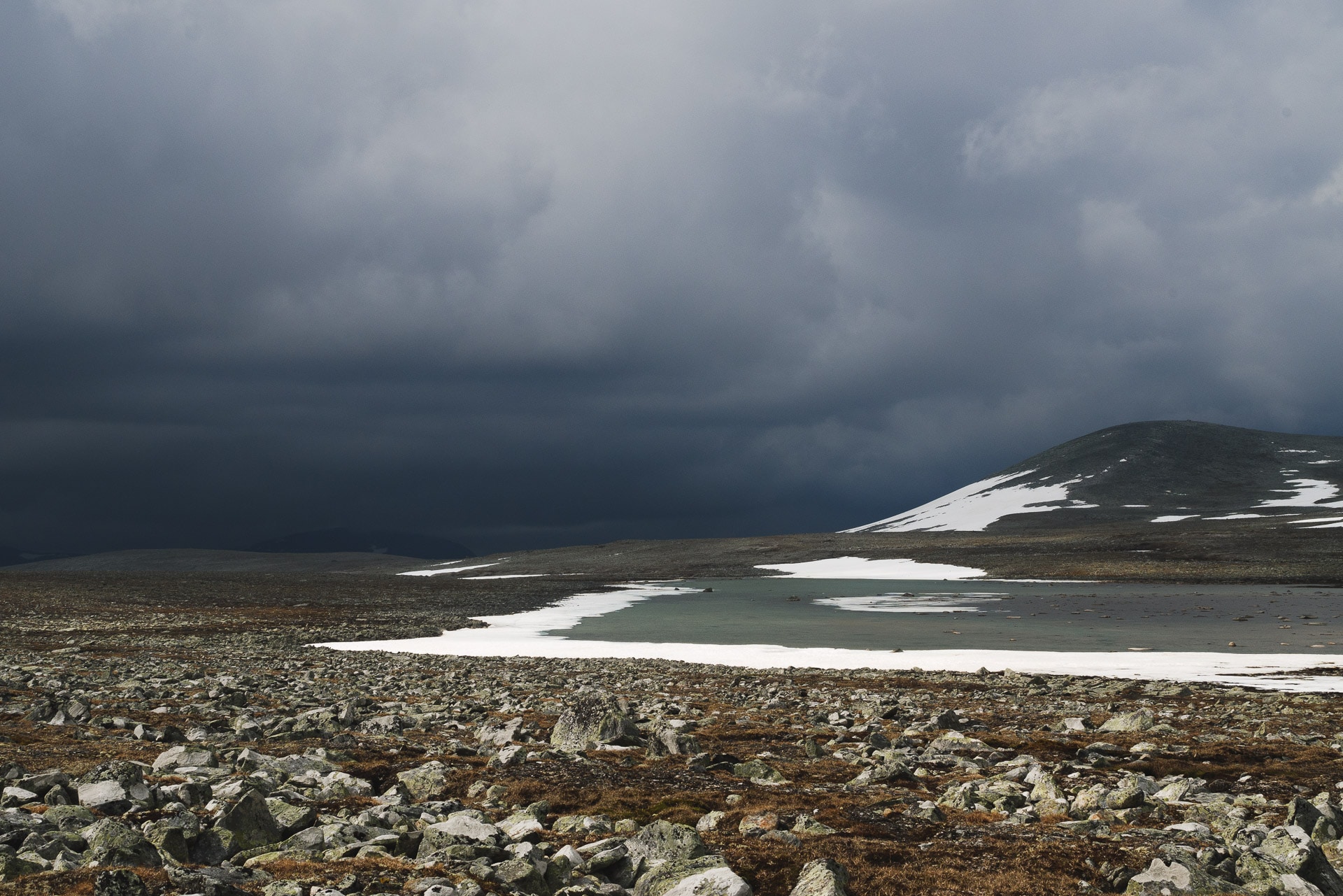
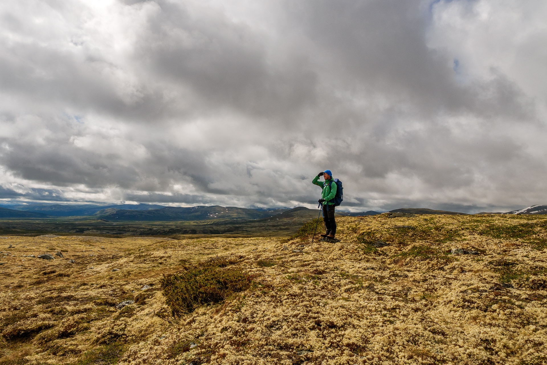
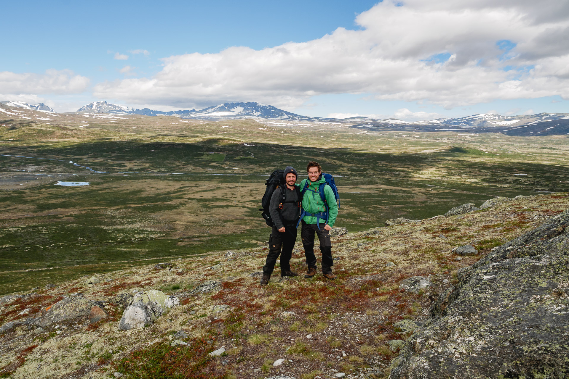
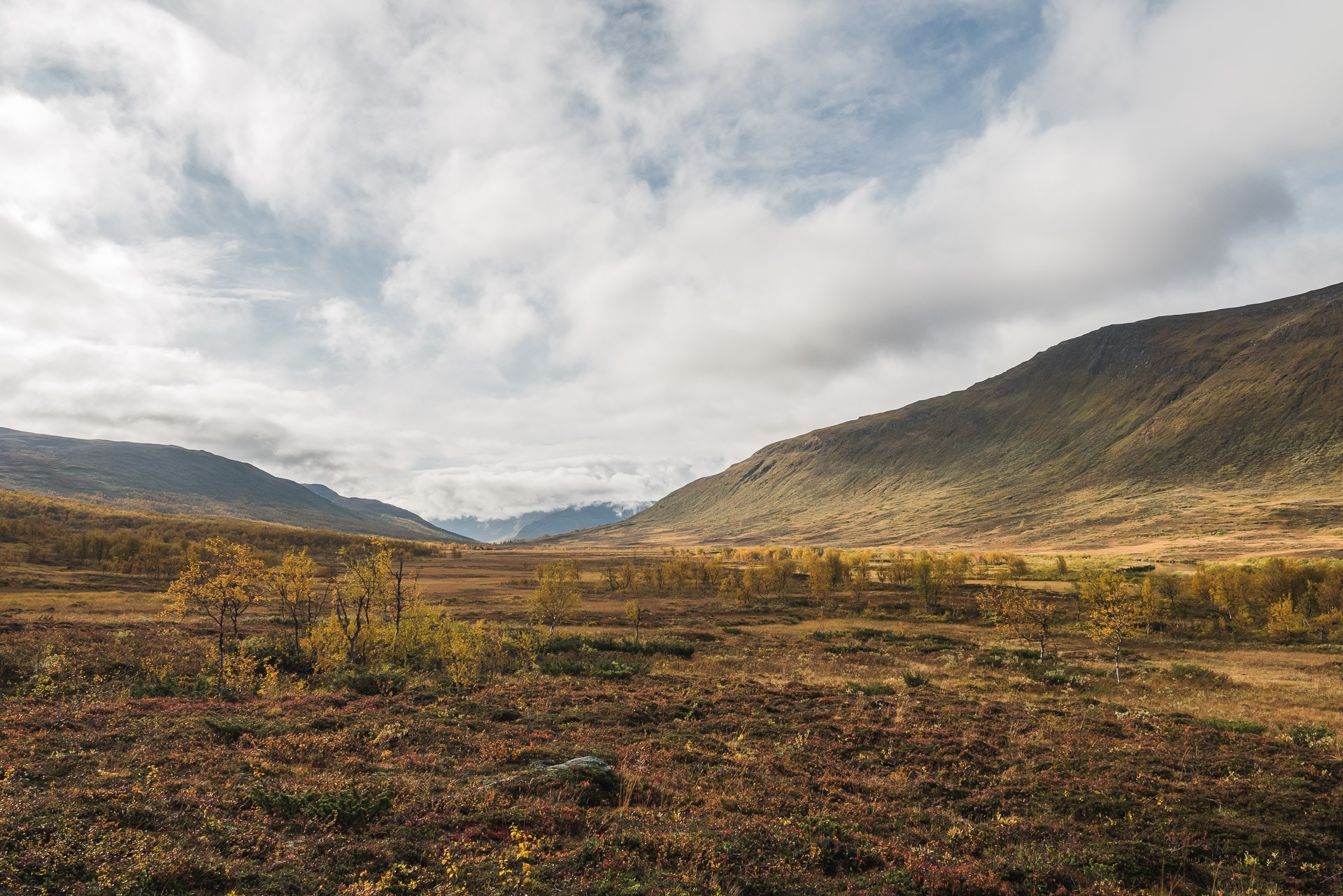
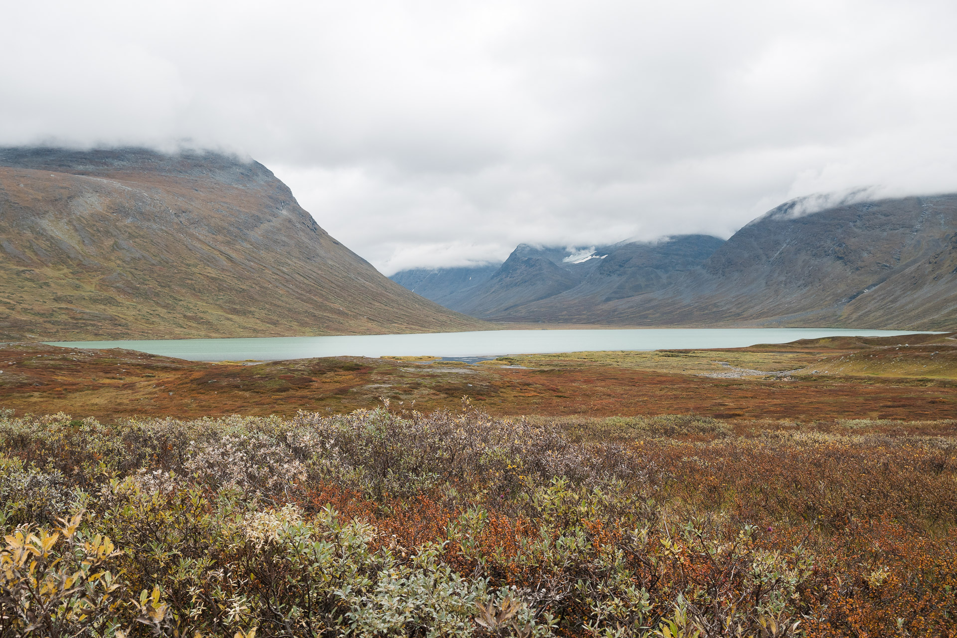
If you are looking for which hike to do during your stay at Skaftafell, climbing Kristinartindar will undoubtedly offer you one of the most beautiful options. Far from the hustle and bustle of Svartifoss (through which we pass all the same), the path will enchant you all along and will offer you an exceptional panorama from the top.
For a distance of 17km and 1100 D +, the hike is physical, in particular the final part which takes place in sometimes bad terrain (slippery and stony), so be careful! It is a hike to avoid with too young children. There are also some slightly “gaseous” passages to advise against people prone to vertigo. Apart from that, the trail remains accessible.
A variant avoiding the summit and the difficult portion but still offering magnificent views, is possible – see below.
BE WELL EQUIPPED FOR THIS HIKING. Wear real hiking shoes and not just sneakers and be alert to the weather. Even if the weather is nice, take something to cover yourself. Similarly, do not neglect the amount of water to take because the climb makes you lose a lot and you do not cross a stream.
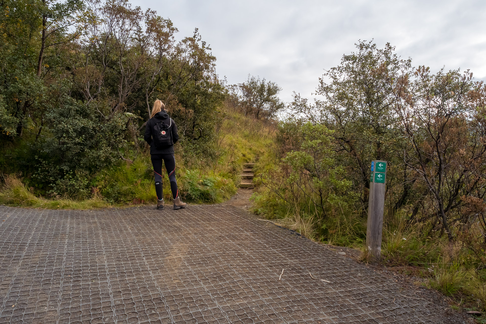
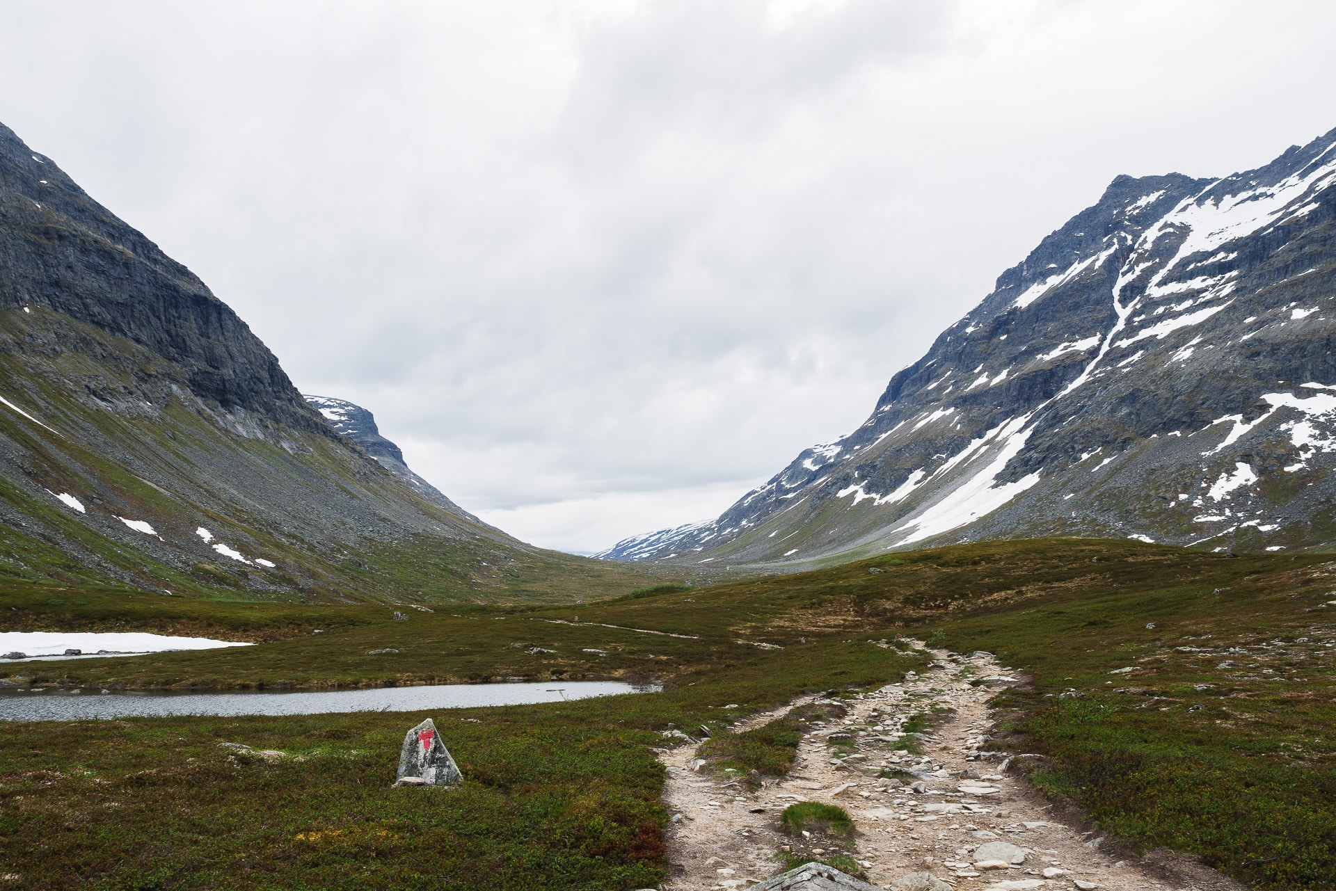
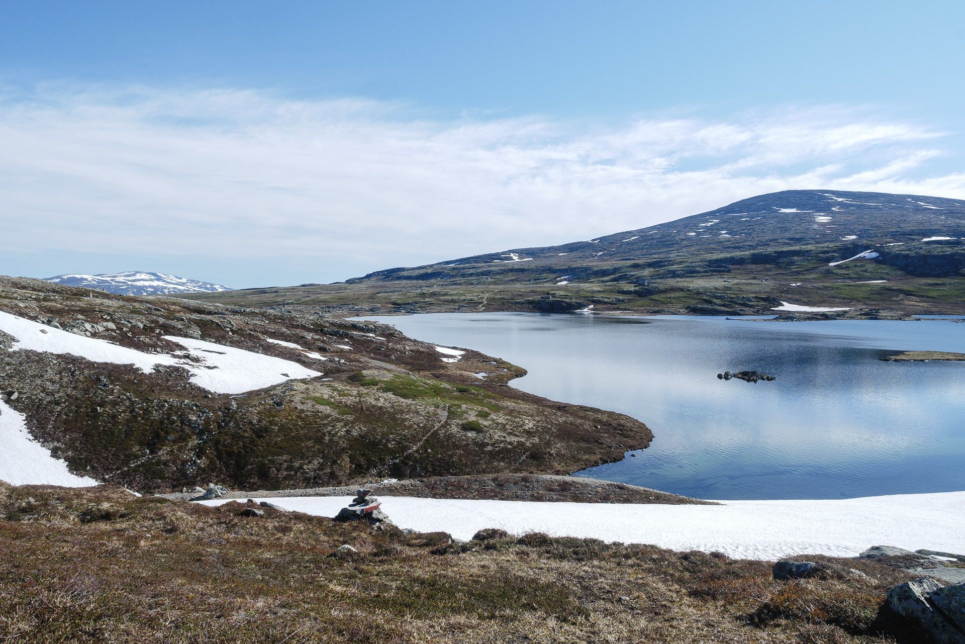
The trail starts at the campsite (same place as the one leading to Svartifoss). Follow the uphill path to the first intersection. From there turn on the right. Please note there is no clear indication of the fact that it leads to Kristinartindar and the trails may seem astonishing but that is fine.
The path then follows the ridge in a forest of small dense trees. We can see the glacier below between the branches. When we take the path it is 9:30 am and there is hardly anyone.
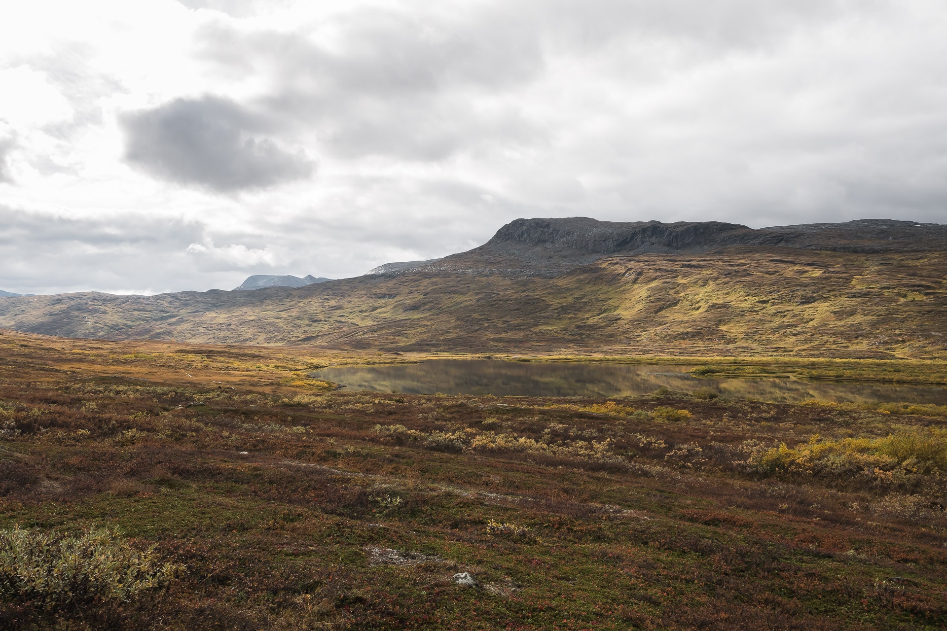
As the climb progresses, the view becomes clearer as the vegetation becomes more and more level with the altitude. We finally discover the view, especially on the Sandur side.
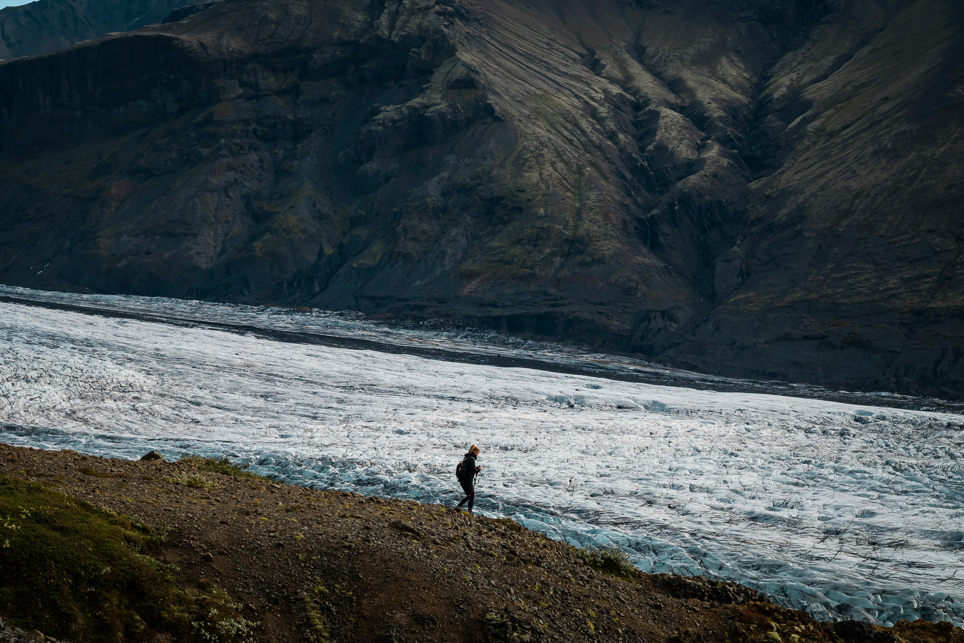
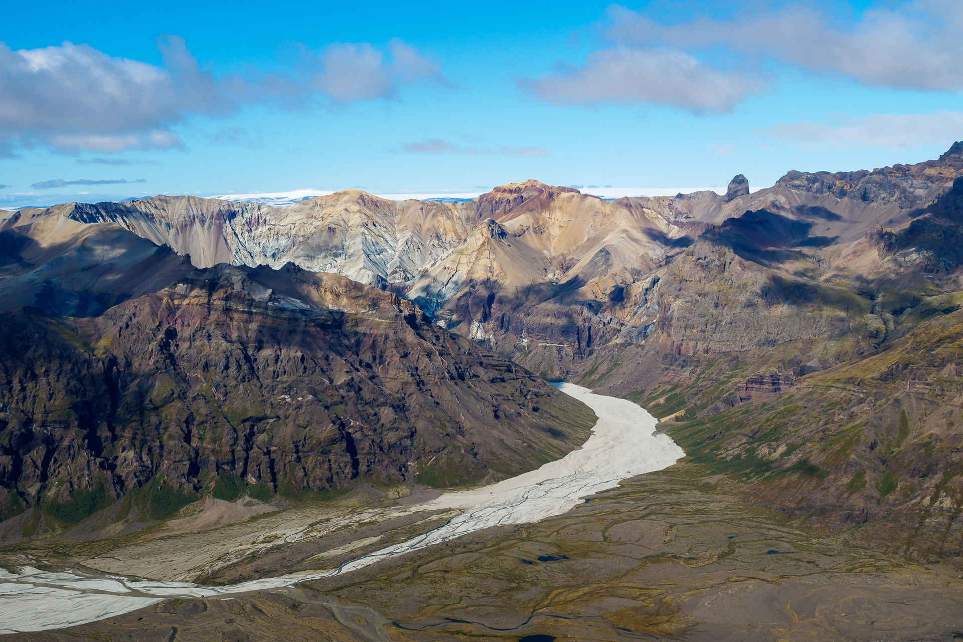
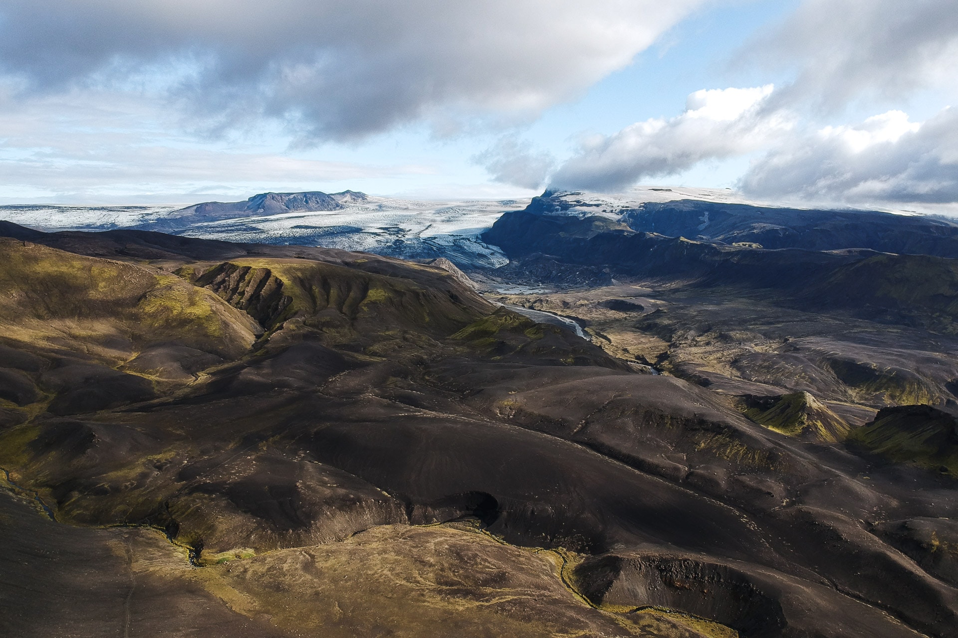
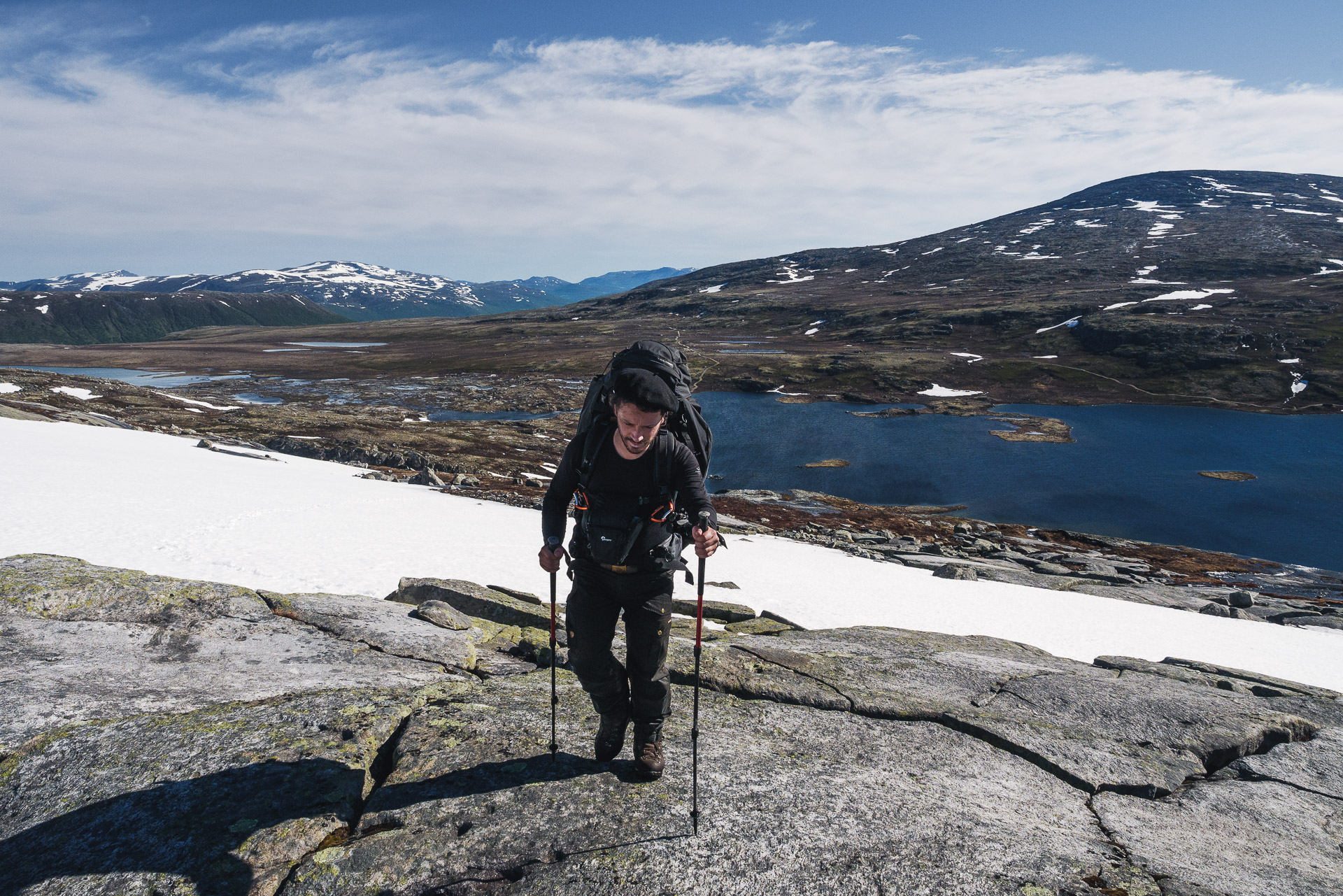
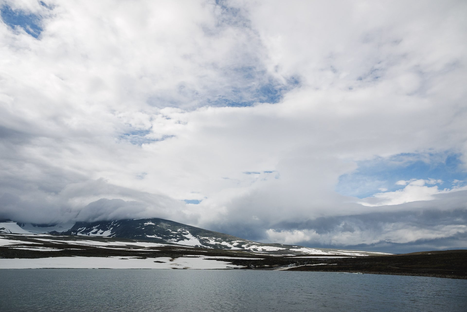
The rest of the climb is along the increasingly beautiful glacier. By overlooking it thus, we realize its gigantic size when it is only a language of Vatnajökull.
The trail climbs well but the slope is not excessive which makes it very hot without being particularly short of breath. We are very lucky today because the weather is fine. So we will have a view from up there!
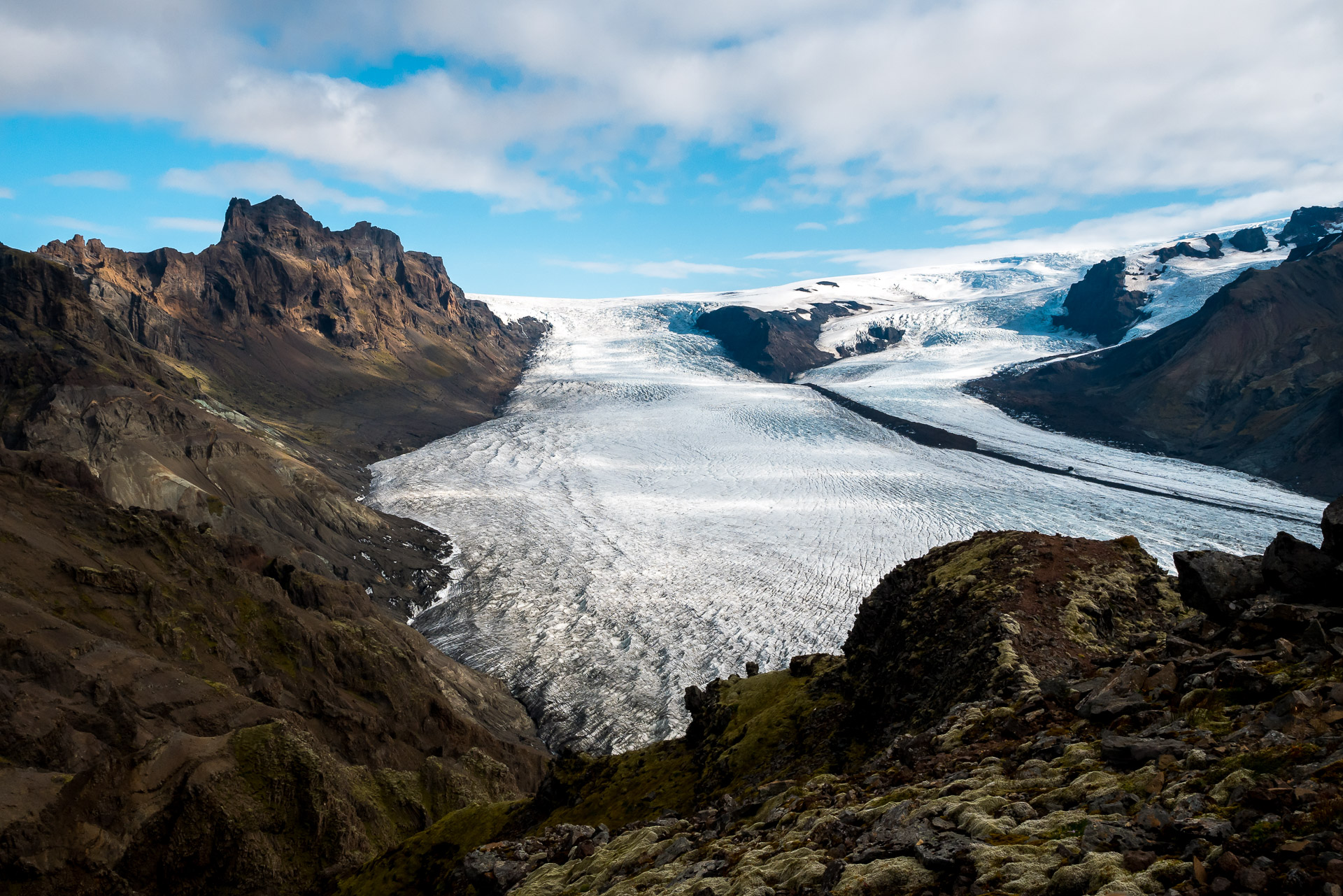
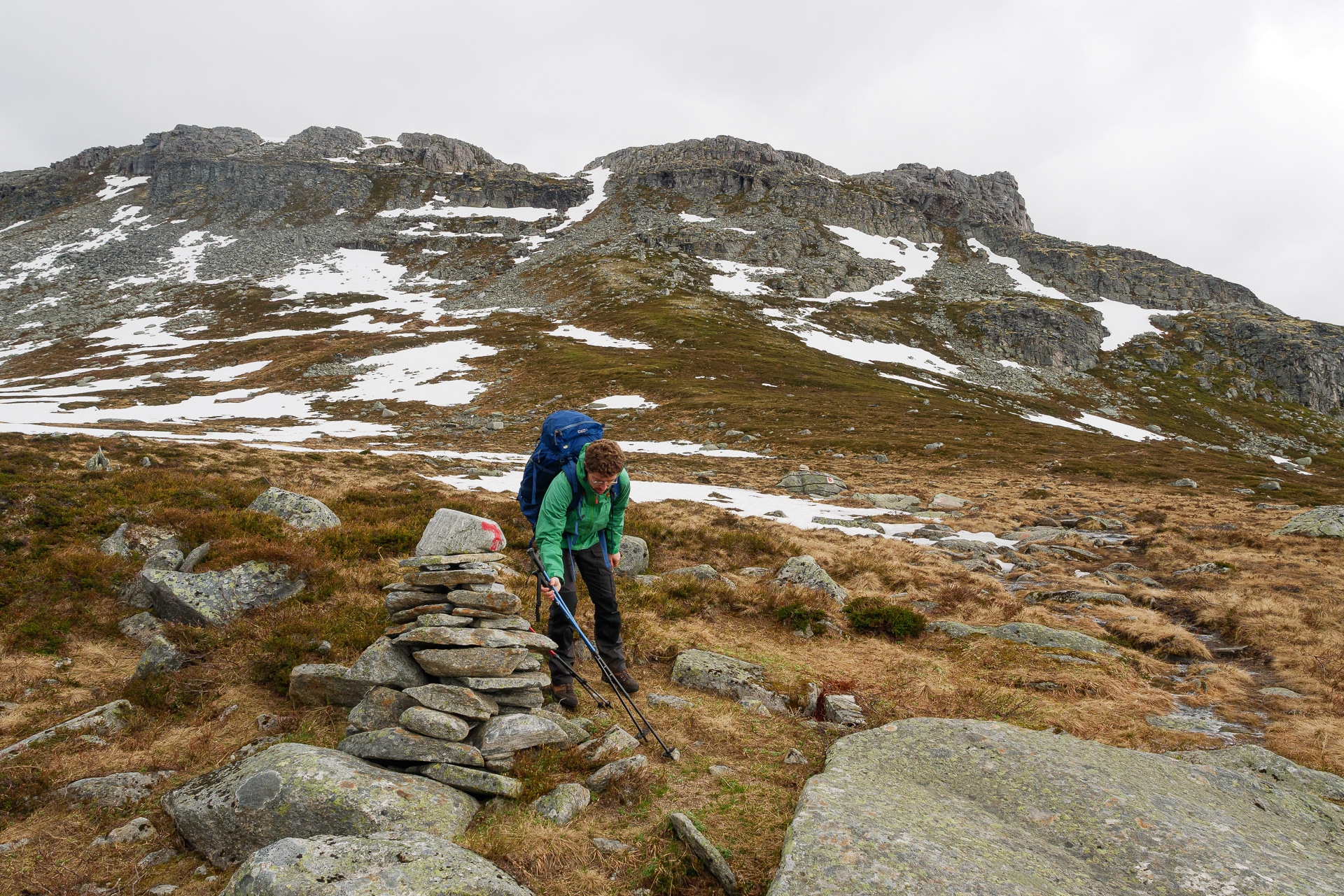
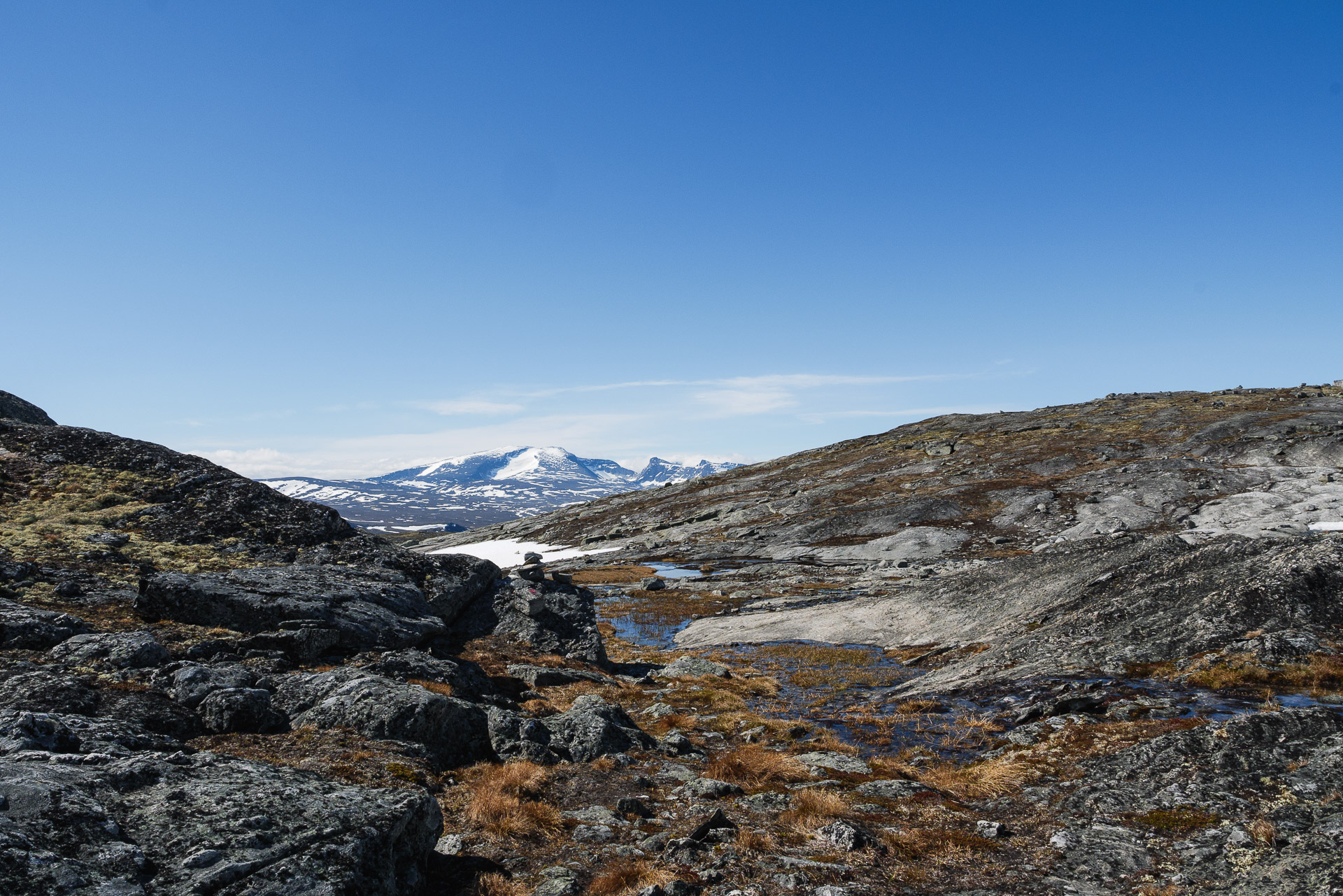
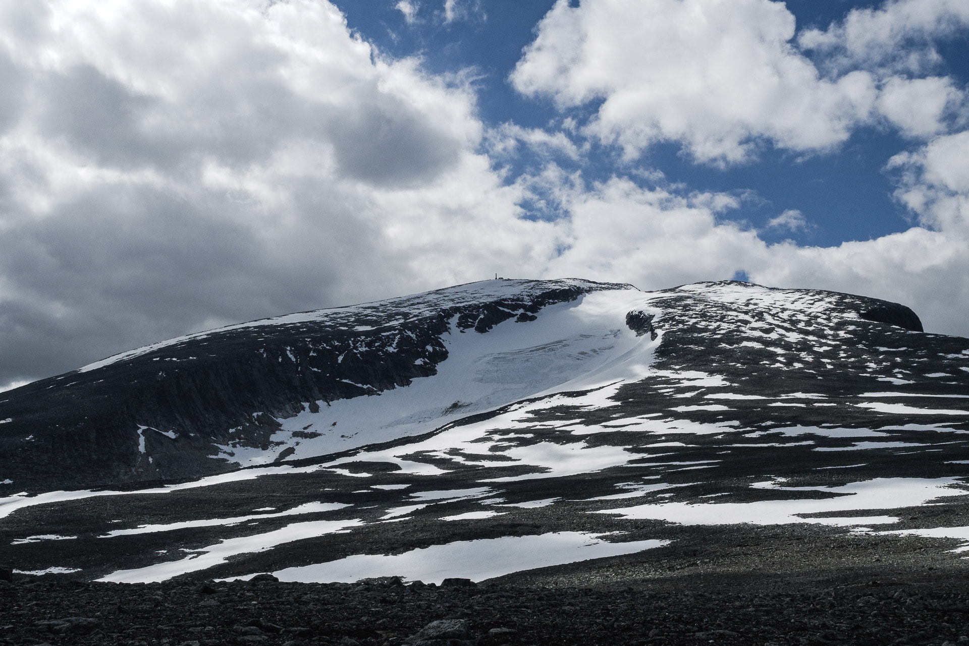
After this long straight stretch along the glacier, the marked path suddenly turns to the left to go around (by the left) the large massif in front of you. If you want to reach the summit, find a path that goes straight down the slope and then continues on the right, it is clearly visible normally and there are some marks. If you don’t want to make the summit, follow the marked path on the left.
The path becomes more difficult now. Don’t hesitate to take a break now to breathe and have a drink. You are going to chain some very rough climbs in a rock that is falling apart a little. Be careful.
You will arrive after a strong climb at a shoulder marked by a large cairn. A second path joins yours (downhill path). For the summit, set off in the rocky path which climbs steeply in a zigzag. You don’t have much elevation left! Courage!
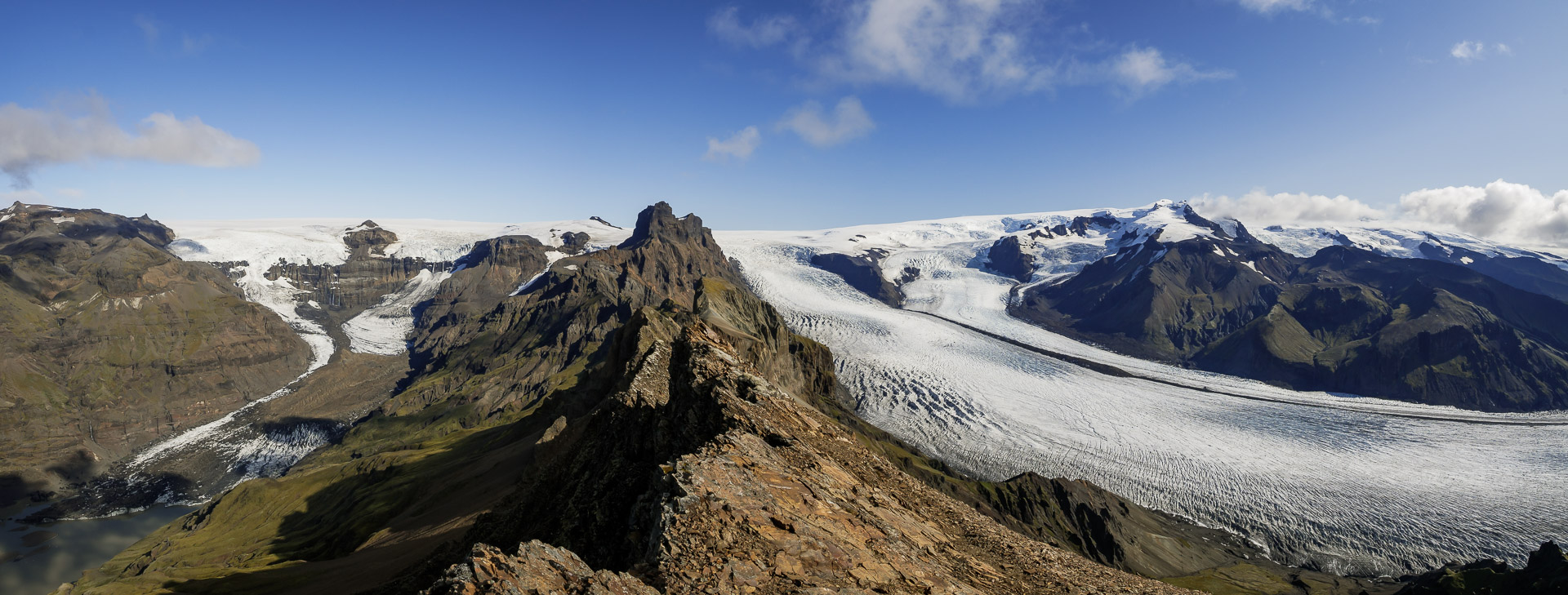
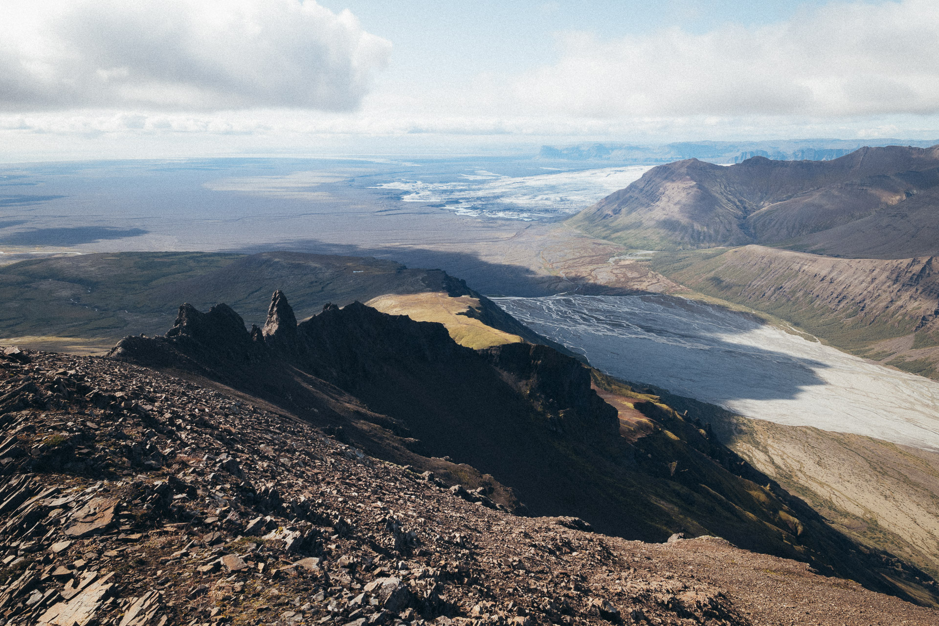
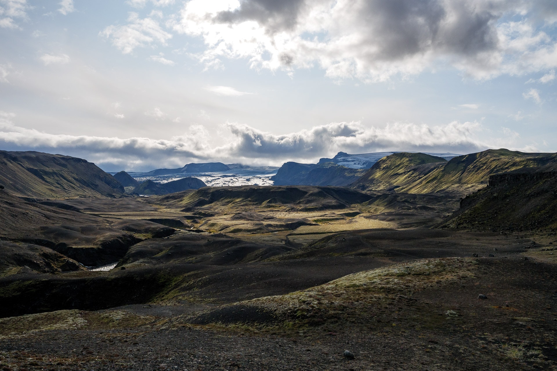
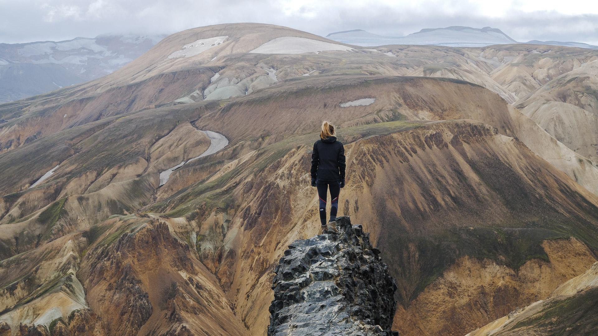
A few more meters and you are there! The summit is marvelous with a 360 ° view and in particular on the ridge which extends towards the North-East.
Be careful because here a fall would not forgive! We took advantage of this breathtaking landscape to take a picnic break especially since there was sun and little wind. We were few at the top first 6 and later just 4. It is unfortunately time to go down because you still have some way! To do this, take the same path as the climb to the big cairn below.
The descent can be impressive, take your time.
From there branch off to the second path which goes straight along the slope.
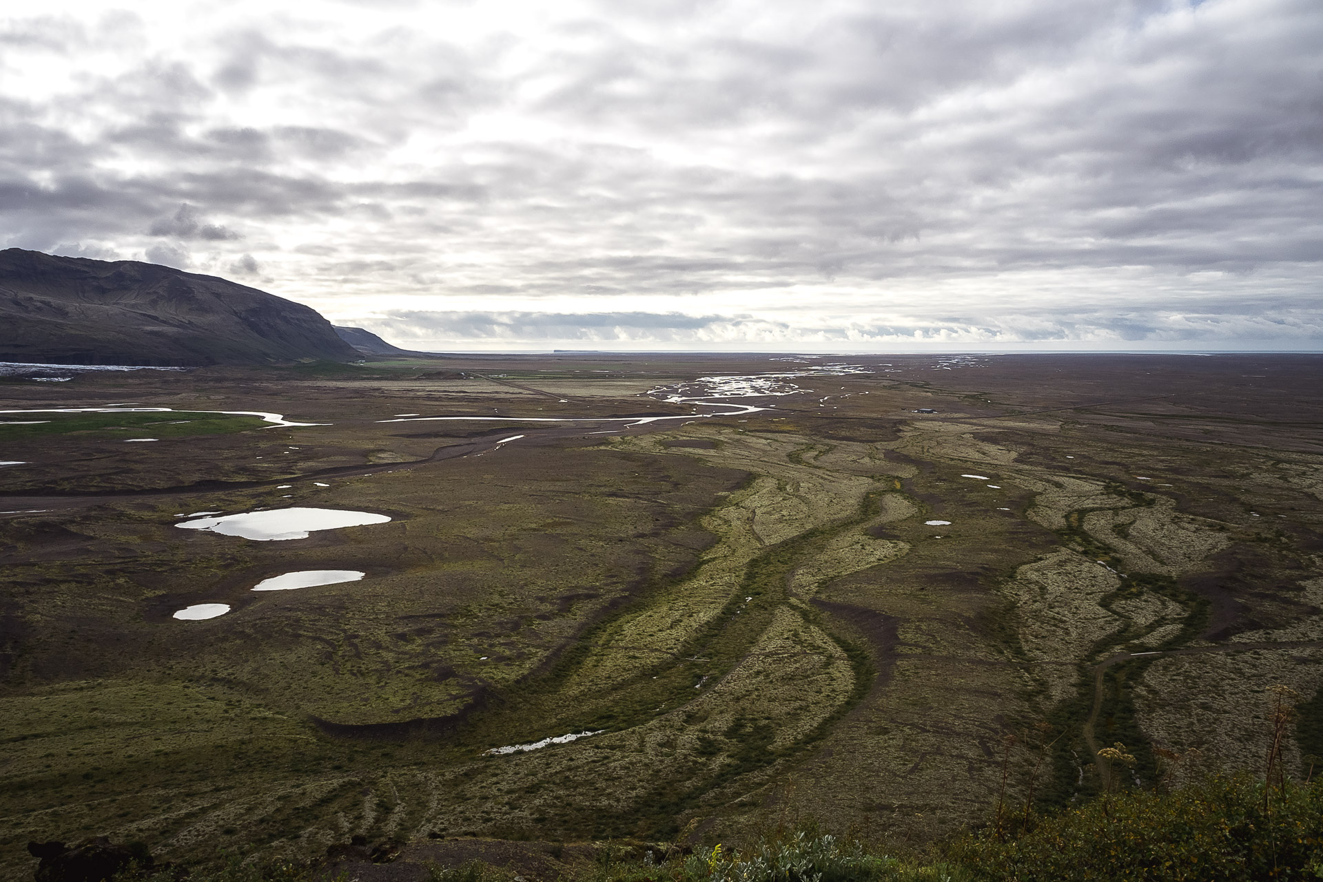
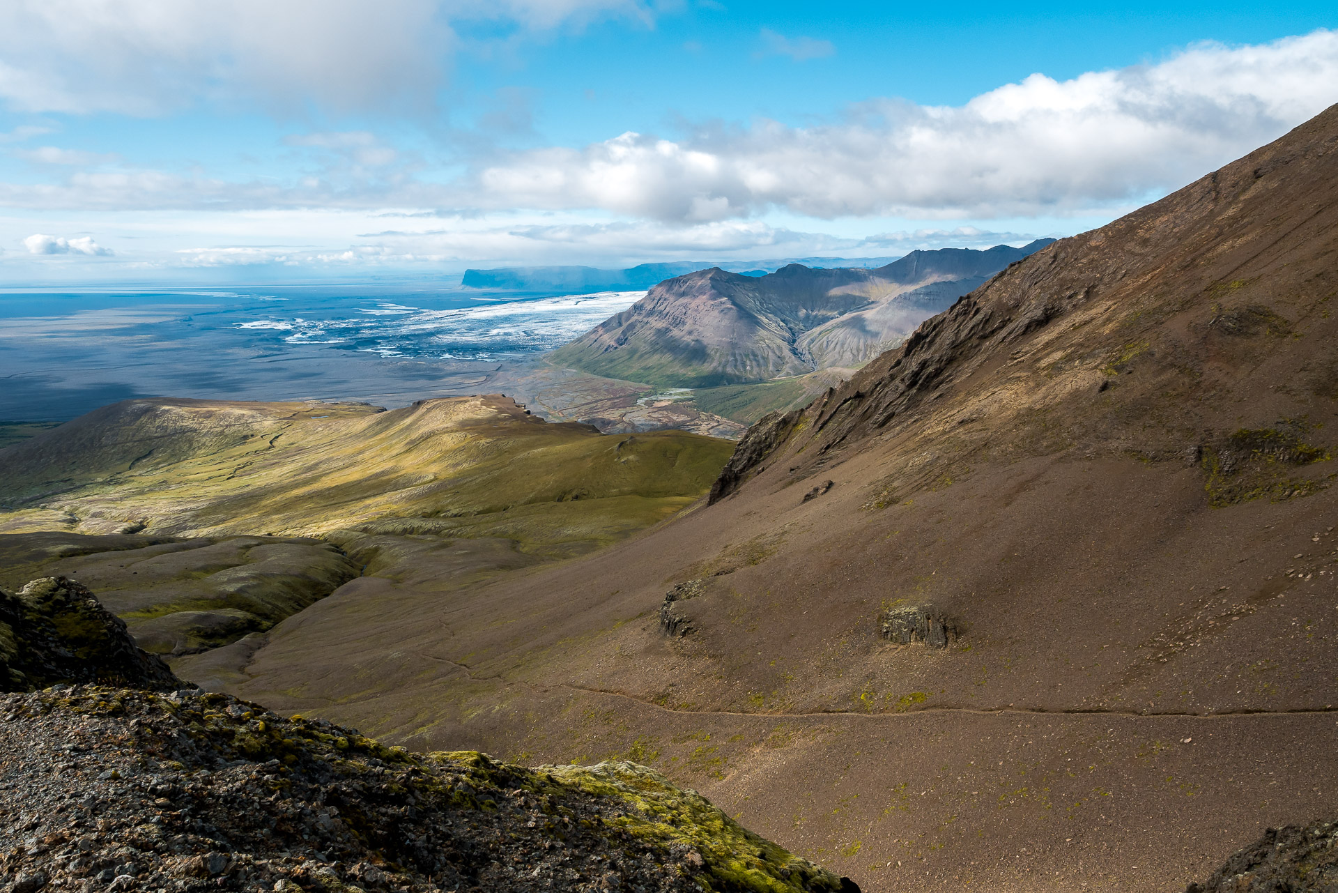
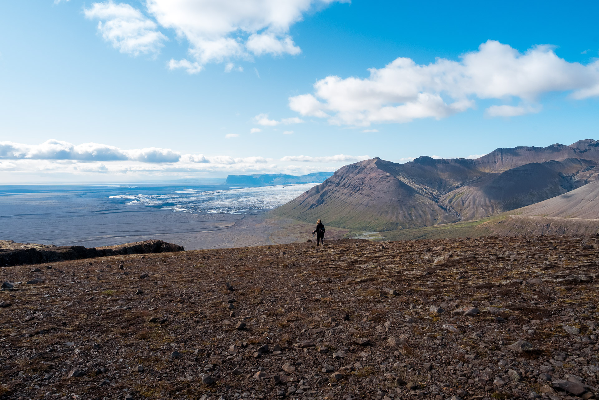
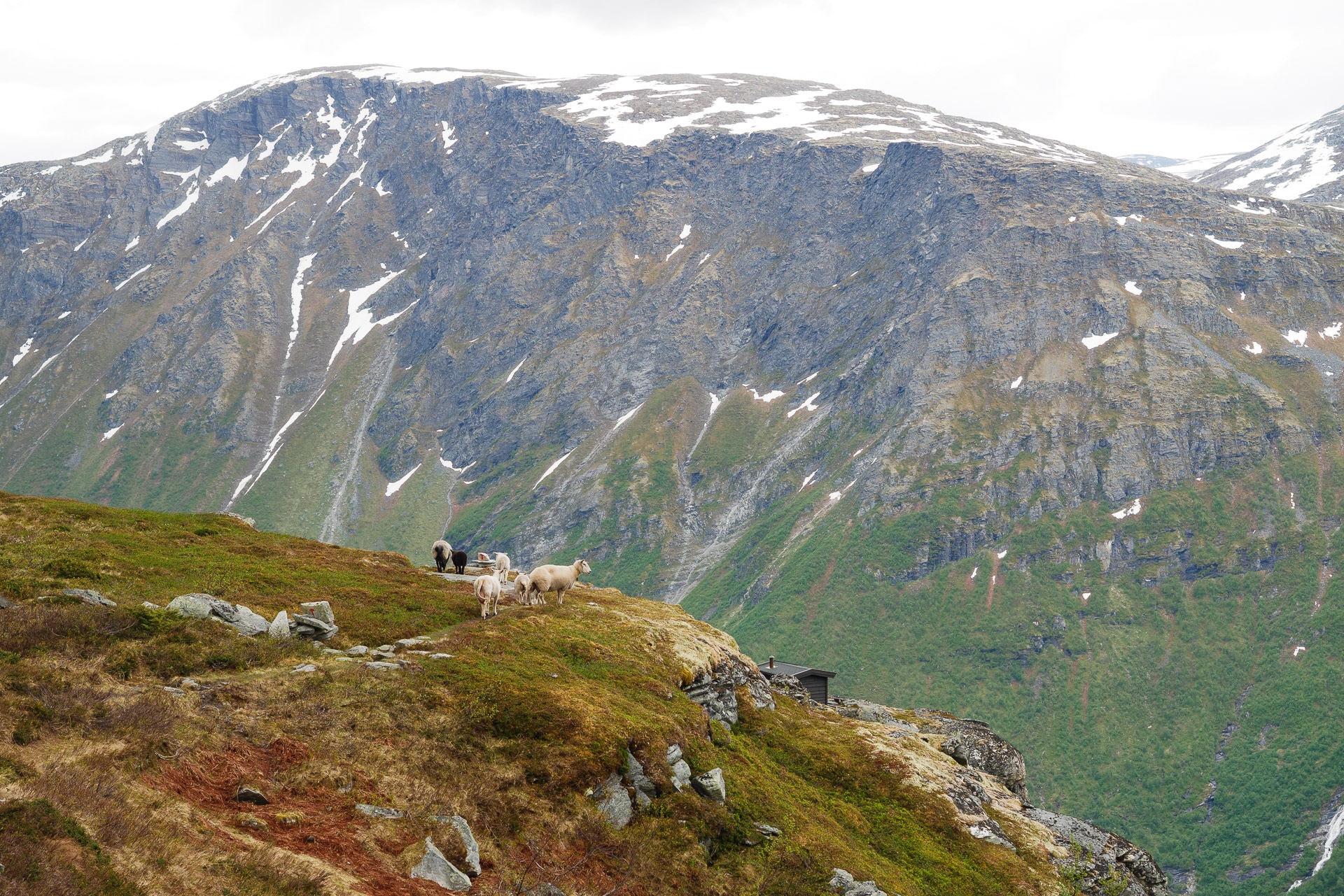
This portion can be tiring for the ankles, be careful. At the bottom of this long descent, you join the marked path which you will follow while continuing on your right. Further on you can admire the other side of the park.
All you have to do is follow the long descent that brings you back to the Visitor Center, taking the time to admire the landscapes.
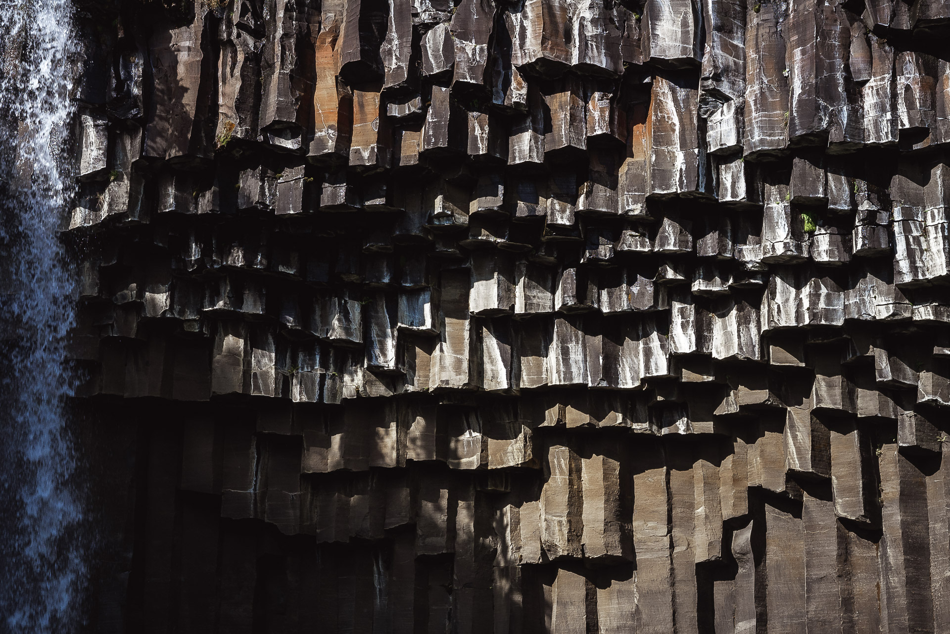
On the descent, after an observation table, follow the marked path on the left. He will take you to Svartifoss. In general the place is crowded but the waterfall is worth the detour.
A little more walking and you’re back to your starting point! Congratulations! We hope that this hike will inspire you because it offers some truly superb landscapes, among the most beautiful we saw during our stay. Even if you’re not at the top, the views up and down are worth it! And to celebrate this great walk, the Visitor Center offers a cafeteria with everything you need in drinks and cinnamon rolls!

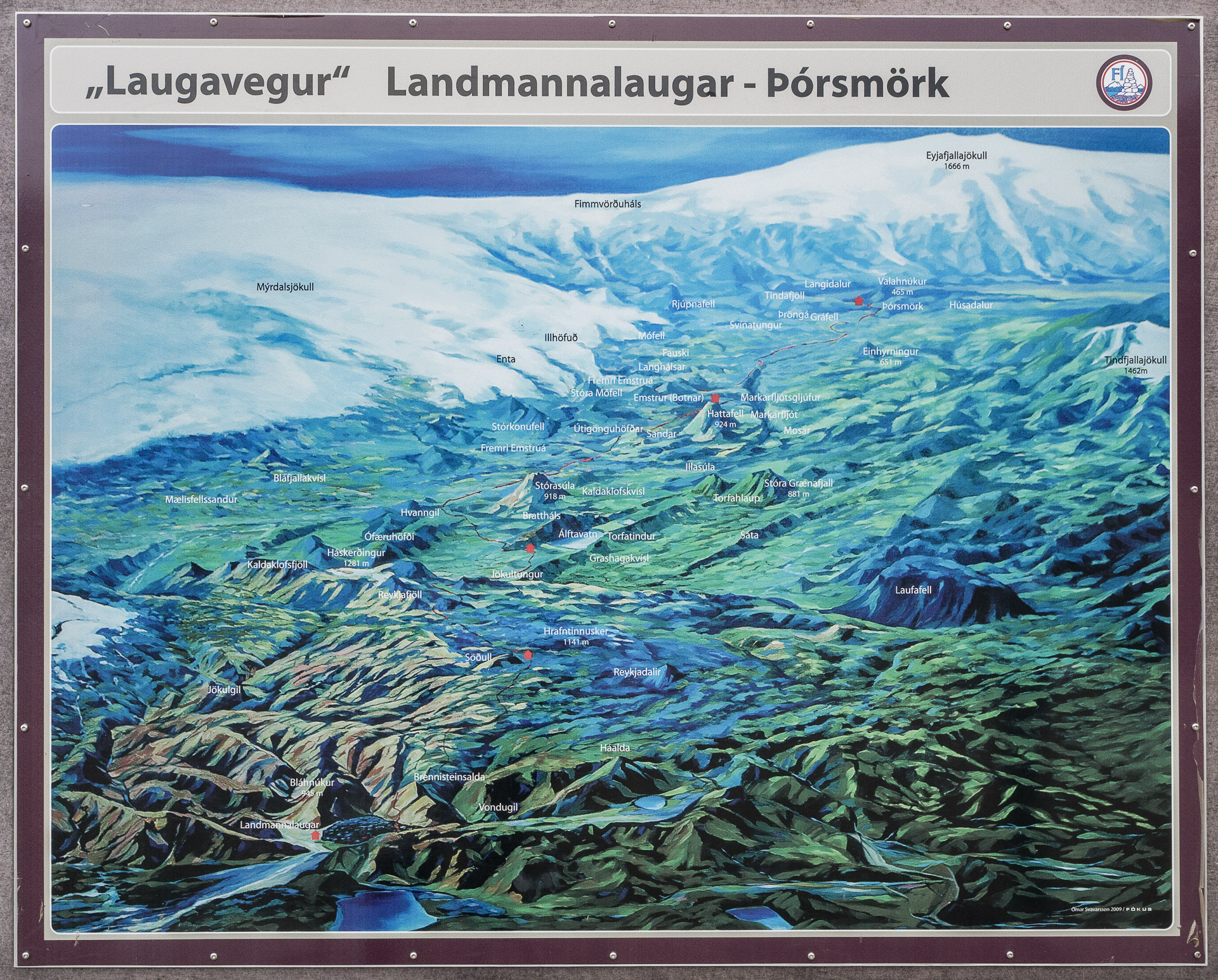
Laugavegur - From Landmannalaugar to Þórsmörk
4days
trekking
55km
walked
1100m
D+
4
fords
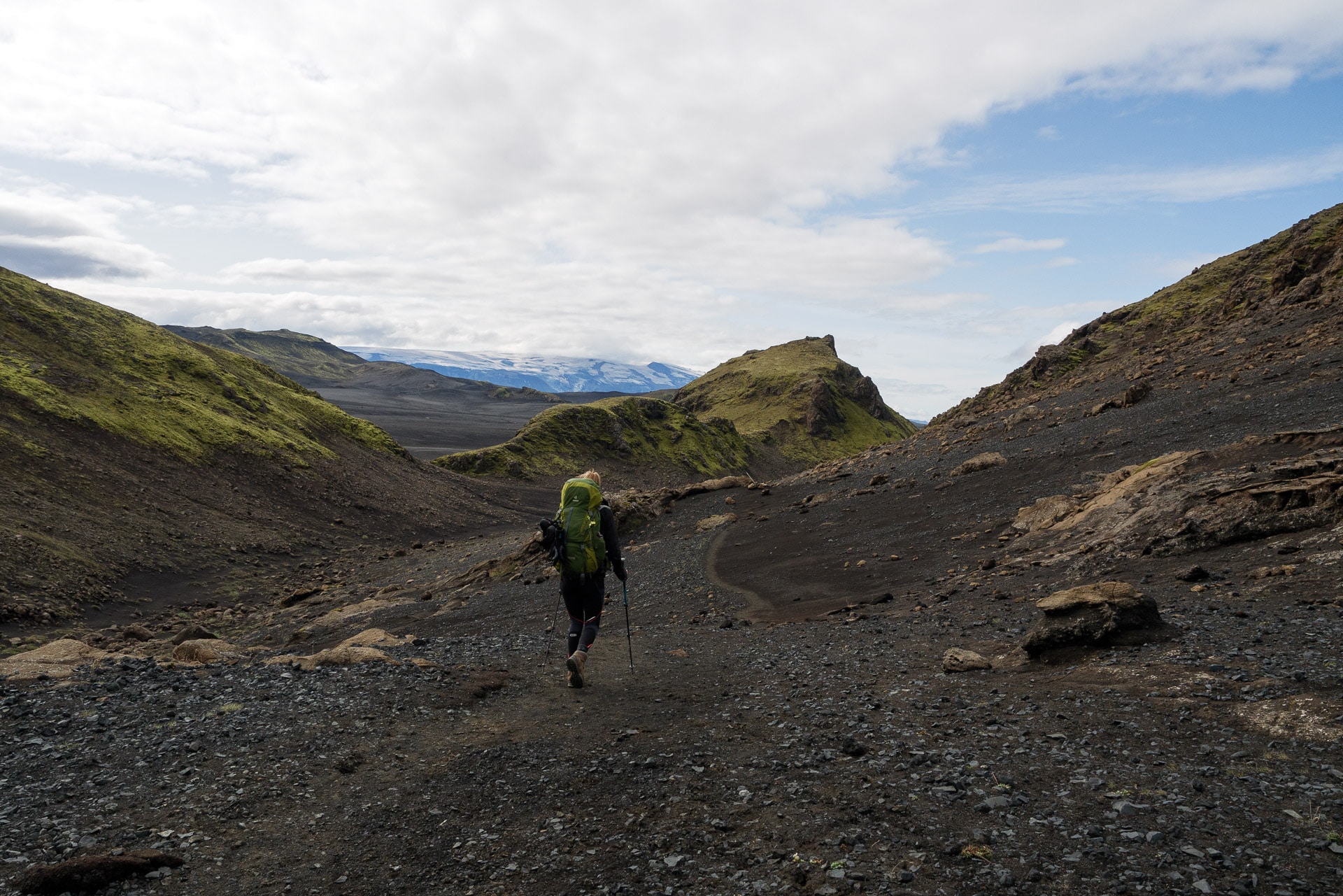
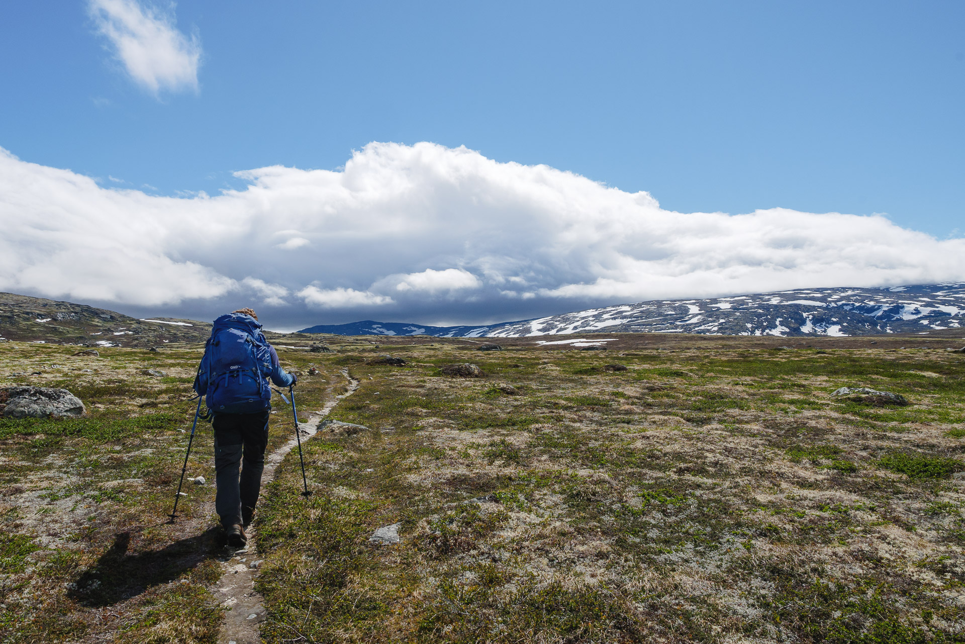
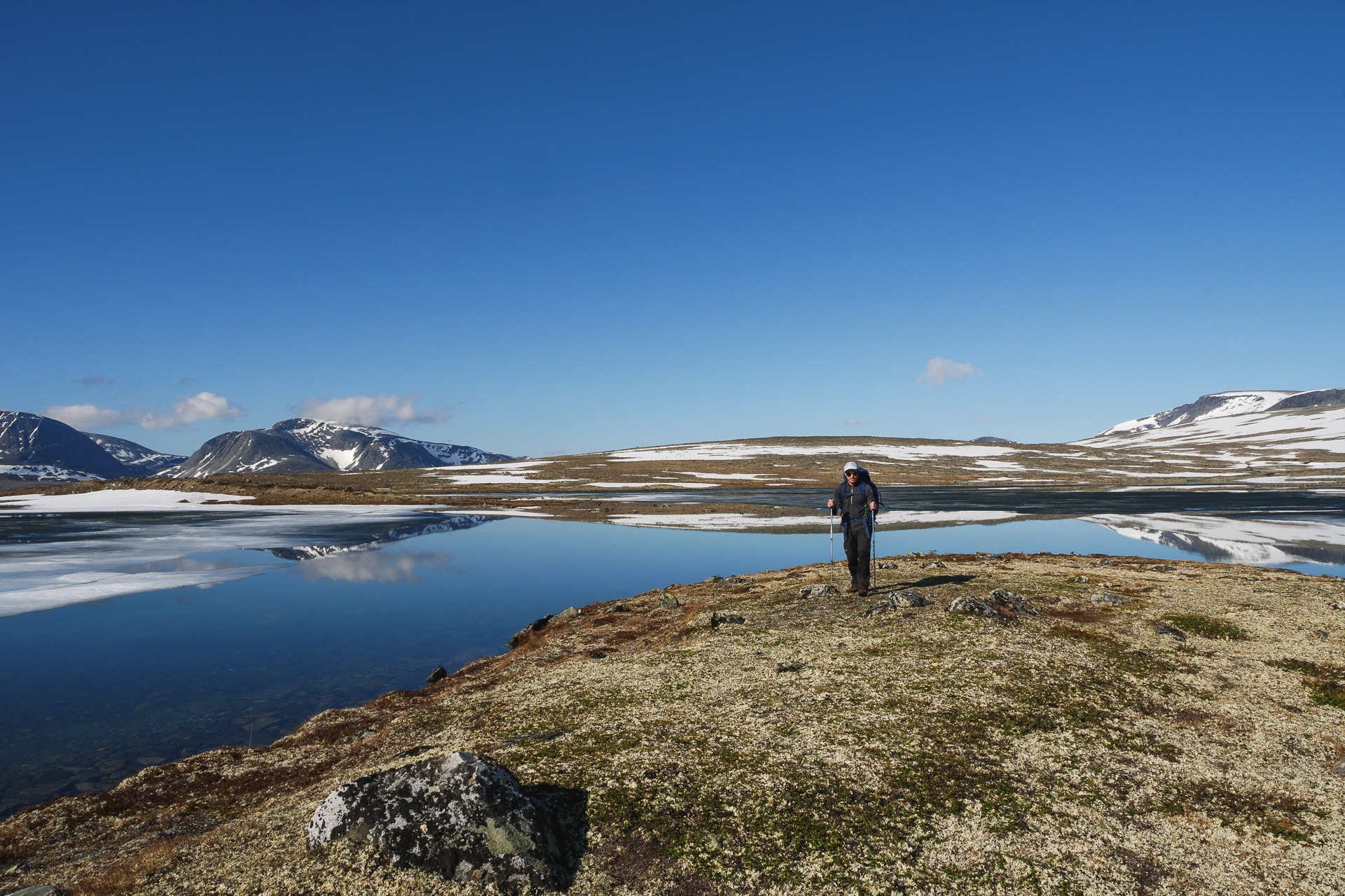
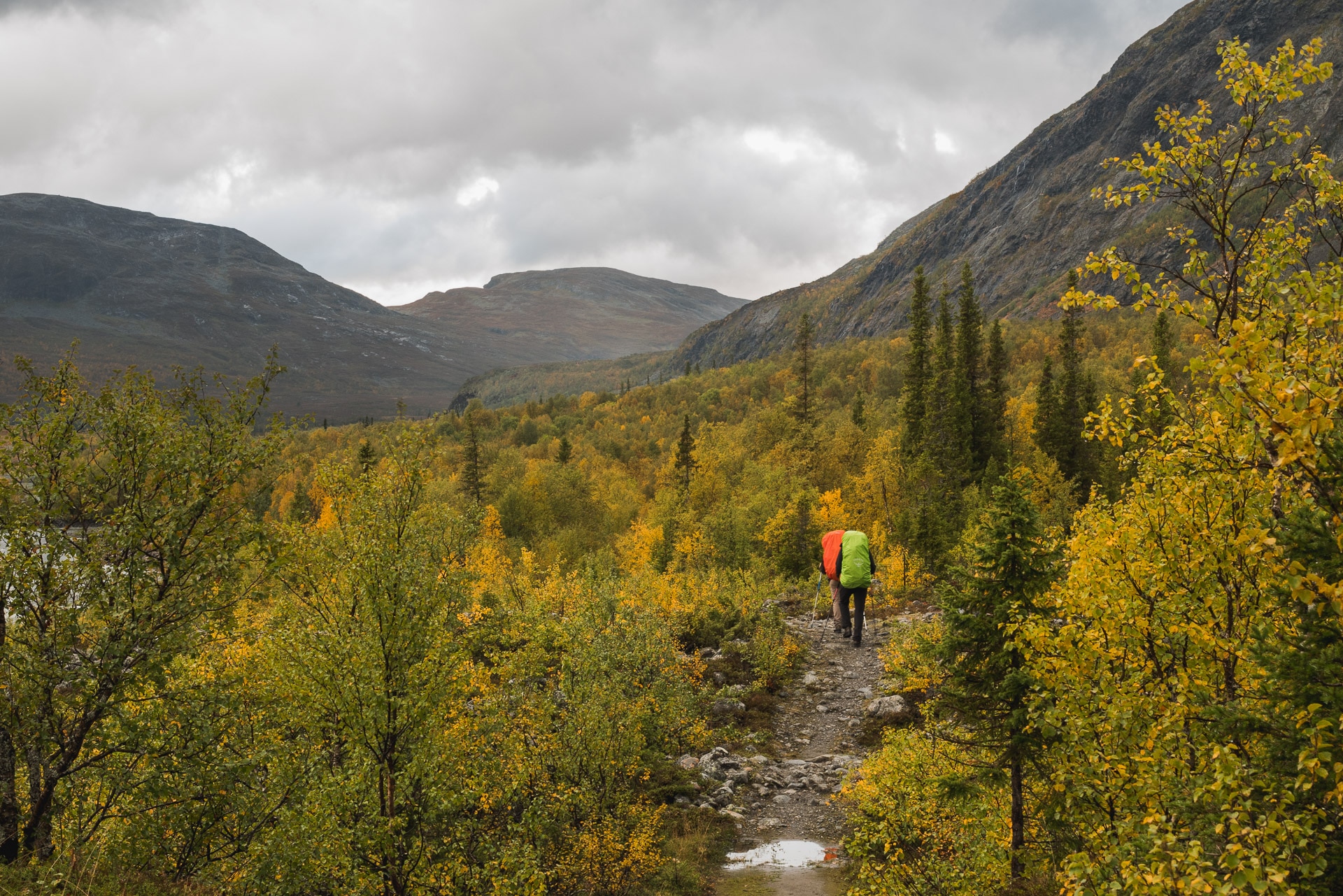
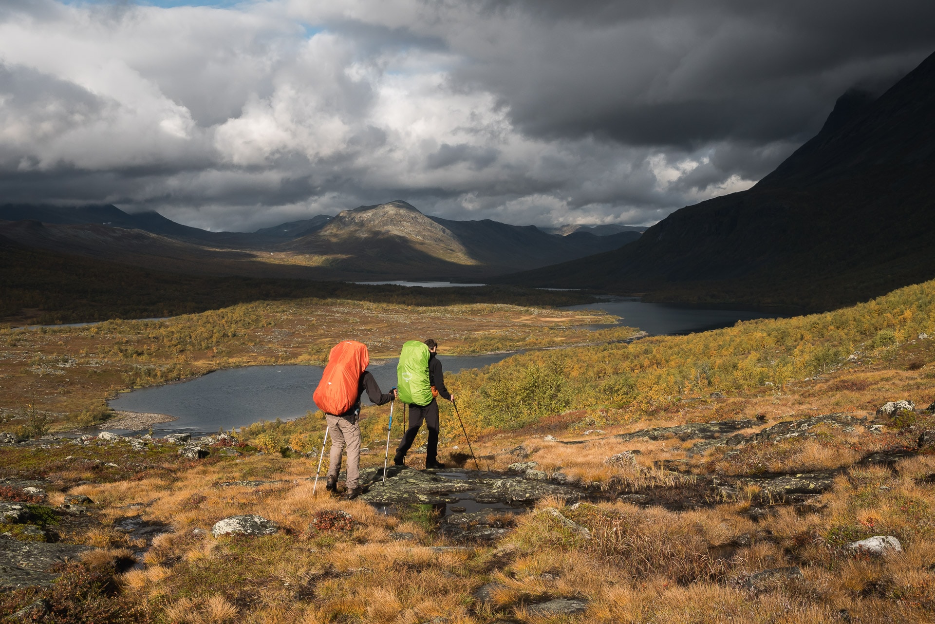
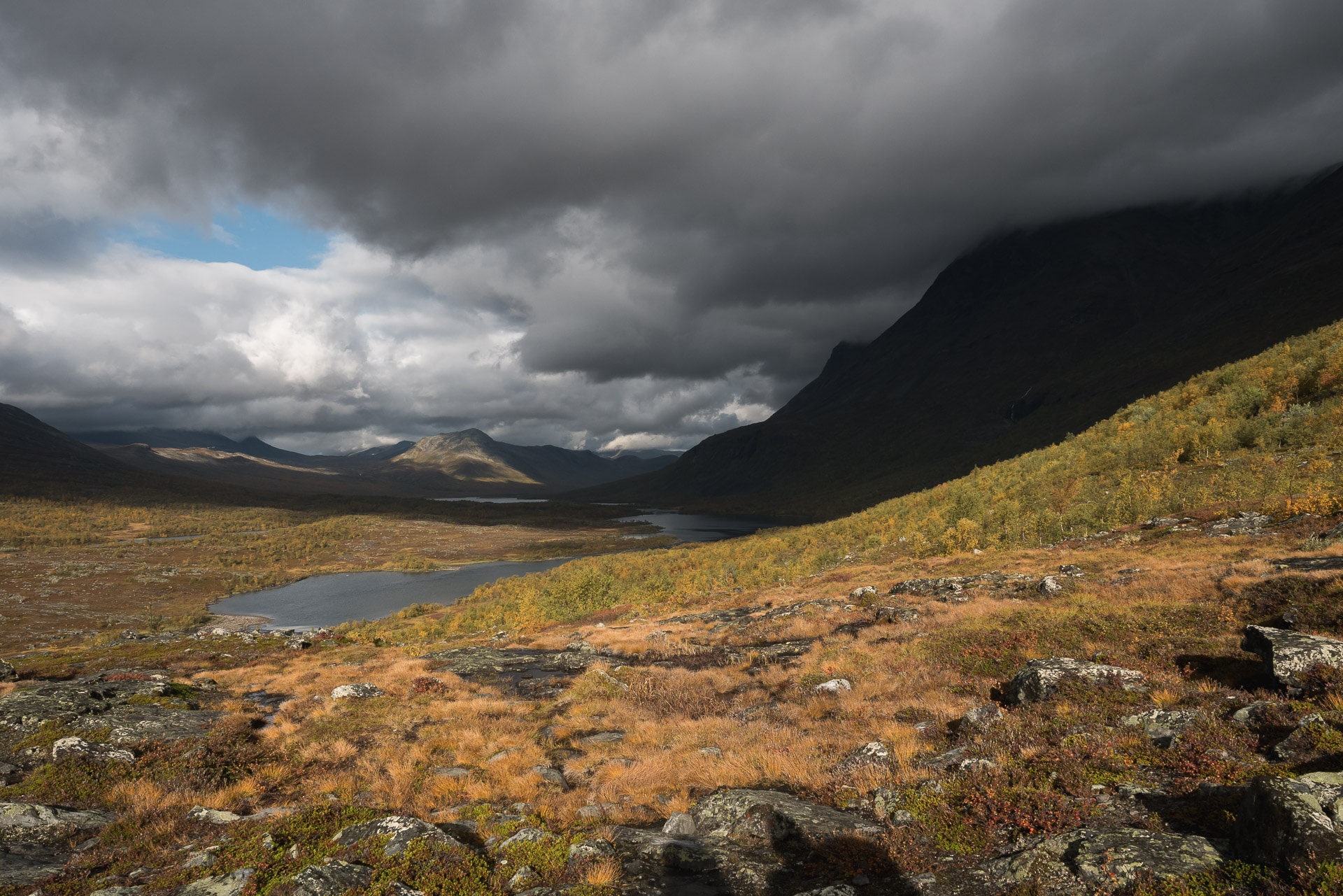
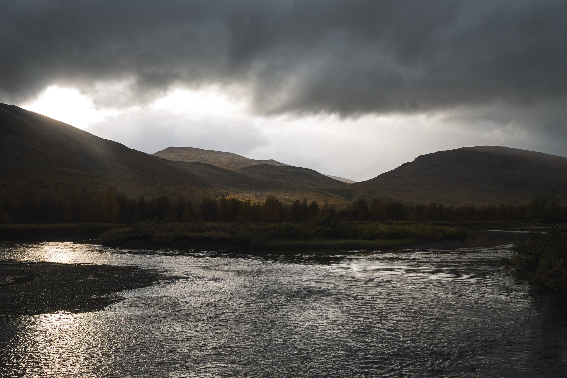
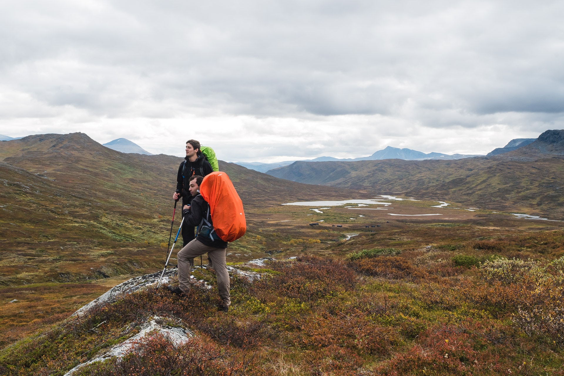
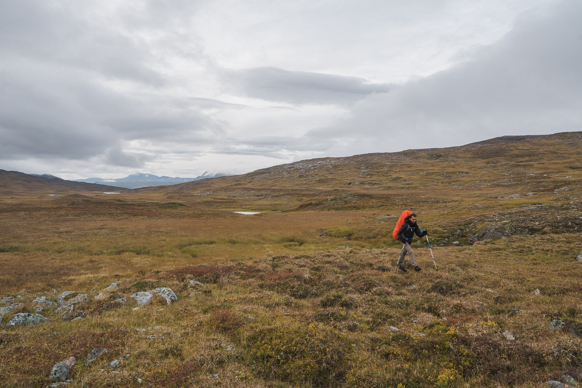
Laugavegur is certainly the best known and most popular trek in Iceland. This last point dissuaded me for a long time from exploring it, but Laugavegur is also the trek of many superlatives in terms of landscapes. You know what people say about those who do not change their mind … It would have been a shame not to discover this legendary path during our last trip to Iceland. 55km in an incredible setting to discover with us.
Laugavegur
The itinerary
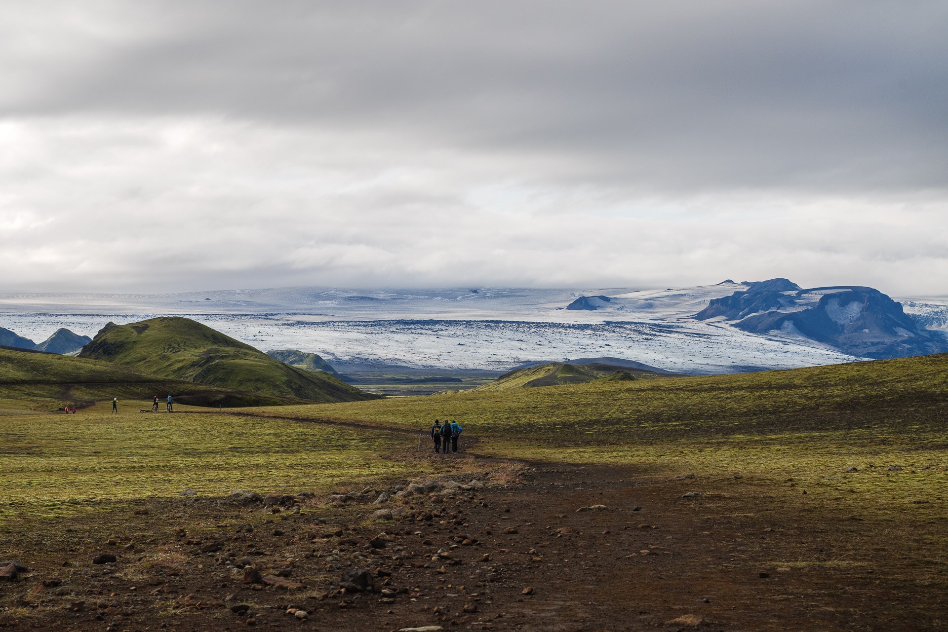
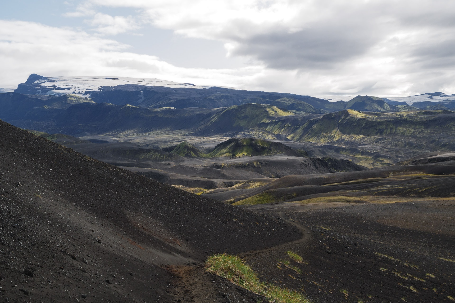
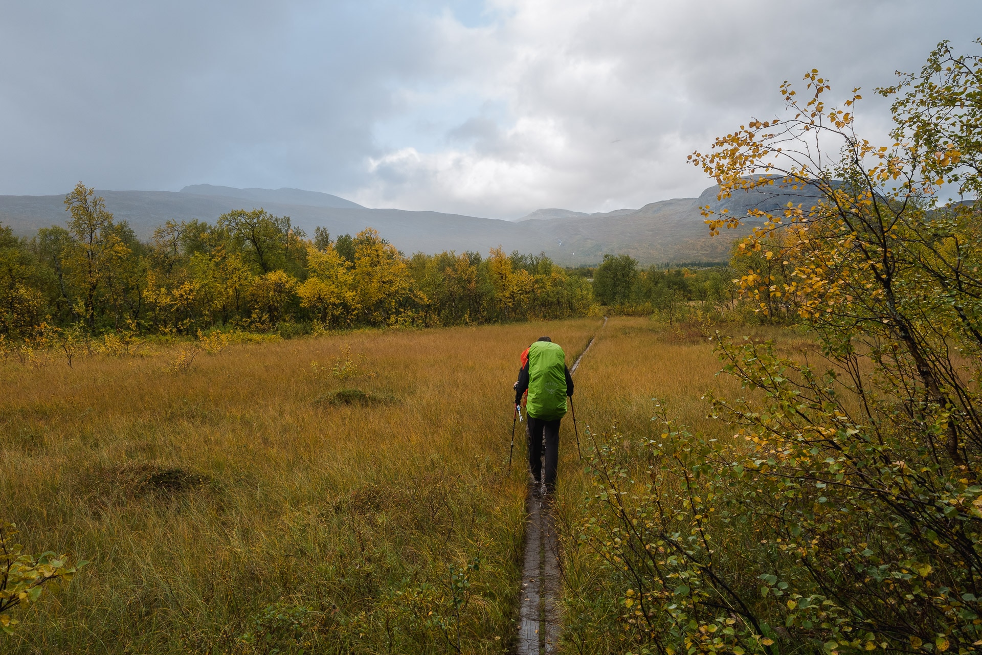
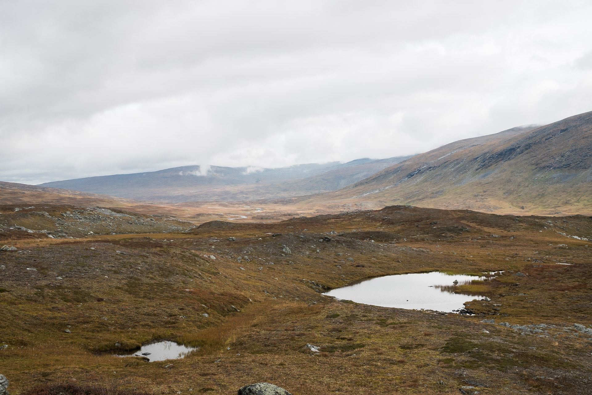
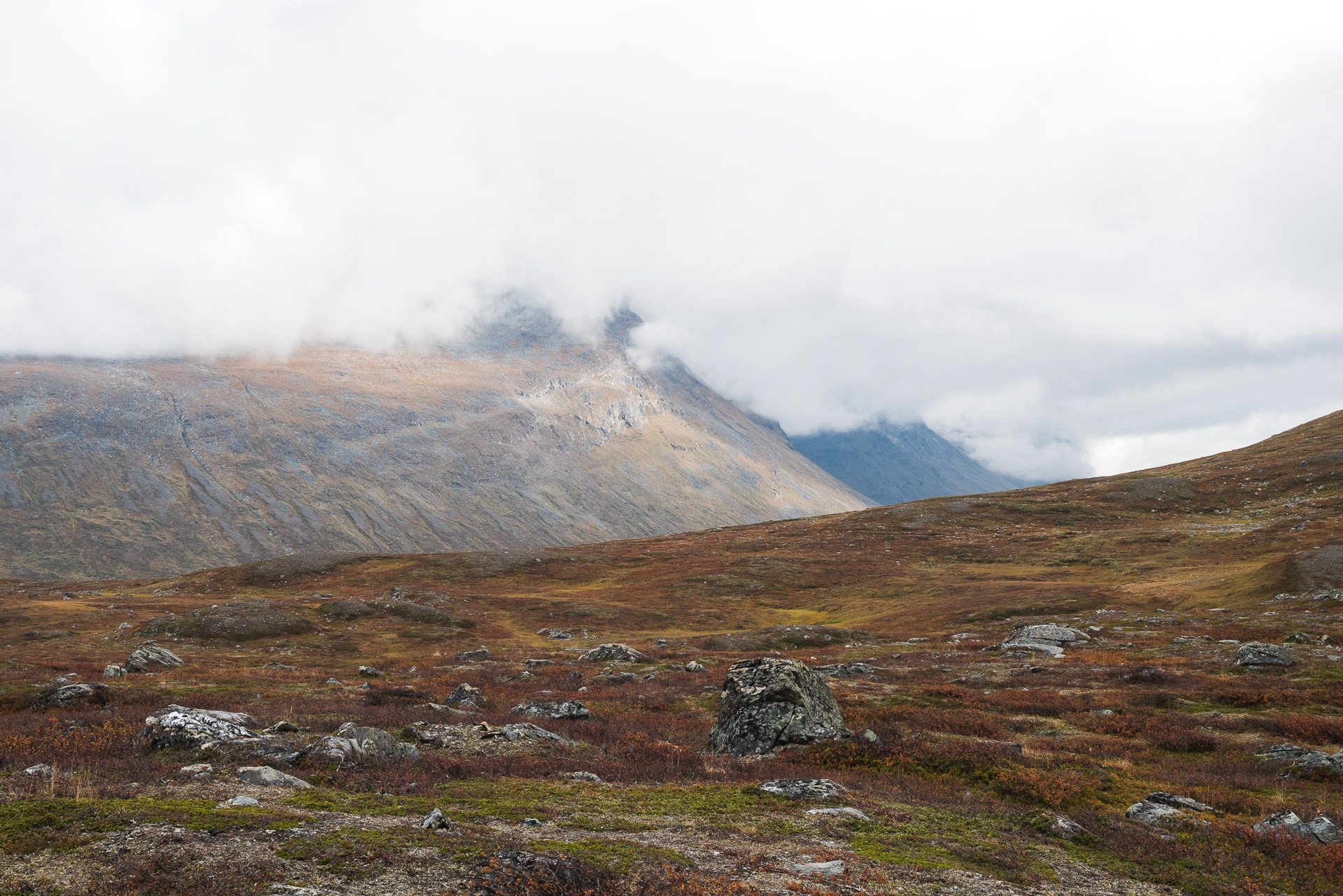
Spanning 55km in the south of Iceland between Landmannalaugar and Þórsmörk, Laugavegur, “The road to the hot springs”, allows you to discover some of the most beautiful Icelandic landscapes. The latter will be as varied as grandiose. Although the record is 4:39, the trek is generally covered in 3 or 4 days. The steps are as follows (direction North-> South):
- Landmannalaugar – Hrafntinnusker: 12km for 470m of D +
Hrafntinnusker – Álftavatn: 12km for 490 of D-
Álftavatn – Emstrur: 15km for 40m of D-
Emstrur – Þórsmörk: 15km for 300m of D-
The basic route can be extended by 22km to Skogar via the Fimmvörðuháls.
There are no major technical difficulties in terms of terrain except for river crossings (see below). The path is very well marked but you have to be careful in fog because the marks will quickly disappear.
Course direction
Laugavegur can be done from north to south or vice versa. In general, the north-south direction is preferred for various reasons:
- The wind is generally oriented N-> S in this region, it is therefore better to have it in the back than in the eyes especially when it raises clouds of sand.
- The trail generally descends in the direction N-> S
- As there are more people who the route in this direction you will cross a little less people.
Big highlights if you travel the trek in the south-> north direction, you will end in beauty at Landmannalaugar which is certainly the most beautiful landscape of the trek and you will be entitled to a bath in natural hot springs, ultimate pleasure after 55km of walking !
In fact, the distribution we found was 60/40 for N-> S against S-> N.
Difficulties
Weather
The Laugavegur does not present any difficulty in itself if it is not the few fords as we approach it below. The only real difficulty is related to the weather. Iceland, by its geographical location (close to the Arctic Circle and in the middle of the Atlantic), experiences very changeable weather which can be violent. Don’t get me wrong, a big sun can be replaced by a storm in a few minutes.
Find out as much as you can from shelters or if you have the network to know what the weather is coming or at least the trend. Iceland has an excellent reliable and well-made weather site: https://en.vedur.is/
The two main threats will be rain and wind. The latter can be very powerful and raised clouds of sand especially in the Alftavatn-Emstrur portion. Remember to protect your eyes! A little physiological fluid can be welcome in case of eye irritation.
For rain and especially if combined with wind, a long poncho seems to be one of the best ways to protect yourself. Gore-tex and other waterproof-breathable membranes very often end up allowing water to pass in the event of sustained showers (flow and duration). Protect your bag and its contents well also thanks to a bag (watch out for the wind!) And waterproof bags inside.
Fog is also a real danger because it will make the markings disappear if it is thick. You will find on the road a commemorative plaque of a hiker who died a few hundred meters from a refuge because he got lost due to a storm obscuring the markup! The danger is real! If you are lost staying where you are and waiting for a lull, do not try to go further this is how you put yourself in danger.
Even if you are in a group, tell someone outside of your route and the dates planned. He / she can give the alert if you are not back after a few days.
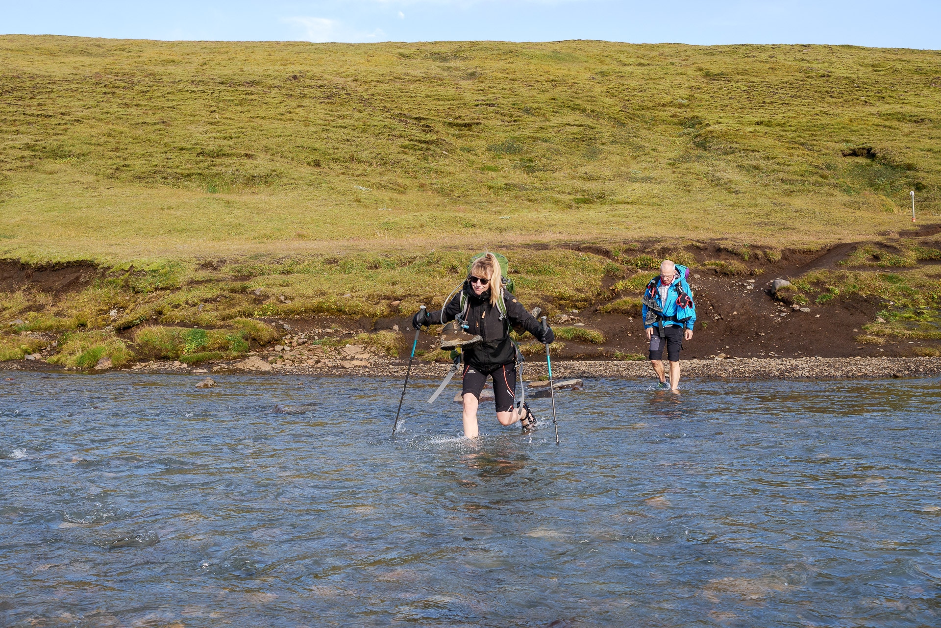
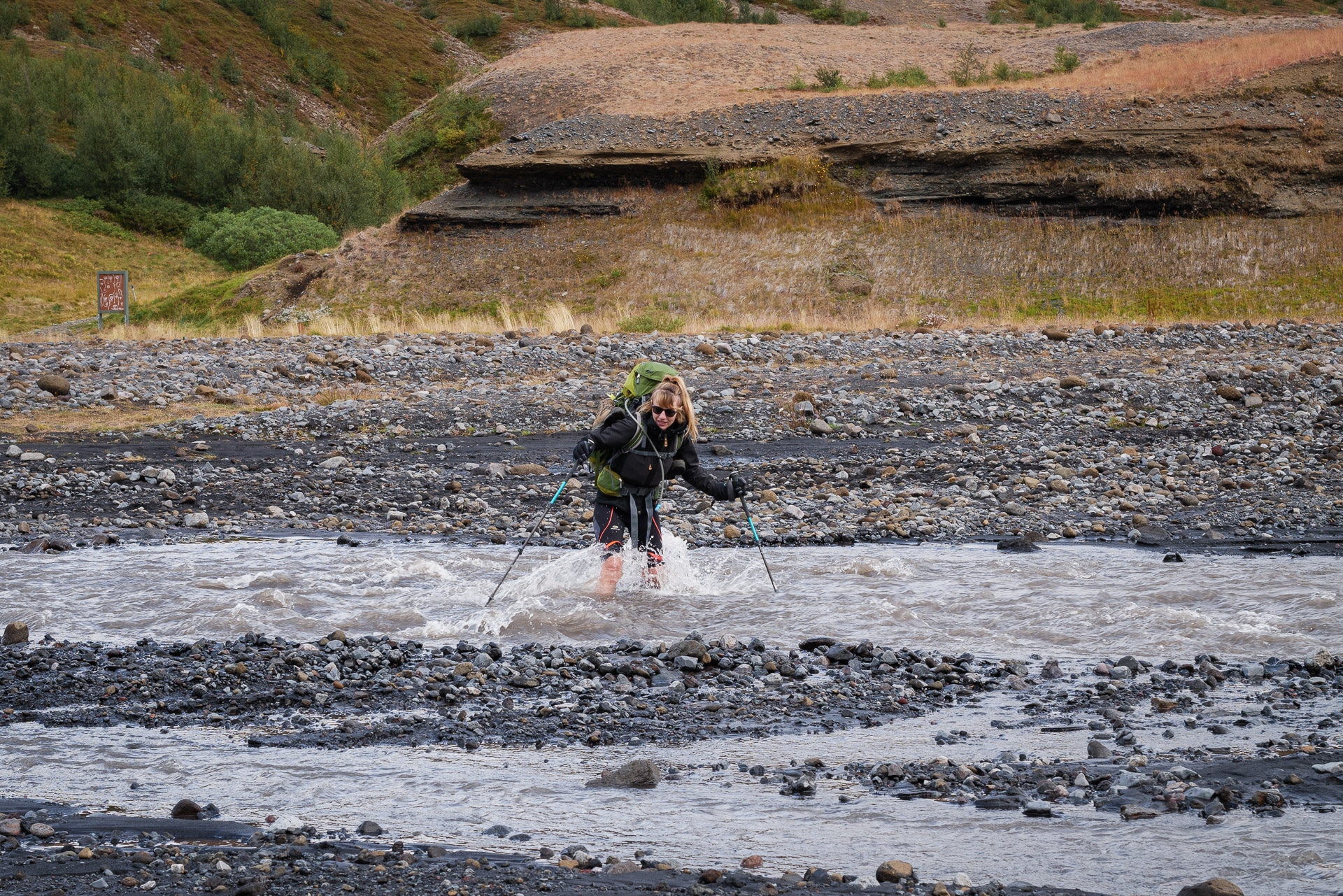
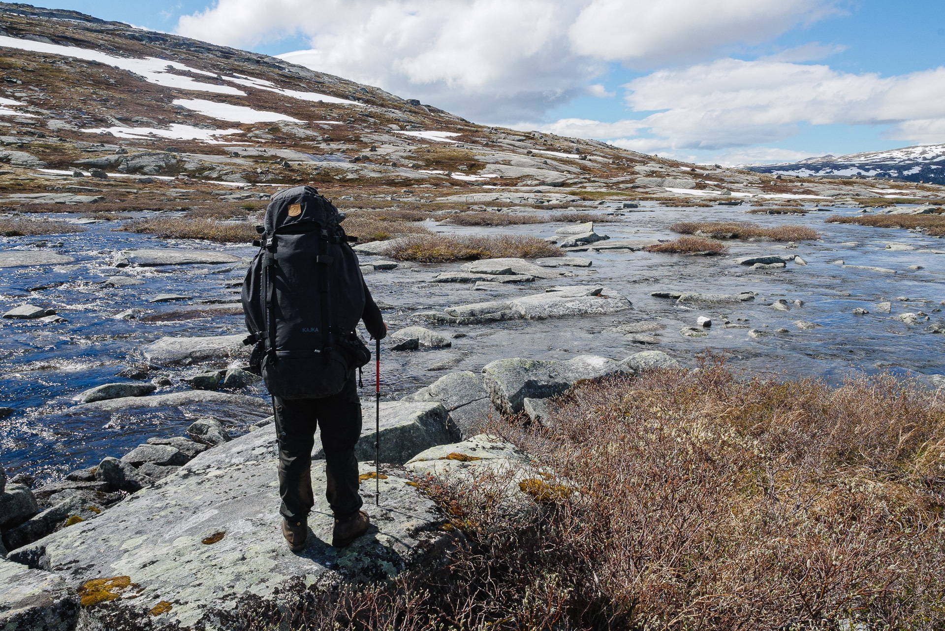
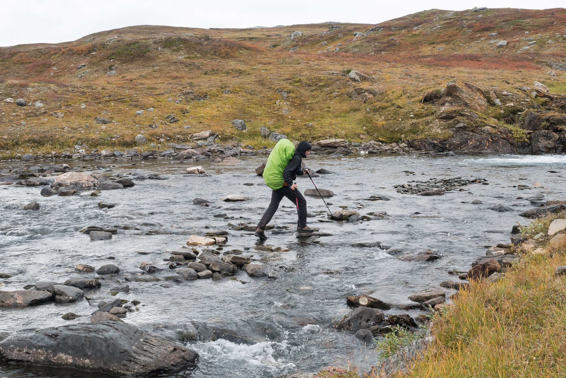
River crossings
There are four river crossings that you must ford, that is to say by crossing the rivers on foot. In addition to being a very unpleasant moment given that the water descends directly from the glaciers and does not exceed 5 ° C, this is a moment to be approached with caution because a fall could be problematic or even dangerous.
Here are some tips to minimize the risk:
- Cross where people cross: if the groups cross here it is because it is surely the best passage, more there will be more people which is a guarantee of security in case of glitch
- Organize the crossing well: store what must be protected from water, prepare a small towel if necessary, plan the trajectory of your crossing, detach the waist and chest belt from your backpack because in the event of a fall it must be able to get rid of it quickly.
- Provide suitable shoes: many people provide sandals or crocs for the crossing, this allows to protect from sharp rocks and improve grip (and can be used in the evening at the bivouac). For my part I did it barefoot, it works but you have to be careful with slippery rocks.
- When crossing and especially in case of strong current, stay facing the flow and move aside. Do not try to fight against the current but on the contrary to use it to help you. Walking sticks are very practical for improving balance.
- A ford crossing becomes dangerous when the water level exceeds the knee: if this is the case, be extremely careful and cross in a group if possible, holding on to each other.
- In general: do not tempt the devil and it is better to turn back to the holy path and except to take reckless risks.
General informations
Join the Laugavegur
The access points of the trek are as follows:
- Landmannalaugar: accessible by bus or 4×4 by the Landmannaleið road and the F208 – Beware of some fords to cross.
- Þórsmörk: accessible by bus and 4×4 by the F249 – Please note: many fords to cross and some really deep!
- Skogar: accessible by bus and by road 1
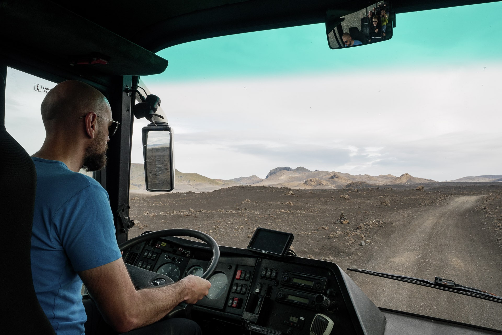
If you are on foot, you can see that access by bus is easy at the ends of the trek. We went through the Reykjavik Excursions company. The “Iceland On Your Own” pass allows a certain flexibility and lowers the price a little – Count 100 € / person round trip.
You will find the info at the following address: https://www.re.is/golden-circle-tours/
Another company that we encountered several times on site: https://trex.is/scheduled-bus/
Refuge or bivouac?
The Laugavegur offers the possibility of crossing it either entirely in a refuge or in a tent or a mix.
Shelters are a comfortable but very expensive choice! Count 130 € per night for two without the meal which is not offered. You will therefore have to bring your food even with this choice. However, the shelters include a kitchen that does not take meals-on board. You can also stock up on basics in some shelters which can be useful.
You will find a lot of additional information on the FI website:
Price: https://www.fi.is/en/mountain-huts/terms-and-conditions
Distribution of shelters: https://www.fi.is/en/mountain-huts/map
FAQs about Laugavegur shelters: https://www.fi.is/en/mountain-huts/faq
PLEASE NOTE: shelters must be booked in advance. We were lucky to find space the same day without a reservation, but it is rare. Some of the people we spoke to on site had booked several months in advance and had long been on the waiting list …
The bivouac sites near the refuges are chargeable (around 20 € per night) and quite variable in quality:
- Landmannalaugar: very stony and noisy because sometimes crowded. The common tent is nice.
- Hrafntinnusker: potentially very windy. Stone walls protect a little.
- Álftavatn: also windy, you can use the buildings to protect yourself from the wind
- Emstrur: pleasant even if the pitches are dense
- Þórsmörk: prefer Laugidalur which is very pleasant and offers beautiful views of the glaciers
You can also bivouac between the huts (except in the Landmannalaugar park) but the very sandy or rocky terrain is not always practical.
In terms of our experience, we had planned to bivouac near the shelters but the excruciating weather we had led us to spend two nights in the shelter.
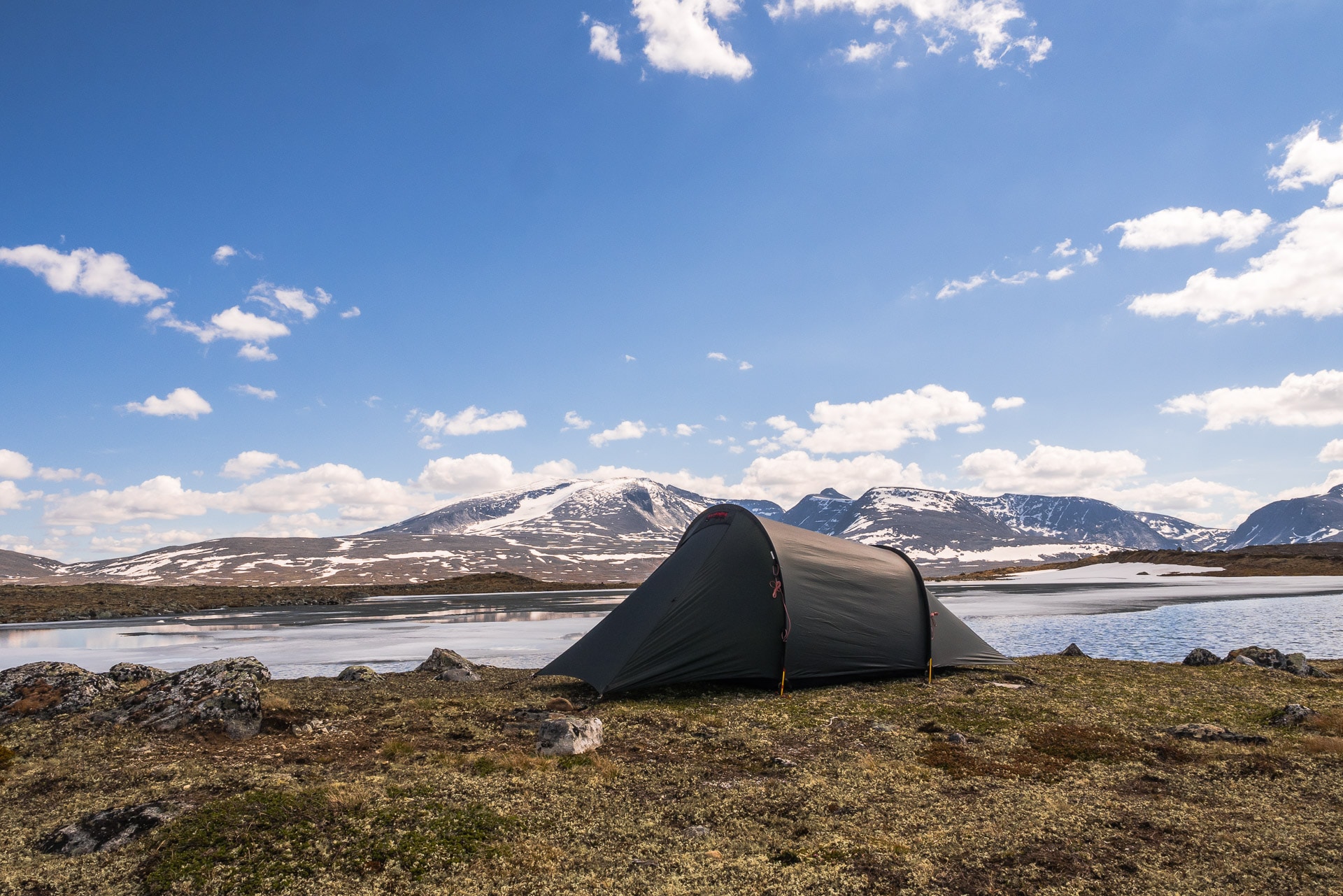
First day - From Landmannalaugar to Hrafntinnusker
August 18, 2019, after two days spent in the Landmannalaugar to discover this wonderful site, we begin our four days trek towards Þórsmörk.
Also discover the Landmannalaugar through a day hike
The beginning of the trail is behind the refuge of the Icelandic hiking association, the “Ferðafélag Íslands”. We start by crossing an old lava flow which presents pretty balsatic structures. The weather is fine for the moment and we don’t see anyone.
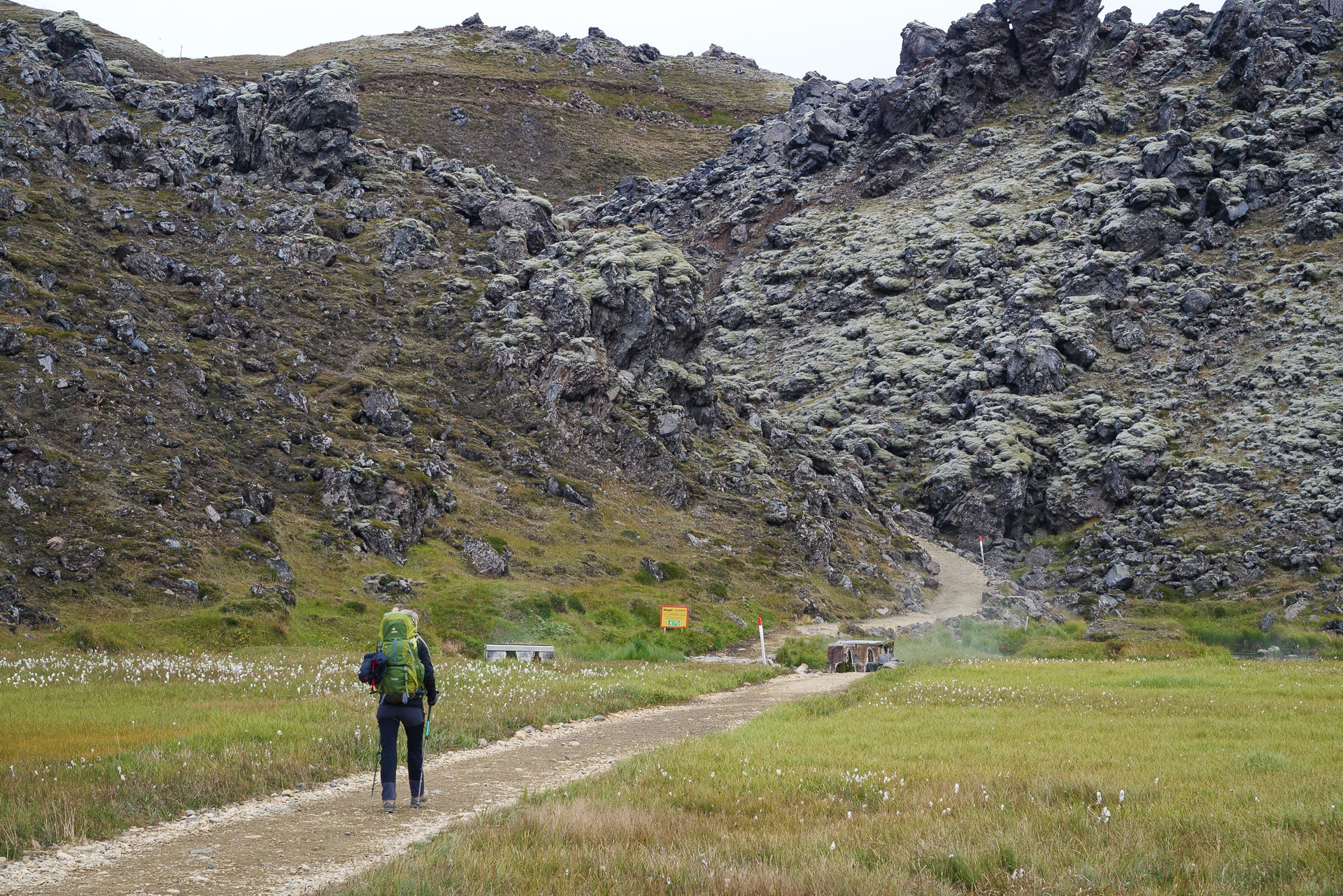
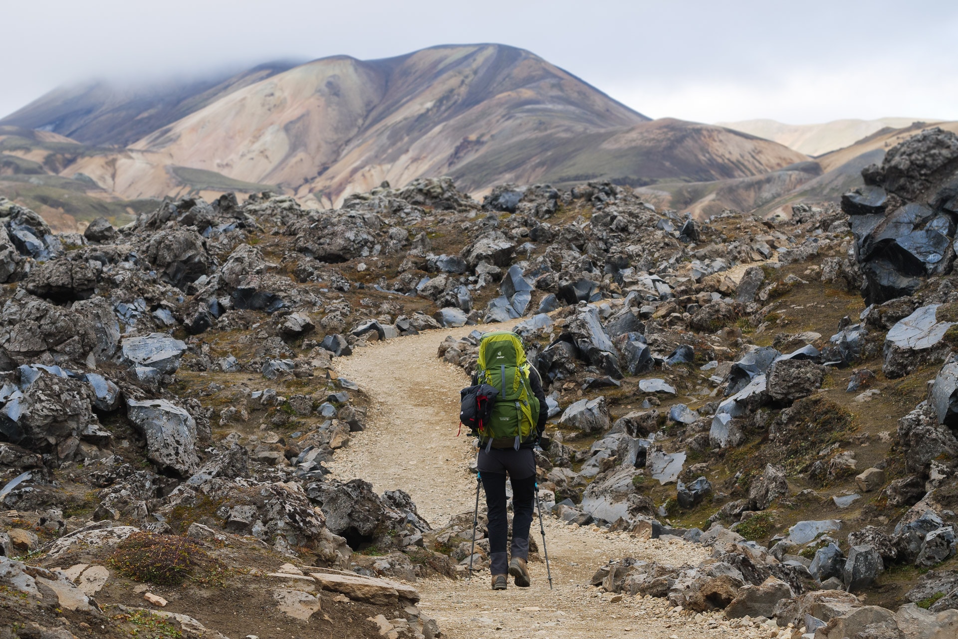
We quickly reach the fumarole on the heights of Landmannalaugar. This is followed by a short but intense climb which allows you to reach the top of the hill. The landscapes that await us always reveal themselves as rich in color!
Volcanic formations sometimes create strange shapes. We come across one evoking a dinosaur or dragon skeleton – which fits very well with the decor and the atmosphere elsewhere.
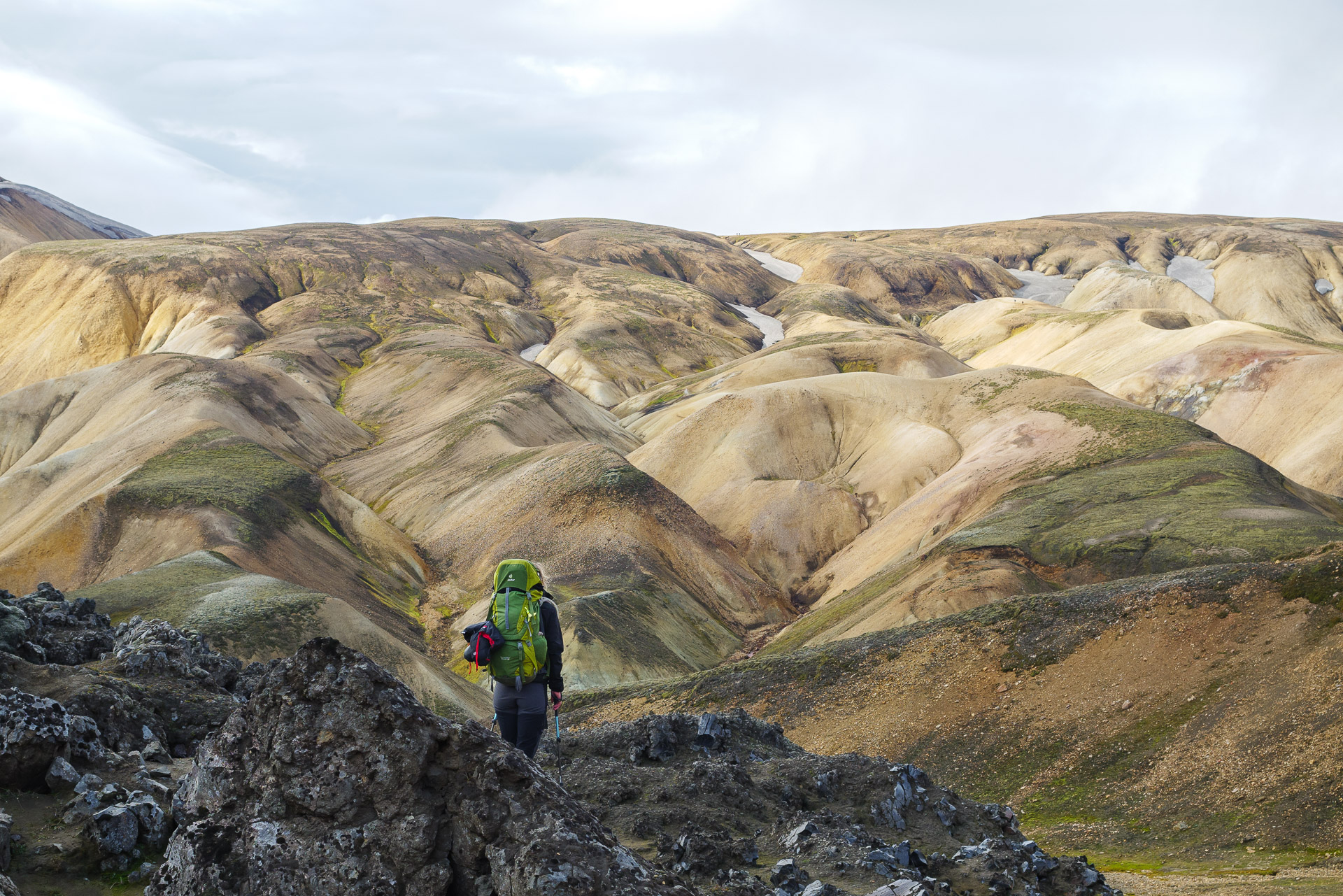
The path continues following the crest of the hills. The wind has risen since we passed the small pass. The temperature has dropped well, we are also a bit humid since there is also mist. Here, impossible to protect yourself from the wind because there are no trees or bushes; just rockery as far as the eye can see.
Fortunately, the path is well marked otherwise we would quickly get lost. Temperatures continue to drop and time to turn bad.
We manage to shelter as best we can in a trench enough to eat a little bit and put on big gloves and protect the bag from the drizzle.
A little further we will come across small fumaroles just next to the path. It’s a chance to be able to see this kind of phenomenon so closely.
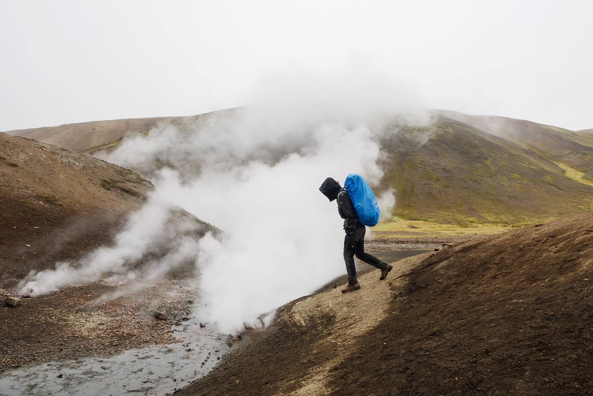
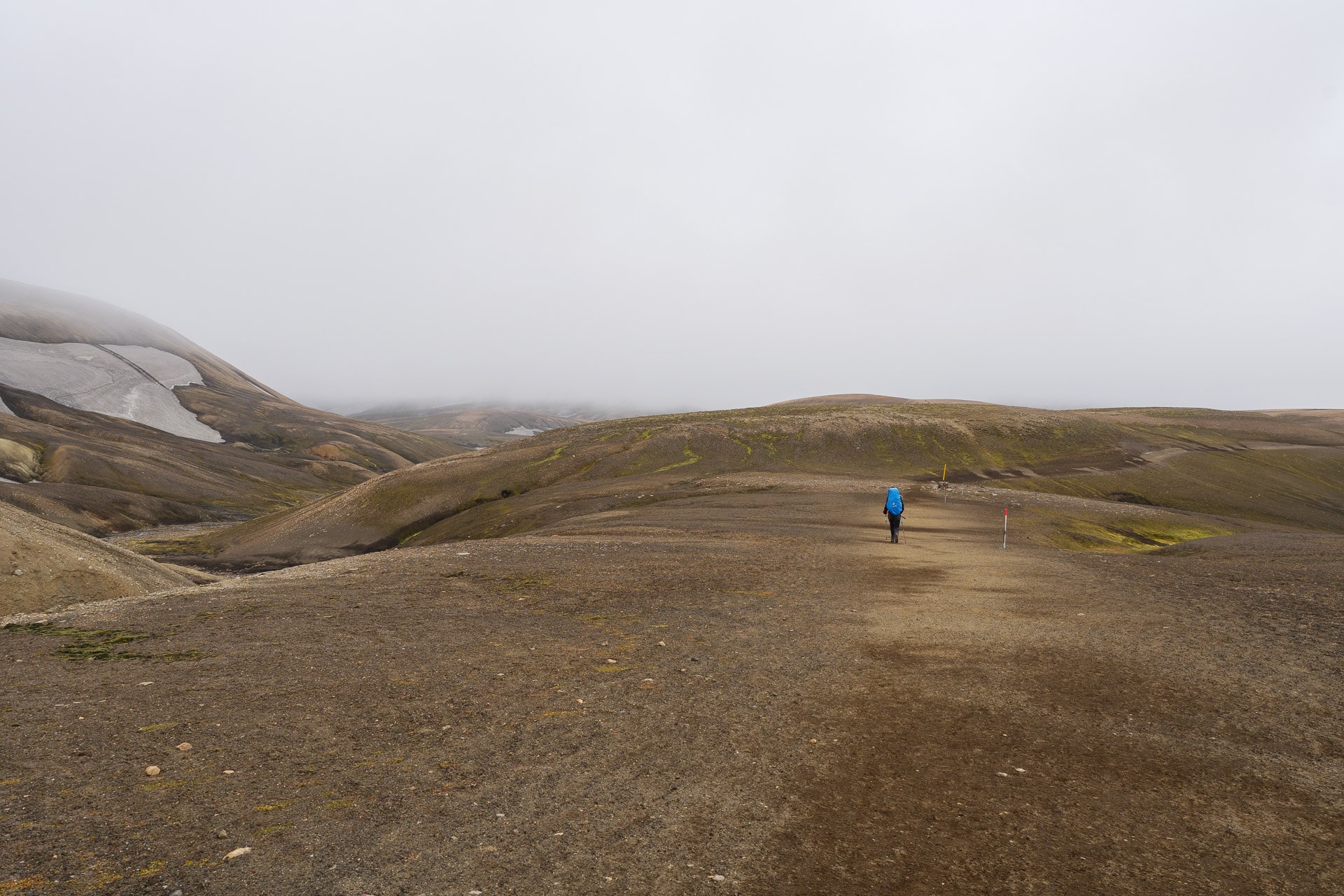
Quickly we arrive on a plateau which is lost endlessly in the fog. It is getting more and more stuffy. There are almost no more colors, we see life in black and white. Even if you don’t have the views you want, the atmosphere is great. You feel good in the heart of wild Iceland. We meet few people and that’s good because I was a little afraid of the crowd.
The few hikers we see, look more like shadows than real people.
A few more snowfields to cross and here we are with a view to the Hrafntinnusker refuge. The 12km will have been fast because we were not idle given the weather.
It also seems to be getting worse and worse, which is confirmed by the person at the reception of the refuge. The rain arrives and will force in the evening, the wind will keep him strong. Tomorrow’s weather looks horrible.
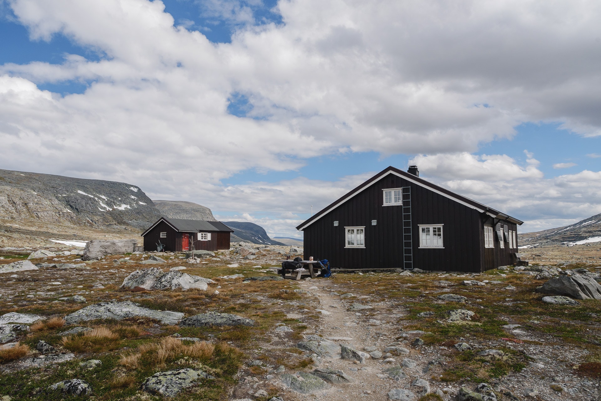
We had planned to bivouac but we change our minds. First of all, the bivouac area is not very attractive, while rocky and in the wind, the weather does not encourage you to stay outside. We are not there to perform but to enjoy walking. Luckily there are 2 places left! We take them even if the 130 € note hurts a little …
We are the first to arrive with a lovely retired Canadian couple. We sit on a double berth before we cook to warm up. The refuge is nice and clean. There are two large dormitories and a kitchen with all the necessary equipment.
The afternoon will be dedicated to observing the outdoors (especially small birds fighting against the wind), chatting with hikers who arrive drop by drop and resting.
Meal time will be hectic since everyone cooks almost at the same time but at least it warms the atmosphere.
We will sleep well tonight because, luckily, there are no snorers with us. It is in our interest to rest well because the day of tomorrow is going to be terrible …
Day 2 - From Hrafntinnusker to Álftavatn
This day will be remembered as one of the worst we have experienced hiking from a weather point of view … There will be no photo on this day of walking because we did not want to damage the appliances. Anyway we would have had monochrome white as a photo …
The awakening is almost collective around 7am. Everyone is watching the weather outside because it is supposed to get better in the morning but for now it is rain, fog and very strong wind. Nobody hurries. We make a rich breakfast in order to store calories.
9 am … The weather has not changed … The groups are starting to prepare. Motivated by this emulation, we also set off. Final adjustments outside. We directly took out the big artillery to protect us from the rain (poncho, rain pants for Hélène, …).
We attack! The wind comes to us from the rear left (big drop!) It is so strong that it bothers us to walk. Sometimes the gusts (in the 100kmh surely) deport us by a few steps … The whole thing is accompanied by an almost horizontal rain which only wets us on the left but which lashes the face. Landscapes, we only see the general shape. The path follows a succession of small hills.
Despite these particularly harsh conditions, we are living in a great moment because we are doing good things against bad luck and we are laughing at all this! We seek in our complicity the energy to move forward and it works! Fortunately for us, we have suitable equipment; we meet certain groups in canvas sneakers and without real protection against the rain, apart from comfort we can quickly border on danger …
The kilometers pass under always equivalent conditions. At the end of this long plateau, we begin the descent which leads us to the real difficulty of the day: the first ford!
We join him quickly. It is not very wide, at most 8m but the flow is strong and the water level reaches the knees! The idea of crossing a river whose water is at 4 ° C is never cheerful but with this wind and the rain I admit that you have to look far to find motivation. The simplest and that is what we do, is to turn off the brain and go. I’ll go first. When you enter the water you have a feeling of cold but it’s okay, it is after 10 / 15s that the pain arrives, sharp and violent! When you get out of the water it goes in 30s but at the time it is really not pleasant. Hélène follows me, for her the pain is even worse I think but she overcomes the difficulty and arrives on the other side. There follows a little apocalypse moment because we have to get dressed in the rain and in the wind with the ponchos in the face, trying in vain to dry our feet … This first wading was epic for us. conditions and will remain in memory.
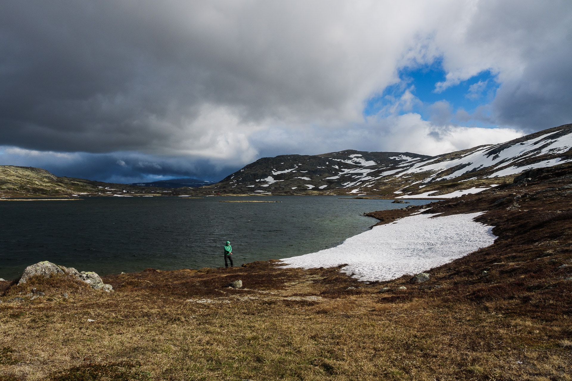
We only have a few kilometers to Álftavatn where we will resume the night in a refuge because we are still very wet after a day like this and it is no use playing “heroes”. The refuge will also be transformed into a giant clothes line because everyone arrives soaked (at different levels). We will spend the afternoon resting, warming up and above all chatting with Adin and Amélie, a very nice French couple that we will see again in Paris.
The weather will be a little milder at the end of the day, the wind will be just as strong but it will not rain any more. This will allow some stuff to dry outside in the wind.
What a day ! Too bad we couldn’t take pictures of the walk. Like another day like this during a previous Sarek trek, this one will remain in our memory like Mordor! We will sleep well tonight anyway. Tomorrow’s day promises to be better, because the sun must return.
Laugavegur is not difficult in itself but the weather is really the hard point. Plan ahead and go equipped!
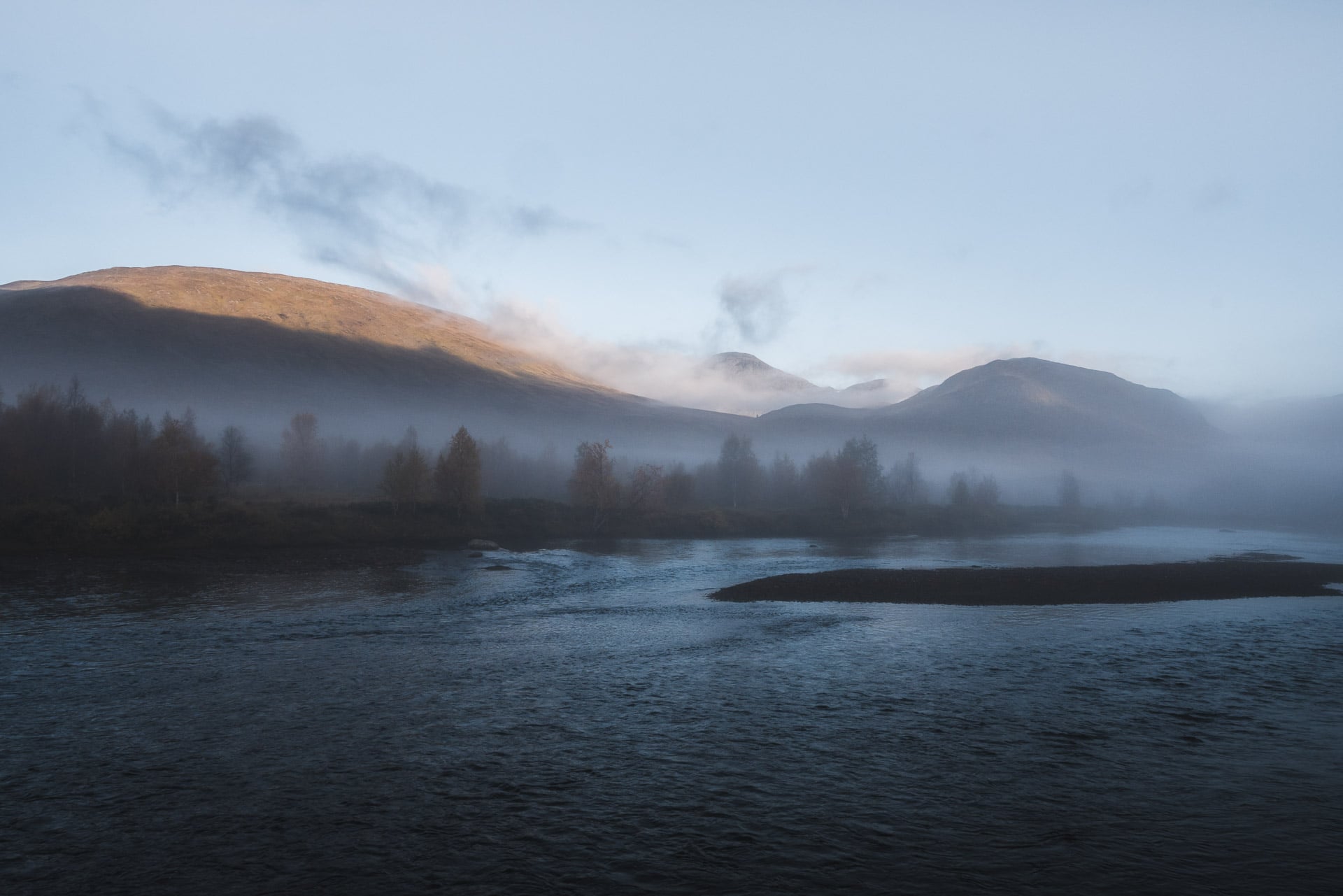
Day 3 - From Alftavatn to Emstrur
We had a good idea to choose the night in a refuge. We wake up rested and ready for a new day. The icing on the cake it is beautiful this morning!
The preparation is therefore done in a serene and relaxed atmosphere. Most of our things have even had time to dry out. Only the shoes are still wet.
We say see you soon at Amélie and Adin and we take the road towards Emstrur. What a pleasure to be able to enjoy the beauty of Laugavegur and its landscapes.
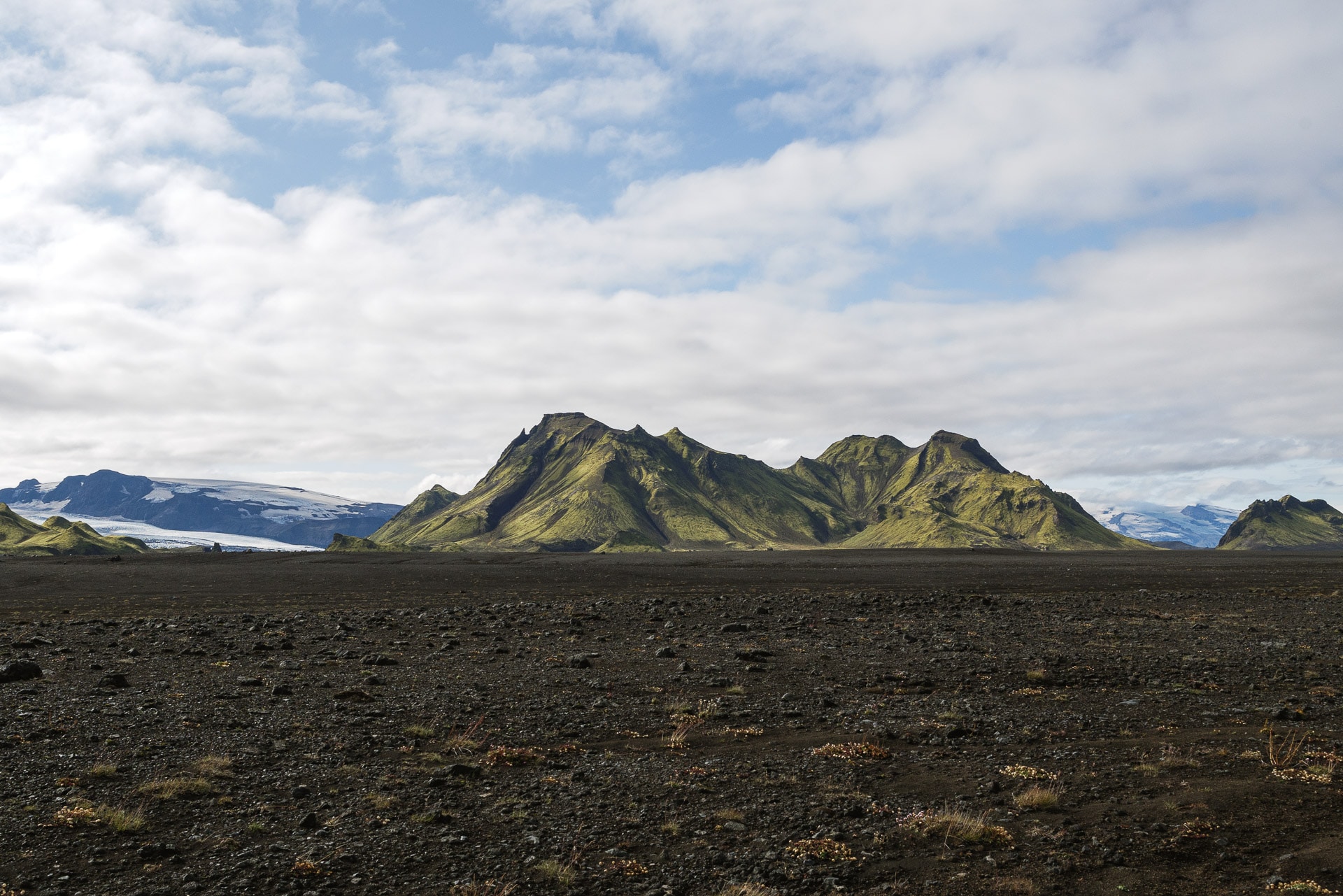
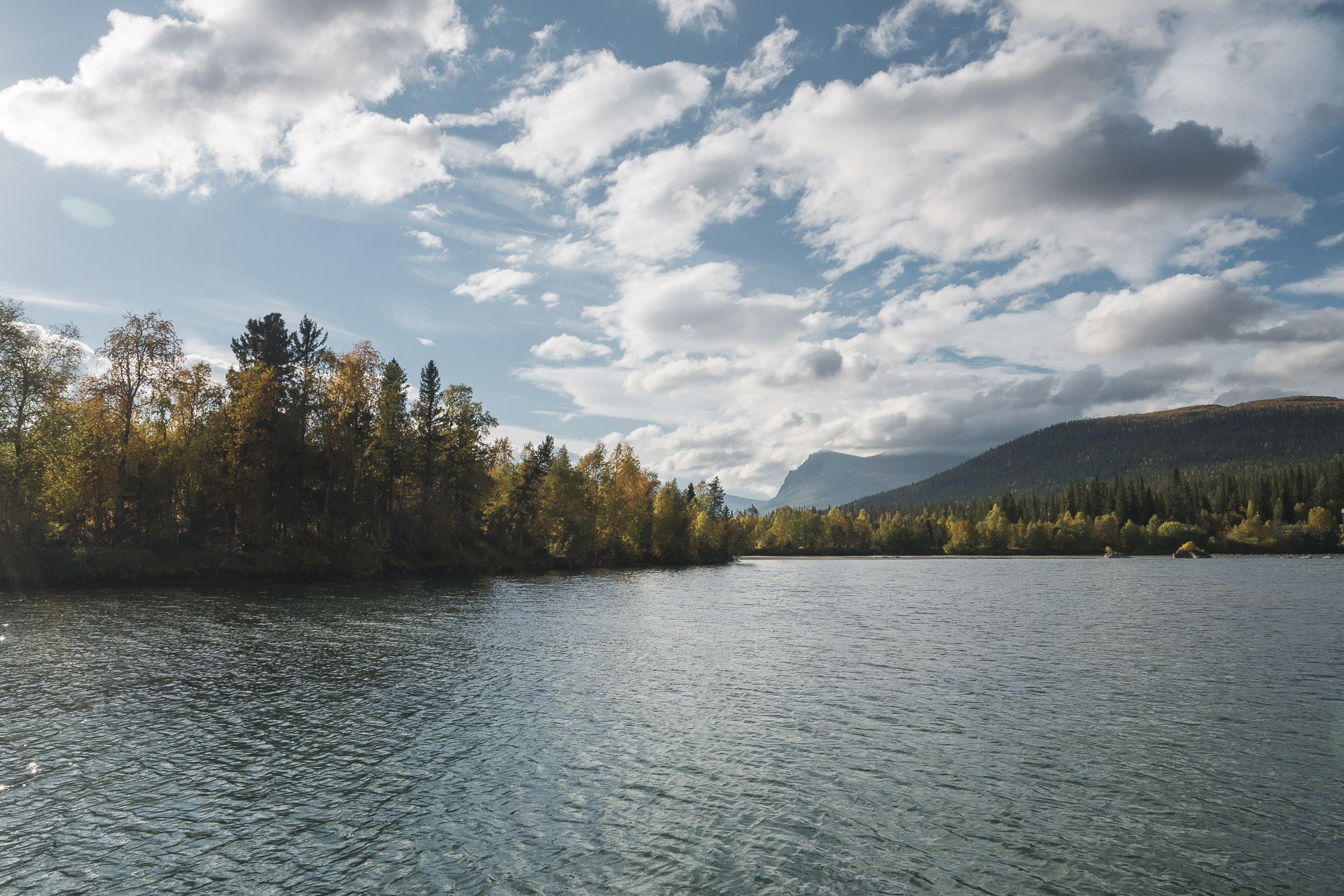
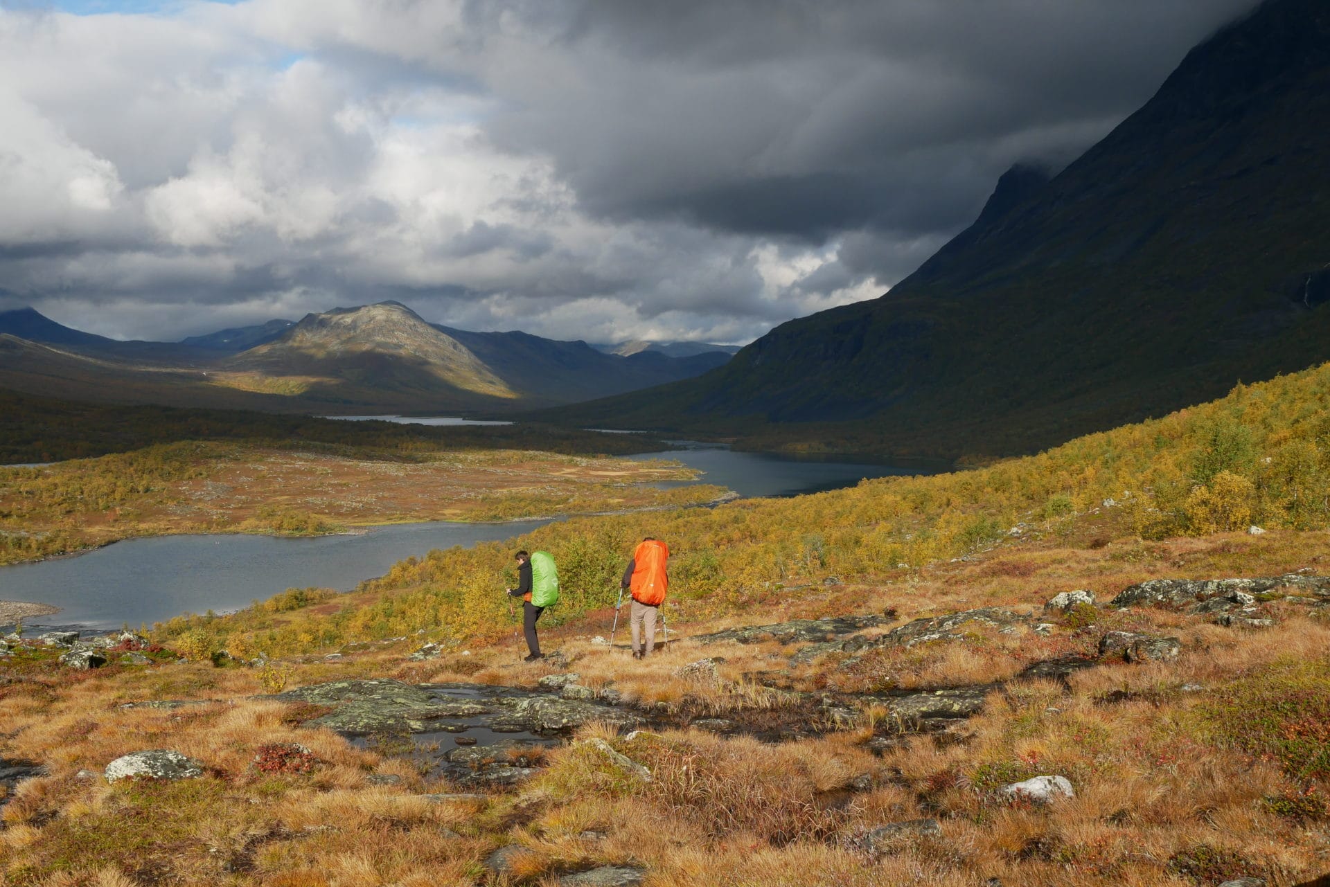
The huge Mýrdalsjökull glacier is visible in the distance. This mass of ice is already impressive but it is nothing next to the Vatnajökull …
The trail quickly leads to the first ford of the day. We approach the obstacle with much lightness that yesterday saw the sun. The river has a very different physiognomy: unlike that of the previous day, it is wide and relatively shallow. The crossing is nevertheless painful because the water is still as cold …
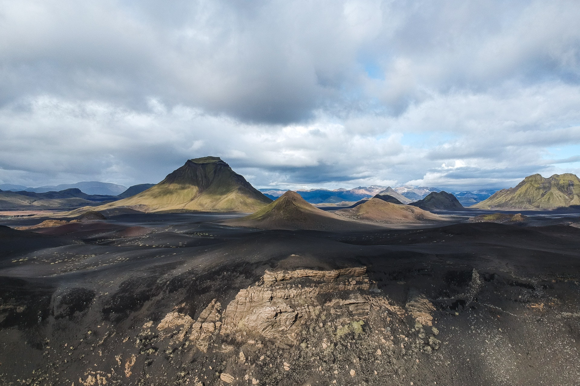
We continue our journey in a landscape which opens more and more. The soil is becoming increasingly black with ash and slag. The landscapes have another profile, just as beautiful.
We pass by the site of Hvanngil, a small refuge which offers bivouac areas more pleasant than Alftavatn. The path then attacks an immense plain with a lunar landscape: just sand, flat, some plants struggling to survive and lots of space. It is a beautiful place.
Shortly before Hvanngil, a second ford awaits us. It is particularly wide but does not pose any major difficulty for us. We are getting used to it.
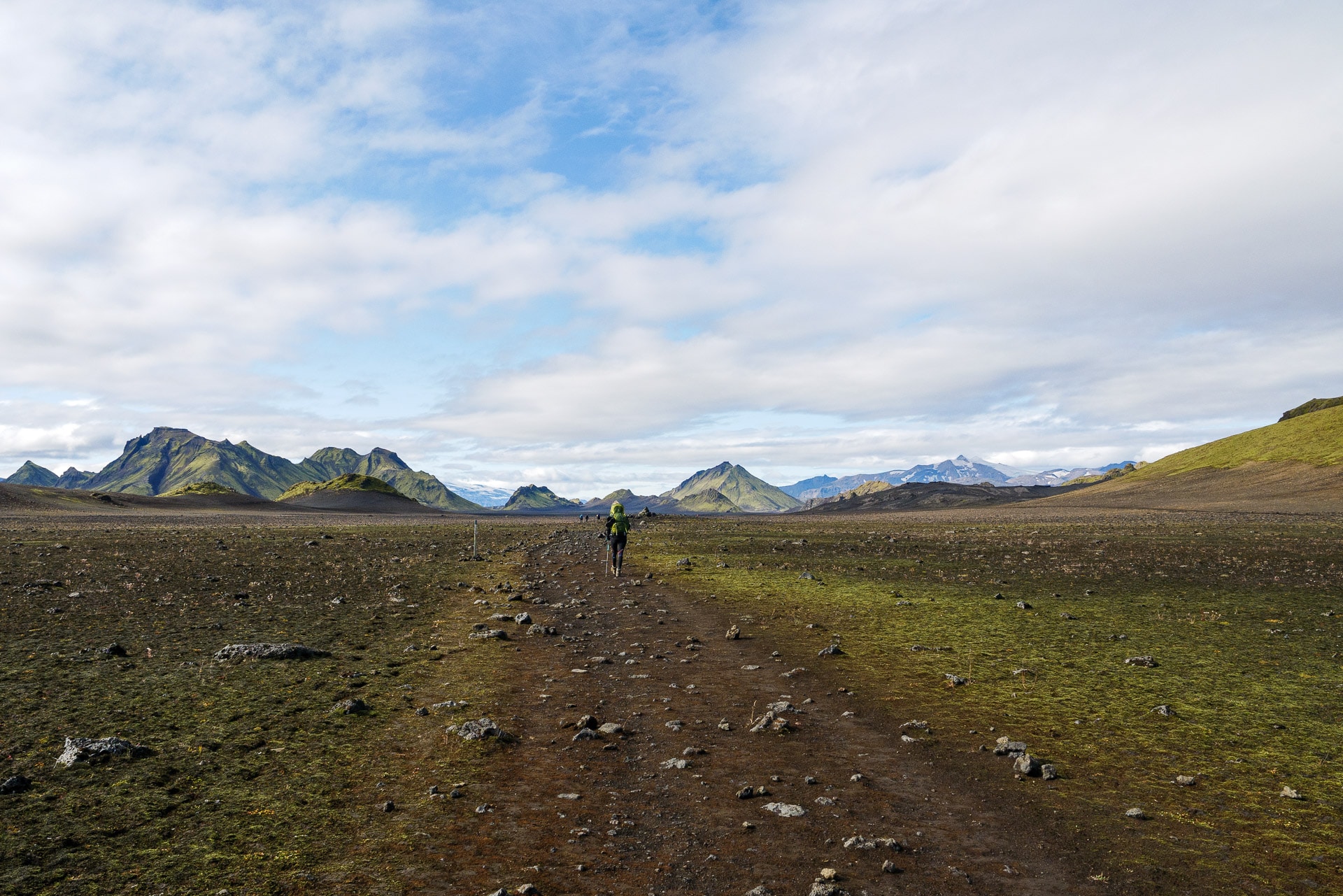
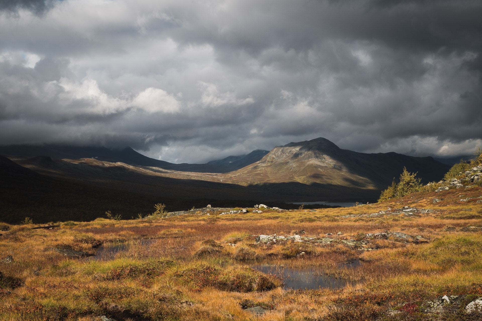
Although this portion of the Laugavegur is beautiful, it becomes monotonous at the end because it is really long … The exit from the plain is by a sort of “door” marked by rocky hills to the west. The path retains the same appearance but offers very beautiful views of the Eyjafjallajökull.
The path is no longer very long until Emstrur but the landscapes are still as beautiful. There are only shades of black and ocher, punctuated with green touches sometimes.
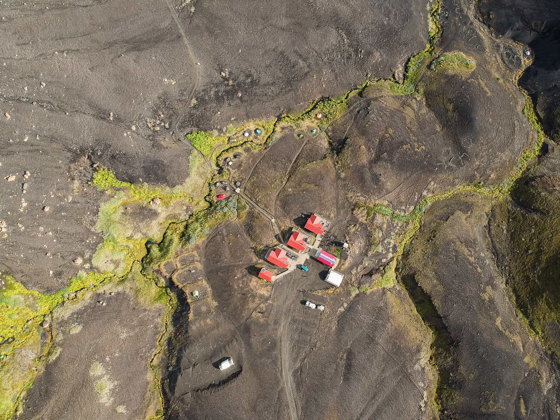
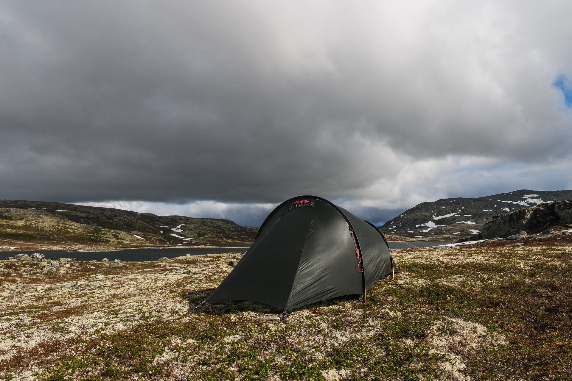
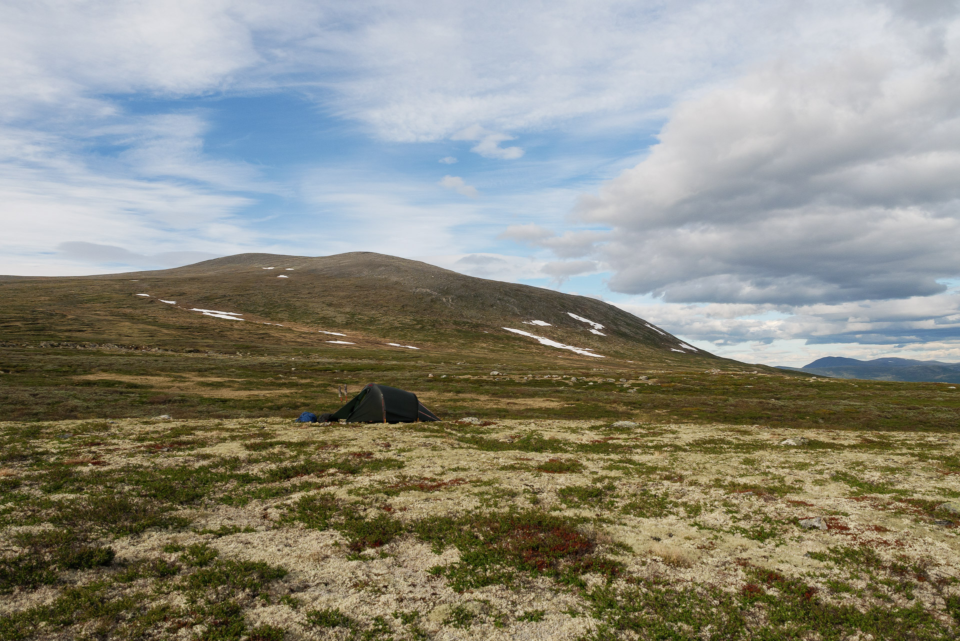
Emstrur is located in the hill and offers a beautiful view of the Mýrdalsjökull. There are some hard dwellings to spend the night but the site also offers bivouac areas which are rather pleasant although dense. As the weather is rather optimistic we will spend the night in a tent.
It is a pleasant site and the weather is nice and even good if you protect yourself from the wind.
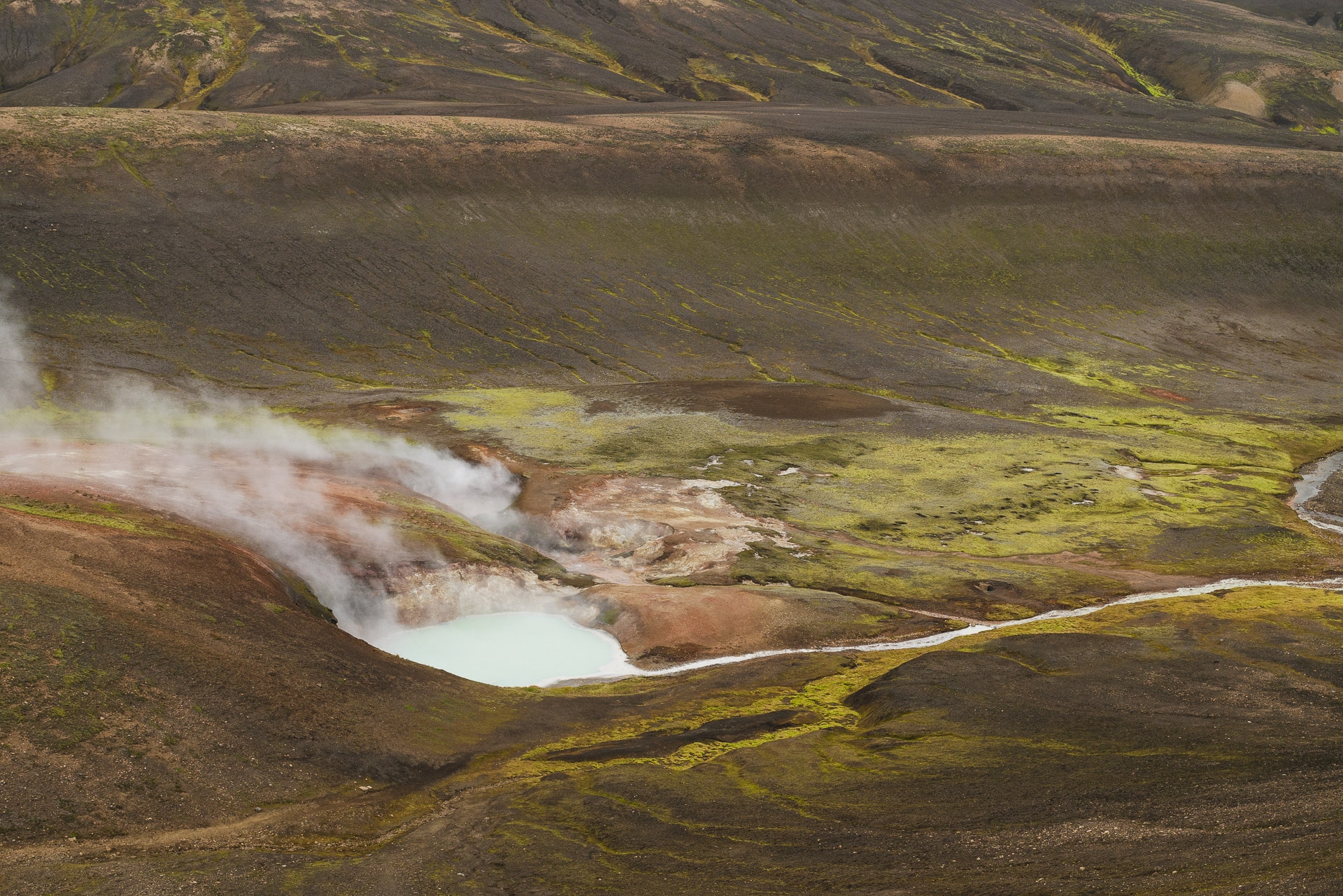
I will take advantage of the end of the afternoon to fly the drone in order to take some aerial photos.
This day will have been superb as much by the landscapes as by the weather. We will still have a few drops in the evening but nothing bad. We are already attacking the last day tomorrow …
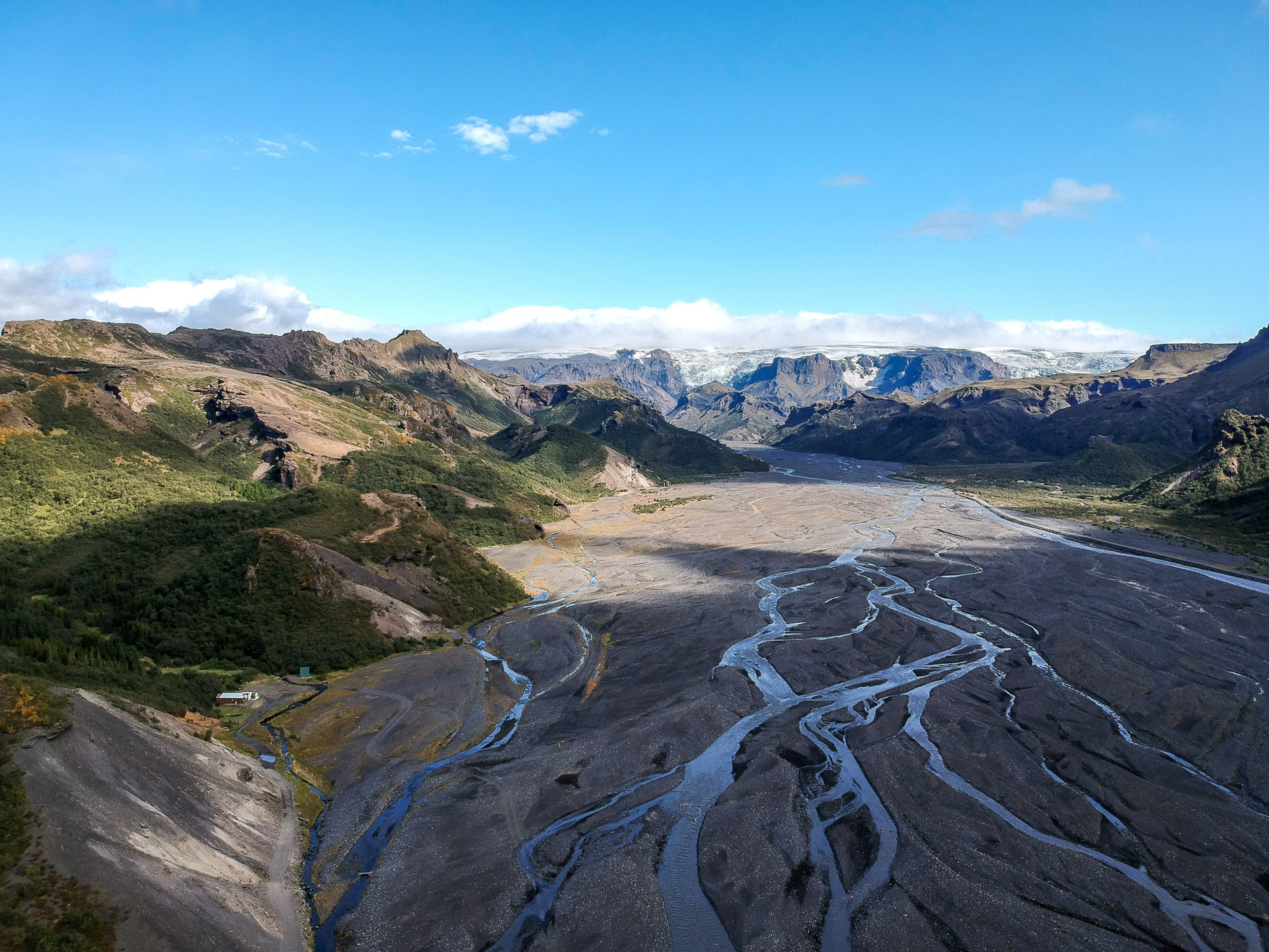
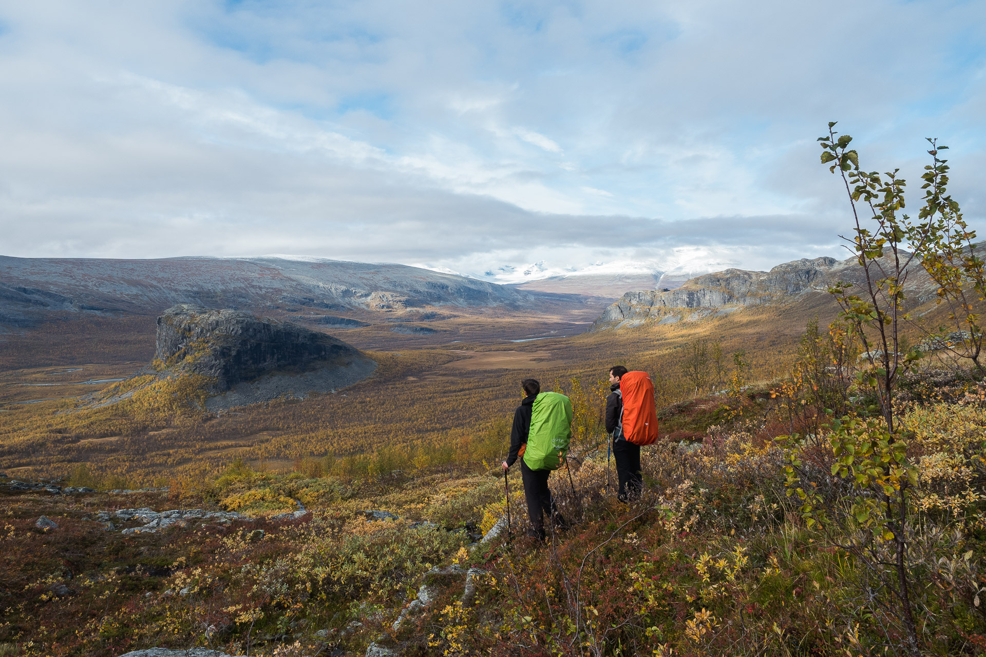
Day 4 - From Emstrur to Þórsmörk
Just 15 more kilometers and we will have reached our goal : Þórsmörk. We will start the day by reading the safety instructions in the event of a blowout as we enter the Katla area.
The Laugavegur, meanwhile, looks like what we could walk yesterday, that is to say a soil composed of dark sand and slag. We will first pass through a sort of valley carved out by the melting water of the glacier. This then takes us to the heights, which allows us to enjoy the view.
The terrain presents no difficulty. Just let yourself be carried away while admiring the landscapes. The Laugavegur will then gradually descend to the huge area where many glacial rivers meet. The landscape opens towards the west as you go, which allows you to guess the sea in the distance.
Without being ugly, it is not the most interesting portion of Laugavegur. Note however the gradual reappearance of trees.
The path then crosses a river thanks to a bridge over an impressive gorge before climbing on the top of the hill. From there we descend to join the 4th and last ford of the trek.
It is particularly wide and deep to the knees. It is done in 2 steps which allows to recover a little in the middle. Caution is advised as there is quite a bit of flow.
We are almost there ! The end of the path is really of little interest because it follows a kind of big track. Remarkable fact: we live in a forest which is particularly rare in Iceland!
Tonight we will sleep in Langidalur. I do not recommend Husadalur because the view is less pleasant. We will arrive at our destination in the early afternoon. It is a pretty, well-kept site, and above all it offers a marvelous view of Þórsmörk and the surrounding glaciers.
Here we are, the trek is finished. The afternoon will pass under a bright sun which will do us a lot of good. Everything will be enhanced by a small bottle of wine bought at a high price to celebrate!
There are beautiful hikes to do from Langidalur, including the ascent of Tindjöll.
We take the bus tomorrow towards Reykjavi and then continue our trip to Iceland.
Conclusions
Although it is a particularly well-known and popular trek, the Laugavegur nevertheless deserves the superlatives that we know; as much for its landscapes which are marvelous and changing from one day to another but also for its weather which will put your resistance to the test. This last point should not be overlooked. Even if some people have 4 days of good weather others can have 4 ugly days! Later during our stay, the Laugavegur was even closed due to the too difficult weather, that is to say!
If you hesitate for your next trip: go ahead, the Laugavegur will mark you and create lasting memories.
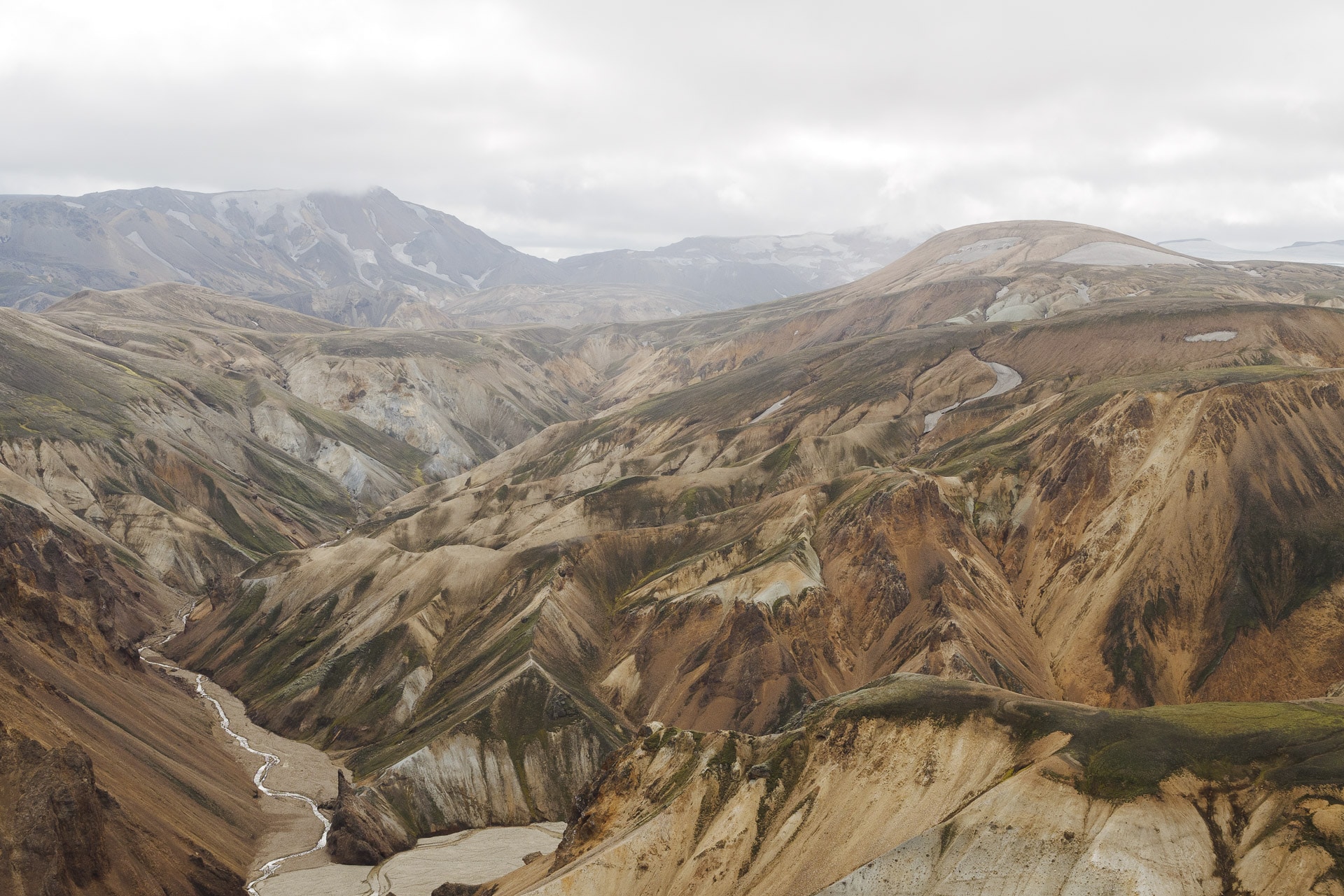
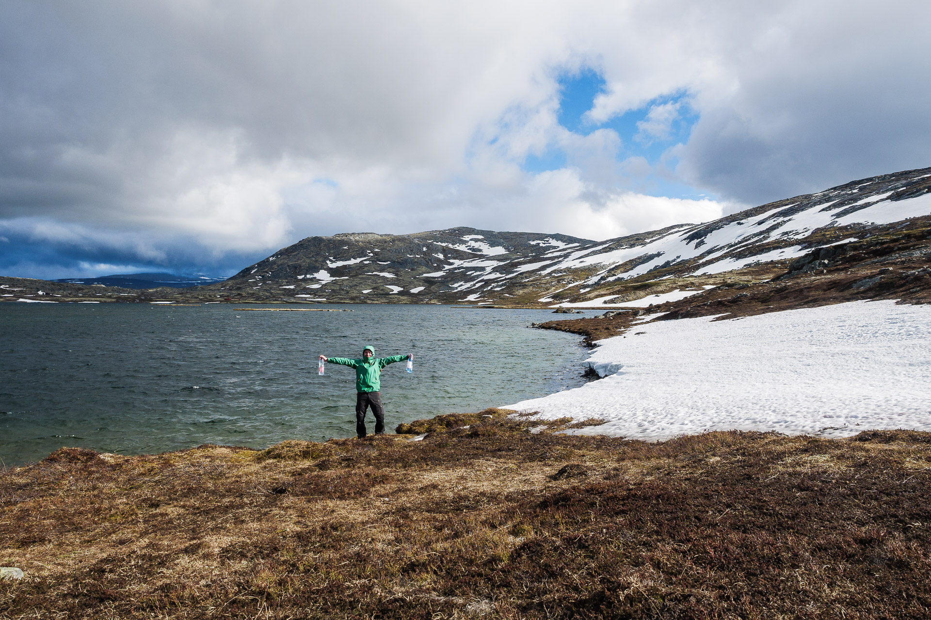
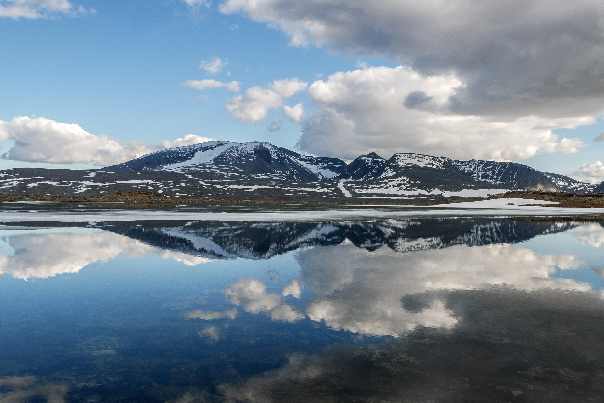
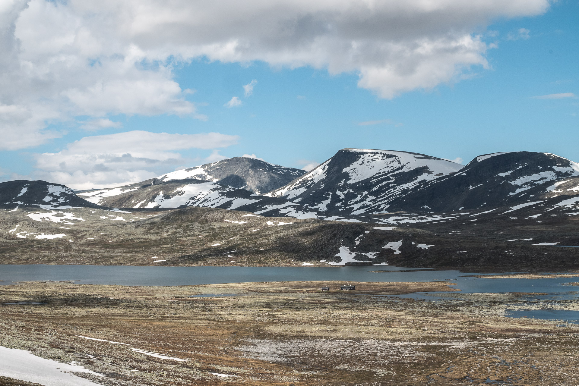
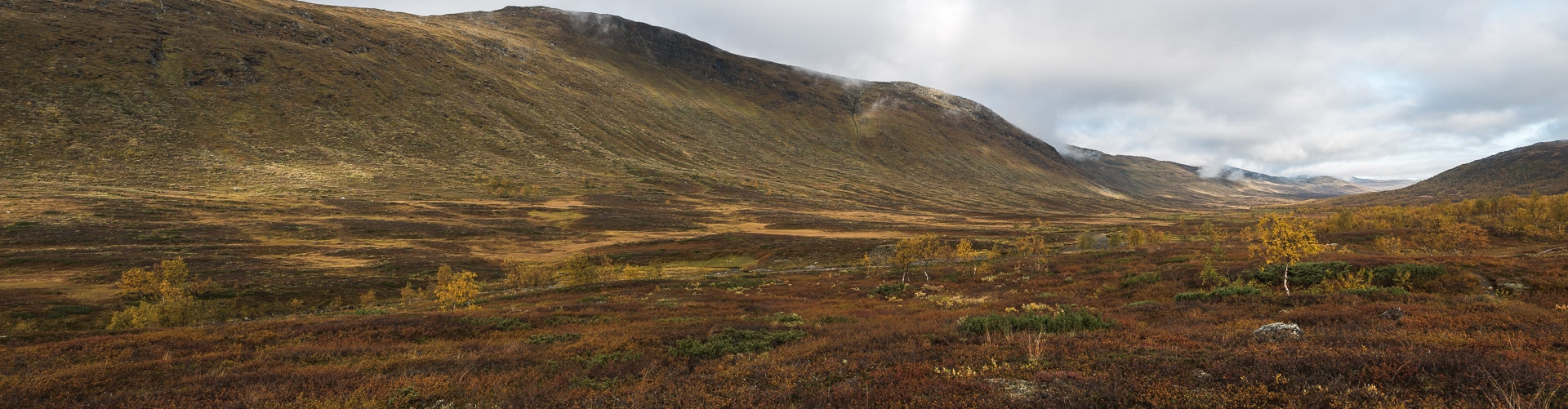
Landmannalaugar - Icelandic Highlands
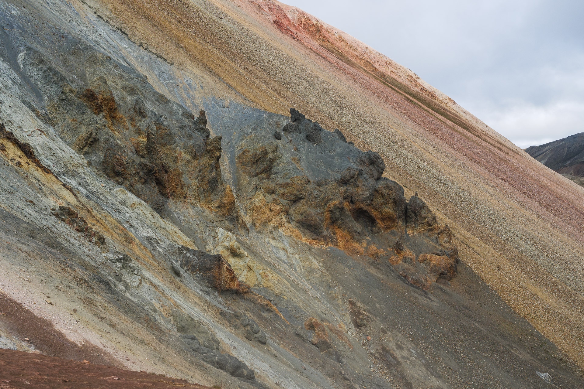
The Landmannalaugar is a massif located in the Icelandic highlands. The site is particularly known and renowned for its colors which are due to the volcanism very present in the region but also for its natural hot springs. Departure or arrival of the famous Laugavegur, the Landmannalaugar deserves to stop there to explore and discover it.
Landmannalaugar
Geology
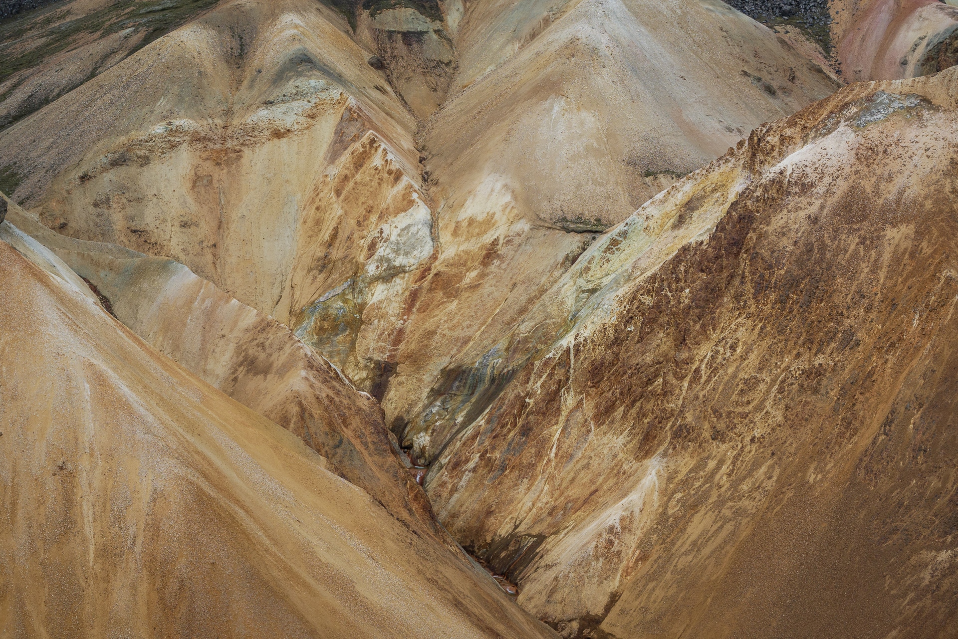
The extraordinary colors of Landmannalaugar are due to the iron contained in the rhyolite, the main rock of the site. Indeed, the lava formed under an ice cap which allowed an interaction between the rock and the melt water. We are talking about rhyolithic tuff here.
You will also come across a lot of obsidian, volcanic glass. This rock is beautiful when wet.
Join the Landmannalaugar
The landmannalaugar is accessible by a good post on which you will still have to cross at least two fords. Access is therefore reserved for the 4×4. To access the site follow the F225 then 224 from Route 26.
The site is also accessible by several bus services. We opted for Reykjavík Excursion because the buses leave from the center of the capital and offer timetables that suit us. If you want more information: https://www.re.is/golden-circle-tours/
This trip is the first we did on an F-road and is really beautiful. Try to take a seat at the front by bus if you want to enjoy the view.
What to do at Landmannalaugar?
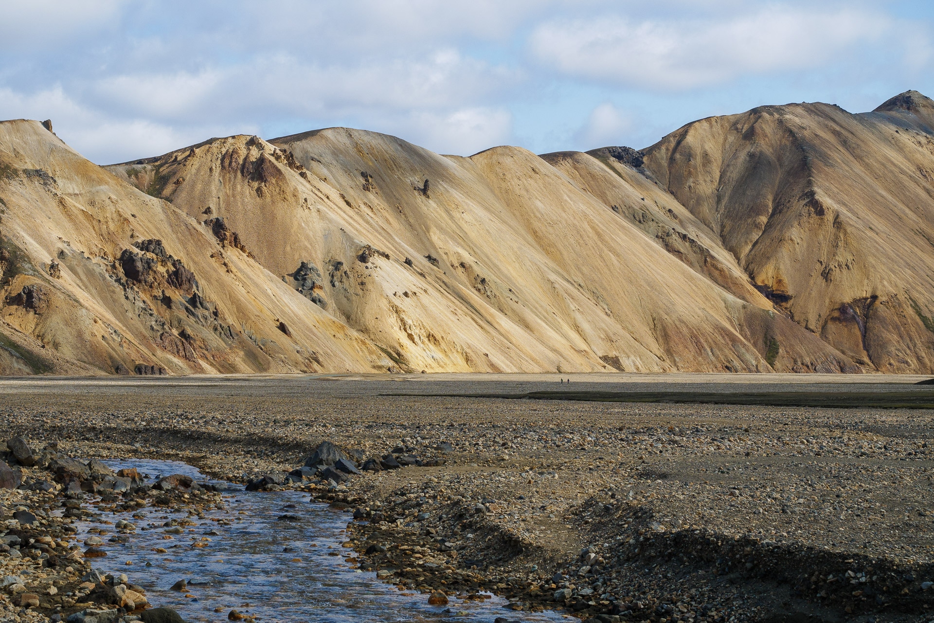
The Landmannalaugar is one of the extremities of the famous Laugavegur that we had the chance to visit. But you can also radiate for the day from the camp for beautiful day hikes as we present below.
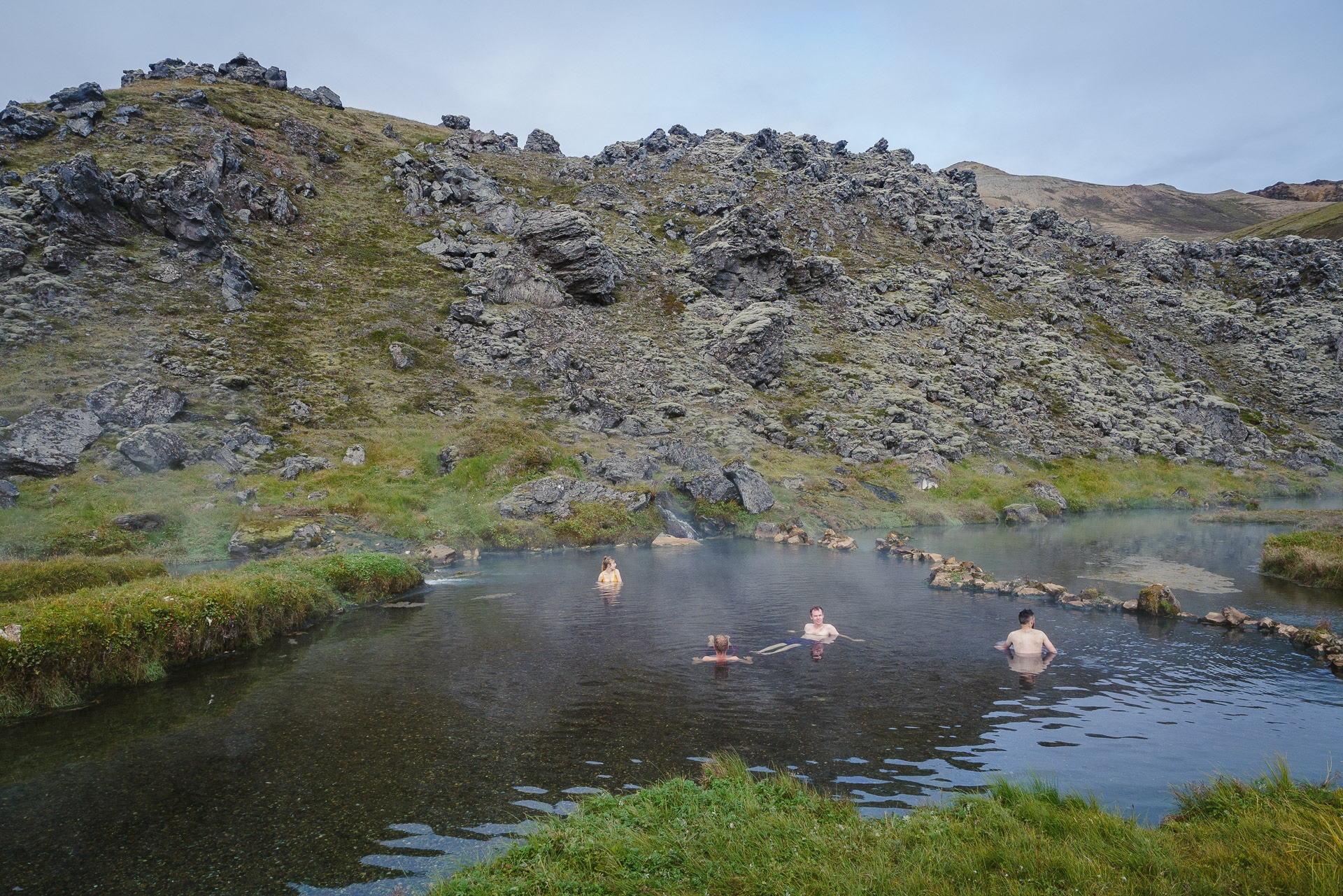
The Landmannalaugar is also known for its hot springs. It is a mandatory stop if you come here. The source a little behind the tumult of the parking lot is superb. The temperature should be around 40 ° C but is flexible because cold and hot currents meet in the main pool, allowing you to find the location that suits you best. The bottom is in fine gravel which makes the water very clear. A structure allows you to store your belongings while swimming. The only downside and not the least: the world! In the afternoon when the buses arrived, it’s crazy! We therefore advise you to go there in the evening or even better in the morning! We were lucky to be only three in the basin on our way around 9am. Real happiness especially after a cool night.
Practical information
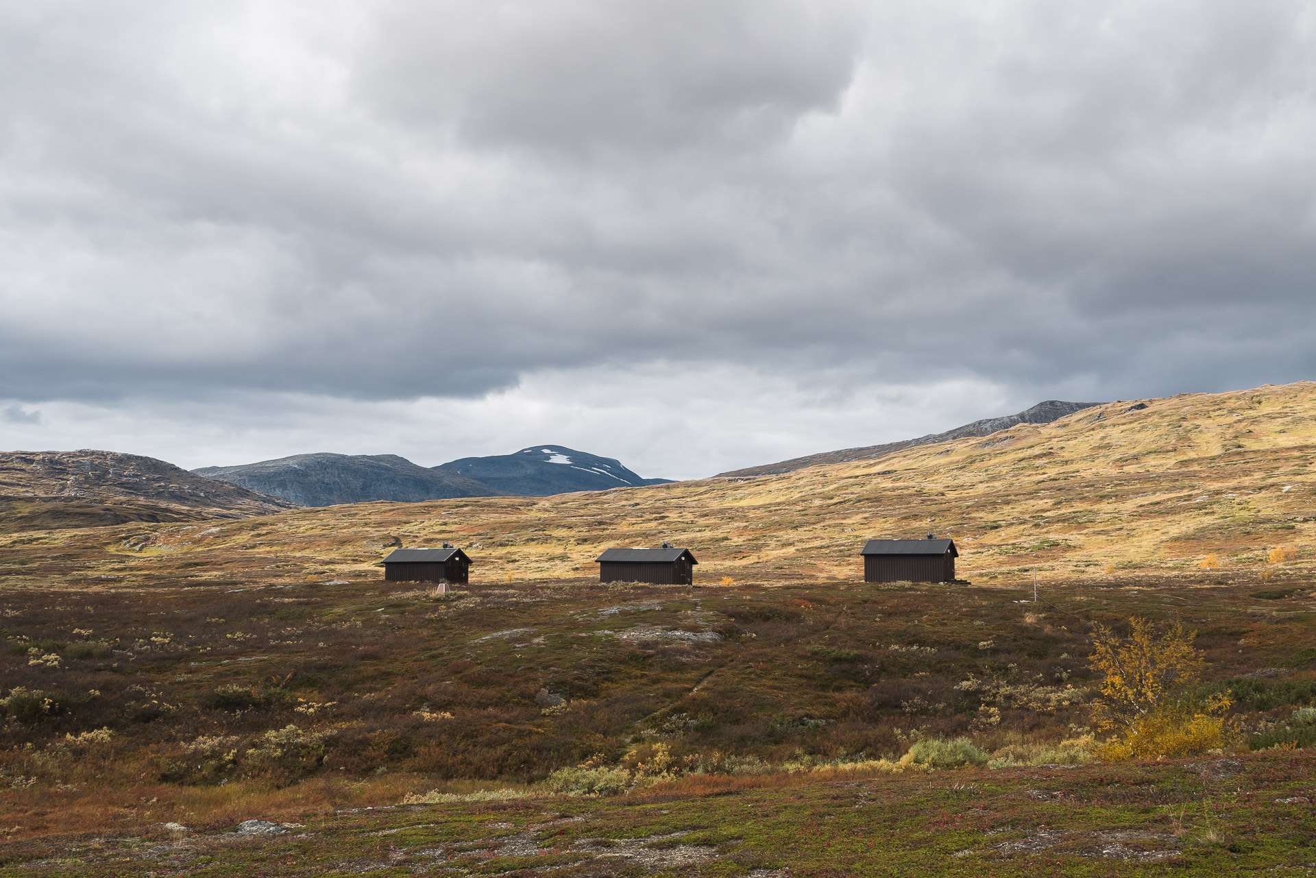
Or sleep ? Many solutions :
- The refuge of “FI”, the Icelandic hiking association. The night is at 9000ISK. I advise you to book well in advance given the crowds … More info: https://www.fi.is/en/mountain-huts/all-mountain-huts/view/landmannalaugar
- In a tent: there is a large bivouac area. Do not imagine the beautiful wild and comfortable bivouac: the ground is rocky and the land is located too close to the parking lot. We also found the site noisy even in the middle of the night … It will cost you ISIS 1000 per night per person …
Food
On site you can buy some basic products such as freeze-dried or gas. All at a price of gold, of course, but it remains practical just in case.
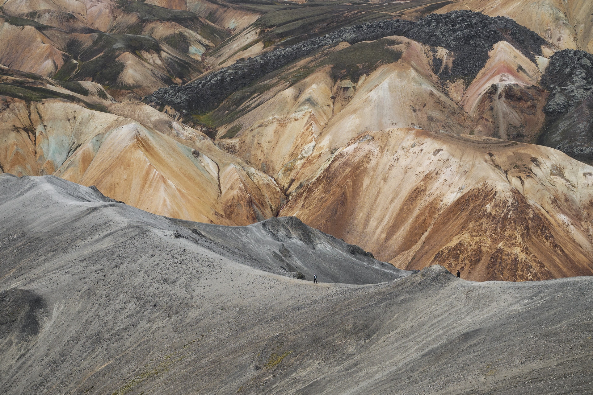
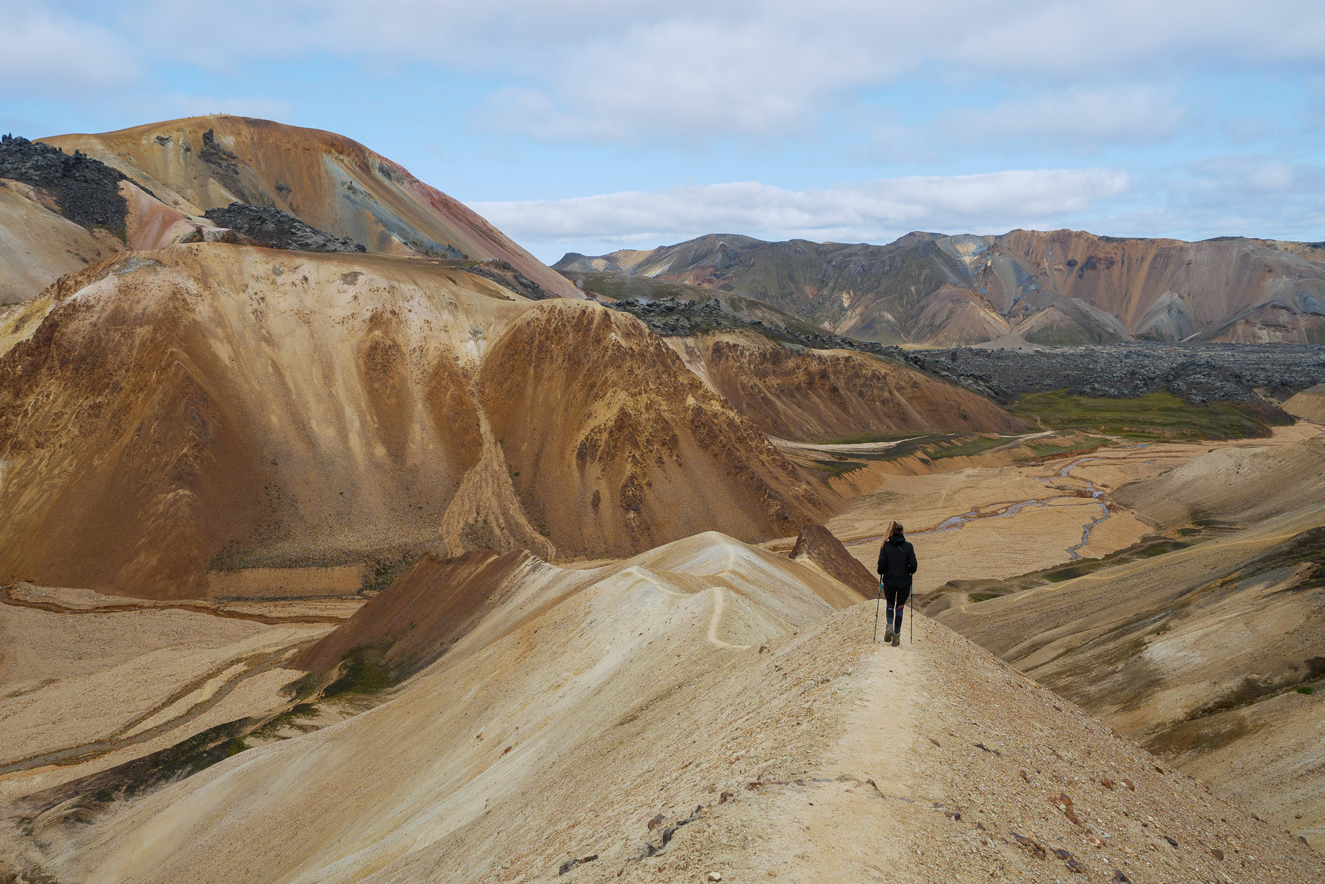
Discover the Landmannalaugar - Ascent of Bláhnúkur (945m)
The Landmannalaugar offers many hiking possibilities. We offer here an itinerary accessible to the greatest number which allows you to discover the richness of the site over a short half-day, enough to give you time to enjoy the hot springs afterwards. This takes you to the top of Bláhnúkur at 945m which allows you to admire the surrounding landscape. You will then discover the richness of the colors and structures of the Landmannalaugar before going to a fumarole area. The return is through a petrified lava field. This will give you a complete overview of what the Landmannalaugar can offer you.
ID card :
Distance: 6.5km
Duration: about 3h15min
Positive elevation: 350m
The route is accessible below:
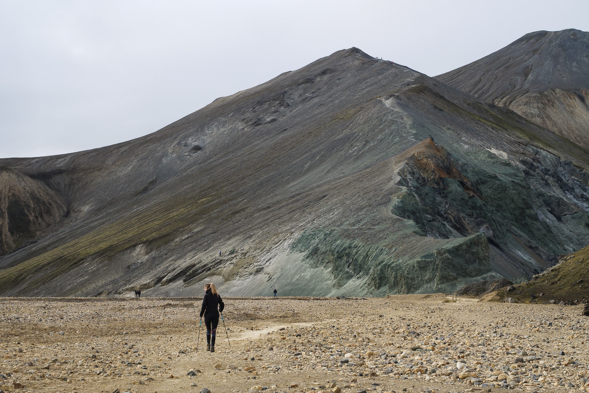
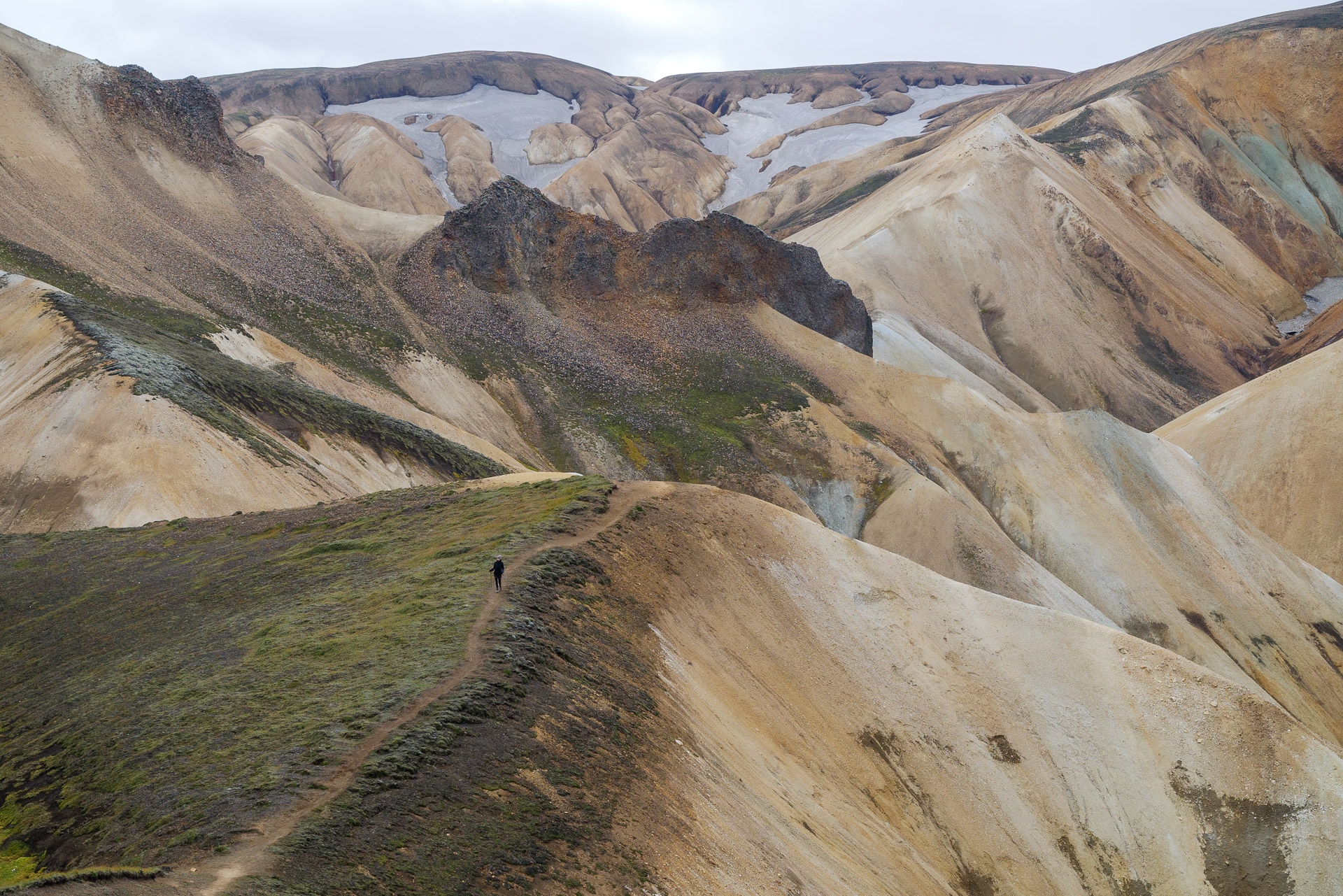
The start of the hike is at the end of the parking lot to the south. In front of you, after a small portion in an old river bed, stands a mountain in greenish rock (the rhyolite) on which you can clearly see a path going up in a zigzag. Continue slightly to the left (100m) to find the start of the path which joins the ridge on the right.
We can see it in the photo below:
You “just” have to follow the path to the summit. Just be careful with the ground which is not always very stable (sand and slag) and which must be slippery if it rains. The climb is quite steep but take your time it is done quickly. The climb offers more and more beautiful views, enough to keep you motivated!
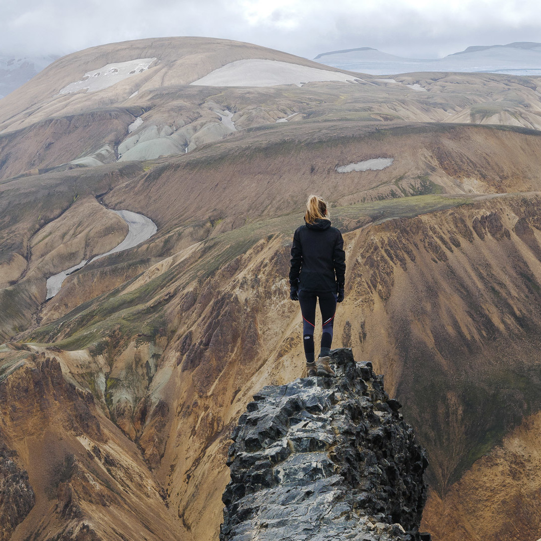
Here you are at the top! The view is breathtaking! When we did it was gray but it does not spoil the colors which remain fantastic.
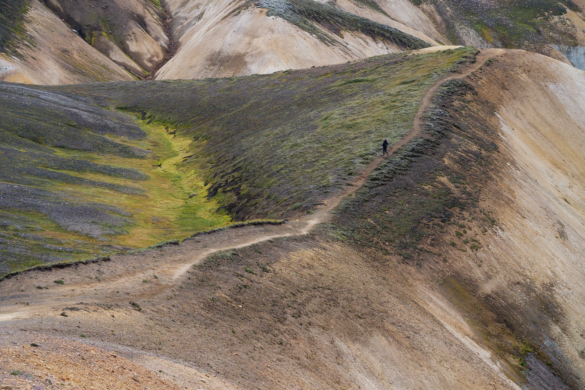
You can then start the descent following the ridge direction SW.
You will come to a flatter part, here turn right (northbound) in a kind of gorge. The trail is beautiful here as well as the surrounding colors!
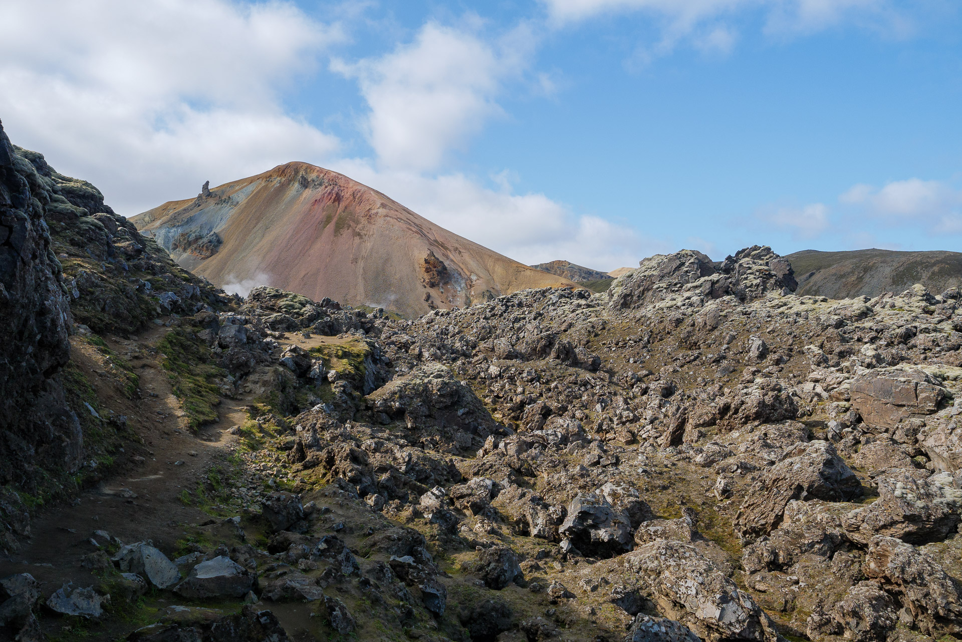
Follow the path (be careful, some portions can be slippery). Then join the marked path towards the fumaroles slightly on the heights. From there several solutions: you can descend by Laugavegur, you can also follow the ascent of Brennisteinsalda (881m) or, like us, turn around and continue in the lava fields.
The trail continues along the small Brennisteinsöldukvisl river before returning to the starting level.
You just have to go back to camp before going to relax in the hot springs! We took 3h20min to complete this journey without hurrying and taking a lot of pictures.
There is another route, the “Skalli”, which is 15km long and makes a long loop from the south. This path also offers extraordinary views of rocks with superb hues. Attention the topo indicates that it is a painful path in case of bad weather. To make it go south and follow the chubby hats wearing blue.
Dovrefjell – Sunndalsfjella National Park
9days
trekking
100km
walked
3600m
D+
3.5
days absolutely alone
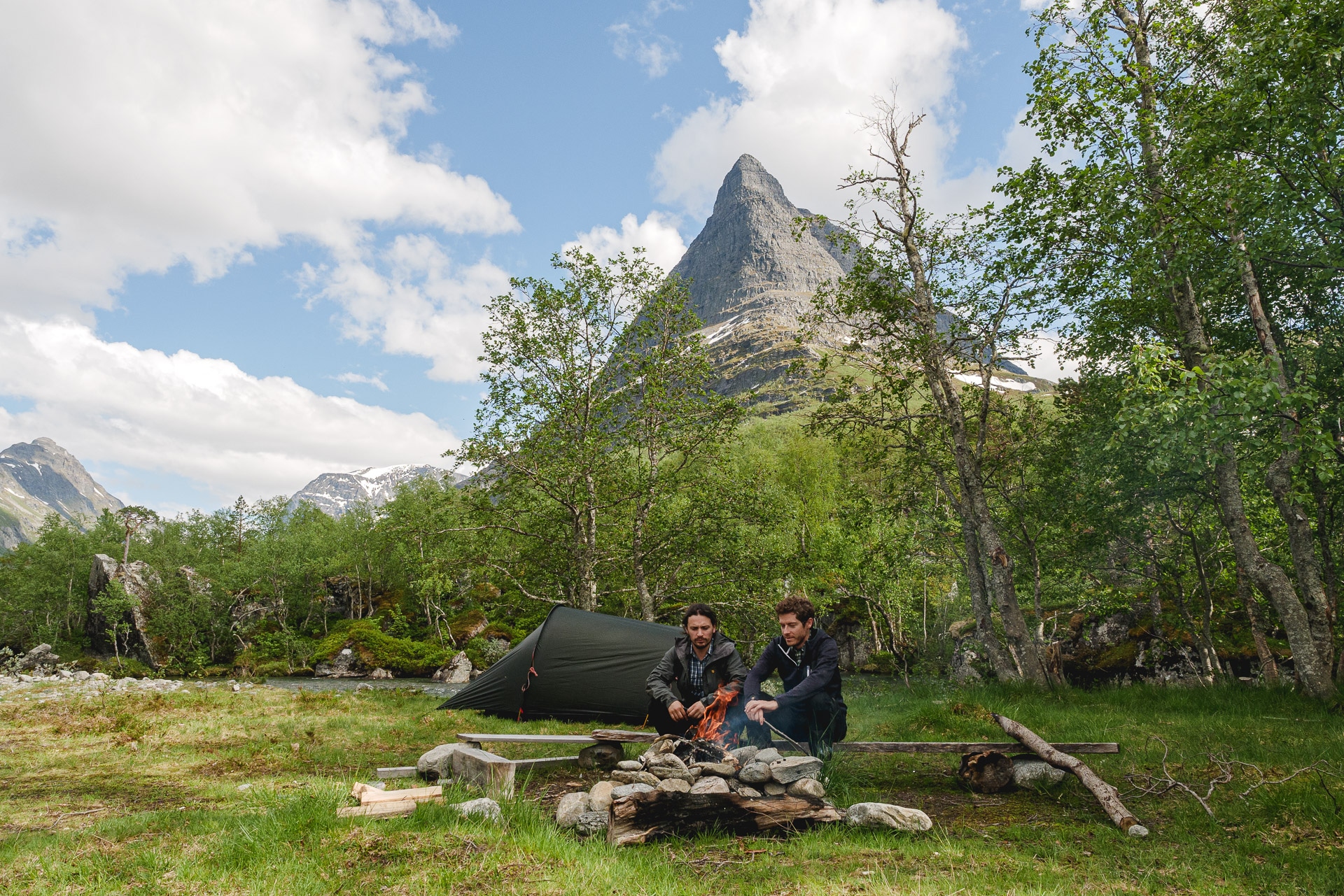
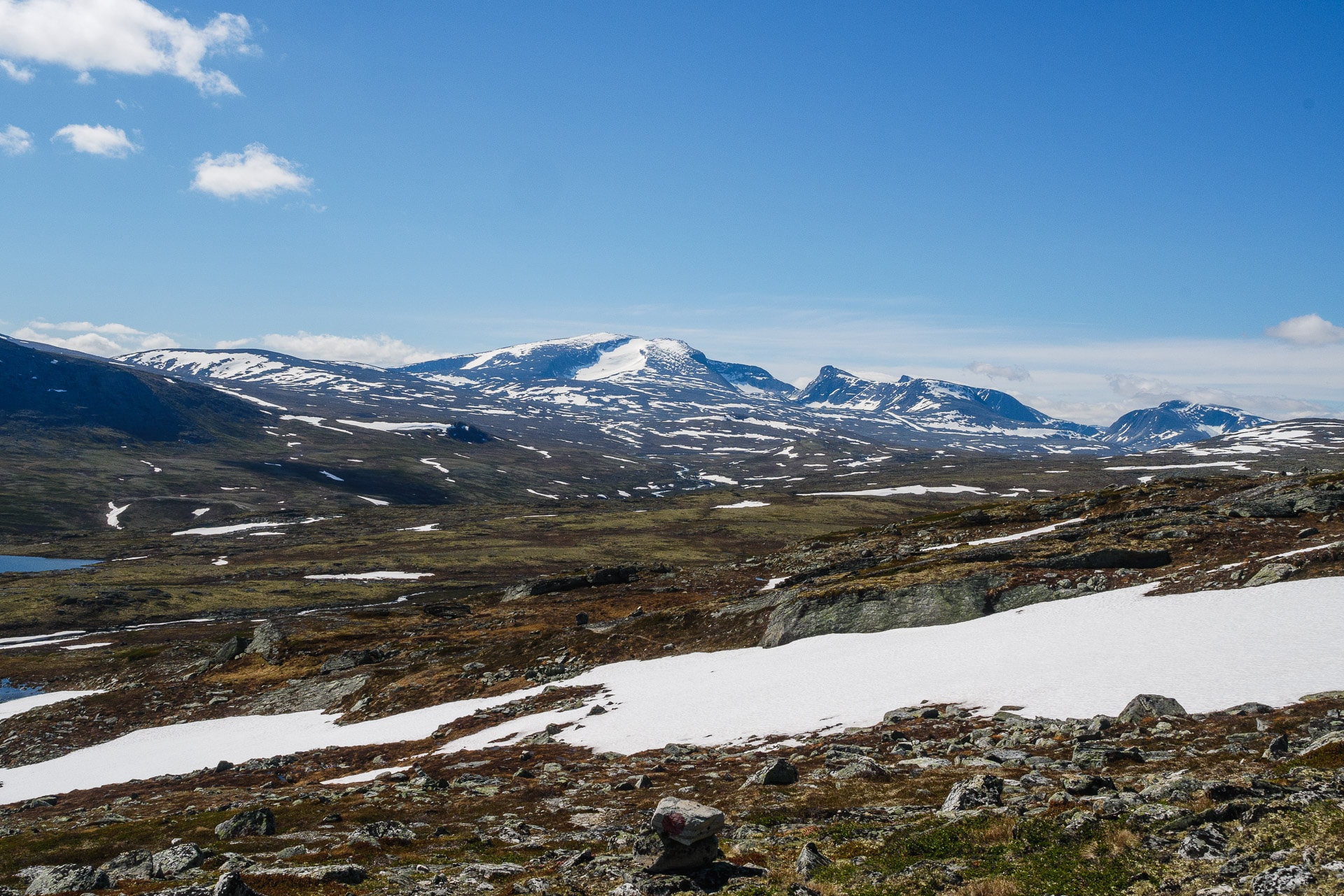
Norway is full of sublime national parks and choosing one is not necessarily easy as it all deserves to be discovered. After some time of reflection, our focus fell on the Dovrefjell-Sunndalsfjella national park by combining with Innerdalen, one of the most beautiful valleys in Norway. We invite you to follow us during the 9 days of this spring trek, far from the world and in magnificent landscapes.
Dovrefjell-Sunndalsfjella, Innerdalen and route
Le Parc National du Dovrefjell-Sunndalsfjella
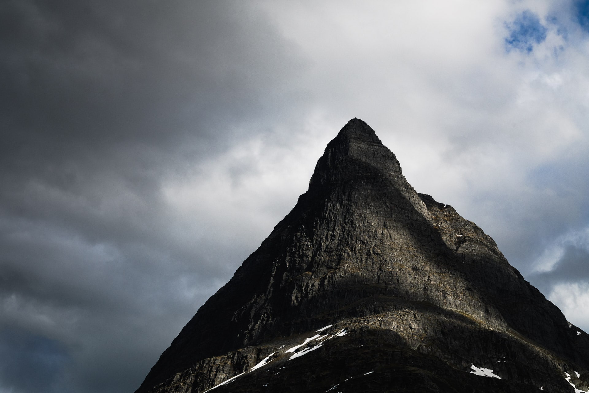
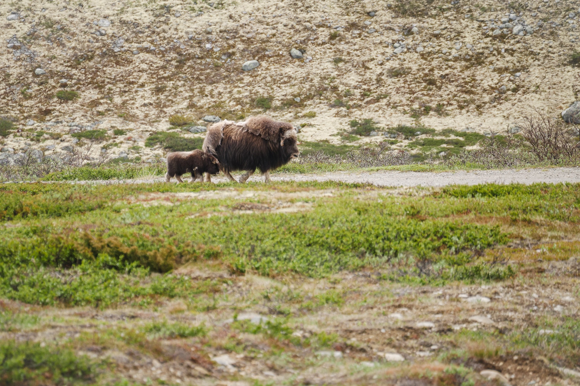
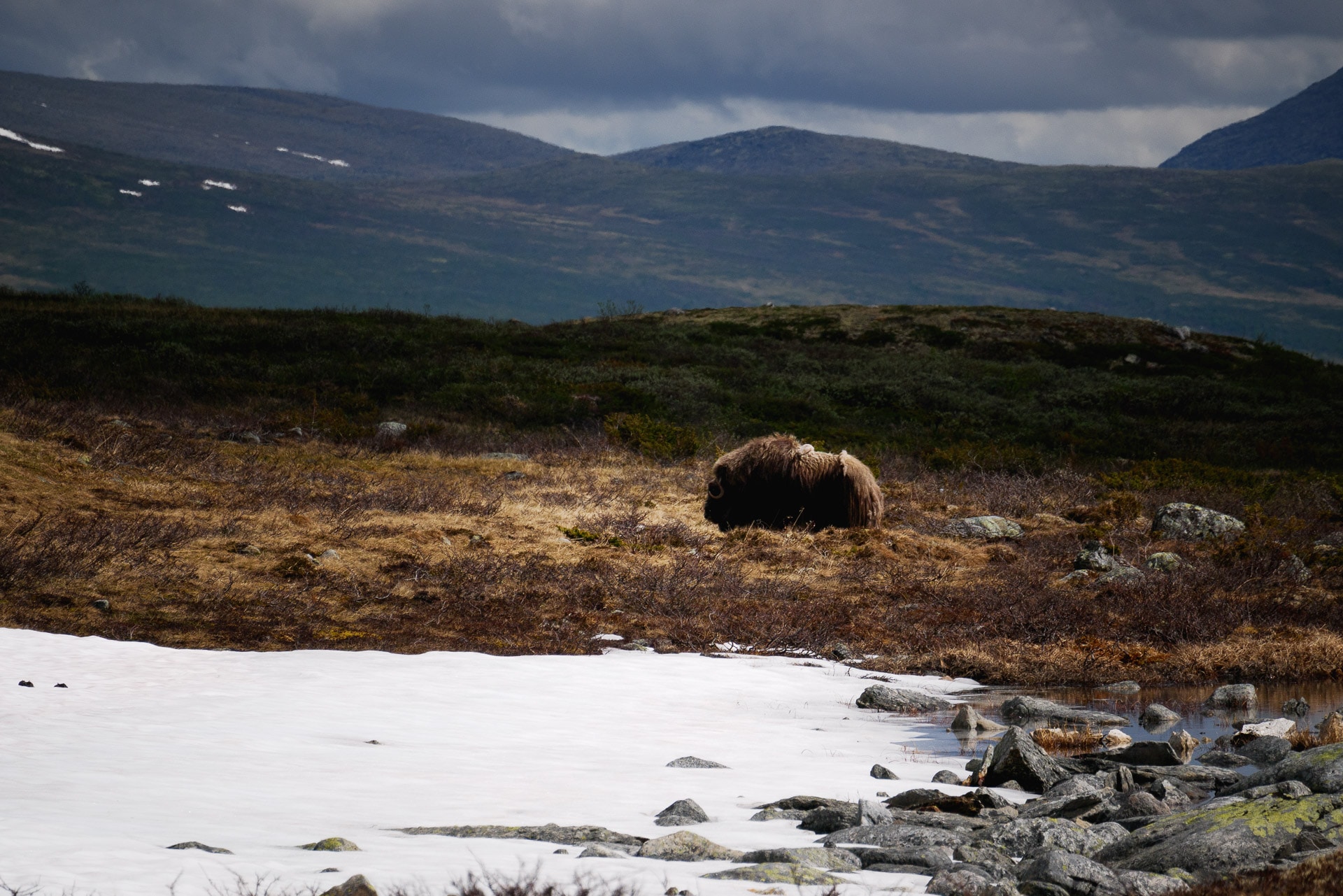
Located south of Trondheim and east of Ålesund, the Dovrefjell-Sunndalsfjella National Park covers an area of 1693km². The park is especially renowned for the unique presence in continental Europe of muskoxen, relics of mammals from prehistoric times. The park revolves around Snøhetta, a beautiful mountain 2286m high.
Muskoxen are large mammals of the goat family, contrary to what their name indicates. Relic of the ice age, we find them today in Canada, Greenland, a little bit in Siberia and for a few dozen heads in the park of Dovrefjell. The latter were reintroduced after extinction due to hunting.
With a weight of up to 300kg, muskoxen are large mammals that don’t hesitate to charge if they feel threatened. Running the 100m in 6s you will have little chance of escaping. Some caution is therefore necessary, especially in the presence of young. Local guides recommend keeping a distance of 300m.
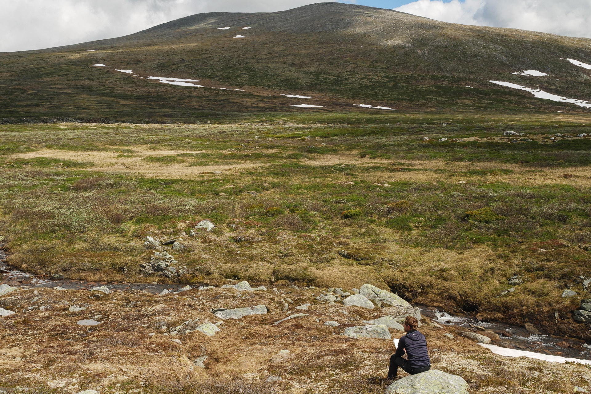
The park is mainly made up of tundra: short grass, moss and lichen. Trees disappear very quickly with altitude.
Getting There :
The park is easily accessible by public transport. The Oslo-Trondheim train line bypasses the entire southern and eastern part of the Dovrefjell. You will therefore have various choices:
- Dombås: small town to the south
- Hjerkinn: mountain resort with a youth hostel
- Oppdal: the local town with all the services you need. A good base to shine.
The northern part is accessible by bus via line 901 from Oppdal and in the direction of Kristiansund. Information can be found here: Bus 901 timetable
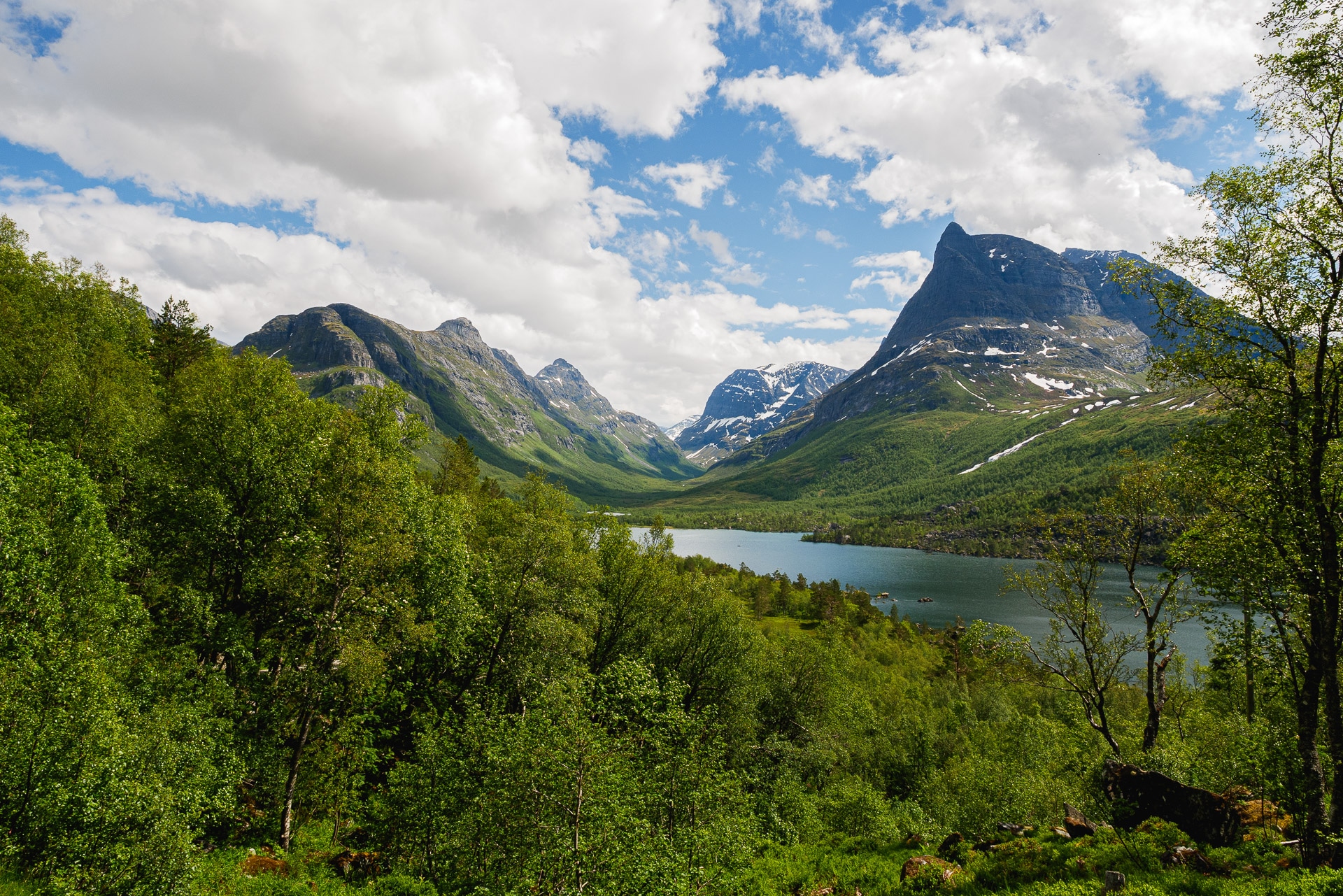
Innerdalen
A little north-west of the Dovrefjell Park is the magnificent Innerdalen Valley. The “Visit Norway” site even names it “the most beautiful valley in Norway”.
The valley is easily accessible and offers accommodation in refuges and a campsite which has been voted “Most beautiful campsite in Europe” by the Guardian! What superlatives for this place.
Getting There :
To get there we took bus 901 from Oppdal and got off at Ålvundeid rv. 70. For the long stretch of road before starting the path, we hitchhiked. There is a little passage we did not wait very long.
Route
We started by joining Oppdal from Oslo Airport by train (fast and not very expensive) then from there we took bus 901 in the direction of Kristiansund. We stopped at Ålvundeid rv. 70 towards Innerdalen. We recovered route 70 from the valley by cutting through the mountains. From there we joined by bus the stop named Lønset after a night detour to Oppdal. We then crossed the Dovrefjell in a global north-south direction to reach Hjerkinn from where we took the train to Oppdal.
You will find the whole of the walked part below (downloadable):
Refuges
The Norwegian shelter system is different from ours. While in France the shelters are often guarded and remain partly open in winter, here many are the shelters without guards and which requires a key to be open summer and winter.
This key is available by joining the Norwegian trekking association, the DNT. You can then borrow or receive a key to access the shelters. PLEASE NOTE: shelters do not generally offer winter shelters!
You will find the necessary information here: https://english.dnt.no/
Day 1 - Innerdalen
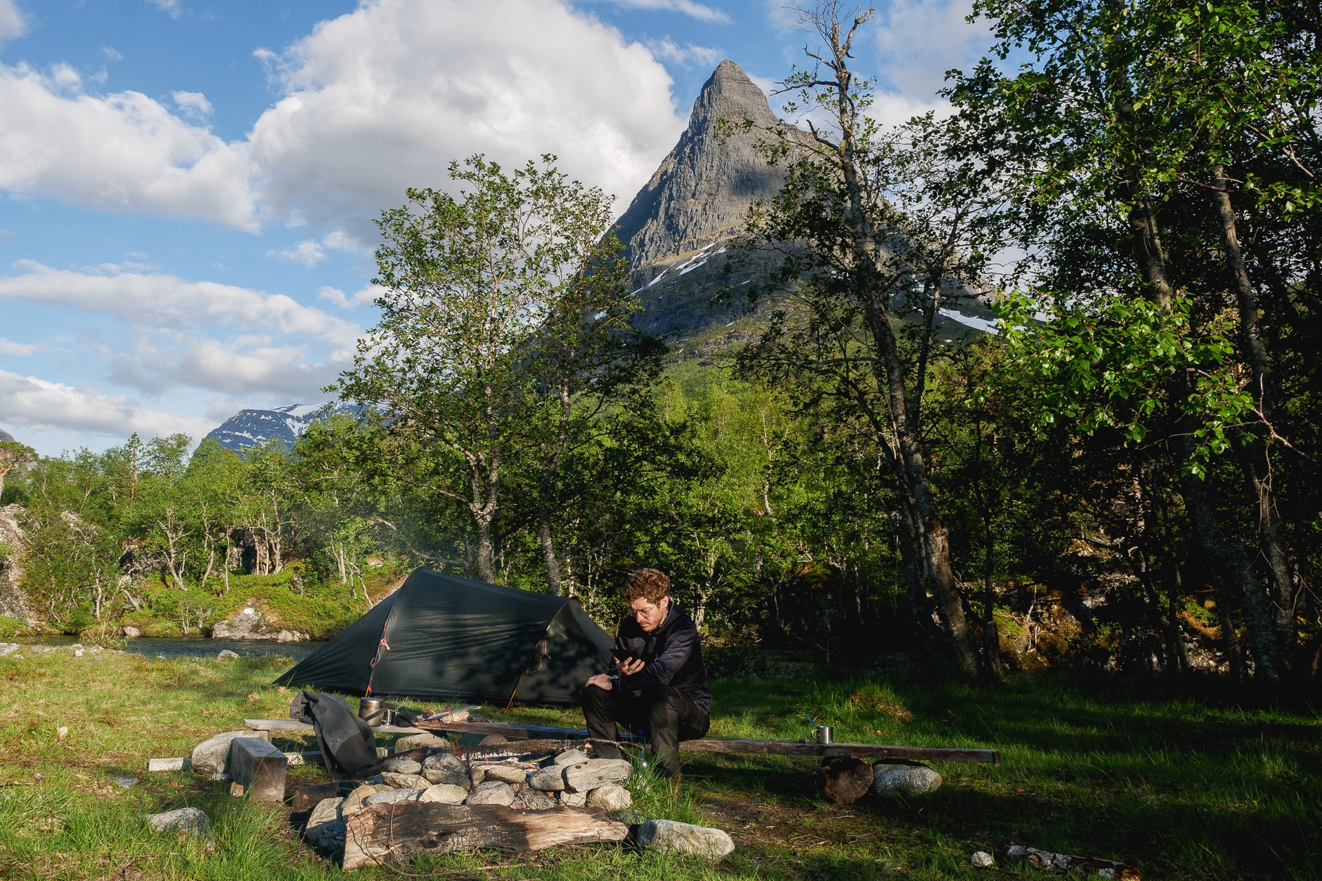
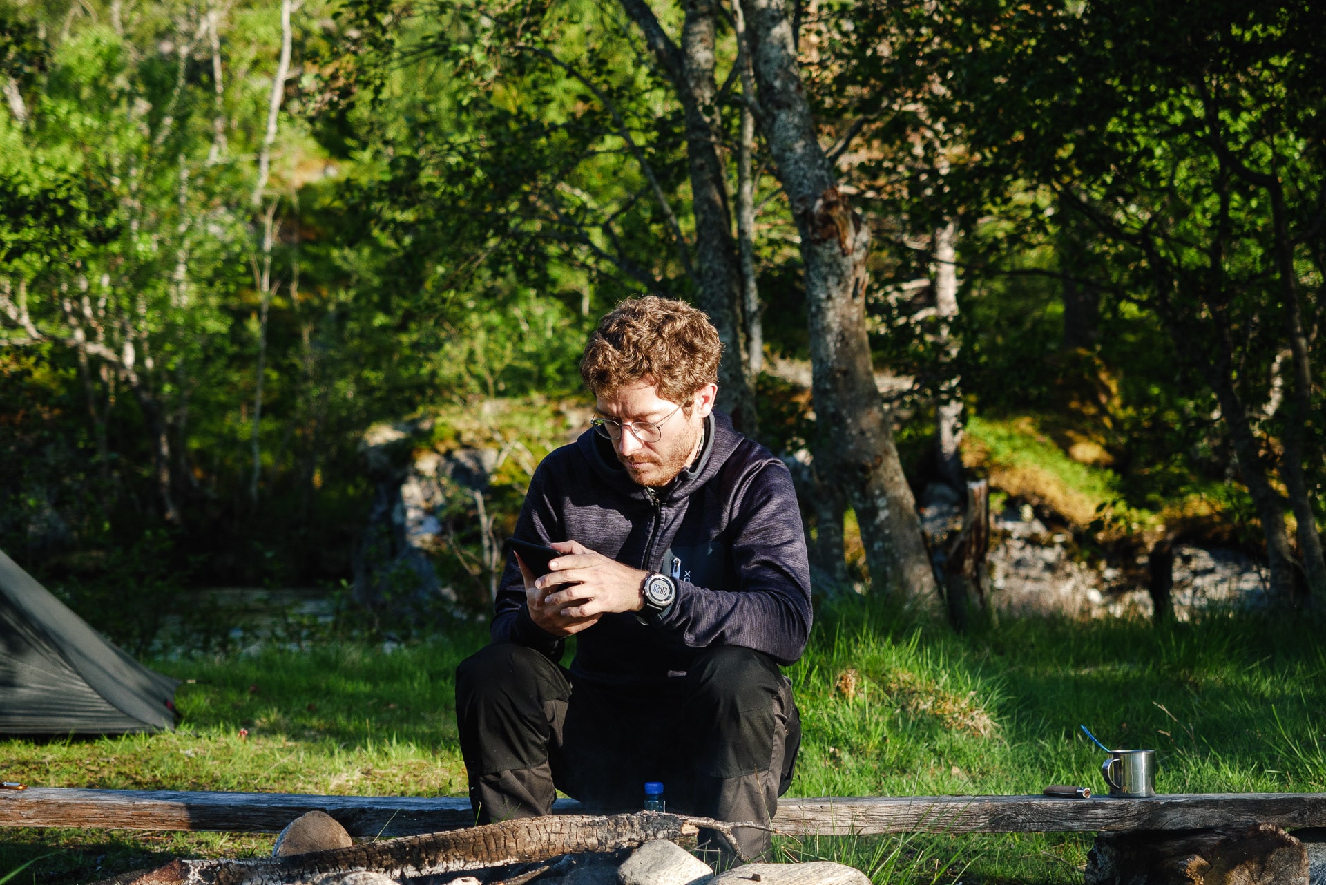
10 a.m. on June 11, 2019, we are on bus 901 in the direction of the fork which will take us to Innerdalen. I am with Arthur with whom I have already done the GR R2 in Reunion. 3 years that we have not seen each other but here we are in the middle of Norway left for 9 days of trekking. We arrived in Oppdal yesterday after a quick trip by plane to Oslo and then by train.
The bus stops at a stop lost on the road. We are going down. We put the bags, we settle everything and we left in the direction of the valley.
This first portion is a 10km asphalt road that hurts your feet … We walk but we try to stop when a car overtakes us. It works after 20-30min. A nice couple of Norwegians who are local and who go up to Innerdalen for the weekend.
At the end of the road, we only have 3km to go. It’s hot today, so we remove a layer and we set off again. The beginning of the path is nice, it looks like what you can find in the forest in the mountains. The surrounding landscapes are beautiful but you can’t see very well with the trees. But now, another small climb and a turn and Innerdalen is revealed to us, wonderful.
I had seen some photos before leaving but I must admit that seeing the valley like that in all its beauty leaves you speechless …
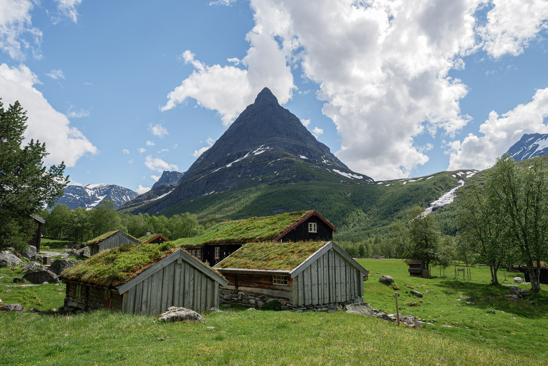
Another 15min walk and here we are at Renndølsetra. It is an old summer farmhouse in the purest Norwegian style. Today it is a gîte, the site is really beautiful. We chat a little with the guard to find out where to bivouac. He tells us that on the heights of the valley, the ground is soggy because of the melting snow. So he advises us to stay around. It is here that there is the most beautiful campsite in Europe according to the Guardian. As the camp is not yet officially open, it lets us settle in for free! Really nice ! We will still have a beer to participate a minimum.
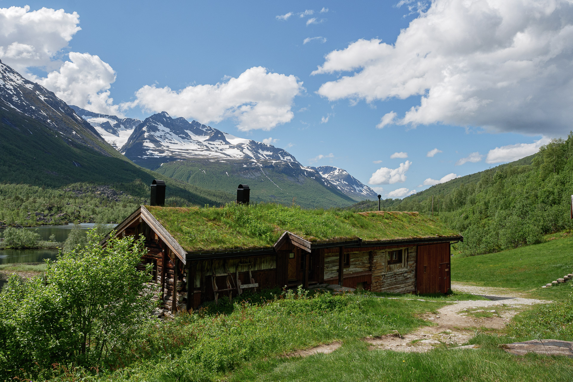
We will put the bags further under the undergrowth before going for a walk in the valley. We will pass the Innerdal Turishytte which also offers a beautiful site to spend the evening.
Once our little tour ends, we return to our bags. We set up camp not far from the water. We light a small fire and settle down to enjoy the end of the afternoon under a bright sun. What happiness. Everything is perfect: the site, the landscape, the little fire.
It will not have been a big day (in the end, about 5 km of walking), but it suits us well, we can take advantage of it. We go to bed under the sun. Indeed no night in this season, we will have to get used to it but the stream next to it rocks us enough to fall asleep quickly.
Day 2 - From Innerdalen to the Dovrefjell
The night was good and not so cold. The objective of the day is simple: reach the “entrance” to Dovrefjell park by crossing the mountains to the south.
So we set off after breakfast and the packaging of the camp. It is dizzying today or even a little drizzling.
The beginning of the hike leads to a small bridge which allows you to cross the river. We then attack a steep climb which leads to the Flatvaddalen between 700 and 900m above sea level. This passage under the greyness is a little sad but still offers beautiful views.
This fairly flat portion is very humid due to the presence of numerous lakes and marshy areas. In addition, we are early in the season, so there is a lot of snow on the heights and it melts at all costs, which adds to the ambient humidity of the small valley.
Its southern end offers a beautiful view of the Sunndalen. From there the path forks to the side of the cliff towards the east. We will have our midday break at the fork in the Tverrådalen which is all snow.
This portion is pleasant especially thanks to the view. It is a little further that it becomes less funny. In fact, we then launch into 700m of vertical drop in terrain that hurts the knees, our heavy bags of food for the next 8 days do not help.
We will reach Eiriksvollen in the middle of the afternoon. We wanted to stay there for the night but the cabin is locked … No problem, in addition we spot a tick here, so we will try to hitchhike to go to Grøa because we spotted a campsite there. We will be taken after a little waiting by the school bus which will even make a detour to drop us off. Arrived on site, we turn on the campsite to find the reception but nothing … strange. A lady goes out to ask us what we are looking for, we explain to her and answer us without much kindness that here it is a private campsite and that we cannot stay … You will have to explain to me the principle but all is it that we find the beak in the water. Well … After consultation we decide to return to Oppdal because we will find something to sleep in and then we have to review the start of the journey a bit because planning level we are not at the top.
Returning to the main road, we will cross a bus that goes in the direction of Oppdal, we will jump on the opportunity. Back in town we find a hotel and we are redoing the plans for tomorrow. We initially wanted to go through the Grødalen to enter the Dovrefjell but finally we opt for the Dindalen. We thus gain almost a day of walking overall which relaxes the planning and will allow us to take better time on the spot.
We will still have worked well today and fall asleep early because tomorrow we finally attack the main subject!
Day 3 - Dindalen
And we get back on the road! The shower did good last night but it’s the last one for a few days.
Bus 901, a few minutes and here we are “dropped” in Lønset. We attack there because it saves us a bit of walking and the climb is more gradual.
The start of the path is on a road / track. By particularly pleasant, this portion has the advantage of allowing rapid progression. It is good today under this beautiful sun. After a few kilometers we return to Dindalen. It is a pretty valley, dotted with charming chalets which seem uninhabited for the moment. To the south we can see the end of the plateau where we are going.
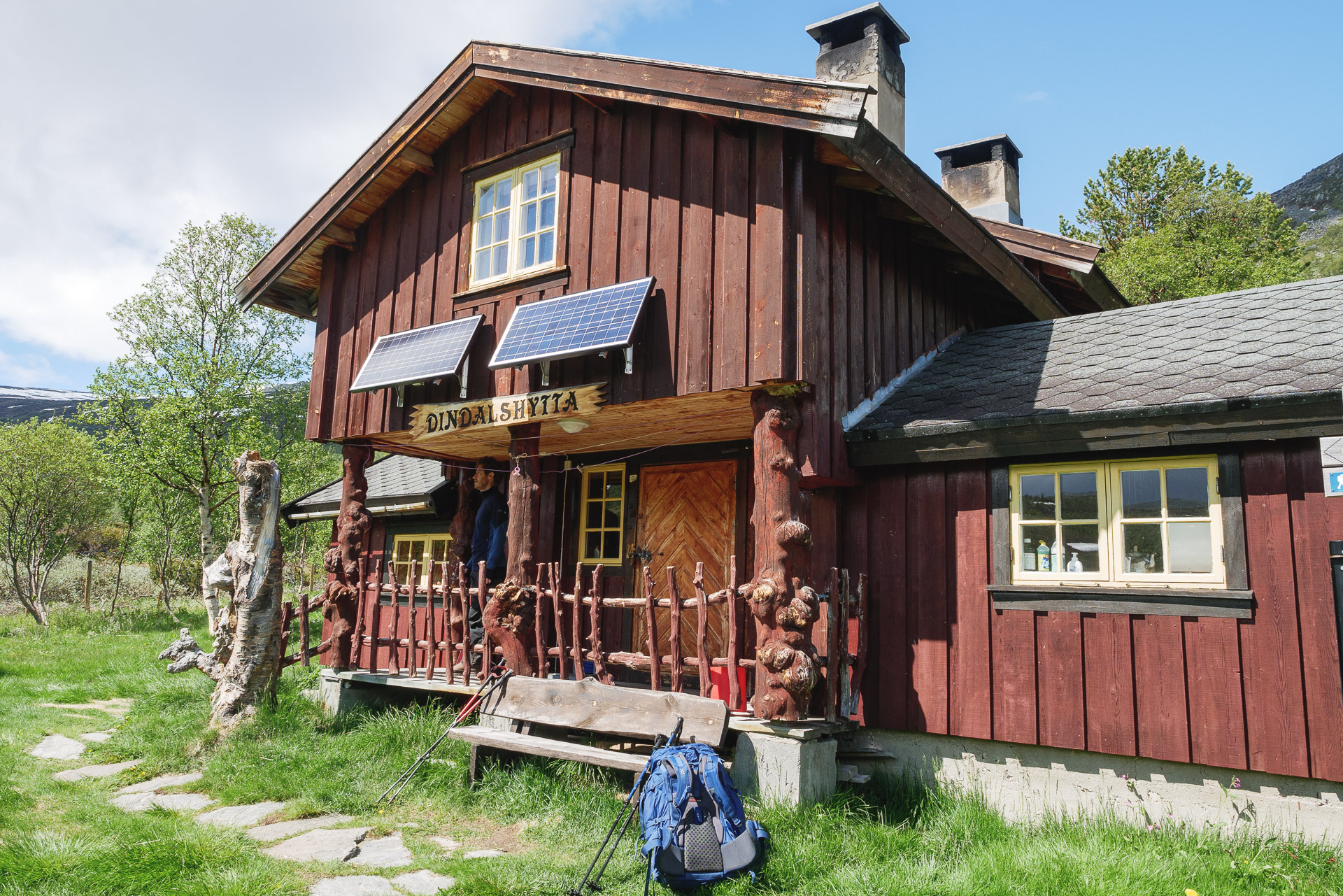
Before that, a short break at Dindalshytta, a refuge still closed at the start of the season.
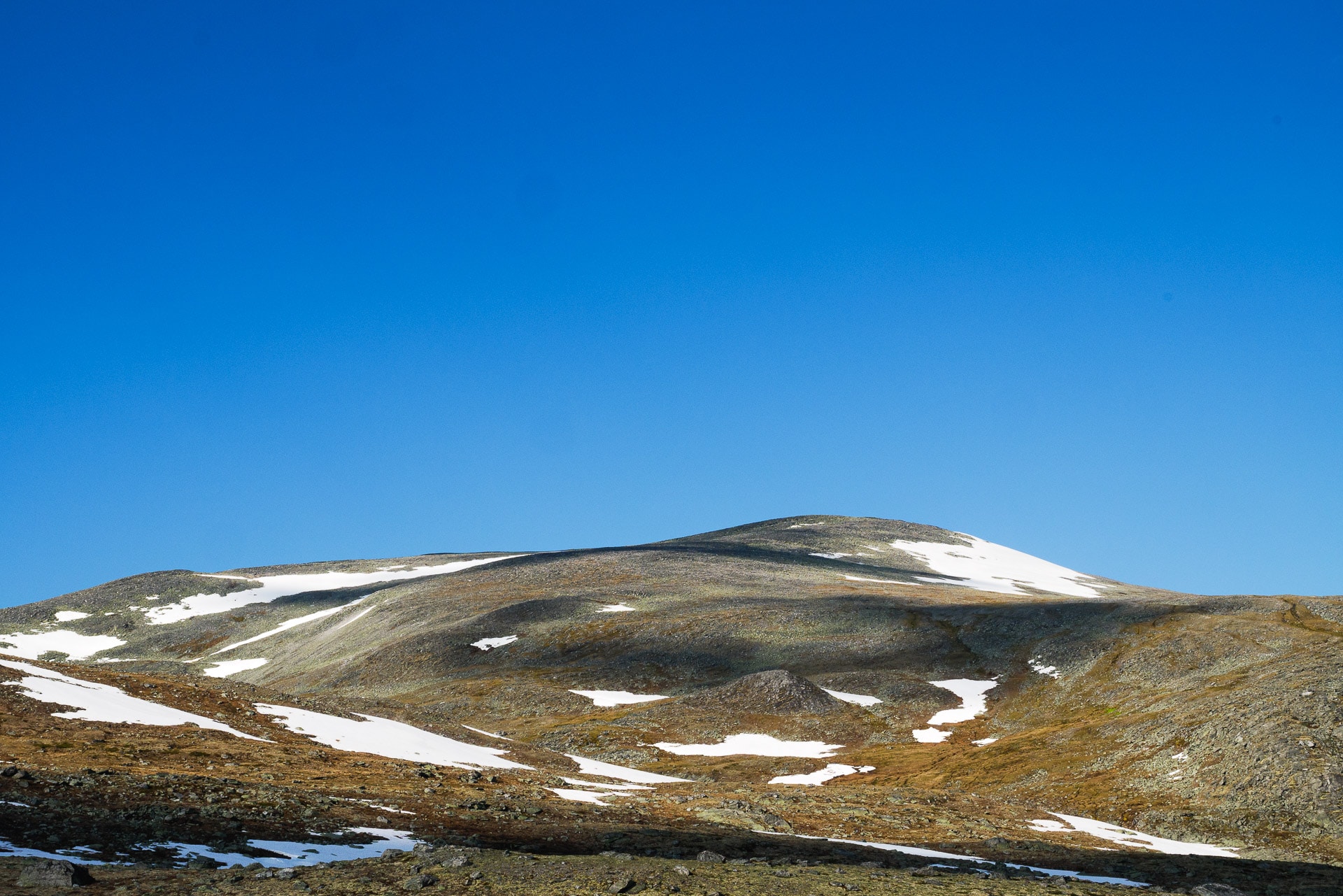
Another small climb which gives a nice view on the valley and here we are, we enter the national park of Dovrefjell. Upstairs we are on a sort of plateau, it is “flat” and the wind blows very hard from the front here.
A few more tiring kilometers with this headwind. We arrive in sight of Snøfjellstjønna lake. There are quite a few pretty cabins here, some quite large, but people in sight. I think people don’t ride much this season.
Some easy crossings of rivers (from rocks to rocks) and we arrive at a big chalet at the foot of the climb on the west side of the lake. As the wind is still blowing so strongly, we use the chalet to protect ourselves from it. No one will mind. There is even a perfectly protected outside table. We therefore ask ourselves, end of the walking day.
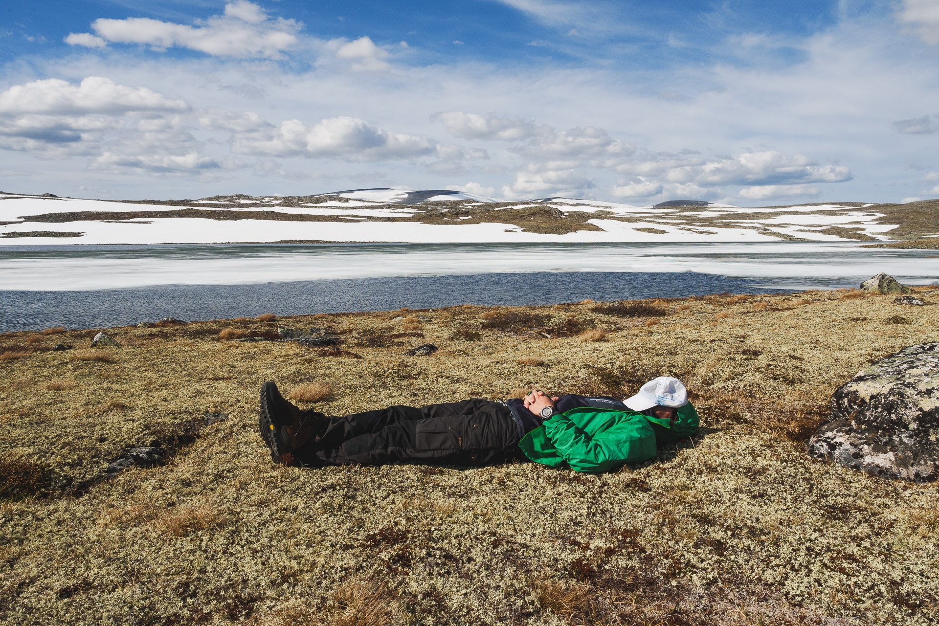
Sheltered from the wind and in the sun it is good. We take advantage of the afternoon admiring the lights on the lake which vary from minute to minute.
We will install the tent on the heights, protected from the wind by a hill, near the lake there is too much humidity.
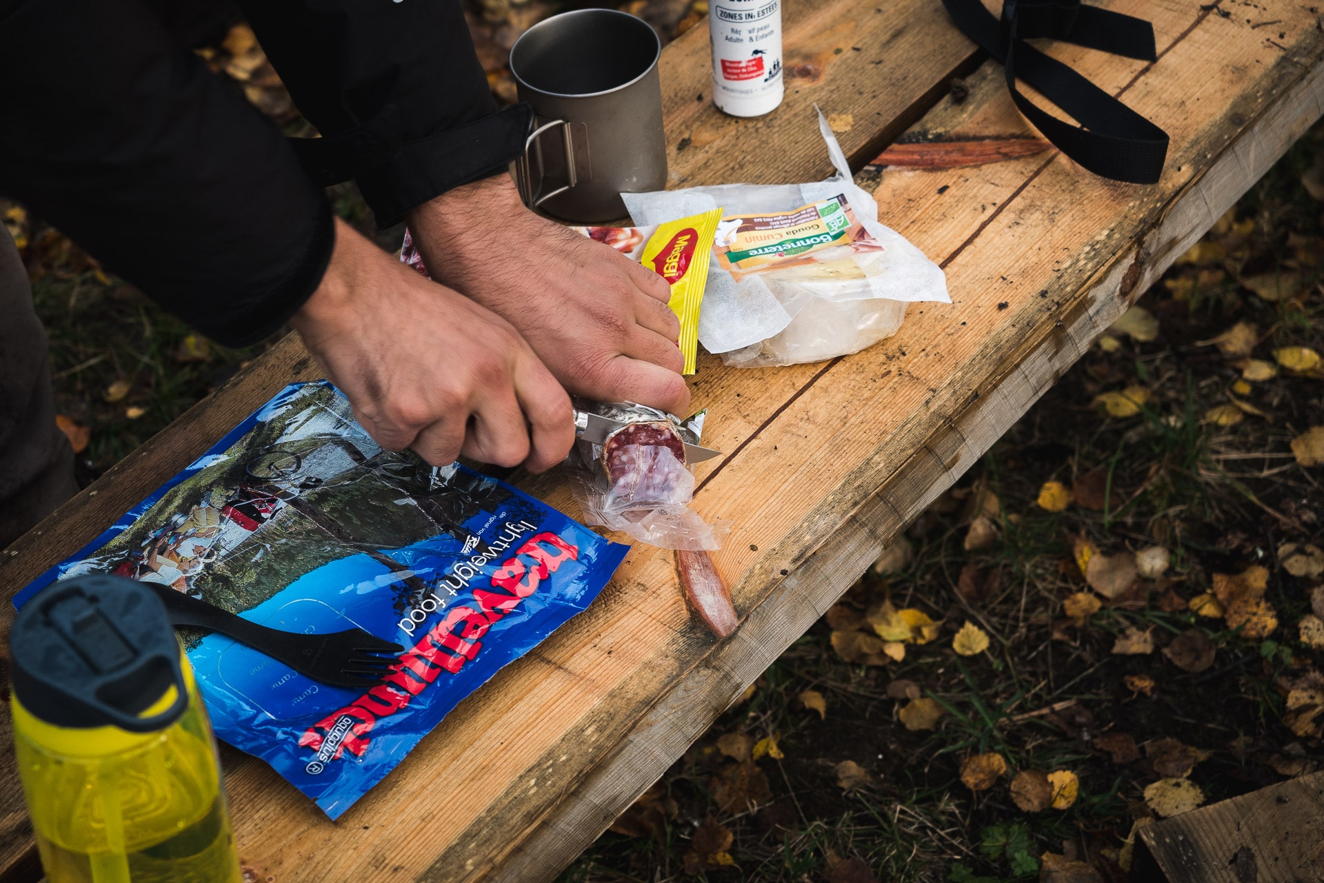
Traditional evening: sausage, cheese, lyophi, sleeping bag, reading, sleep.
A good first day, we didn’t do a lot of kilometers but at least we are finally in the Dovrefjell itself. Tomorrow we will progress further in the heart of the park.
Day 4 - Further in the Dovrefjell
The night was good despite the wind. The good news is that it fell this morning! We can therefore prepare for calm.
We will leave early. The path begins with the ascent of the hill to the west of the lake. From the top the view is appreciable:
The landscapes open and offer a beautiful view of what awaits us.
The land is made up of rocky moor as far as the eye can see. Lots of rocks on the surface which makes walking quite fun and not boring. In the distance, the Snøhetta massif overlooks the park.
There is no actual path but cairns often with a red dot or “T” are regularly spaced to facilitate orientation which is very practical in these landscapes where everything looks the same.
The progression is pleasant. We will have our lunch break next to a very small hunter’s hut (Pilbua maybe?) Before heading towards an intersection around Lake Urdvatnet. There is a wide river here to cross but fortunately rocks have been cleverly arranged to cross dry (with a little gymnastics all the same).
We will then pass a hill around 1500m above sea level before descending to the pretty Langvatnet lake.
Nature sometimes offers a nice encounter, this is the case during the descent when we come across a small nest containing an egg on the way. There is no tree here, so the birds manage like that. We do not linger so as not to frighten the parents who must be in the area.
We will take a short break at the (hunting?) Hut that we meet north of the lake. The hour is already advanced, we decide to stay here for the night but we have to find a corner where to put the tent.
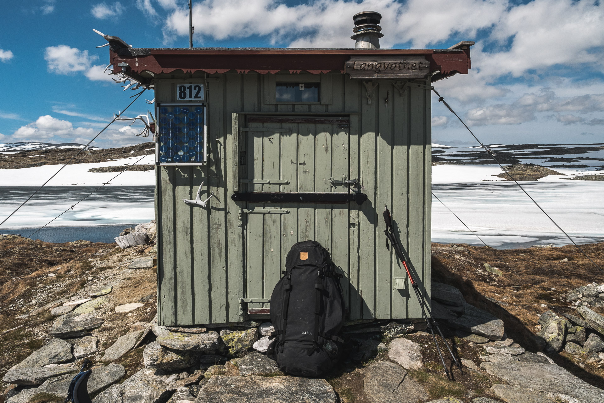
We will find ourselves an absolutely superb bivouac area on a small strip of land in the middle of the lake. The view of the Snøhetta is magnificent.
We will start by setting up the tent before making us a hot tea and resting in the sun!
We did not meet anyone today. Or even animals except a few birds. The feeling of isolation is therefore complete. It is always as pleasant as it is disturbing at times.
We feel good this evening and the landscapes never cease to impress us. One has the impression of being alone in the world here.
It has been a great day. We fall asleep serenely and we can’t wait to be tomorrow to find out more.
Day 5 - Reinheim
What can we hope for more than waking up warm in our down in the middle of wild Norway … Well, it’s true that getting out of down is less pleasant but the weather is good today and a good little walk awaits us.
Classic morning ritual and on the way when everything is done.
The first stage of the day takes us to Åmotdalshytta, a large refuge that can be reached quickly from the lake. No one in sight. It’s been 48 hours now that we crossed soul alive …
Today we are joining Reinheim. From here 3 options are available to us: go through the summit of Snøhetta, take a pass at 1554m further to the NE or an intermediate route which passes at 1698m. We will choose this last option (the top of Snøhetta still seemed to us (too) snowy at the start of the season).
The landscapes are much more mineral now. We have gained altitude and even the grasses and lichens seem to be unable to stand here except for a few leathery ones. We will meet a hare in the distance … the only living creature we will meet today if we except a few birds.
We will take our break at 1698m above sea level, the highest of our journey. Here the view of the park and the Snøhetta is striking. There is no noise, not movement. We really have to be the last or the first humans on earth …
The descent to Reinheim will be quick and fairly easy if not a few tricky snowfields. We will take the path that we cross towards Larsurda and indicated by a sign.
Arrived in Reinheim, we discover another set of chalets which seem quite cozy but which are mostly closed … As we said in the introduction, you must have a key to enjoy the shelters or we do not have it not. We will be a bit like tantalum to see armchairs, benches and wood stove through the window …
We are not all that bad because it is fine despite a fairly strong wind. If we protect ourselves we are fine.
We arrived early today, so we can enjoy the beautiful surrounding landscapes, the calm and the solitude. We can still eat on an outdoor table this evening, we appreciate the comfort.
Two more days in the Dovrefjell and still no muskox in sight or reindeer … To tell the truth, we have seen nothing for 2.5 days except the infinity of the landscapes … It is appreciable and we we feel good but sometimes it makes you a little dizzy. I do not know what would be such an adventure alone … It must be strange but I will try well.
Day 6 - Snøheim
Pleasant weather when waking up this morning. Another night away from the world and in the sun. We are repacking the camp for a short stop this morning as we are going to Snøheim just 6km from here.
The road begins with a climb in a large snowfield which allows us to admire the landscape in the distance. Once arrived at the top we discover a large very mineral plateau and away from the bad weather that comes right on us.
No choice we go to meet the rain that we see getting closer quickly. We will be below at the level of the lake which runs along the east. It’s raining hard! We are quickly wet, luckily we see Snøheim in the distance.
I am amazed at the size of the refuge because the map announces a “shelter”, we are here in the presence of a very large refuge. The fact remains that we are not there yet we have to walk. So put your head between your shoulders and walk as quickly as possible in the skidding rock garden with the prospect of a shelter or even a good fire in a few minutes.
We reach the refuge well wet. The rain has decreased in intensity but it is still drizzling with a lot of wind. So we cool down. On the spot, the calm intrigues us … but it is early perhaps that the hikers have not yet arrived … We look for the reception: closed !!
The refuge is closed! That we did not expect … we are on June 16 yet! Okay, let’s go get the winter refuge, it’s already a luxury.
So we go in search of this famous winter refuge … Short version: there is none. We will go around the huge refuge several times and nothing. Not an open shelter, not a room for hikers. We try to knock on the window if there is anyone inside, no one. We therefore resign ourselves: the refuge is closed, there is no one and no place planned for hikers out of season, it is still raining and it does not seem to want to stop … shelter.
We spotted a sort of covered balcony which gives access to the bedrooms. Fortunately for us there is a small bench and the whole is quite isolated from the wind. I’m not sure if we have the right but we settle here to shelter (in the end we will leave the balcony in the state where we found it I do not think we have bothered. ..). We start by putting on dry clothes and then we throw the stove to make an invigorating freeze-dried product. We look a bit like old wet dogs but we’re not bad.
We will settle down under the survival blanket after the meal to take a warm nap and sheltered from the wind. I am still impressed by the effectiveness of the covers. We are well below, the exit will not be easy.
After an hour or two spent on the balcony we want to stretch our legs especially since it is almost no longer raining. Will follow a long afternoon alternating walk to warm up and rest / reading. We will also spend a lot of time admiring the totally crazy chases of the ducks on the little lake next door (we can feel the level of distraction …).
In the evening we will take shelter to eat next to the reception because the area is sheltered from the wind. We will not be that bad after all, we will even have a good time listening to music alone in the world once again. It has now been 3.5 days since we met anyone except a hare, a few birds and our crazy ducks.
Day 7 - Meetings
It rained a little more last night but this morning we have only gray weather and a little fog. We have breakfast in the shelter on “our balcony”. At the end of the meal, we hear an engine noise! It is the refuge keeper who goes up to do DIY. It’s been almost four days since we met anyone, it’s always weird because it feels like a stranger enters our world which boiled down to the two of us.
We quickly fold the tent and our things and we hit the road. We start the descent which is done by following the track which leads to Snøheim. The path is not very beautiful but the landscapes compensate.
Lower down, once out of the clouds, we see in the distance a 4×4 which goes up towards the refuge but which is stopped for the moment as if to observe something … We thus pass in “vigilance” mode arrived at the level from where was 4×4.
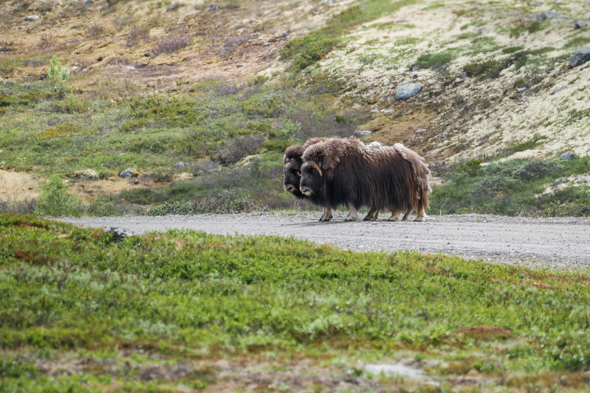
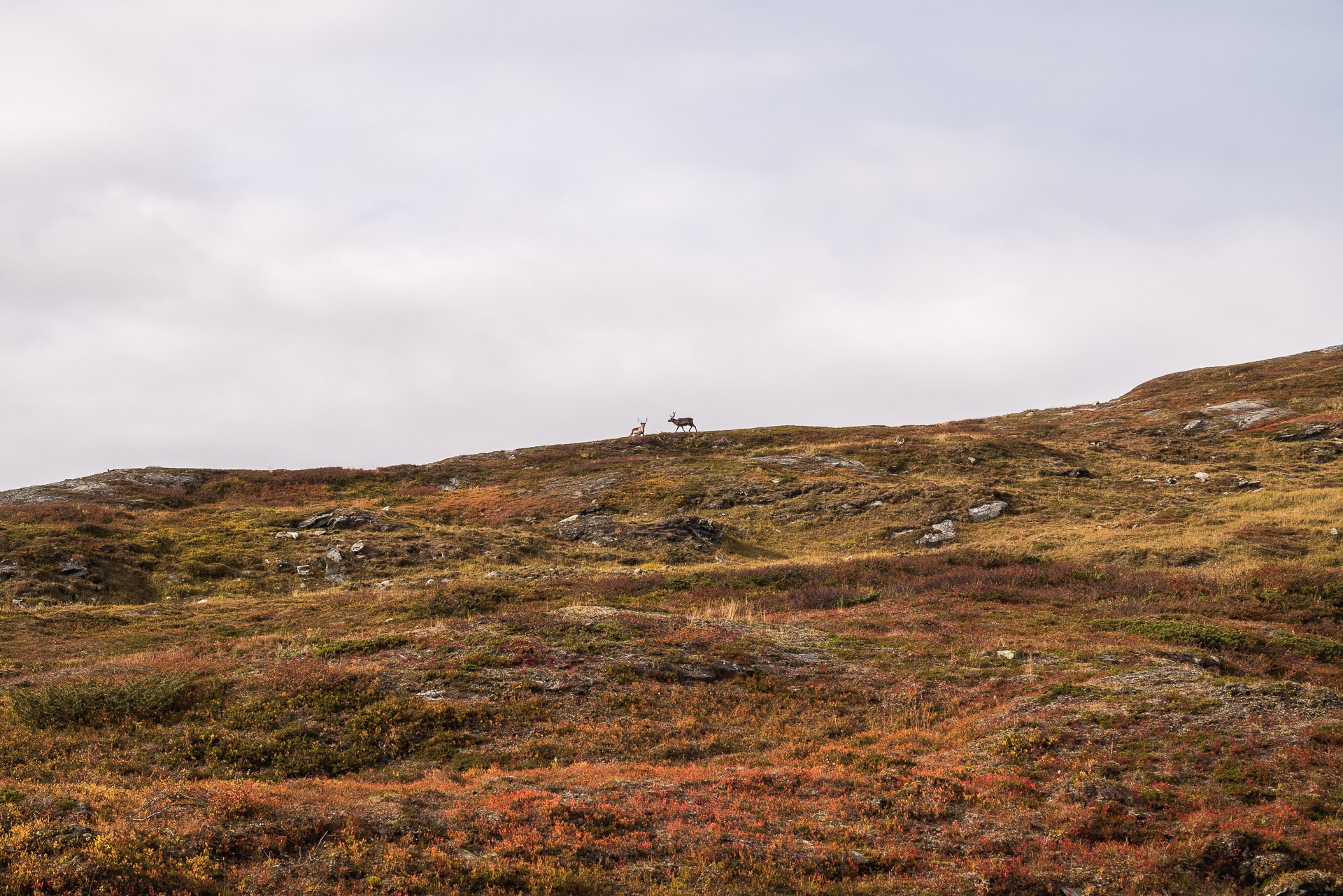
That’s when we see them: two beautiful muskoxen peacefully grazing. We approach slowly while keeping our distance. Finally we stop a hundred meters to observe them.
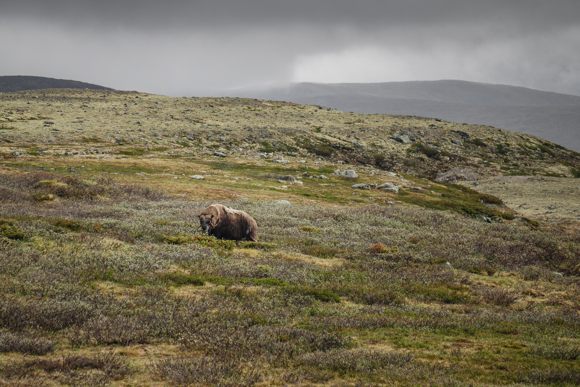
Oxen are beautiful beasts, massive and impressive. The two specimens that we have in front seem peaceful and show no sign of stress or nervousness and we are very good like that. We did not try to hide when we arrived while remaining calm and “humble” so as not to appear as threats. We will stay maybe 30min to observe them grazing not far then we resume our road happy to have had this meeting.
We continue our journey on the lookout for new encounters but nothing apart for the moment can be two small black dots on the horizon.
We could join Hjerkinn during the day but we prefer to stay a bit more in nature. So we go out of the way to 2/3 of the descent to fork towards the summit called Kolla. We will find a great spot a little higher not far from a charming river with a magnificent view of the whole area and perfect for watching the oxen around.
So we set up our last camp of the trip. Once the tent is pitched, we do a little routine check of the surroundings to see if our musk friends are around. In the distance, we see what appear to be two silhouettes of oxen. We decide to go to meet them to check.
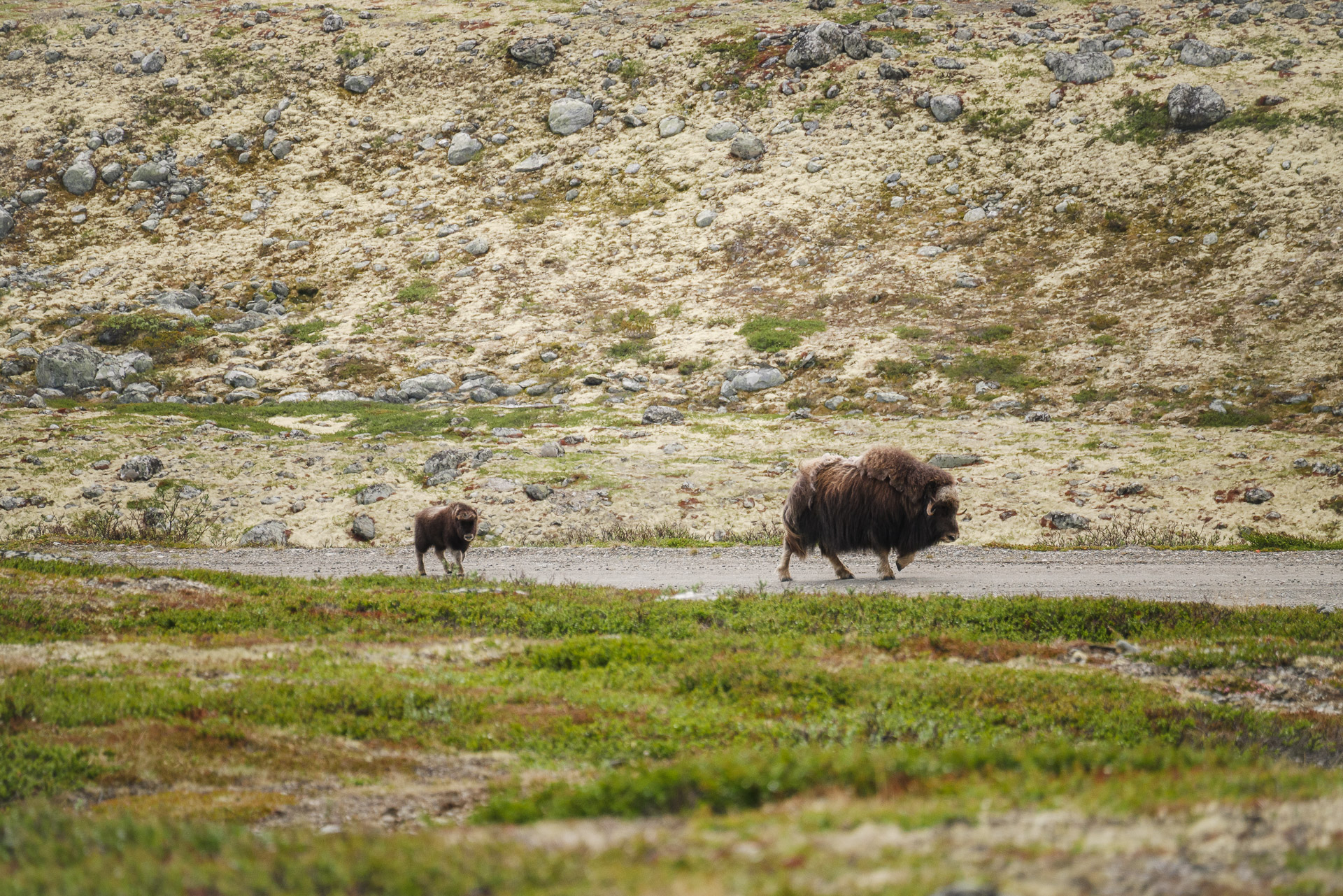
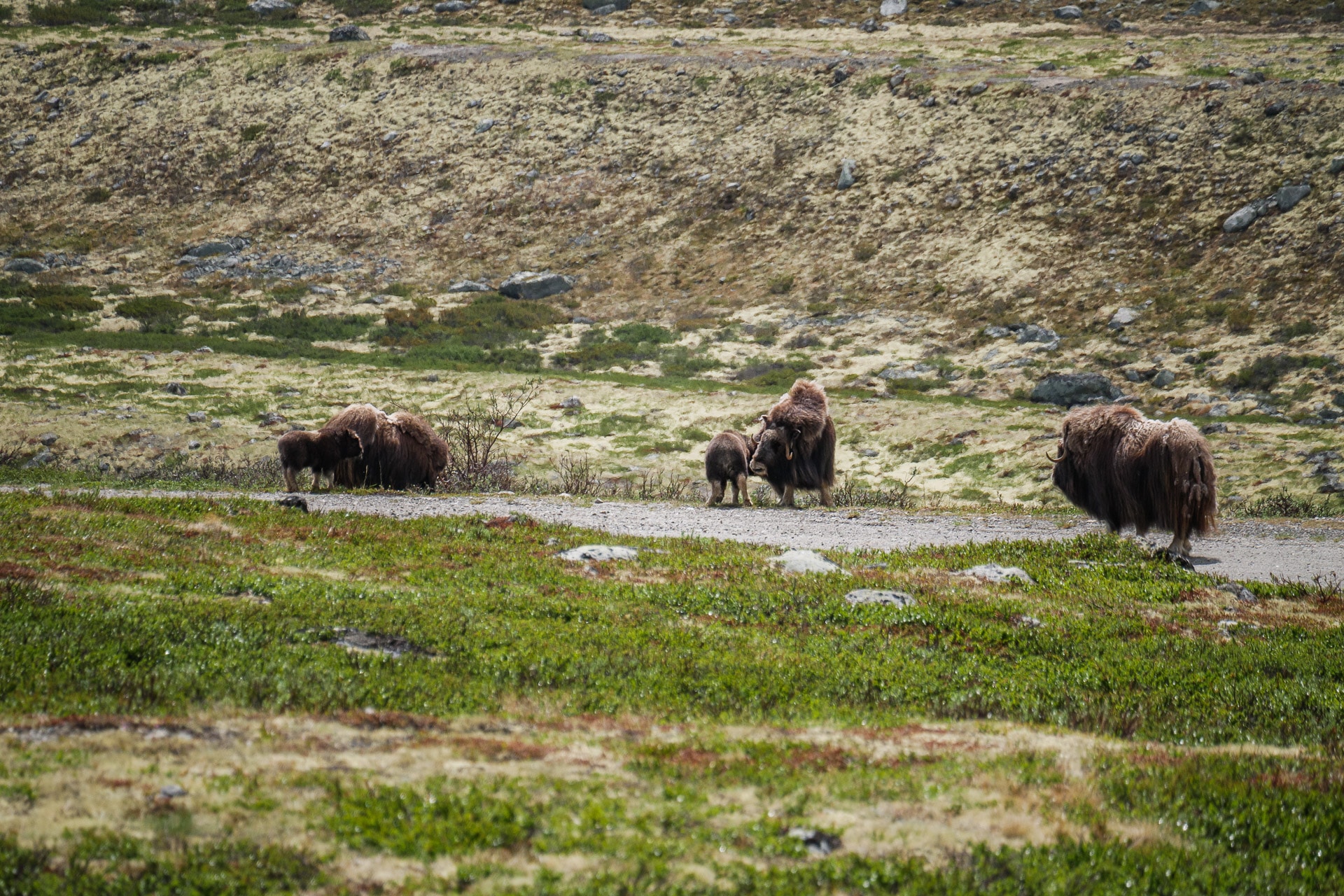
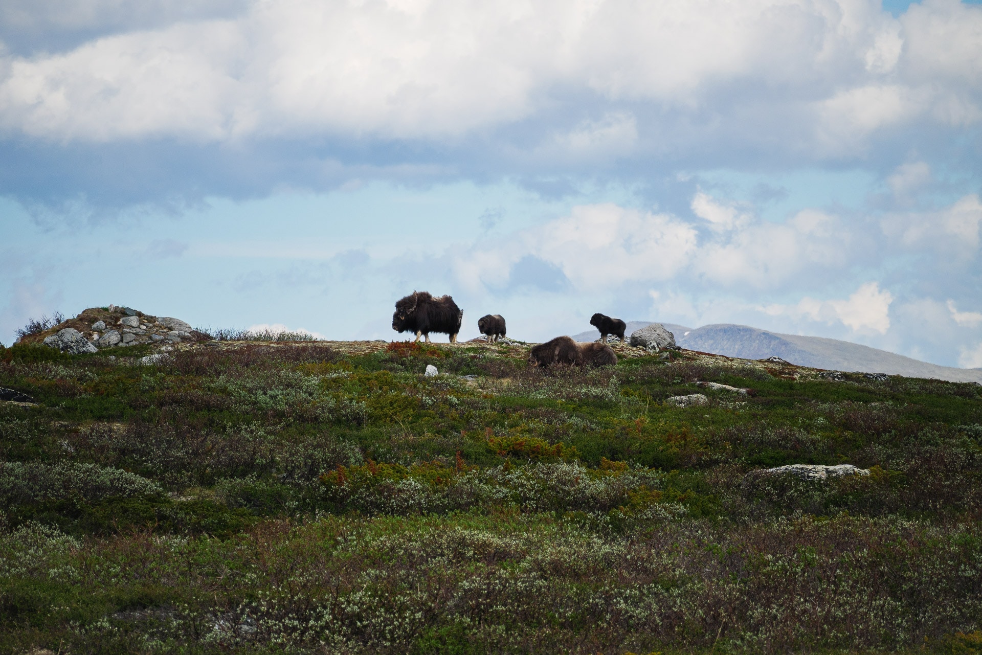
Simply equipped with our cameras, we walk towards a meeting point. We confirm as and when it is indeed muskoxen, what luck! Closer we realize especially that it is not two or three muskoxen who come to meet us but six in total !! Unbelievable ! There are even three calves, we are thrilled. They calmly go up the road and we head a little higher to watch them pass.
We are super happy, what a joy after all these days without seeing anything. We get closer to the road and that’s where we realize that they were not six but seven! The large male is just 50m away. We fall a little “nose to nose”, we are surprised. So we stop and we don’t move. It was then that an absolutely terrifying rumble filled the air: the male made it clear to us that he did not appreciate our proximity. We therefore move back quietly without sudden movement.
Once our distances are taken we take a little cover but the small group of oxen is on the alert and compensates for going back. We did not want to scare them but the presence of the calves must stress them. They therefore turn back but quickly branch off to the left of the path towards our camp. We therefore decide to follow them remotely while remaining discreet.
We will find a good observation post on a prominence from the military past of the park (the park has long been a firing range of the army). From there we can observe the whole family at will, keeping our distance. The male has seen us but does not seem worried given the distance.
It is extraordinary to see this kind of animal frolicking freely in the tundra, watching the little breastfeed, running after their mother, all without anyone and in the greatest calm. It’s a very beautiful moment.
The male is splendid. He watches peacefully and guides the troop. It emanates power and strength.
We will spend a long time observing them there, without trying to interact or get closer. We then return to our camp, very happy with this moment!
It is early and the weather is fine. We will spend the afternoon reading in the sun.
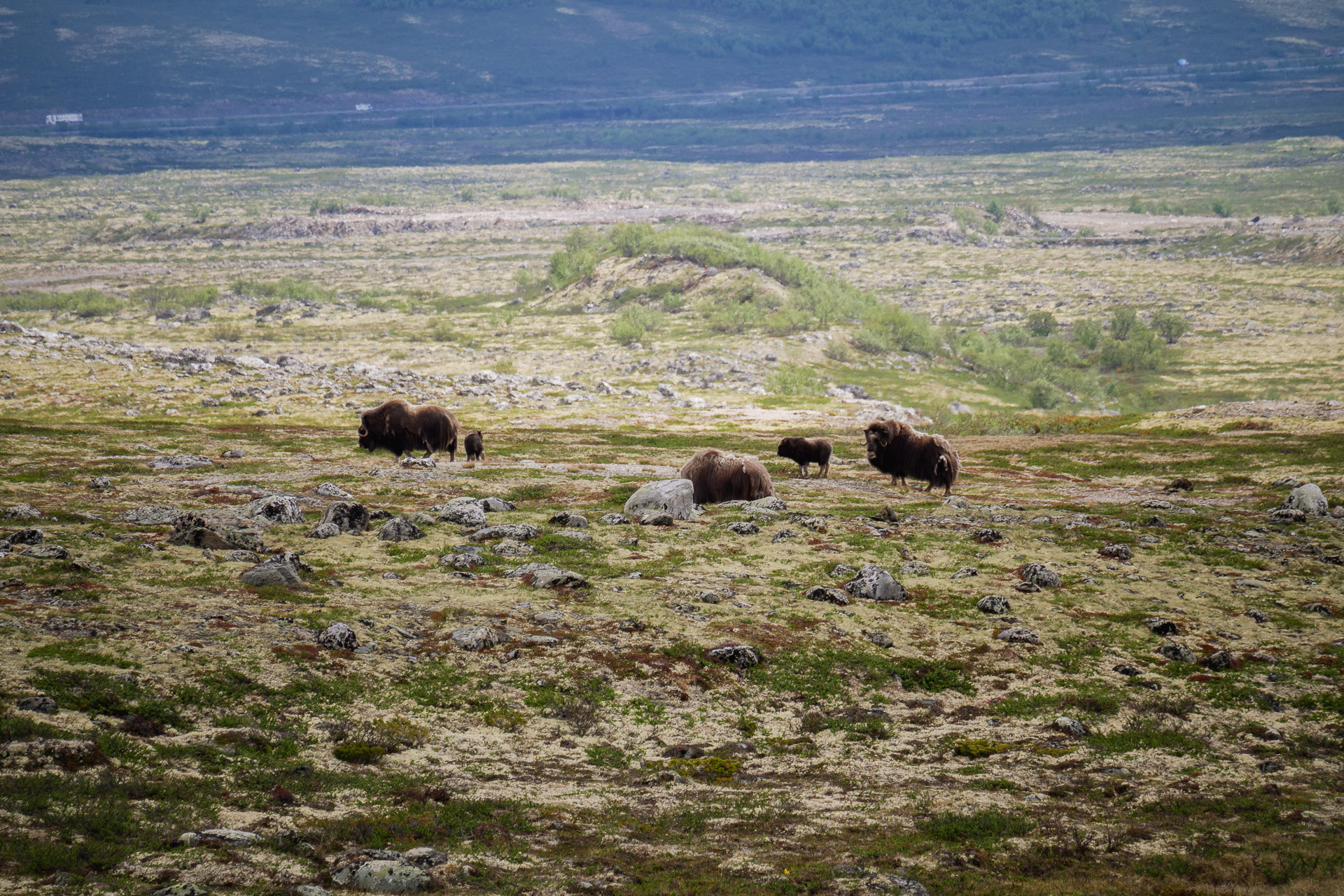
A little later the oxen will approach themselves while remaining at a distance. They will even arise for a while for a little nap, we will imitate them.
The end of the day will be calm with the muskoxen nearby. We start the list of the last: last meal in nature and last bed in bivouac. The oxen have established their “camp” for the night 400m from us. It will rain a bit at the start of the evening, a few showers but nothing too bad.
The day was superb and full of images that will quickly turn into memories. To be there in contact with these almost prehistoric animals in this magnificent setting and devoid of all humanity is great. We are lucky.
Day 8 - Return to civilization
Last awakening in the heart of Dovrefjell. The oxen continued their journey this morning. We fold the tent and back on the way we continue towards Hjerkinn.
The path is fast and without much interest as we descend. Once there, rather than return immediately to Oppdal, we opt to climb to the Snøhetta viewpoint which offers a striking view of the park. A final climb awaits us to reach the famous building at the top and the panorama is revealed.
This point marks the end of the trek. We finish with a picnic in front of this superb view, enjoying the kilometers covered.
We just have to go back to Oppdal and then take the train and the plane back tomorrow.
Conclusions
This must be the sixth time I have been to Scandinavia and I never tire of it. The Dovrefjell offers a still different face from other Norwegian or Swedish parks. I was amazed by the isolation we experienced during the first part of the trek. I think this is partly due to the season but still … Even at Sarek we met more people …
The meeting with the muskoxen was a beautiful moment and justifies by itself that we go through the park. I have rarely had the opportunity to be “in contact” with large mammals in a wild environment, it is a great experience to live.
Let’s not forget Innerdalen and its incredible panorama. In the same way, do not hesitate to take a look if you are passing through.
At only half a day of travel, the Dovrefjell and its region therefore offers very beautiful possibilities for wild hikes, far from the world and within a sumptuous park.
SAREK
9days
trekking
170km
walked
2500m
D+
1
day without rainning
It’s been fifteen months now since we returned from our Lapland adventure along the Kungsleden. Fifteen months that the Far North is calling us again. So, of course, the GR738 has allowed me to escape a week in the mountains but I need my annual migration to the Nordic countries, this time we will take the direction of the Sarek National Park in Sweden for nine days to trek in a wild and raw Nature.
Sarek and Route
Vast almost 2000km², the Sarek is a Swedish national park located a few hours drive south of Kiruna and not far from the Norwegian border. Often considered the last wilderness in Europe, Sarek is a concentrate of wild nature. Here there is no road, no marked path (and even almost no “real” path), just 2 bridges, no refuge as such, at most some cabins as spartan as rare and weather conditions may be hard. Your only neighbors at (tens of) kilometers will be the reindeer that the Sames let graze here all summer long.
A true paradise for the walker who wants to be in the middle of nothing for several days.
On the other hand, the Sarek has a price: no path, no road, etc. implies that you have to navigate even in an often harsh environment. You have the choice between marshes, dense birch forests or large empty expanses in altitude and for the weather: rain (a lot), wind, snow and a little sun sometimes…
Sarek is a difficult environment. The terrain and the weather can be very hard and changing. Even in summer, very short indeed, you can have winter conditions at altitude. Be prepared! The Sarek are aimed at experienced walkers who know a minimum of the middle of the Scandinavian Arctic and who are equipped accordingly. Here you will be alone and the help will not always be able to intervene quickly, besides that you will have no telephone network, nor quick escape.
Warning: the following tutorial is part of a specific context of this month of September 2018. Do not assume conditions in advance (especially with regard to crossings rivers) and do not take the characteristics that we have encountered as an absolute truth. Prepare your hike well and always keep a margin of safety.
Our route allowed us to travel a good piece of Sarek and to pass by the Rapadalen and Skierffe, THE point of view not to be missed in the park. About 170km long, it took us 9 days of walking to achieve it at a rate of 20km / days. It was not a health walk but it is achievable. You will find below are details (the GPX is downloadable):
Joining Sarek
Who says isolated region says not easy to access. In addition, we leave in September which corresponds to the end of the season here, some services are already at a standstill.
First step: going to the North. We chose Kiruna once again as a base camp. You can also start from Gällivare which is accessible by train (but no longer by plane). Kiruna has the advantage of having an airport and some good hotels. It is the “city” of northern Sweden. To enter Sarek there are several “classic” points: Ritsem, Kvikkjokk and Saltoluokta. Since the lake crossings and the bus to Ritsem seemed complex because the services were finished for the season, we chose Kvikkjokk as an entry point and Saltoluokta as the exit.
Getting to Kvikkjokk by public transport from Kiruna, requires taking a train to Gällivare and then several buses and a taxi, in other words, it’s long and we did not have many days in front of us. So we chose a solution not “sexy” and rather expensive: the taxi. It is still 4h30 drive and around 5000SEK, three it’s better but good …
So we arrived on site on a Sunday, we bought gas for the stove on Monday morning and we took the taxi at 12h to arrive around 16h (driving sport driver …).
For the return of Saltoluoka it is “simply” taking two buses to Kiruna or one to Gällivare.
Here are some useful links to prepare transfers:
- Swedish Trains : https://www.sj.se/en/home.html#/
- Bus Schedule (especially line 93 for Ritsem) : https://ltnbd.se/
- Taxi Kiruna : https://www.swedavia.com/kiruna/taxi/
- Last solution a bit radical, the helicopter from Ritsem for example (to cross the lake) : http://www.fiskflyg.se/ritsem-en/?lang=en
Also links to the main “resorts” in the area and information on lake crossings:
- Ritsem : https://www.swedishtouristassociation.com/facilities/stf-ritsem/
- Saltoluokta : https://www.swedishtouristassociation.com/facilities/stf-saltoluokta-mountain-station/
- Kvikkjokk : http://www.kvikkjokkfjallstation.se/fr/Kvikkjokk_Fjallstation ou https://www.swedishtouristassociation.com/facilities/stf-kvikkjokk-fjallstation/
Warning: you will certainly have to cross lakes by boat, although some are rowing there are motor boat crossings. You will sometimes have no choice. By cons it is very expensive! Here is a non-exhaustive list valid for 2018:
- Kvikkjokk-Padjalenta : 250SEK each
- Sitojaure : 400SEK each (Twice a day or on demand)
- Saltoluokta to the bus : 200SEK each
- Ritsem : ??
No bank card for the first two but euros seem accepted. In the end, plan cash!
Day one - Departure and Padjelanta
We are September 10, 2018 in Kvikkjokk around 16:30, the weather is nice, the sun begins to be low in the sky and we are waiting at the water’s edge the arrival of the water taxi that should lead us to the beginning of the Padjelanta. We are all three, with Quentin and Matthieu, eager to immerse ourselves for 9 days and 170km in the Sarek. We had only a hurry after last year and the Kungsleden: come back and make even more wild, here we are!
Our “pilot” arrives with a few passengers coming back from Padjelanta. We see with him some details and we embark for 10min of boat. Although early September, autumn has already established its camp here. The birches are dressed in their yellow-red hues, it’s beautiful. The sunlight is soothing. We slide on the water quietly, what a nice way to start a trek.
The jetty is sketchy but there is a small cabin next door for hikers who missed the last boat. We take the time to discuss with the pilot about the route, the passages of lakes, … First a little gruff, it will prove quite nice and will give us good advice.
Now we are alone, the bags are loaded on our backs that bear the weight of the 10 days of food but we are going the light heart on a very good way, marked and easy. This is also a good thing because we will spend two days along it, the time to warm our leg before attacking the heart of the subject.
We will do 7km tonight. Nothing really difficult. The landscapes are pleasant but not particularly impressive because one evolves mainly in dense forest. There are some comfortable bivouac areas along the way. So we settle down at nightfall, not far from the river.
The time to get on camp and eat and the rain begins to fall in fine drops which precipitates our movement back into the sleeping bag warm and soft.
End of the first day which will have been especially a day of transfer. We really attack the march tomorrow with at least 18km to go. In the meantime: good night!
Day 2 - Futher along the Padjelanta
It has rained all night and the environment is particularly humid this morning. We will bend the camp under the drizzle of what hasten our departure.
Today we continue along the Padjelanta. So we are progressing easily even if the rain has made some passages slippery (including the famous boardwalks crossing the marshes). After some time we start to leave the forest at times, allowing us to admire the extension of the valley for kilometers downstream and upstream. We have, for the moment, only met one person at the Nunjes cabin and that will be all for the day …
We are fit and happy to be here. Even if the weather is not good, the weather is not unpleasant. The sun plays with the dense clouds and creates beautiful contrast on the orange birches.
There is not much to say about this particular day. The landscapes remind us a lot of those of the Kungsleden for now but can be at more impressive dimensions.
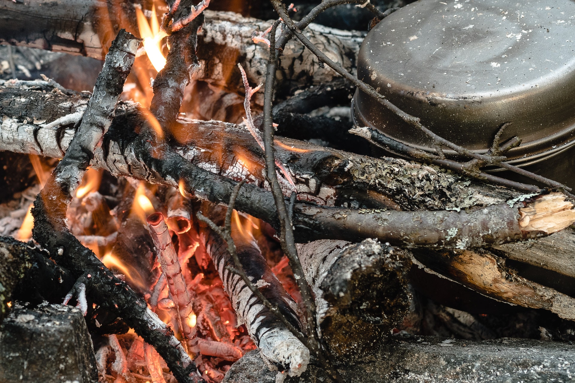
In the evening (around 16h – the sun setting at 19:30, we shifted the day: get up 6h bed 21h), we will put the camp a little before Såmmarlappstugan, where the path comes very close to the river. It is a nice spot for the bivouac with a beautiful view of the surrounding hills. Unfortunately we will have the right to a succession of small showers all the evening. We still managed to light a fire despite the wet wood but it will not heat very hard.
We do not stay late tonight. The sun setting early and rain not helping but especially we are tired of these first 20km. You have to give the body time to get used to it, it will be better in a day or two.
For now we fall asleep, rocked by the plop plop rain on the tent. It’s nice to feel a little further from civilization tonight but I can not wait to be really isolated, just a few days of patience.
Day 3 - End of Tarradalen and end of path
A second rainy night. We are bending a wet camp again but at least it has stopped raining for now.
We will arrive quickly at Såmmarlappstugan where we will cross the caretaker doing the cleaning before closing. He expected to leave this afternoon. The time to chat and admire the morning mist on the river and we take the road on the Padjelanta which rises slightly here.
The vegetation is becoming more and more sparse as the day progresses, this allows us to enjoy the view of the entire valley.
We will arrive in view of the cabins of Darreluoppal in the early afternoon. We will meet three people in this area who will be the last for 48h.
Another hour of walking and we are at the cabins.
We will arrive at the cabins in the middle of the afternoon. Then the big question is whether we continue a little way or if we stop here for the night and enjoy the comfort of the winter cabin …
After deliberation, we choose to push further. It will always be won … So we go back on the road again a few hundred meters. Indeed it is here that we come out to walk in the pampas freely. So we choose to cross the river (we will stay west of it for later), climb a little on the heights and finally out of the way.
It is amazing how this little step aside, the one that leads you off trail, is loaded with a strong symbolism in my opinion. By this small step one finds a kind of total freedom, one can walk where one wants, as one wants, having for only constraint the ground. However, we also leave a reassuring line that leads from a point A to a point B without asking too much question. Inwardly, therefore, we must accept all this freedom. For my part I will have to wait a few hours off trail to just find a nice feeling of walking in freedom.
In any case, what reassures me is the field. I was afraid that it is complicated on this section but for now it is grass with some bushes and rockeries. Nothing really bad.
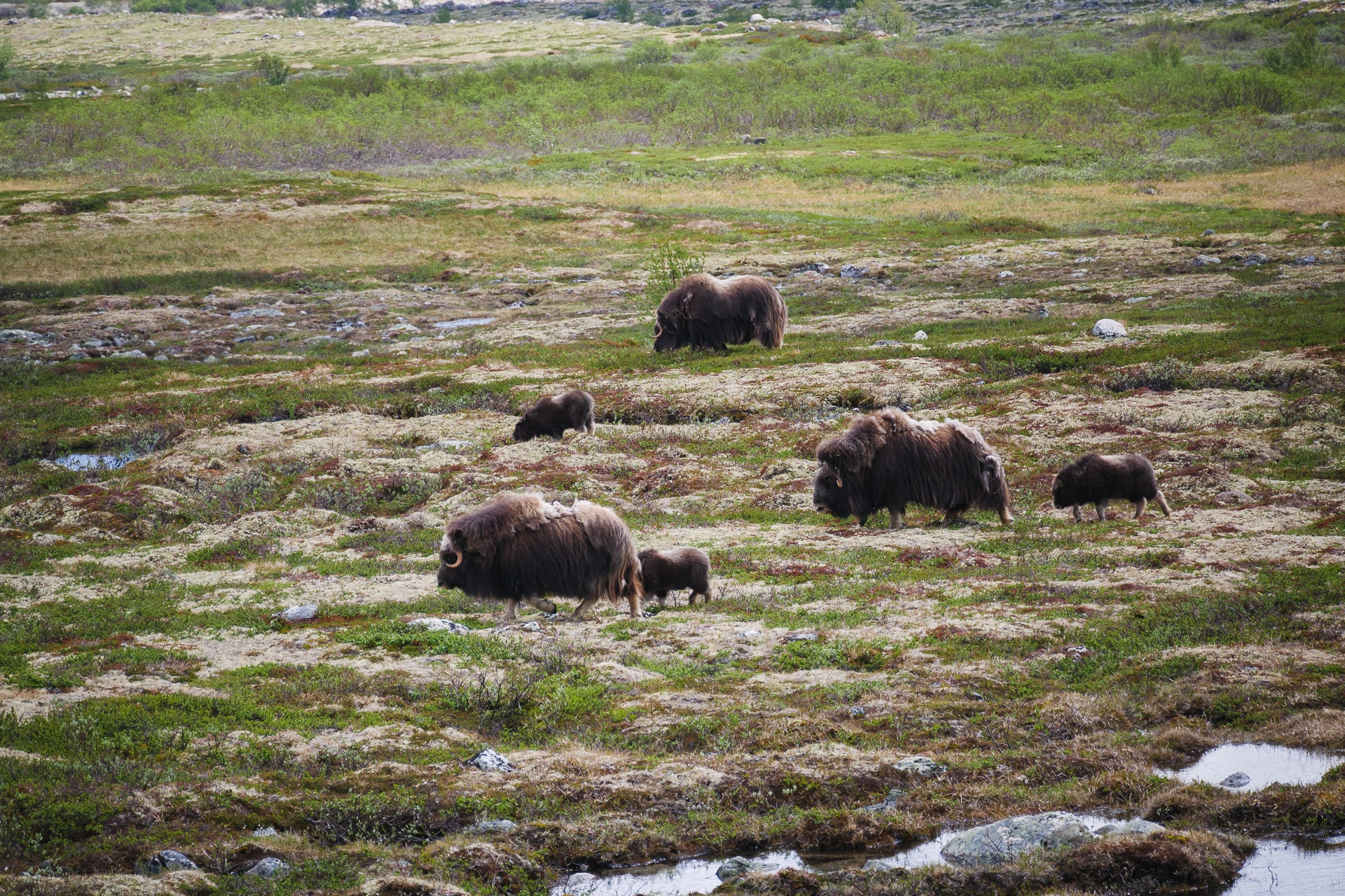
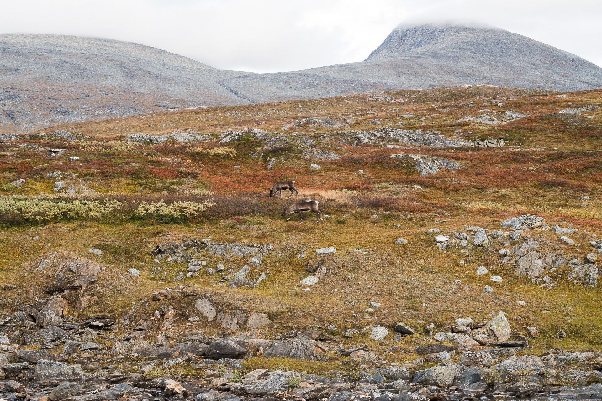
We will not be long in crossing our first reindeer in this ground which is ideal for them. They usually move in a small group of about ten individuals, but one can cross larger herds.
After twenty kilometers we will set up the camp right next to the river Vassjajåhkå to the right of Lake Vassjajavrtja. A very nice location with a beautiful view and relatively sheltered from the wind.
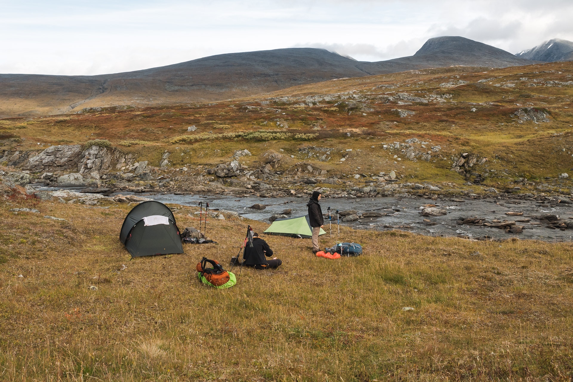
The bivouac quickly installed, we take advantage of the fact that it is still early to go about our business: photo, rest or hunt wild berries that abound in the area.
It will not be long before we have successive visits of small groups of reindeer to the other side of the river. They still keep their distance but it’s a nice show while we eat our lyophi well protected from the wind. In the evening, temperatures fall quickly and it is difficult to stay outdoors for a long time after eating.
Thus ends the third day of walking. For the moment everything is fine if it is a few small sores and a little tired but nothing abnormal.
It’s the first night I feel like I’m far from civilization and still, in the end, there are the cabins that are a short walk away … In any case, the morale is good the physicist is following and I can not wait to get a little further into Lapland.
Day 4 - Off tracks and Lake Crossing
Here we are, today we really enter the Sarek whose limit is represented by the small river next to which we camp.
The night was cool but good. We are starting to get a good run on camp storage and we are quickly back on track for our 20km daily.
We continue towards Alggajavrre Lake. The off-trail progression is much easier than I expected and that’s good! Even the few streams to cross are low enough not to bother us too much. We are moving relatively quickly in this beautiful valley. We pass small passes in small passes, revealing each time a new perspective. Here, more trees obviously but the grassy steppe as far as the eye can see. I love this kind of landscape. It feels very small and you breathe.
We will quickly pass the barrier reindeer that serves the Sami to gather their animals. We will cross it at the river but there must be “doors” to cross it elsewhere I guess. The meal break will be done a little further, in front of the Renvaktarstuga.
The Renvaktarstuga are private cabins that belong to the Sames, so you can not use them as a refuge for the evening. On the maps you will find further indications “Låst” or “Forfallen” next to some huts; it means “locked” and “ruined” respectively.
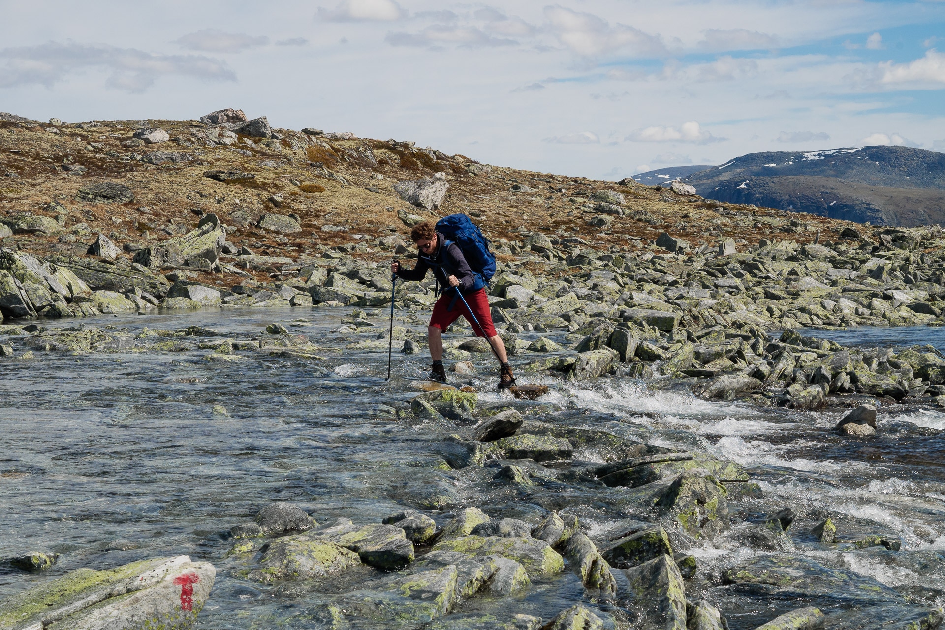
A little after the meal break, we will come across our first crossing a little complex of river. Indeed we find here the confluence of two arms which form a rather important stream in the end. It is therefore necessary to cross a little after the Renvaktarstuga and stay to the west of all the rivers (left bank). We will arrive after some research time to cross (almost) dry by jumping from rocks to rocks. Once again I think we are lucky because the level of lessons is low in this season, it must go very differently in the spring and the crossing must be much more difficult!
We will quickly see Alggajàvrre which marks our entry point into Sarek and a little above Alkavare Kapell, a small chapel, a remnant of a period of mining exploration in the area.
To cross the lake there are two possibilities: row or pass by a bridge. You will find to the north-west end and under the Kapell, boats to cross the river.
The system of the three boats: it is a system that you will find in Sweden and Norway. To cross the train you have two possibilities. Either there are two boats on your side and you take one to cross, or there is only one boat on your side and you will have to cross, come back to drop a second boat which is on the other side and cross a new time. In summary with three boats, we make sure that there is always at least one on each side and it is the responsibility of the user to ensure it. It is therefore necessary to play the game even if it can take time (we will come back to the crossing of Sitojaure) and ensure that there is always a boat at least on each side.
No luck for us, there is only one boat on our side. But hey, the crossing must be 300m, we should get by.
We load our stuff, the guys and the last (me) pushes the boat to finish putting it in the water but the problem: it blocks! It can not be taken off. The water level is so low that near the bank there is not enough for the boat to float …
It will be nice to unload, no means to properly float the boat …. Good … Since we know that there is a bridge a little higher we do not take the head: we unload the boat and we go back to the bridge. I think it could have been put in the water by emptying bags and all, removing the shoes and pushing in the water but except a certain laziness to do all that, we did not know the depth either on the rest of the course, the bridge seemed a good alternative. Suffice it to say that 2018 was a particularly hot year for Sweden, even in the Arctic, which must partly explain the low level of the lake.
So here we are on the way to the “Bro” which is about 2km higher (to locate the area from far it is in the set of small hillocks that can be seen quickly by leaving the area of the boat). So we reach it quickly and we quickly realize that it pulls a little face this bridge …
In addition to its rusty side and the few hanging ends, we have the right to a beautiful sign with a raised hand that seems to indicate a ban to pass … Not having too much choice we start anyway, one by a. It creaks and it squeaks but it goes. Honestly, we were not reassured at all at the crossing and I advise you to be very careful if you go there … (Back in France and after translation, we will realize that the sign means that the bridge is repair and do not borrow it …).
Here we are on the other side … Half turn then and it is left towards the Kapell that we will reach relatively quickly if it is the crossing of the river Gajnajjågåsj which will take us a little time because we have a search for a dry passage.
The detour by the bridge has consumed time and we have made less progress than expected. So we want to continue at least to the east end of the lake.
We are now progressing in a kind of miniature forest composed of bushes, height height or shoulders, particularly dense which makes navigation and progression particularly difficult. So we move slowly while making our way. It makes sense to have a path in the corner but you can not find it and try it up or down, there is nothing to do and frankly it annoys me! In addition to Quentin begins to have a suspicious knee pain, we will have to be vigilant.
We will finally arrive at the end of the lake and a not too bad place for the bivouac after 23km of walking … a good day.
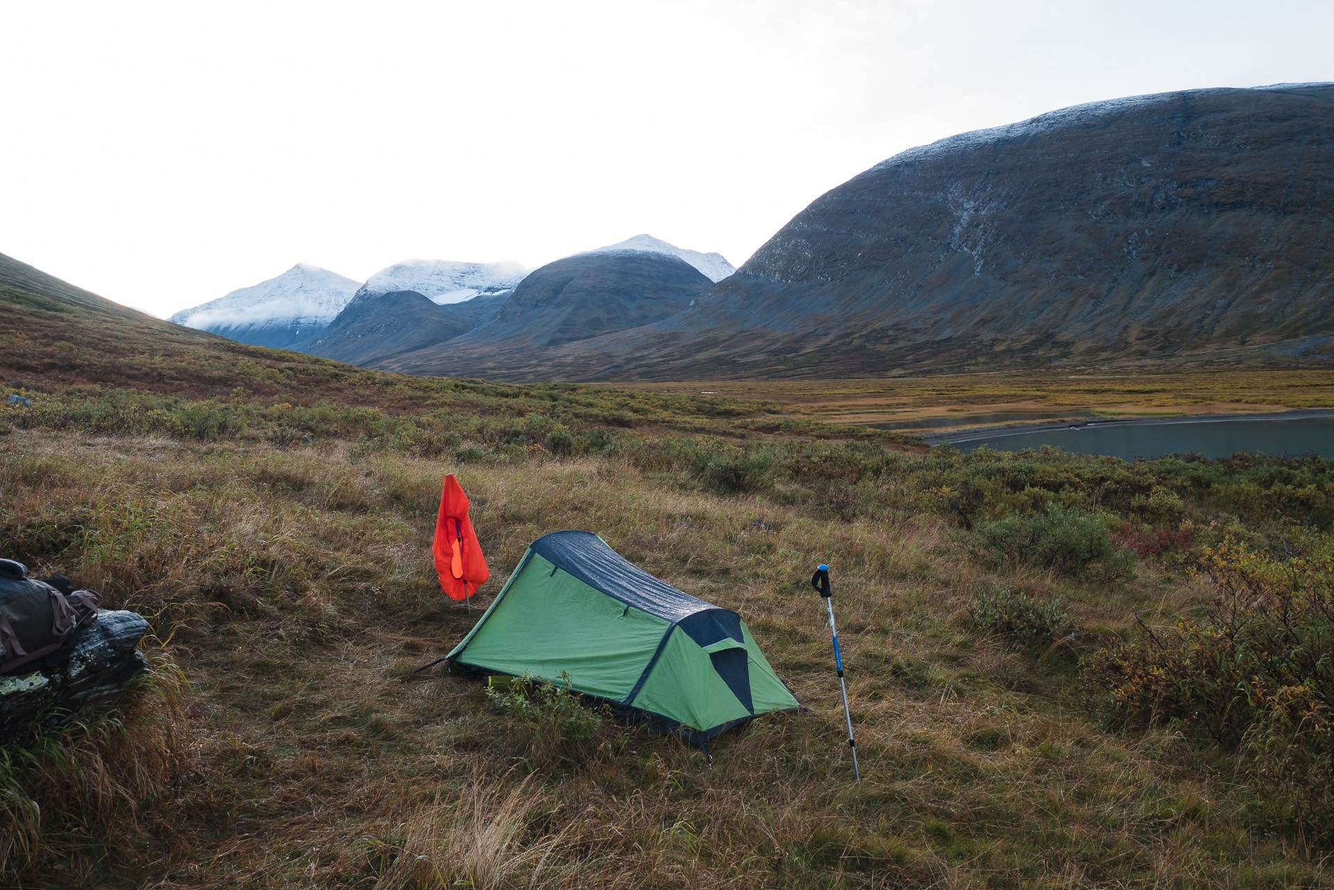
The setting up of the bivouac is accompanied by a “nice” small fine rain that will not let go of the evening … So for me a moment a little gloomy in the gray and the cold. It’s a shame, the corner must be beautiful under the sun.
Once again we will not be slow to join our down especially since we are very tired tonight but well be happy, we are concretely in the Sarek tonight and we will begin to explore it tomorrow!
Day 5 - Alggavàgge and magic hut
Cold and rainy night! The alarm clock is not so easy … but the landscape compensates: indeed a light layer of snow sprinkled the head of the surrounding mountains is beautiful. The morning atmosphere is very serene but the clouds will soon come back to their appearance bringing the rain …
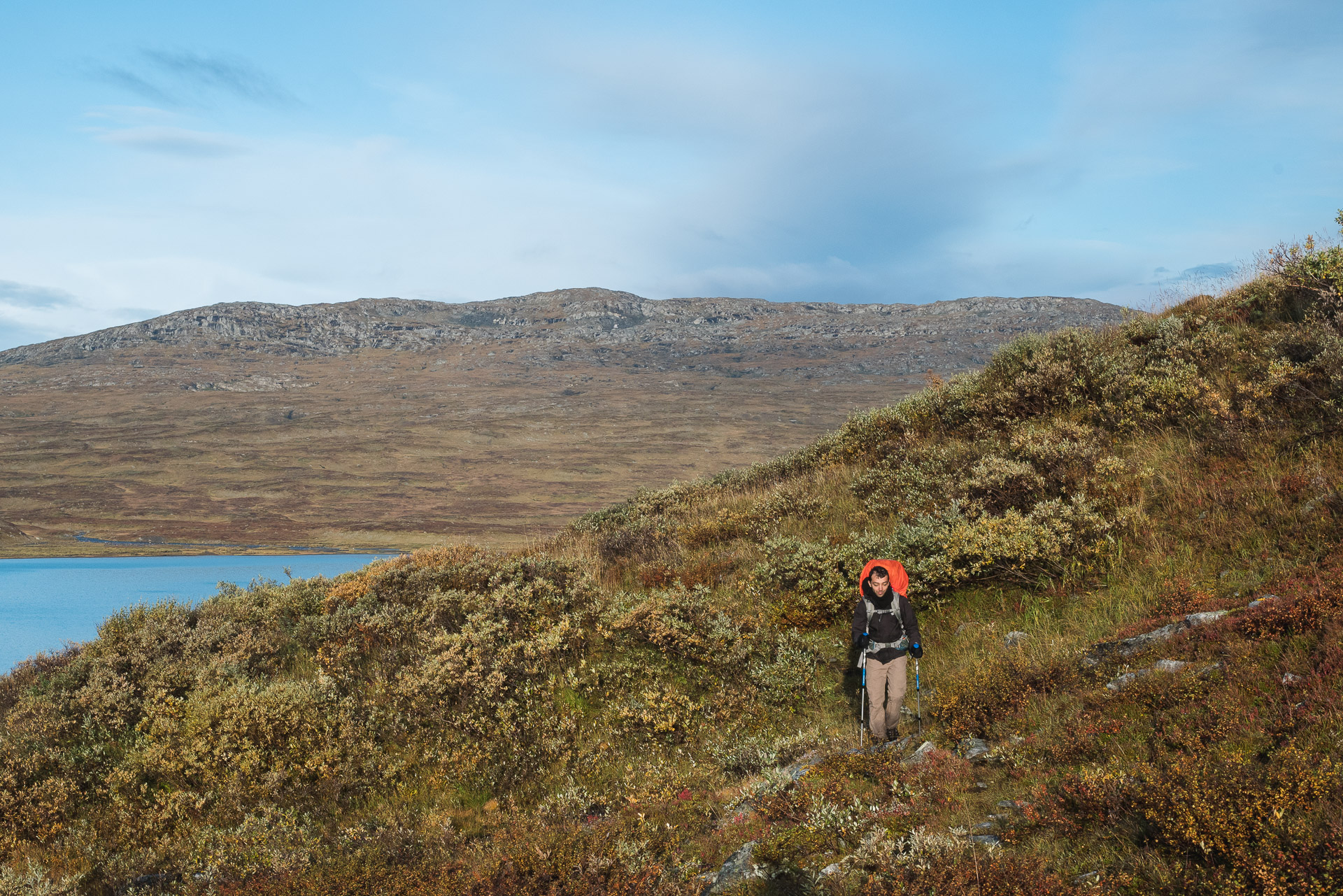
We go back on the road looking for the famous path that must pass in the area. So honestly, except for some traces of passages that are due to humans but also to reindeer, we will not find a good path for a moment. No, we will have the right to these horrible bushes which are, moreover, soaked this morning! So we are all wet pants and it goes into the socks by capillarity. So I quickly wet feet and to be honest, they will not dry before the end of the stay … It progresses very slowly and galley, it’s a dirty start to the day! To top it off, Quentin’s knee pain is sharp and very similar to tendonitis. This is worrying for the future because we are at least 40-50km from an exit point … So it will be necessary for the knee to hold!
After this horrible area, we finally arrive in a clear space that allows us to walk a little faster even if we sometimes progress in the marsh that ends to moisten us. On the other hand, the view is superb and the mountains keep their snow cap.
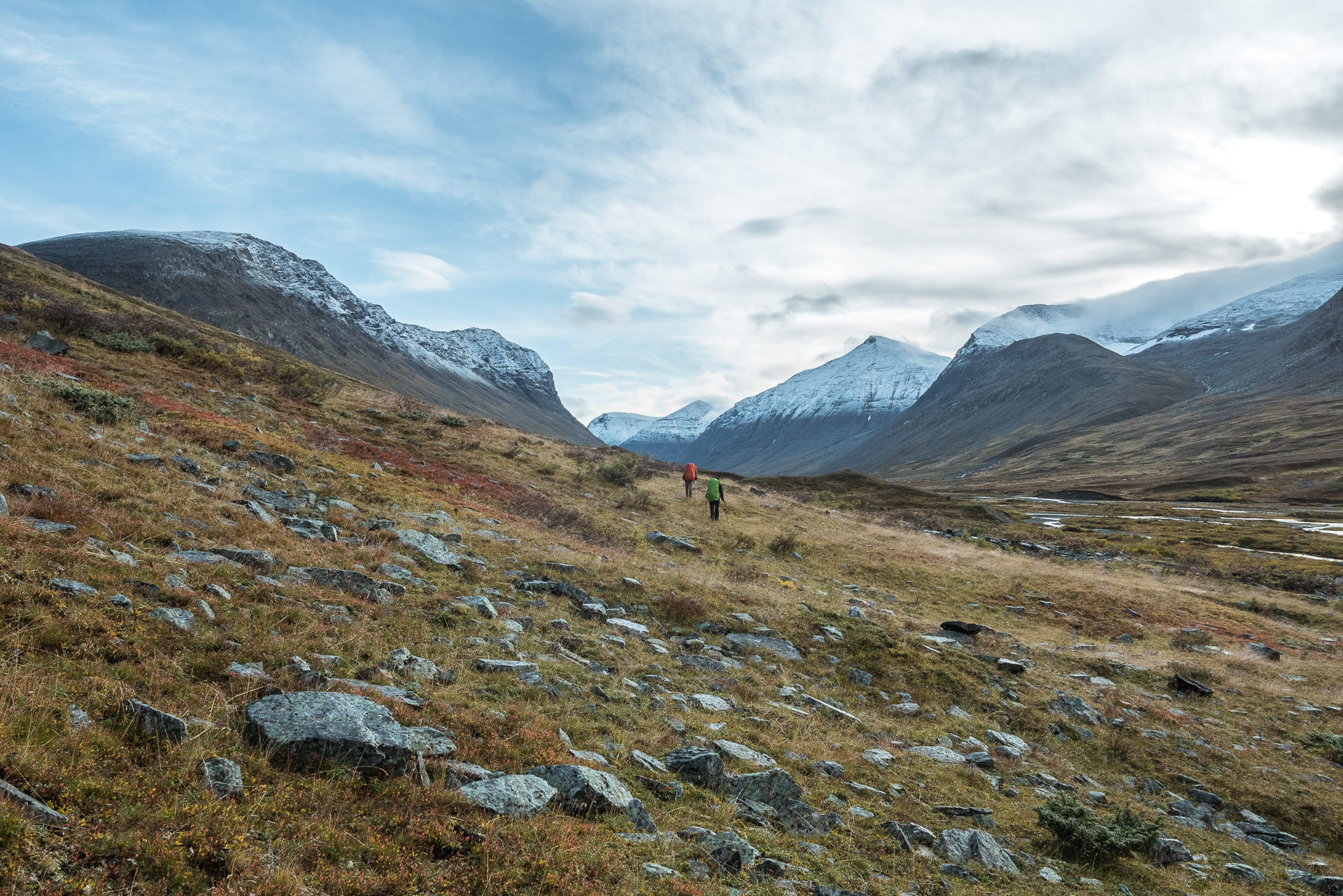
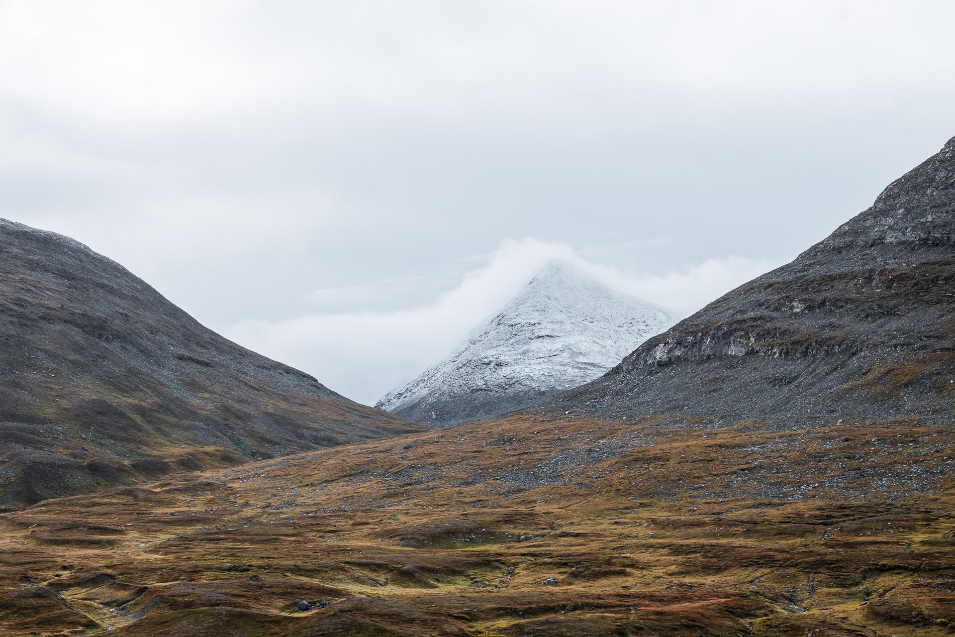
We will take the lunch break (at 11h …) on a small prominence and with a magnificent view of the valley towards the west with a large herd of reindeer below. Magnificent.
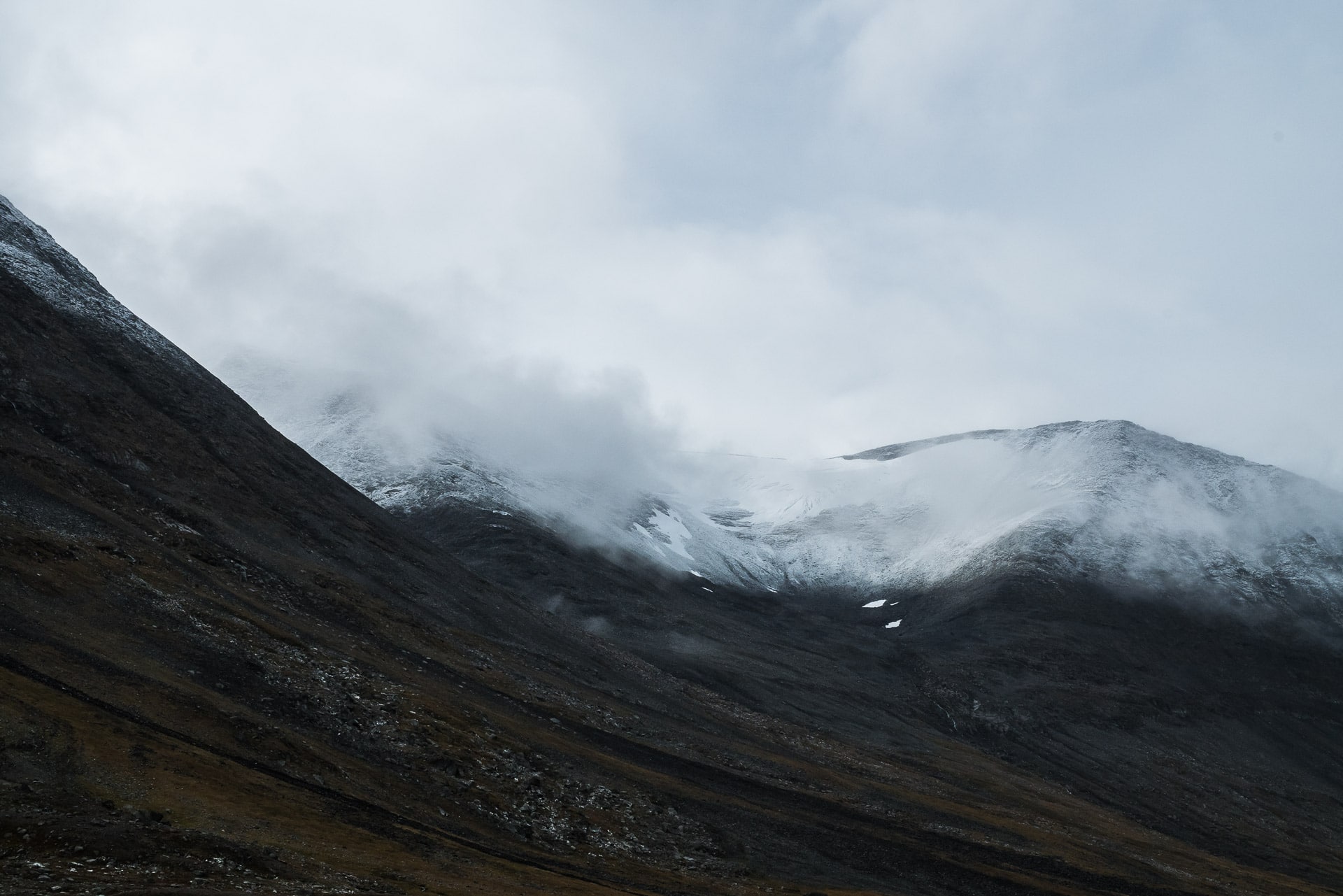
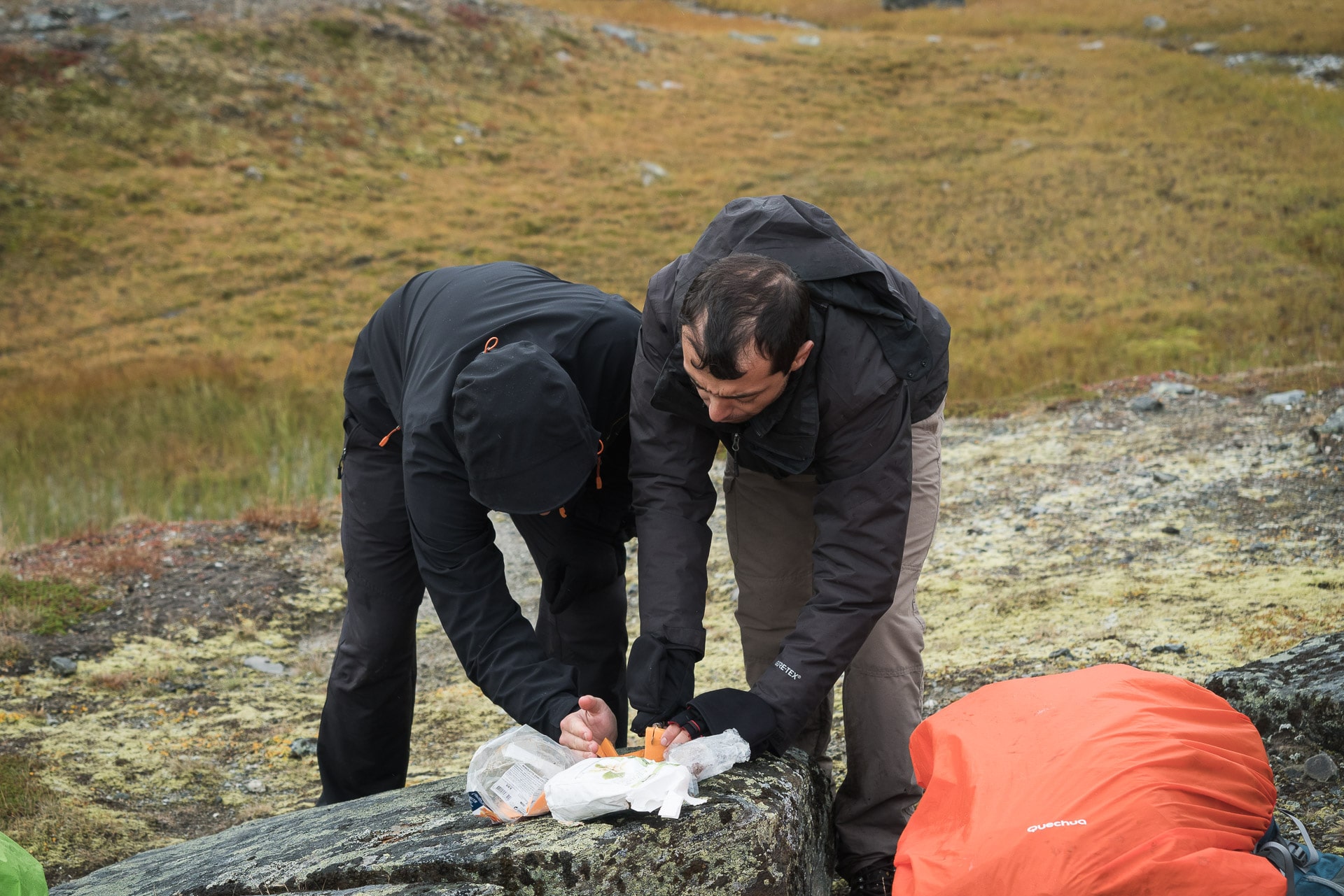
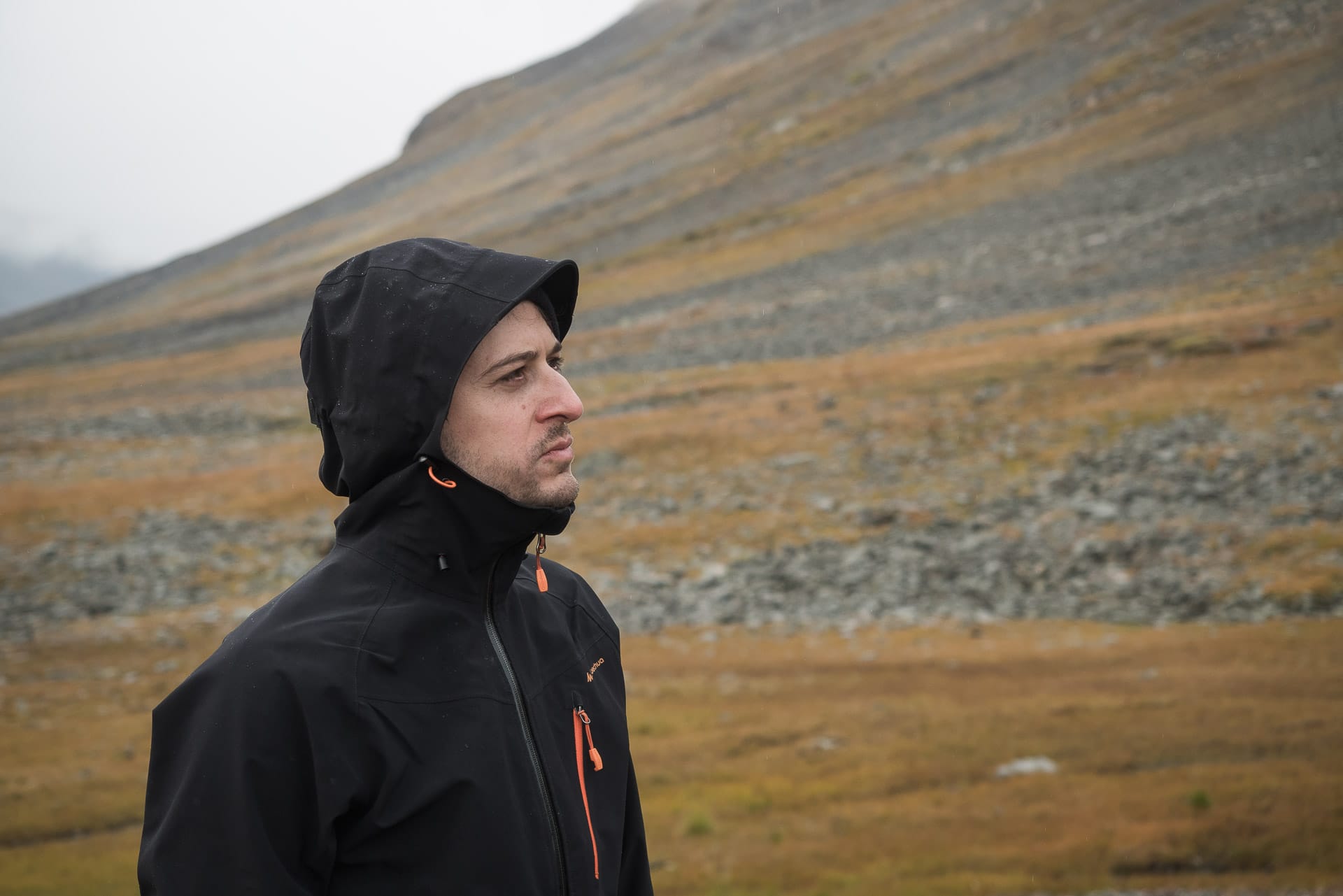
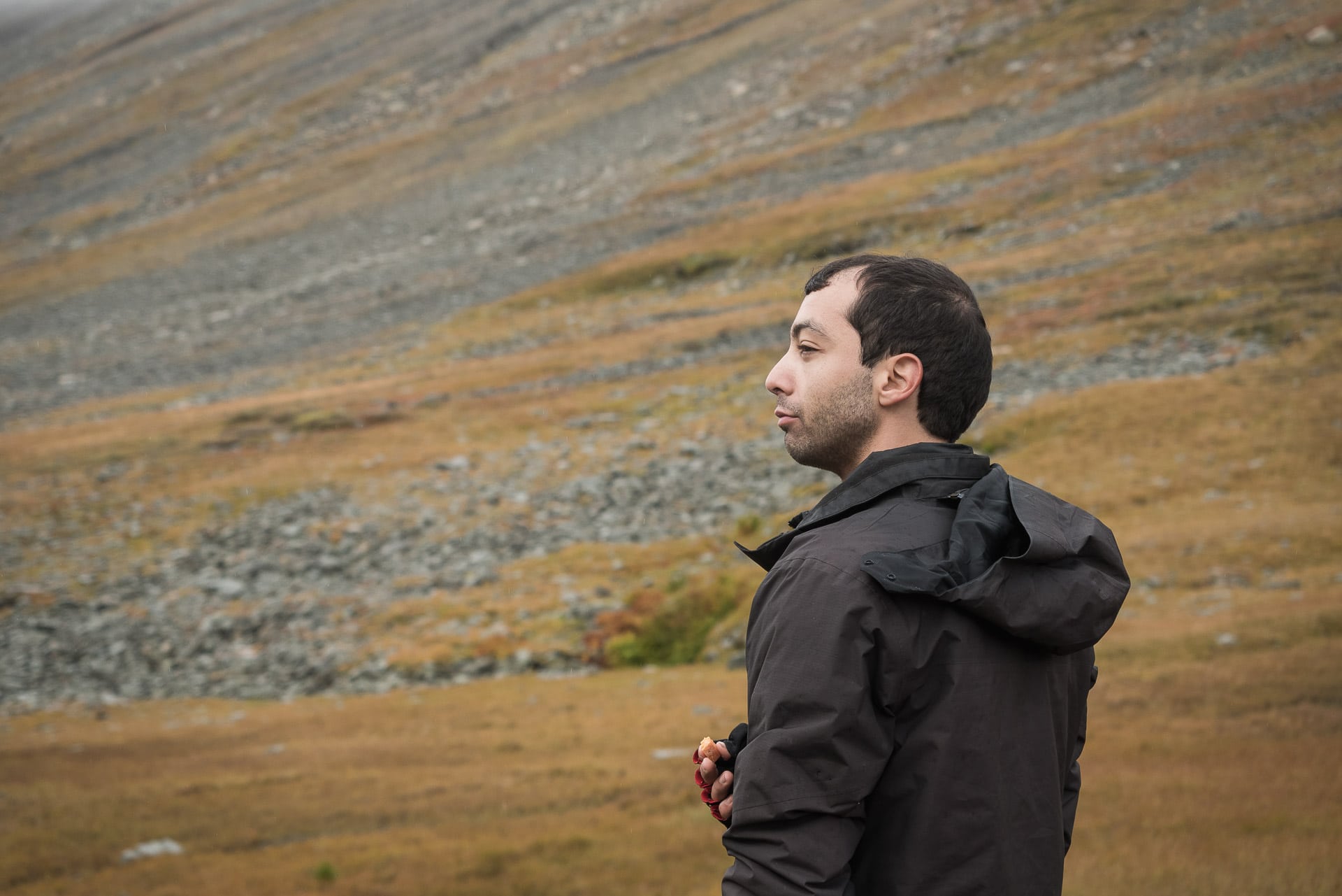
We begin the descent on the west side of the valley. In the distance the snow-capped peaks and glaciers of Mihkatjåhkkå and Māhtujåhkkå.
The descent is easy and beautiful. Do not cross the Ahkavegge, on the contrary at this level stay on the left of the valley (north side). You will see in the distance a Renvaktarstuga, that the semblance of path crosses on the left. We will cross here a beautiful herd of reindeer curious enough to come to about thirty meters.
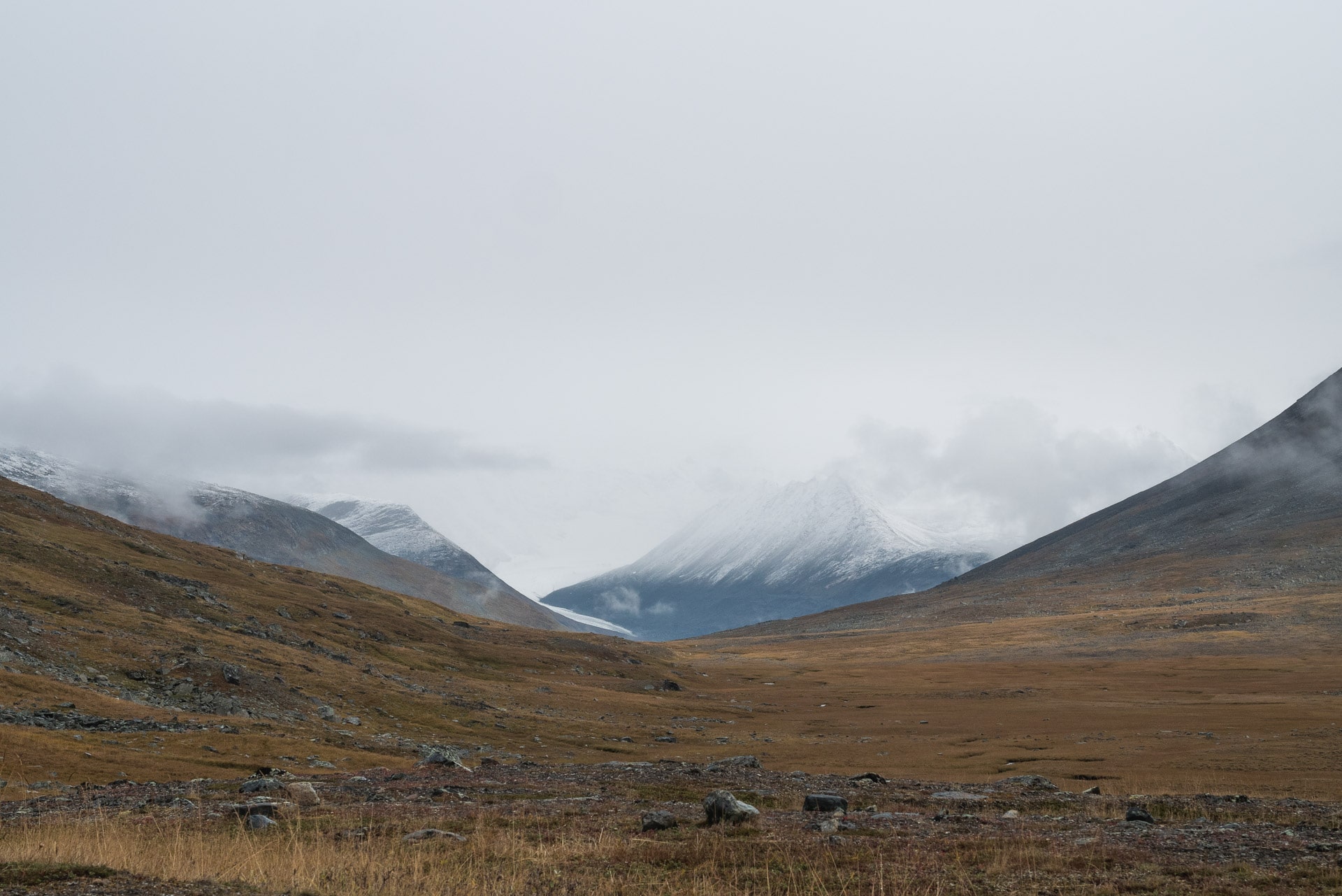
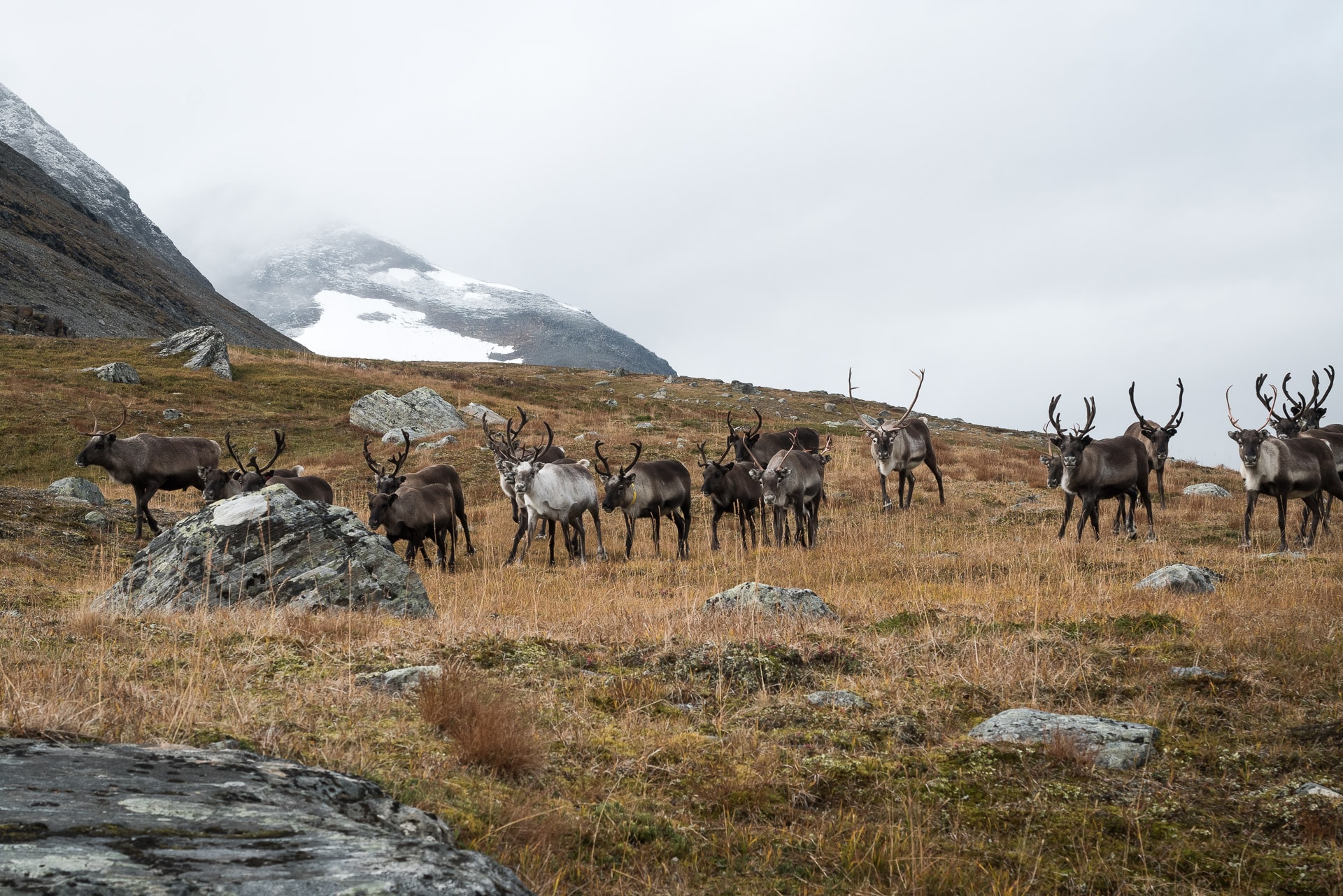
The confluence of two valleys offers a magnificent landscape. It’s superb, that’s what we came for.
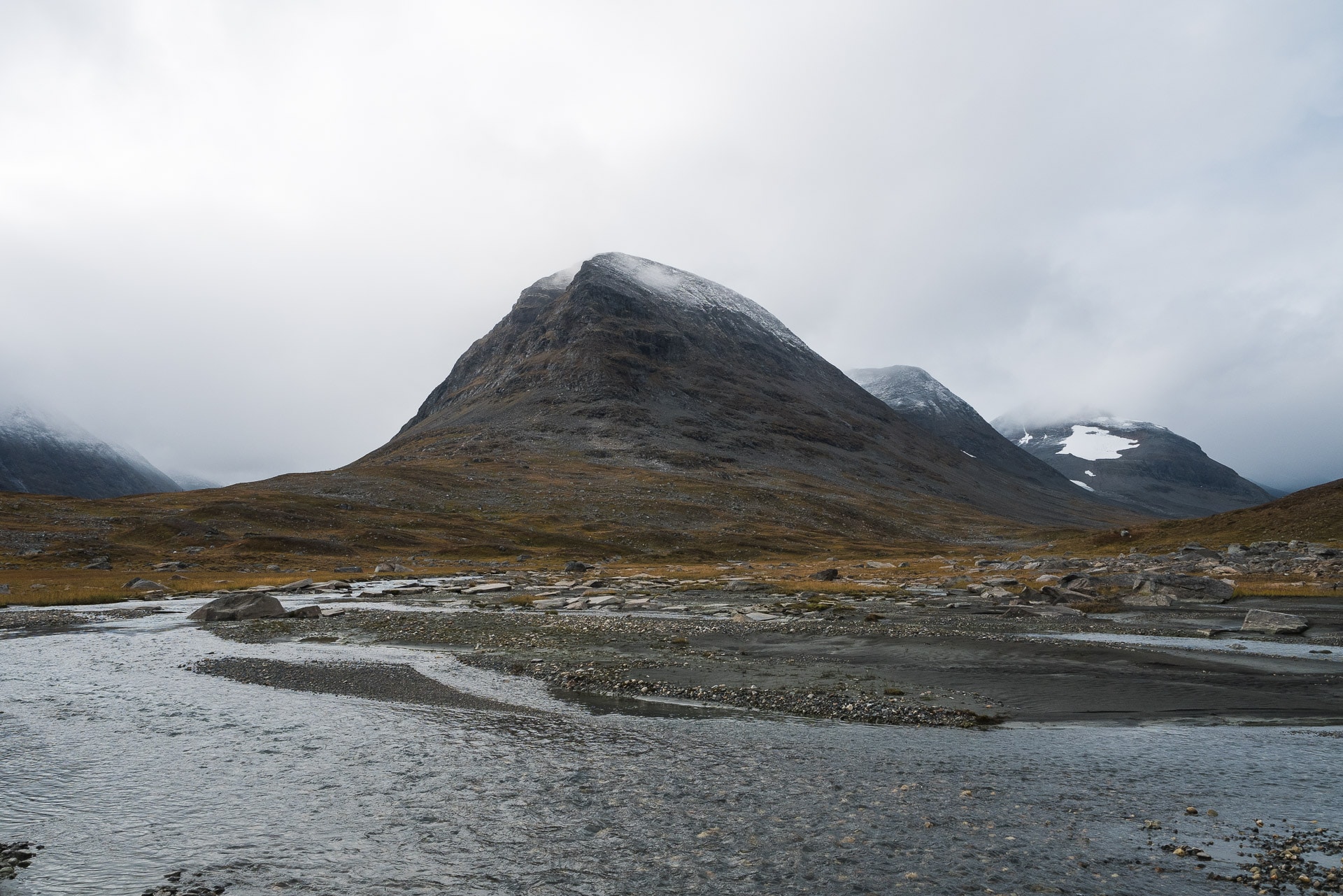
We arrive after this beautiful meeting to a potentially delicate passage: the crossing of the Guohperjåhkå. Do this “under” the reflaktarstuga, there are cairns that indicate the passage. Once again, our crossing was made easier by the low level of the river but in spring it must be another pair of sleeves!
The continuation of the progression will be relatively boring especially that it drizzles! There is not really a well marked path, at most reindeer tracks … Try to stay on the heights it will be easier to move forward. In any case after a while, we finally see the little hut next to the bridge that allows to cross the gorge of Skàrjà. I’m happy we did not get very far, we improve in navigation. I can not wait for it to arrive because Quentin has a lot of pain in his knee, he has to rest it.
The descent to the hut will be fast. This one is stupid but there is the essential: a table, two benches and a space of “storage”. By cons not enough to sleep properly, so we put the tents outside because we stop here for today. The sun makes its appearance again after a little while. The corner is really beautiful because it is at the confluence of several valleys. At 360 °, summits, valleys and the raw beauty of the country Samis.
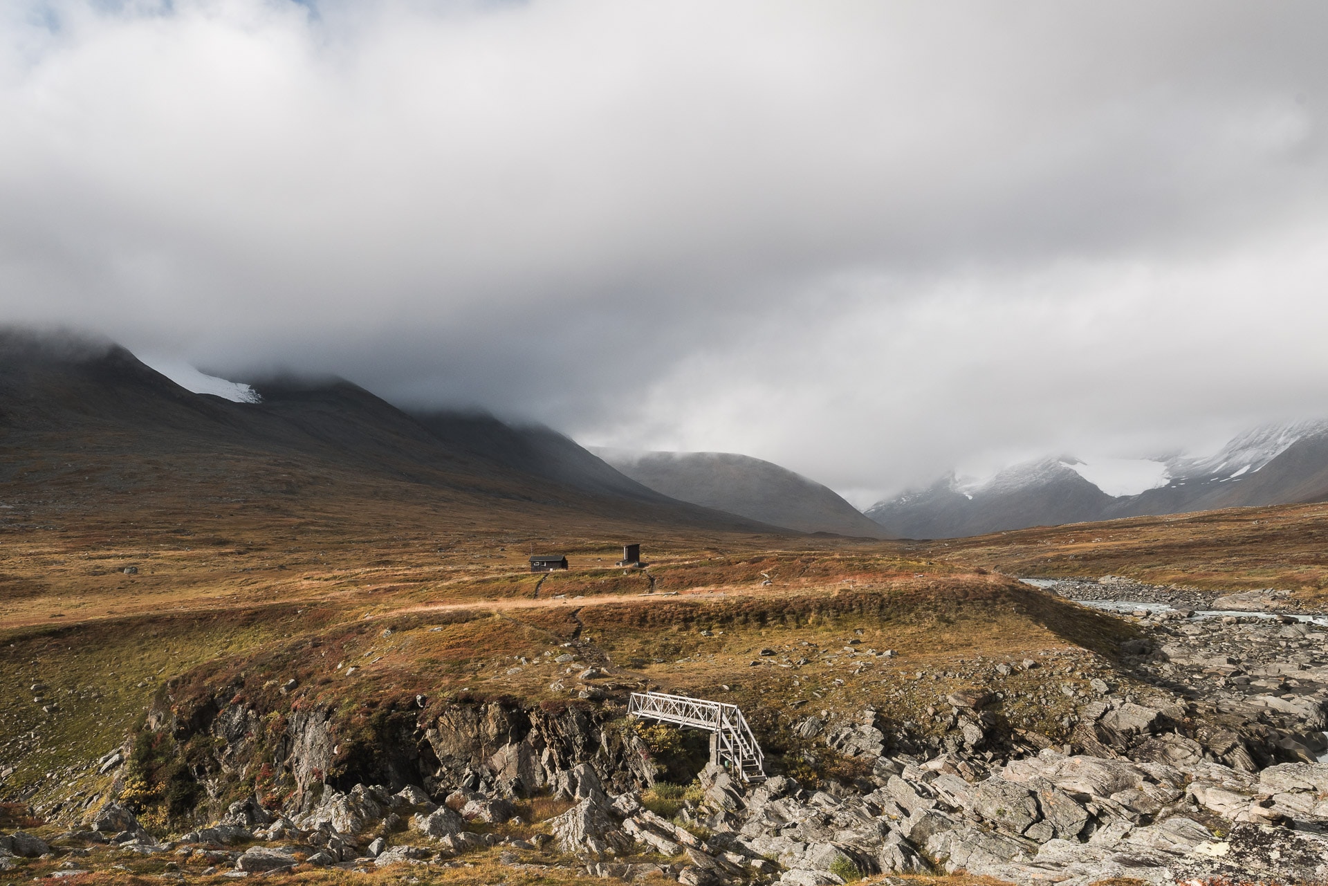
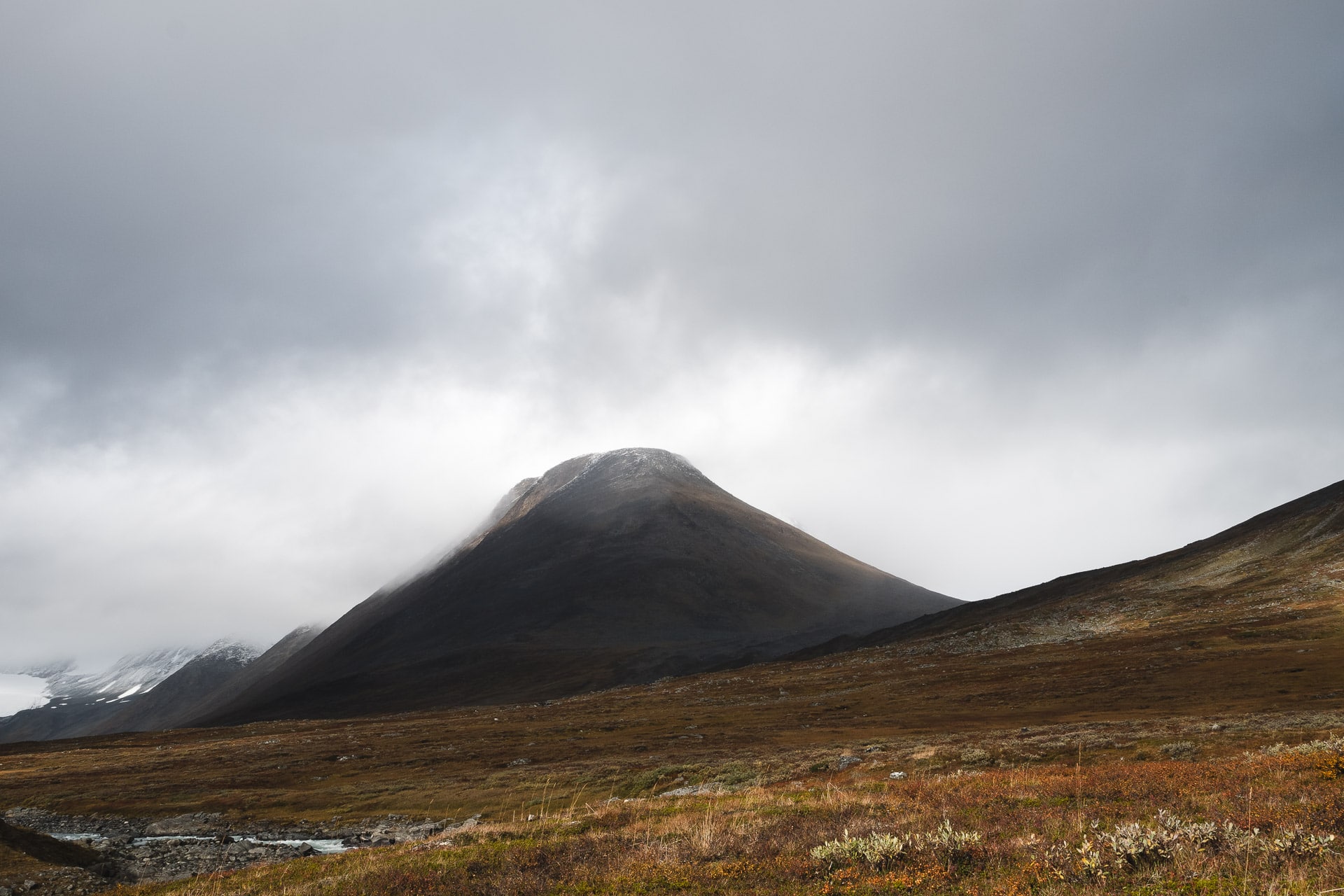
As I said we will stay here for the night. The place is beautiful, it is nice and then it will be good to be a little sheltered to eat and do the evening.
This little hut, Mikkastuga, is a real moment of relaxation and happiness in the trek, a breath of fresh air that allows us to find a semblance of comfort. So we will spend the end of the afternoon to warm up quietly in the sun or tidy up a little, clean, … We will have the visit of a Finn who walks for 2 weeks in the Sarek, to make summits, a colorful character but who knew the “job”!
The hours go by, the light changes continuously, I want to redo the same photo every 15min. That these great spaces are beautiful!
In the evening we will have a king feast: sausage, cheese, pistachios, the famous four-cheese freeze-dried fondue that has become a tradition of hiking, soup, chocolate mousse lyophi, caramelized almonds … What to redo the calorie stock for the next day !
We are well, it is cold but there is no wind which makes things bearable. We spend a little time playing cards before joining our apartments outside after some final night shots. This evening is the best I spent trekking and this bivouac (luxury) is one of the most beautiful of these holidays. That will have done us a good crazy in this middle of course.
I fall asleep happy, unaware of the horrible day that awaits us tomorrow …
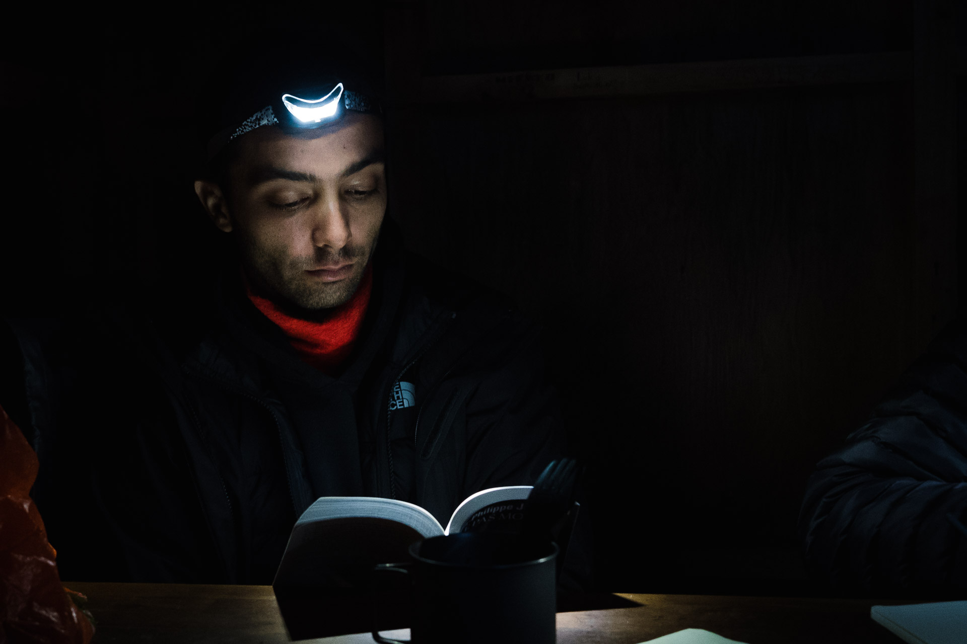
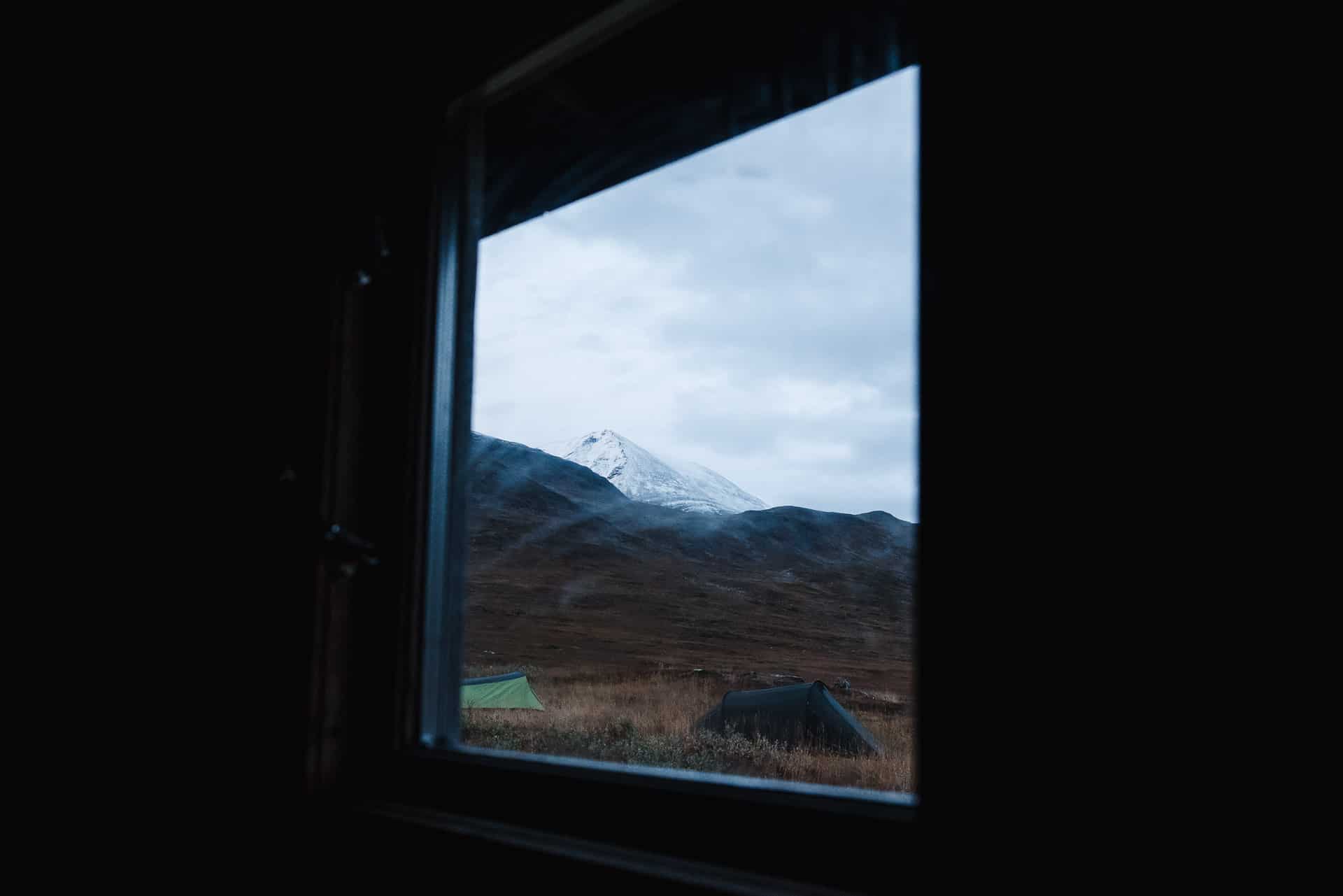
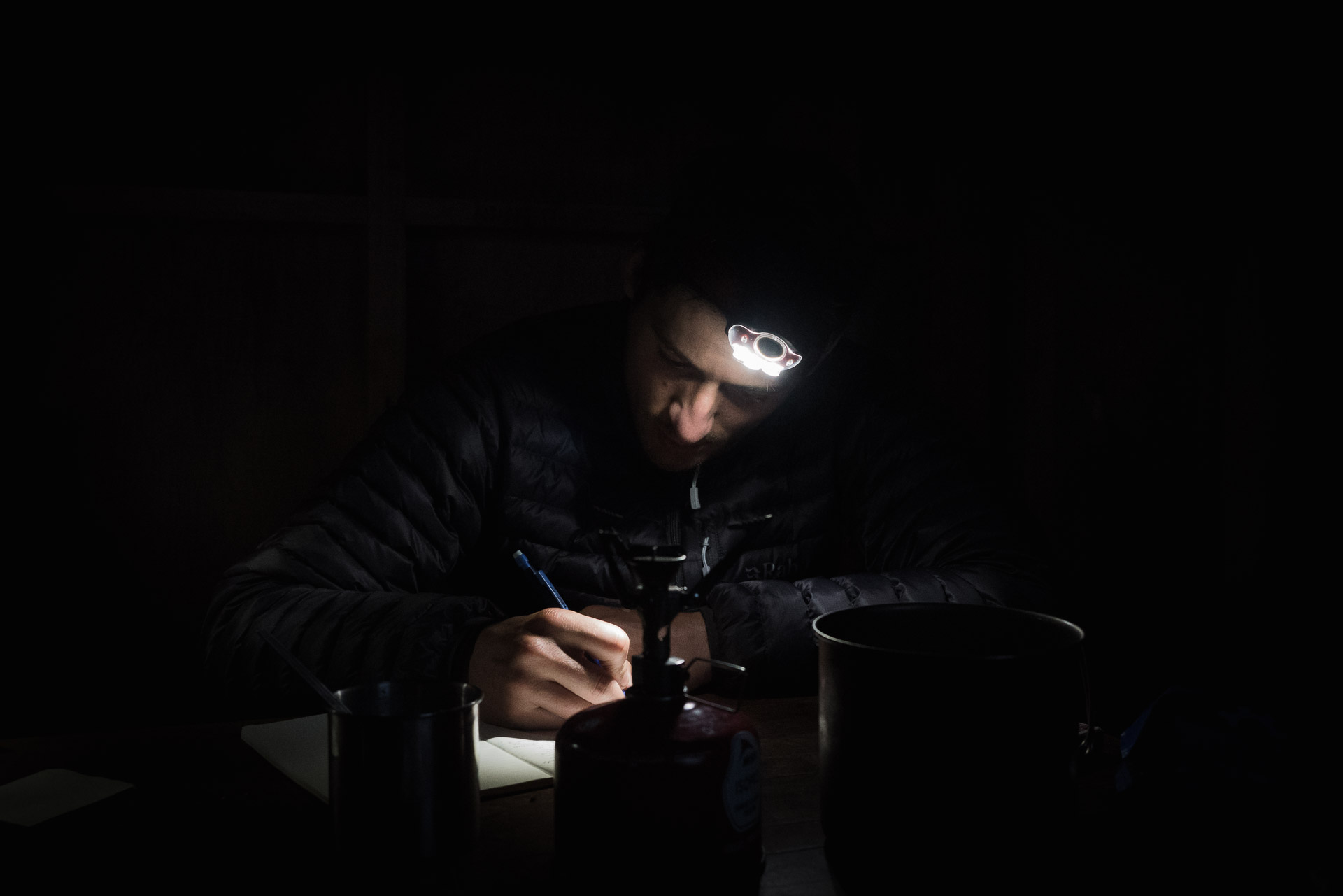
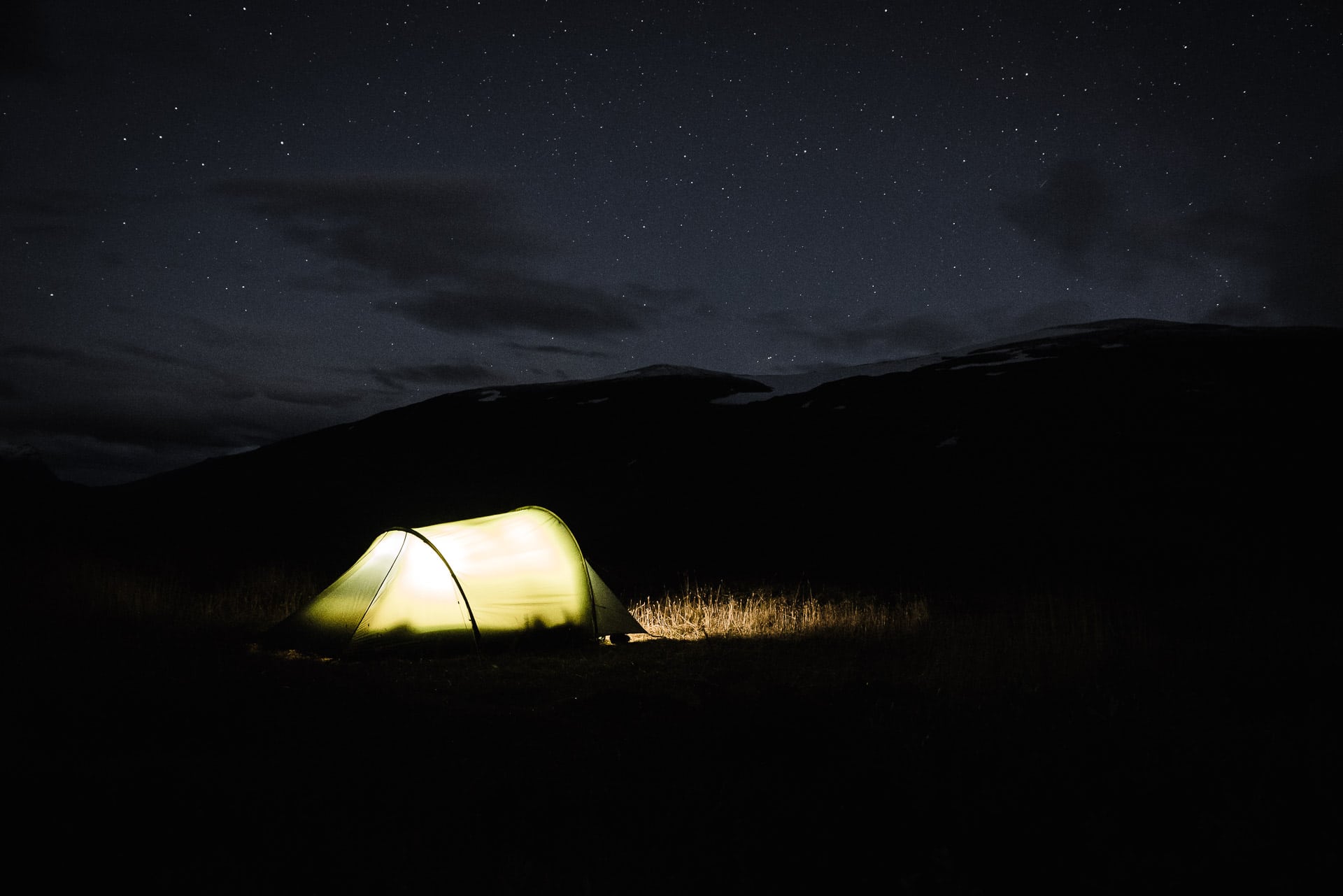
Day 6 - Horror
Morning rise and cold to change … At least it does not rain … for now. We fold the camp and we leave.
Here there is a path not too badly drawn, we lose it from time to time but we end up finding it in general. Quentin’s knee pulls a little but we took some gear to lighten his bag, it seems to stabilize the pain at least …
You will see this portion of the path is not complicated. There are three streams to cross, no problem for us but be careful in the spring. Only the Tjåggnårisjåhkå asks us to spend some time looking for a dry passage. The track forks after the river. You have to aim for the little prominence in the distance called Bielavàràsj (on my right side of the board).
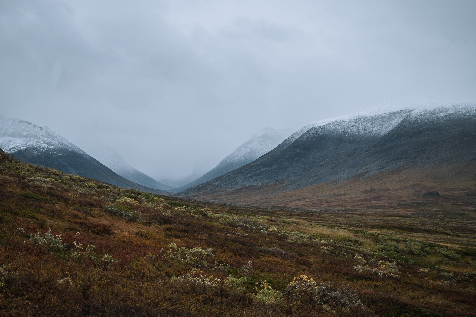
It is from this point that the rain returns. At first light, it becomes stronger as and when. For now it’s okay if the atmosphere is less pleasant. In any case the view is beautiful and the valley impressive. One last rainy photo before the beginning of the horror.
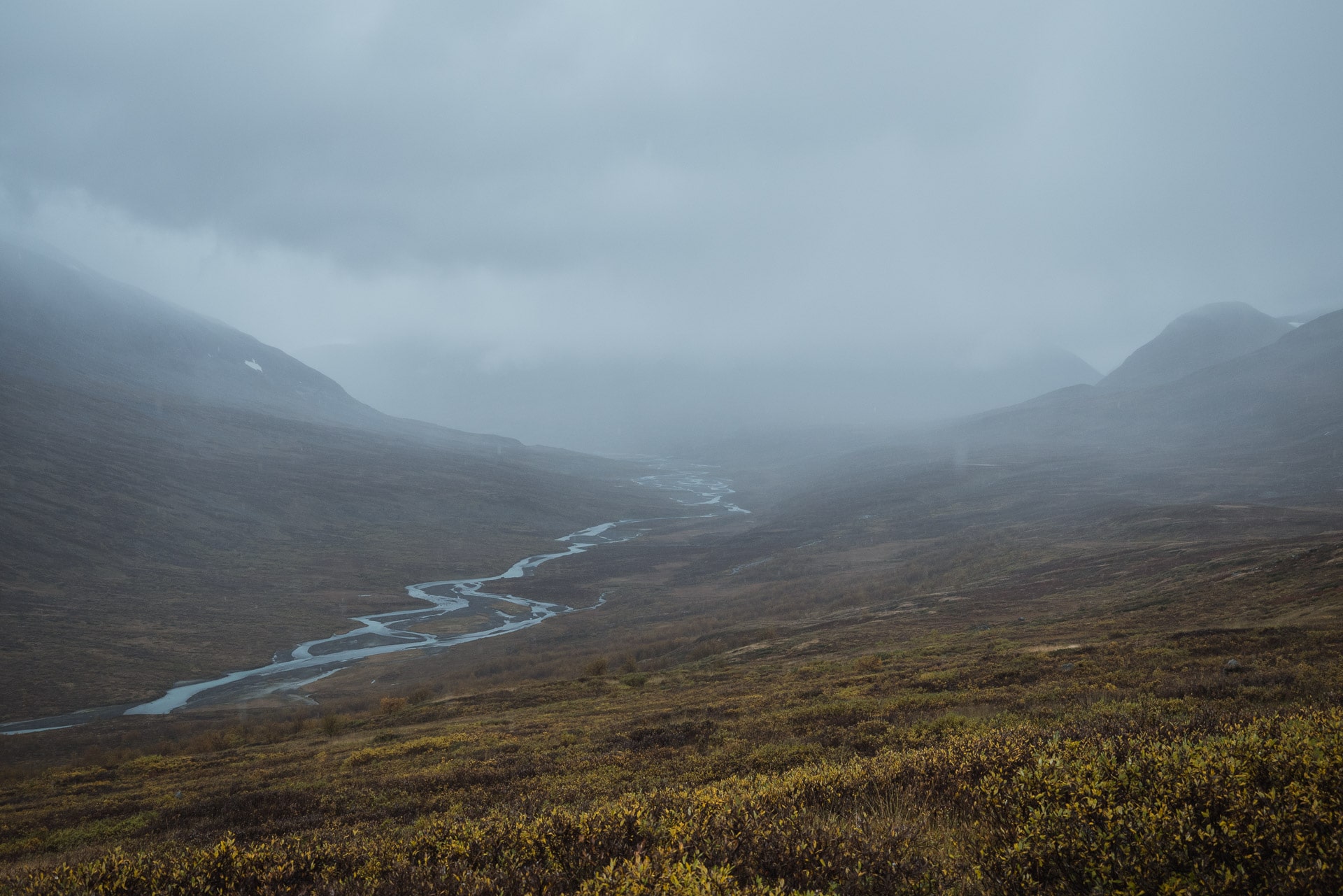
The rest of the way takes us to the technical part of the day. The path passes under the big cliff of Bieltjåhkkå. We meet a duo father / daughter who warns that it slides hard and indeed already it is smooth rock and rain does not help! To top it off, the water-soaked vegetation soaks our pants and the rain always falls harder. So we move in this passage by moving slowly because it really slips.
After 45 minutes, we start to get wet. We finally reach the plateau of Lake Sàvvajavrre and there we go to a whole new level. Already we are almost 1000m, the mercury has fallen well, but we have a strong headwind (about 50km / h) and we are in the clouds. So take rain, wind and a temperature around 0 ° C and you have the great combo. Quickly we find ourselves wet to the underpants (literally), the goretex gives up the game and we are immediately wet at the torso. Basically we are fully soaked!
Then starts a long moment of struggle, we lose our temperature extremely fast, so we start to walk like crazy. Heads down in the wind, we advance as quickly as possible to warm from the inside. We do not talk anymore or just some jokes from time to time to warm up the atmosphere.
We will talk about it together next but I can tell you that at that moment we all felt extremely vulnerable in the middle. Already we are 60km from any civilization, the telephone network does not pass obviously and even if necessary the relief could not intervene by this weather. So we are all alone, walking like ghosts to escape this plateau that is literally sucking all traces of heat in our bodies.
Further, before attacking the descent, we will make the ghostly meeting of a group of reindeer posed waiting for the end of the storm. The descent sounds like the exit door of this hell of fog.
The few tens of meters of elevations remount slightly the thermometer but we are soaked and we stay cold. We continue to move forward. We will arrive quickly in a forest of sodden birches that will continue to wet us.
After long kilometers, we finally find a spot where to land. The camp is hastily mounted and we jump into our respective tents. Matthieu and I are in underwear because all our clothes are soaked. Directly under the cover of survival time to resume a few degrees. Quickly we dress with dry clothes (thankfully the backpacks have not (or little) taken the water) and we take refuge in our down.
It will take us 3 hours to return to a suitable temperature! The rain fell continuously for 7 hours. The “evening” around 17h it finally stops and it’s happy because we have to eat something hot to recover. So we go out “cook” in underpants because the pants are soaked. The clouds have finally risen and reveal a beautiful scenery. We spend a good time with our lyophi and the view. It’s crazy the speed with which we go from one emotion to another on a hike: we alternate between saying “but why are I fucking here? Why am I doing this?” at times of grace offered by a view, a hot little thing to eat or just a good joke. It is also that finally that one comes to look here, the simple things which have a real beneficent impact on you.
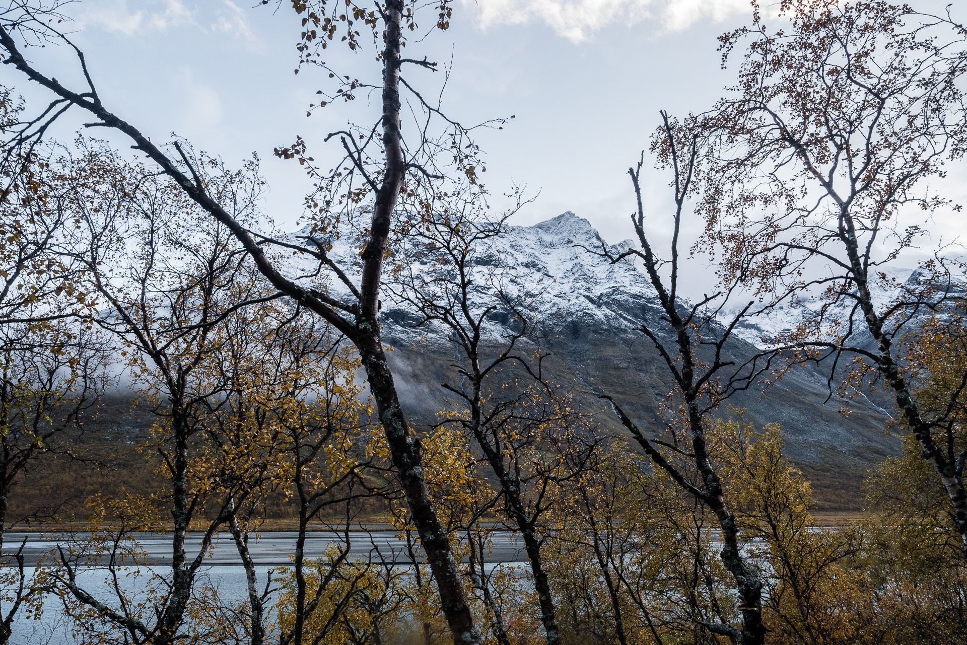
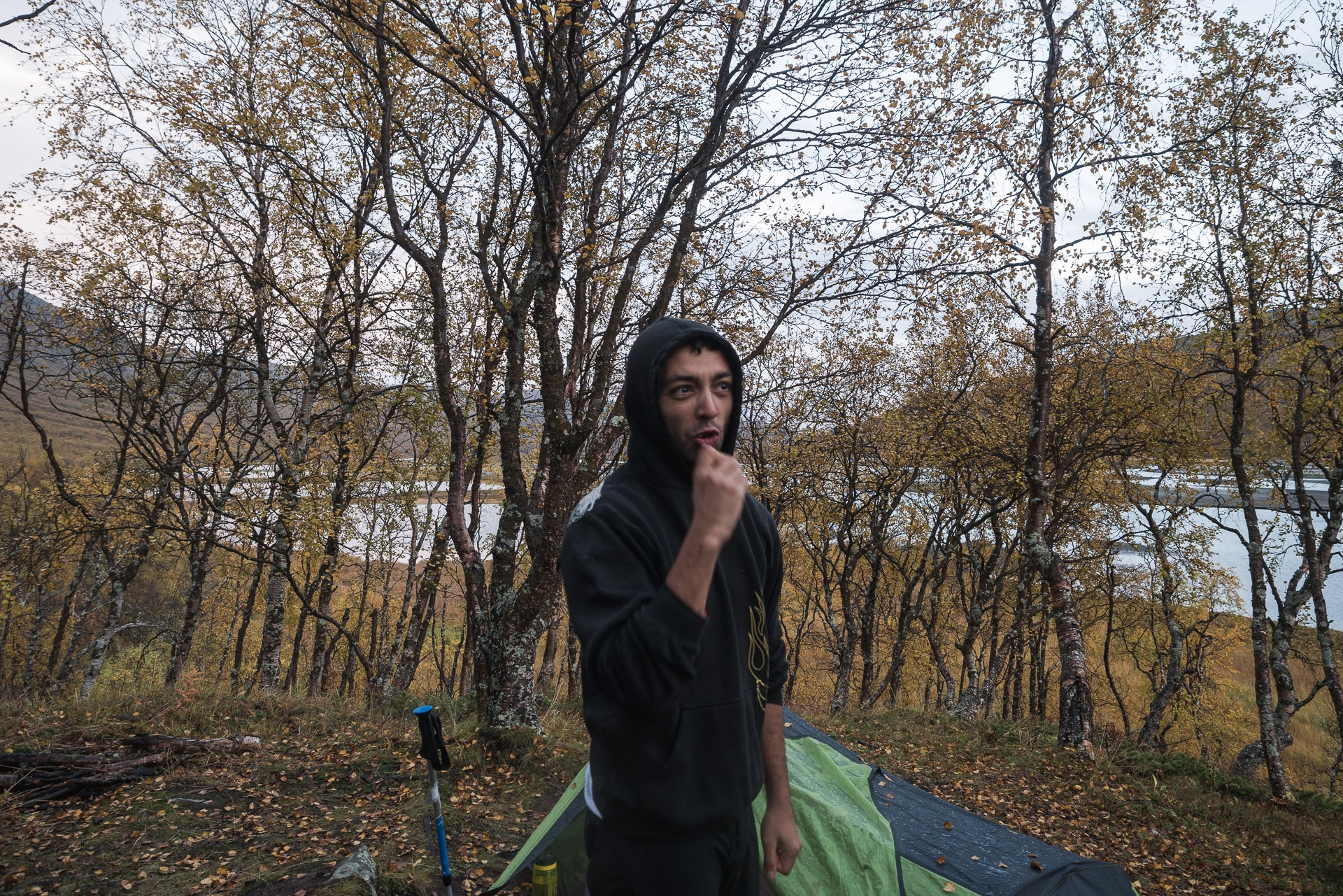
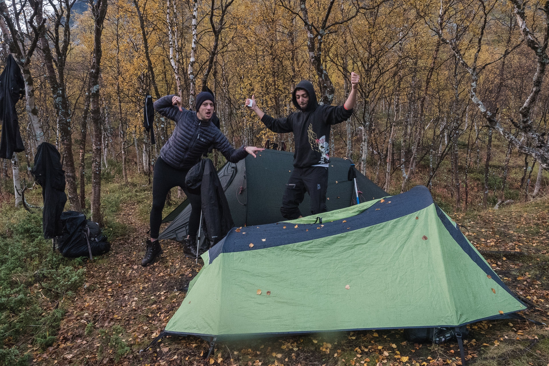
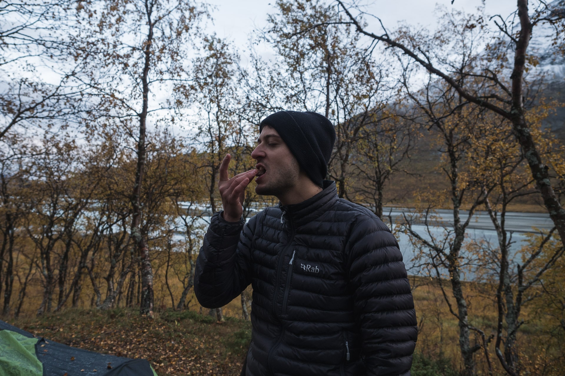
We will go to bed early, rain resuming in the early evening. Fortunately our sleeping bags are not wet.
This day will have been very rich in teaching, first and even if we know it is the speed at which a difficult situation can happen, it is also the fact that the water will always cross but it is especially the harshness of the climate here. This day changed our perception of this trek. We went from wild “walk” to engaged hike. Tonight we especially want to get out of here. Our arrival in Rapadalen will have been very sporting.
In terms of feedback, I think we have prepared too much in “French Mountains” mode. Sweden requires a particular approach especially in terms of moisture management. Afterwards, we will have to review some points. But let’s be reassured too, we overcame that and the Swedish father / daughter duo we met today will say to Saltoluokta (where we find them) that they had a lot of problems too and it was hard so good, if even experienced local galley, it’s ok!
In the meantime I fall asleep, exhausted, warm and listening to the rain outside. I hope it will stop by tomorrow morning.
Day 7 - Rapadalen
It rained again tonight but at least this morning it stopped … By cons everything is obviously wet from yesterday. I must admit that this morning I have no desire to get up and put on clothes full of water (pants, socks, …).
But hey … you have to go. We fold the camp and we start. It was not too bad recovery from the day before but Quentin still has bad left knee and the right one starts to make his too … it’s not good sign and we have 60km to go …
The beginning of the path is still and always in the dense and wet forest, we will not dry today … By road I hear a vague trace of track that seems to have been recently trod by a human given the few footprints that we find here and there. It is far from the beautiful Padjelanta and its 4-star layout. Here no boardwalk in the swamps, you have to go straight and up to mid-calves sometimes. And marsh level we are served today. Anyway to summarize we have the choice between the forest of wet birches, swamps and a bush dense to the height of man who whips your face … A real treat.
In spite of everything one progresses and the few passages close to the water reveal every time a splendid landscape with, in the background, the Gådoktjåhkkå all sprinkled with fresh snow.
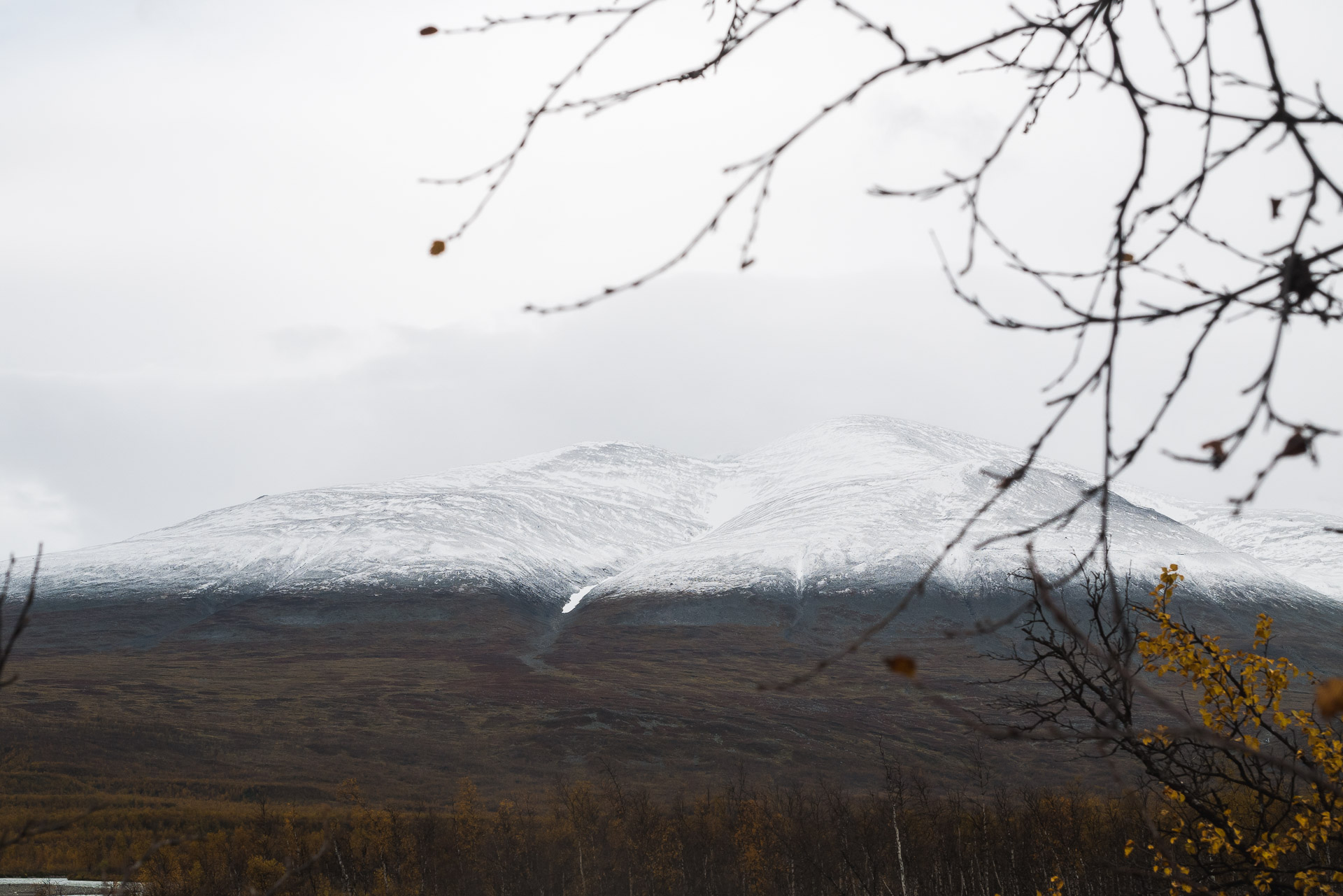
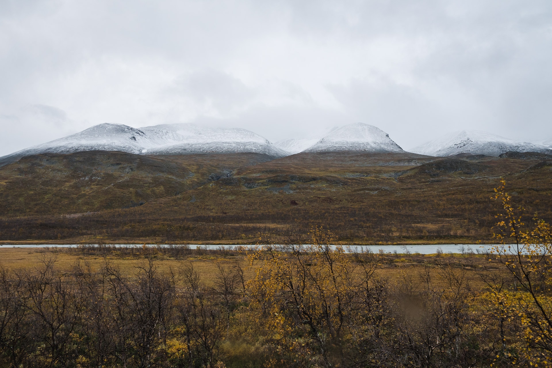
The further we go, the less the trace is visible. It often disappears in rivers and marshes.
Early afternoon, Nammàsj (pronounced Nammatche) is in sight, it’s our destination. We are trying to set up camp near the landing stage that normally leads to Akste but is no longer operational at this time.
We will reach our destination around 16h. We have a nice bivouac area and above all an incredible view of Rapadalen.
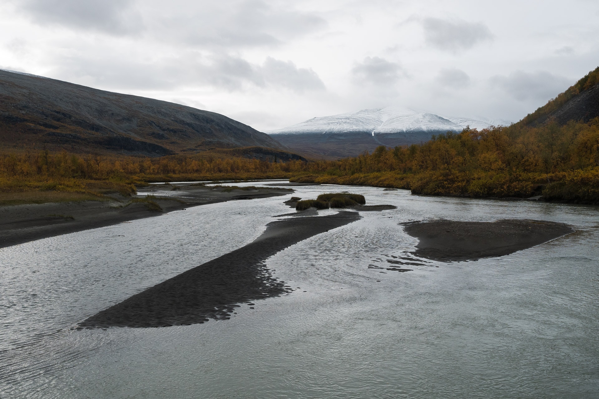
The camp installed, we s’atèle our classic tasks: drying business (we even have the chance to have the sun!), Photo, foot care … Moreover, when it comes to feet, mine start to get a little tired of being so wet that I have some open sores on the heels and a toe that starts gently to purge … but hey, when you walk 8 hours a day in swamps you must not s’ wait for better – we also meet a Swede later who had an interesting philosophy: “Get wet and accept” (Be soaked and accept it) …
We will light a small fire tonight. What to warm a little even if the wet wood does not heat very hard.
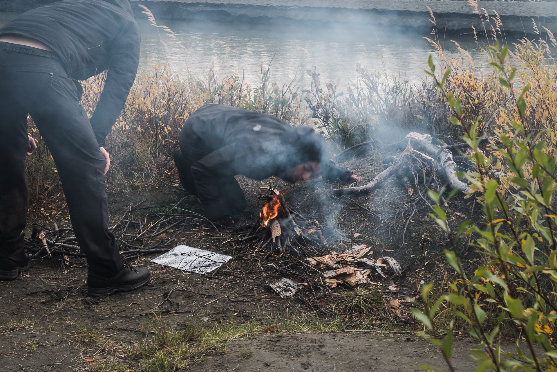
The day was good in the end and we made good progress despite the difficult terrain and the knee of Quentin. The bivouac is really beautiful and pleasant. Once again, the lights of the self make you want to take pictures continuously.
Because it’s freezing, we will soon be joining our down.
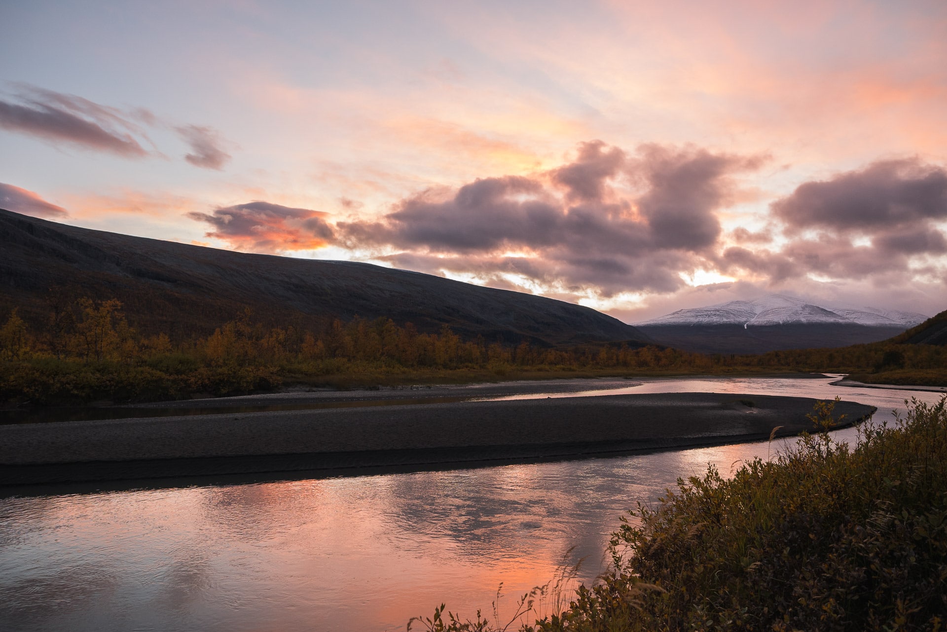
Day 8 - Skierffe, Kungsleden and Sitojaure
It was cold tonight! With Matthieu it was because we are two in the tent and we have good duvets but Quentin is well peeled. We had about -5 ° C. The funny thing is that since everything is soaked, and everything has frozen, even the shoes. So we have the good fortune to put good big blocks of ice right after the sunrise.
By cons who says cool night said pretty sunny morning atmosphere :
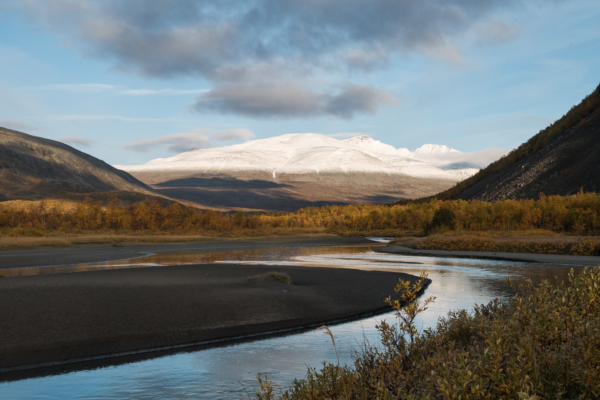
The first step of the day is to climb the Skierffe. Just 600m from D +, it is not huge but there is no way on this side which changes the situation in the end. So we start off trail through the birch forest once again relatively dense.
In order to find you I advise you to aim at the waterfall that descends to the left of the Skierffe. Following this course you will not encounter any major difficulties. There is just the Nammàsjjåhkå to cross but looking a bit you can find a watchtower.
We arrive quickly at the beginning of the climb which is done largely in the forest. The slope is quite steep and the lack of path does not help but by going quietly no worries. In addition, the view is more and more beautiful as one raises what gives balm to the heart:
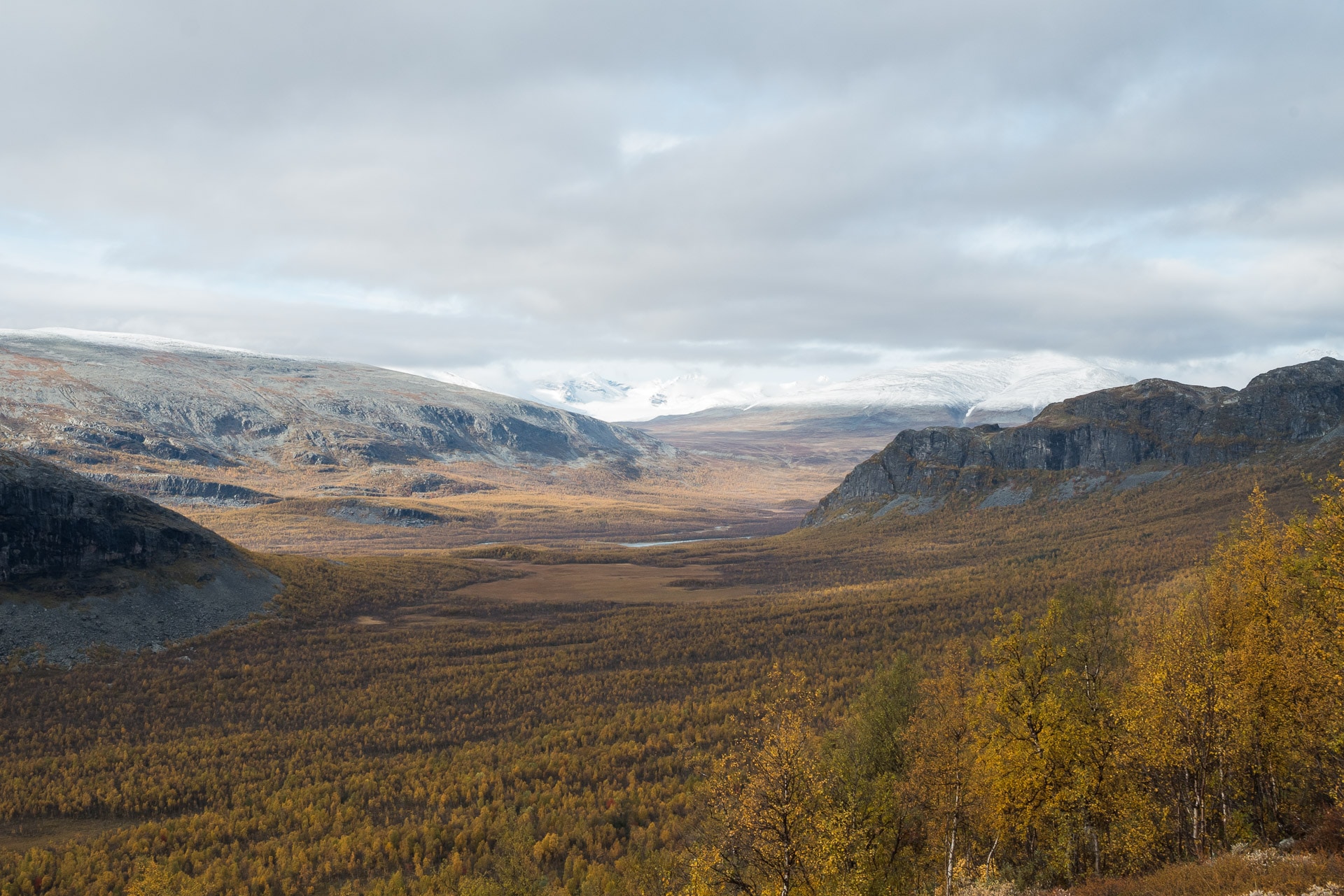
You will reach a “false” plane at the top of the climb where trees are scarce. Take direction to the right (full east) at this time. Once the cascade has passed from above, you start the long final slope towards the summit. I advise you not to walk too close to the cliff, already for safety but especially to have the surprise of the view when you reach the highest point of Skierffe.
And I must tell you that this view is absolutely beautiful! From above you kiss in a glance Rapadalen and its delta, Nammàsj very small down, Tjahkelij, the lakes of Làjtavrre and Tjaktjajàvrre, … It’s amazing! To the north you can also admire the large empty moors that extend to Lake Sitojaure. The Skierffe keeps its promises in any case and we are happy and far from the harshness of the last days. That’s why we walk: to see these unique and wonderful landscapes with our own eyes.
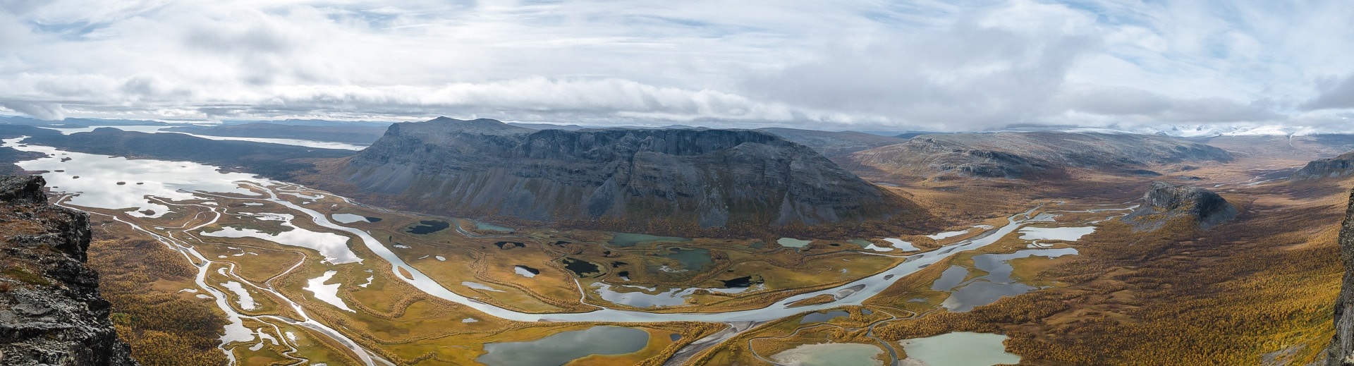
We take advantage of this magical place to make our lunch break. However at 1179m altitude it is cold especially in the Far North, we cool quickly being static. Still some photos and we take the road again.
The continuation of the path must lead us to the lake Sitojaure, for that we must reach the Kungsleden but the path goes down to Akste to go up. So we decide to cut straight past the Doaresoajvve. We find ourselves again off the trail in a very pleasant terrain walking freely. The landscapes are superb: tundra as far as the eye can see with a backdrop of great peaks all white.
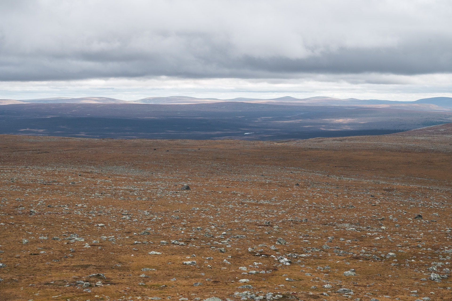
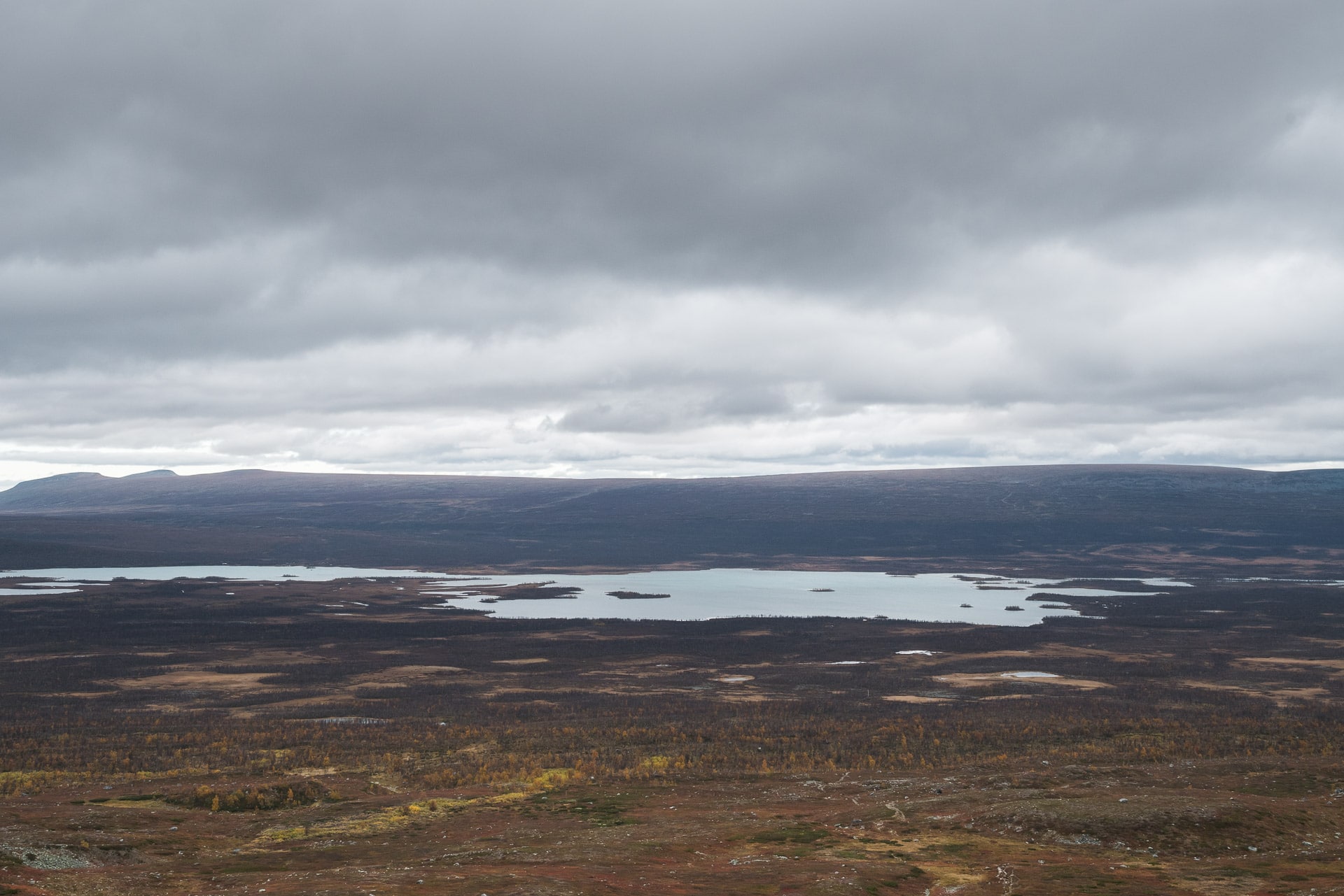
We finally reach the Kungsleden which seems to us a highway after these 7 days in the pampas: the path is wide, perfectly marked and marked up every 10m. In short we advance quickly on the end of the plateau and then in a forest / swamp relatively sad.
Around 16:30 we arrive in sight of the little cabin near the pier which allows to cross the lake. From here we can take a motor boat but as we do not have enough Swedish crowns on us (400Kr / pers), we say that we will row on the 4.5km except that … there a 0 rowing boat! There should be at least one except that no … It’s a problem!
Fortunately for us there is an American waiting for 1h the boat to pass the other side. We will wait until the driver arrives and see with her how we can arrange to pay for our crossing (euros, transfer, ..).
Then starts the wait, we do not know what time it will pass, there is just a word saying that it will … We wait while chatting with the American hiker, nibbling, improvising a petanque to pebble base, …
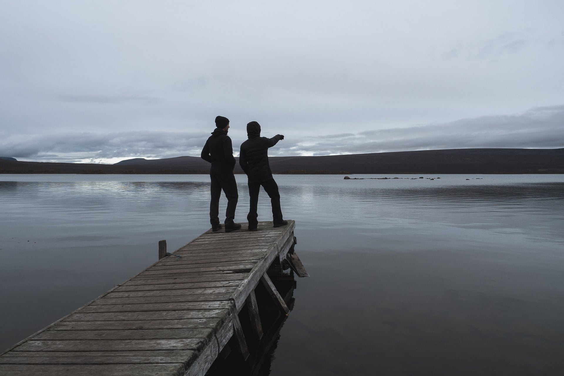
Time passes and is long, after 2 hours of waiting we begin to wonder what we will do ….
Fortunately, our pilot will arrive around 18:30. Fortunately she also accepts euros, so we will be able to cross tonight and not waste time. So we embark all four and left for 10 minutes crossing.
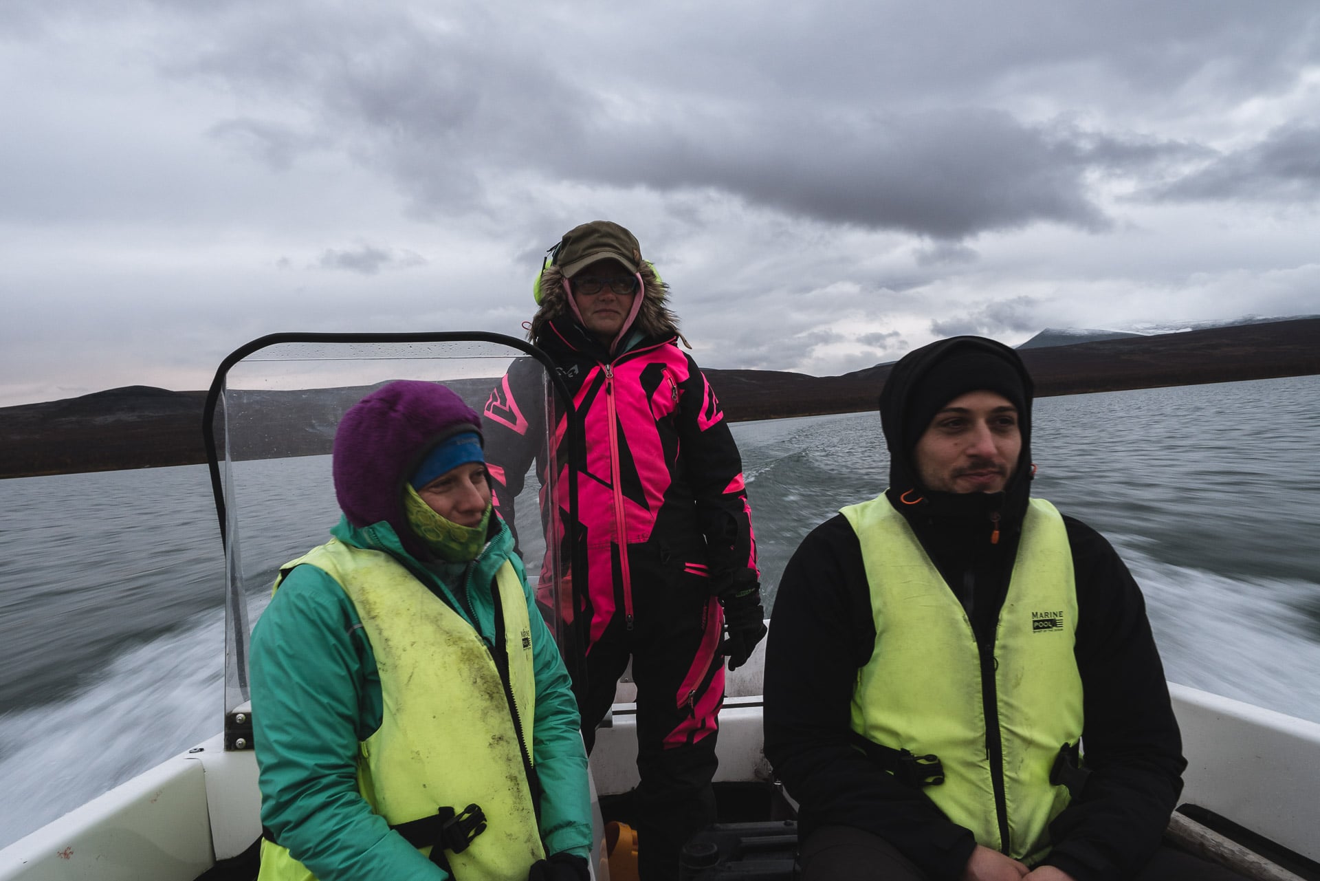
The distance is really long to the small village on the other side. I think that rowing is possible but it is a good step not to undertake if there is too much wind! And I’m not even talking about the case where you have to make an extra round trip to bring a boat to the other side. I advise you to prefer the passage with the motorboat even if it is expensive.
We arrive on the other side, we land and we take the time to chat with the pilot who is also a reindeer breeder. Initially we thought we would stay well at the Sitojaurestugorna for the night (a refuge) but she advised us to continue the road 3km further to bivouac and spend the 50 € of the night (500kr) Saltoluokta is more fun according to her.
So we take the road at dusk walking quickly to try not to arrive at night. The Kungsleden is still “rolling”, so we need just 45 minutes to cover the 3km to the bivouac near a water point.
It’s already dark when we get on camp. We will have the visit of a beautiful red fox, not afraid who will approach a few meters to glean a little food I think. He will leave after a while leaving us to our lyophi eaten in the light of the headlight.
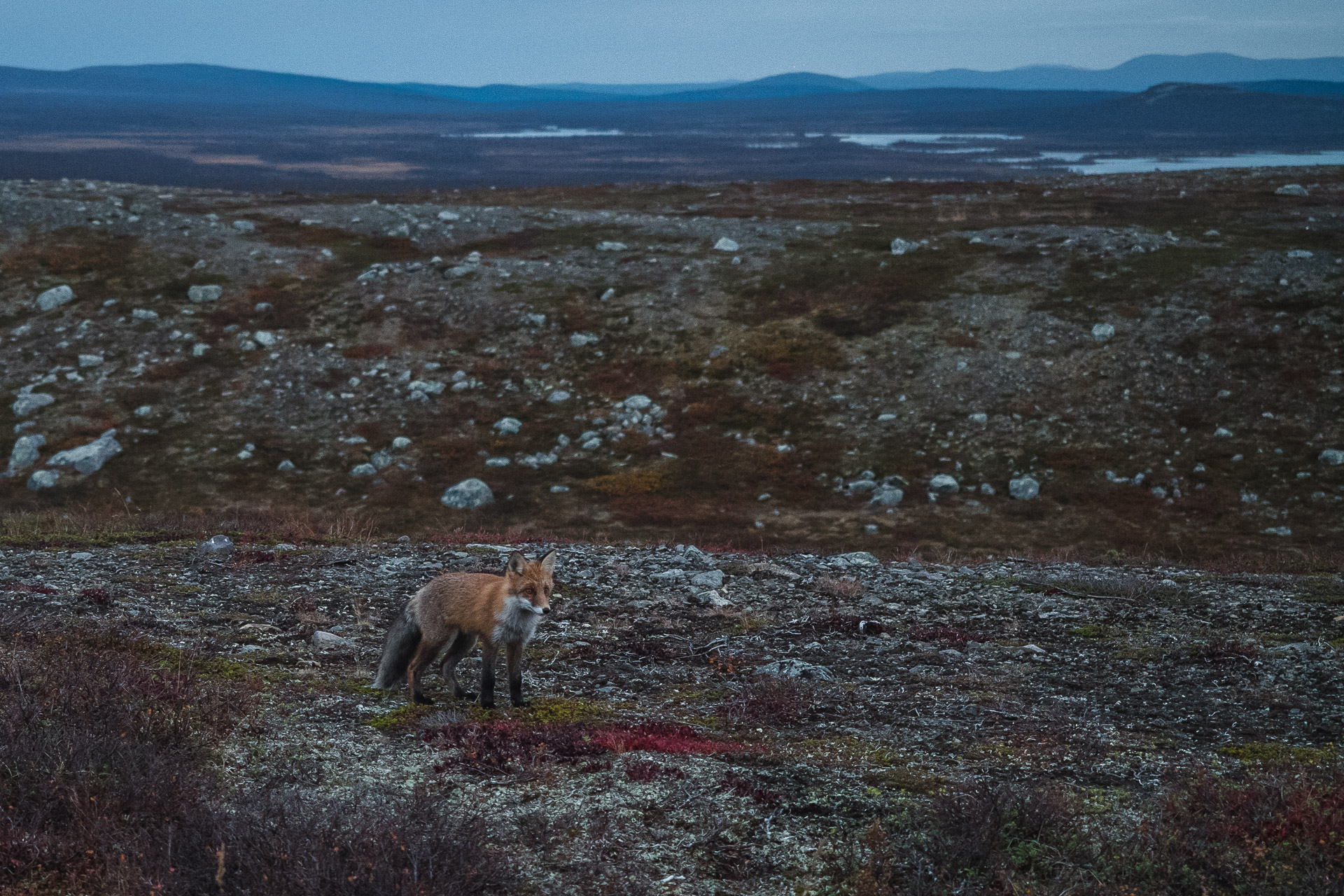
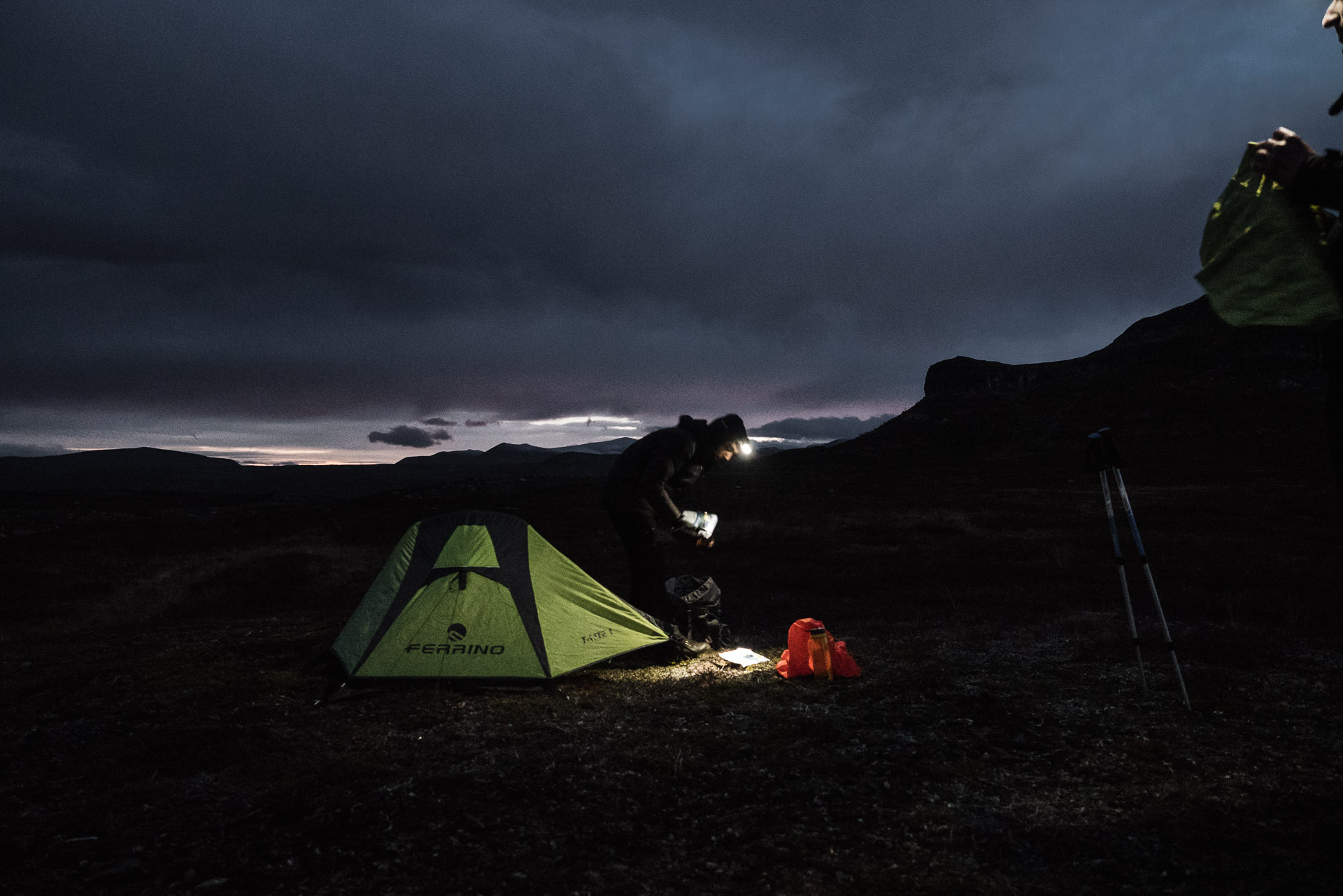
The sky is clear, it will still be cold tonight. We sleep for the last time in our tents because tomorrow is the last day.
Day 9 - Last day toward Saltoluokta
The mercury is still down well tonight as evidenced by the frozen tent awakening. The rising sun also reveals the beautiful landscape that surrounds us and which we could not enjoy yesterday. I love these early morning atmosphere where everything is calm and peaceful.
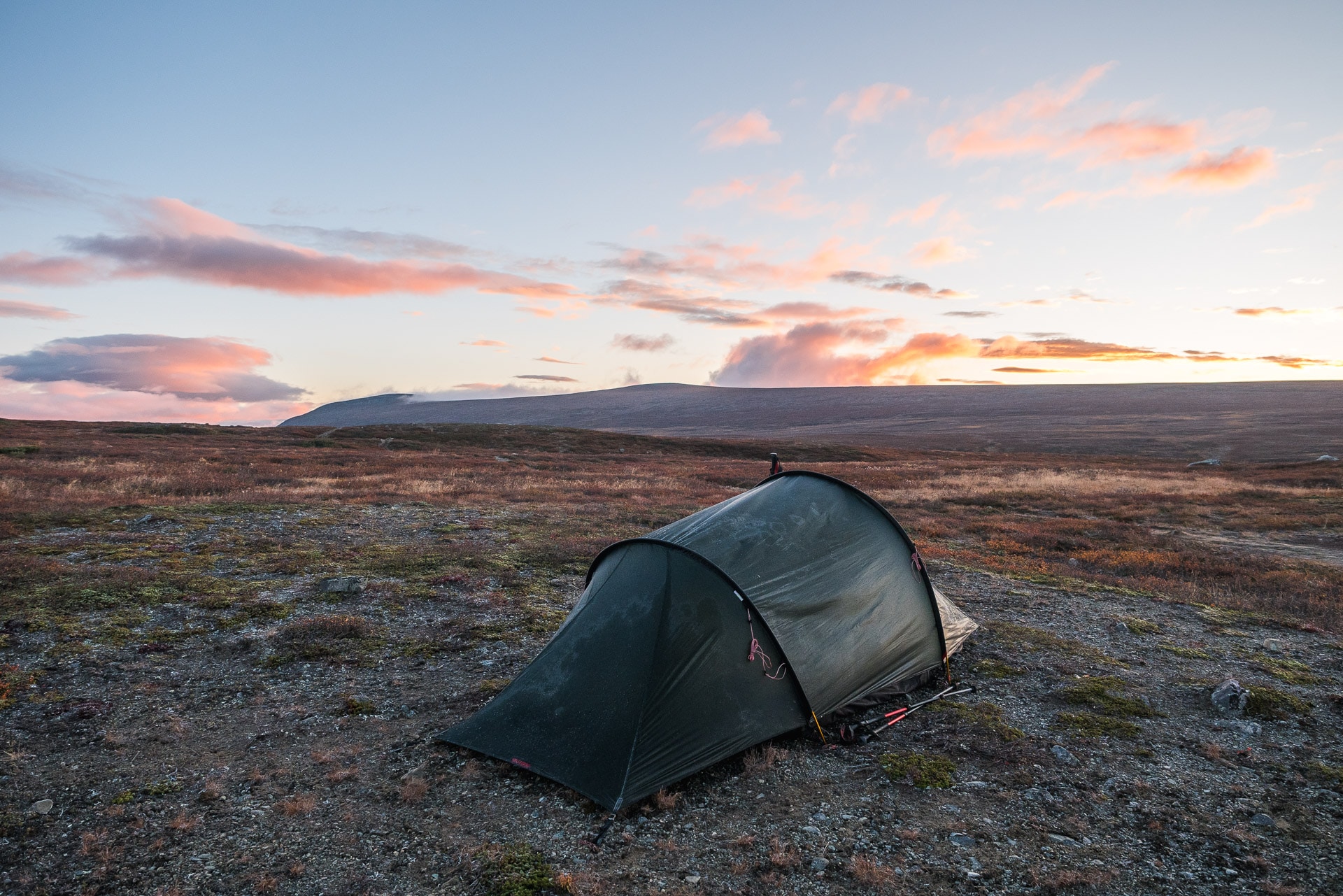
We fold the camp one last time and we take the road for the 15km that separate us from the Saltoluokta fjallstation.
The landscapes are really beautiful all along this stretch of road, moreover we are lucky to have a big sun today, the perfect time to finish the trek. It’s the first day without any rain.
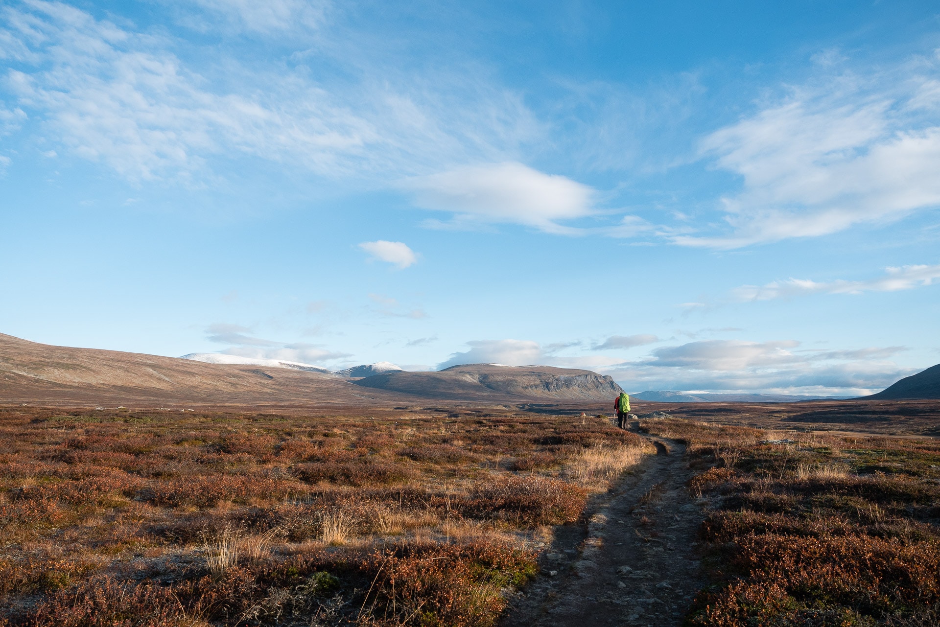
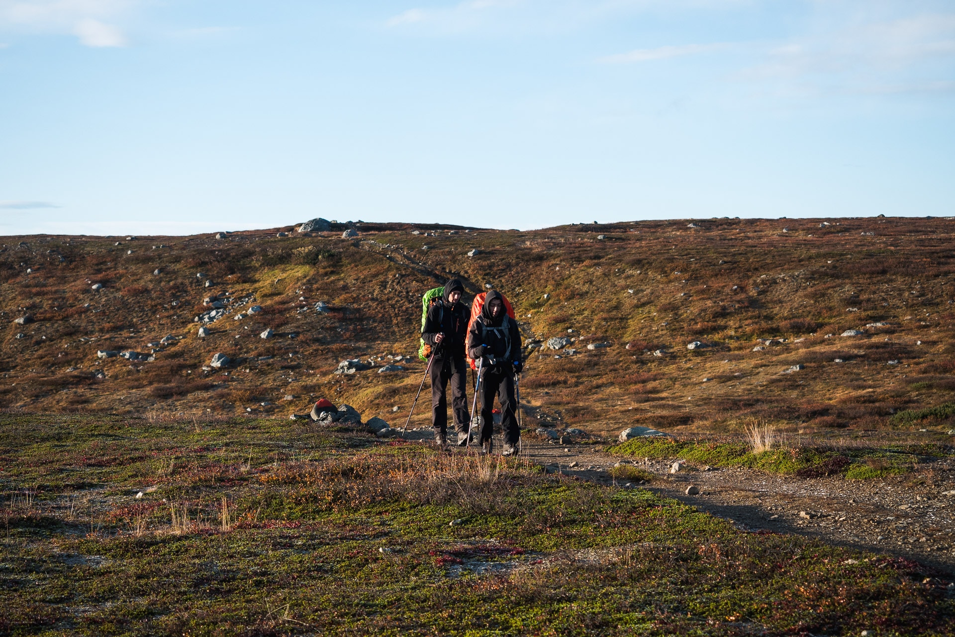
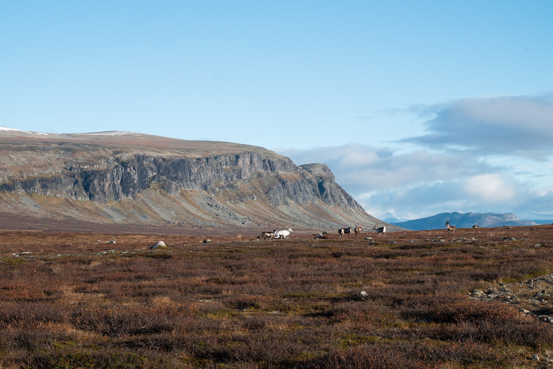
So we go forward the light heart happy to find the civilization after these 8 days not always easy.
It will take us only 4 hours to travel the distance that separates us from the “resort”, 4 hours of show offered by nature:
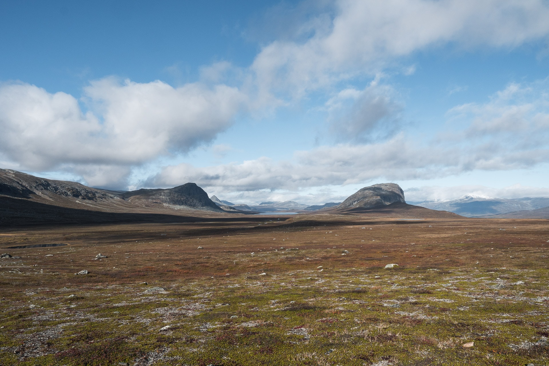
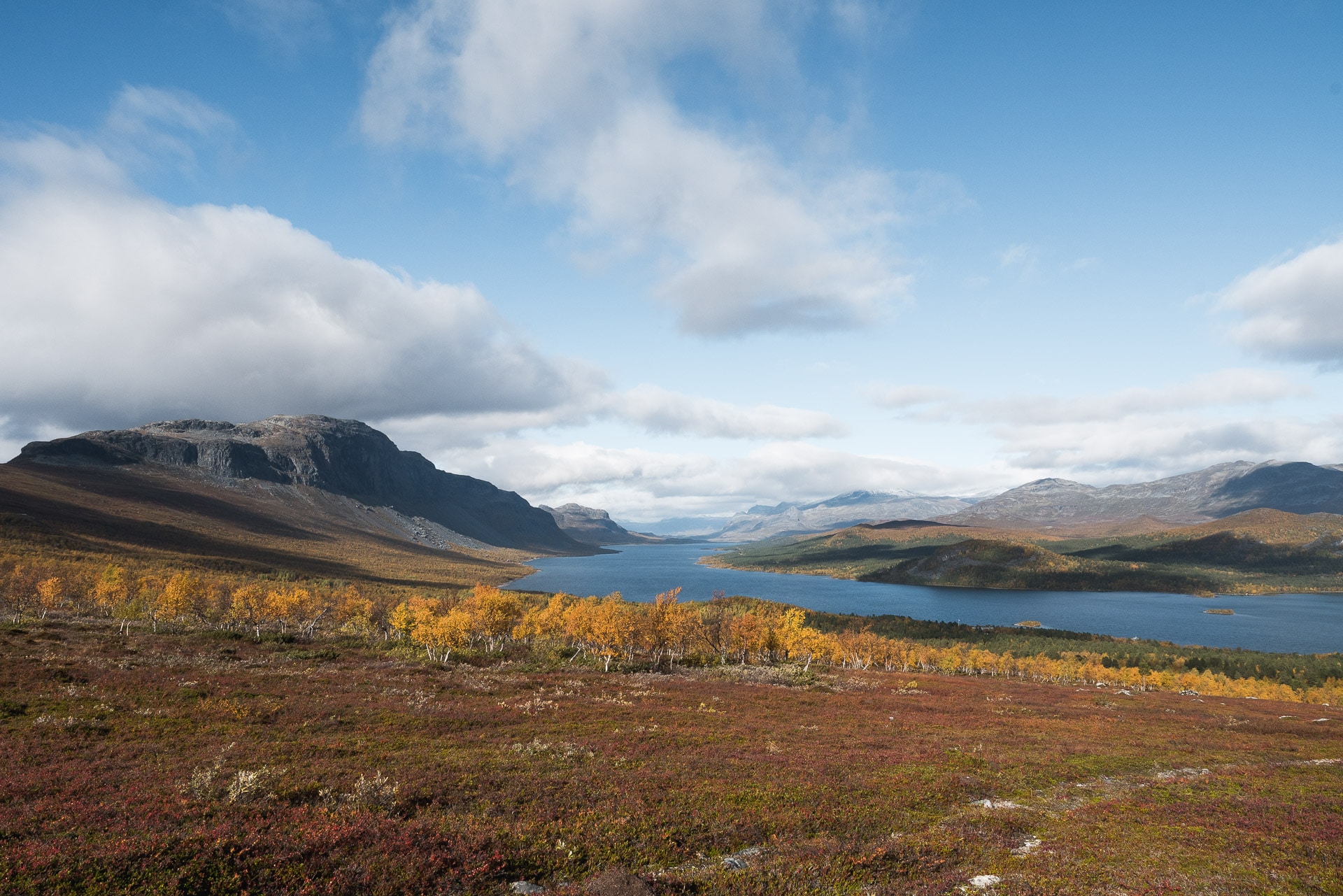
We will arrive in Saltoluokta around 13h. There are a lot of people here, it’s even surprising and a little destabilizing after a week having almost nobody. I always need a little moment to land …
The rest of the day will be shared between a small beer, a sauna tour with a beautiful view of the lake and the valley, a good evening meal (~ 25 €).
In the evening we will wait for the dawn and we will be rewarded by a beautiful show! A great way to finish this trek.
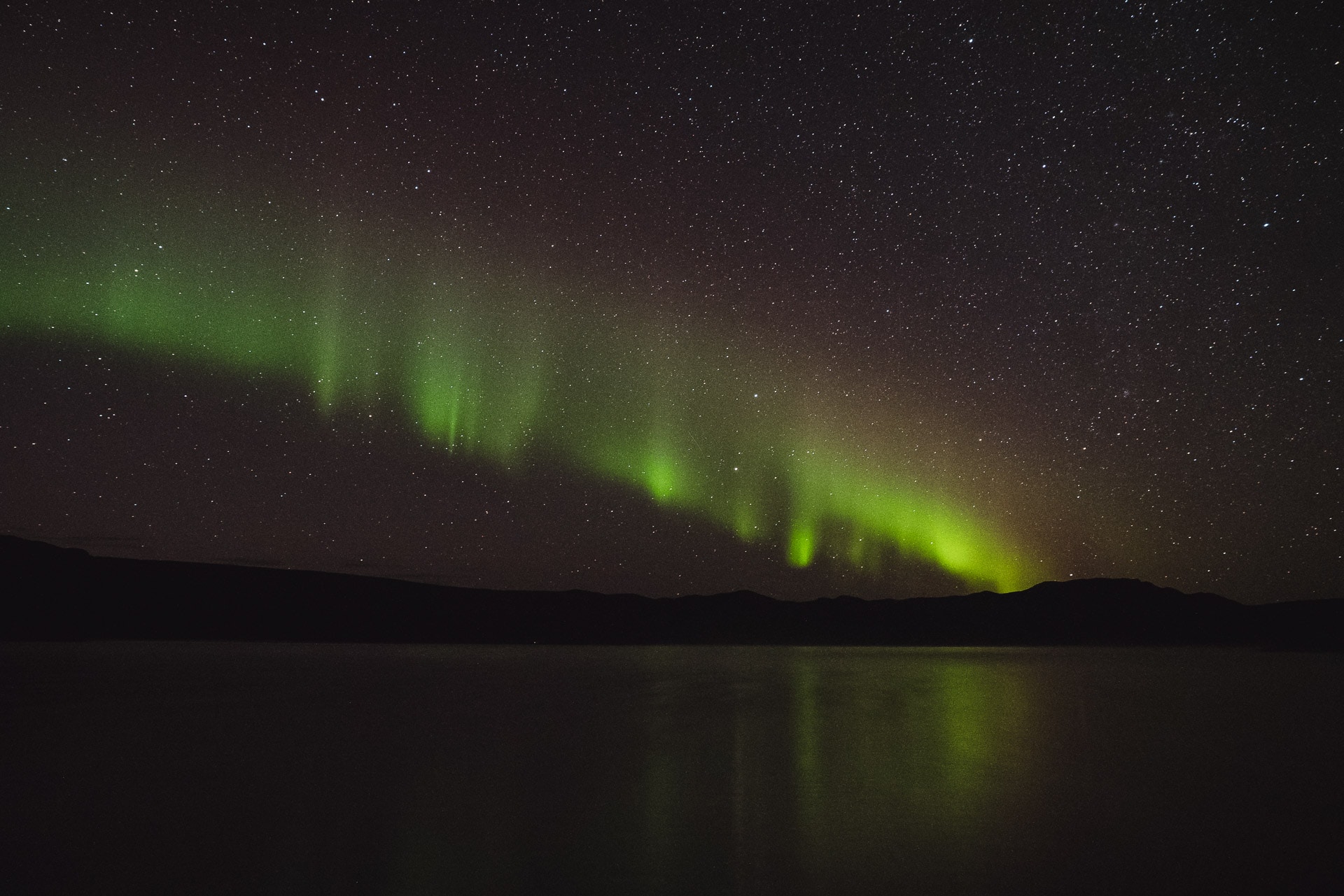
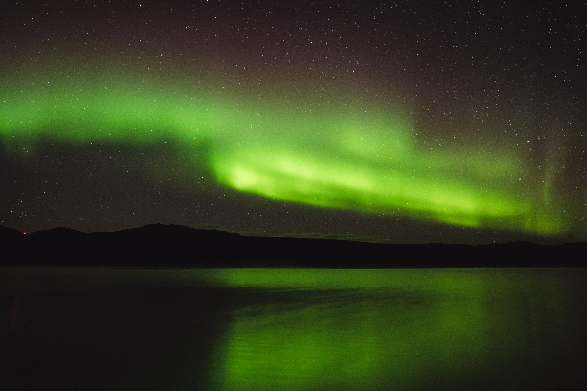
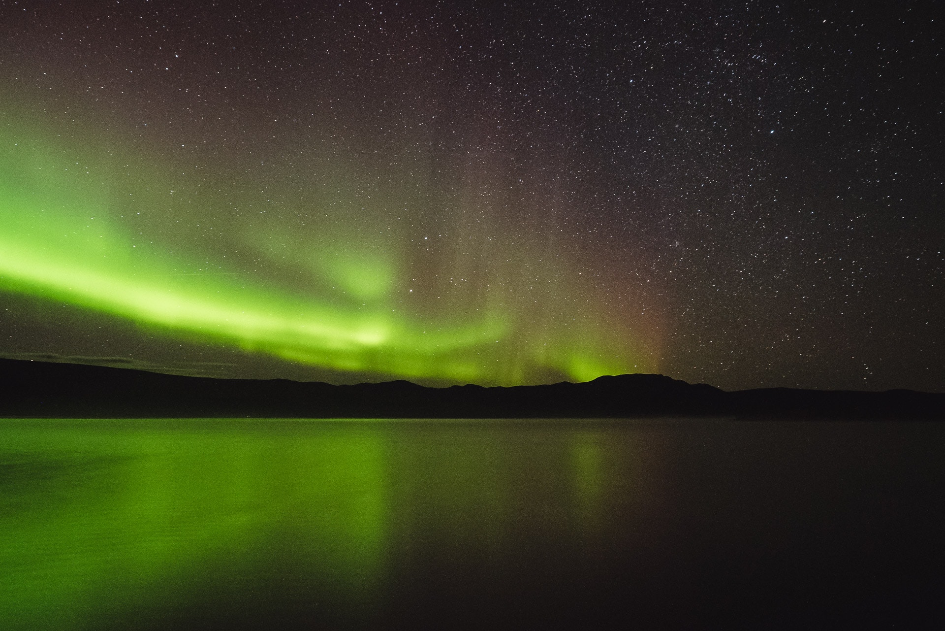
We will fall asleep with our head full of northern lights in our room.
The next day we will take the boat at 12:30 and then the bus to Kiruna where we will spend a day before returning to France.
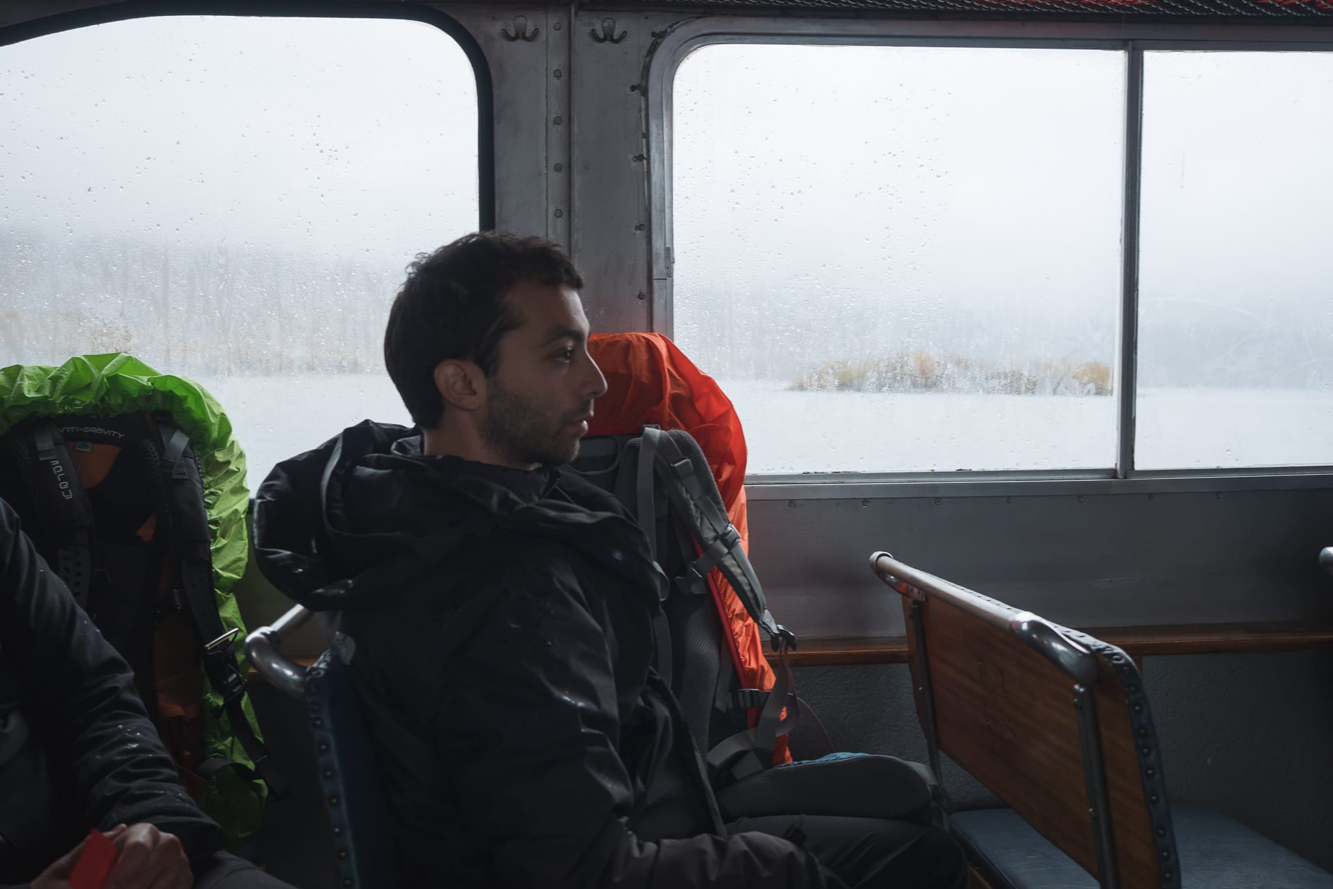
From the bus ride, we will feel a nostalgia for the great outdoors and the “Wild”. Unfortunately we say goodbye to Lapland but already we want to go back to live such an experience again.
Conclusions
What an adventure ! I wanted to go to Sarek as soon as I heard about it and my hopes were not disappointed. Sarek is wild, hard, beautiful, breathtaking. The dimension of Nature, whether landscape or weather, make you feel very small. It is rare nowadays, in Europe at least, to walk 3, 5 or even 7 days without crossing a real human structure or even people or just 2min time to cross.
This trek will have been one of the hardest that I have done and it is the same for my acolytes. The field was the main difficulty but the weather will have arranged nothing. But besides that, the reward offered by the landscapes and all these little indescribable moments largely compensate for the difficulties. A few days after our return Quentin was talking about amnesia to pain, I like this picture. We forget what was wrong and we only keep the good and we immediately want to leave a little further, a little longer. I do not know yet where it will be, but what is certain is that the call of the North will still be strong in the coming months.
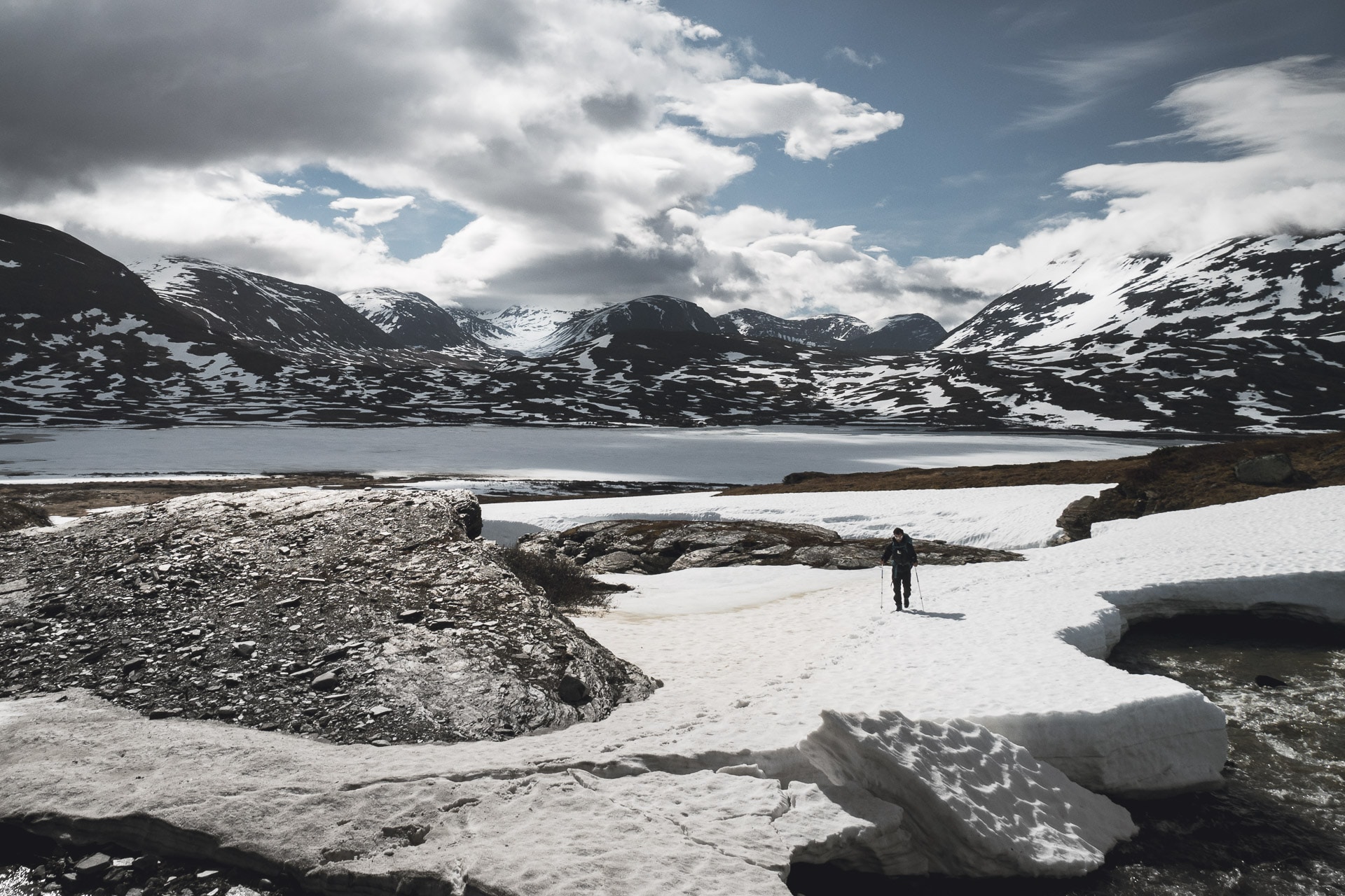
Kungsleden - From Nikkaluokta to Abisko
9days
into the wild
96km
walked
1500m
D+
140km
north from the Polar Circle
The “Call of the Wild” has been strong again this year ! Of course we answered if : destination Swedish Lapland with Matthieu and Quentin in the Kebnekaise region for around ten days between Nikkaluokta and Abisko.
First we wanted to follow the Kungsleden between this two places but we had to change our plans a bit as I will explain later.
For this trek, our main goal was to escape in the Great Outdoors with as little human contact as possible, in total freedom. Sweden and Lapland are perfect for that !
Follow us for this 9 days in the birch forest, the swaps or the snow, far for the civilization, alone and happy to be !
The path
Our first wish was to go in a remote area with very little human contact and in which we would live the “Great Life”. Sweden was perfect for that especially in the Lapland and thanks to the Allemansrätt law (More information about this law here).
So we wanted to walk the Kungsleden between Singi and Abisko starting in Nikkaluokta but after few searches on the Internet et some feedbacks from the field, we chose to start in the Vistas valley first and then cross in the Mountains at the Raïtastugan hut and join the regular path after Nallo.
The Kungsleden, the Royal Path, is a 400km trek between Hemavan and Abisko. It crosses wild area of the north sweden as the Sarek, the Vindelfjallen ou Saltoluokta mountains. The Singi-Abikso portion is the most walked because there are shelters every 20km so one can do this part with a light backpack.
The problem is that this idea was good but winter has been late this yer and there was still much snow from the locals feedback. Finally we started in Vistas valley as planned and then we crossed toward Alesjaure. After that, to avoid meeting too much people, we went to the Gama and the Kårsavagge valley. This was a interesting way, more remote than the Kungsleden and offering beautiful, unspoiled sceneries.
Start and first day: beginning of the journey and first mishap
Meeting is at 8am in Charles de Gaulle Airport, France. Quentin and Matthieu are there with their huge backpacks full of 10 days of food. Excitation is there to, we are eager to be in the wild soon.
The 2h30 flight is quick. Here we are in Stockholm airport. We decided to continue our journey by train. It is a good way to take time, to adapt slowly to our new environment.
But before that we have to wait for 5h in the airport. So we use this time to pack our bag and to check the path one more time.
The train is leaving at 6pm, we have a compartment for three, it is a bit small but it will be ok for the night (there are also shower available). The evening will be spent playing cards and watching the landscapes flying through. It is a succession of lakes, forests and small town from time to time.
This night, the sun will barely set, polar circle is closing up…
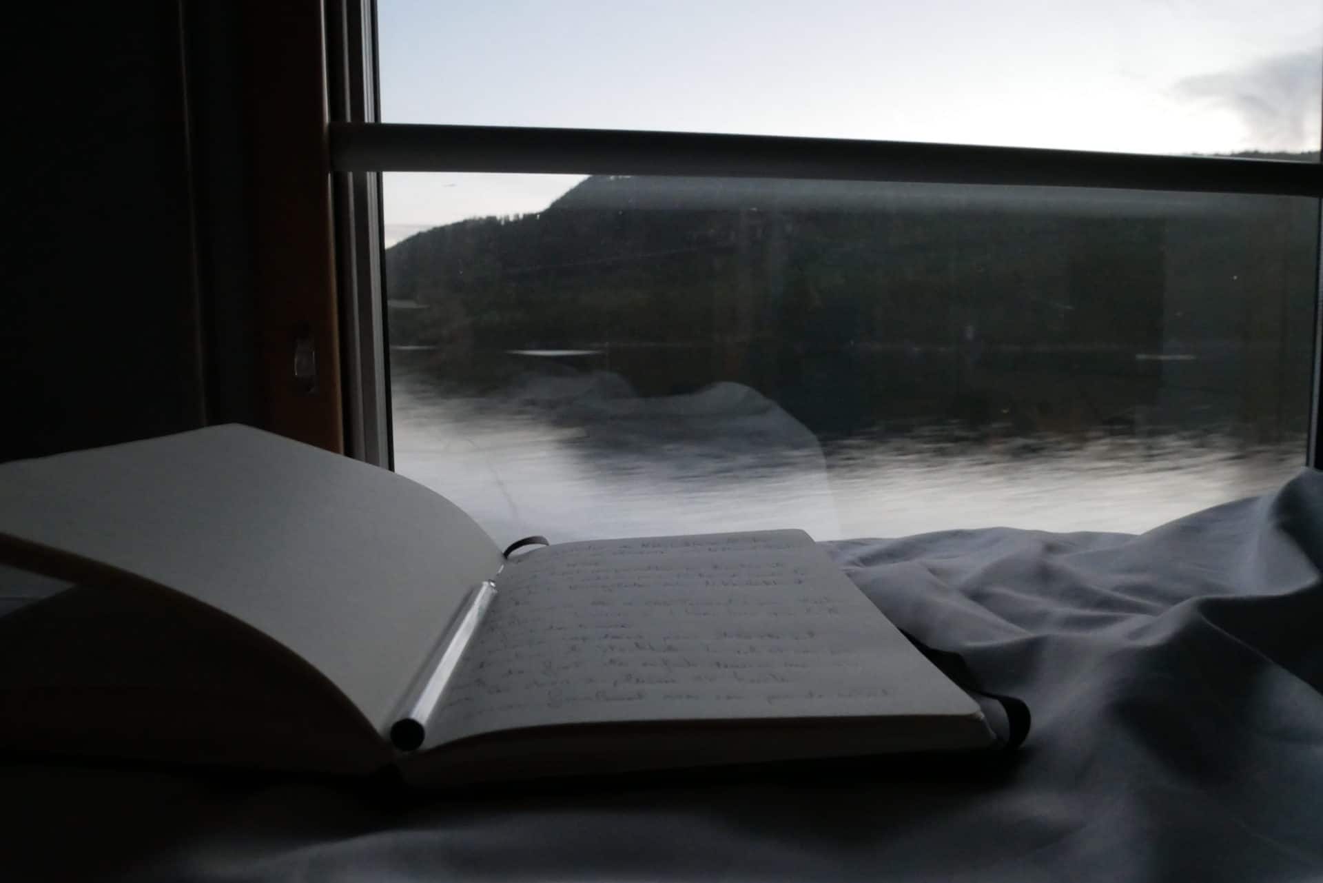
We spend a good night, It’s around 8h when we wake up. Card play again while playing breakfast. We take a new train in Boden at 10am. It is a regular small on full of hikers going in Lapland. This next 4hours seems very long.. It’s already been 17h that we are in a train…
Finally we arrive in Kiruna! The end of the journey is impressive because the train passes by the enormous iron mine of the city (27500 tons on iron are extracted every day). From the trainstation we go to the city thank to a free shuttle. Then we go to the tourist office to have some informations about the ways to go to Nikkaluokta.
Normally there are daily buses from Kiruna to Nikkaluokta but they only that on the tomorrow so we want to take a taxi. The lady at the office tells us that it is possible but she just received a mail which warn people that the Kungsleden is almost unwalkable due to a 80/90% snow coverage and swamps…Ouch ! Listening to her, it seems that our plans are about to fail due to the conditions…
We think about the options we have : going there anyway, waiting for tomorrow to have more informations or going in another place… Changing place : no, it will be the same and we are not prepared, waiting : it will change nothing… So we choose to go to Nikkaluokta and asses the situation there… if it is not good we will return…
So here we are, in the taxi, to Nikkaluokta. I’m happy to be there in this northern landscapes soon into the wild…
One and half hour and a nap later we are finally in Nikkaluokta, the true beginning of our trip !
Not many things here : just a big building which is an hotel, a restaurant and a small shop but the best thing is that this is the end of the road !
Before we go we stop to check with the owner of the hotel to get more informations about the field conditions. She has no more news than the Lady at the turist office earlier. She just confirms us that the valleys are quite snowy and that it can be a bit difficult to walk there. At this moment some guys are just passing by and it appears that they are helicopter pilots here. They are telling us that all the Kungsleden valley is almost full of snow from Singi to Abisko. The Vistas valley seems better but they don’t how is the end of it. Yesterday they had to “rescue” people… not a good news… With all this infos we decide to begin in the Vistas valley tand to improvise depending on the snow… We’ll see.
Here we are, ready to go, everything is set, it’s sunny,.. one last photo and GO !
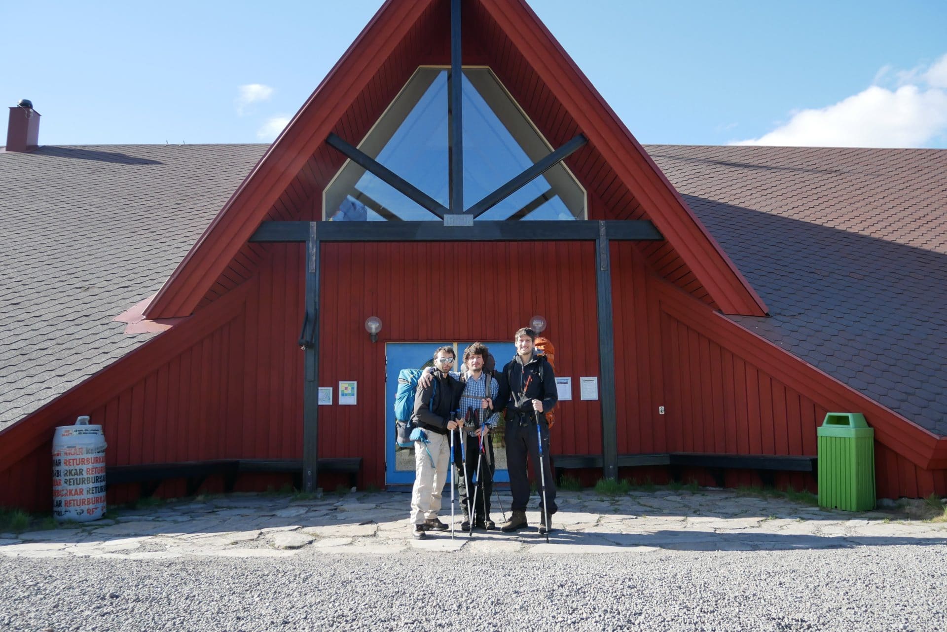
We start on the road for 2km then we turn left into the birch forest. We are directly attacked by the mosquitoes !
In summer, polar regions can be a real inferno because of the mosquitoes which are swarning in the swamps. We hoped that there would be few of them in June (which was true especially because of the late winter). There are few of them after mid august.
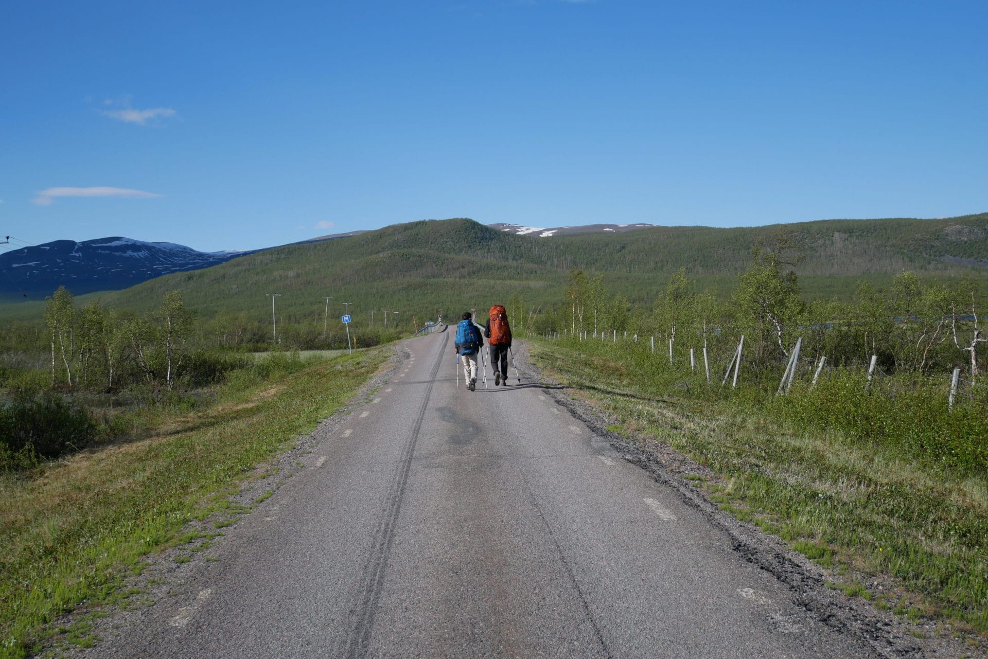
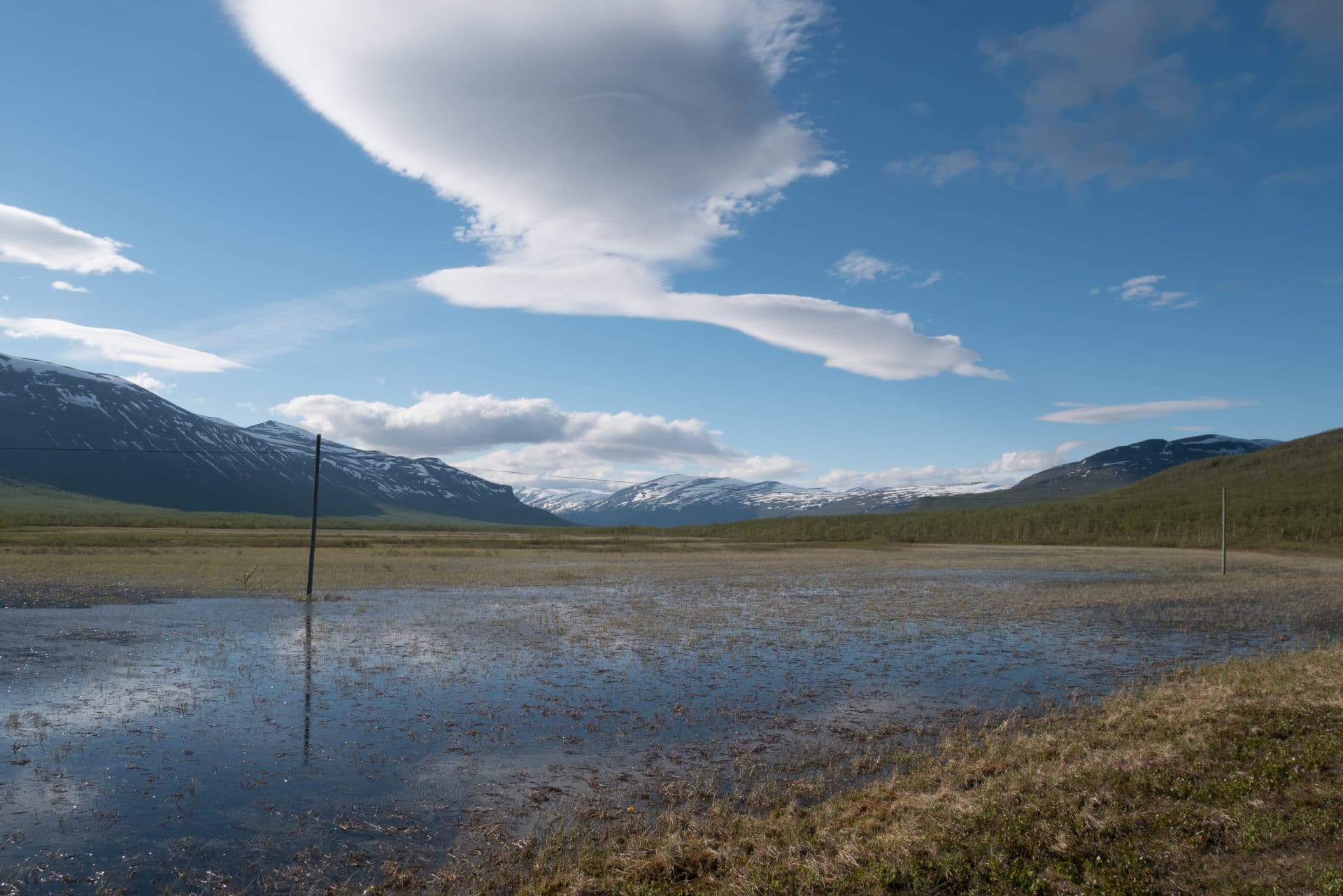
The problem is that we made a mistake ! We turned left too soon so the path disappears after few hundred meters and now we walk either on thick forest or in swamps ! Ô happiness ! We don’t know if it is normal or not and or map is showing us that we should be in a right place… so we go on.
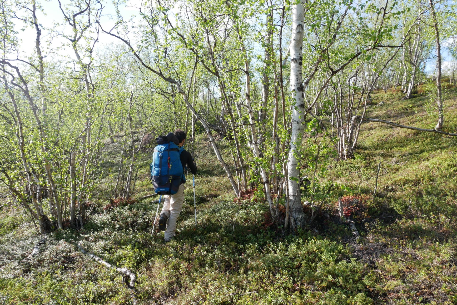
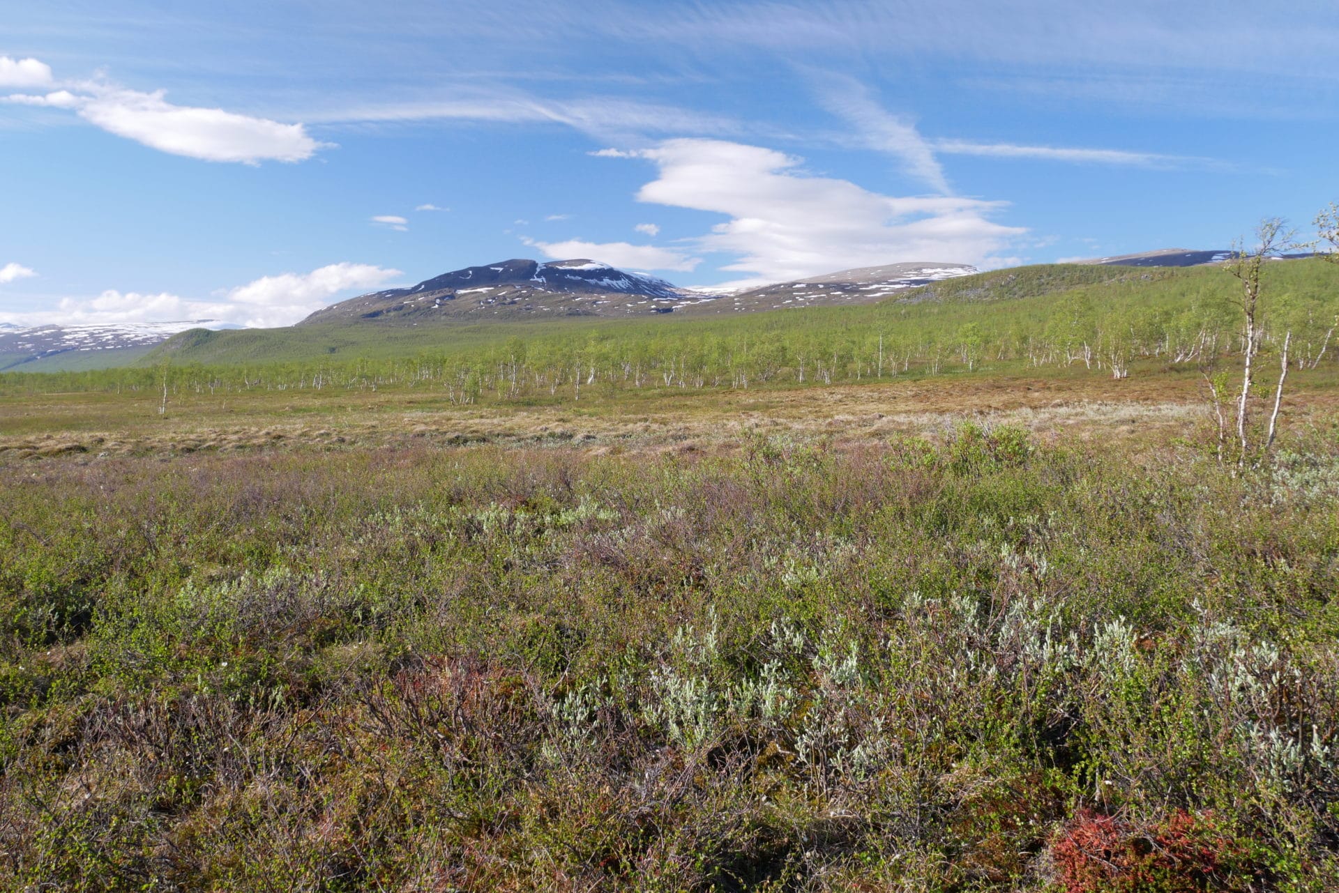
Quickly we are totally soaked, we try to keep going in the swamps but it is difficult and to improve the situation mosquitoes are very found of us. After two hours we will just do 2km… I have to admit that I am a bit afraid of the rest of the trek if it’s all like this…
It’s already late and we are tired of the journey so we start looking for a place to camp. After a bit of hesitation we find a nice place close to the river. It will be fine for the night.
The tents are quickly set up even if the mosquitoes are trying to distract us. The mood is quickly better after we lit up a fire.
Fast lunch and everyone is going to bed because we are tired… The place is nice on this evening with a beautiful sunlight over the valley. However, I am falling asleep a bit worried due to the snow, the swamps we had to cross and the ones ahead,… We will see tomorow but I hope it will be better… Anyway, I’m still happy to be there !
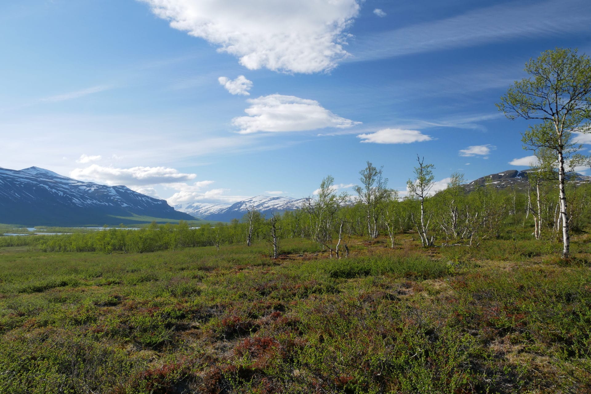
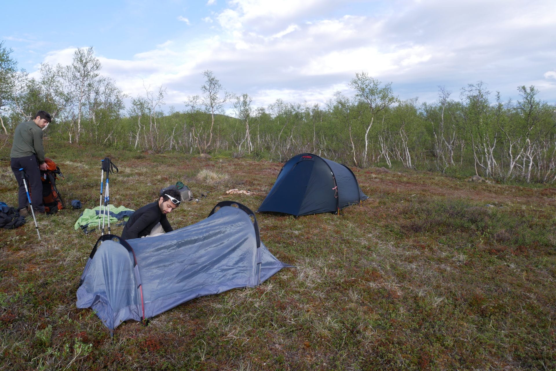
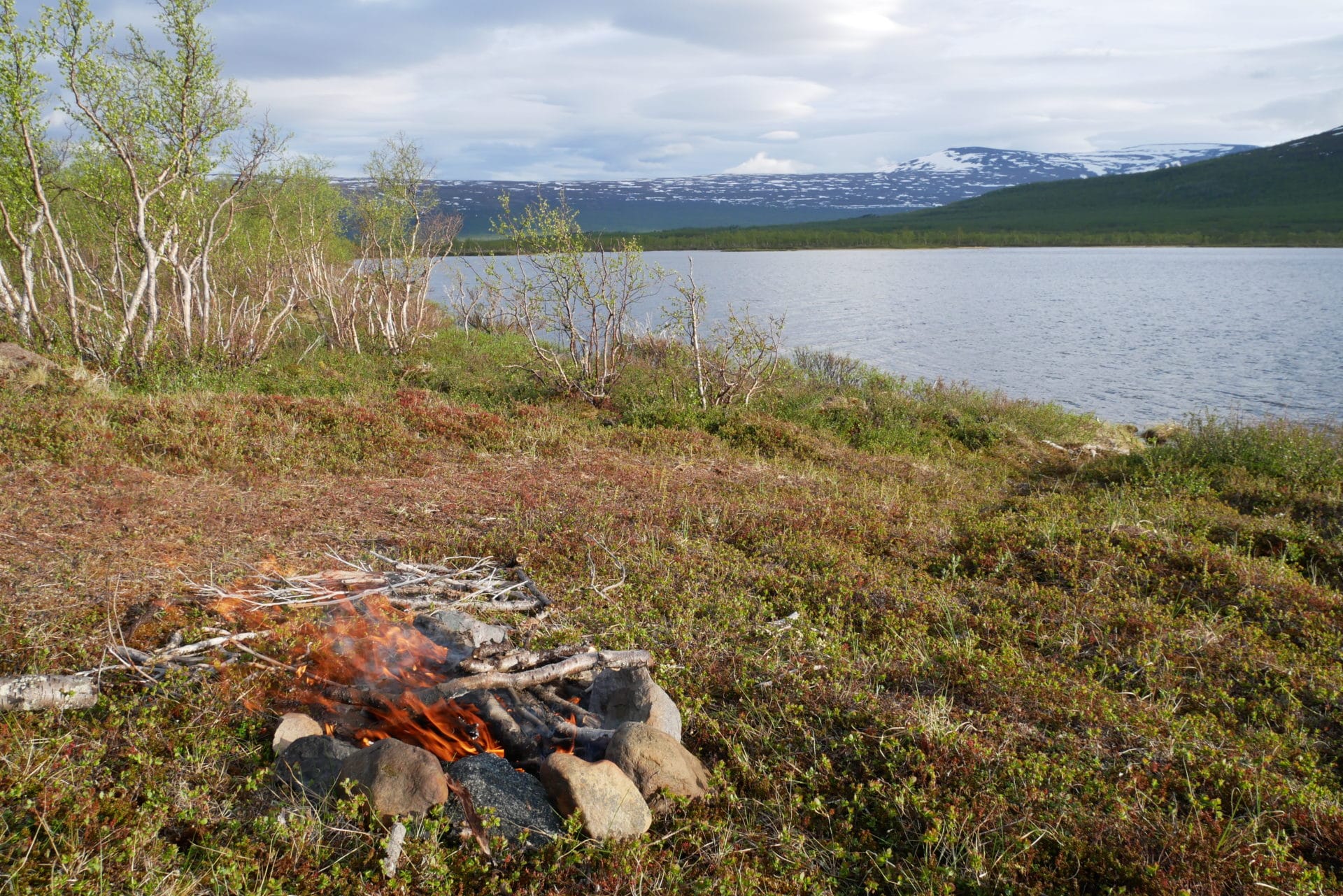
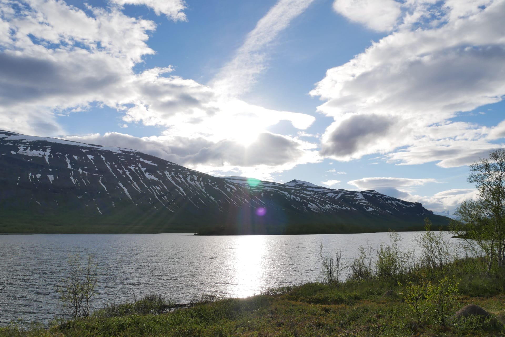
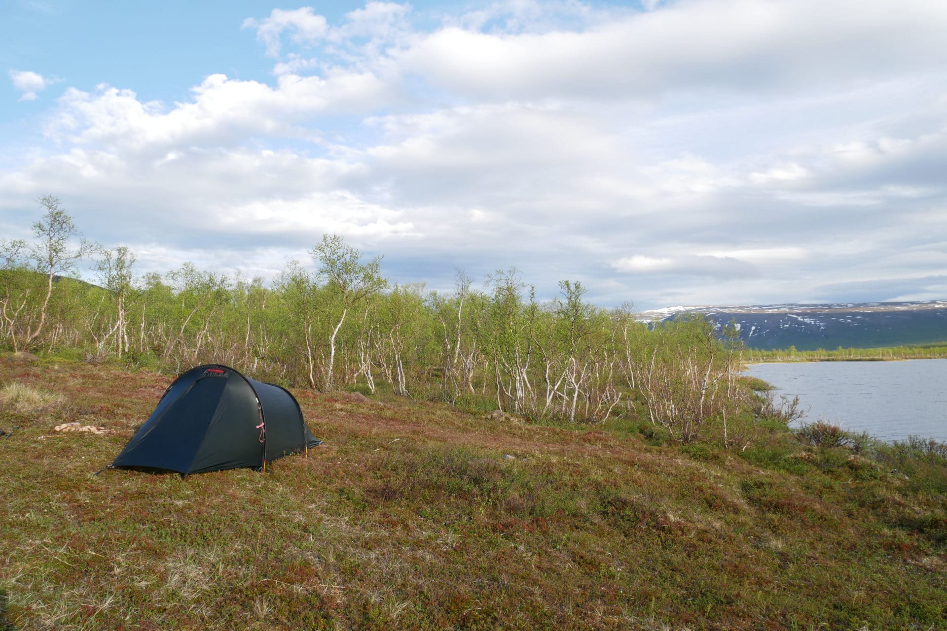
Day 2 : further in the Vistas valley
We had a good night sleep even with the midnight sun.
We don’t spend too much time at the camp on the morning because of the mosquitoes. Once we are ready to go we choose not to continue in the “right” direction but in perpendicular way because we think that the path could be in this direction after a fine analysis of the map… and here it is 200m from the camp ! A beautiful path in wood planks… Yesterday we were so close but we didn’t see it…
Of course we are moving much faster on this good track. It is cloudy today but the landscapes are pleasant. For the time being we have not met anyone since we left Nikkaluokta …
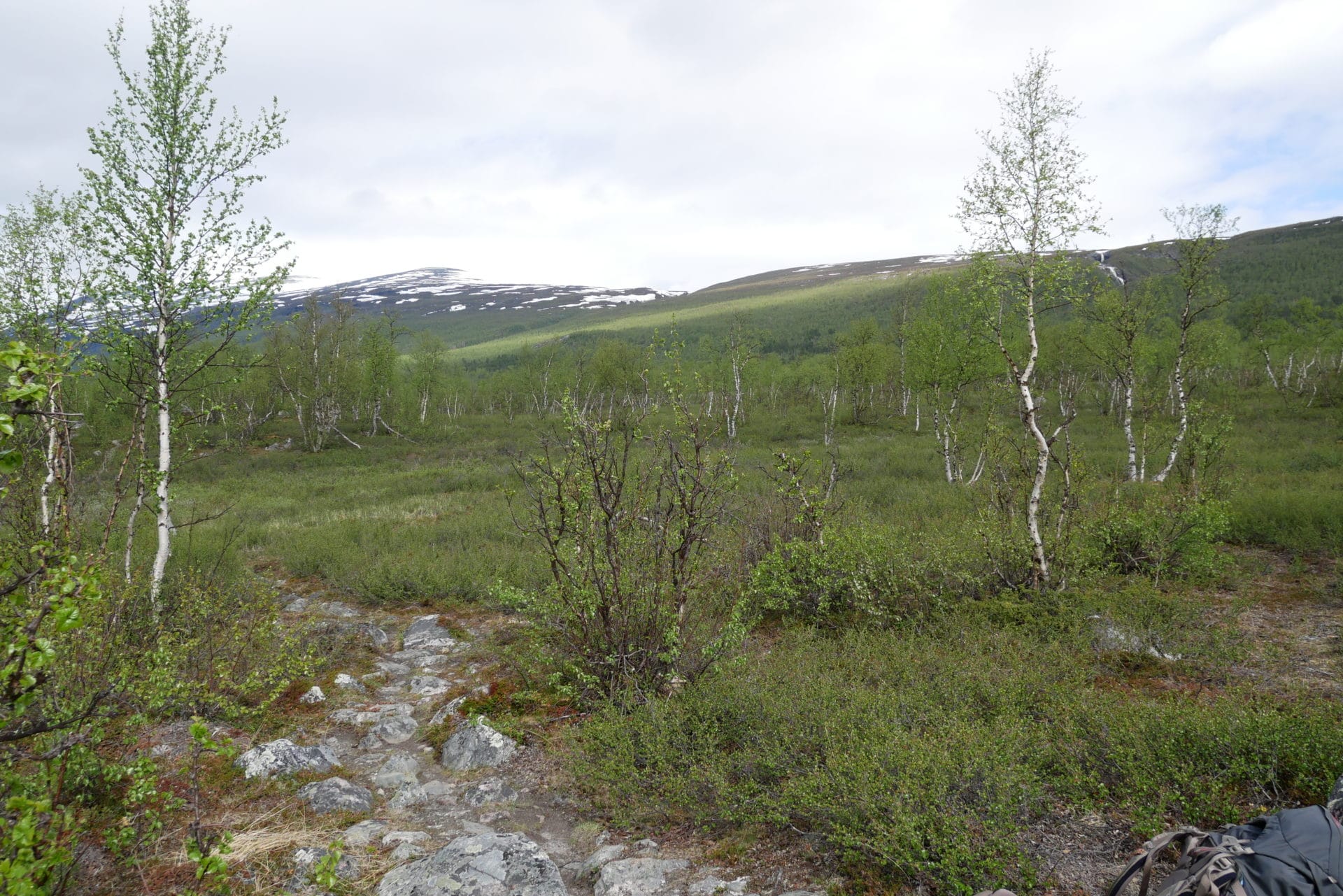
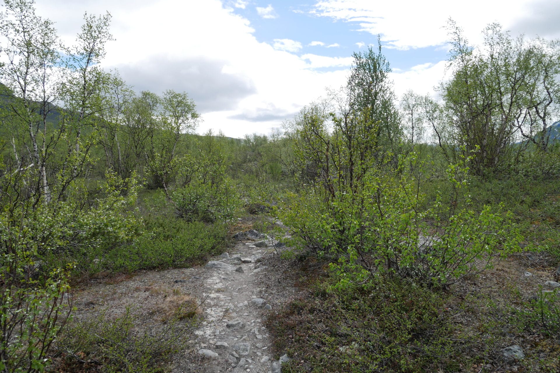
Arrived at a large river, the path is more discreet in the high grass, so we are wrong turning on the right but this is a chance because we fall on a moose grazing nicely at 50m away … The absence of antlers makes me think that it is a female, it is not very big but itt is however impressive. It lets us observe it for 1 minute and then moves away without too much hurry revealing a second one hidden farther in the undergrowth …
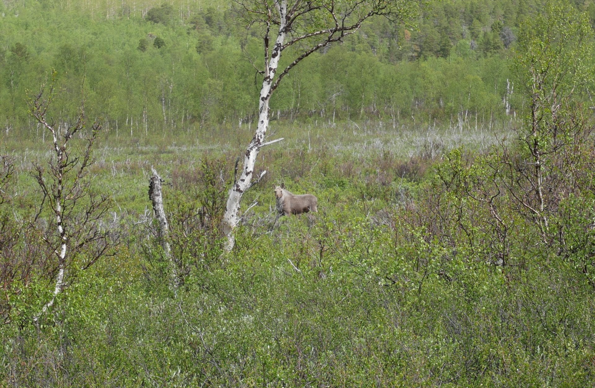
We find the right way after this nice meeting. The crossing of the river is done on a makeshift bridge in trunks of birches. We then meet a group of four Russians who passed by the mountains a few days ago, good news! We can therefore pass despite the snow, the conditions are not so horrible as that.
We continue the road at a good pace taking time to admire the landscapes. Behind us, Nikkaluokta seems already far away, the phone network has disappeared since this morning, we are now really in the Wild Lapland!
There are many rivers to cross on the way, many are relatively narrow, others wider or more flowing require a bit of judgment. But the one ahead of us is going to be complicated to cross without removing the shoes and the pants … so be it. Everyone crosses his turn, the water is freezing! It comes directly from the melting snow and has not had time to warm up …
The path then continues gently. During the lunch break we meet two Germans arriving from where we want to go! Good news especially that we also met Dutchmen who turned back towards Nallo … The road we want to do is therefore feasible even if it will be a bit challenging according to the Germans…
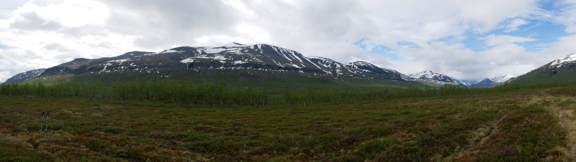
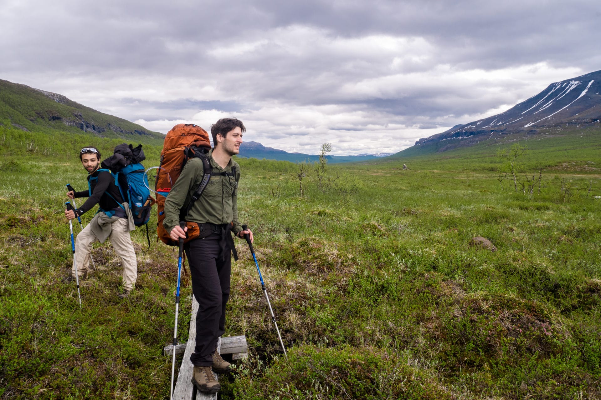
The day is long, especially as we are not yet “warmed up” and that the bags are heavy in this trek start. Quentin begins to feel pain on the iliac crest and suffers a little while walking, for my part I start to get a little fed up, it is soon 16km walking. Two guys we met earlier (with 10 people this day was the most populous of the trip) told us that there are some very nice camping spots next to a bridge. We decided to push another 2km.
And indeed, we find a perfect location for the camp: flat grassy ground, river below 20m, corner for the campfire … Perfect!
I spot a herd of reindeers in the forest a little further away! They have not seen us, so we approach discreetly to observe them. They obviously spot us before long and escape but we still have time for few photos.
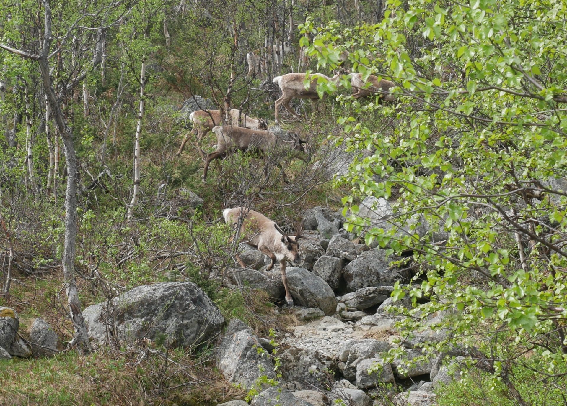
The camp will soon be set and the fire quickly lights up. It’s a fresh weather we have tonight. Everyone washes a little at the river (the water is always as cold) and we have a “good” meal based on dehydrated food, sausages and cheese by the fire. We are well that night, we feel free. We are living what we came for, we are lucky.
End of day more optimistic than the day before. The path will be fine until Alesjaure but it will be complicated then until Abiskojaure …
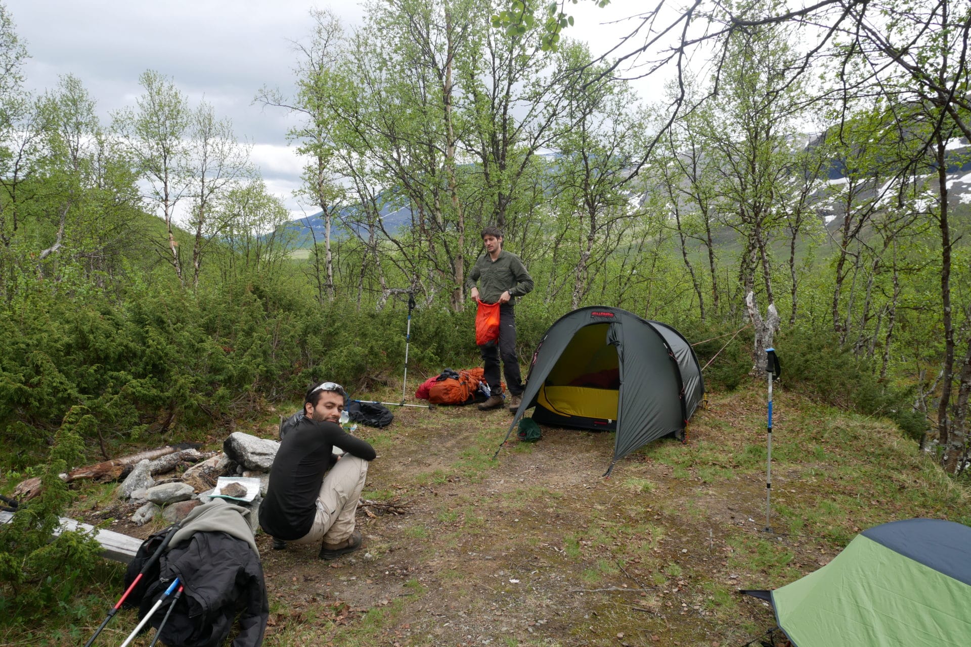
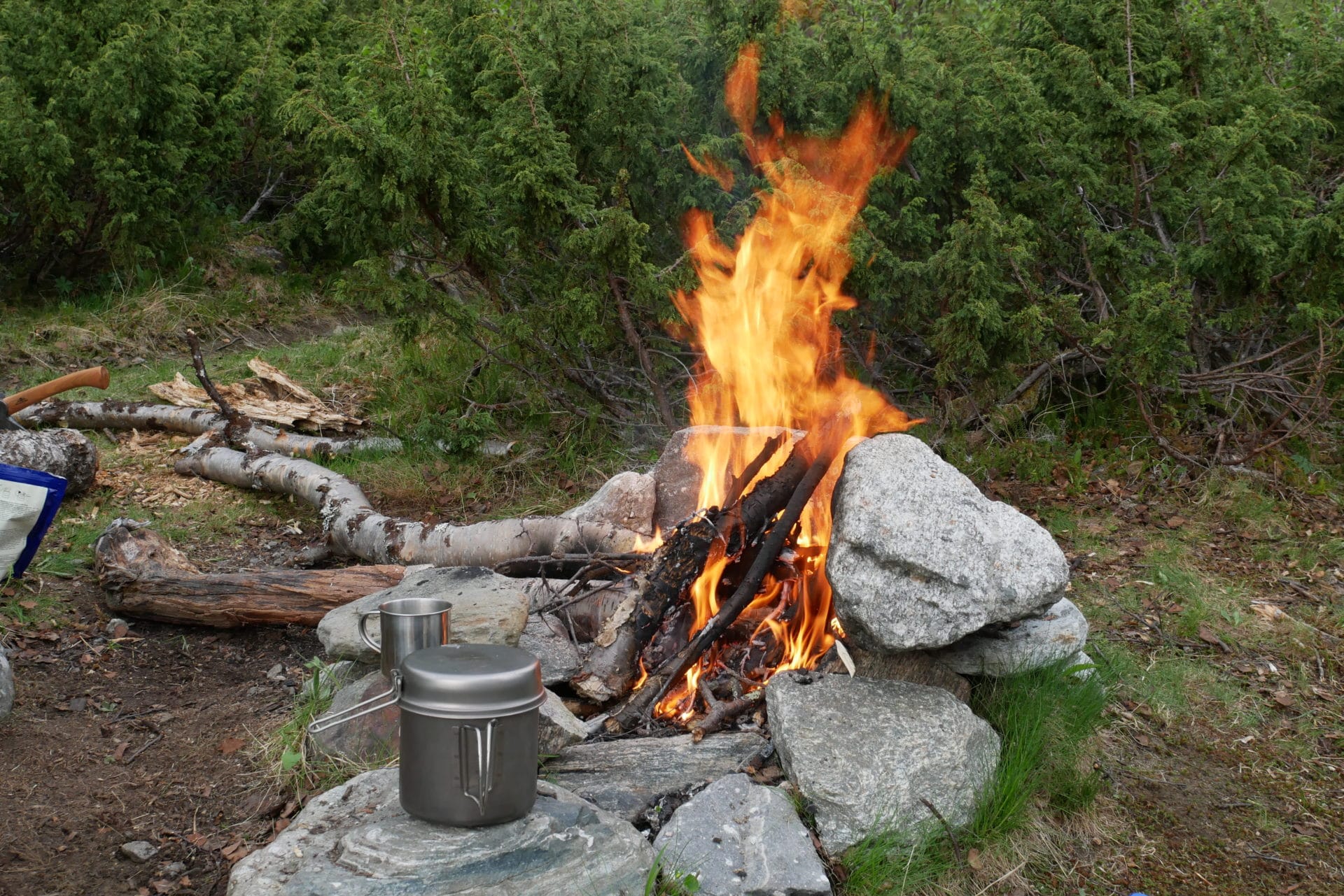
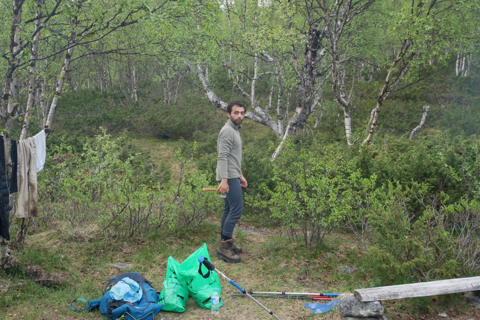
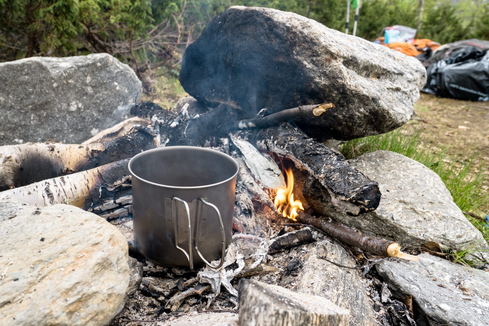
Day 3 : To Vistasstugan
Another good night even though the sound of the river was pretty present. We fold, we tidy up, we start. The program of the day is light: we walk to the cabin / refuge of Vistas 10km away.
But before resuming the road: DIY workshop! Indeed, the shoes of Matthieu show signs of worrying at the level of the soles. That of the right foot is already well detached and that of the left foot will not be long … It is not a good thing for the following of the trek. Fortunately, I took my big climbing tape which is solid, so we will try to keep the sole in place as well and change the tape in the evening, at the worst Quentin also has a little of it and we have a bit of string …
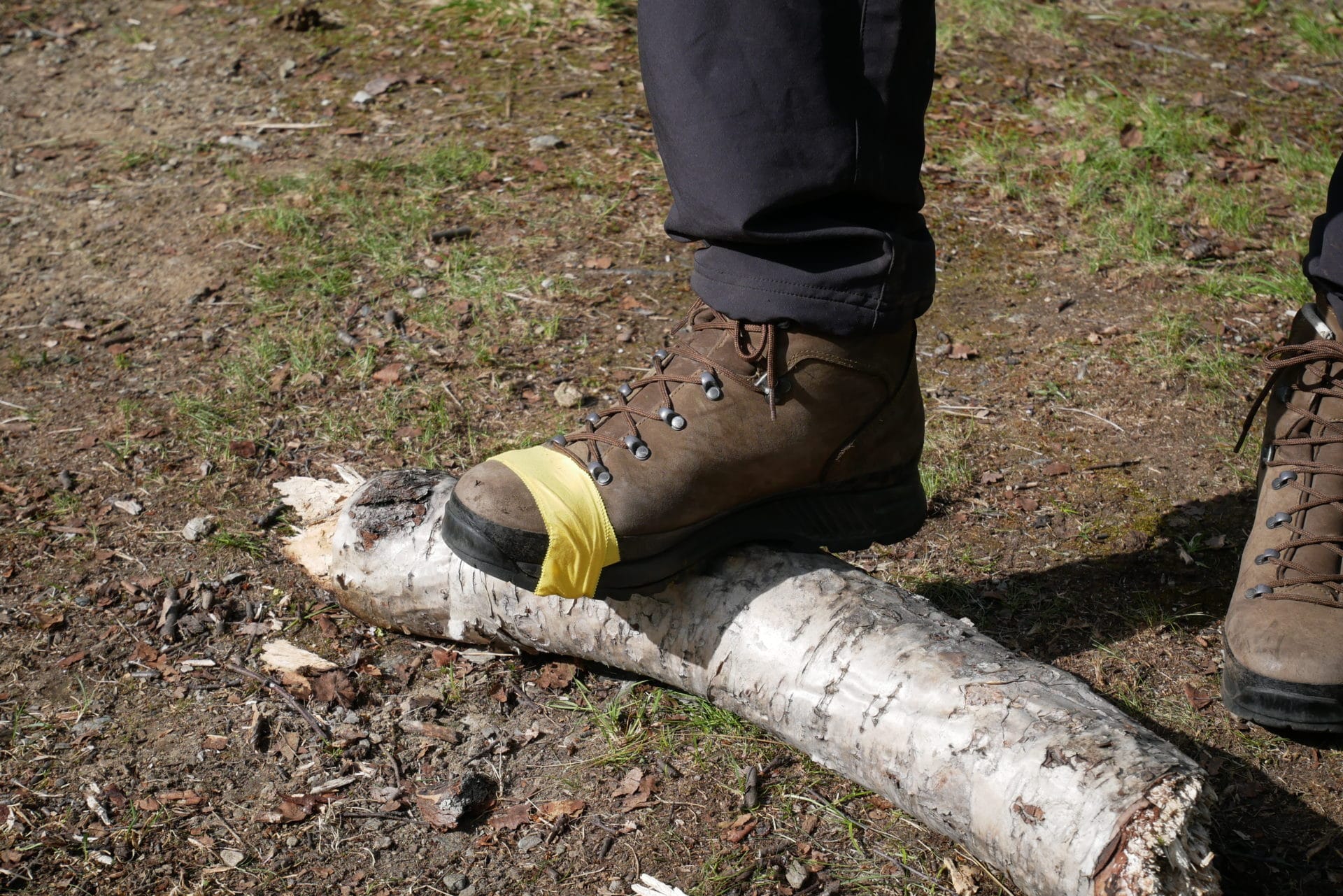
We are on our way back, still further into the wild Lapland. The beginning of the road takes us to a small bridge that crosses an impassable river otherwise, farther, again, small bridge that crosses a beautiful river and which offers a superb view on the valley downstream.
The map shows the presence of a hut near the second bridge. We did not go inside but this one looks more than rundown.
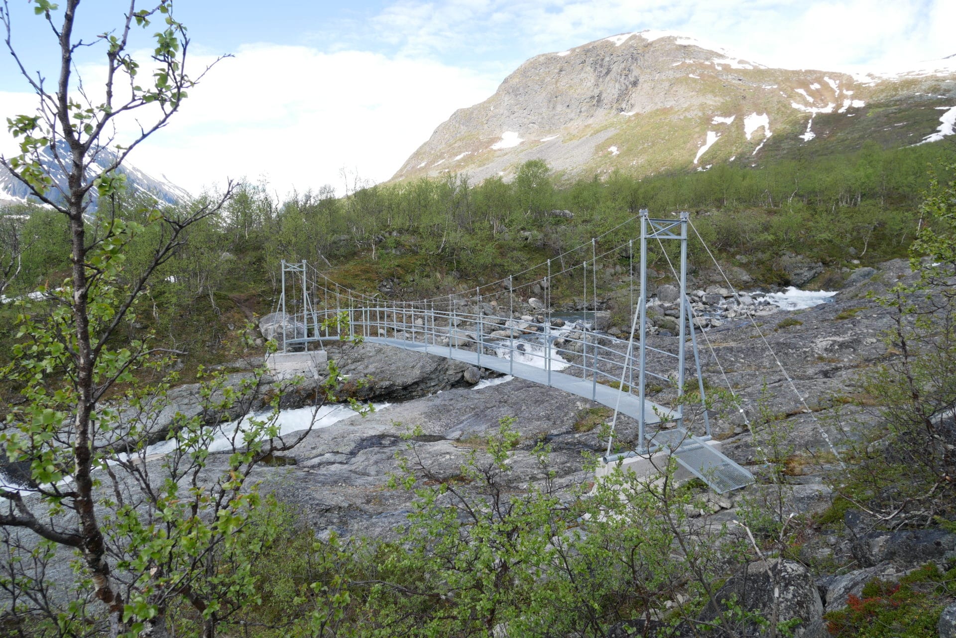
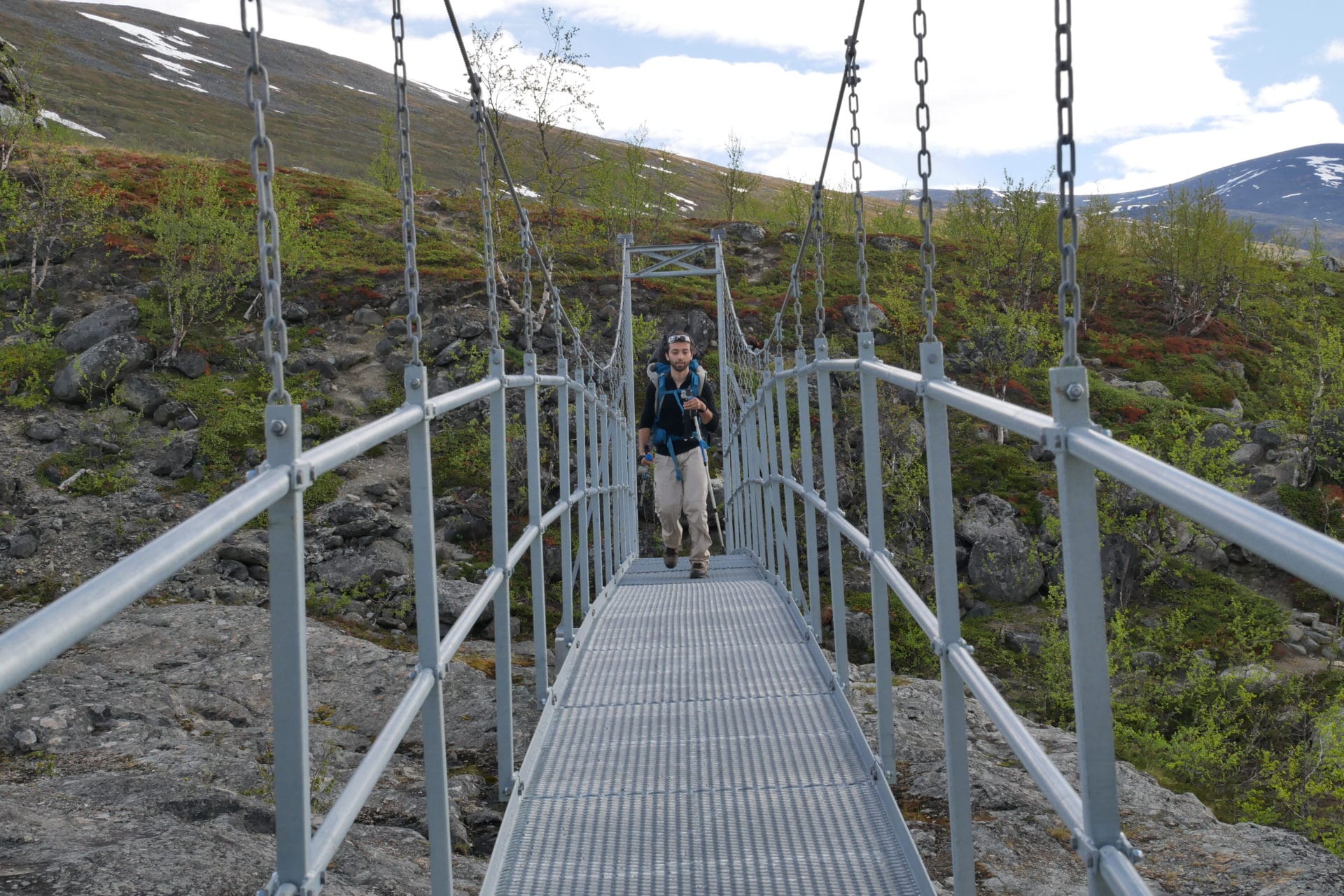
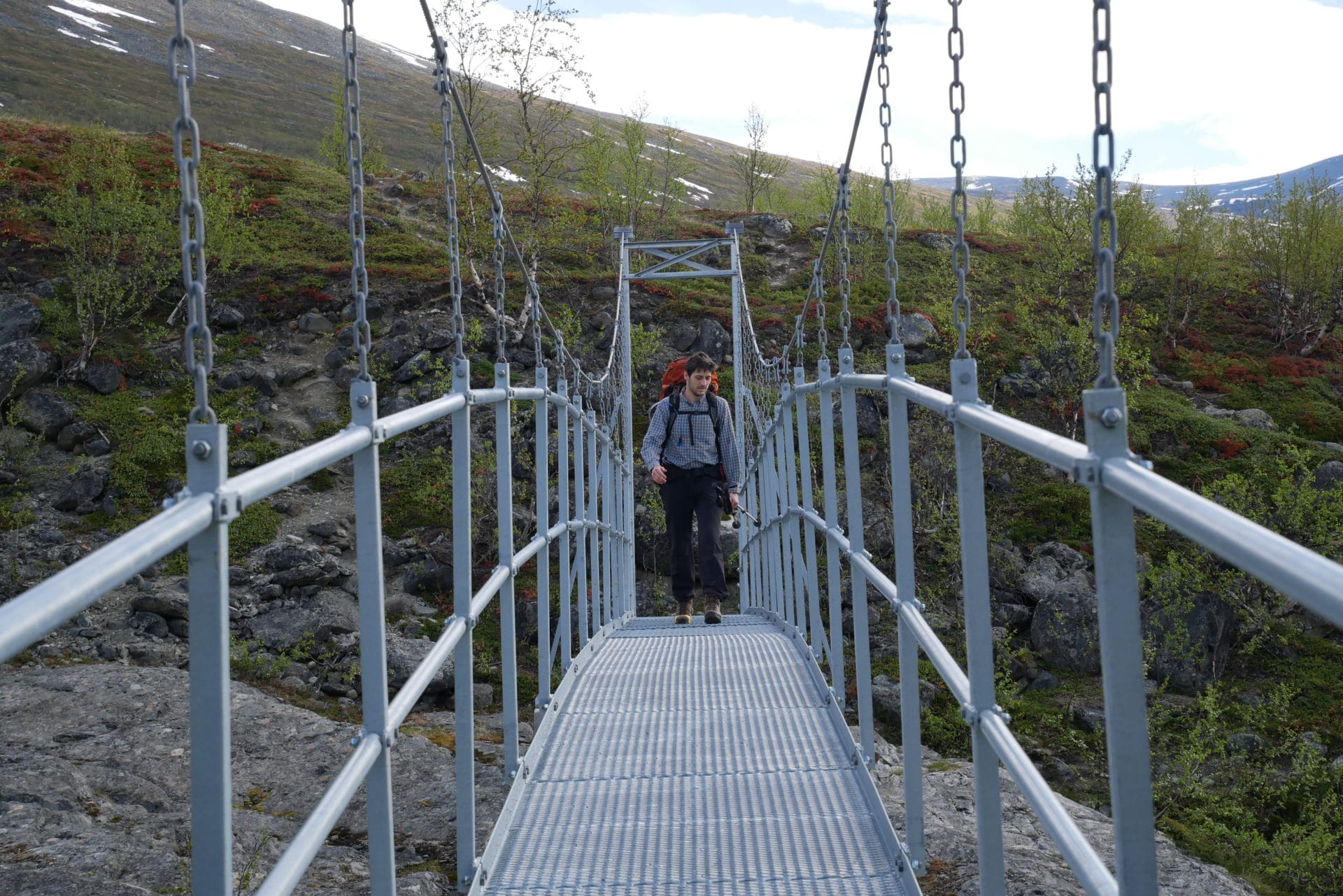
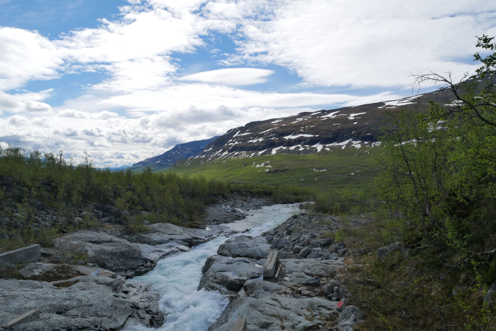
The path then leads to Vistasstugan. We arrive there 4 hours after the departure of the camp this morning (without hurry). The day of walking was short.
Vistasstugan is normally guarded but the keeper will only arrive 2-3 days later according to what we were told in Alesjaure the next day. The facilities cover a fairly large area because there are several residential or technical buildings and even a sauna!
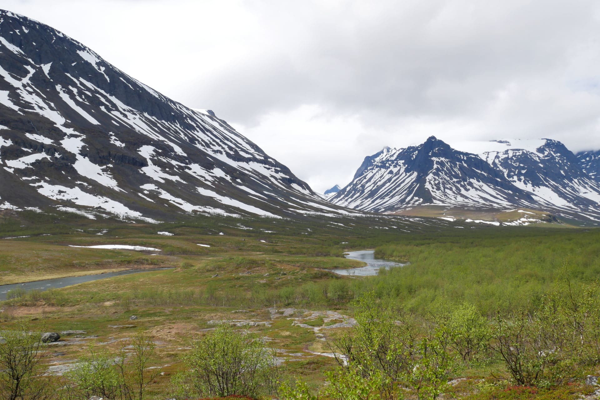
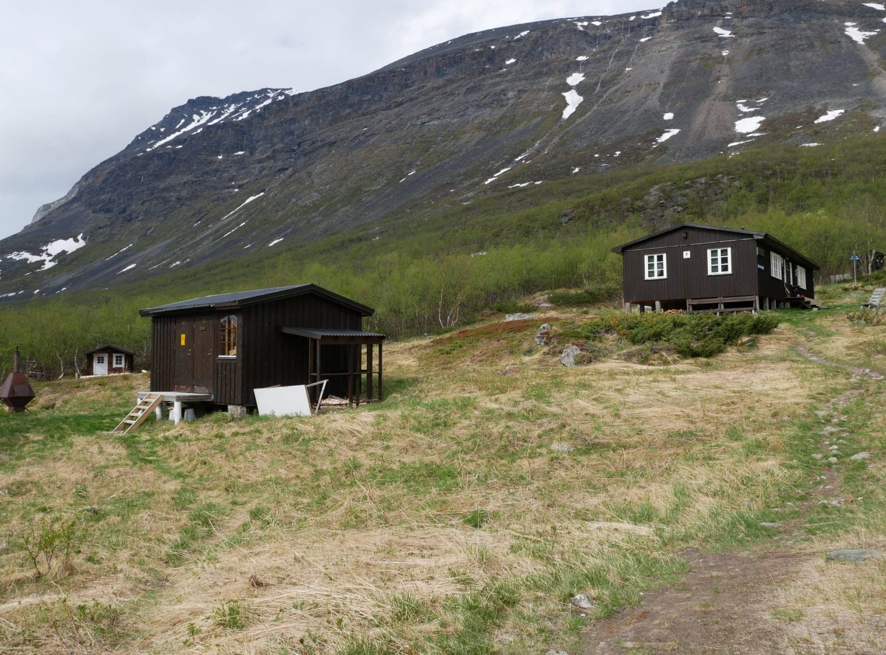
As far as we are concerned, we are heading towards the winter hut (the one near the bridge) which remains open annually and which in particular contains an emergency telephone. The hut is really nice, it’s even amazing how well it’s laid out, maintained and clean! The atmosphere inside is very cozy, there are four beds (relatively comfortable), a table, a stove that heats very well, gas and a small gas cooker (great luxury) and quite a lot of kitchen equipment. We will believe ourselves at home!
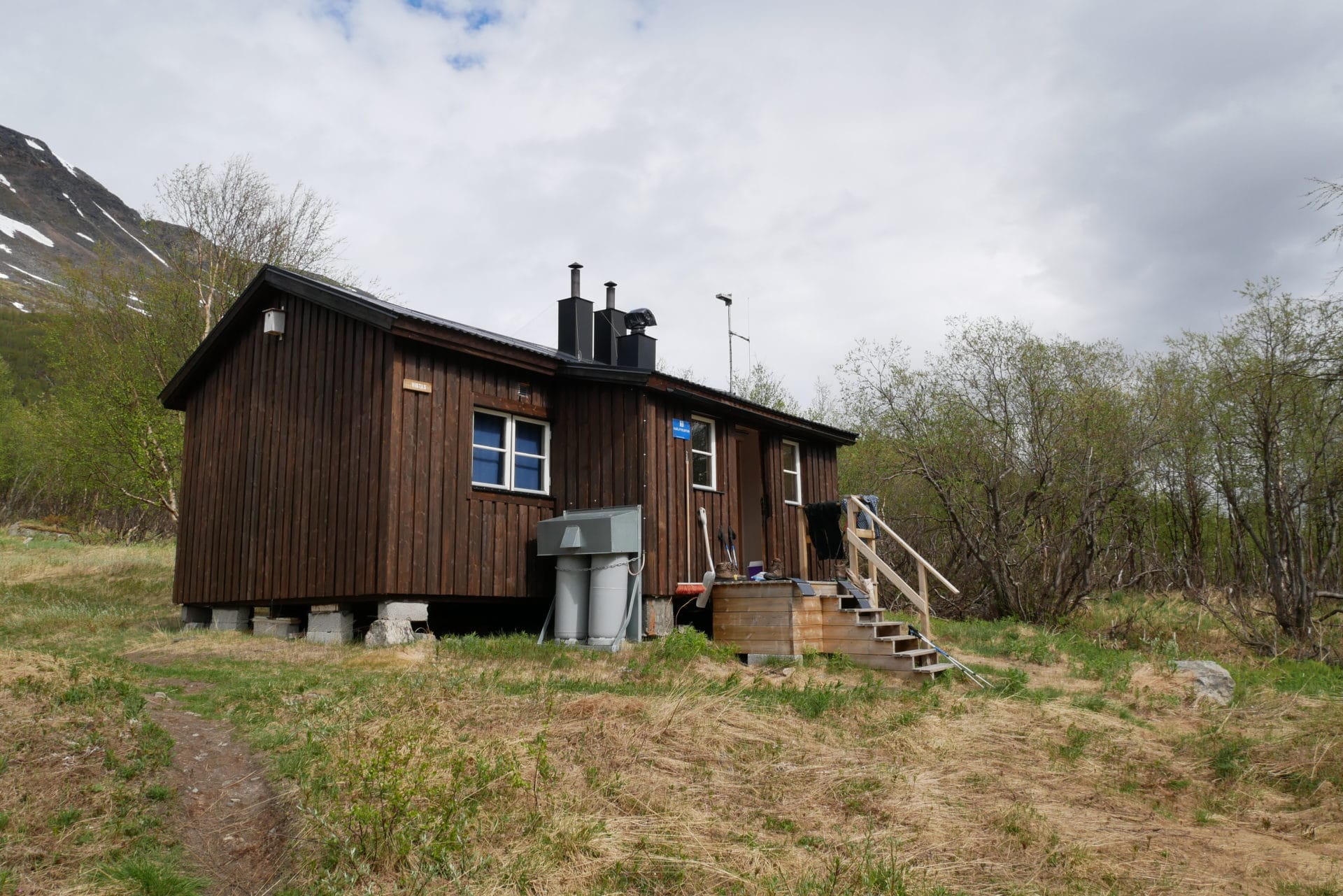
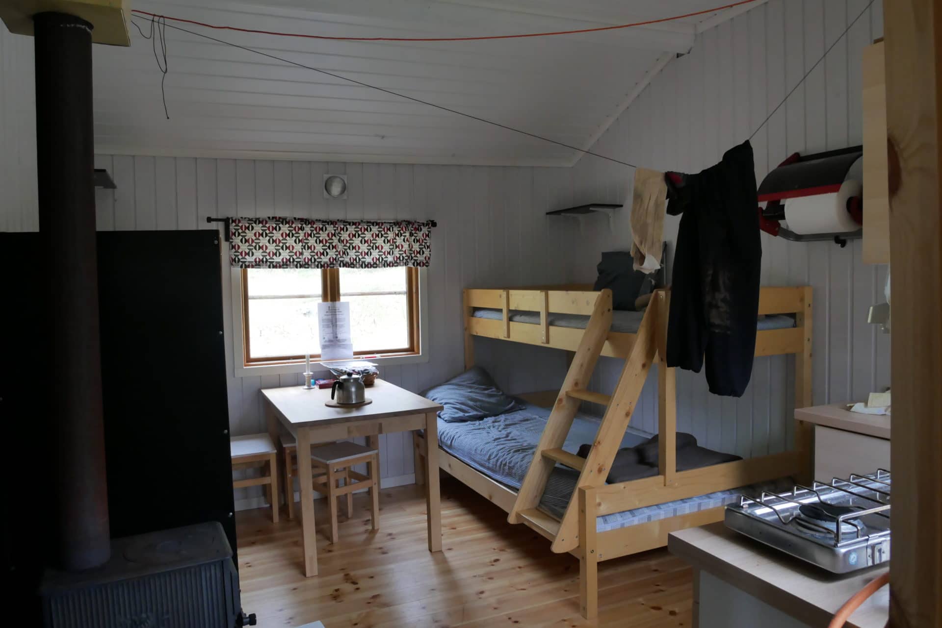
We settle for the rest of the day and the night, three days already that we left and it would be stupid not to take advantage of this small cabin, especially since, according to what we know, the next days will be hard!
Scarcely settled, we are welcomed by reindeers passing in the middle of the cabins.
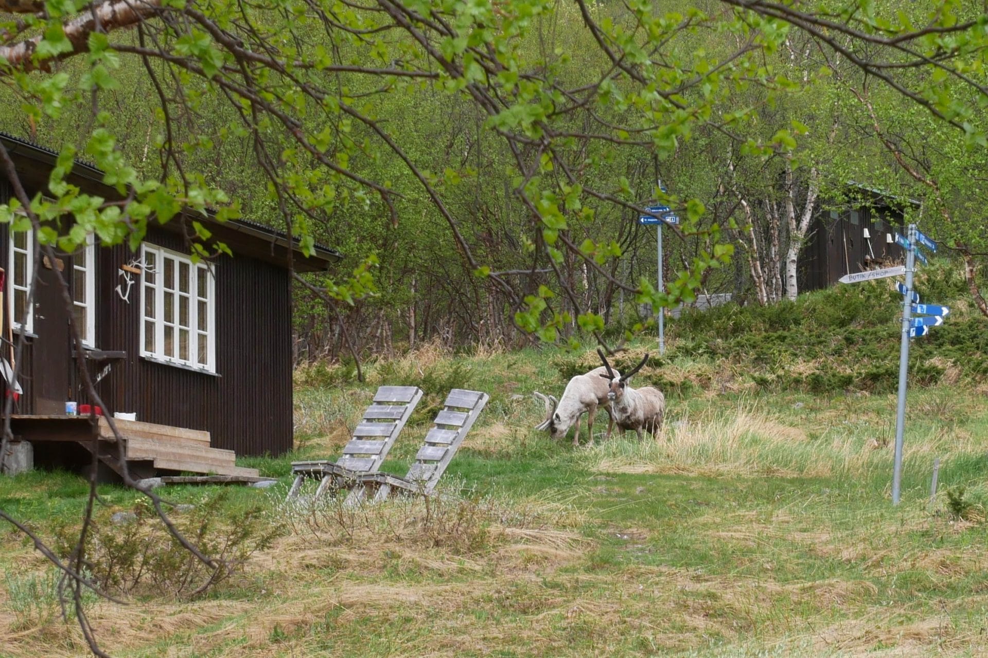
The afternoon will start with a hearty meal followed by alternating siesta, “shower” at the river, playing cards (a lot) and just enjoy the moment.
We will also throw a fire in the stove to warm up and dry the clothes, the latter heats very well, so it is very (very) hot quickly in the cabin but it’s not bad.
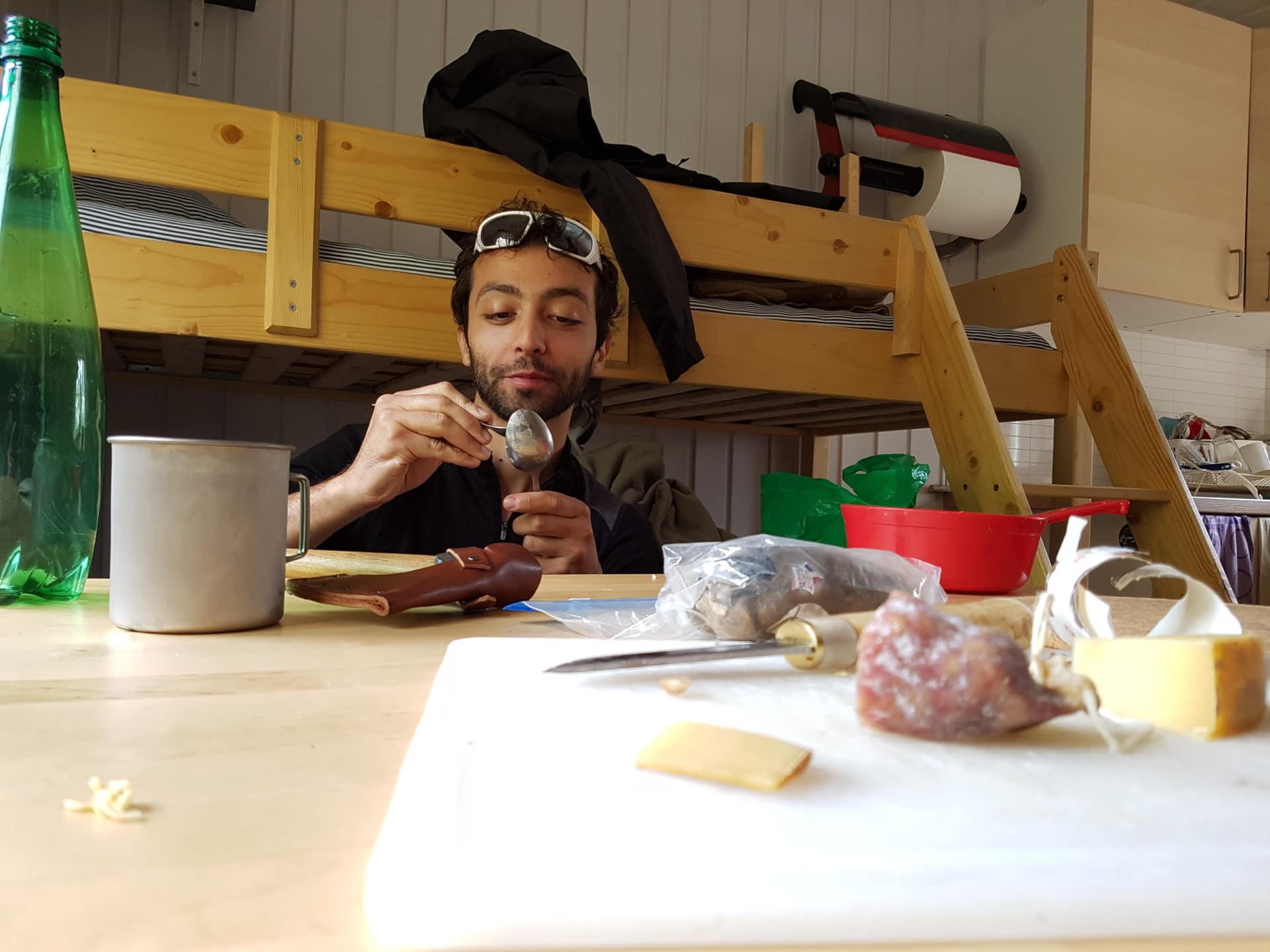
Vistasstugan is a beautiful place, it offers a nice view of the mountains around and on the valley. There is also the beginning of the path for Nallostugan.
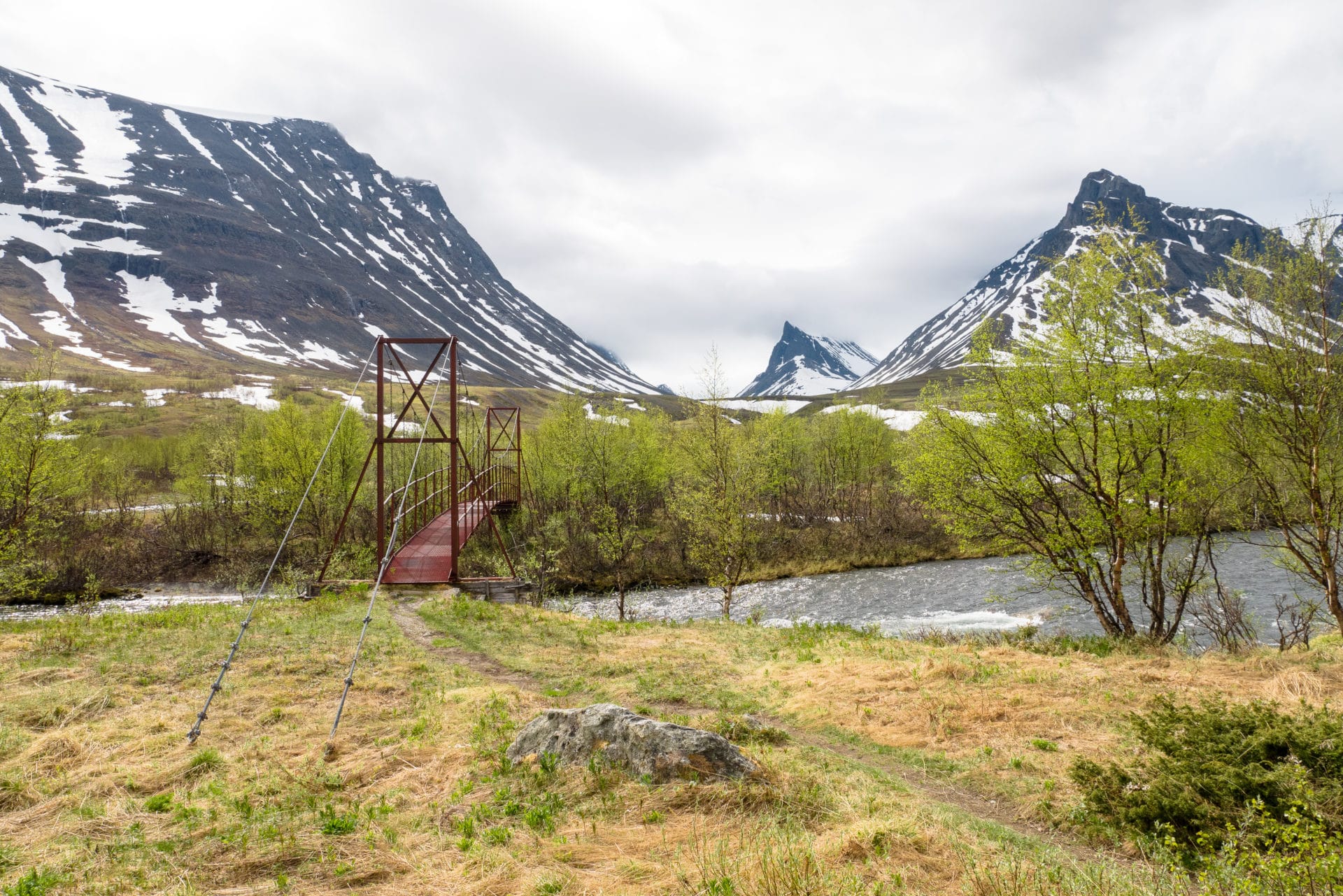
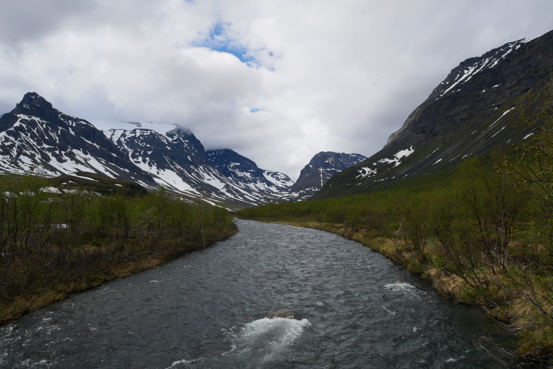
We will be joined in the early evening by two Us girls who come from Abisko, which is good news because it makes two groups that come from this direction, so it will be achievable. As we took three beds out of the four of the cabin they decide to settle the tent a little further, we will nevertheless share the meal and heat of the stove.
We will be in our bed soon because tomorrow we have a long road to Alesjaure.
Although the winter cabin is unguarded there is a small “fee” that must be paid (250SEK / night / person). You can pay the amount by bank transfer or at the STF office in Abisko (and maybe in Nikkaluokta but I have a doubt about it).
Day 4 : from Vistasstugan to Alesjaure
Destination Alesjaure after tidy up and cleaning of the hut. We are rested, the tape is put on the shoes of Matthew, the bags done … Let’s go for 19km!
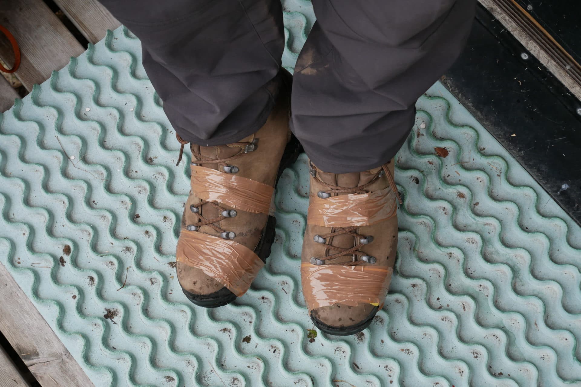
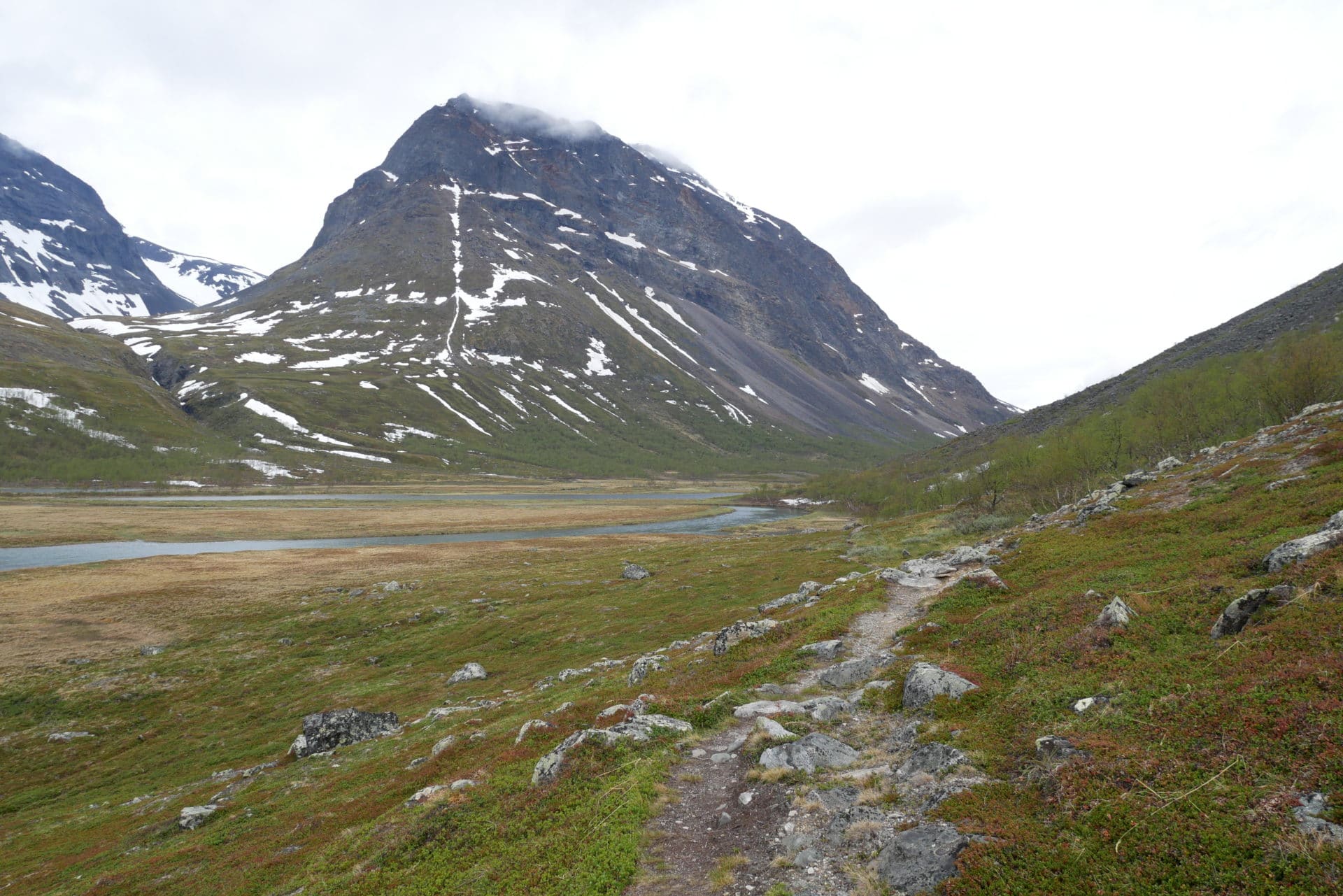
Today, we leave the valley of Vistas after three days to walk in it. We will begin to take a little altitude to arrive finally a small pass that will allow us to “descend” on Alesjaure.
The vegetation changes rapidly, the trees become more and more rare and stunted, the tundra takes the place. The bottom of the valley is beautiful and wild.
We will have the chance to pass not far from a reindeer couple shortly after departure. The reindeer are here accustomed to humain since they belong to the Sami people and are parked several times a year to be counted or marked.
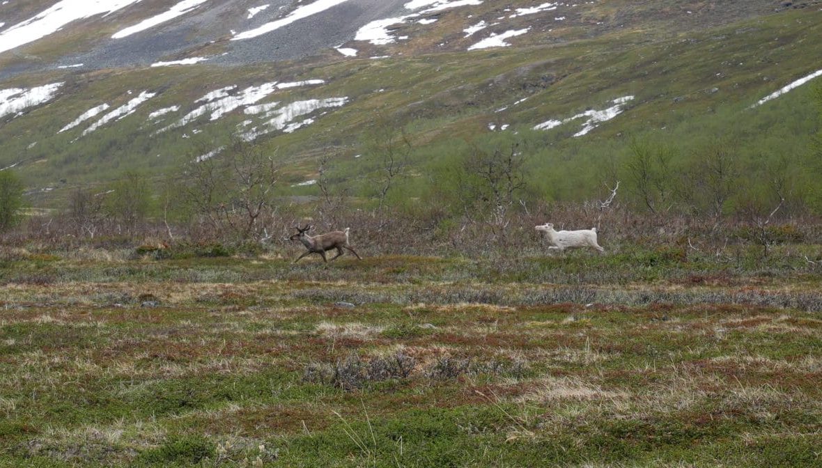
The path is good and relatively dry on this portion. We’re moving forward quickly.
We will have lunch break in front of a Renvaktarstuga hut(private hut owned by Sami people).
Further on we cross the Moarhmmàjhoka on another small bridge, all on the same kind, simple but efficient. Just behind, we start the climb on the pass. Last look at the valley of Vistas who will have kept his promises in terms of landscapes and isolation.
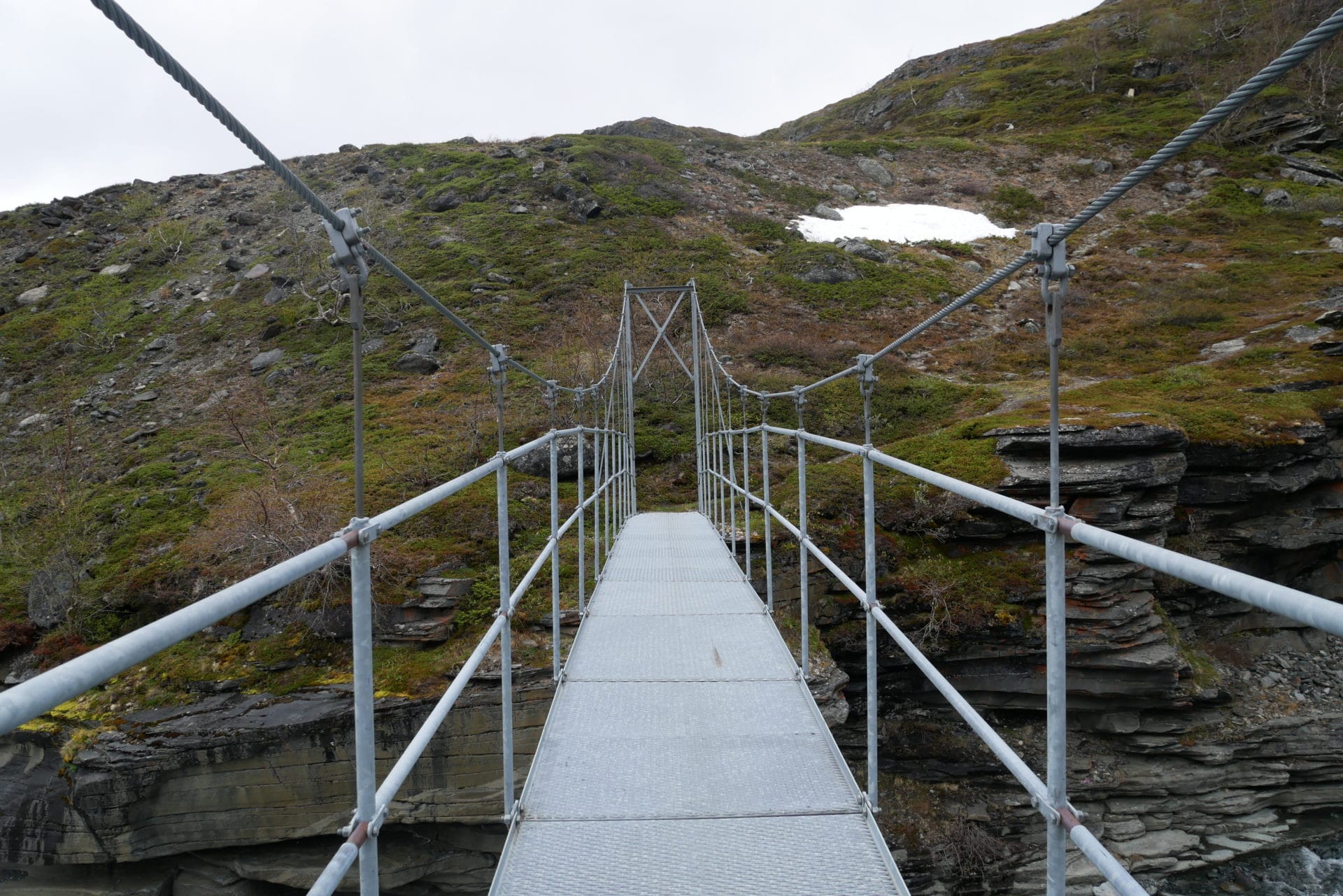
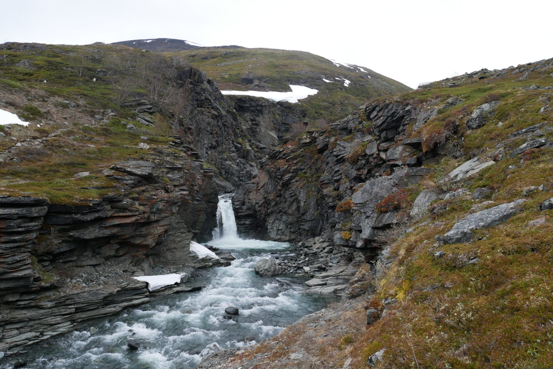
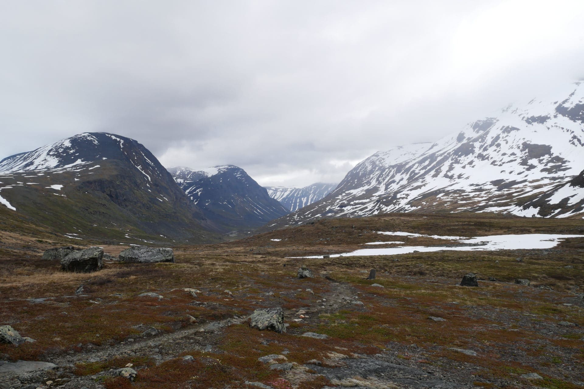
We then cross three groups, some Swiss, Estonians and Germans who all come from Abisko. They give us all the same version of the way, ie achievable but extremely wet and snow is often above the knees between Alesjaure and Abiskojaure … Despite the fight that seems to be waiting for us, we will make it which is better than than turn around (the US girls of the previous day still told us that a group of 9 people had called the helicopter to Alesjaure to go back…).
The path passes here on a kind of plateau. We’re starting to get our first snow. This one is rather good and is none of a problem to us. We feel that we are in altitude because the trees are almost absent and the lakes still partially frozen!
The hut of Tjatjajaurekåtan is a ruin, it can offer a relative shelter to the wind for a break.
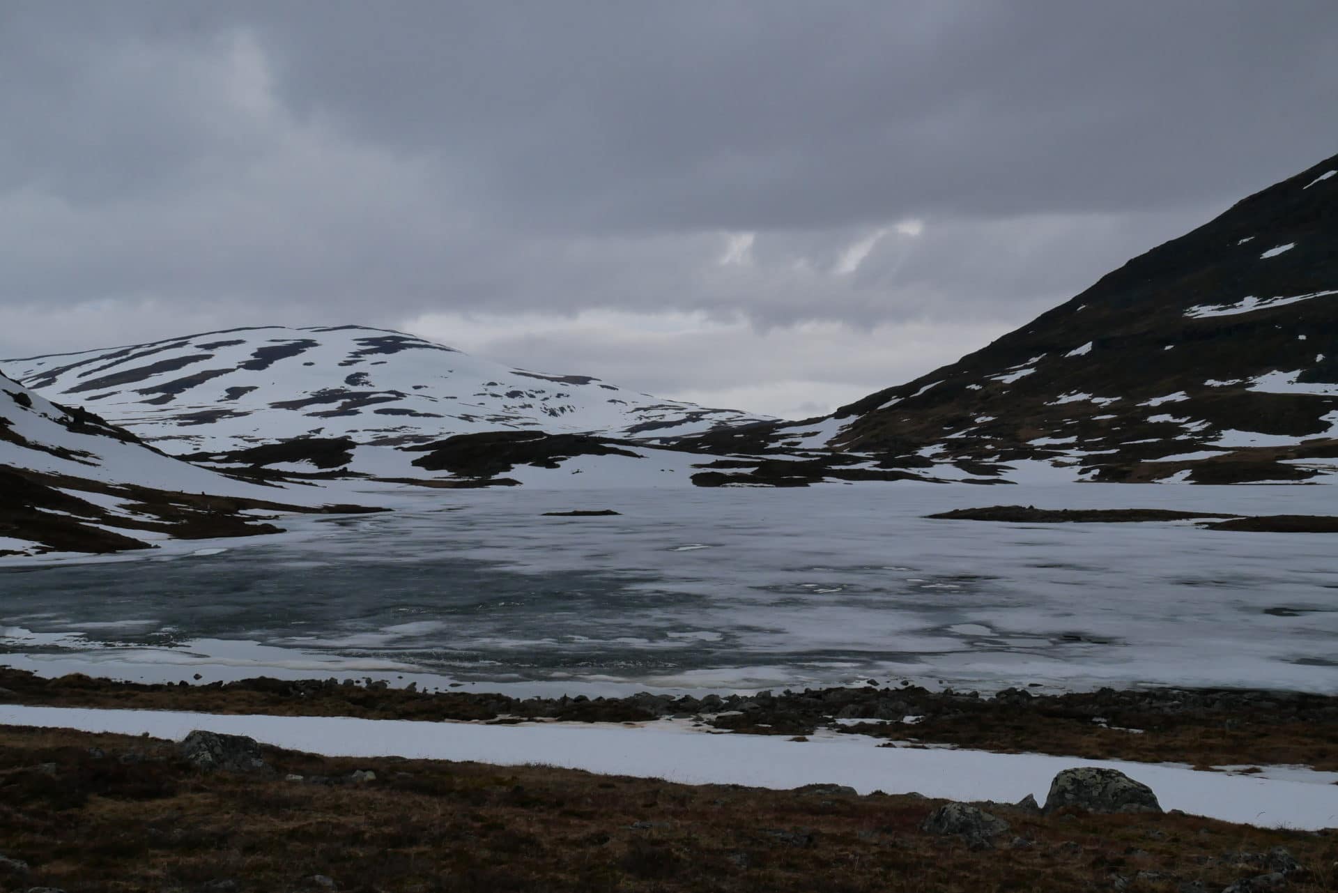
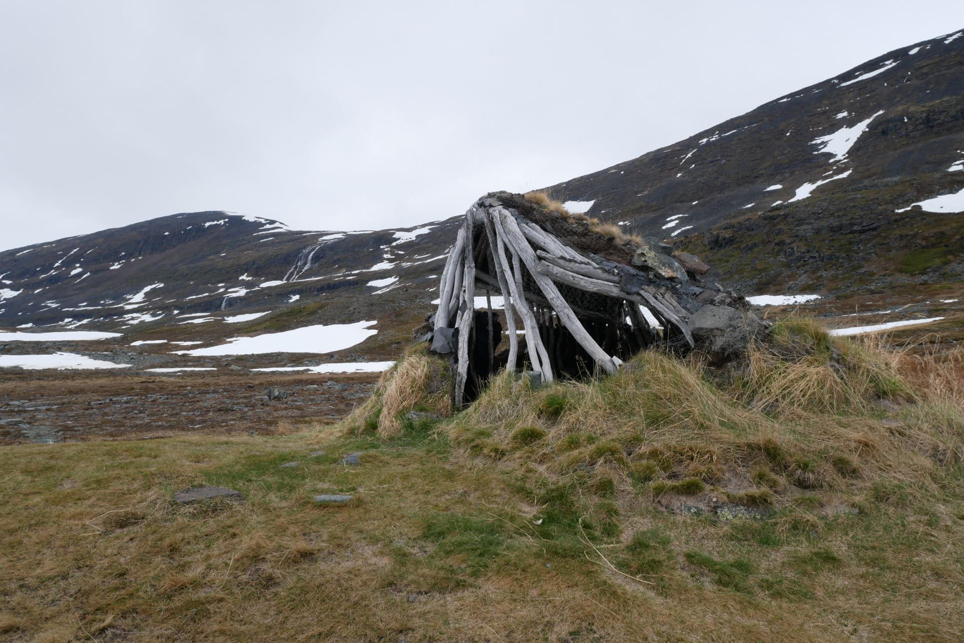
We quickly begin the “descent” on Alesjaure. During this one we pass not far from Alisjàrvi a Sami camp still unoccupied because it is a little early in the season. The view of the lake makes it clear that there is a lot of snow on this part of the Kungsleden.
As it begins to be late in the afternoon the snow has softened, so we pass a little through but nothing terrible for now. A few river crossings and finally we arrive at Alesjaure.
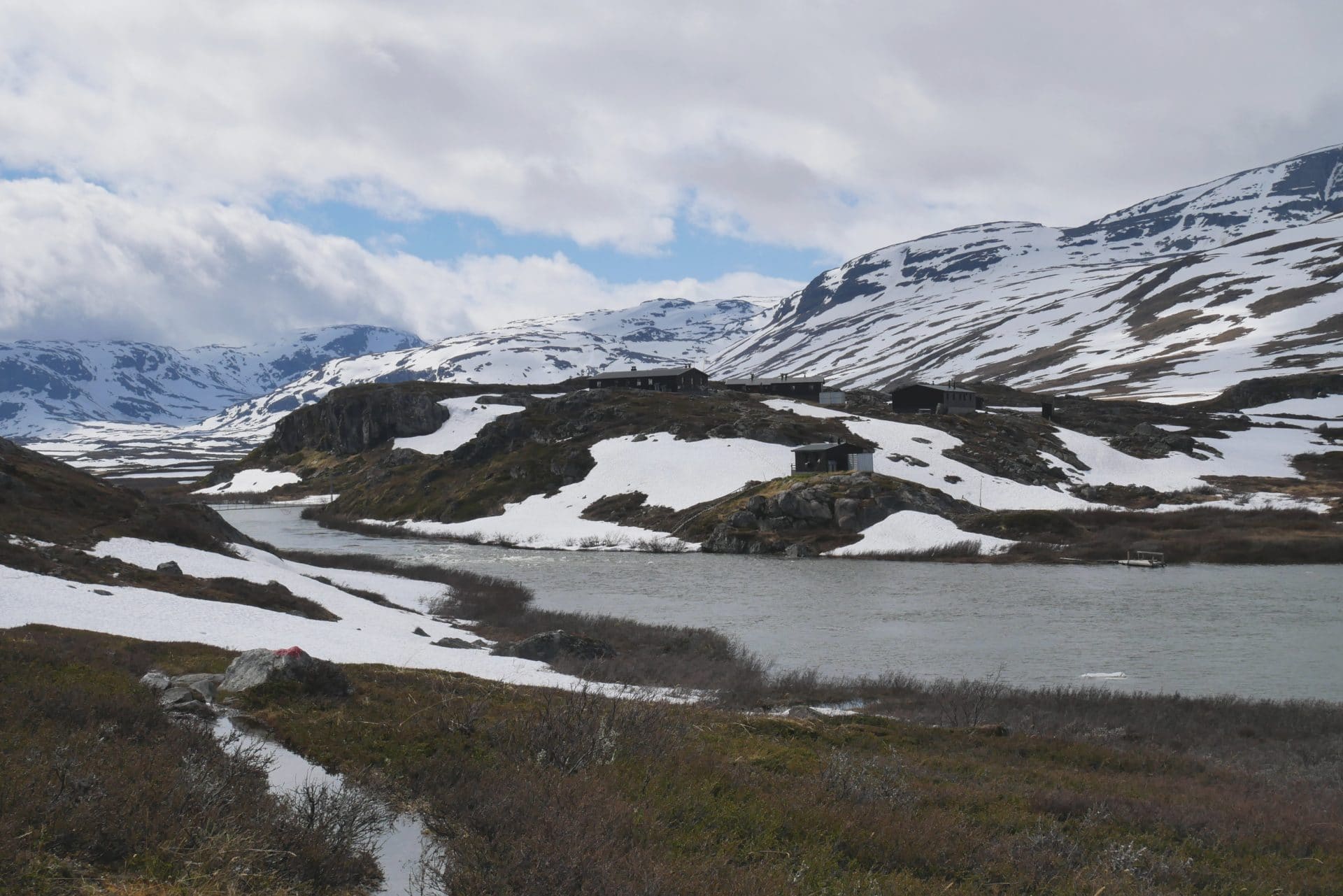
Alesjaure is a big installation, there are quite a few cabins. I do not know how many people can be welcomed here but we think there must be quite a few people on the Kungsleden in the high season.
We will make a stop at the main cabin, time to chat a little with the friendly guardians about the field conditions and to give them of feedback about the Vistas side.
We will not stay here, however, we prefer to set the camp a little further. We go on 300 meters further and find a beautiful location that offers a breathtaking view of the valley. The vegetation has changed a lot, here only shrubs and grass are found.
The camp is quickly installed, we relax because we walked a fairly long distance. Matthieu goes in search of berries and brings back a few black berries (it’s a shame because there are still few berries given that the winter was late).
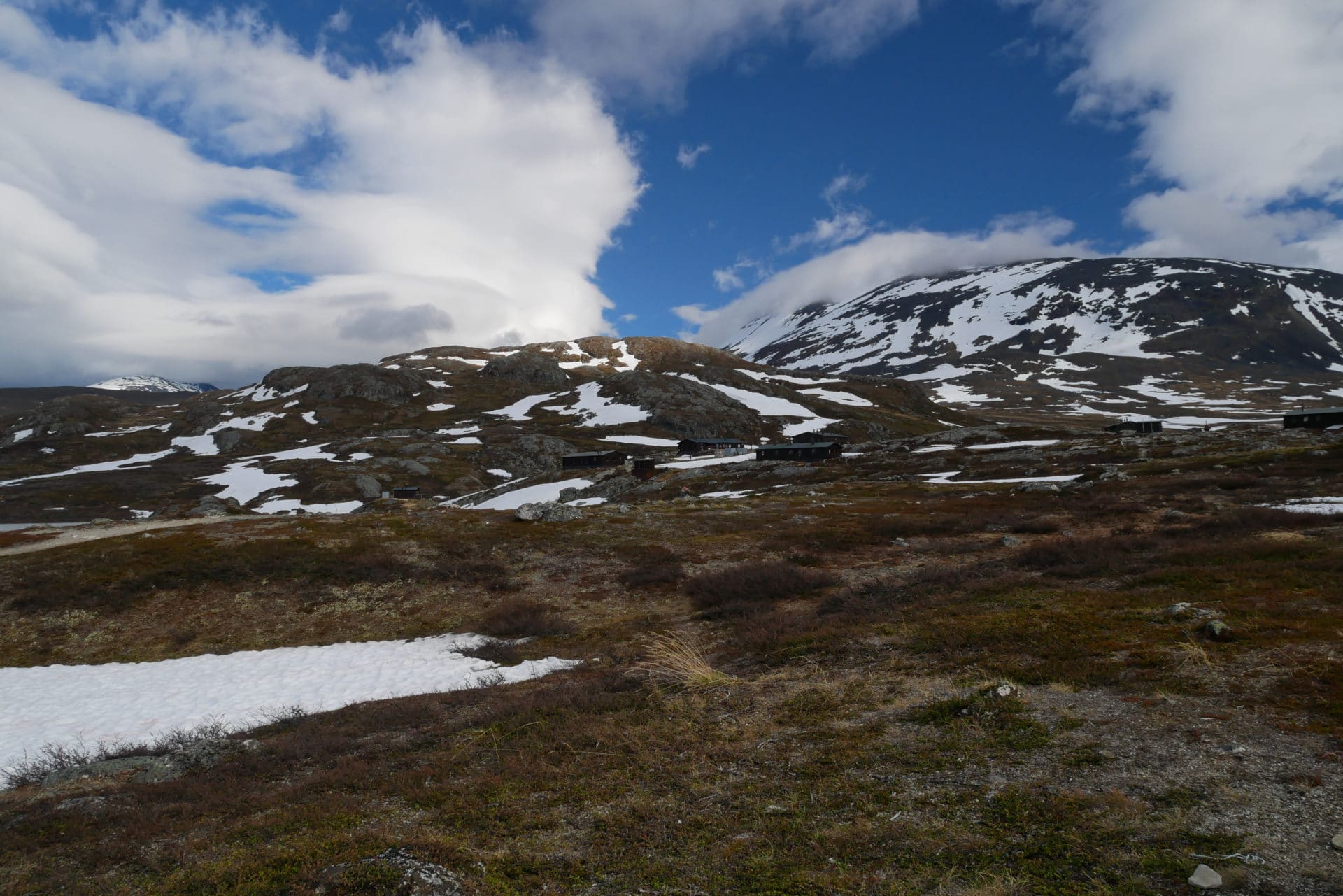
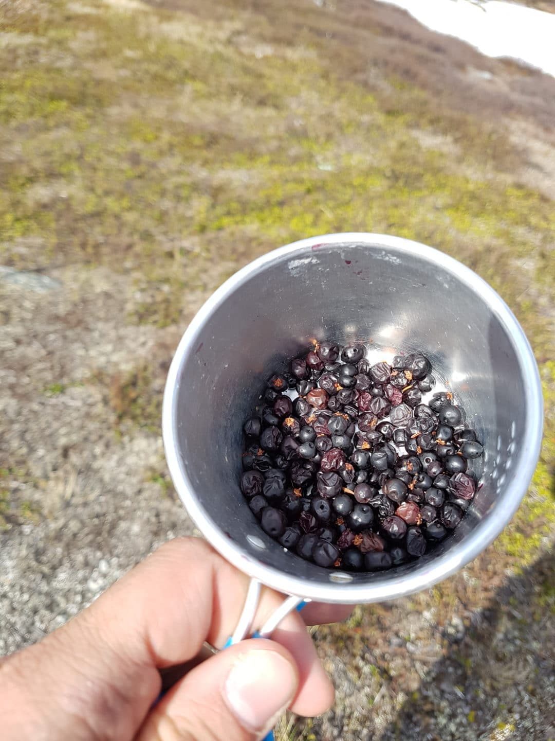
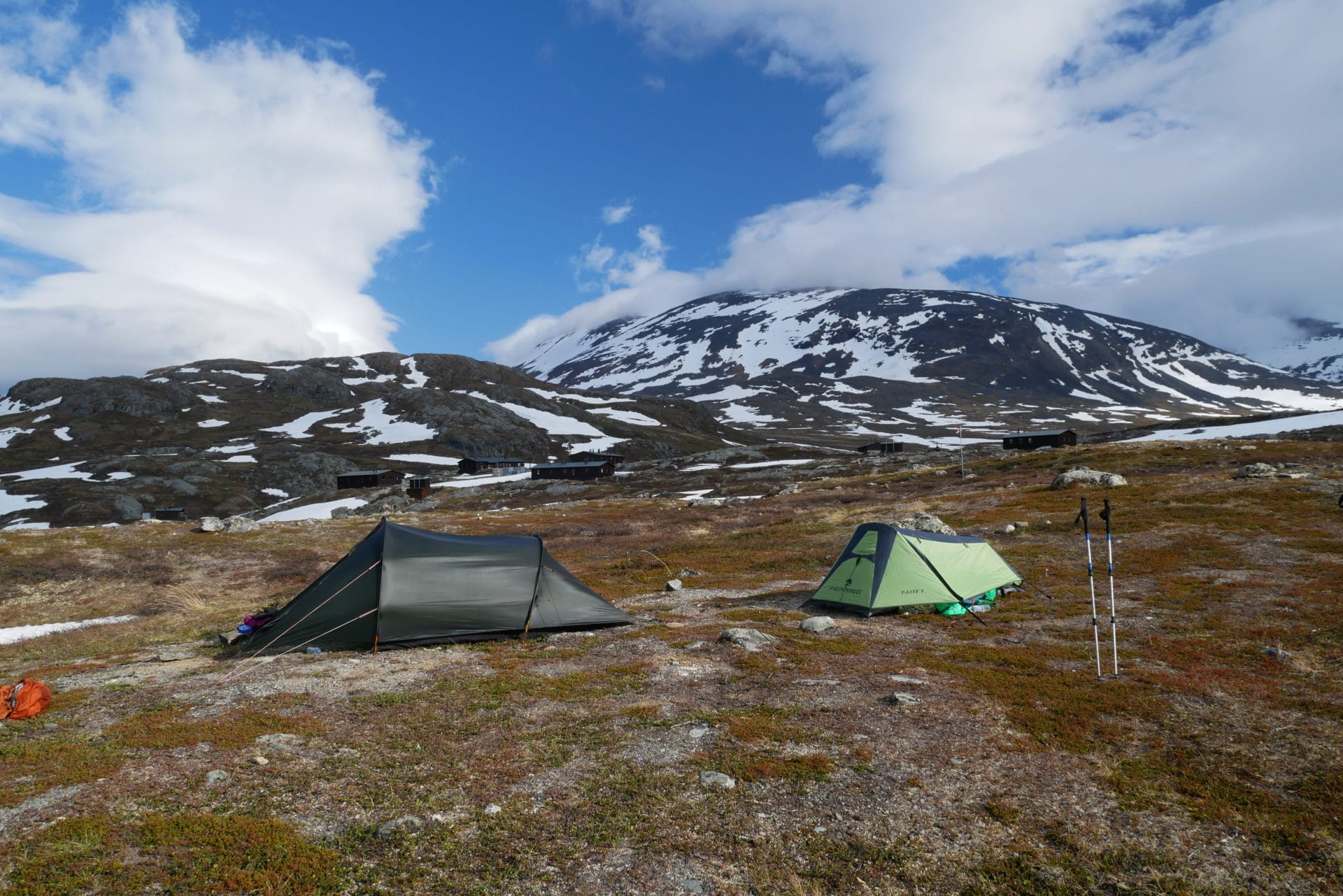
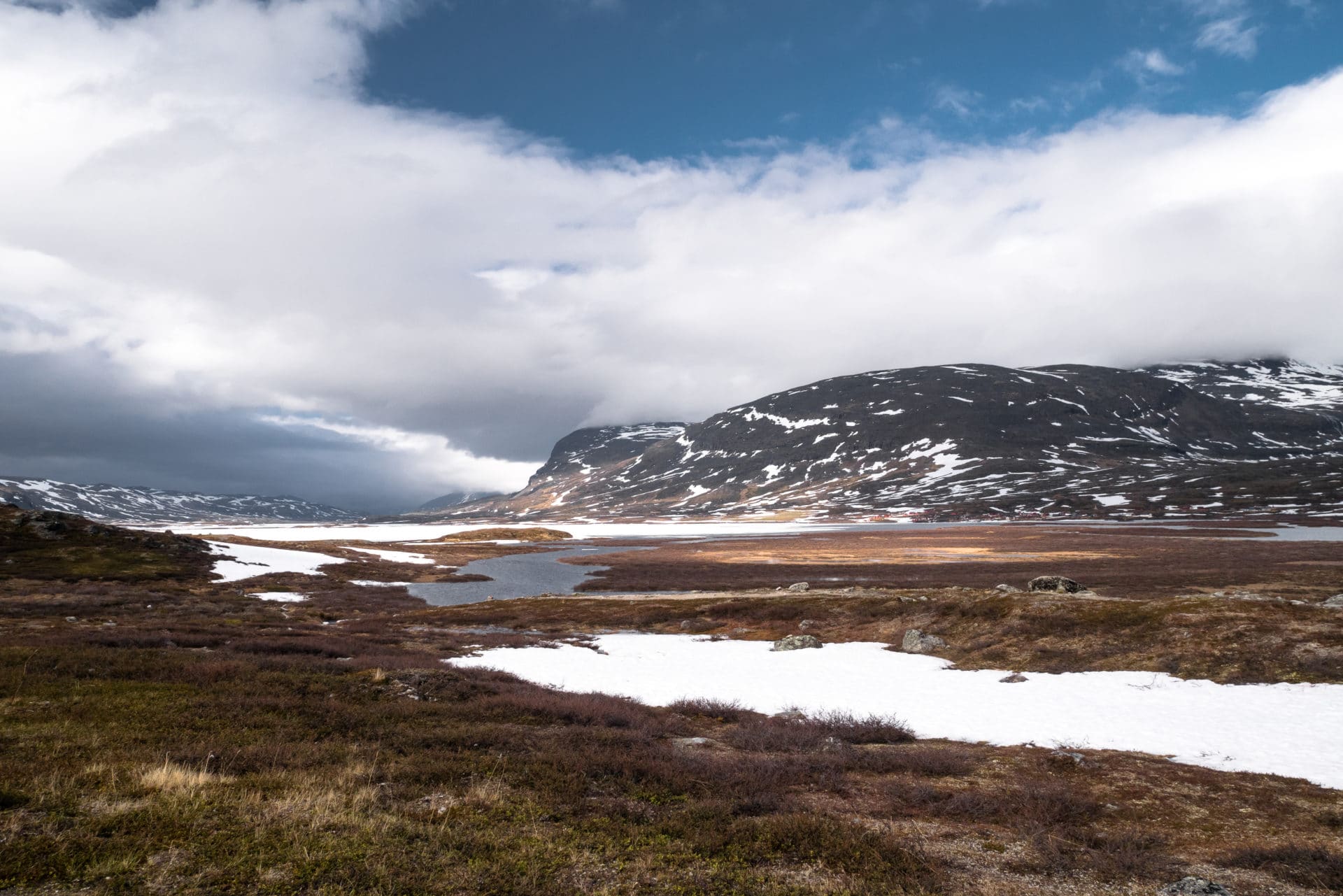
The end of the evening will be cool because the wind blows strong and it descends directly from the mountains. Tomorrow awaits us a difficult day, so we eat a lot and we go to bed early.
Day 5 : a hard day (or not) !
One day more in deep Swedish Lapland and not least because today we attack the part so dreaded since the start.
Our strategy for the day is established: the majority of the groups met followed the “true” path of the Kungsleden along the lake but the “U” shape of the valley makes the water run and stagnates in this zone which makes the snow bad so one ends up soaking wet in the snow / swamp mix. So we chose to go higher up to 800-850m in order to be in an area where the water does not stagnate and to take advantage of the altitude to have a snow a little colder.
According to the feedbacks we had the main difficulty is concentrated on the crossing of an important river 2km after Alesjaure and whose snow bridges in the lower part are broken, we hope to find good ones on our way, upper.
We leave, after five days each now has its reflexes, its rituals, we are now 100% in the trek. We must admit that the absence of a network is positive for this because we are really disconnected from the outside world.
The beginning of the way is good and we take advantage of the cool morning to progress rapidly on the hard snow. We stick a little a few times but nothing dramatic. The famous river is approaching but for the moment no problem and to top it all it is beautiful!
After 45min we arrive to the river, we quickly understand why it can cause problems: it is relatively wide and the flow is impressive. Luckily we fall directly on a snow bridge that seems solid. For safety, we go through each turn; and everything goes fine! It is a moment of joy because our apprehensions of the previous days are flying, the weather is beautiful and the scenery in this place is magnificent! We take the time to savor it.
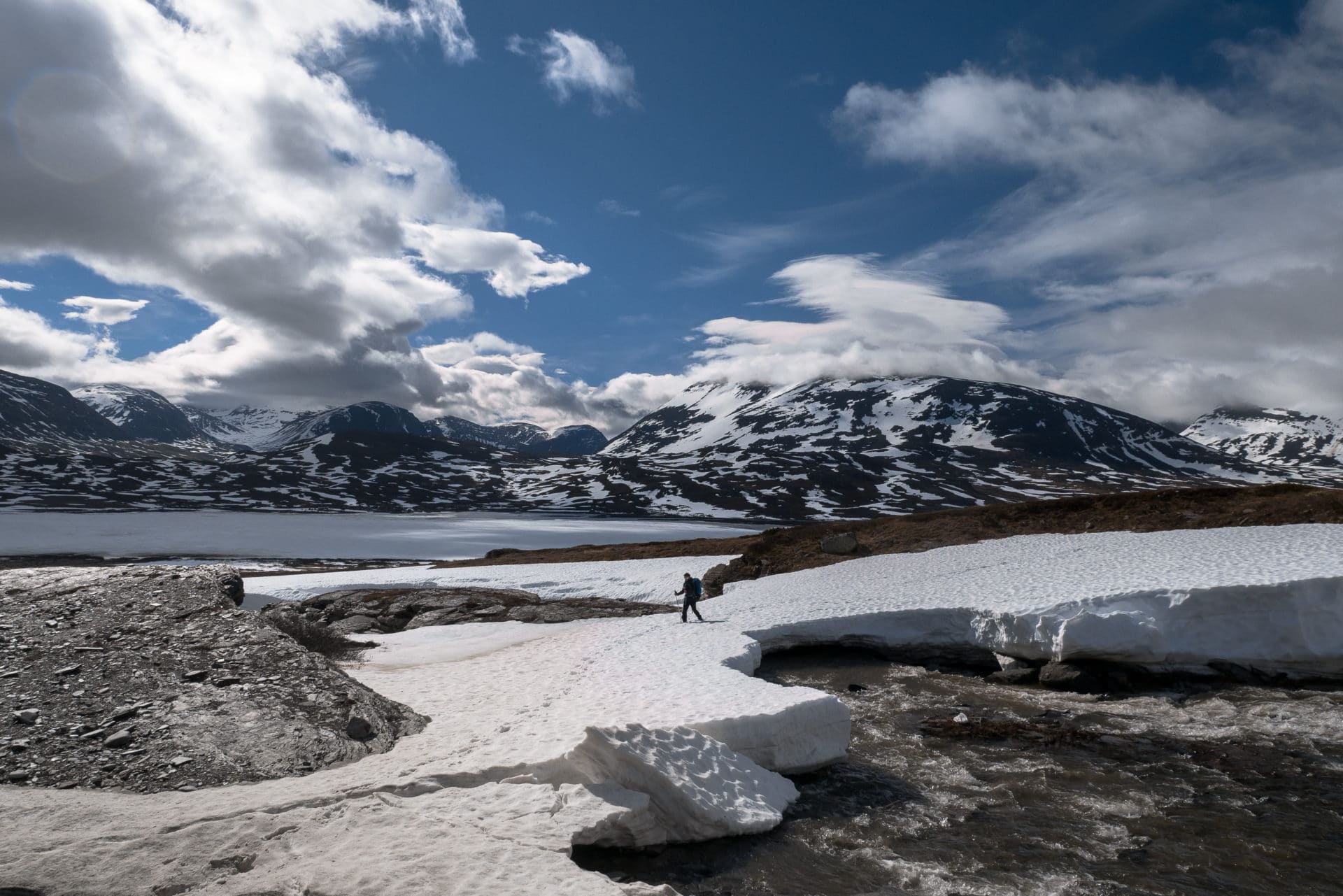
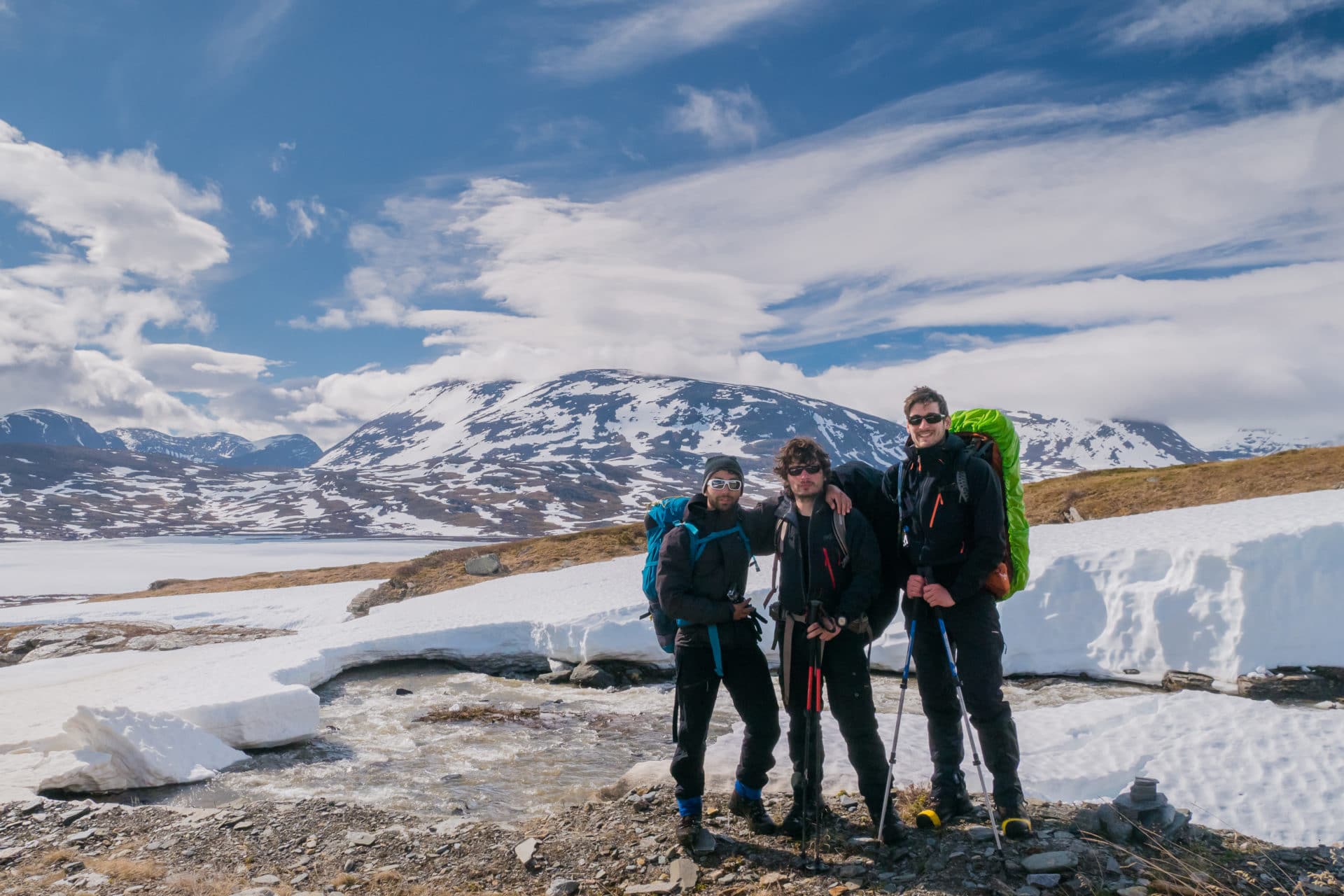
We then stay on the heights because it is clear that the bottom of valley is gorged with water. We walk relatively fast, there is nobody, it’s nice and the sun does not spoil anything at all. The view of the valley, upstream as well as downstream, is magnificent.
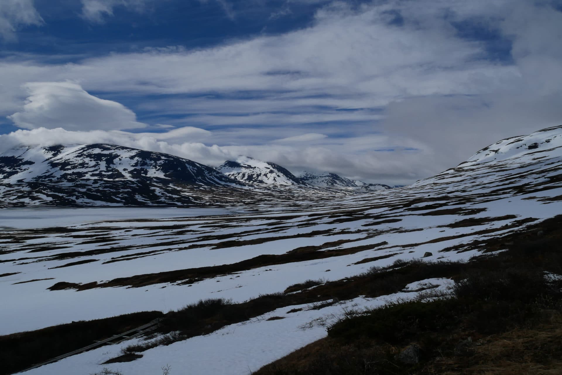
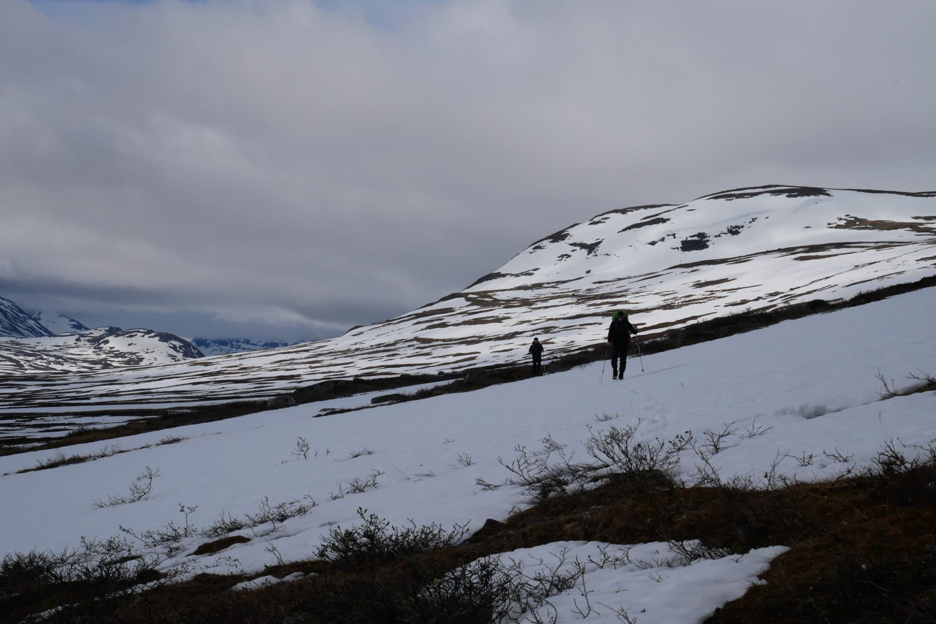
We meet the Kungsleden at the level of a “rengärde”, a large circular enclosure to park the reindeers during the annual counts. The path is much more muddy but fortunately the sections arranged make it possible not to be too wet (even if in the end the water finds its way into the socks).
The use of gaiters and really waterproof footwear is recommended for the whole trek to limit the penetration of water.
We have progressed much faster than expected but it is useless to run because we still have quite a few days ahead and so we have time to go slow. We decide to spend the afternoon in the small cabin of Radunjarga, it is a simple shelter a little away from the Kungsleden. It is composed of a lock (with shovels and brooms) and a large room with wooden benches, table and stove. The use of firewood is reserved for emergencies and there are no trees in the area, so there will be no fire today.
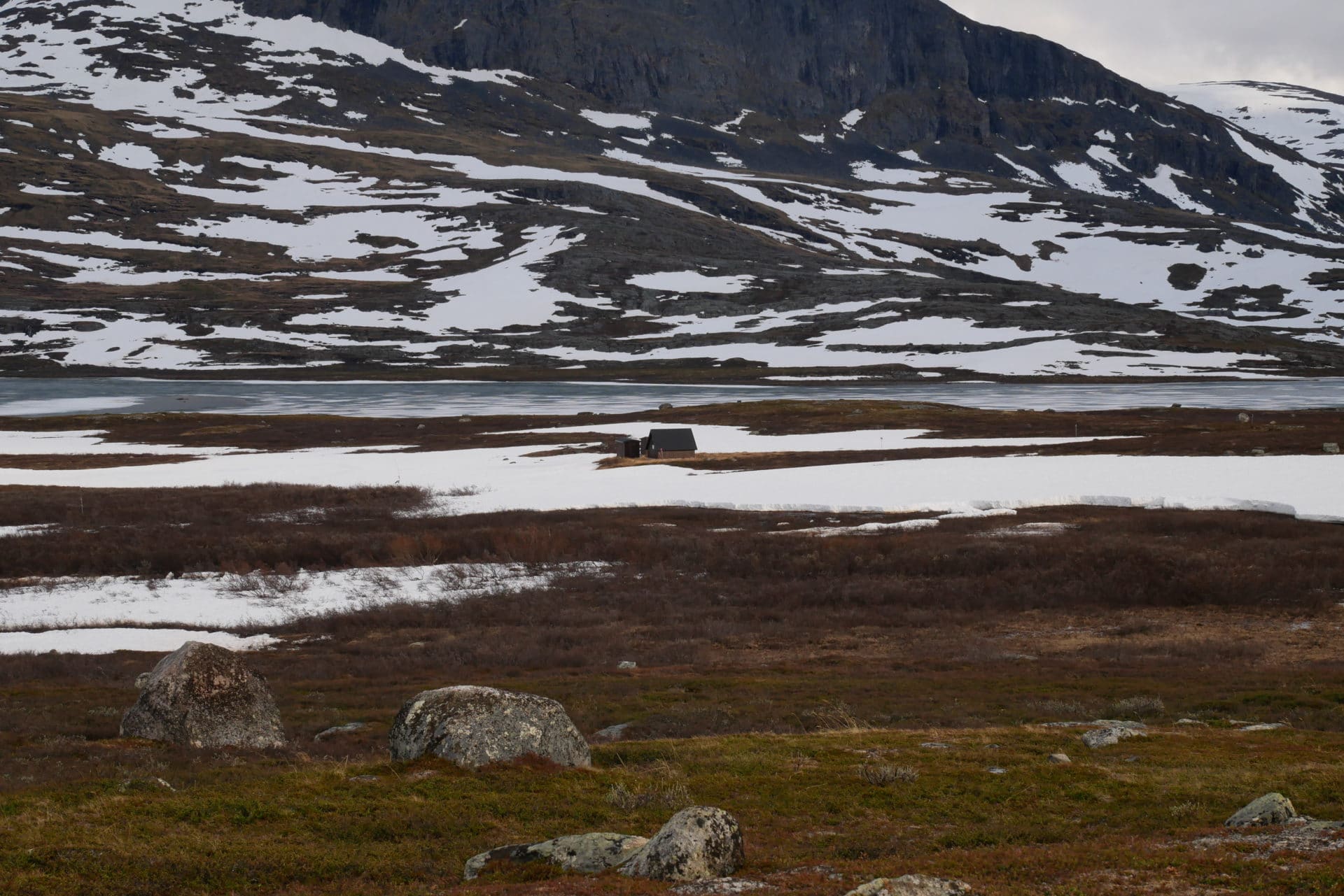
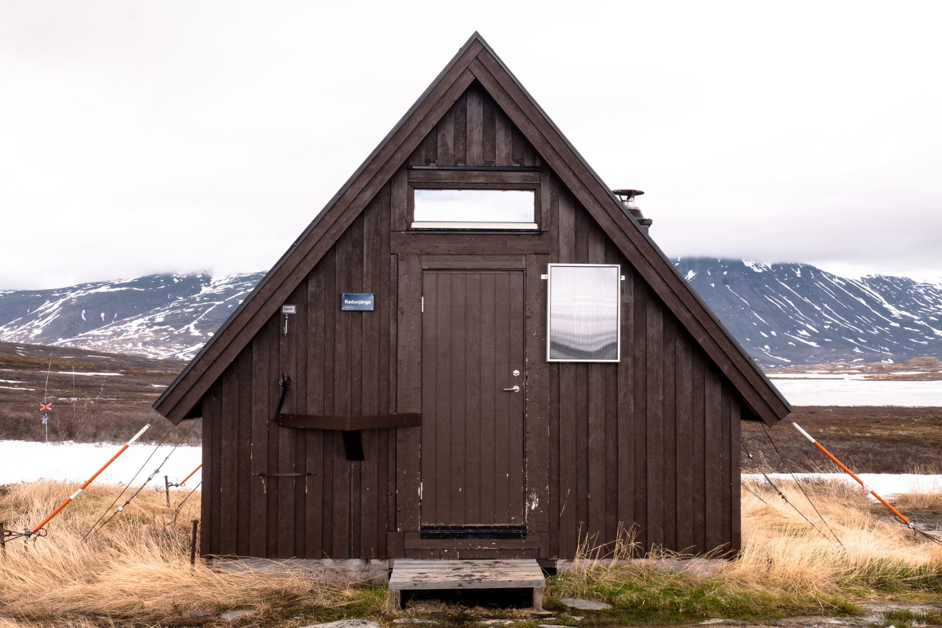
The afternoon will start with a good lunch and even some homemade hot chocolate made by Matthieu with love.
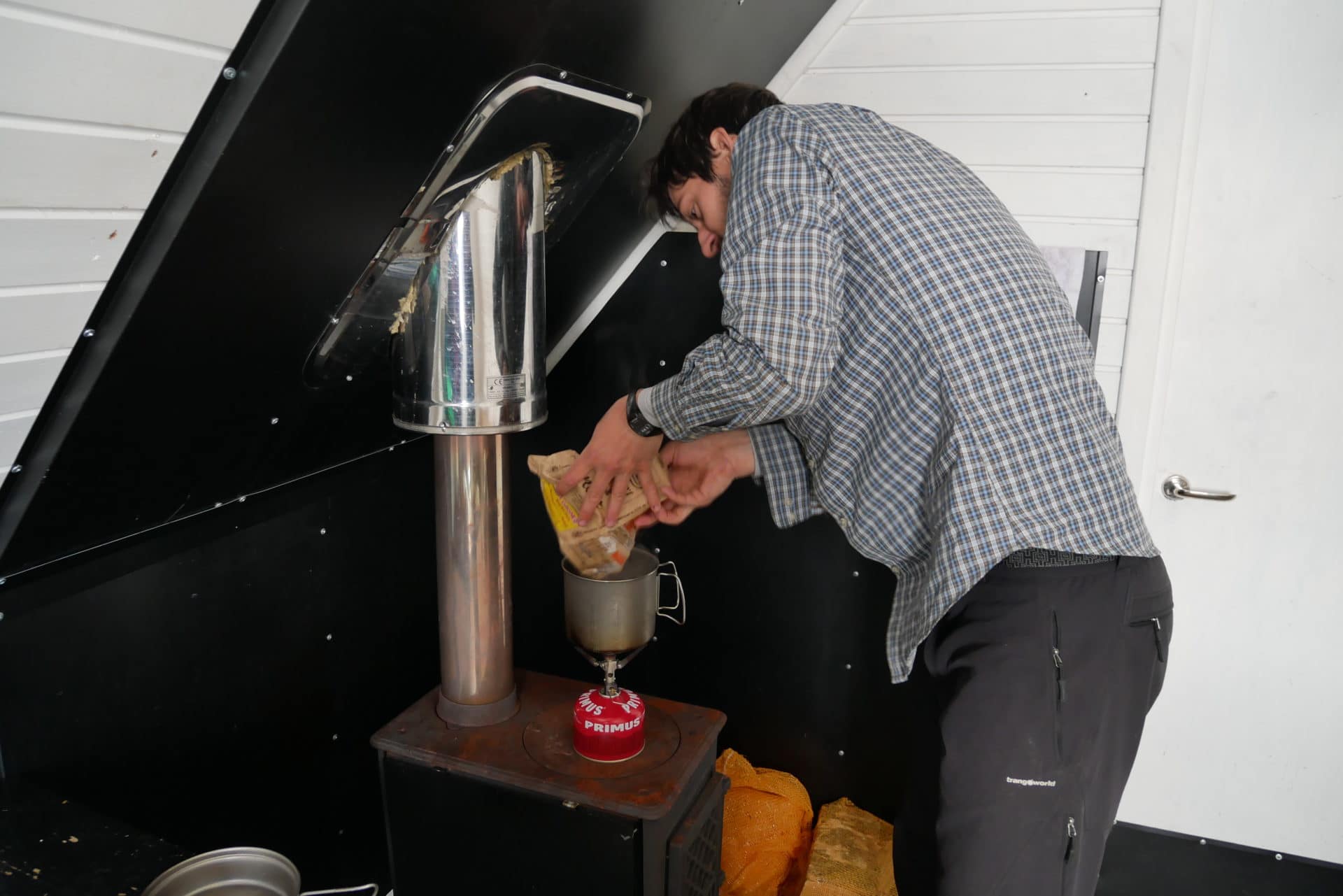
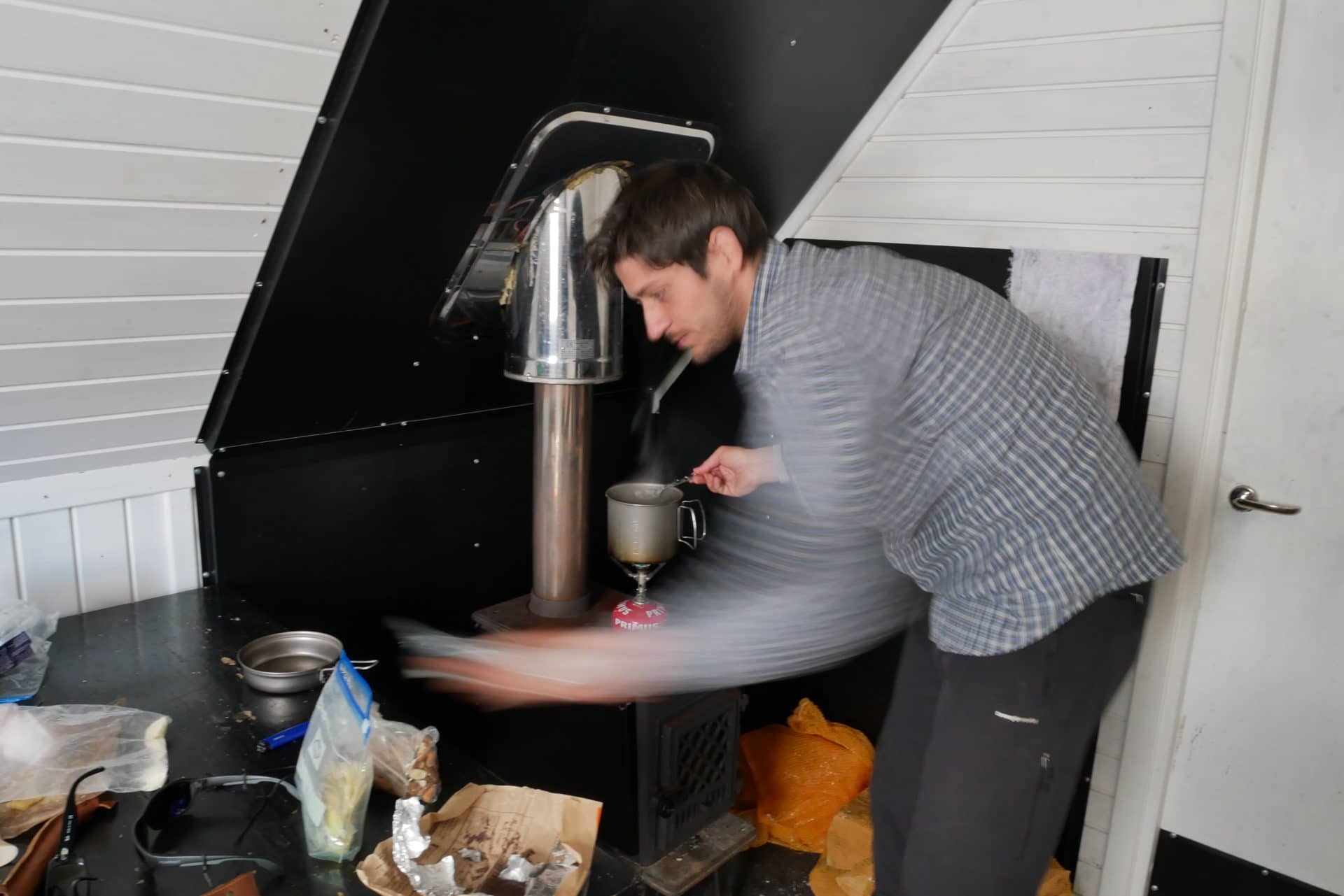
We will then spend our time between resting, water chores and card games. This moment in the cabin will have been a small pause in the trek, the comfort there was minimum but just as it needed to be.
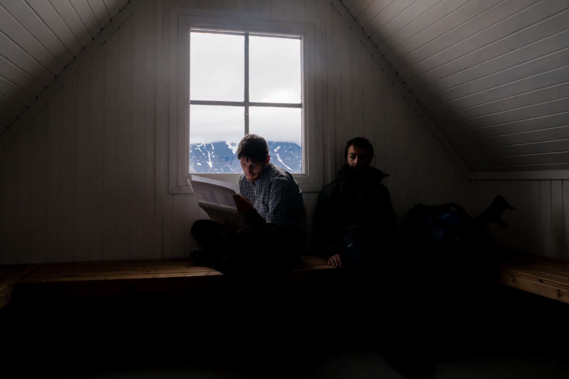
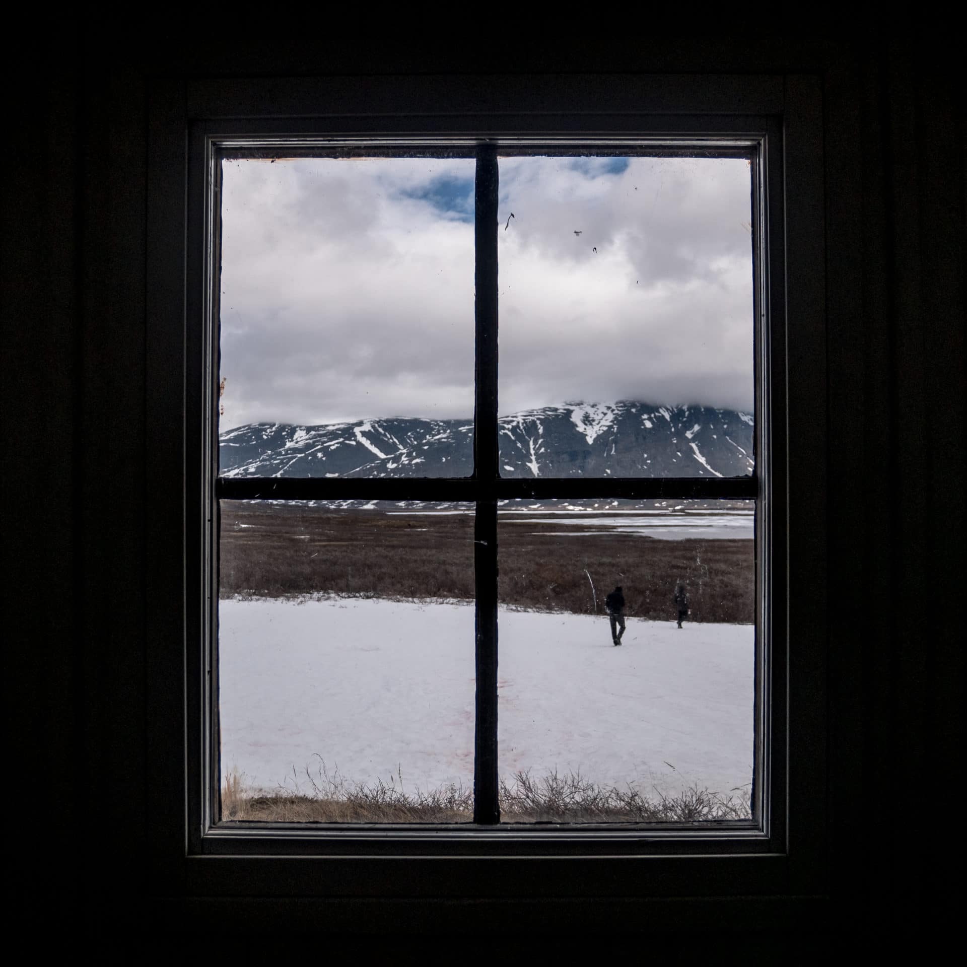
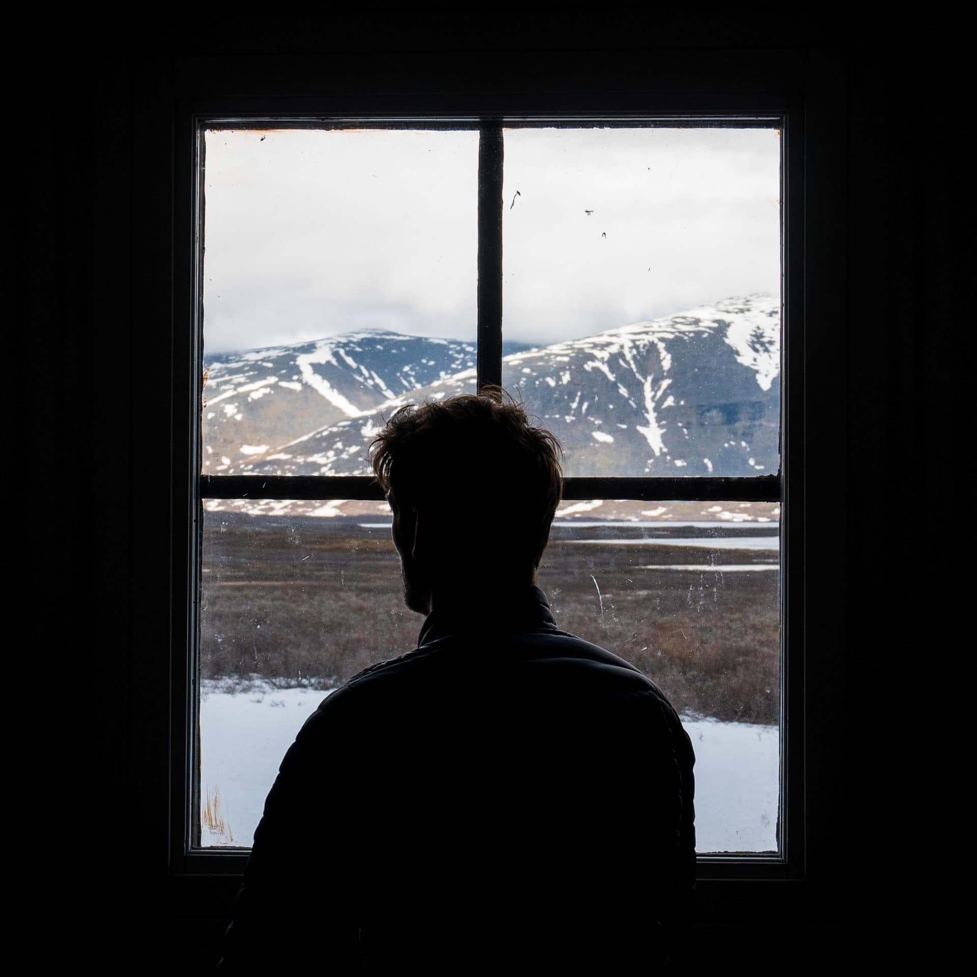
We chose not to sleep in the cabin in order to be quiet if people arrive late. The camp will be set up a little further on the heights to enjoy a dry location. The landscape and the light are superb.
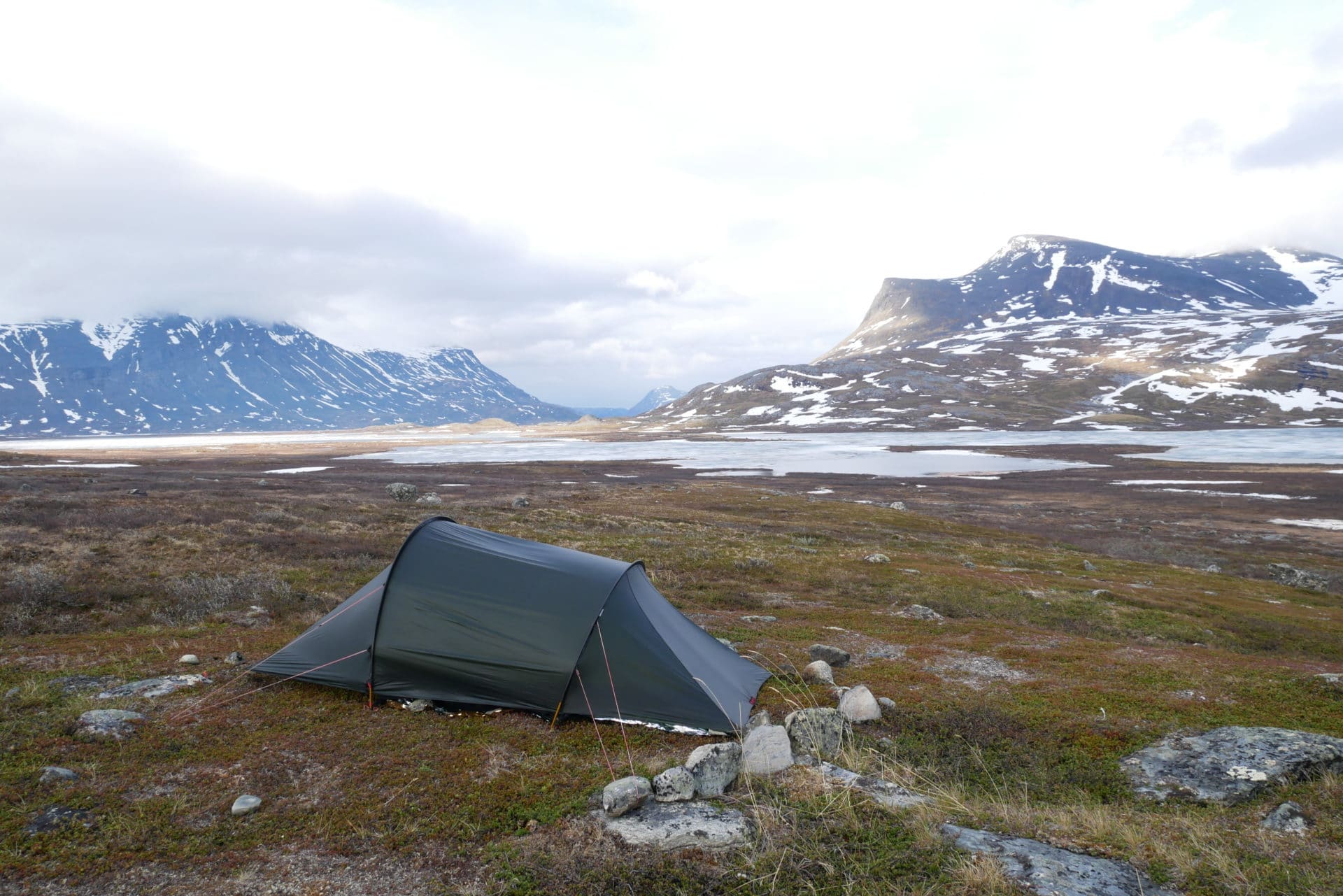
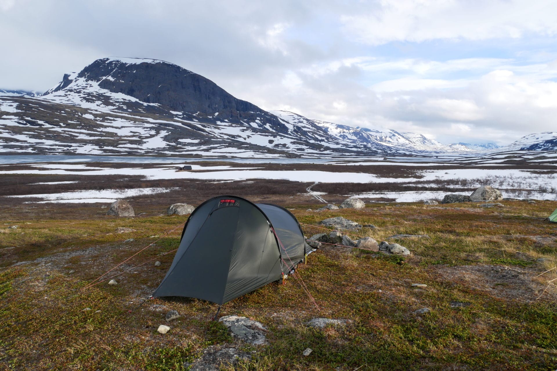
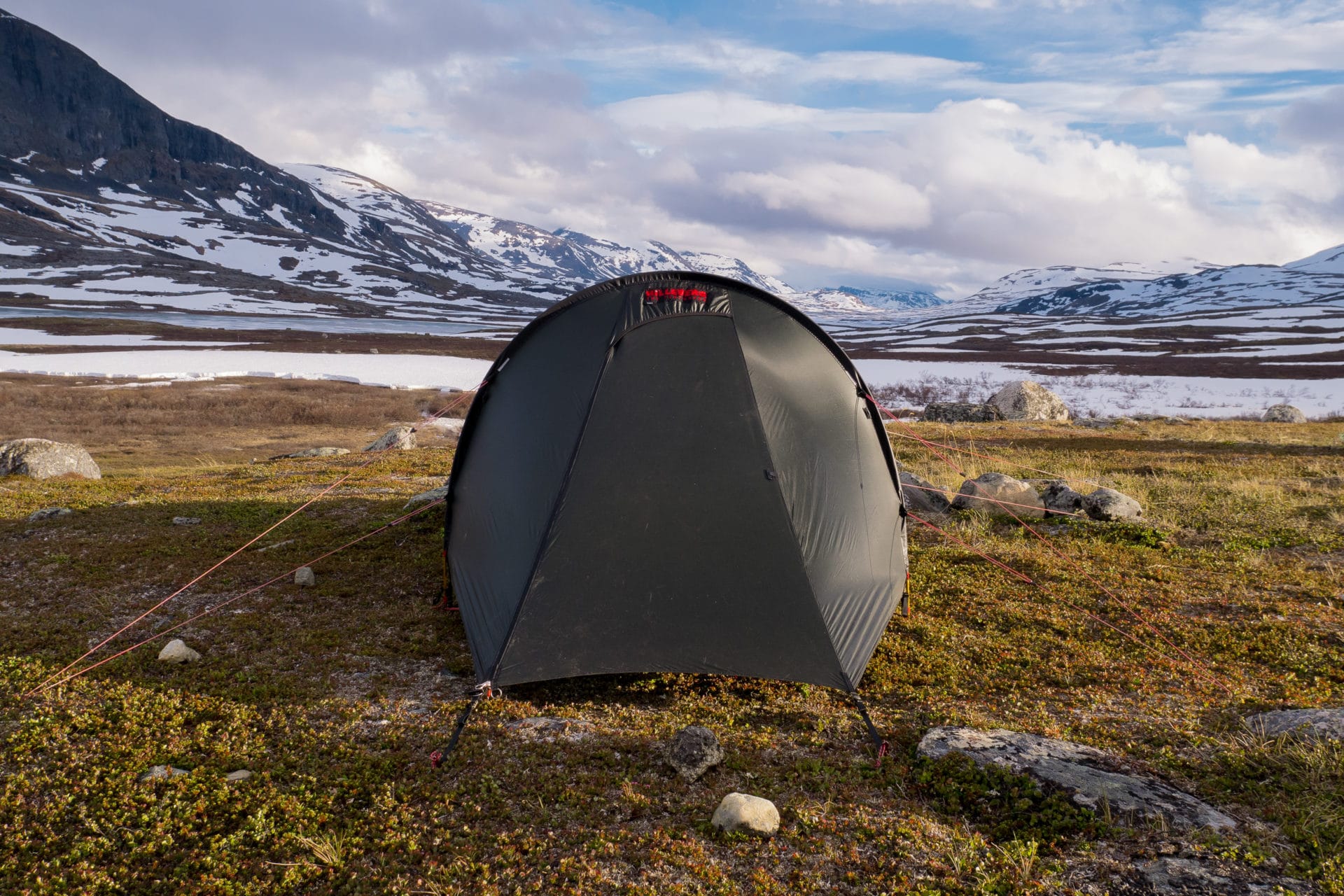
I feel relieved and serene at the end of the evening because I know we will be able to join Abikso; Even the shoes of Matthew and their soles appear to want to hold.
We sleep under a beautiful midnight sun in the calm of the Lapland …
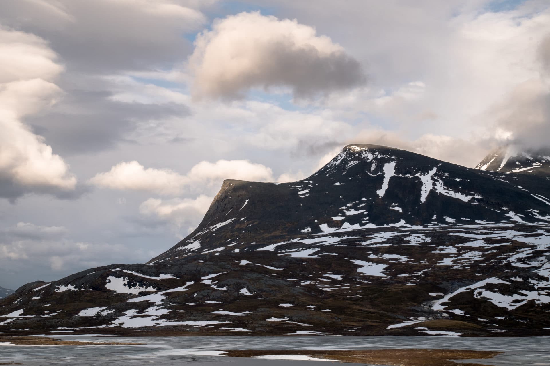
Day 6 & 7 : change of plan and resting
It was not hot that night but we still slept well. We are back on the Kungsleden. There is a lot of snow but we are still progressing quite quickly.
We are on the sixth day and we still have three days left before returning to Kiruna. We are only two days away from Abisko. So we decided to change the plans a little bit: we are going to change the valley for the Kamajakka river because we are starting to meet more and more people here and we want to be more isolated. We also decided to stay two days at the same place to enjoy the nature, the quiet.
We will then branch off from the Kungsleden to Sami camp (a few hundred meters after the reindeer barrier). The path is then a bit muddy but it’s pretty. At 800m altitude, we climb a small hill to admire the valley below. The landscape is wonderful. The vision is going for miles on a succession of snow-capped peaks and lakes further down the valley. We can see the Sami camp of Rovvidievva in front of us. We settle down to snack while admiring Lapland.
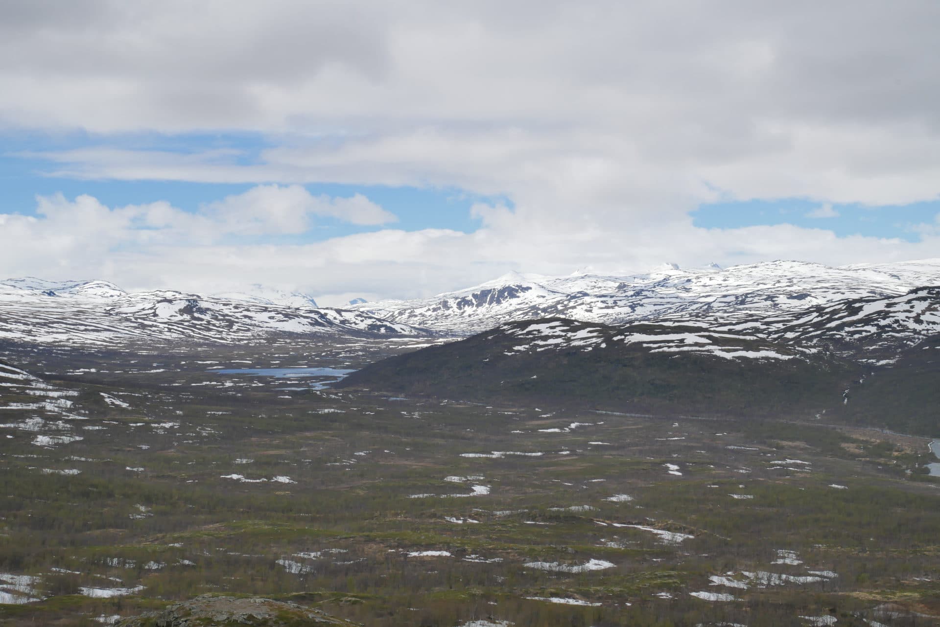
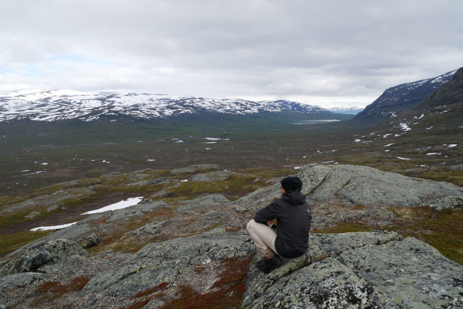
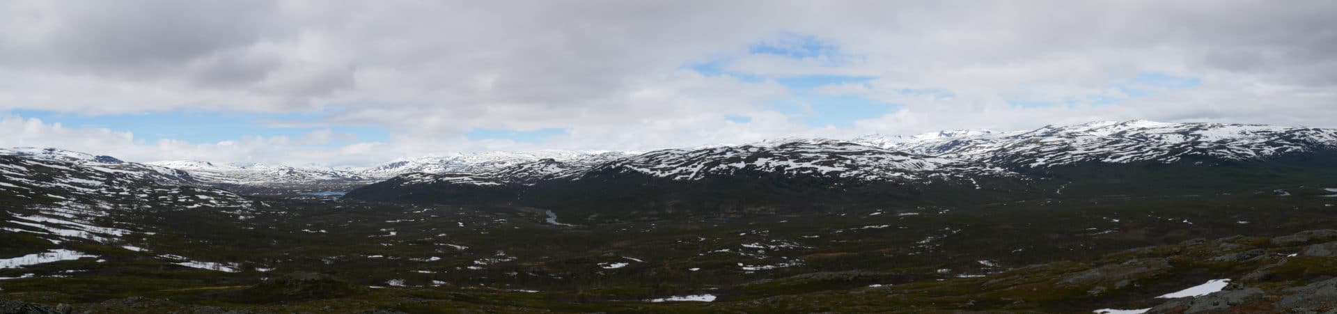
We begin the descent. The road is good, there must not be many people who passed here this year because there is no footsteps. We quickly arrive at the small bridge that spans the river Kamajakka whose flow and power are impressive. On the other hand, Quentin realizes that he lost his camera a little earlier, so he goes back to look for it and, fortunately, finds it quickly.
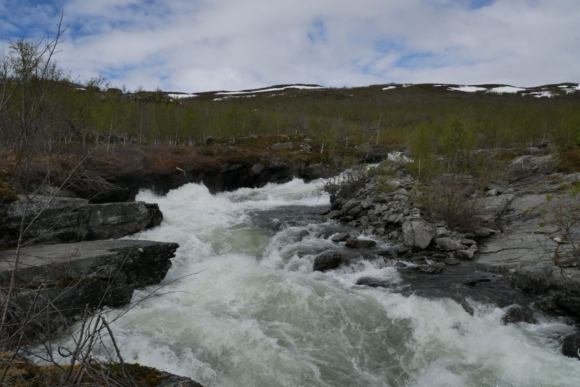
The Sami camp is not inhabited at present, so we pass quickly and continue north. The ground is particularly soggy, I hope we will find a nice place to set the camp.
We arrive towards the Hoiganjohka river after 2km. We only saw one interesting camp place for now. We leave the bags near the small bridge and we go in scouting in the area to find a good spot.
After some hesitation we find the perfect spot! Flat ground, superb view, river at 20m … We are even welcomed by a great sun just after setting the camp.
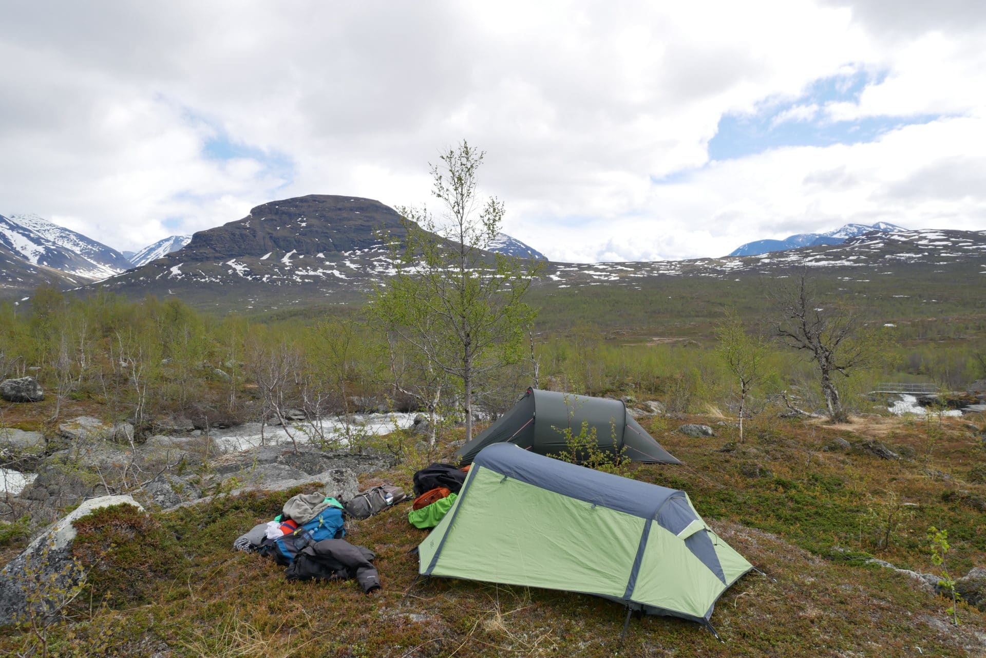
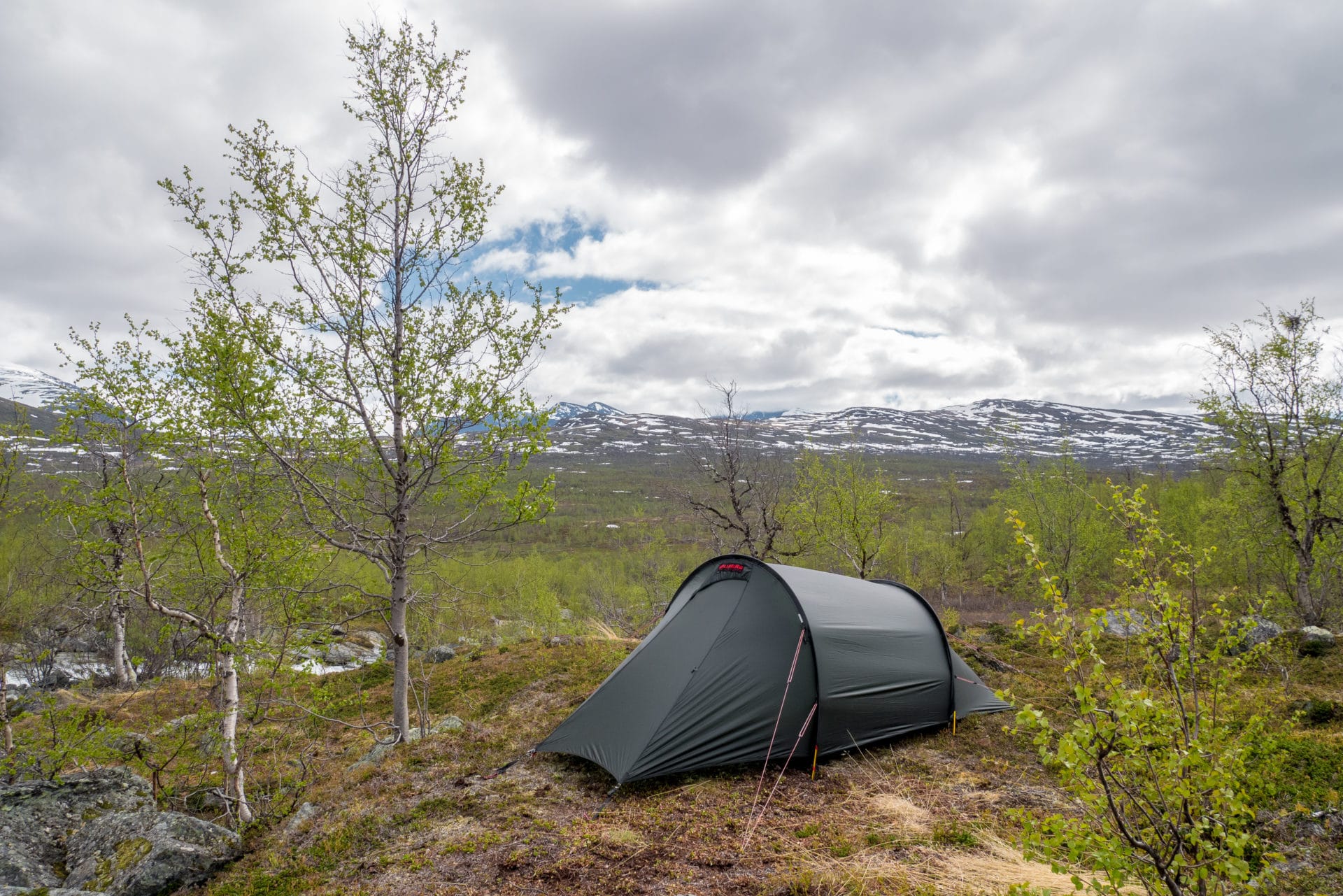
We settle for two days in our little camp. The rest of the day starts by eating a good lunch by the fireplace that we just launched. We will then share our time between farniente and workshop wood carving especially for Quentin and Matthieu.
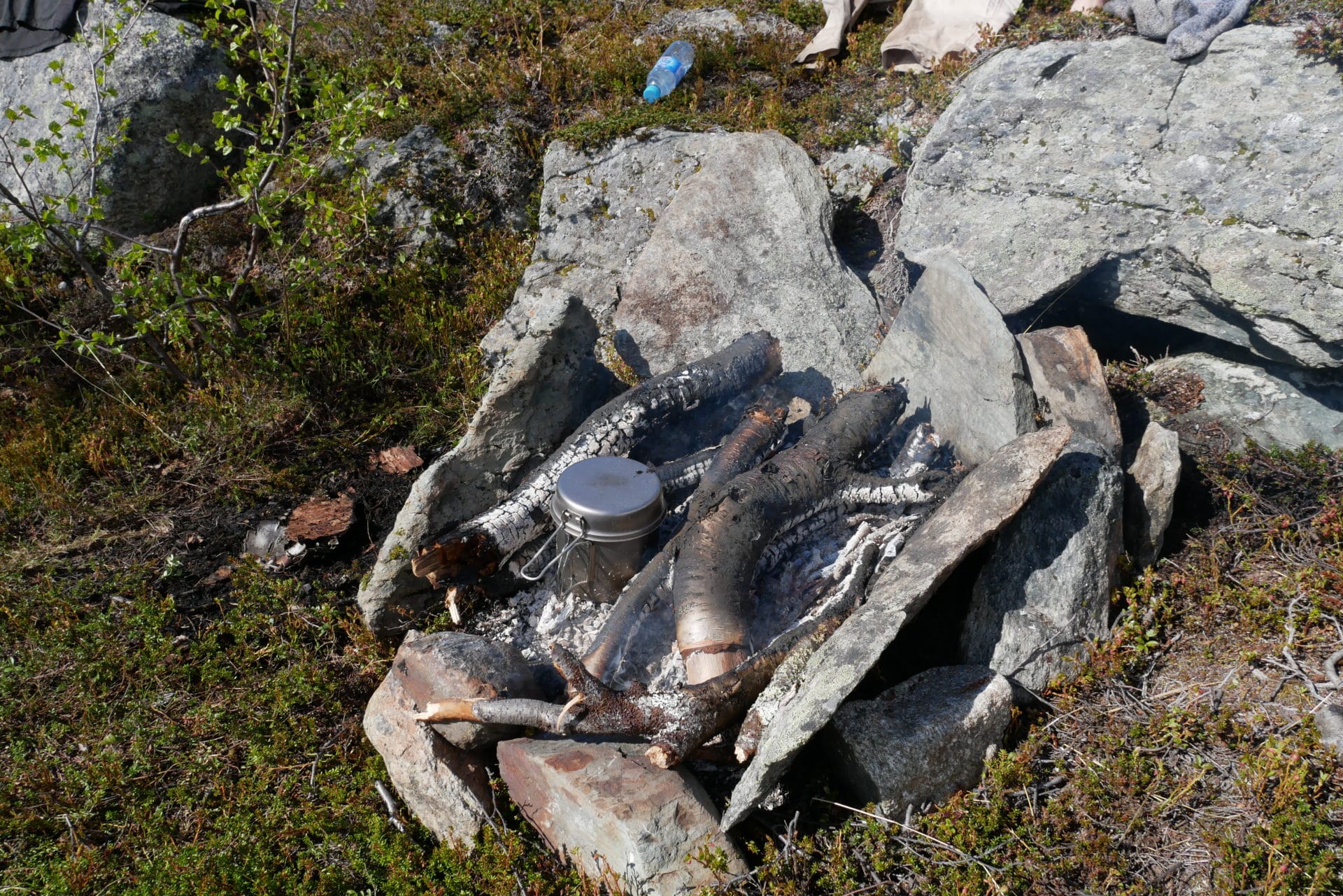
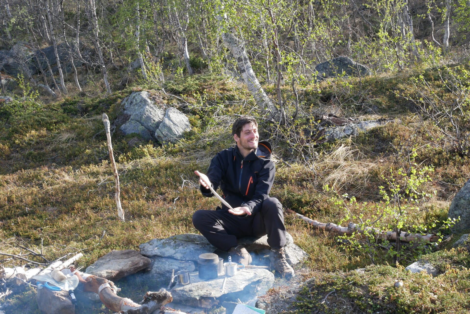
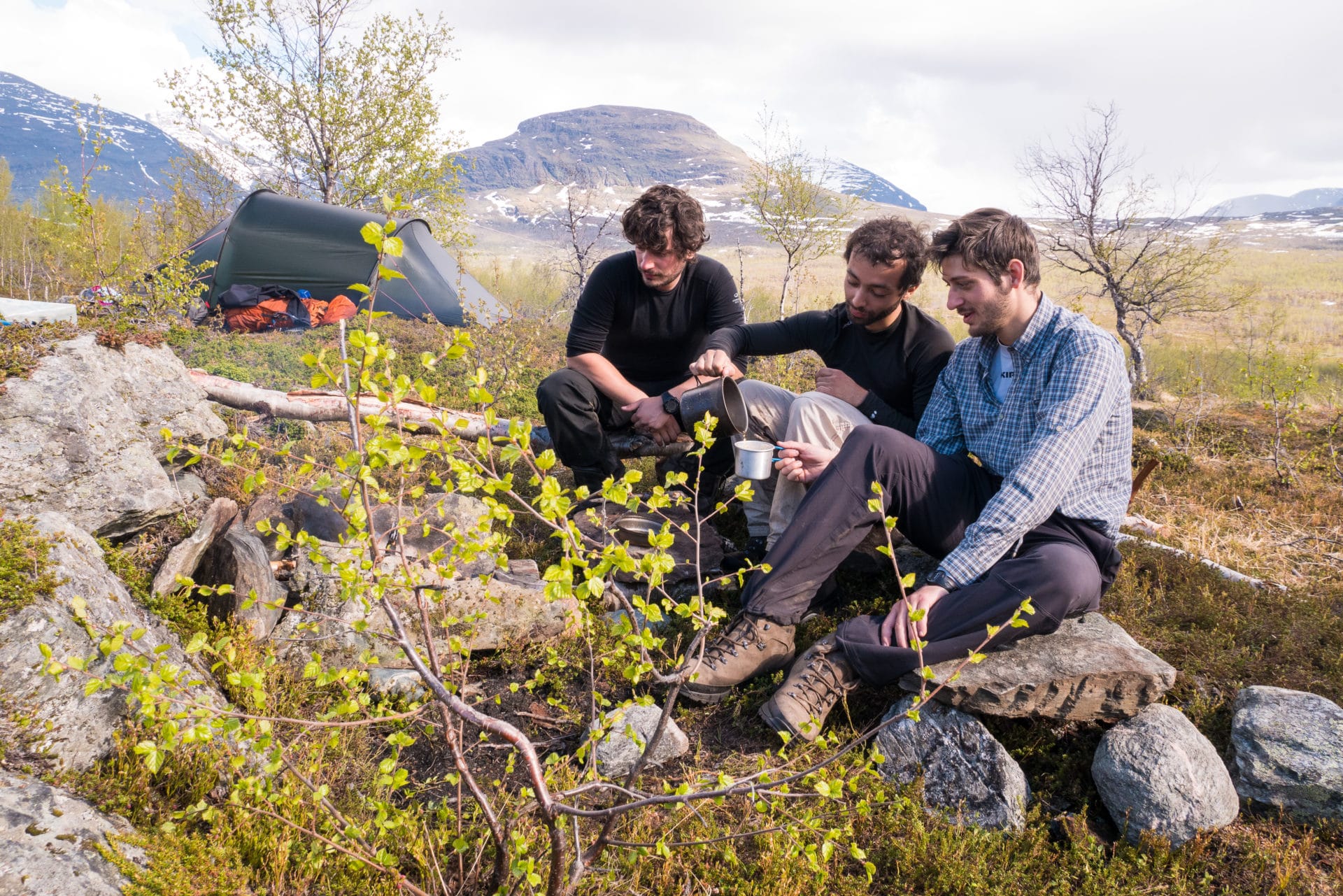
The light at the end of the evening is beautiful, we take full advantage of the moment. We have not crossed anyone since we forked out of the Kungsleden, we feel at the end of the world, isolated, we are well … We really feel fullness in this kind of moment, we came for it , we are overwhelmed.
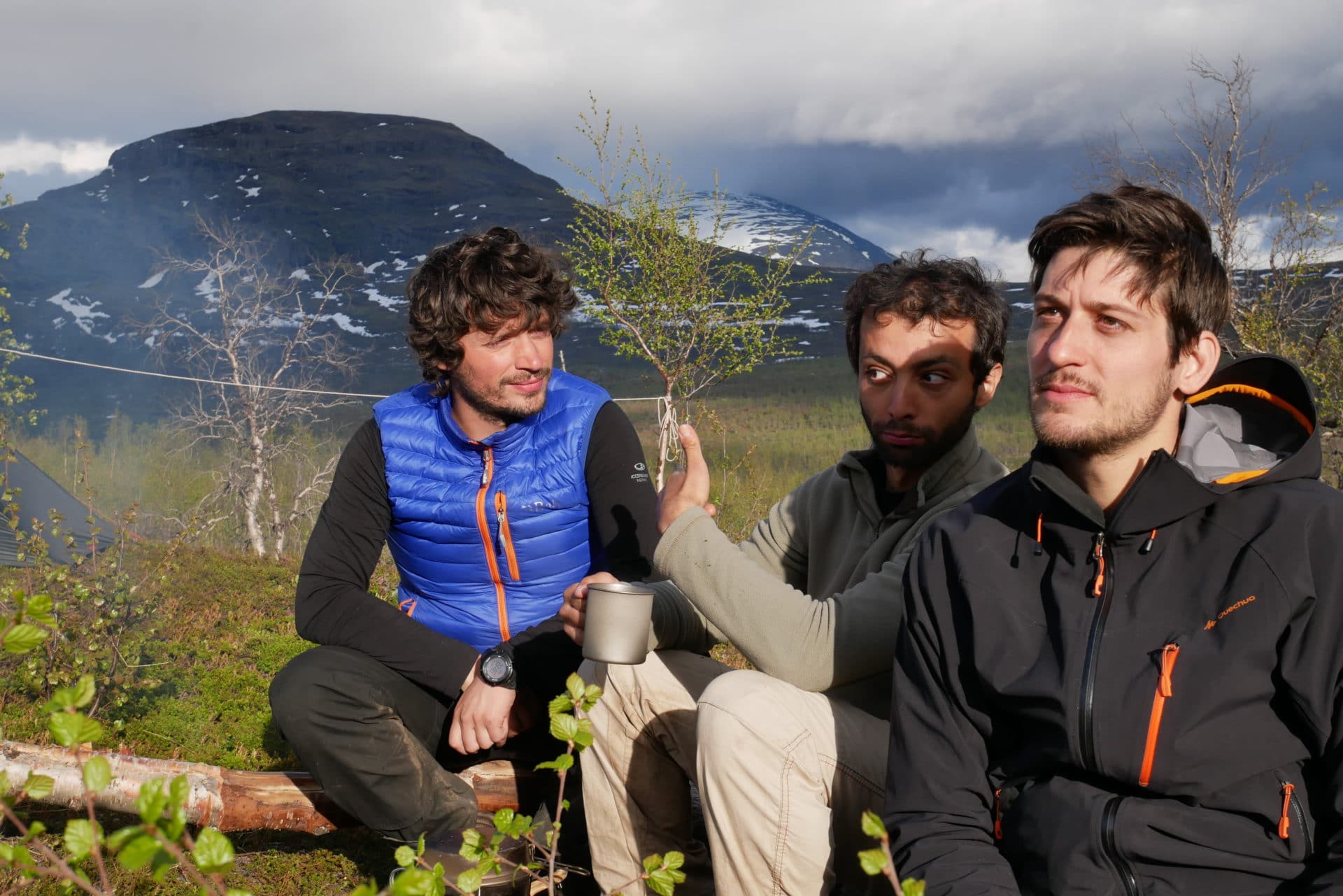
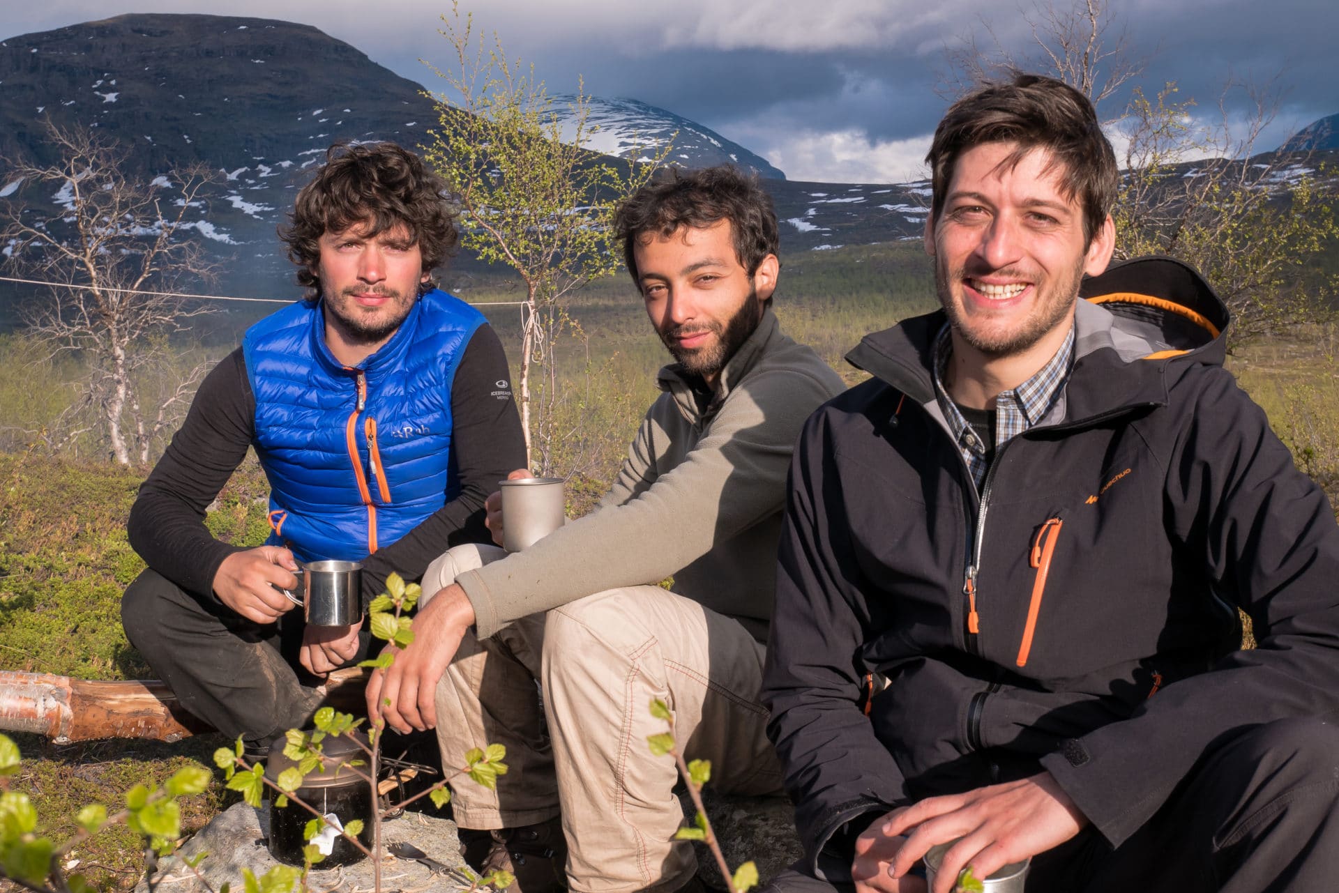
We will not lie down too late that night because the cold catches us even if the sun does not set.
The next day we will enjoy the day to eat well and rest, Quentin will also take a long stroll on the heights. Matthew and I will stay near the fire all day long, pruning wood, chatting …
We will see absolutely nobody that day, it’s great … We are lucky to be here in Lapland and to be able to fully experience our adventure.
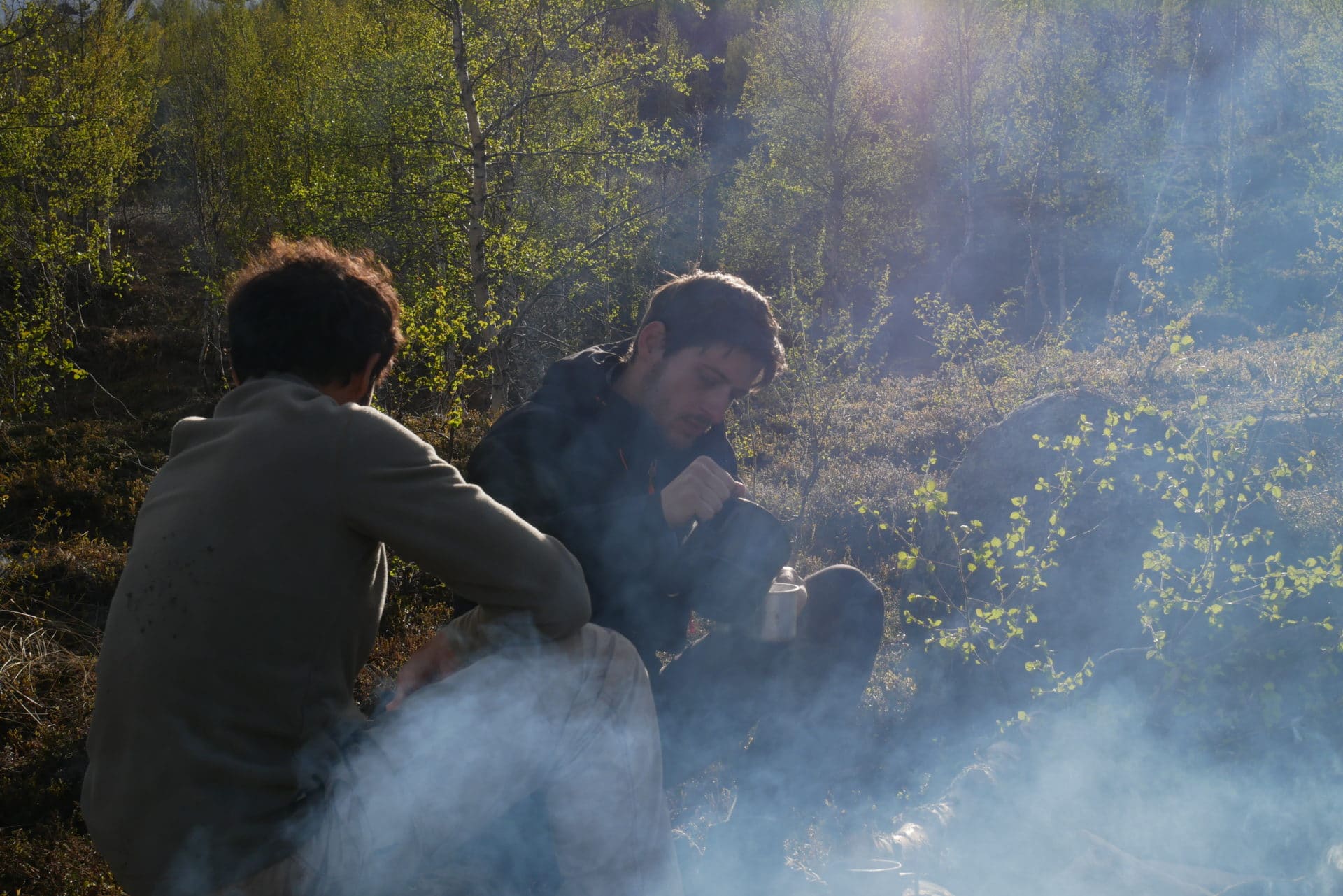
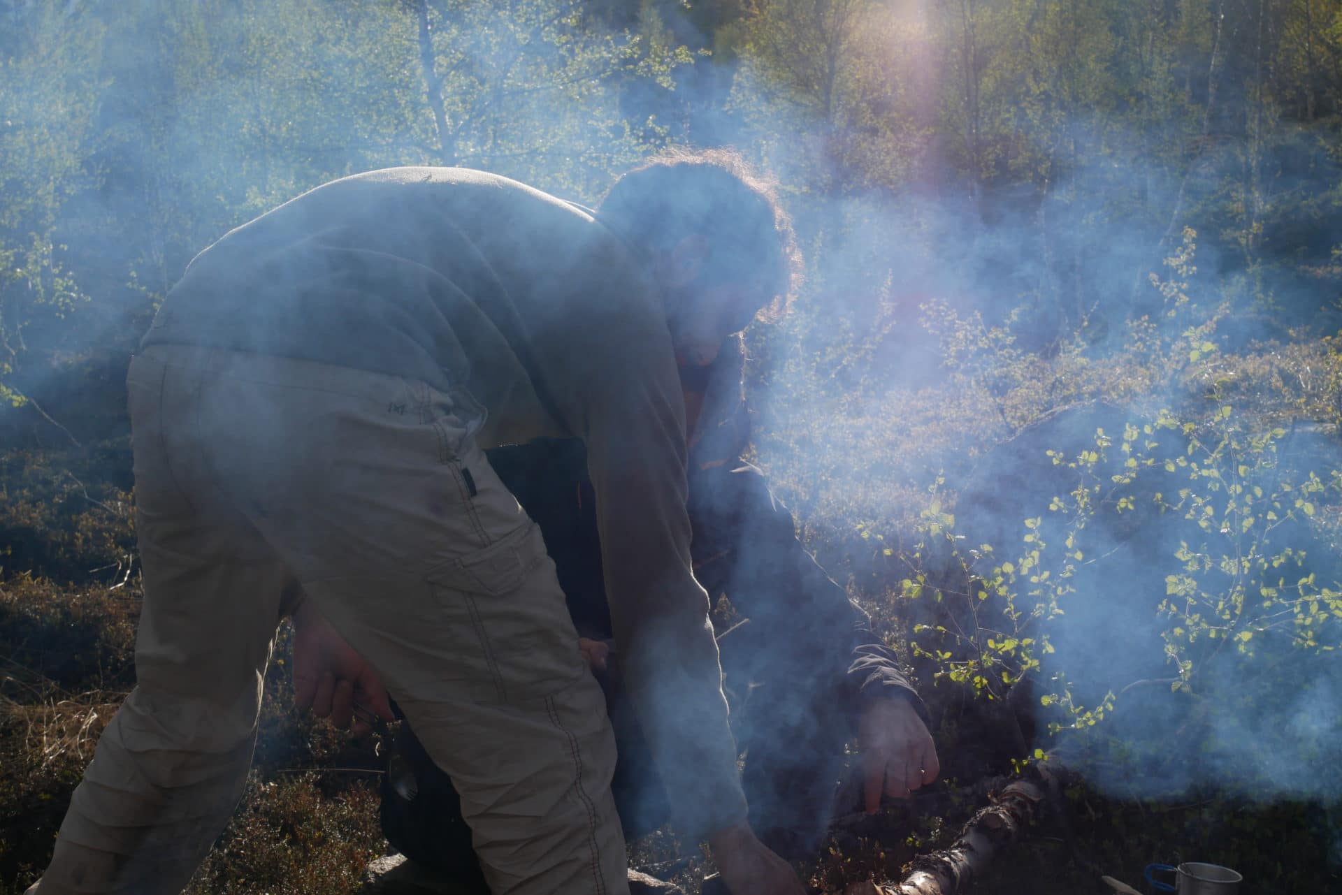
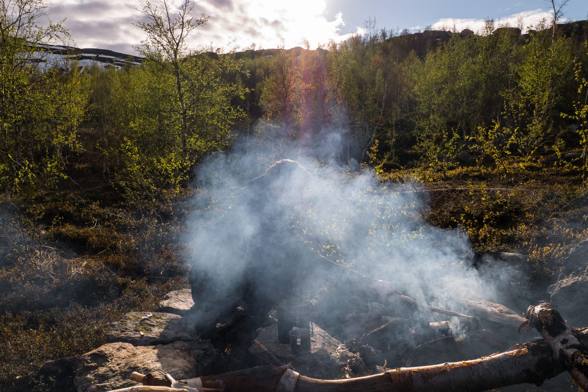
Day 8 : further & lonelier
Cool night as evidenced by the hat of frost on the surrounding mountains.
We leave the camp and make sure to leave no trace of our passage except two small stone benches. We take the road towards Abiskojaure and certainly towards more human contact …
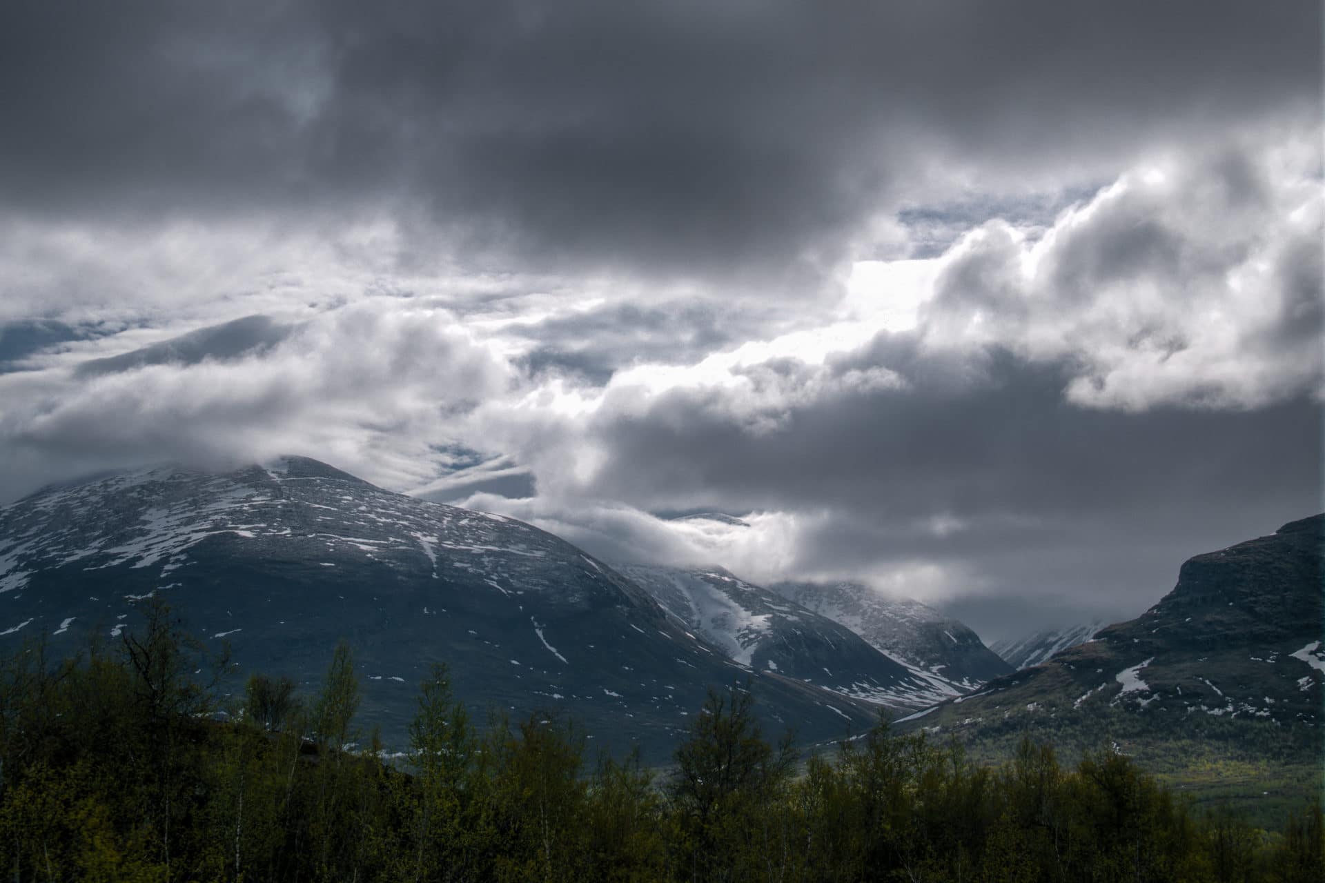
The path is good and well marked towards the hut, with the loss of altitude, we find forests composed of large trees that contrast with the puny birches of the previous days.
We will soon arrive at Absikojaure which is a big hut installation. The guards will tell us that they can accommodate up to 60 people per night. We meet them by the way taking breakfast and they will invite us to settle with them so that one exchanges on the conditions of ground. I am surprised because I do not have the impression that the cabins discuss a lot between them to get informations of the conditions on the ground, so the guards are very interested in the return that can be made to them.
One of the managers tells us about a valley a little further north in which few people go. We had initially planned to follow the Kungsleden until Abisko but the prospect of being even more isolated is attractive. So we’re changing our plans to get to the Karsåvagge valley.
The beginning of the path is behind the camping site of Abiskojaure. We first go along the lake and then a small river. We quickly take the altitude and the view emerges behind us revealing the lake, the mountains around and on the horizon. It’s beautiful.
The snow quickly reappears, hiding a bit of the road, which is easily followed by the regularly spaced cairns.
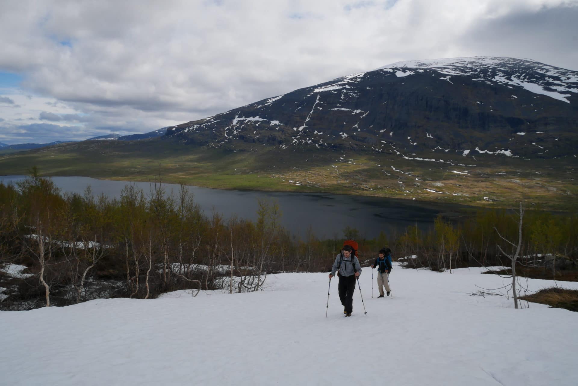
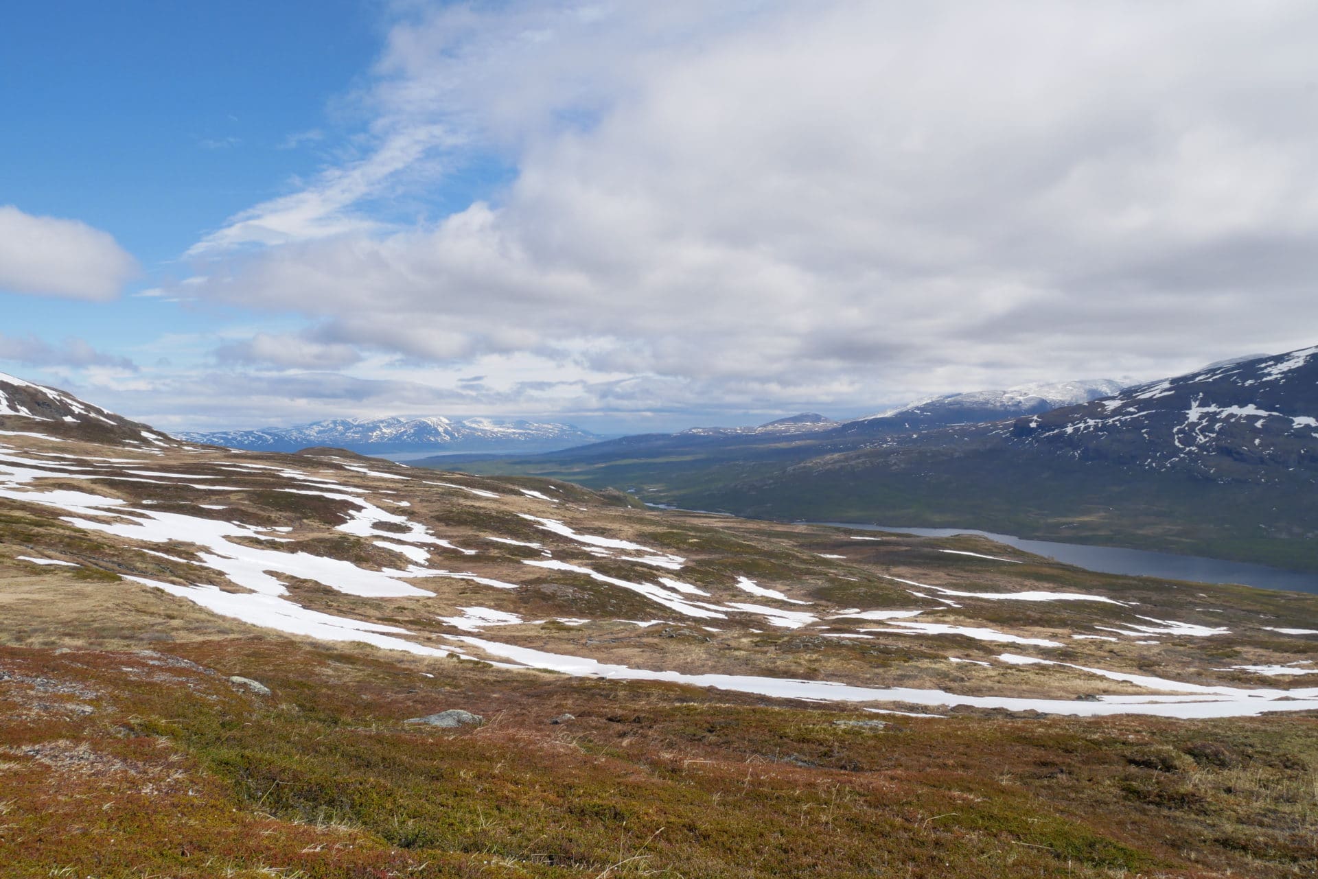
The path and the general atmosphere of the landscape are becoming better and better as the ascent progresses, there is an air of garden of Eden, intact nature, pure. On our right two herds of reindeers graze, on the left a small stream is running between the grasses. There is a great sunshine, we are alone, it is a very pleasant moment during which we were particularly happy to be there and to venture in a valley where few people have passed this year.
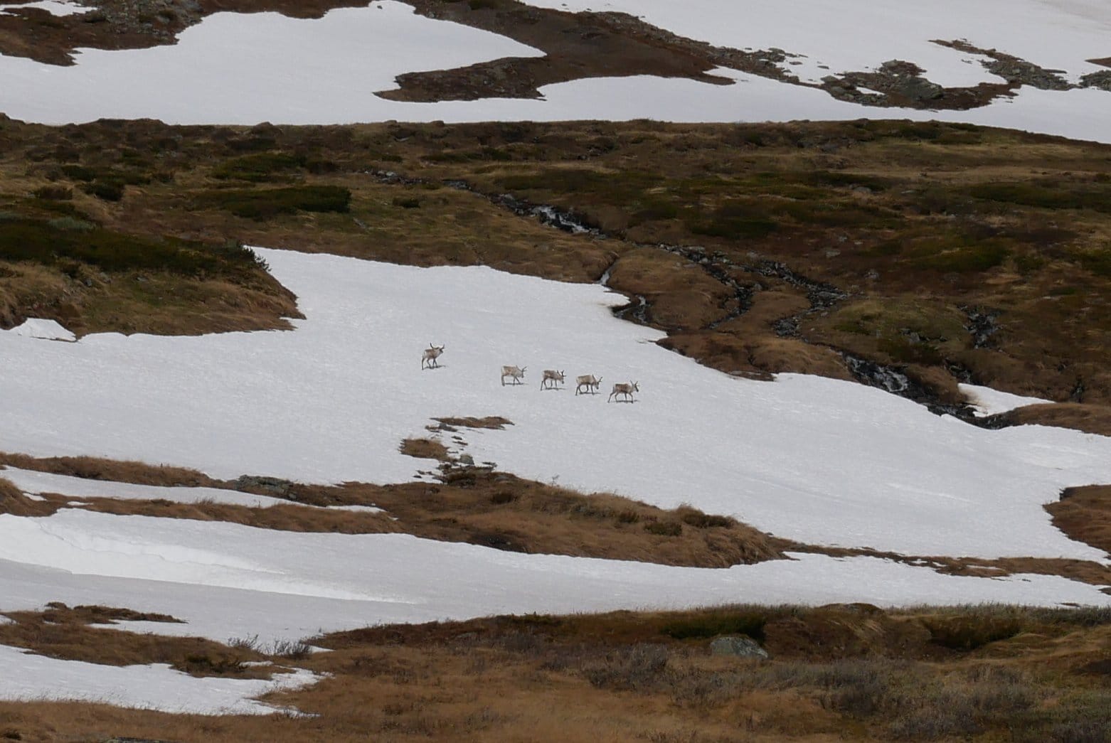
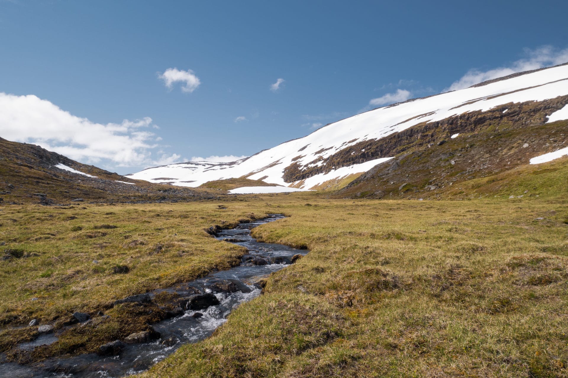
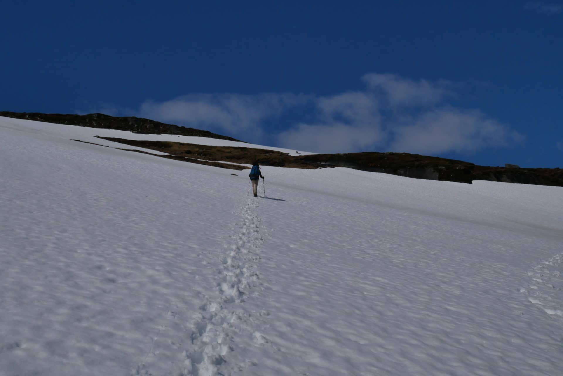
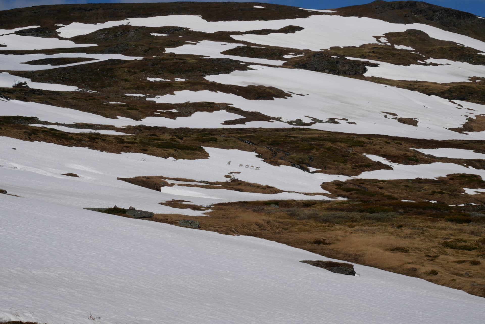
The path takes us higher and higher, we follow the traces left by the guardian of Abiskojaure yesterday, there are only his …
We arrive at the summit (which is quite flat and all in length) towards 1150m of altitude. The view around is superb: to the south west the valleys from where we come and far the Kebnekaise. To the north is Abisko and Lake Torneträsk.
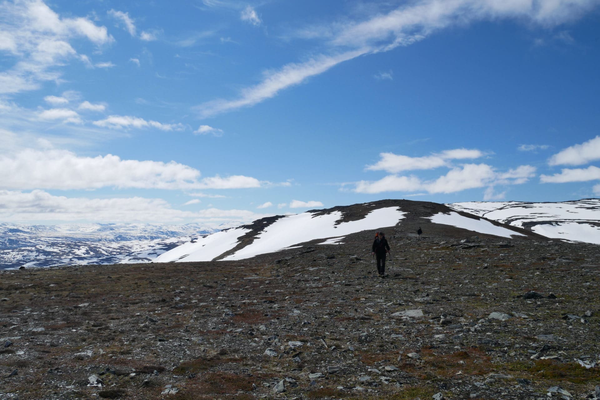
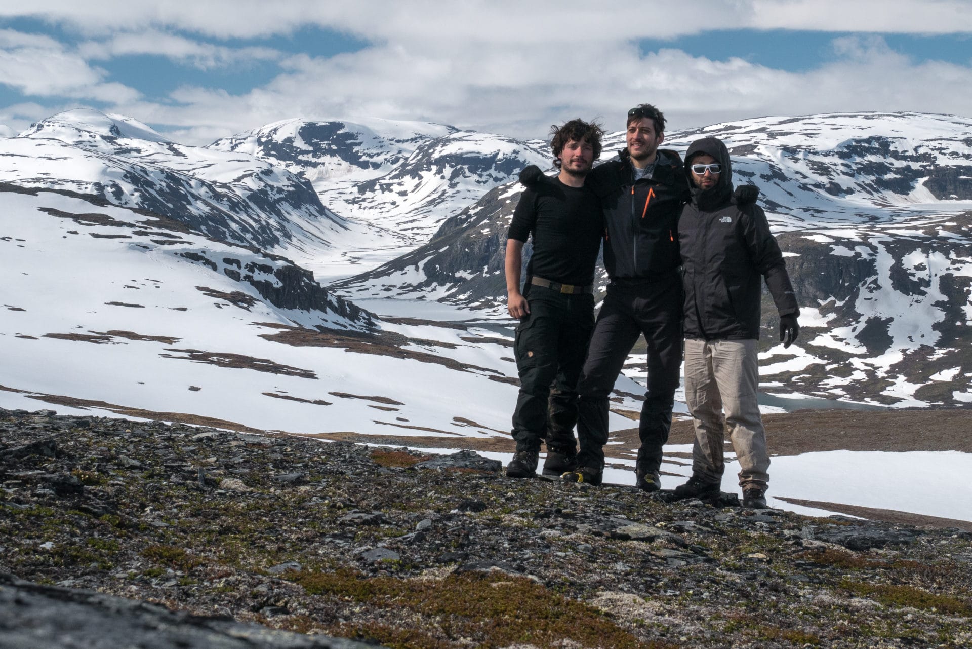
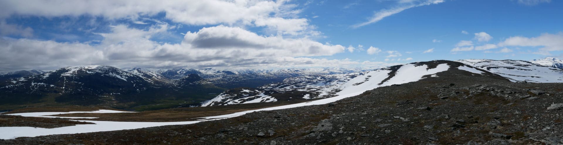
We start the descent towards Kårsavagge. There is no traces anymore, the terrain is pristine from now on. The valley is particularly covered with snow, we see from here the lakes that are still frozen.
There are some cairns to indicate the way. It is very beautiful. One has the impression, once again, to be alone in the world.
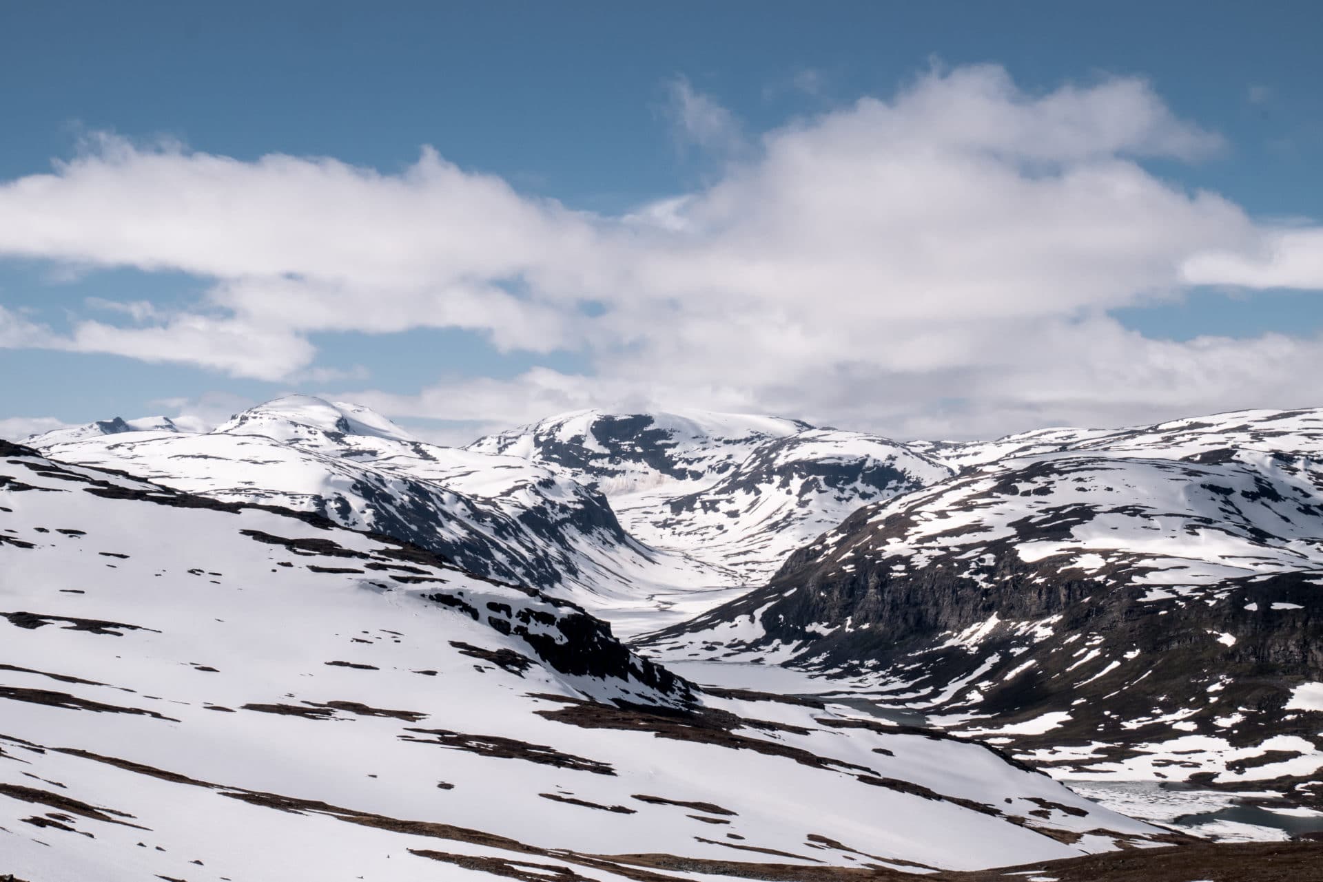
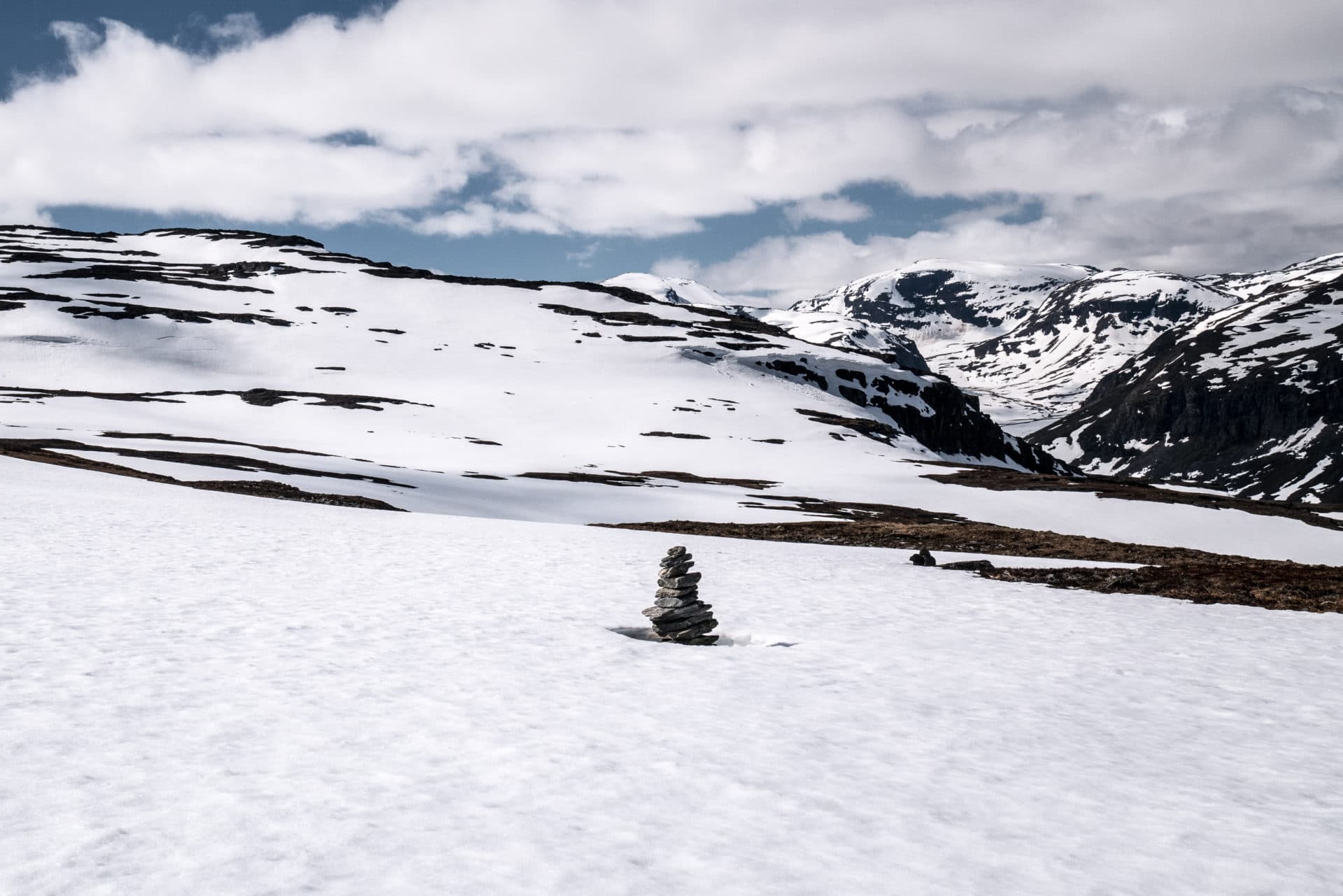
There is a path on the other side of the valley but you have to cross the river at the cabin of Kårsavagge. We will not take this option, instead we choose to remain from this side of the valley and progress off the trail. We turn then to the right at the level of the big river 500m after the summit. The descent is fast, we use the snow plates to go faster.
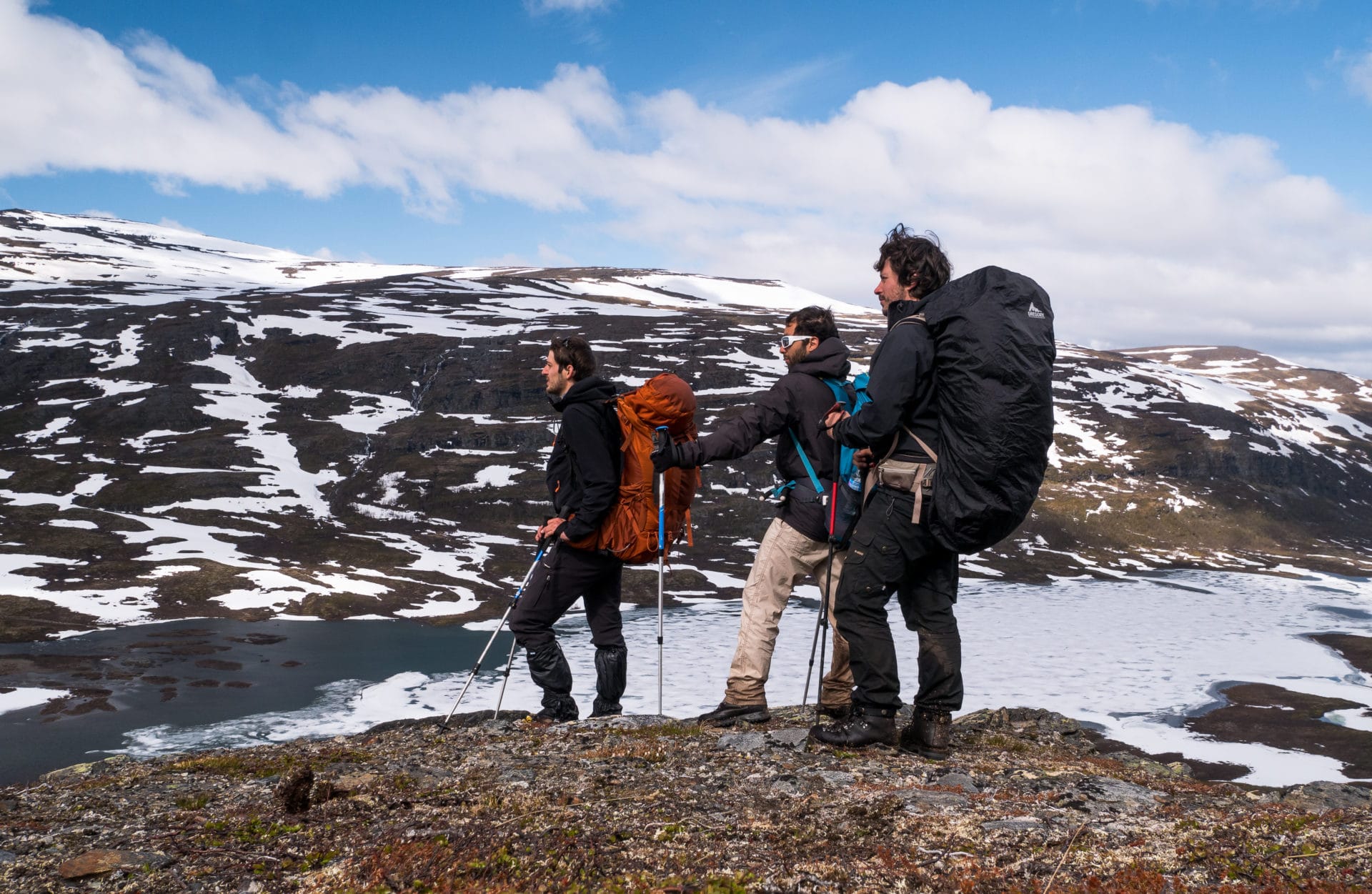
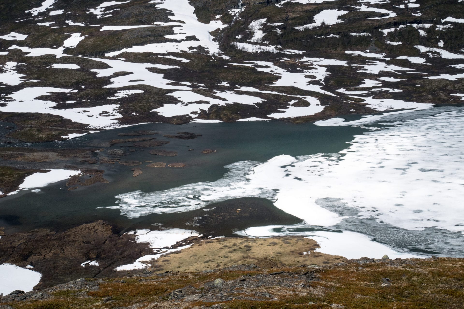
We will continue a little further time to find a beautiful camping location for the night. It will be done not far from the river to a place where his bed is tightened.
We are setting the camp for the last time because tomorrow we will be in Abisko. We are well installed even if there is a little wind. There is a small place to shelter to have a snack and to play cards.
Late evening classic with meal, moment of fullness and beautiful light when the sun passes behind the mountains. Kårsavagge is beautiful ! We are not far from the Kungsleden but we feel that here few people come.
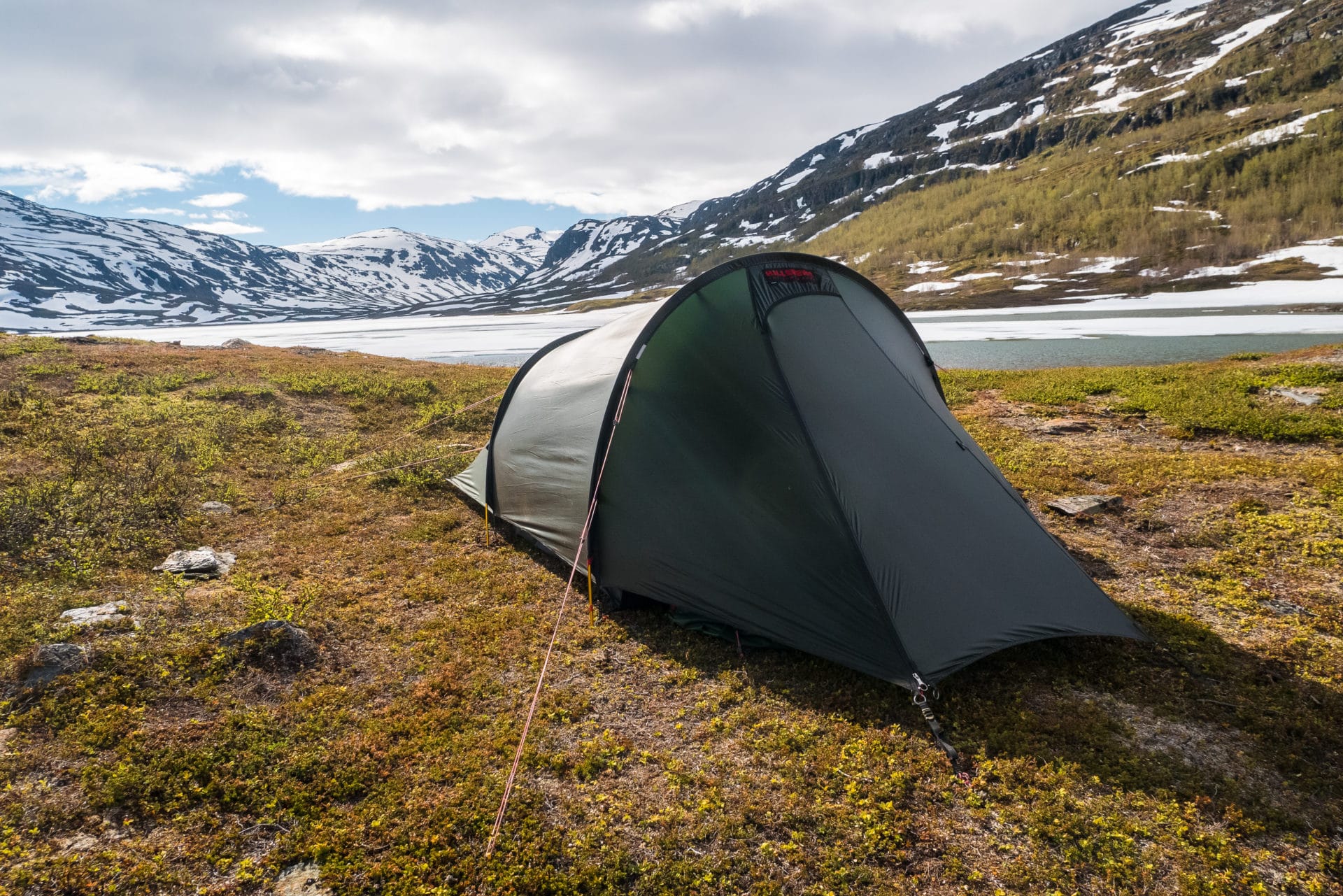
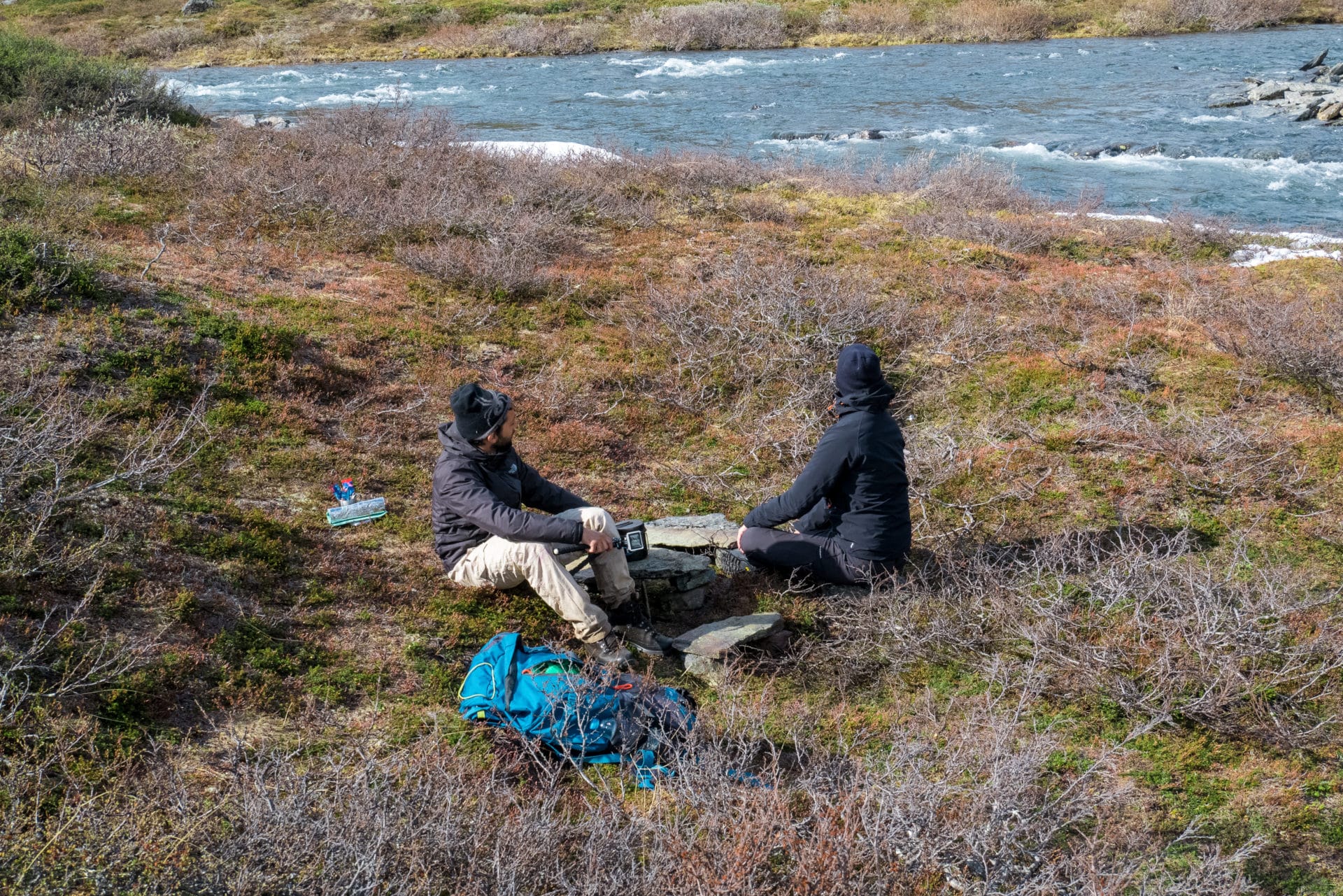
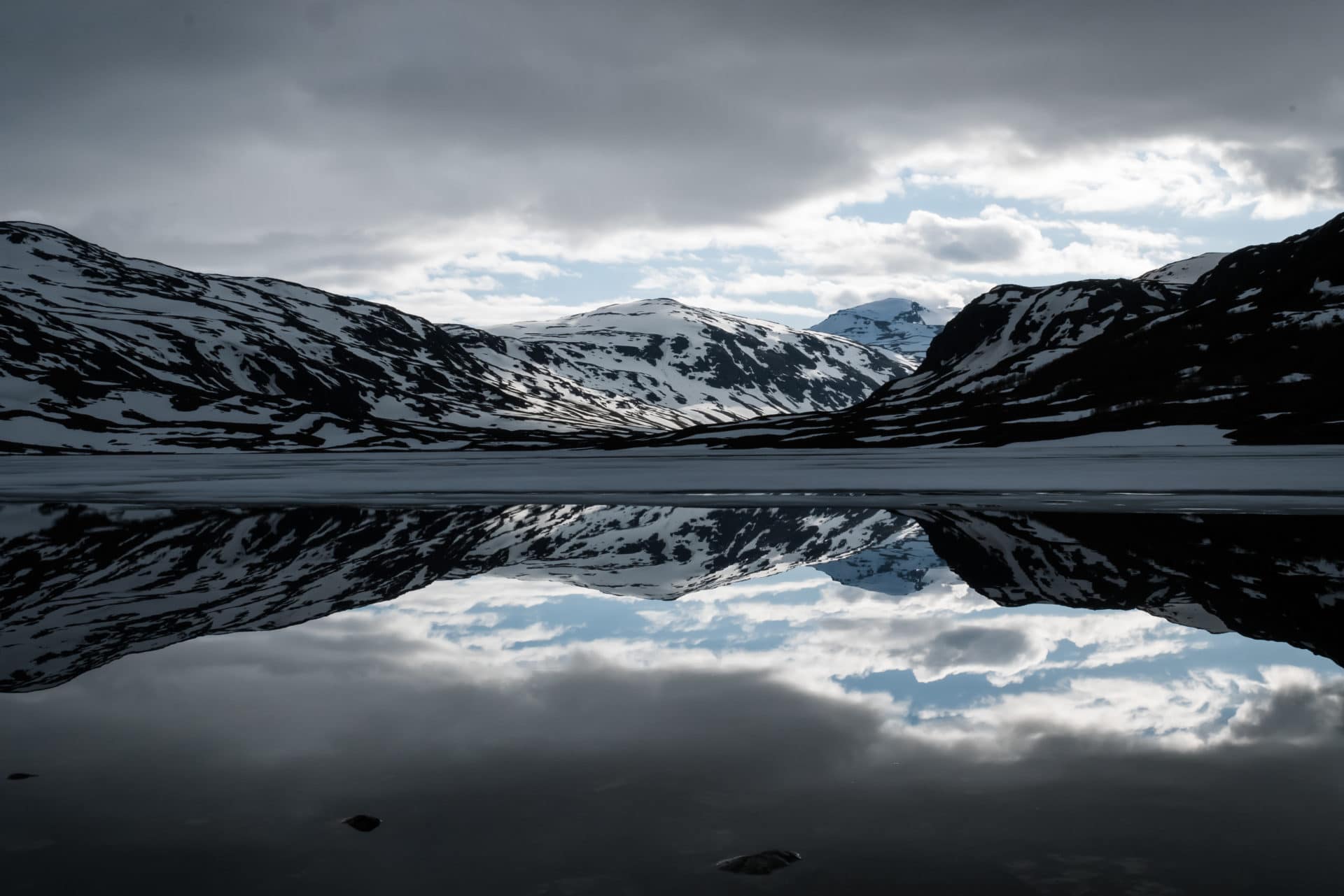
Day 9 and last days: Abisko...
Last breakfast, last packing … We take the path towards Abisko. None of us are in a hurry to find the city and its hustle and bustle …
We progress in the Kårsavagge valley off the trail towards the bridge which crosses the river. It is reached quickly but its appearance challenges us a little from far … It is by getting closer that one understands better: one of the slats that supports the bridge way is broken so that it hangs over the river. A sign on the other side indicates that the bridge is closed. The problem is that if you do not take the bridge you end up with the choice of turning back and crossing to look higher (in spite of the very strong current) or else make a long detour downstream … Given the state of the bridge it is estimated that one can try. We go one after the other and despite some cracking we pass without encumber …
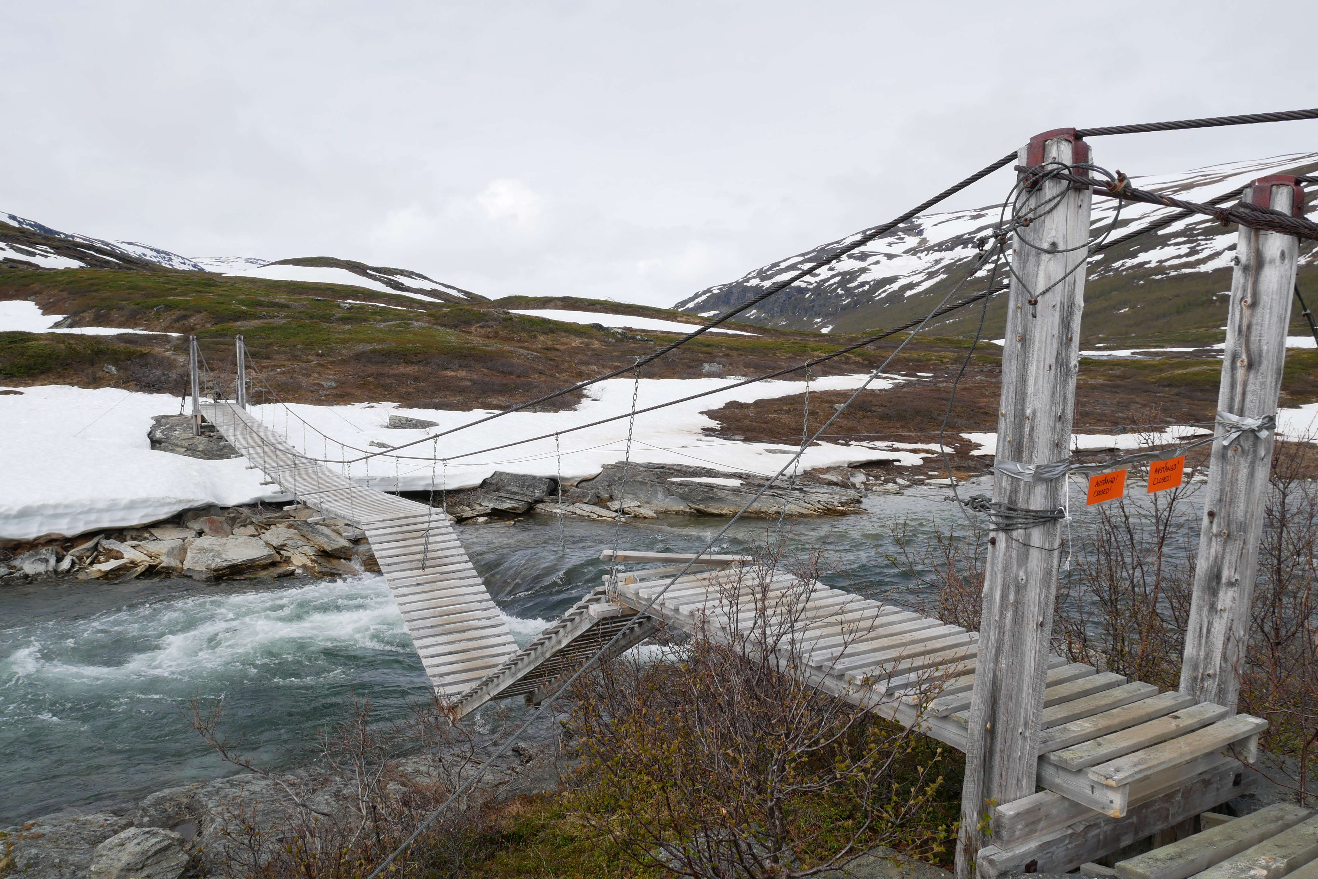
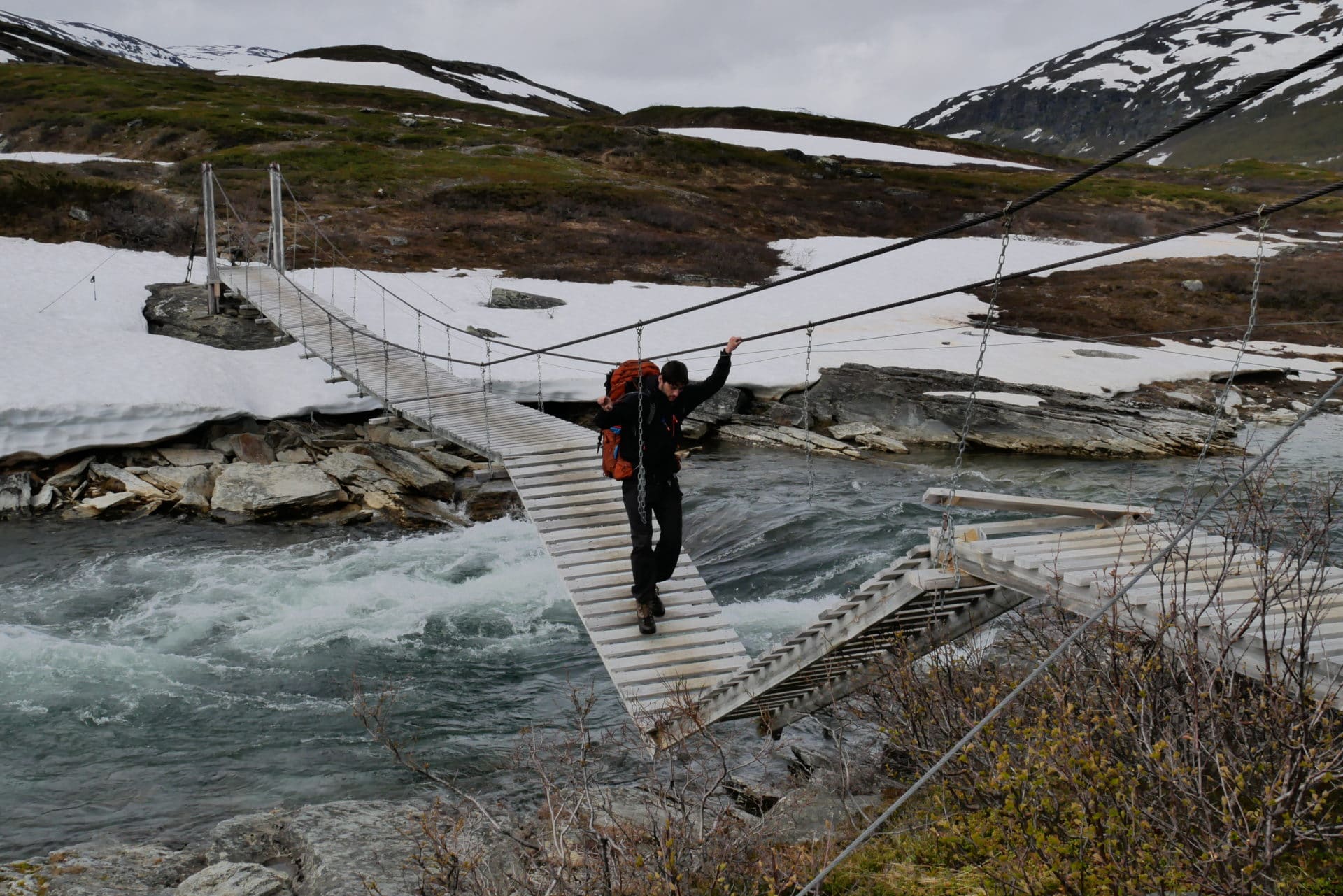
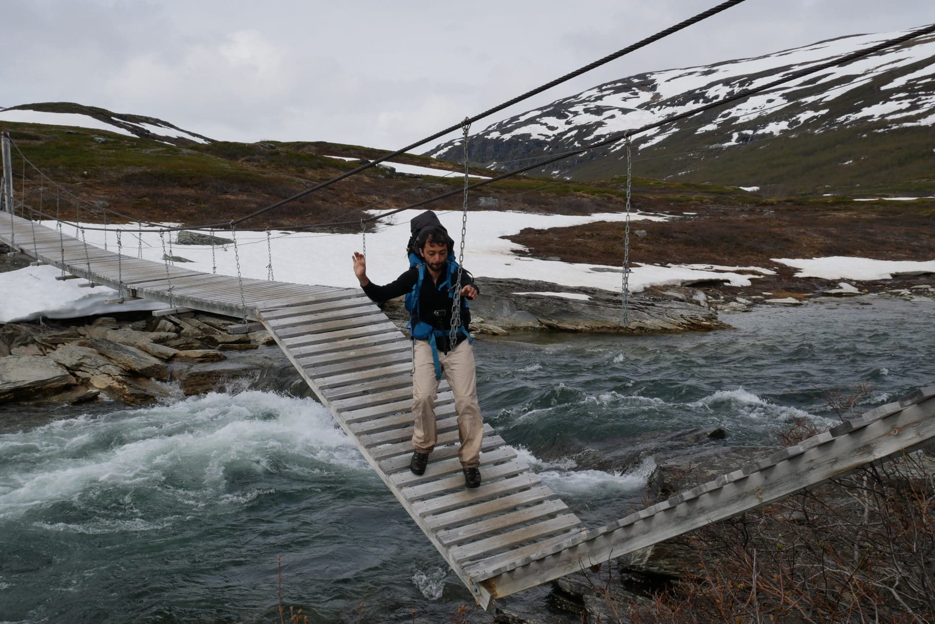
There is not much to say about the end of the path to Abisko. It offers a beautiful view of the Torneträsk and the surrounding peaks.
We finally join other paths traveled by tourists passing through Abisko. The civilization is beginning to be rediscovered. The end of the road leads to the road not far from the famous gate that marks the beginning or the end of the Kungsleden. We stop there for a photo.
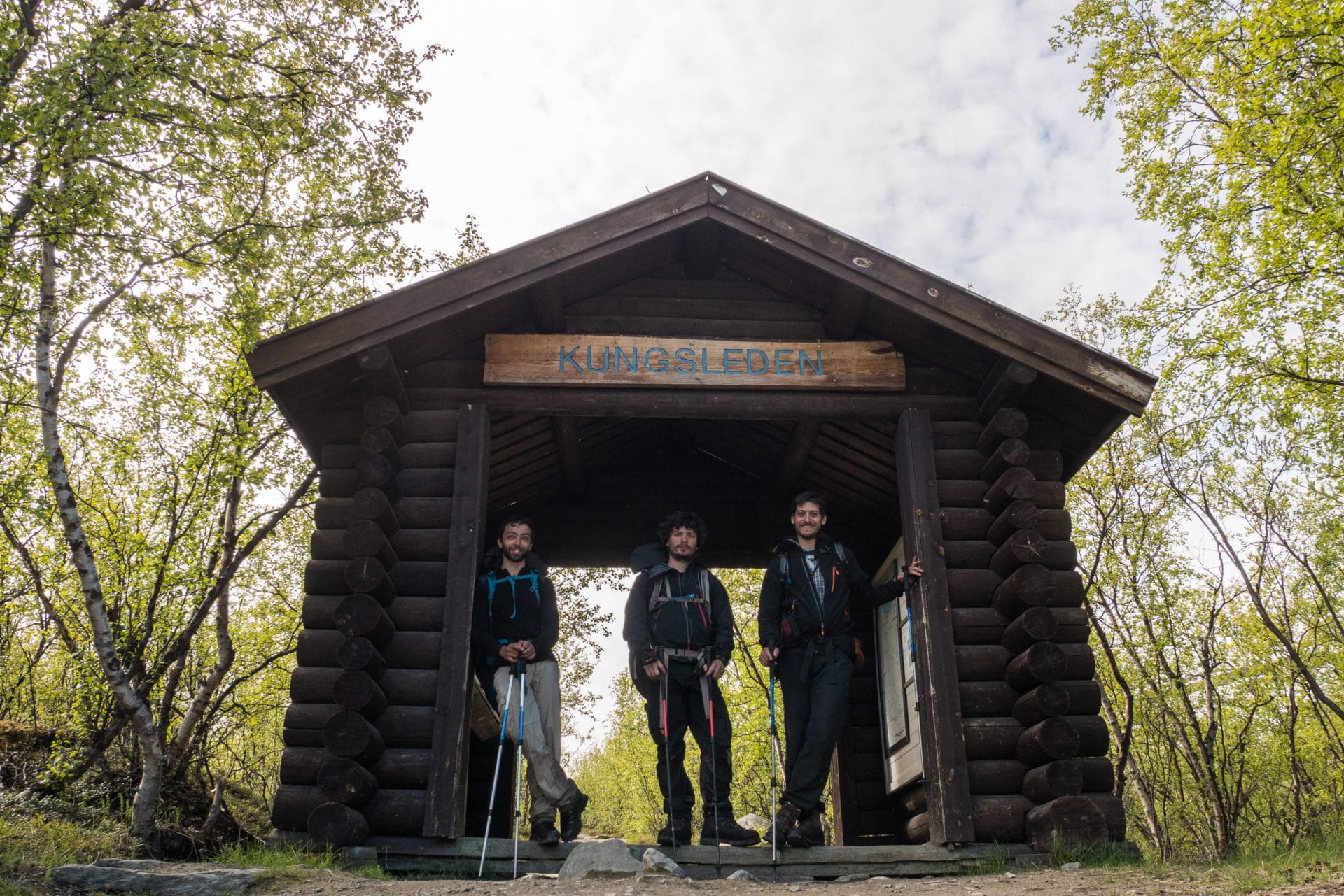
Here we are at Abisko! The shoes of Mattieu have held!
It is 1pm and the bus to Kiruna passes at 6pm, so we moved to the Turist Station on the tables outside enjoying the sun. It is the Mid-Summer festival that marks the summer solstice. So there is a whole dance and music animation and even cake! This allows us to pass the time …
We board at 6pm in the direction of Kiruna where we spend the night and the next day (we will sleep at the Scandic Ferrum hotel which is not bad). We will also take advantage of our day to visit the mine which is worth it. In the evening we spend the evening at the Bishop Arm, the Kiruna pub …
Return to France the day after. Difficult return to reality between the temperature that had to take 20 ° C, pollution and the crowd … Lapland is already far …
Conclusions
Another trek that will be remembered. These ten days in Lapland were absolutely brilliant thanks to the landscapes, the atmosphere but above all thanks to the feeling of freedom and wild nature that one feels there. I had some apprehensions before the start on the nature of the terrain and the difficulties that we were going to encounter, apprehension confirmed on our arrival by the feedbacks that we had but now in retrospect, it was not so hard on the contrary. The moderate physical difficulty has allowed us to benefit even more. I am also happy because it was the first time I left with 10 days of autonomy in the bag and I even had some food left at the return. We can therefore think about treks of this duration or even a little longer with a bag of 65L well filled.
This trek was my first Swedish experience and in Lapland. I Would definitely come back here again! As soon as I returned I started to look at the Sarek National Park for a next walk … Who knows, we will see? …
I can only advise you to go and lose you a few days in these wild lands.
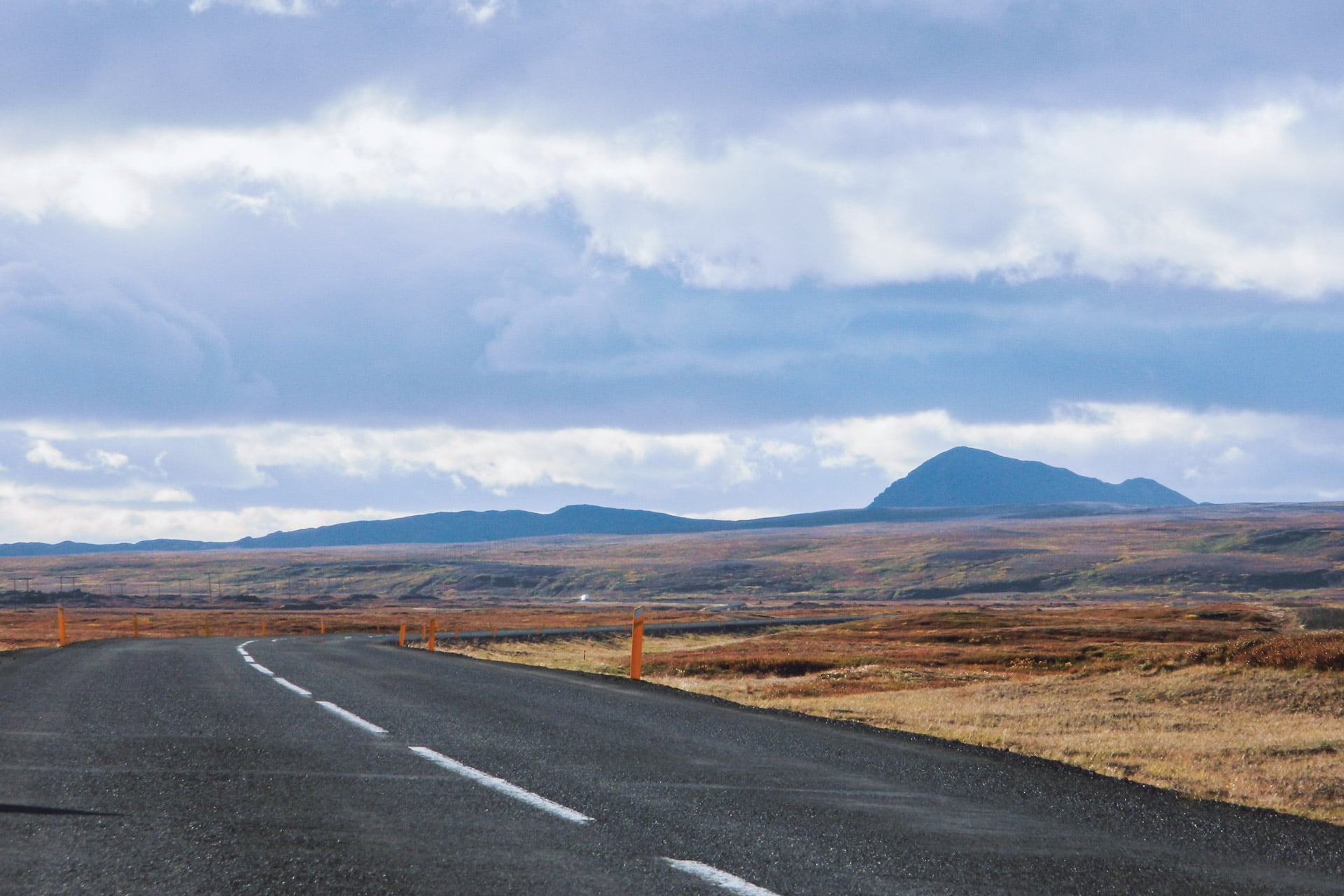
Iceland Road Trip
3500km
driven
65km/h
average speed
+50
wonderful waterfalls
1
volcanic eruption
3trolls
(petrified)
Iceland is very trendy currently and it’s easy to understand why. This country is amazing! Between the US and European tectonic plates, Iceland is experiencing a strong volcanic activity in an atmosphere of Far North, all dotted with majestic cascades, lakes, immense empty spaces … It is perfect! This trip was my first road trip solo, Iceland lends itself quite to this kind of travel. Follow me during this 14 days in the land of the Volcanoes, the elfs and the hidden people.
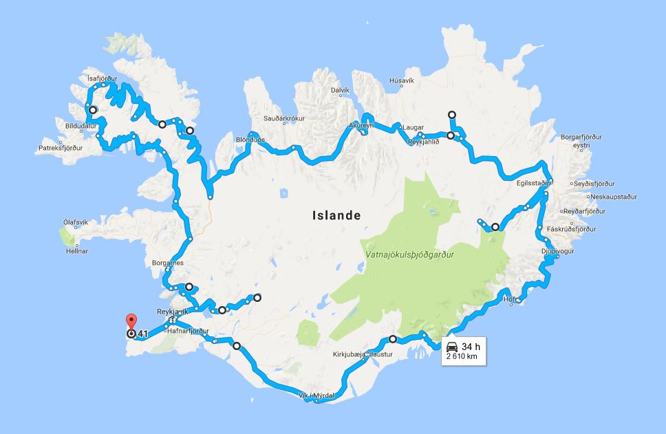
About Iceland
Although lost in the middle of the North Atlantic by 66 ° latitude, Iceland is part of Europe. The island has an area equivalent to one fifth of metropolitan France but has only 300,000 inhabitants. The population concentrates on the coastal strip and especially in the Reykjavik metropolitan area which welcomes 200,000 people as much as to say that the rest of the country is practically empty! Iceland is a paradise for hikers looking for of wild solitude or to undertake a road trip during which you will meet only one or two cars per hour …
Iceland is also interesting from a historical point of view. Although its settlement by Irish monks will go back to the 8th century AD, the island grew during the Viking period in the 9th and 10th centuries. It has been used for the conquest of Greenland by Erik the Red (in 984) and then surely of Vinland by Leif Erikson. There are many relics of this period in the country, be it buildings, but also in a certain way of thinking and in certain beliefs.
Concerning beliefs it is interesting to note that 40% of the population believes in elves and in a race of invisible humans but well present, hidden people. This belief is so strong that it is taken into account when building roads for example so as not to destroy an elven place.
Iceland is also known for its volcanic activity. We all remember the complete cessation of air traffic in 2010 after the eruption of the Eyjafjöll. Iceland is straddling the Atlantic rift, that is, part of the country is in America and the other in Europe to simplify. There are about 130 active volcanoes, geysers, fumaroles and other telluric phenomena, volcanism is omnipresent. Humans use this resource to create electricity (geothermal energy) or to heat themselves. Even the water from the shower had a small sulfur smell.
From a climatic point of view, Iceland has a relatively temperate climate although it is located just below the Arctic Circle. This is due to the fact that the island is bathed by the Gulf Stream, so temperatures are still relatively mild even in the middle of winter when compared with other countries at the same latitude; For example the average temperature of the coldest month (January) is -0.5 ° C. However the climate of Iceland is not to be taken lightly, this one is very changing and can be violent with a lot of wind and rain. One can easily see the four seasons in a few hours, an Icelandic proverb summarizes very well this changing nature of the weather: “If weather does not please you, wait just five minutes”
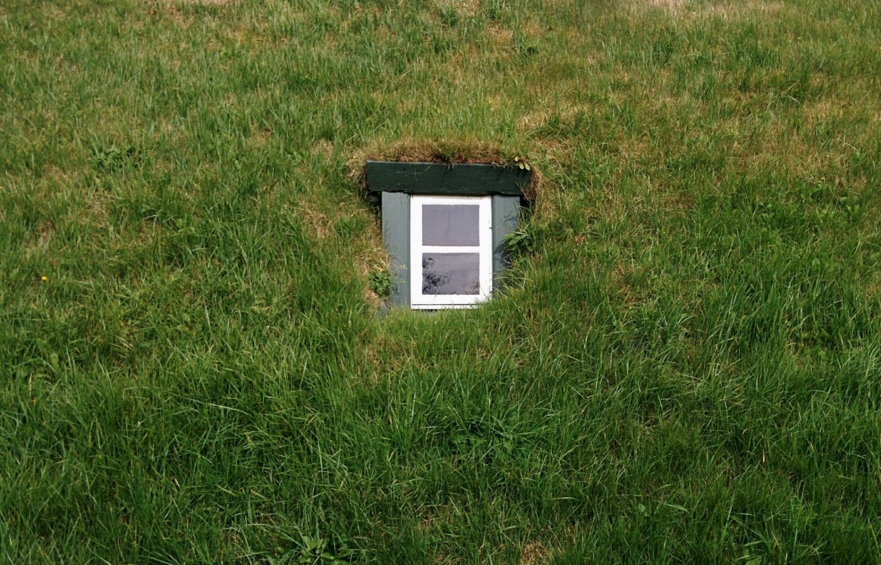
Day 1 : from Paris to Reykjavik
It is early September and it is the departure for Iceland for a journey that was in my head for a long time. Take off at 12:45 from Charles de Gaulle airport (France) and a few hours later here I am! I’ll be all alone for this trip, my first trip 100% solo … We’ll see how it is…
Once at the airport I get my little car that will be my companion for these two weeks, it will be a red Kia Rio. I would have preferred a 4×4 to explore the famous F-Road but the price of the rental on its own was a bit high.
In Iceland most of the inner roads are “F-Roads”. It is road are not tarred and can go through lookouts … The use of an appropriate vehicle is legally required, so you have to have a 4×4 to go through them. Do not engage lightly on these roads especially if you have to cross a river, on this point the F35 is very convenient because it stays dry all along.
First stop: to reach Reykjavik to finish the day.
The road between the airport and the capital is nice : the landscapes are volcanic and empty. It’s nice even under the clouds.
I arrive in one hour in the city center. Although it is the capital, there are only 200,000 inhabitants in Reykjavik. So the city is not very big. I find the hostel where I spend the night (Kex Youth Hostel). I then go on a tour in town and a complement of groceries.
The city is nice but I do not have much time to walk around, I will do this on the last day.
I will finish the evening by eating in a nice restaurant offering soups served in a loaf of hollow bread and going to bed early to be fit for the next day.
Day 2 : Golden Circle
Wake up at 6:30 am because today is the first real day here and it is busy. The idea is to go through the Golden Circle, the area to the north east of Reykjavik and which concentrates many places to visit. It is also one of the densest areas in terms of tourism even if it remains content.
For the moment I leave the city and I am following the road 36 towards the lake of Þingvallavatn.
The “Þ” is pronounced much like the “th” in English. We find for example this letter in the name of the famous Norse god Thor: Þórr
The landscape is beautiful especially under the morning light. The vegetation is reminiscent of the one found in the Nordic countries (like in Sweden), that is to say a shade of dark green and brown. After some time to roll I stop on the road to see a break typical of the local tectonics. The fracture is perfectly visible and the zone feels the suffer testifying to a close volcanic activity.
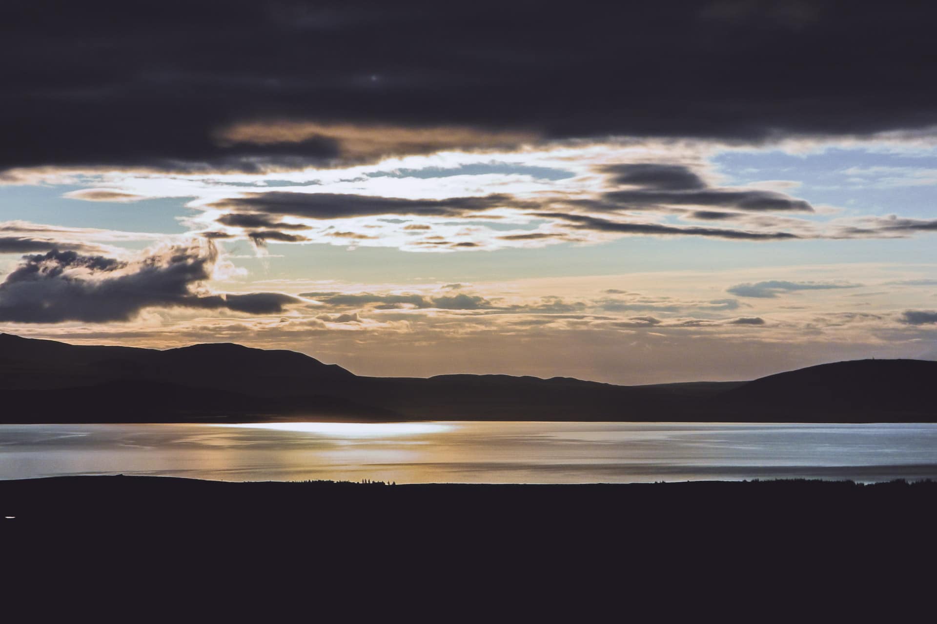
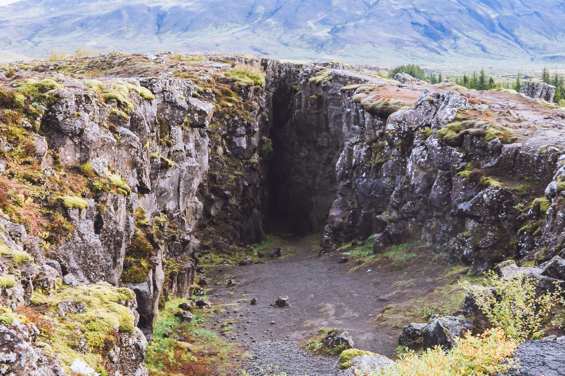
I then continue my route to the famous Geysir, the geyser to whom we owe the name of the phenomenon. We feel when arriving on the spot that the place is tourist but there are not too many people in this morning time. The area is experiencing intense geothermal activity: it smokes and it muddles everywhere.
The highlight of the show was Strokkur, the last active geyser, in fact Geysir stopped its impressive “eruption” a few years ago.
Having never seen any geysers before, I must admit that the show is impressive, especially the noise it makes when ejecting the water column.
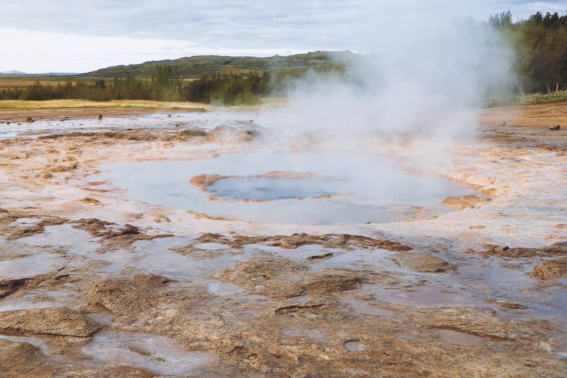
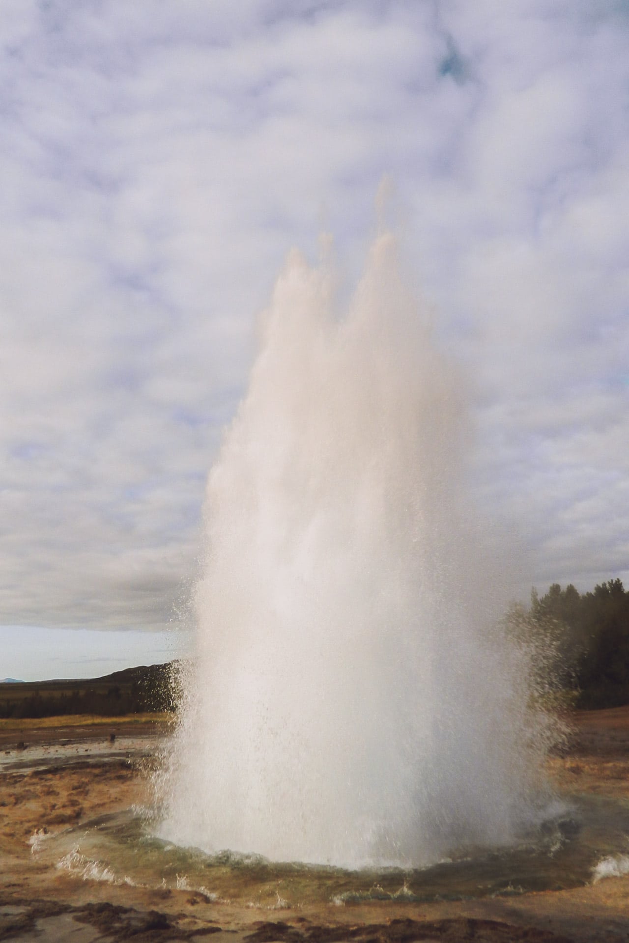
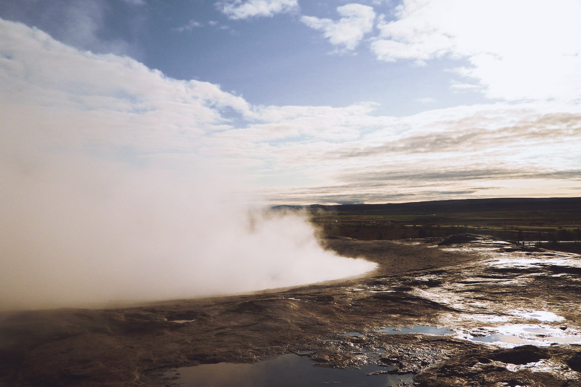
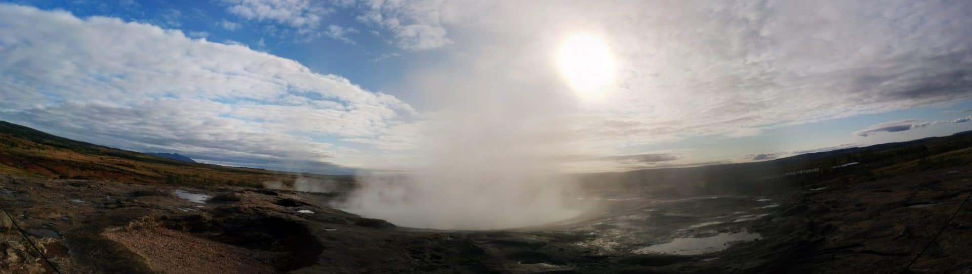
After a long time to admire Strokkur, I take the road to the beautiful waterfall of Gullfoss. This waterfall is stunning especially by the feeling of power it releases. It is not necessarily very high but the flow of water that every second discharges is amazing. I make myself a good coffee right by the water to admire the show.
A little vocabulary: the suffix “foss” means the waterfall.
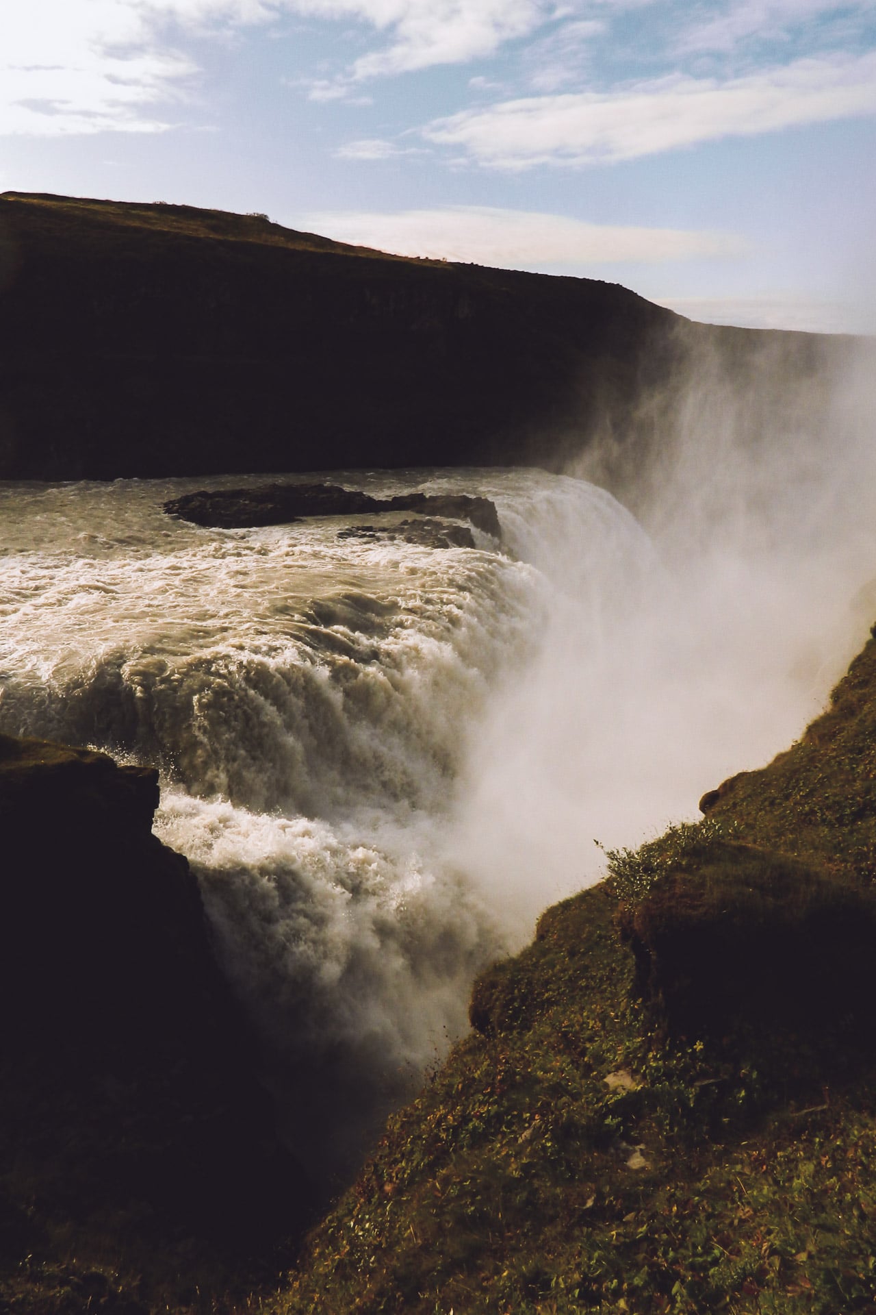
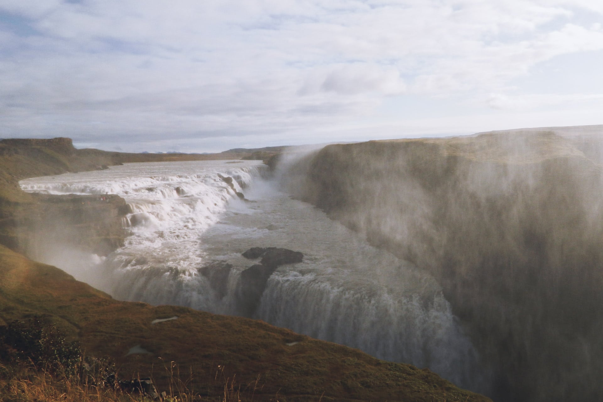
Once the coffee is finished, I turn to the Þingvellir. The site is located along Route 36. It is a very important place of Icelandic history because it is here that it is held for centuries of Þing ie the assembly. It is also a great place to observe the fracture of the rift and to dive in the crystal clear waters filtered by the rocks.
So I take the time to stroll until the tourists agitate me and push me to continue the journey.
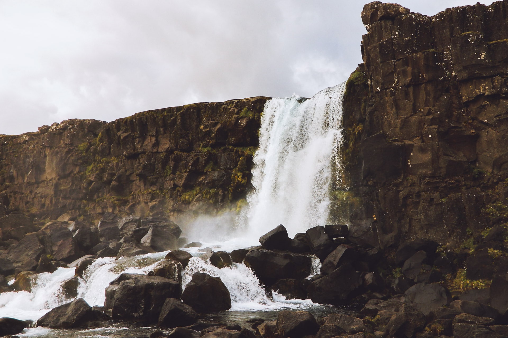
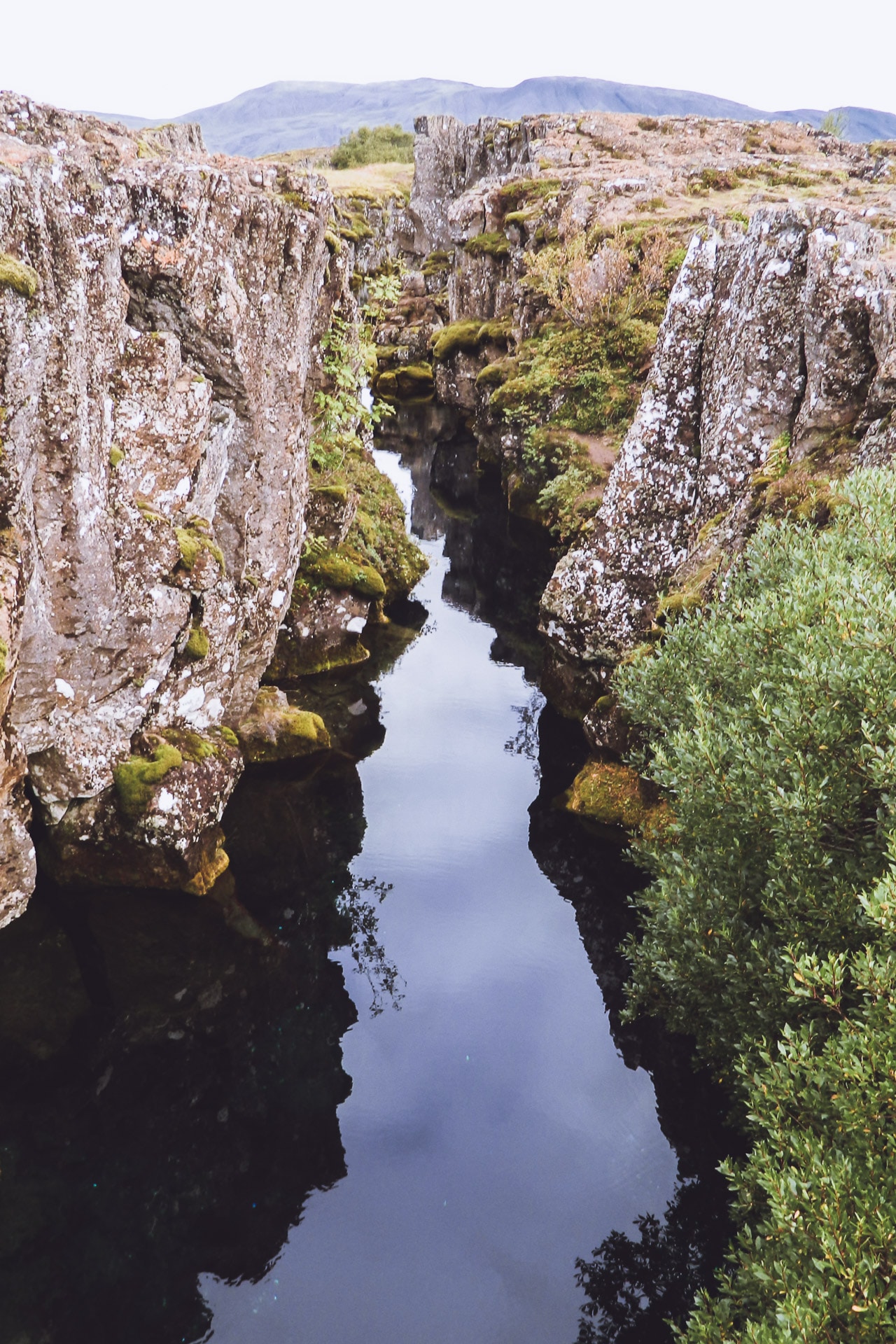
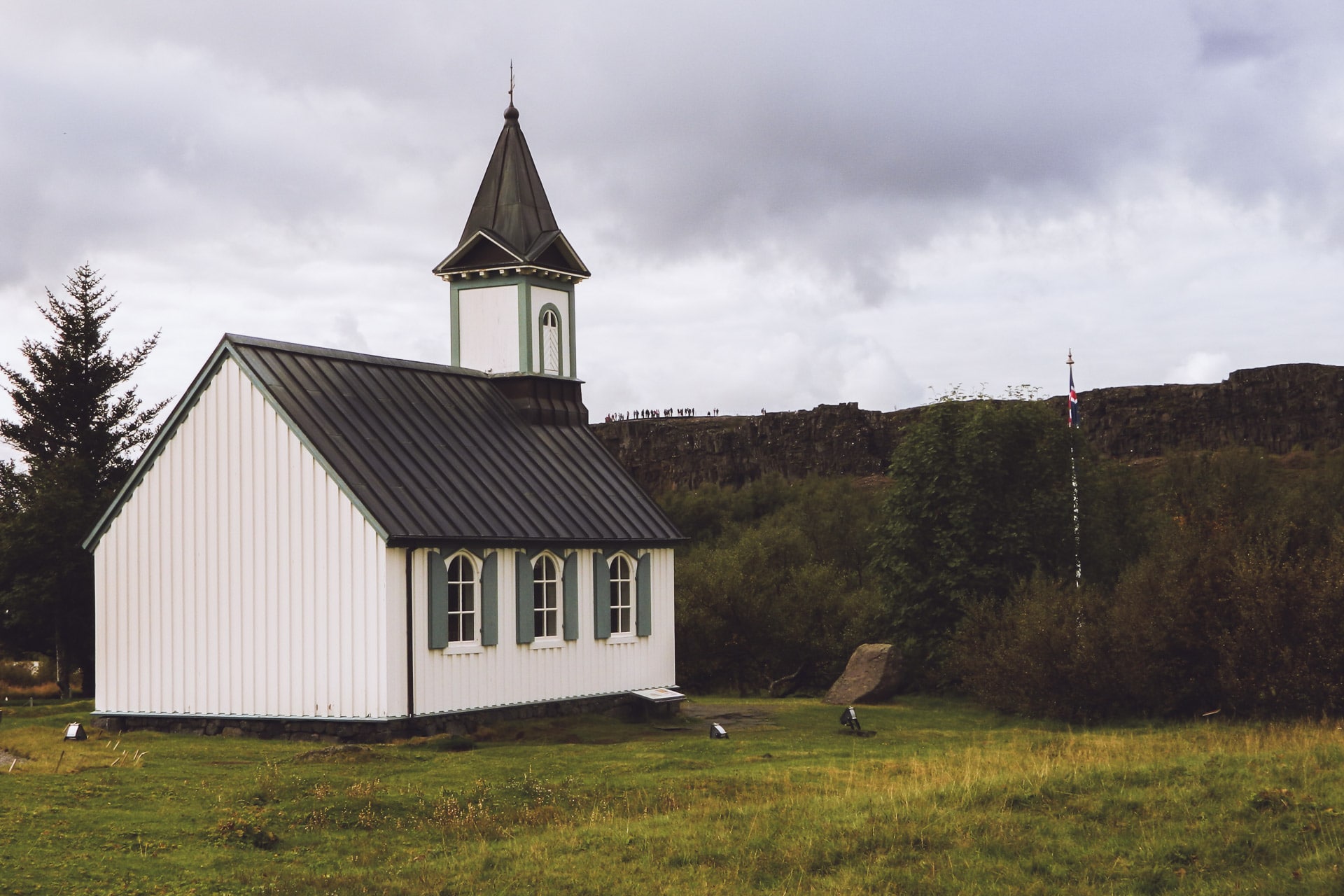
My route then takes me to the Glymur waterfall, one of the highest in Iceland. To get there you first have to follow the road 47 and then finish the way on foot by a small hike very nice even if it climbs hard at the end. The waterfall is very beautiful, nestled between the cliffs and high of its 198m.
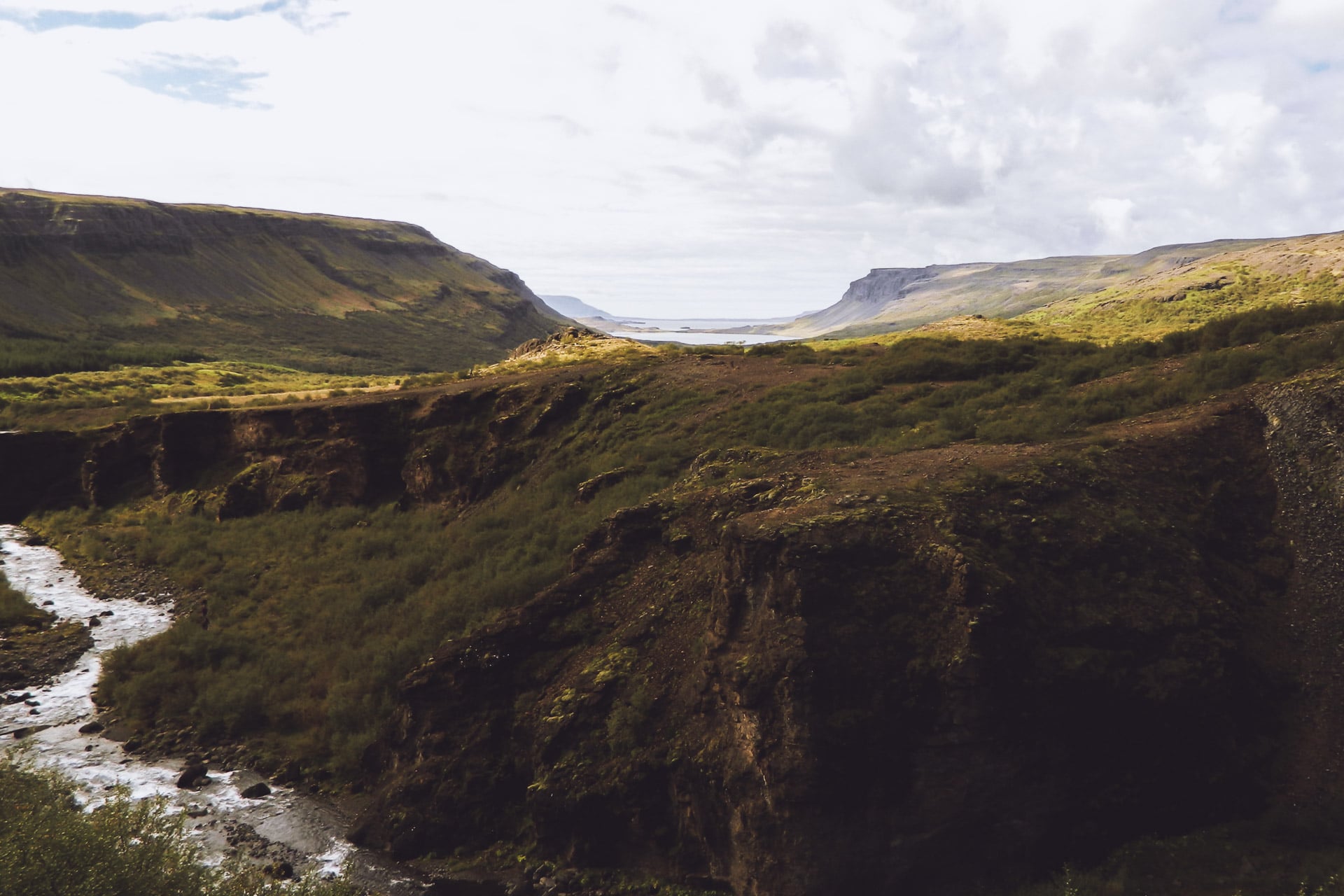
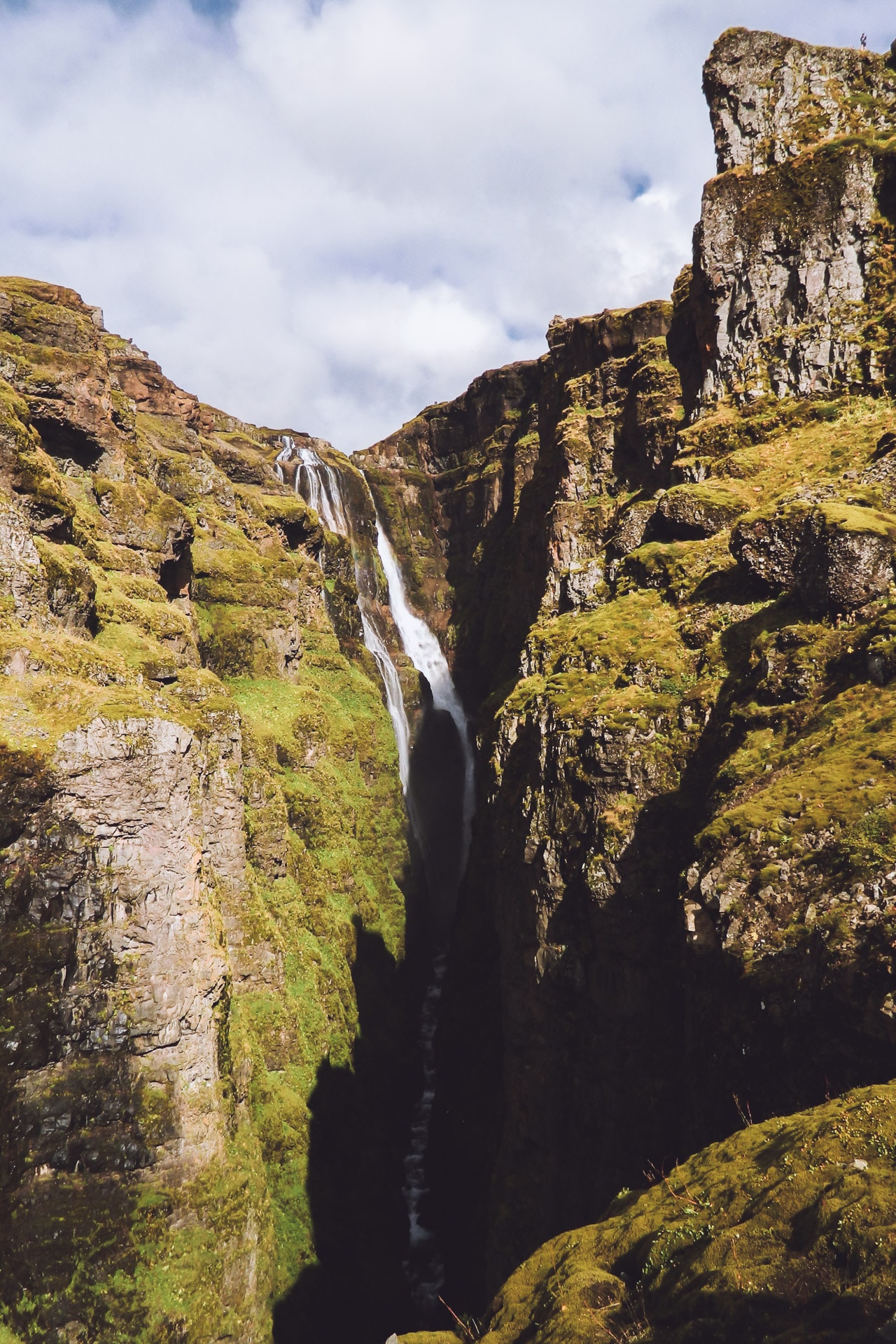
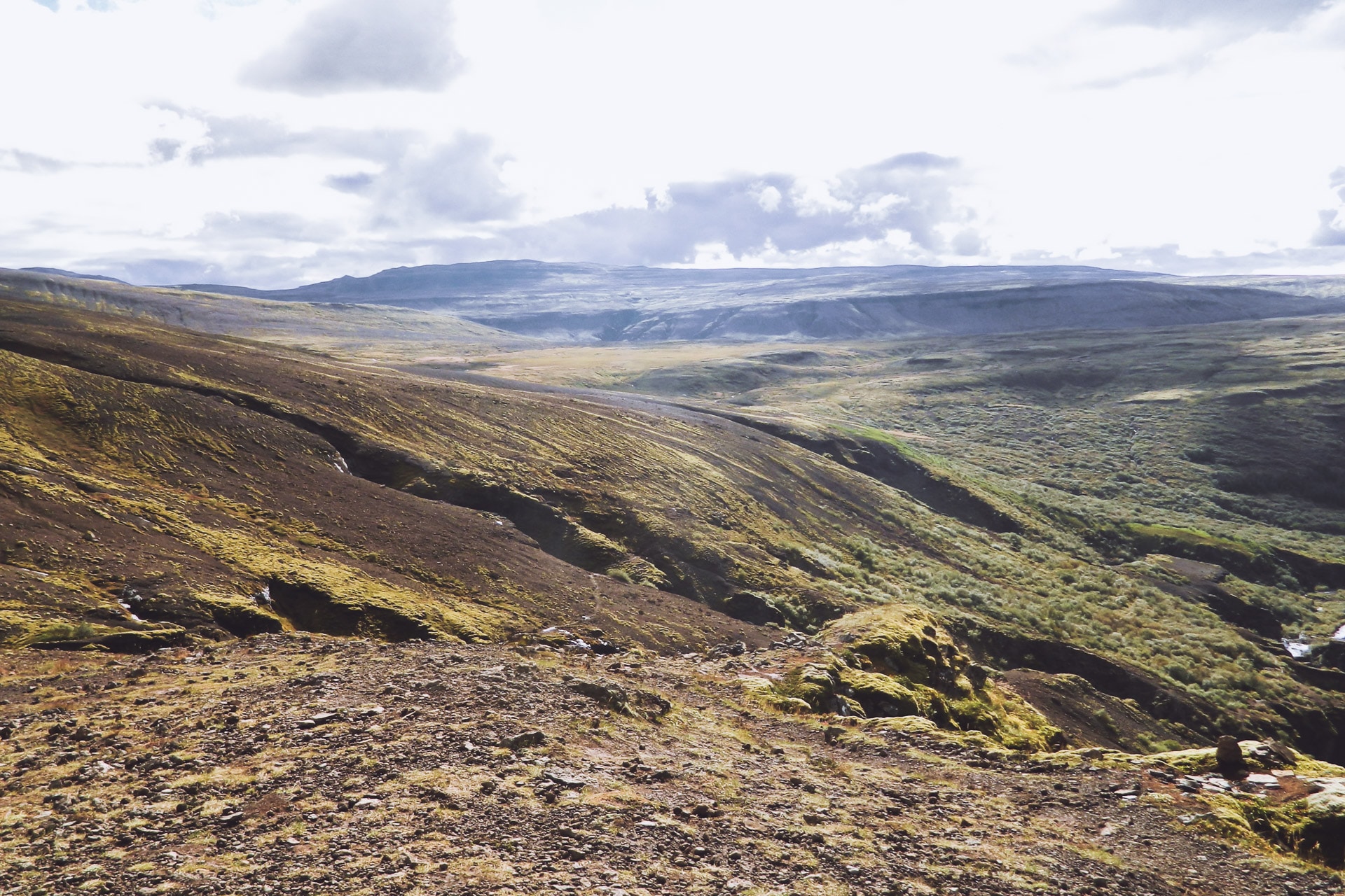
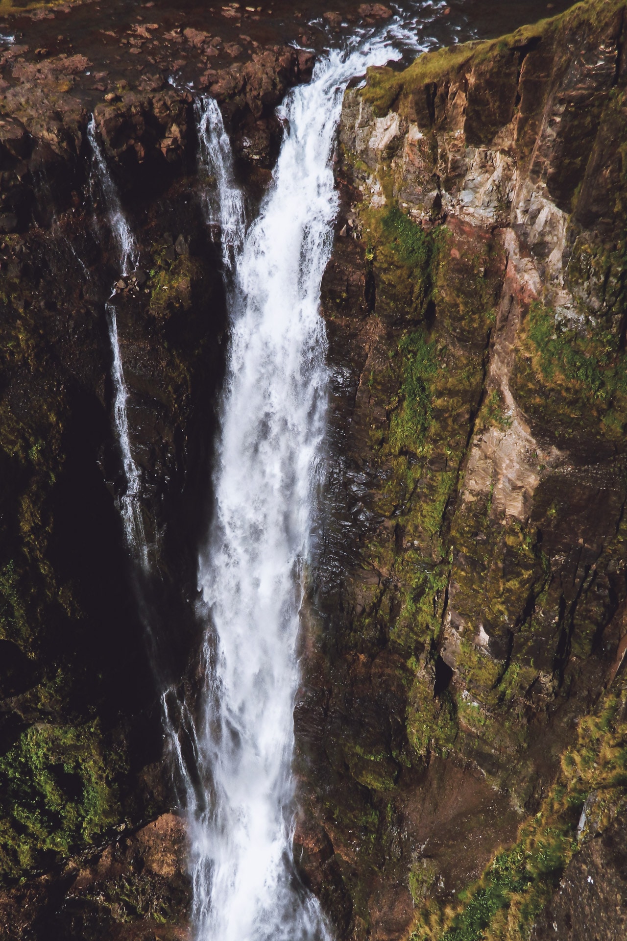
Once arrived at the top of the waterfall I wish to go down the other side to vary. The problem is that you have to cross the river that feeds the waterfall. It is nothing very bad if it is that the water is frozen. So I do not hang around (in underpants) and I miss nothing to stumble in the first meters. On the other side I stop 2min to dry with moss …
The descent is much less friendly on this side (right bank) because it’s very muddy …
Back in the car I take the road again and finally, I join the road 1 which will accompany me throughout the journey. I do not stay very long on it because I then fork on the 60 towards the fjords of the North West. I will stop not far from the road in a corner without charm to spend the night in the car.
First good day although in hindsight I should have spent more time in Þingvellir I think.
Day 3 : The NW Fjords
I have not slept badly in the car, better than I thought anyway.
The first stop of the day will be a replica of the house of the Viking Eirik the Red, the first settler of Greenland according to the Sagas.It is a nice place to visit, full of history.
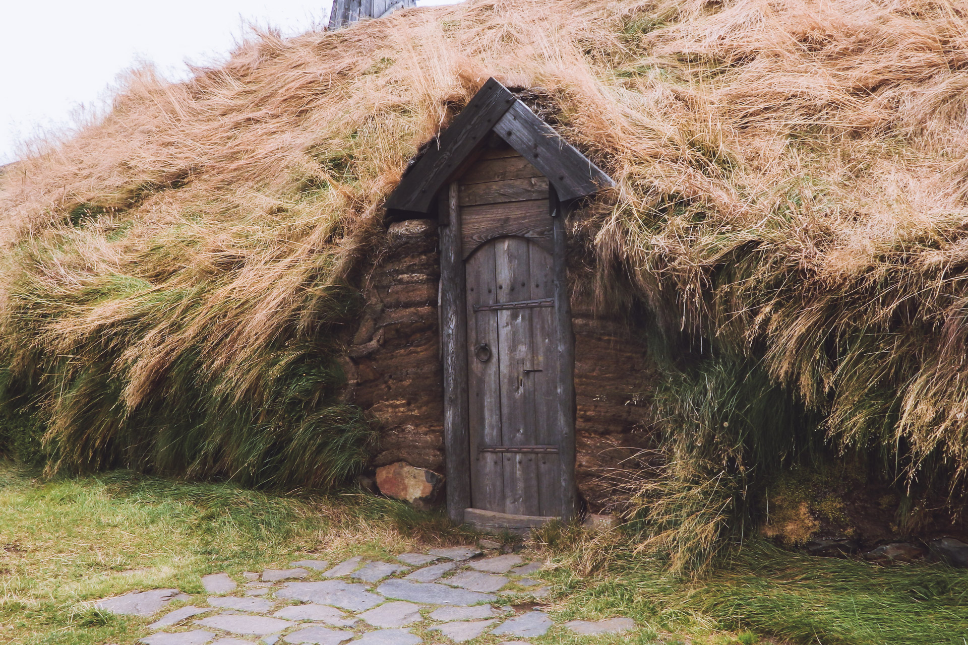
I then continue on to Route 60. New stop after a few kilometers at Sælingsdalur.
It is now to go to see a church of the Hidden People. This church is a big pyramidal hill for ordinary “mortals”, but according to the local sayings it is a spiritual place of the Hidden People. I go there so that I may see all this by myself. So I start climbing the hill. The view is nice but unfortunately no contact with a possible Hidden People …
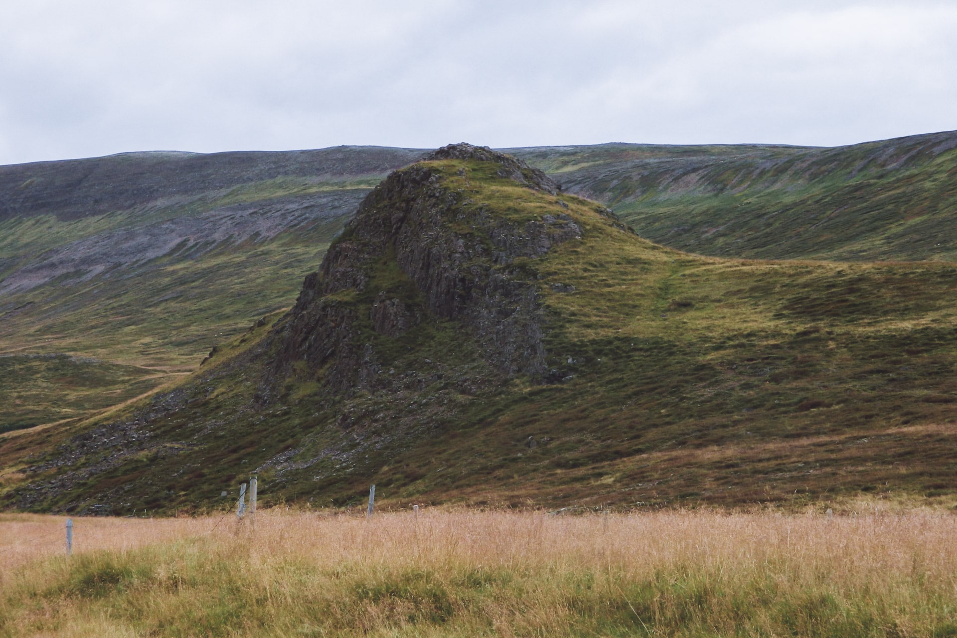
After this last stop I attack the heart of the subject of the North West Fjords because the road is no longer tarred. In Iceland, there is only the main road (the 1) and some adjacent secondary roads that are good. The rest of the roads are carrossable but with a small car is not ideal. So I go slow, not much more than 30km/h. At least I have time to enjoy the amazing scenery. There is hardly anyone on the road, the feeling of loneliness (in a positive way) gently sets in.
Quickly the weather turns to storm … I do not want to soak my tent tent tonight, so it will be another night in the car. I land at a small pass not far from a statue. Nothing is visible outside but rain. I’m totally wet because I wanted to go for a short walk … bad idea. I will finish the evening so eating cold …
Day 4 : Further in the fjords
In the morning the rain and the fog are still there. So I leave without seeing anything of the view, certainly beautiful of the place in good weather. The road is still so bad and I’m not moving very fast.
Towards the end of the morning, the bad weather calms down a bit and the sun seems to want to break through; which finally arrives around noon thus offering a superb spectacle of rainbows, light shades and light absolutely superb.
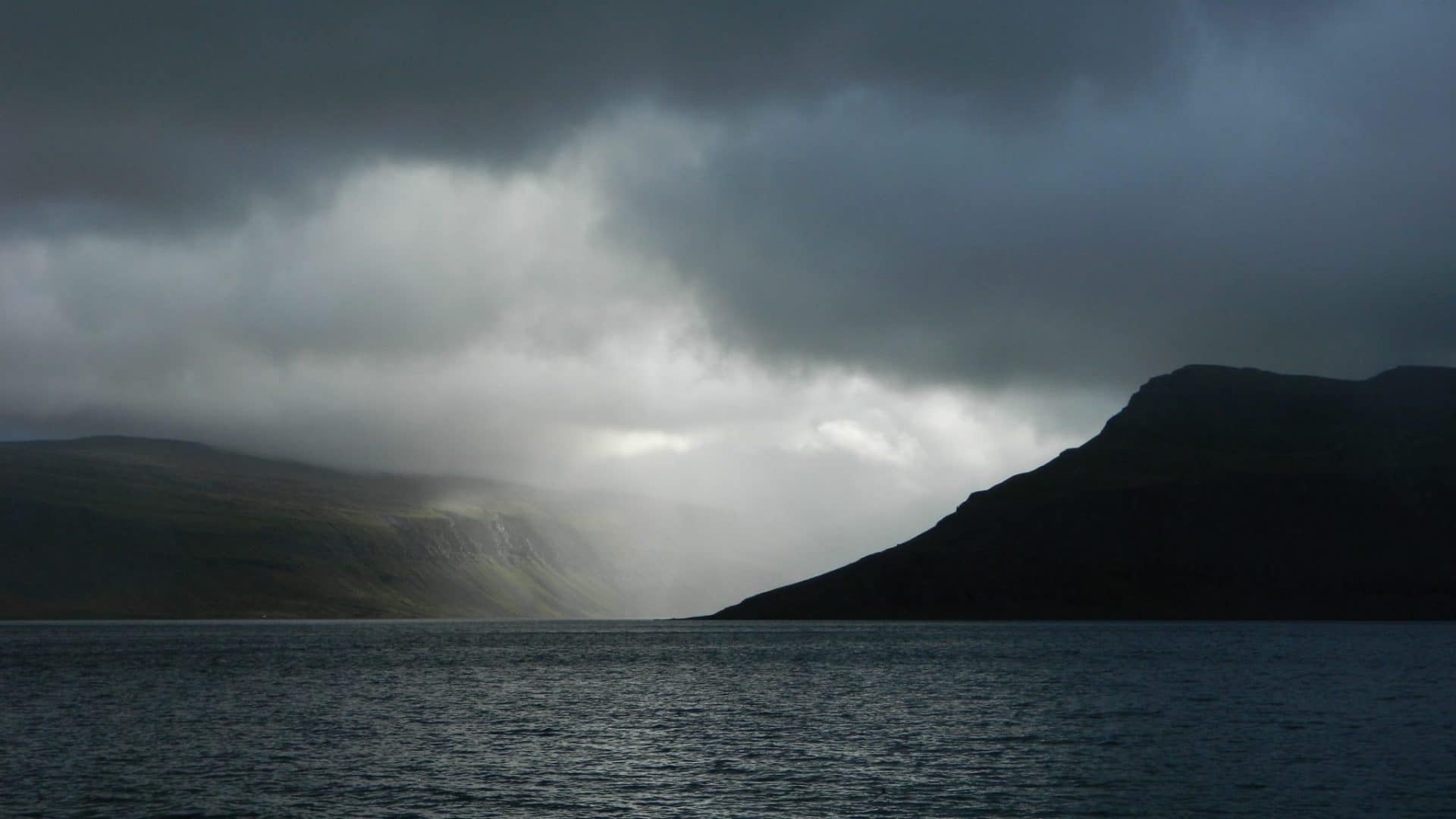
I then head for the Fjallfoss waterfall (also called Dyjandi). The road to get there passes through the mountains and I only meet one car for over an hour. The effects of light are still beautiful.
The waterfall is also impressive with 100m high and 30m wide. It looks like a veil on the mountain.
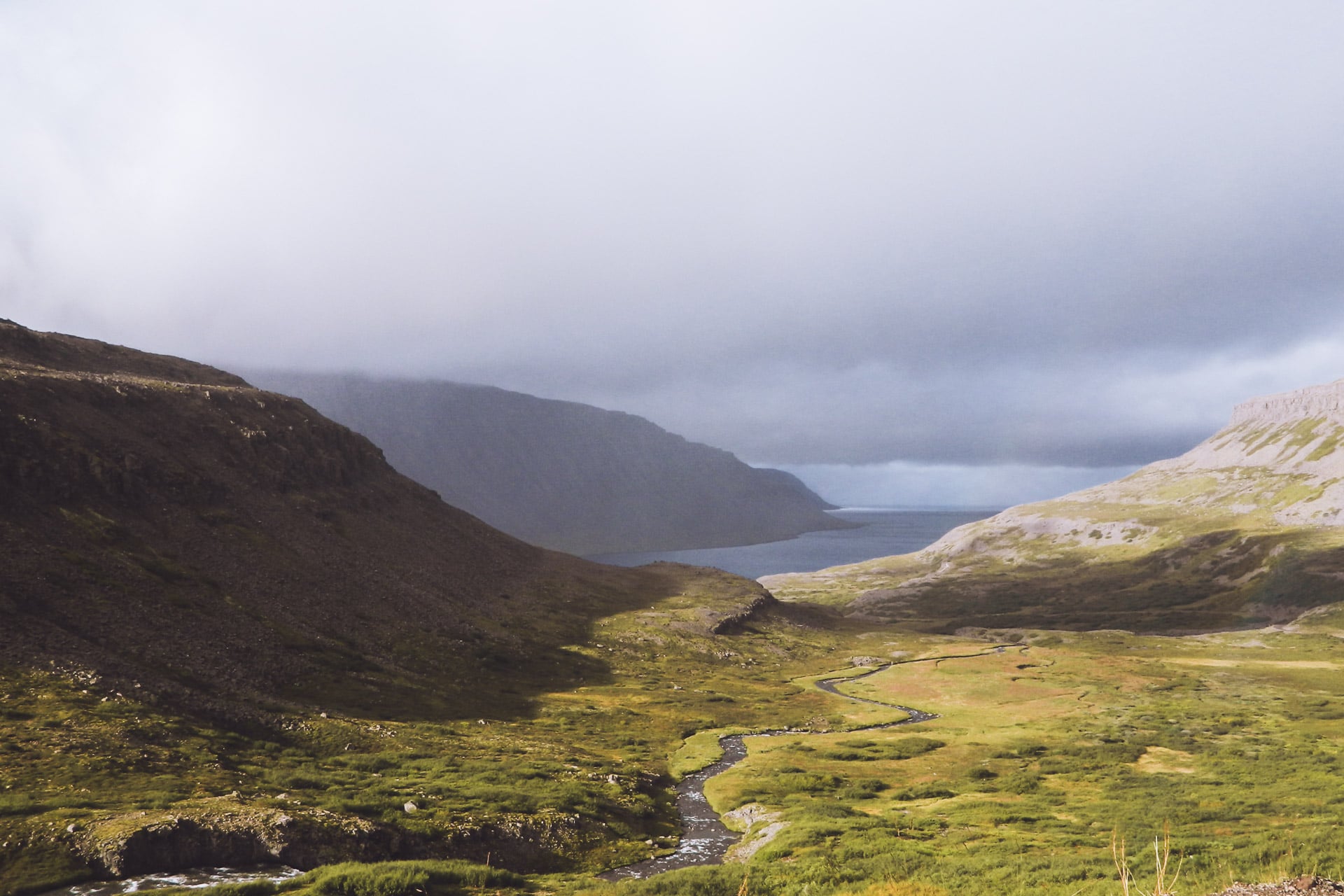
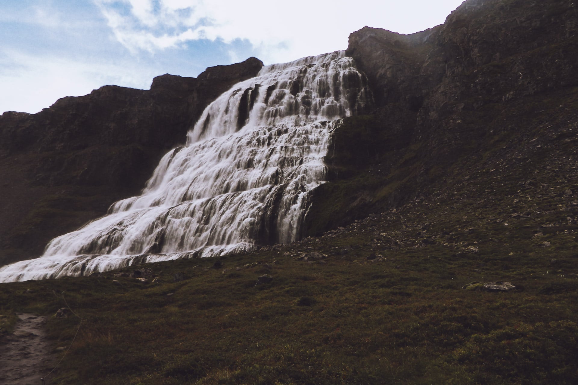
The road then takes me to Isafjorður. I stop there to eat hot (fries and a burger !!!) and also refuel and check that the car is fine. After this break I drive along the coast that undulates to the rhythm of the fjords.
Further to observe the local fauna because a group of seals stays in the zone and by chance they are there at 50m. They keep their distance but they are easy to see.
It is time to find a place for the night, which will be done at the point of Ogurnes. I set up the camp not very far from the road but given the passage, close to zero, I will not be bothered. Last spectacle of a day, there, is in the middle of the fjord, a whale whose I can see the breath, too far for the camera but very nice nevertheless.
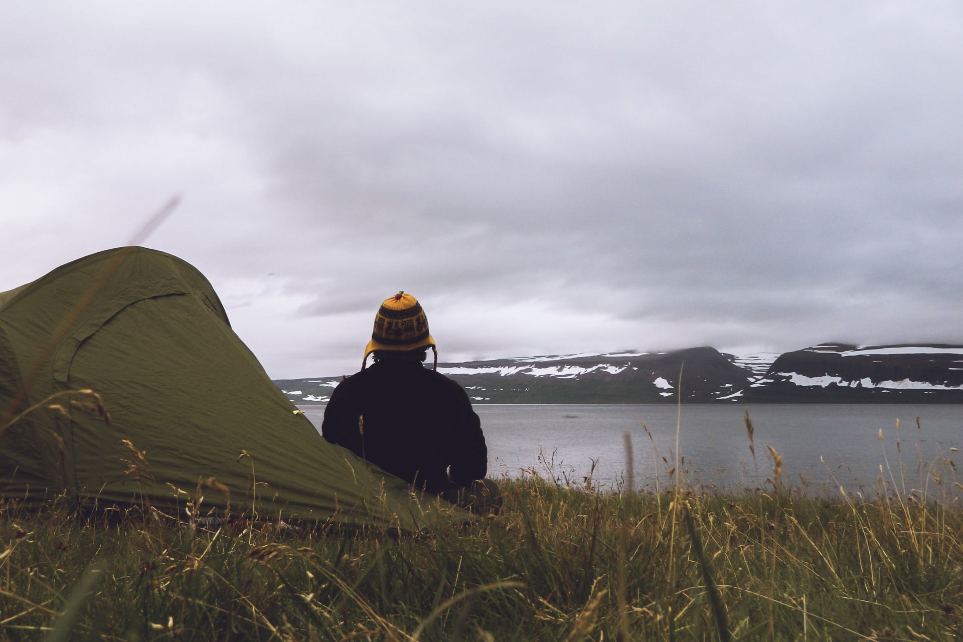
Day 5 : Out from the fjords
A good little night lulled by the sound of the surf and 0 cars. The mornings are cool in the beginning of September.
I take the road again to get out of the fjords. Before reaching Holmavik, I go through a kind of plateau, totally desolate and rocky. This emptyness is beautiful.
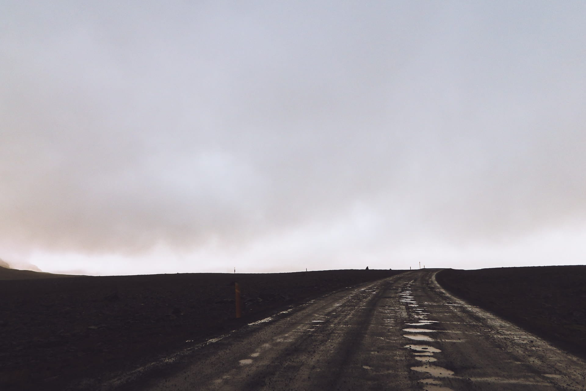
Holmavik is not very interesting as a city. I just do a little detour to go to a holy source but it’s not very impressive. I read in my guide that in a neighboring town at Drangsnes there is a petrified troll and especially a free public bath.
I go there especially after these 4 days without showers … The city is very small but they have installed on the waterfront three small pools fed by a hot spring certainly captured upstream. I dive after taking a shower. What a pleasure to be in a water at 35 ° C facing the sea. I rest and take advantage of the moment.
After this well deserved bath I will see Kerling the petrified troll. Today it is a big rock laid there, it is quite surprising.
From memory the legend says that three trolls wanted to dig a channel to separate the fjords of the northwest of Iceland. Busy with their work, they did not see the sun rise and were petrified on the spot. According to legend, still, the island of Grimsey facing Kerling would be her bull also petrified. The other two trolls are on the other side of the fjord, and they will be seen later.
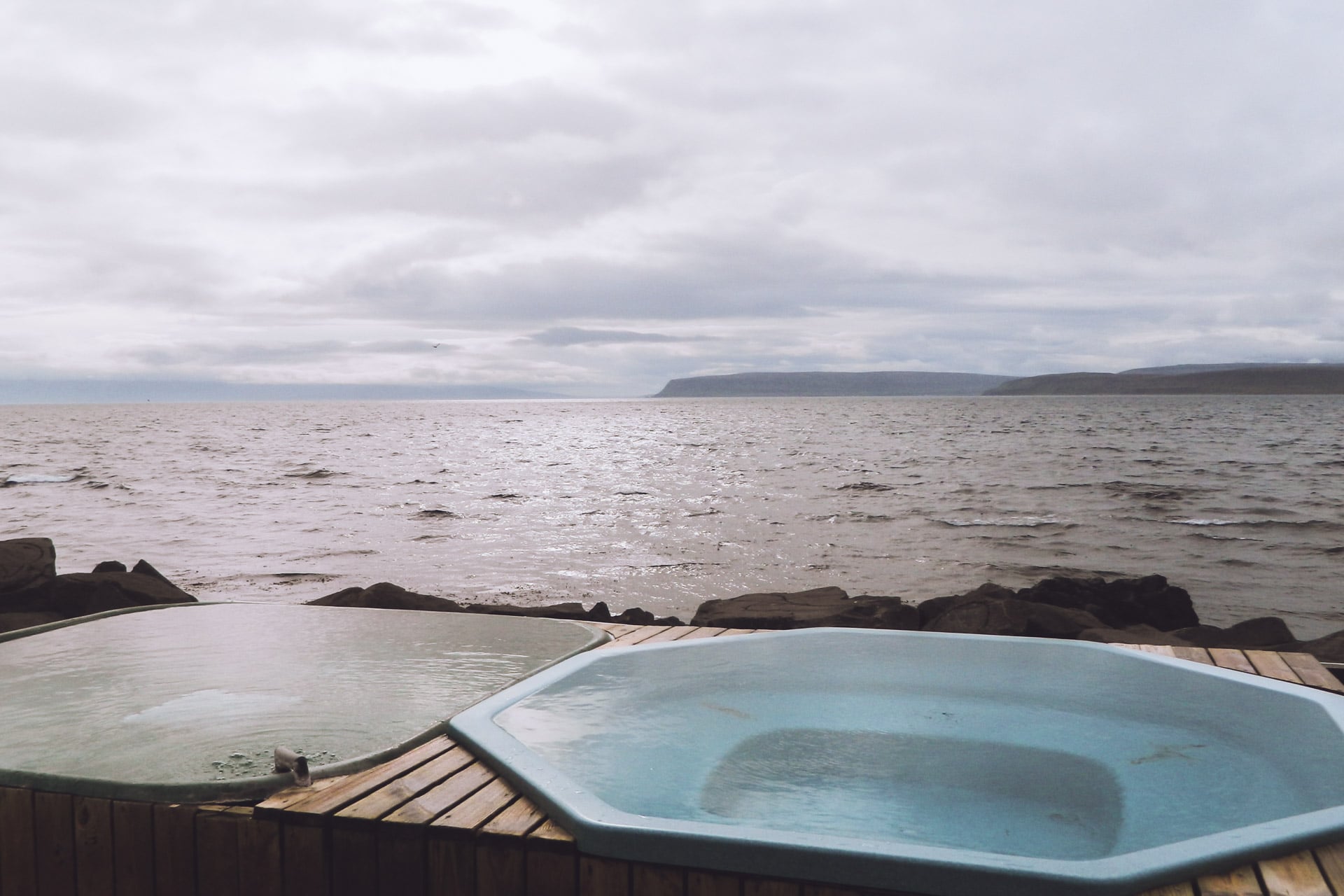
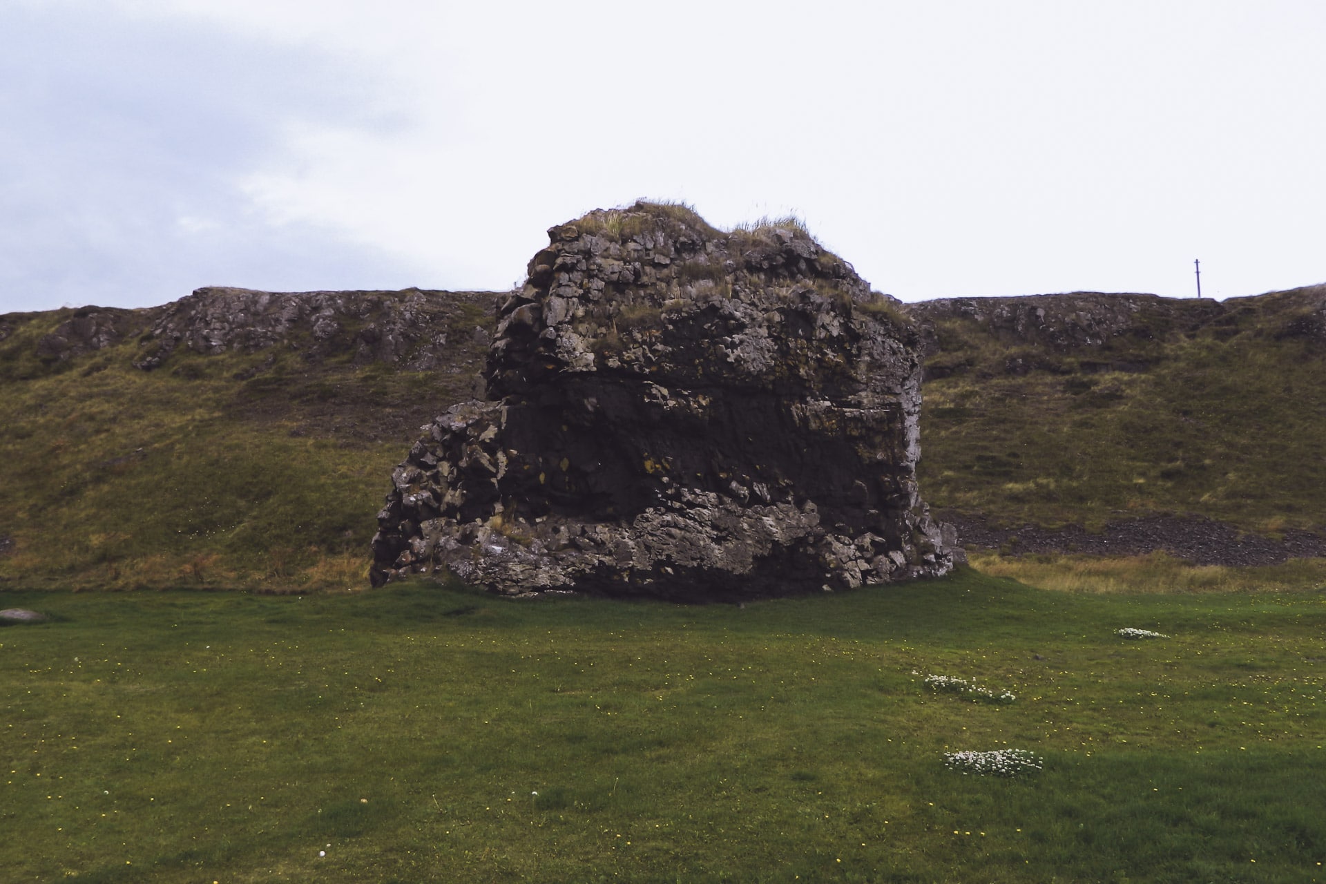
Once this”trolly” break carried out I take the road and rejoin the road 1 after a meal break facing the sea.
The Fjords of the North West took me three days but it was worth it. The isolation of the place is superb, especially in this period because there really are not many people to cross.
Once on the main road I find a little traffic and the place is less friendly, more flat …
I will also make a small hook to see the two petrified trolls on this side of the fjord.
Tonight I will land at Kolufoss Falls. It is raining so I take my meal in the rain but I will make the night in the car.
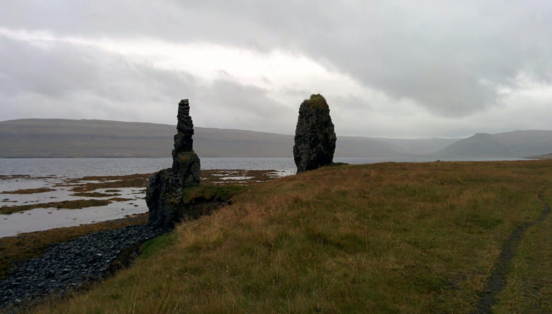
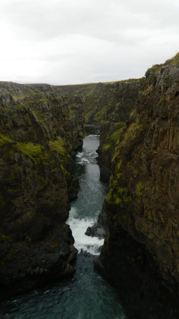
Day 6 : Geocaching and "lost road"
Already 1700km … not bad. Today I do not have a big program, my main goal is to make a lost geocache at the end of a road in Skagafjord.
The principle of Geocaching is simple: people (anyone) will hide small boxes in interesting places and simply inform their GPS coordinates on the site. The goal is not so much to find the box as it is to discover something, a place, a bit of history. Almost all the stops I make in Iceland have been motivated by a geocache so far.
The beginning of the road for the geocache is rather good and it goes well. By cons quickly I find myself on a small road, stony and not wide at all. Impossible to turn around … I walk almost at a pace. I sometimes have to get out of the car to remove the stones on the road … I admit that at one point I wonder a little what I do there. After 2 hours (not easy) I finally arrive in the small abandoned farm. From there you have to descend towards the river and then cross by a kind of wooden crate suspended by three cables over the raging river … Not reassuring but it goes well. The geocache is finally there!
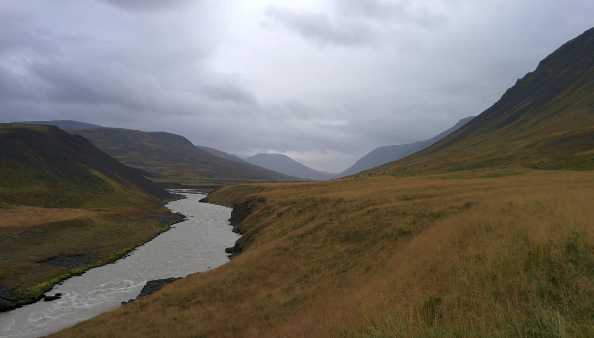
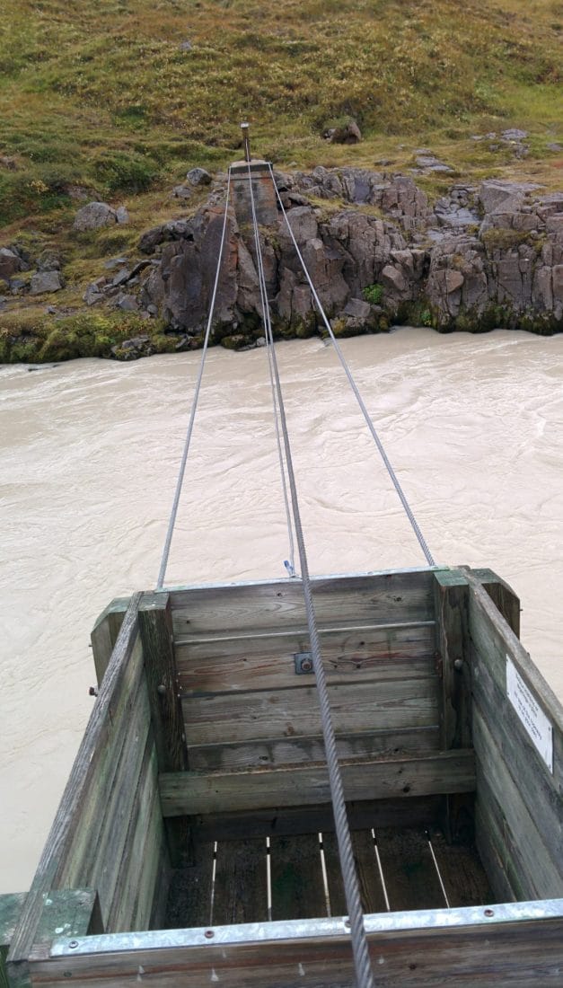
For the rest of the day I will go back on Route 1, which will take me a long time from the geocache, and then take on Route 76 in the direction of Siglufjorður, a pretty little village with colorful houses. Today there is a tunnel connecting this city to Olafsfjorður but I prefer to use the old mountain road (802).
I will stop for the night at the level of the tiny shelter. The place is beautiful even under the clouds. I will calmly enjoy the late evening admiring the scenery and reading.
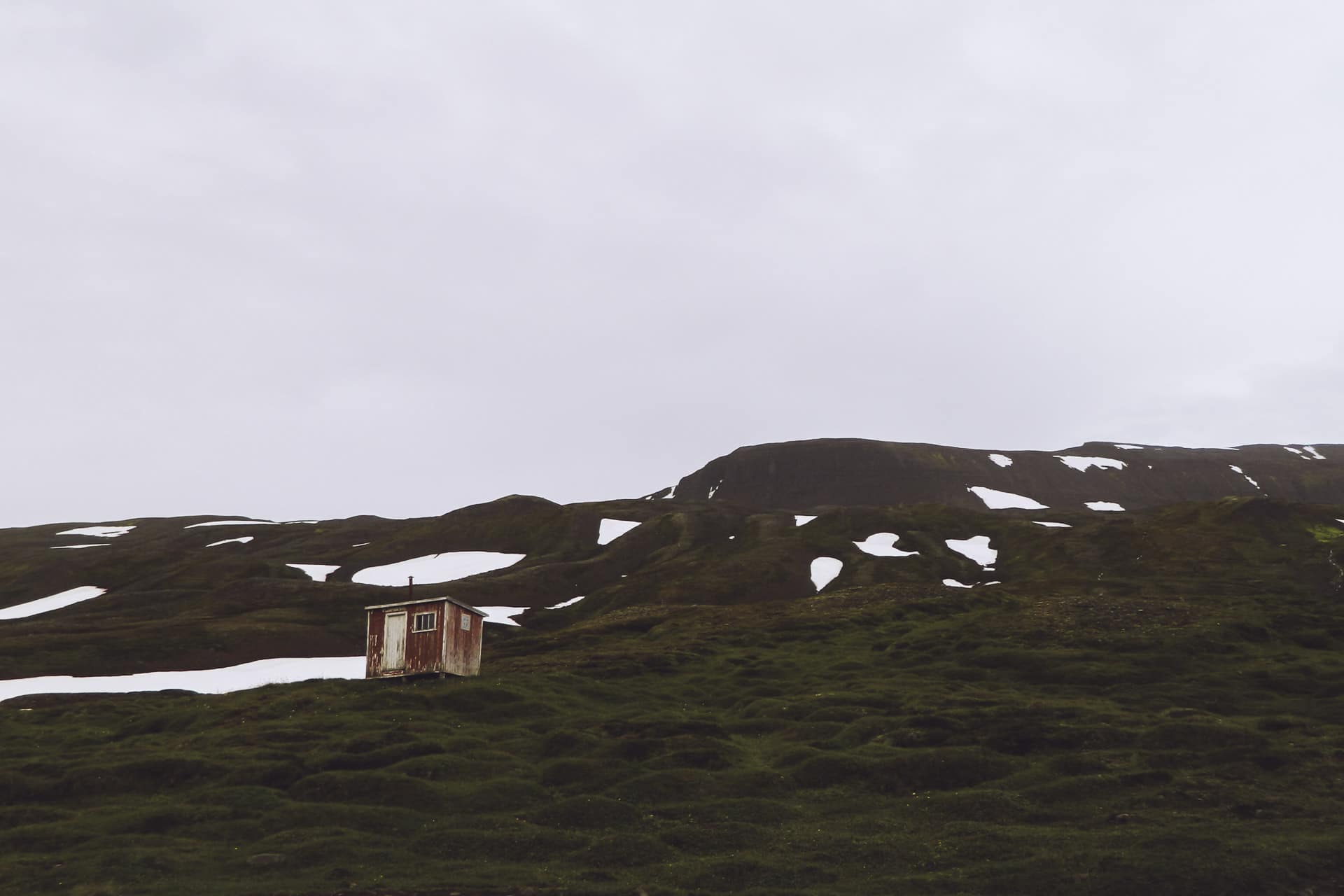
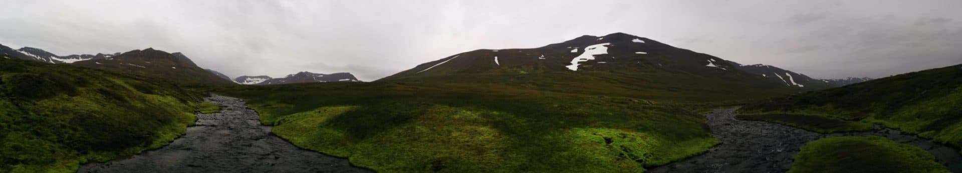
Day 7 : Akureyri
Not very busy day in perspective. I am about halfway through my journey and I need a good shower, a good meal and a bit of rest. Heading to Akureyri, the second biggest Icelandic settlement with 17,000 inhabitants.
Before that I have to join Route 1 but as it is still early I decide to go back my steps and go up for a ride to the small lake of Hraunsvatn. To do this, you have to park at a small farm not far from Route 1. You then attack the climbing route by a cattle barrier (which must be closed of course).
The climb is nice especially since it is sunny, on the other hand there is a strong wind especially at the level of the lake.
The site is beautiful, nestled between small peaks. The lake is known for salmonid fishing. I make a little geocache and I go down.
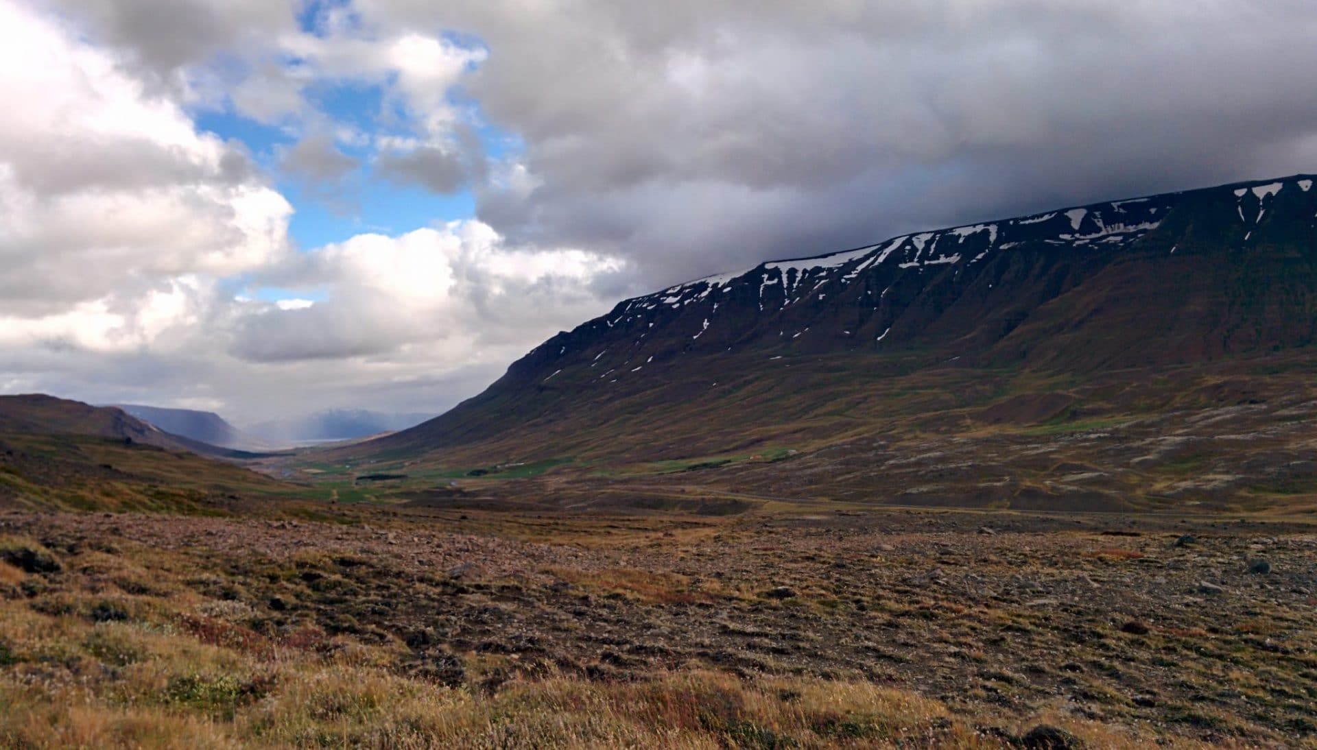
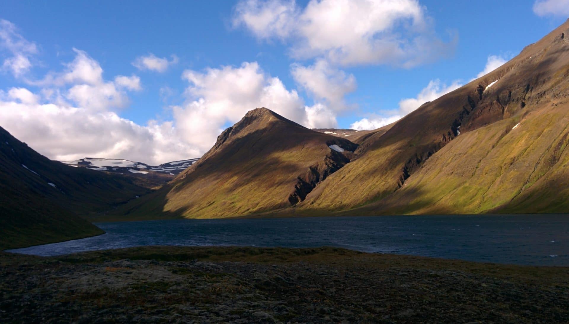
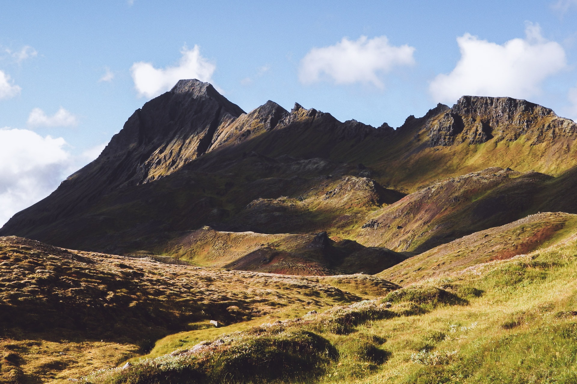
I then take the road to Akureyri. I spend the night at the “Akureyri BackpackersYouth hostel” in the small street of Hafnarstraeti. The hostel is nice and well kept. In the afternoon I take a walk around town but there was nothing very exciting to see (I did not explore very far). In the evening I will enjoy to be in town to eat a good meal, warm and cooked!
It feels good to see a little people and chat (especially with a guy from Quebec and a German from my room) but I also look forward to going back to nature and loneliness, one quickly needs it…
Day 8 : Myvatn and Krafla
Despite some snoring the night will not have been so bad. In the morning I have lunch with Pascal, the guy from Quebec. I then take the road towards the west and Myvatn which is a rather dense region in volcanic activity.
On the way I stop at Godafoss, historical place because here, according to legend, the pagan icons were thrown to the waves when Iceland decided to be Christianized. I then bypass the Myvatn by the south, it is a large lake to the east of which one already sees some interesting structures. Myvatn means “Lake of Flies”, in fact in summer the lake is covered with clouds of flies that can be a real pain in the a**. There are much less in September but these are annoying because attracted by CO2 produced by mouth, nostrils and eyes.
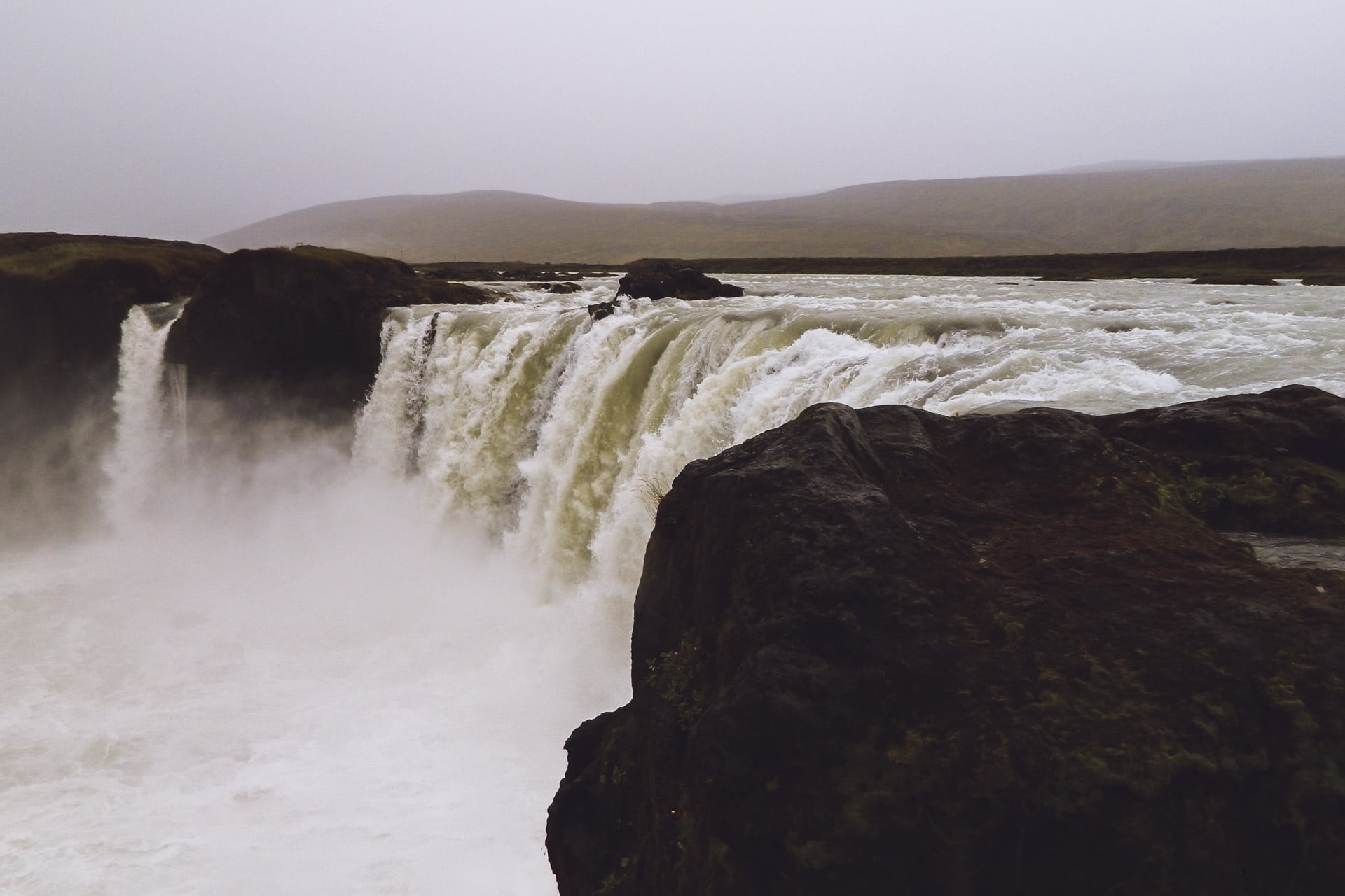
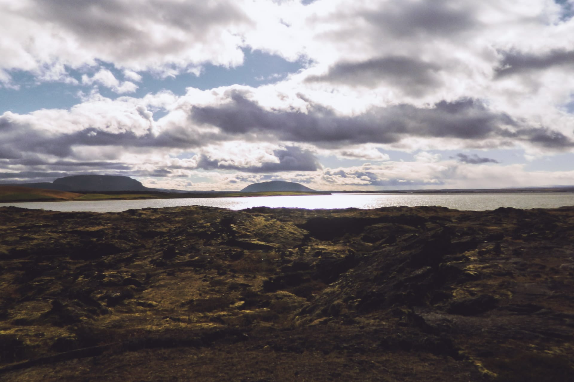
I begin my visits around Myvatn by Dimmuborgir. This amazing place is a set of basaltic structures with extravagant forms and forming a true labyrinth. I visit with Stefie, the German backpacker of the previous day that I met in the parking lot.
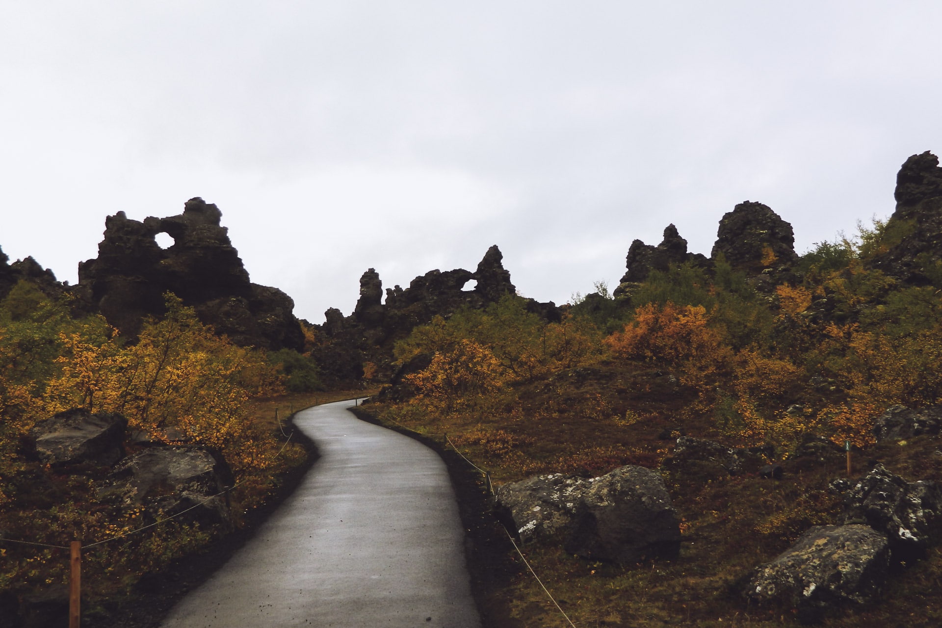
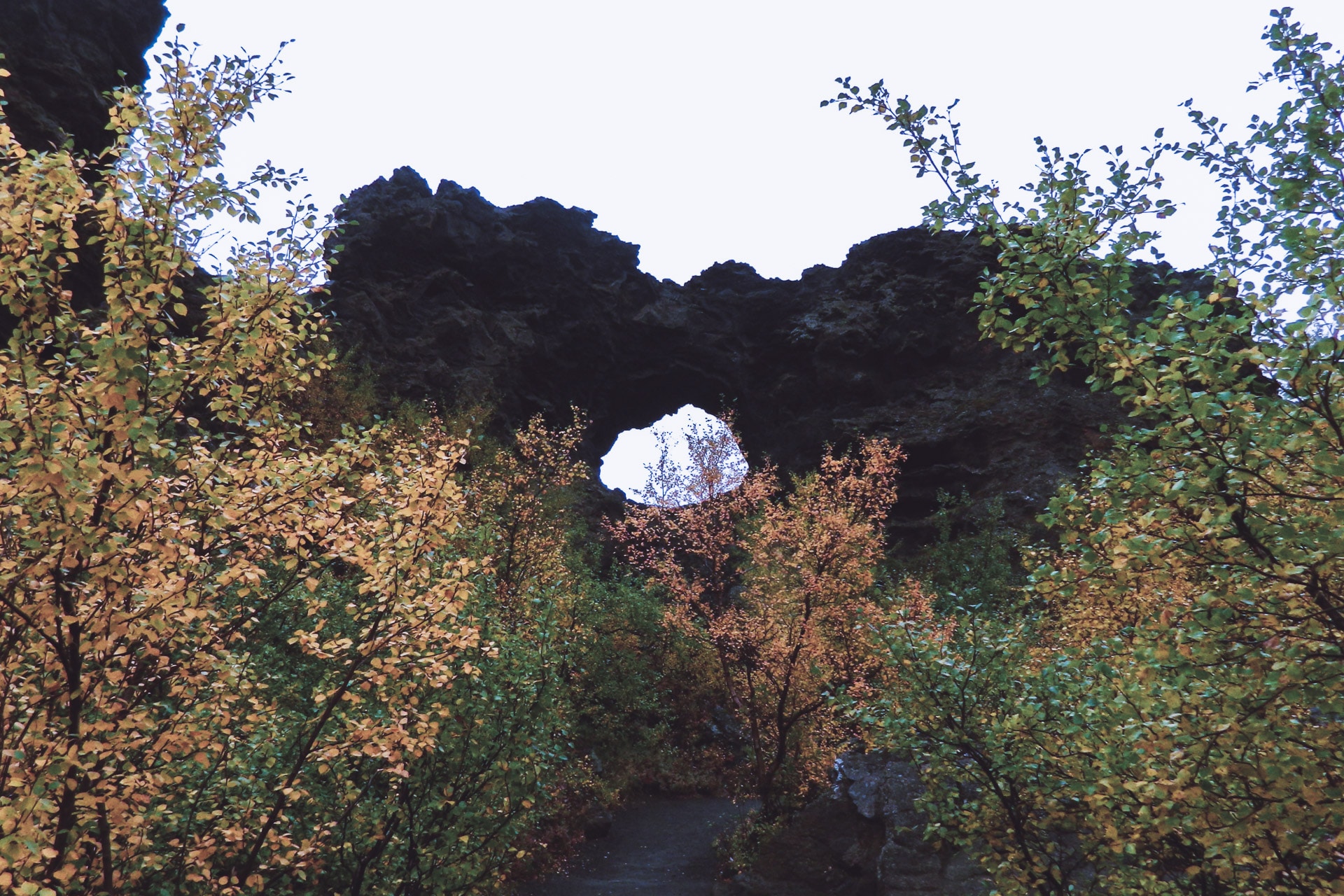
We then continue towards Hverfell, an immense cone of ashes and peebbles of obviously volcanic origin. It is gray at the end of the morning, so it gives the whole impression of Mordor or Lunar landscape. The view from the top is beautiful and the whole is impressive.
For the descent we make this full slope, it is more fun and faster.
We then walk to a geothermal cave, Grjotgja. The cave is nestled in a steaming crack.
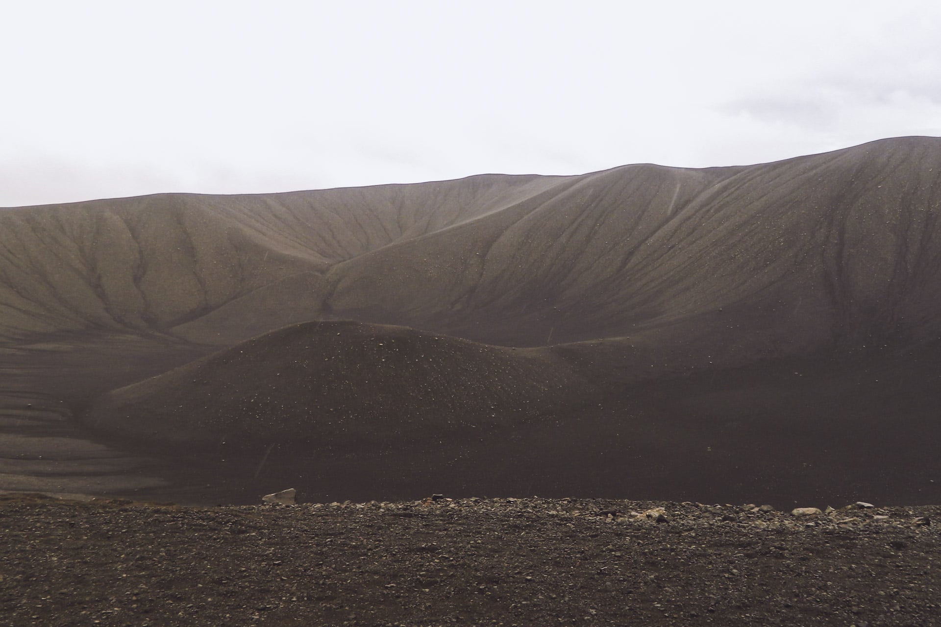
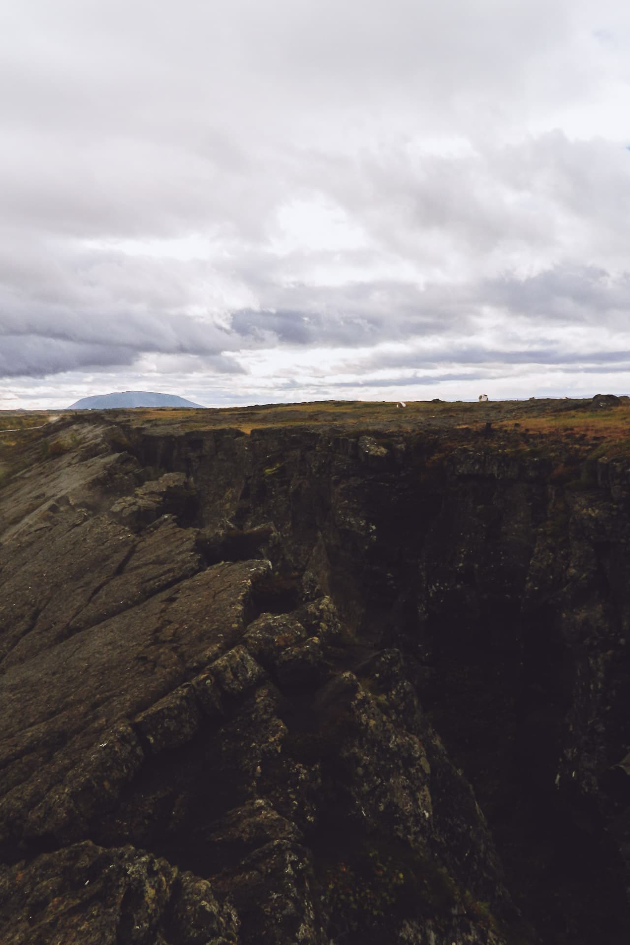
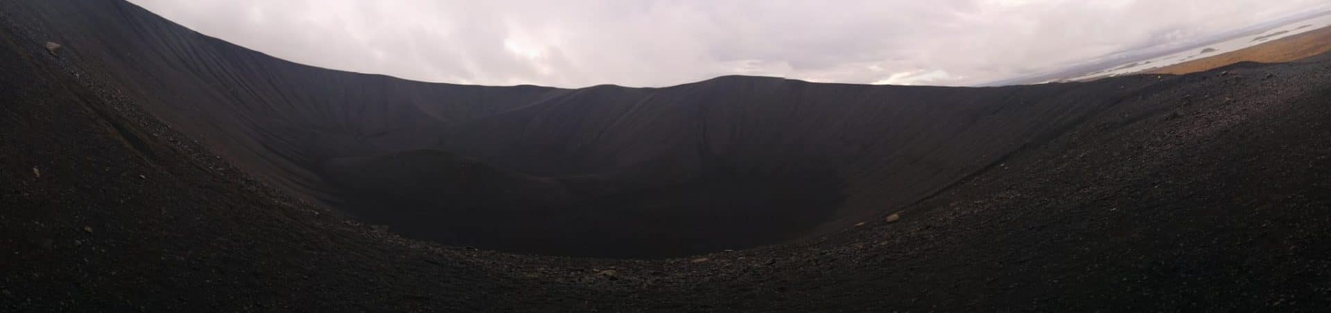
On returning from the cave, Stefie continues the road on his side. On my side I head for the Krafla. The sun is finally back and it changes everything!
I roll the windows wide open, the music to the max! The landscapes change it is more and more beautiful.
After a big hill, I stop at Hverir which is a large area with rich volcanic activity: fumaroles, boiling baths and a good smell of sulfur. It’s very beautiful, the colors are crazy.
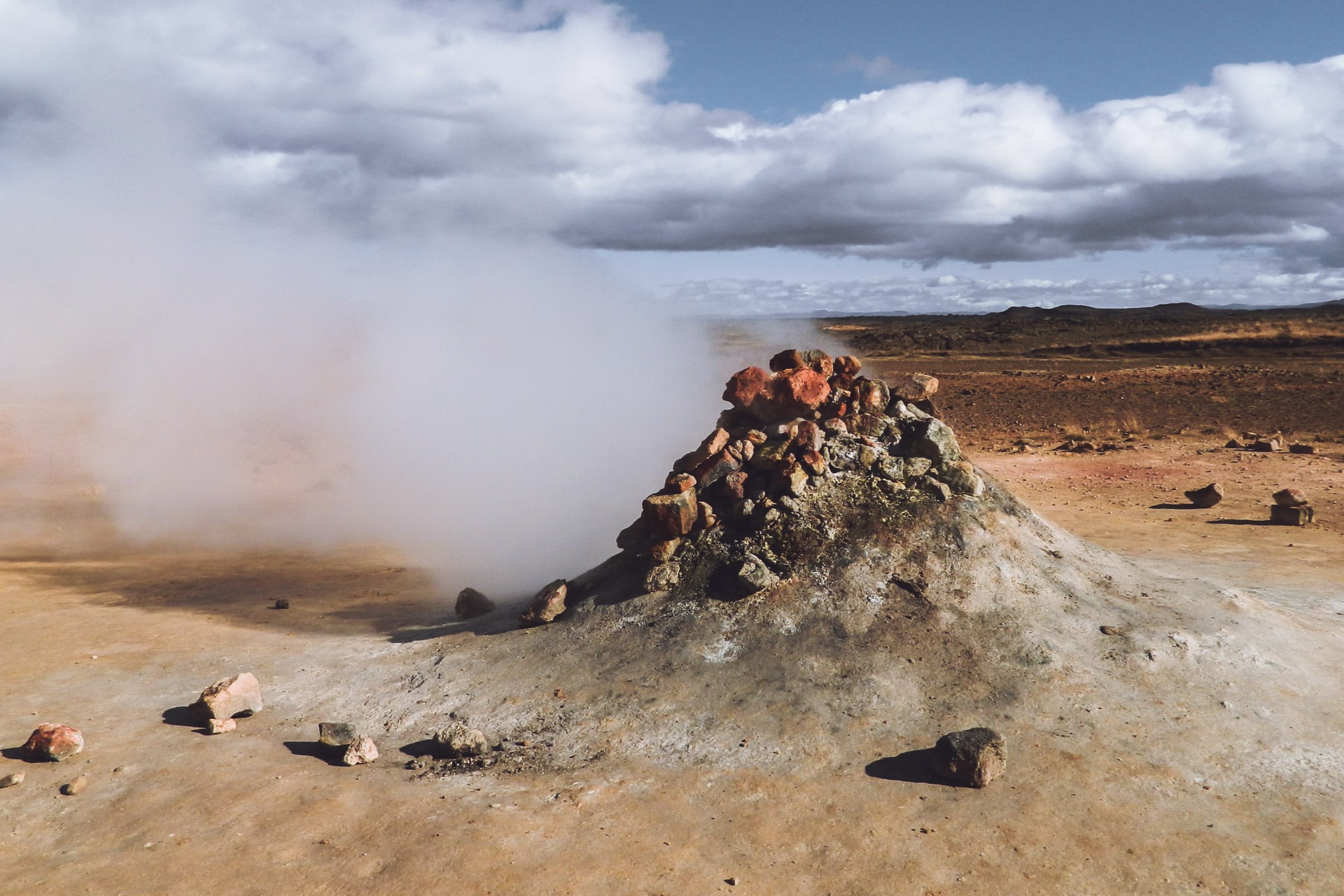
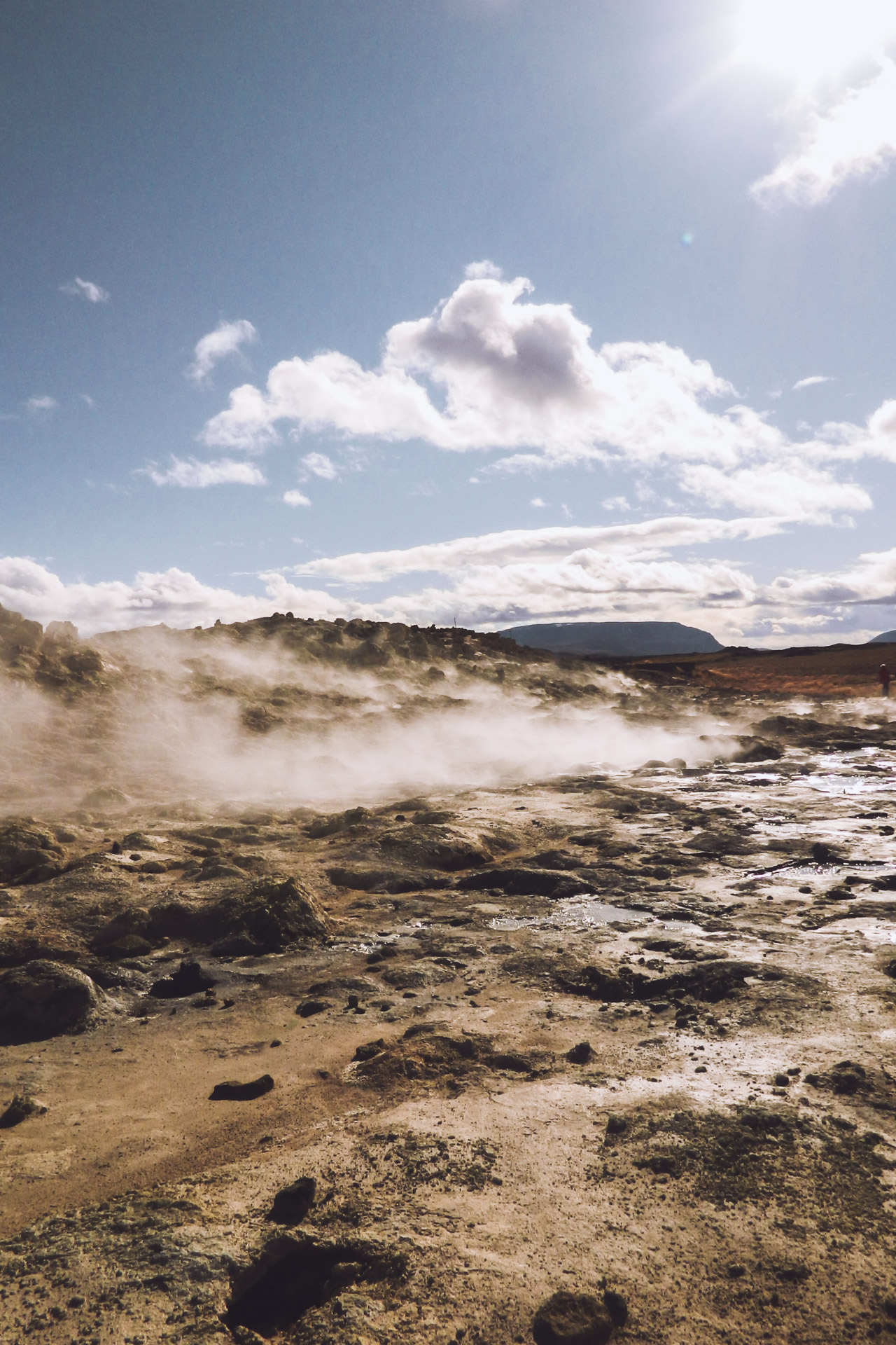
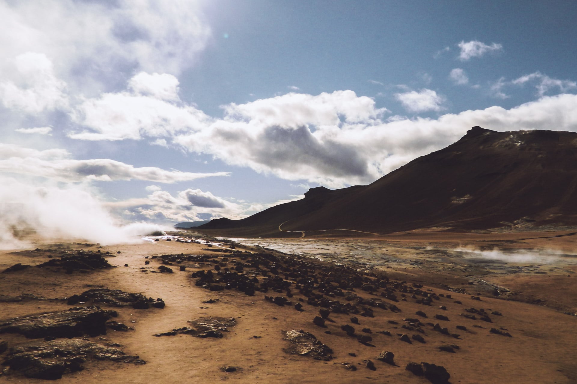
I continue the road a few kilometers before turning on the left towards Krafla, a volcano of 818m of altitude know to have a rich activity its last eruption dates from 1984. The place is very windy today, it adds to the majesty of nature here with the crater and its lake of unrealistic blue waters. It’s beautiful.
I then walk through a lava filed that is just a few years old. Life slowly resumes in the middle of the black rocks. There are not many people, it’s beautiful, all this invites to stroll.
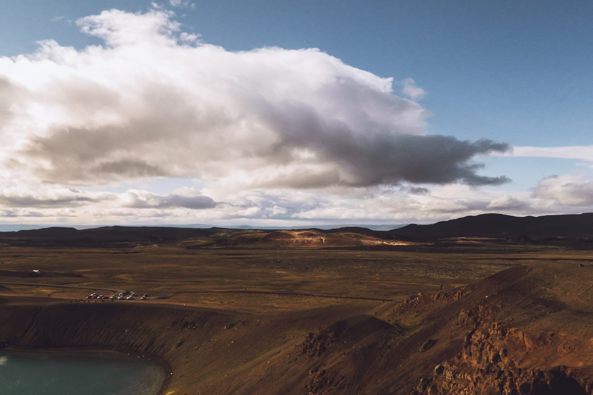
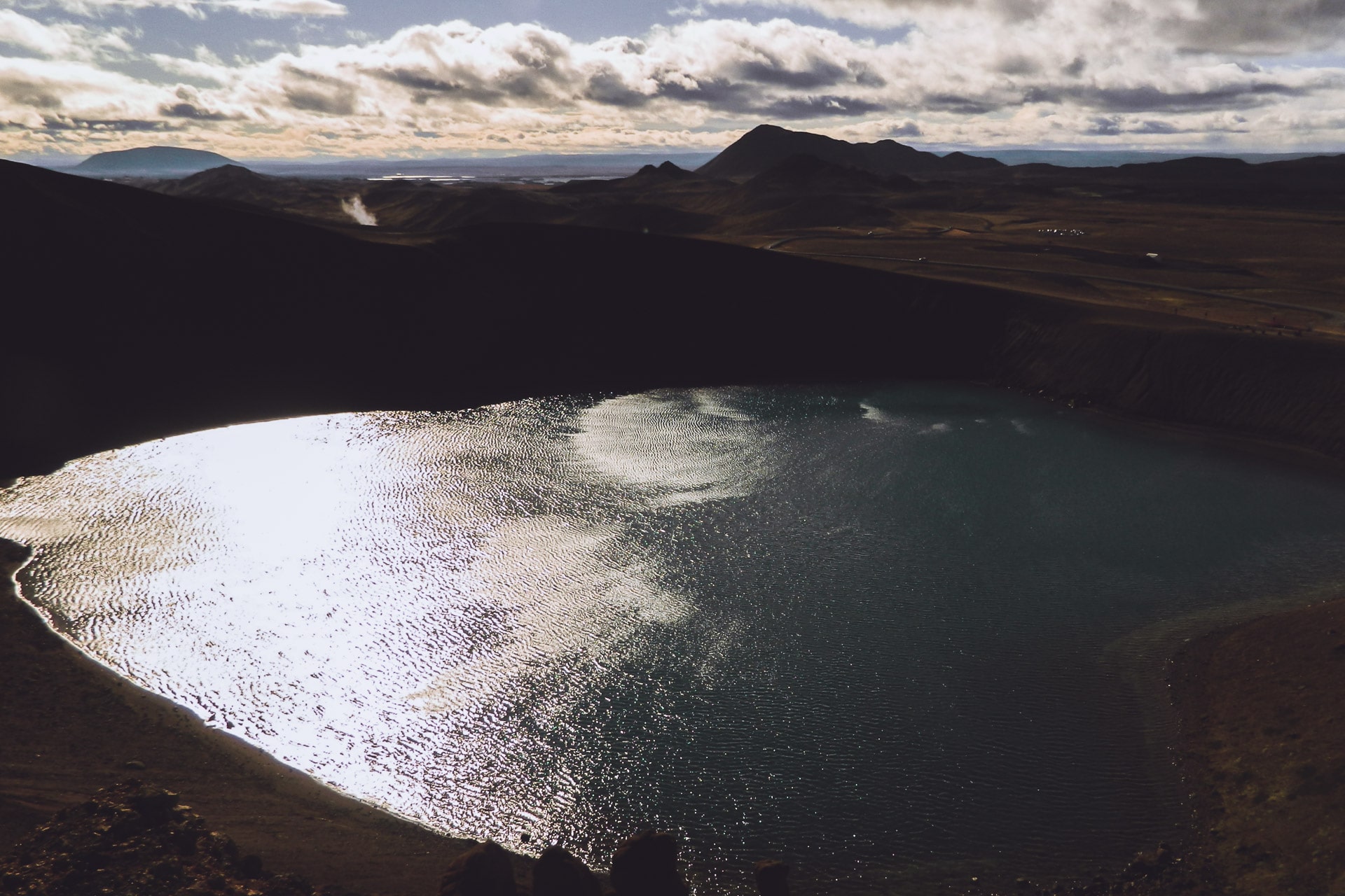
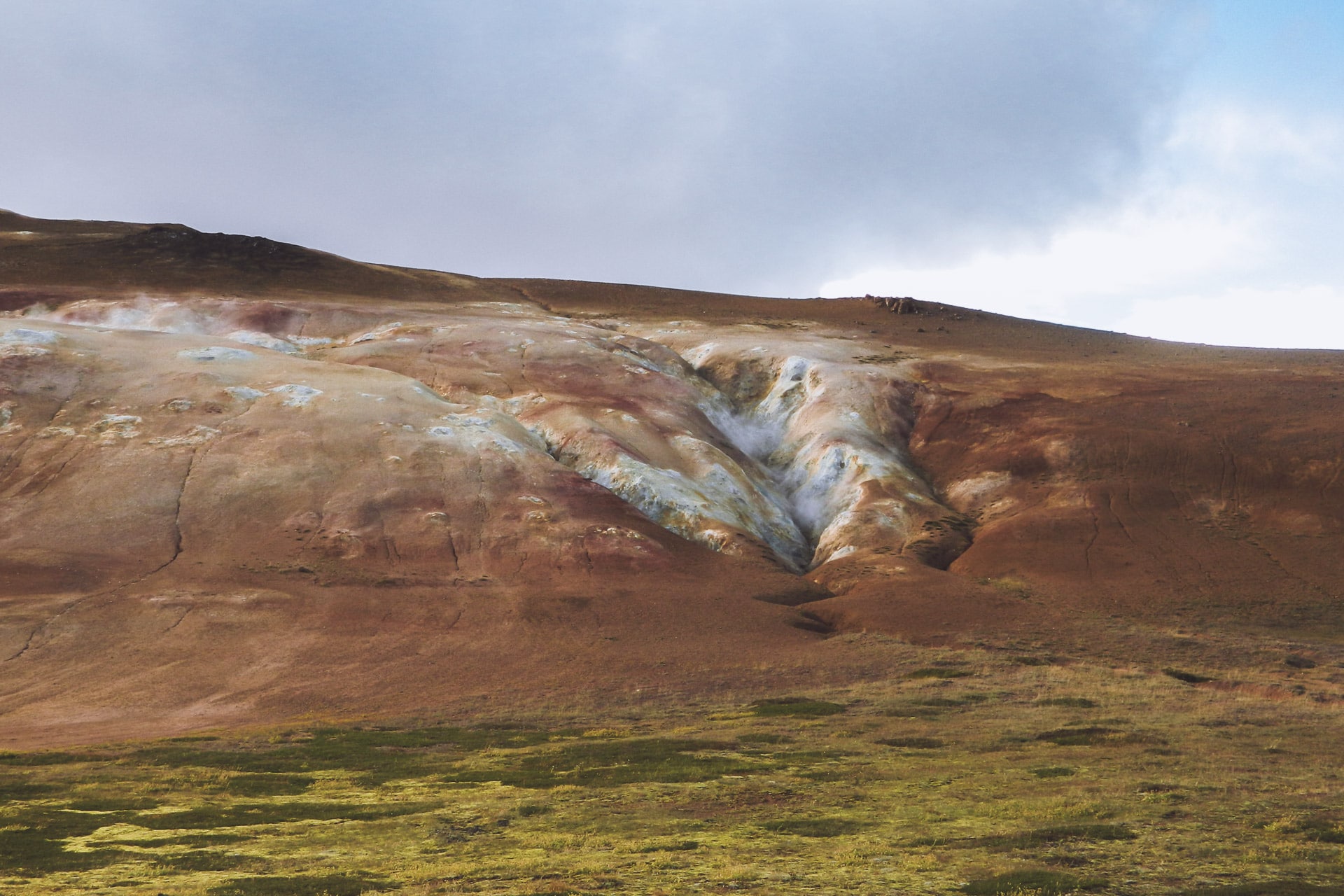
Then back on the road 1. Direction to the east in absolutely wonderful landscapes! You can see dozens of kilometers around. There is nobody, it’s fine, I press a little (too much) on the gas pedal; the sensation of freedom is absolute! I feel very happy and lucky at this time…
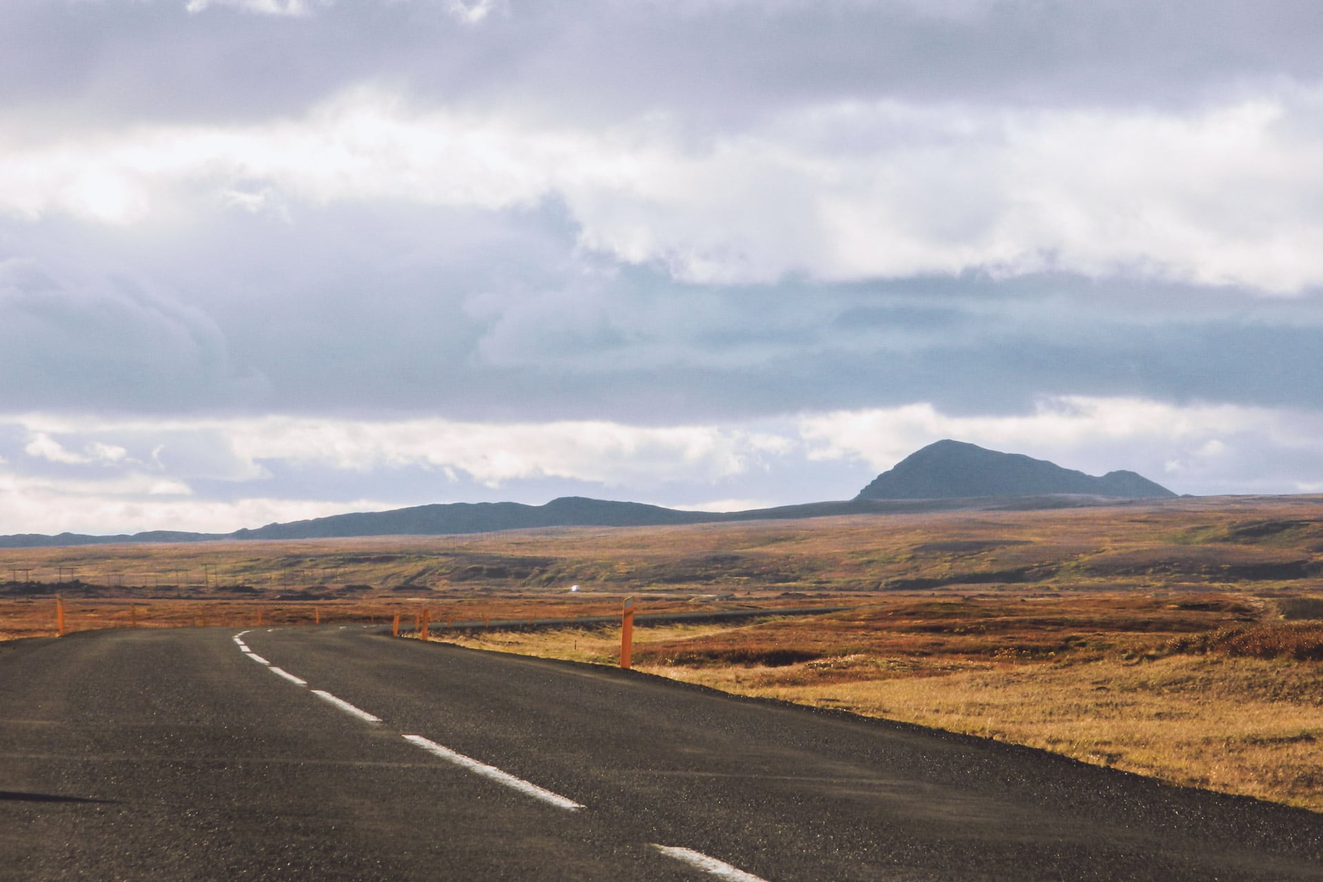
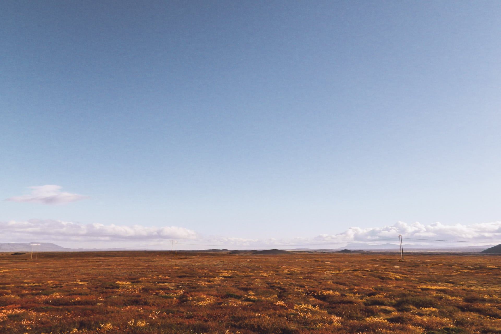
After the swiftly swallowed kilometers, I turn left onto Route 864 which will take me to Detifoss. But for the time being I’m going to find a little place for the night because it is getting late and I do not move fast on this small gravel road.
I will not be far from the road but as usual there is nobody to bother me … In the distance I see the Krafla despite its distance of about 40km. Superb camping place. This certainly has been the best day of the trip. So many beautiful things to see …
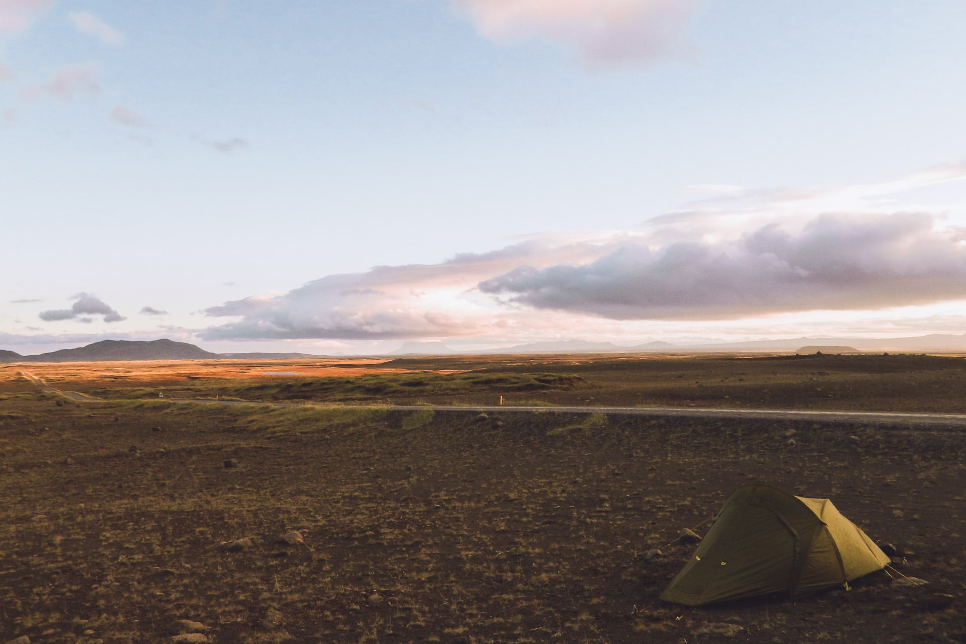
Day 9 : Detifoss, Seydisfjordur and Snaefell
What a silence this night … It gives an impression almost disturbing sometimes because the mind is quick to invent noises …
I am back on the road quickly because it is cool this morning, so I will have breakfast further. I arrived at Detifoss after 40min of road a bit difficult because very rippled and therefore uncomfortable.
I go down to the waterfall, it’s stunning! Detifoss is the waterfall of Europe which has the biggest flow with 200 000 liters per second for a fall of 44m … It is the most impressive waterfall that I have been given to see. What is good in Iceland is that there is little barrier, so here we can advance until we have feet in the water at the edge of the fall … impressive …
The intro scene of the movie Prometheus was shot at Detifoss.
I then walk up the Jökulsá river to Fjöllum towards the Selfoss waterfall upstream. Also impressive by its width.
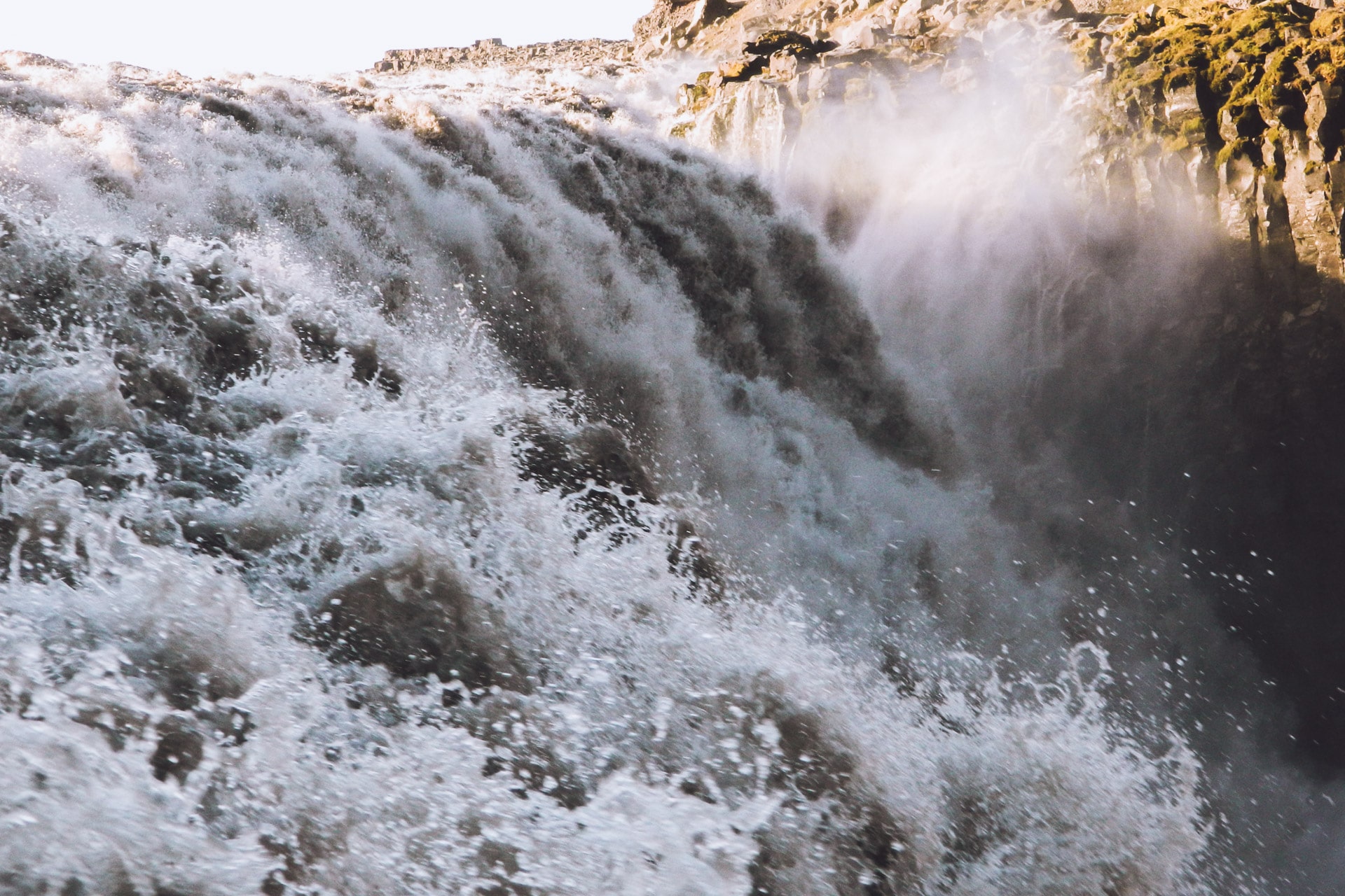
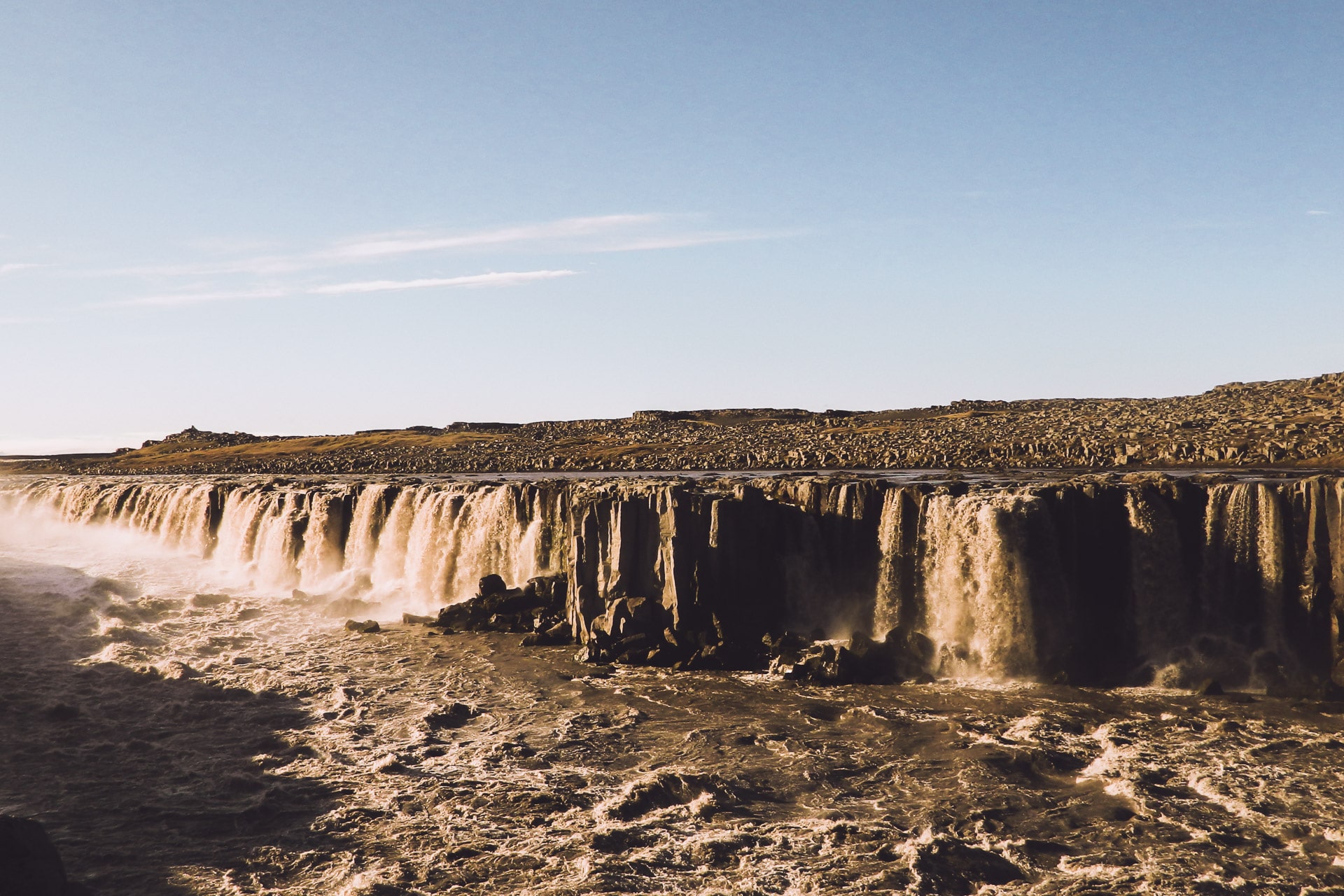
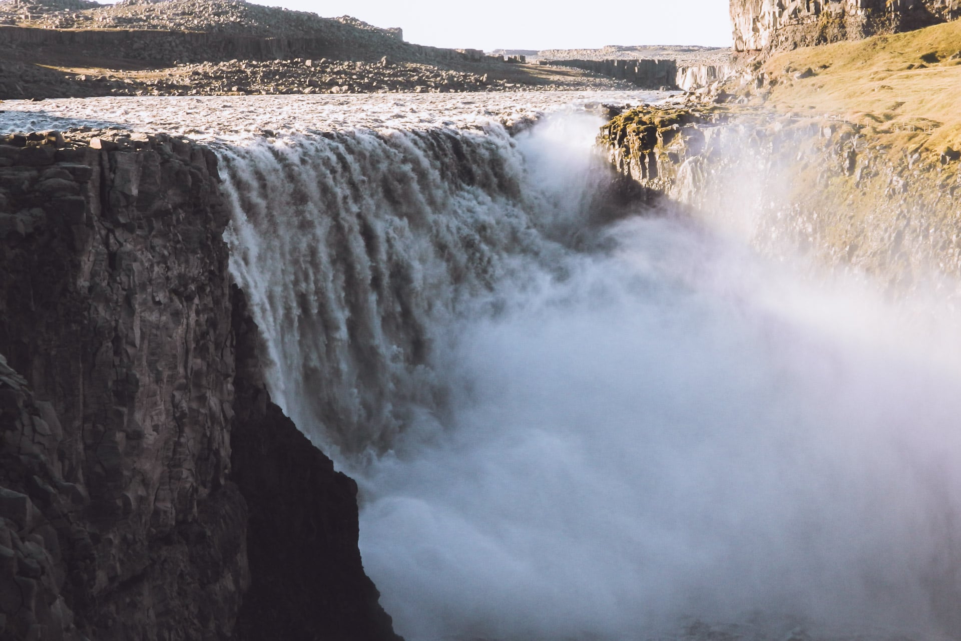
After returning to Detifoss, I enjoy a bit the show and do a geocache in the area, I then go back to the parking lot to have a coffee and breakfast.
Then back to road 1. The sun is shining, the sky is blue and the road still wavy. The ground is black ash, which gives a moon face to the landscape. In the distance a cloud draws my eyes, looking carefully it is the plume of smoke of the eruption of Bárðarbunga which was going on when I was there. Despite the distance one can see it.
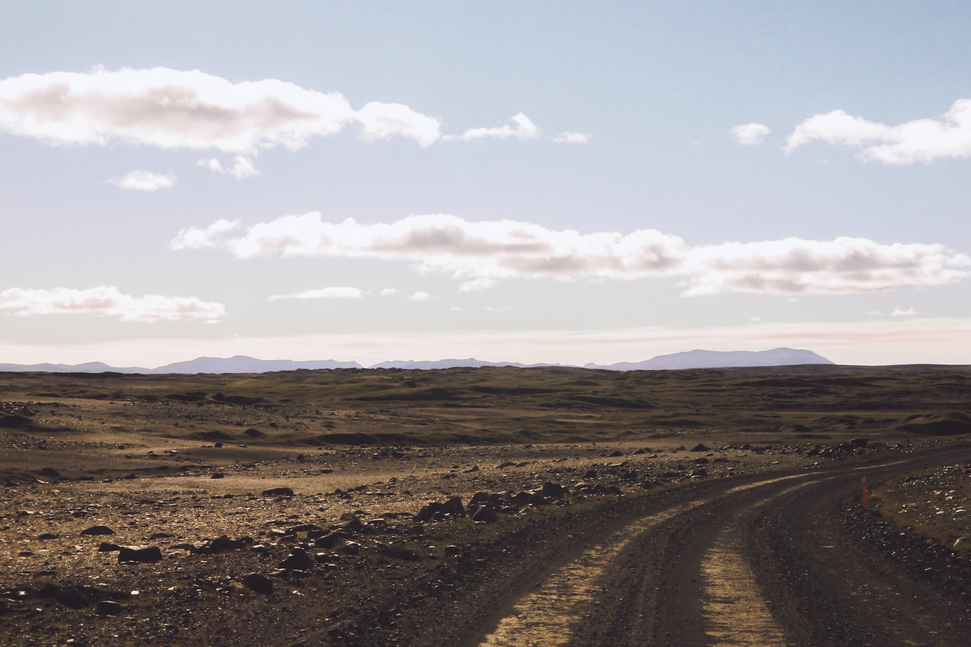
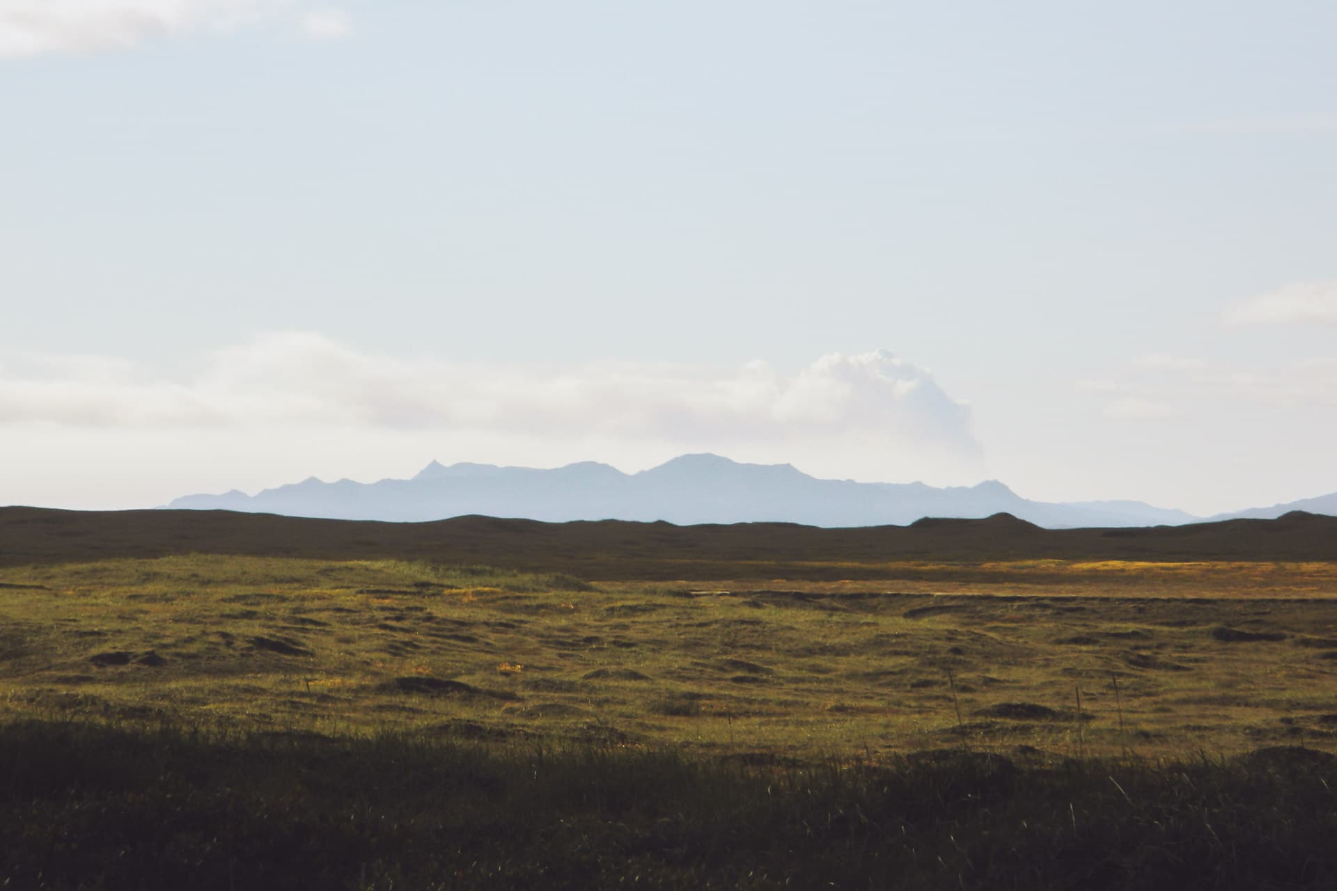
I run full east then. The landscapes, still amazing, pass too quickly. I arrive at Egilsstaðir but the city is very disappointing and I only stop for shopping and gas.
I then go on road 93 which leads me to Seydisfjordur. The descent is particularly interesting and fun by car. The small village is nestled at the bottom of a fjord, it’s nice. I stop at the little hostel / restaurant for a drink in the sun.
A scene from the movie Walter Mitty was shot at this hotel (when there is the eruption after the longboard descent)
Half turn then and I resume direction of the 1 but not for very long because I obliged towards the 931 in the idea to climb on the plateau of Snaefell. The view is beautiful on the height coming from Egilsstaðir but we see a kind of grayish fog that is due to the eruption of the Bárðarbunga.
The climb on the plateau, by road 910, is impressive. Above, total change of atmosphere: we find ourselves in a kind of tundra as far as the eye can see. In the distance the Snaefell, highest point of Iceland with 1833m, and the Vatnajökull also.
The Vatnajökull is a gigantic glacier that covers 8% of Iceland, almost the surface of Corsica in comparison. It can reach 1000m thick, it contains several volcanoes within it, including some in activity.
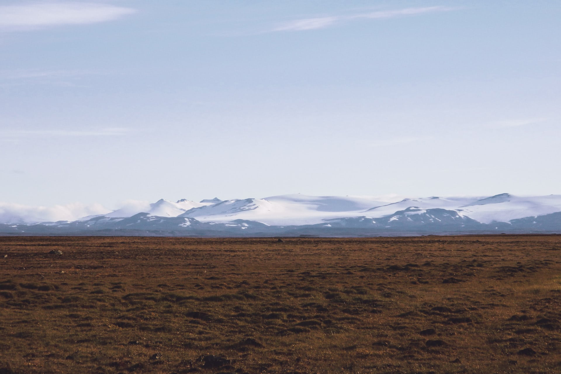
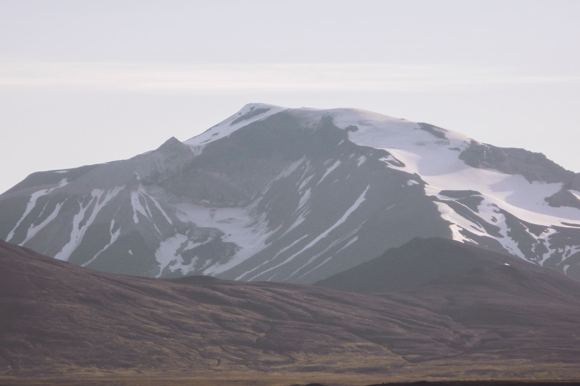
For the evening I find myself a beautiful place with a great view to set the tent. The glacier, not far away, is cooling the air and there is a lot of wind. There are normally a lot of reindeers in this area but I have not seen them yet … maybe tomorrow. In the night, I go out to see if there is no aurora (as almost every night), no aurora but in the distance I see clouds all red, despite the night, due to the direction of them, I think it was the reflection of the light emitted by the lava of the eruption of the volcano on the clouds. The impression was singular.
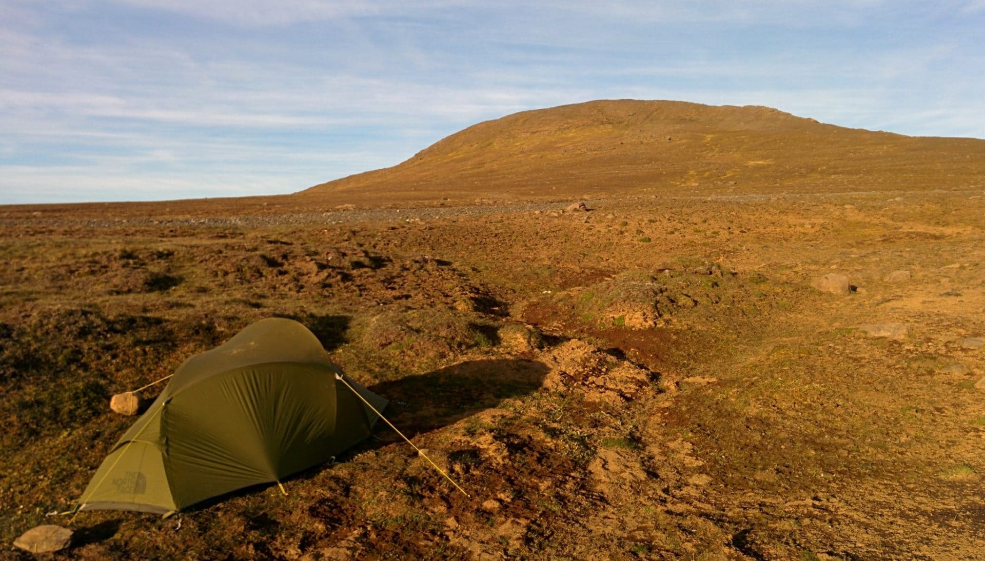
Day 10 : South East
Cold night! But it was Ok. Light program of today.
So I take my time in the morning, first I go to see the hydroelectric dam not far from where I camped. Half turn then, on the way I do not drive fast to try to see reindeers but they are not here….
At the descent I witness a nice phenomenon : there is so much wind that a waterfall usually hung on the wall climbs towards the sky … not trivial ….
I then drive south. Rather than following only Route 1, I take the 939 which passes through the mountain and is much nicer.
The descent towards the coast is beautiful. The weather is nice even if it’s a bit cloudy on the shore, so it creates very nice light effects.
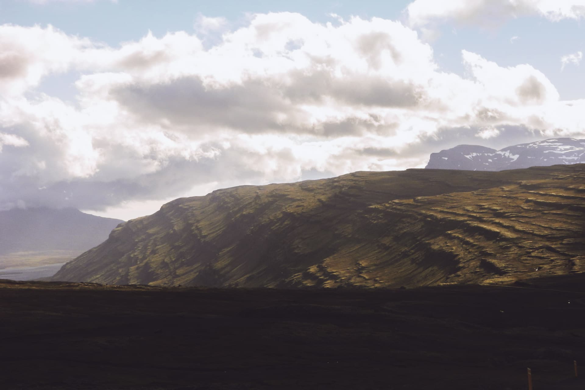
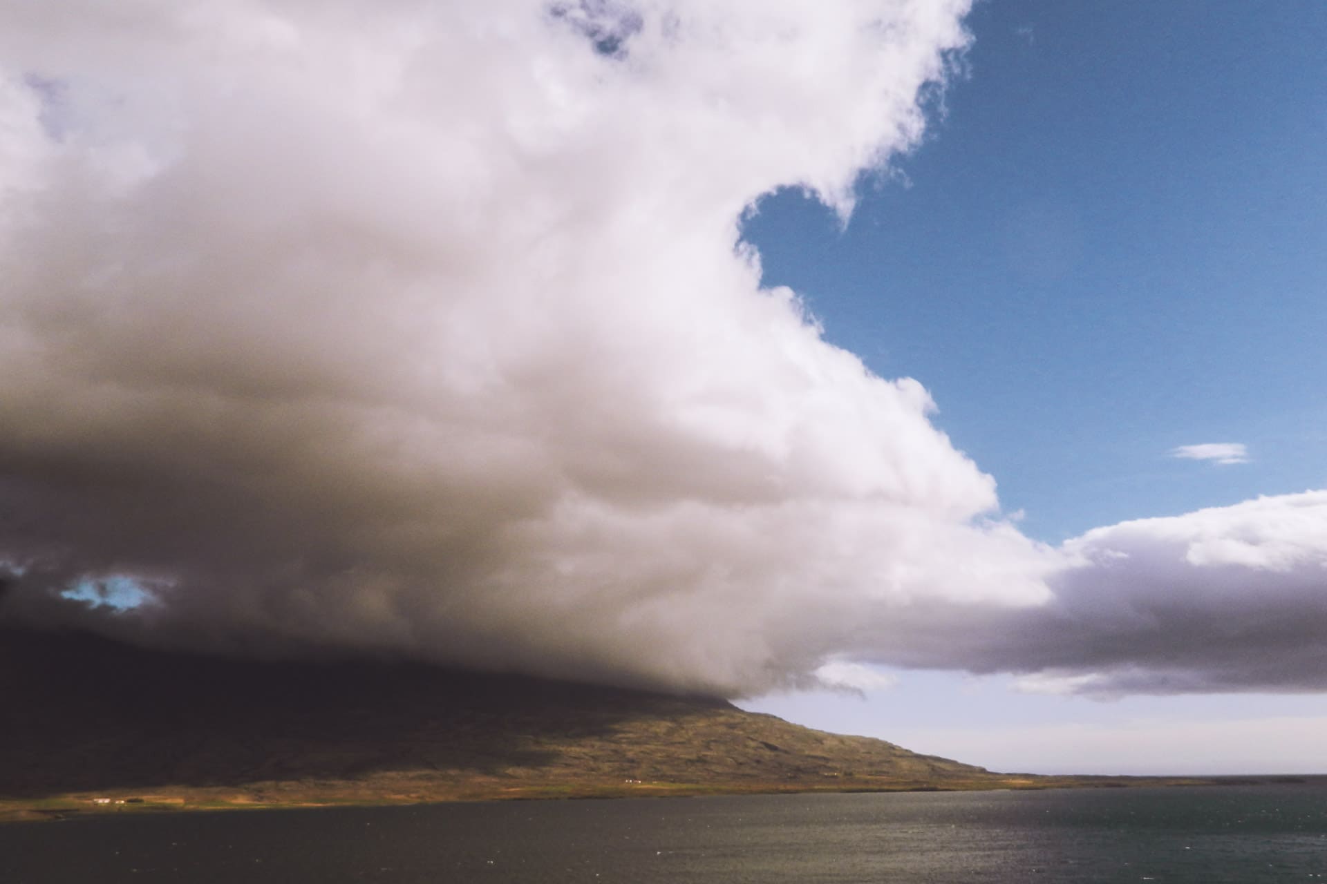
After a meal break in the village of Djupivogur, I continue on route 1 towards Hofn. I pass quickly without taking too much time.
Time flies and it is already time to find a place to sleep (I mainly drove today). Task arduous tonight because few places seem nice enough.
After a long search I headed for the Flaajokull. The glacier is a part of the Vatnajokull. Unfortunately, the glacier recedes due to its melting …
In the evening after having booked I take a look outside and there Ô miracle an AURORA !! It is quite covered and the aurora is not very strong but that is beautiful! I try the picture below but the rendering is not crazy … it will have been a beautiful gift anyway.
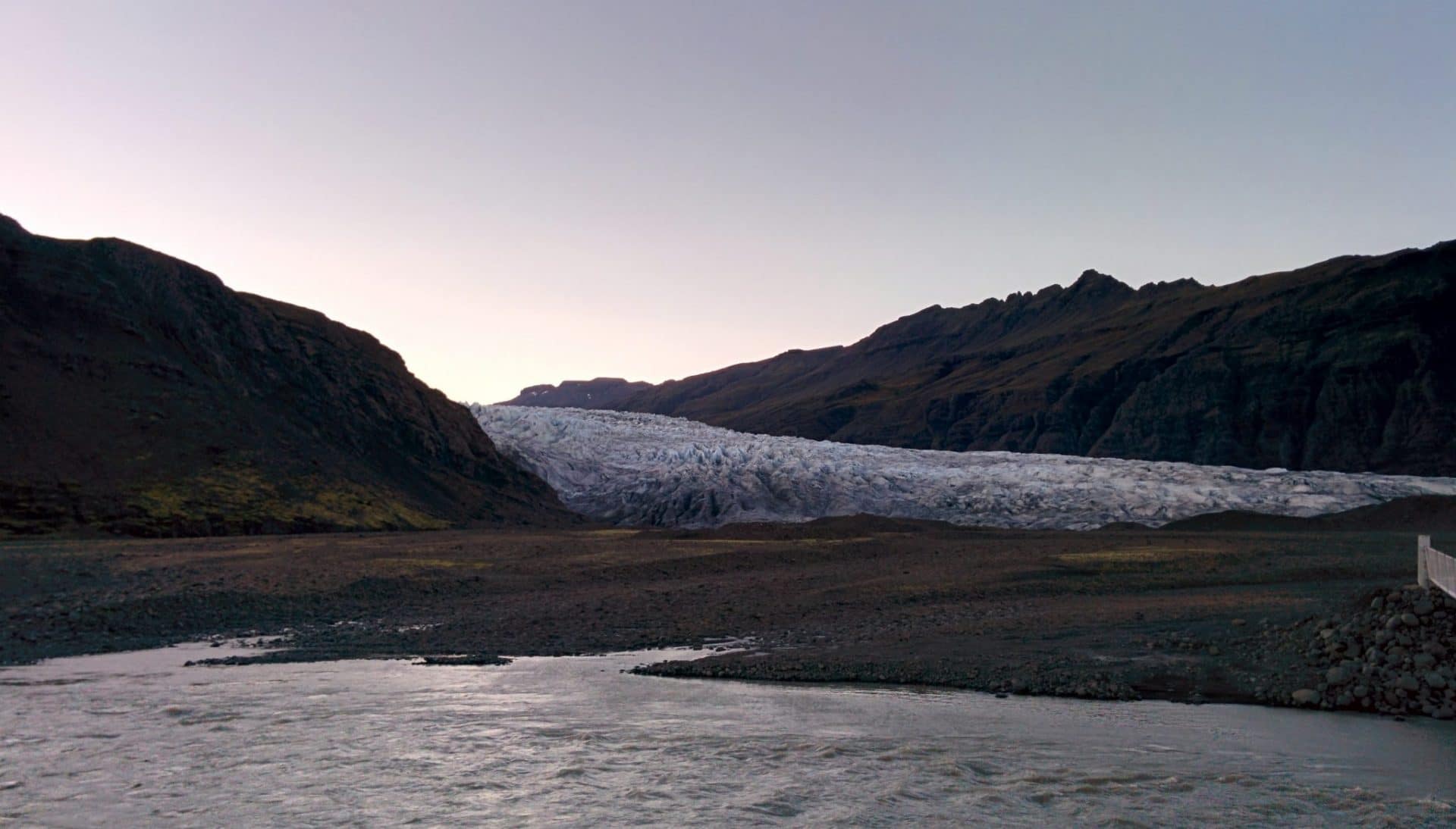
Day 11 : Jokulsarlon, Skatafell and Sandar
Today’s busy day will begin with the well-known Jokulsarlon.
On the road that leads me to Route 1, I have the wonderful surprise of falling on a herd of reindeer. There must be about twenty animals and a superb male with impressive antlers. I enjoy a little while watching them grazing.
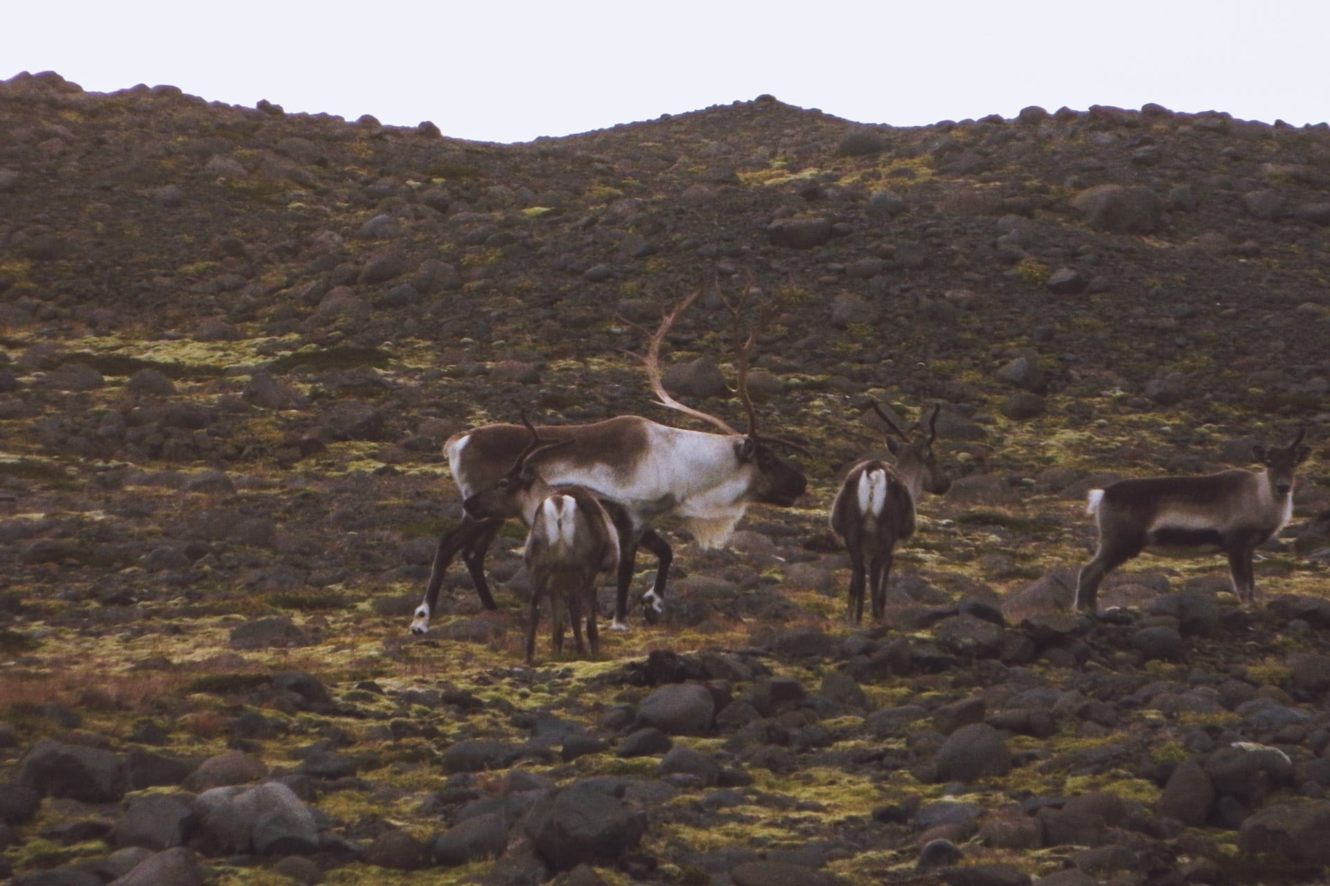
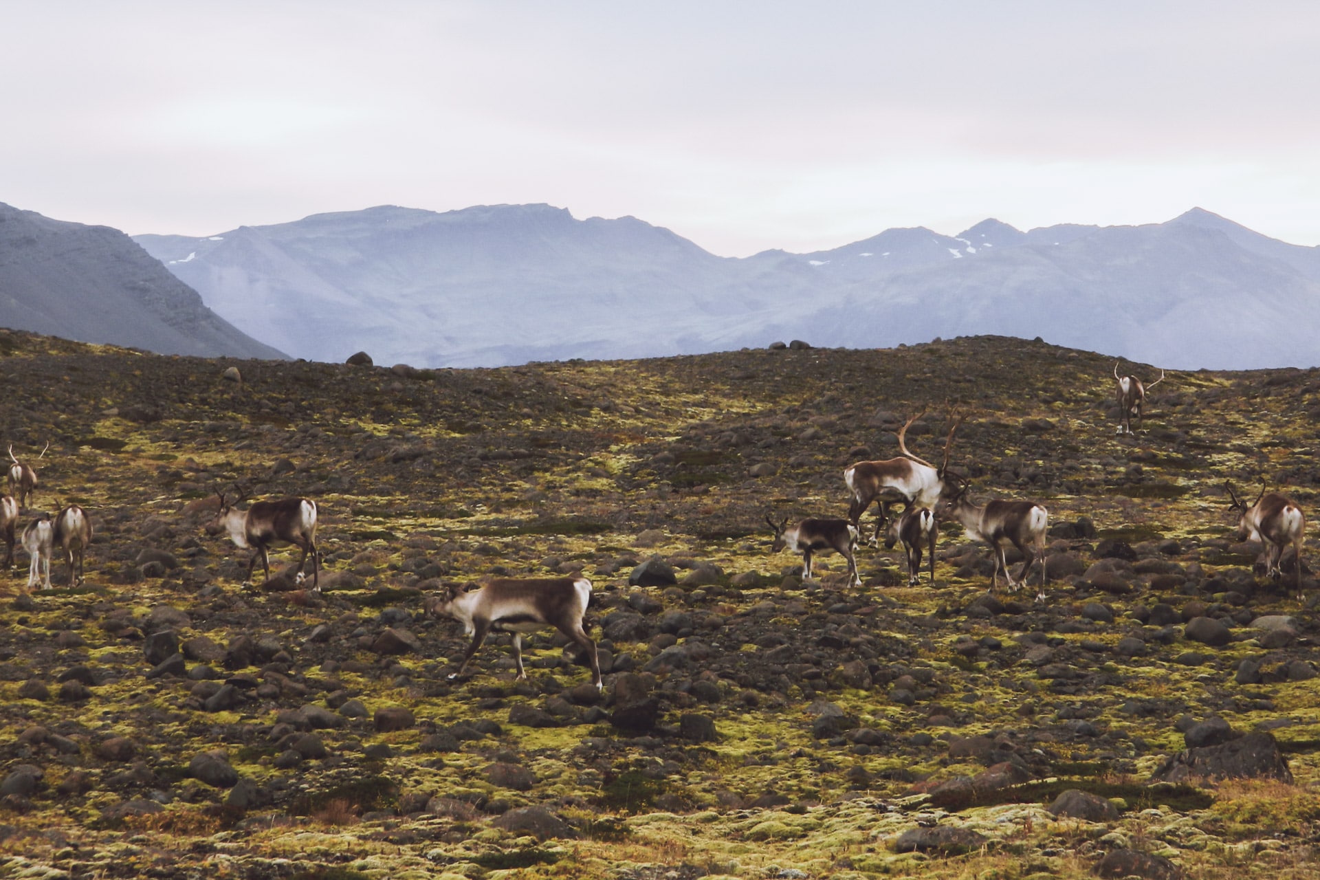
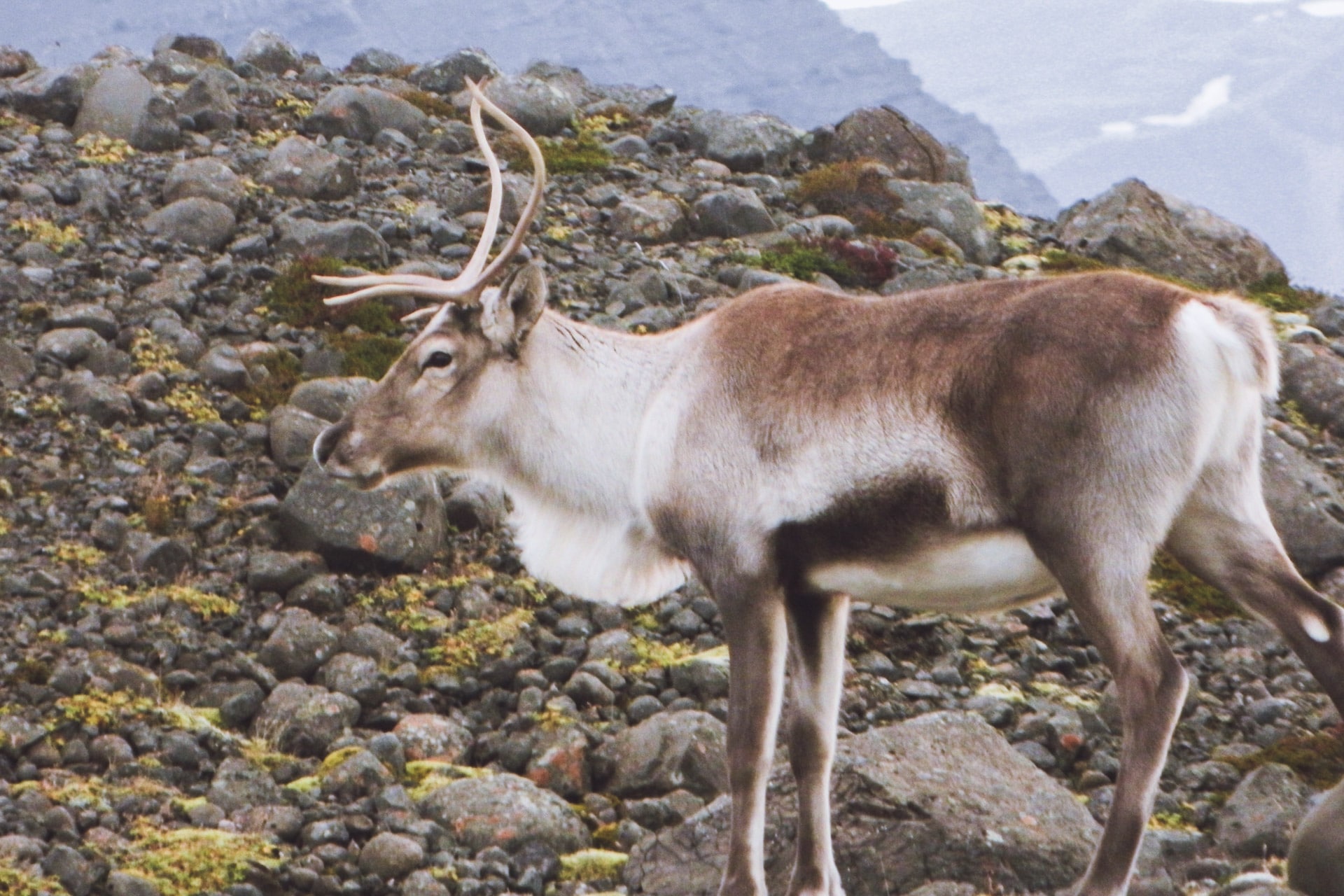
The road to Jokulsarlon is short. I arrive on site where there are already a few people.
The place is beautiful, the huge glacier flows into a large lake where it melts and then flows into the sea. As the glacier breaks as it arrives in the lake it is filled with blue and gray icebergs. It is very beautiful. To top it all, seals live here and let themselves be approached. On the black sand beach, the icebergs run aground, giving striking contrasts.
This place has been filming many films including Lara Croft and James Bond Tomorrow Never dies.
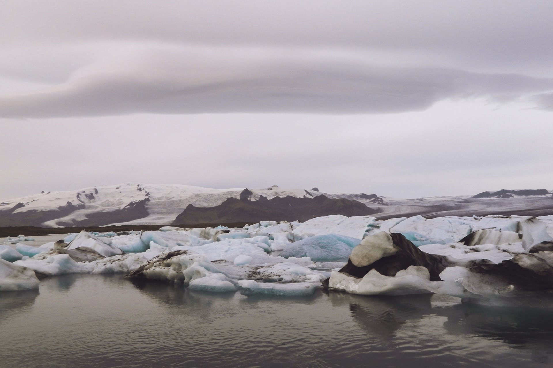
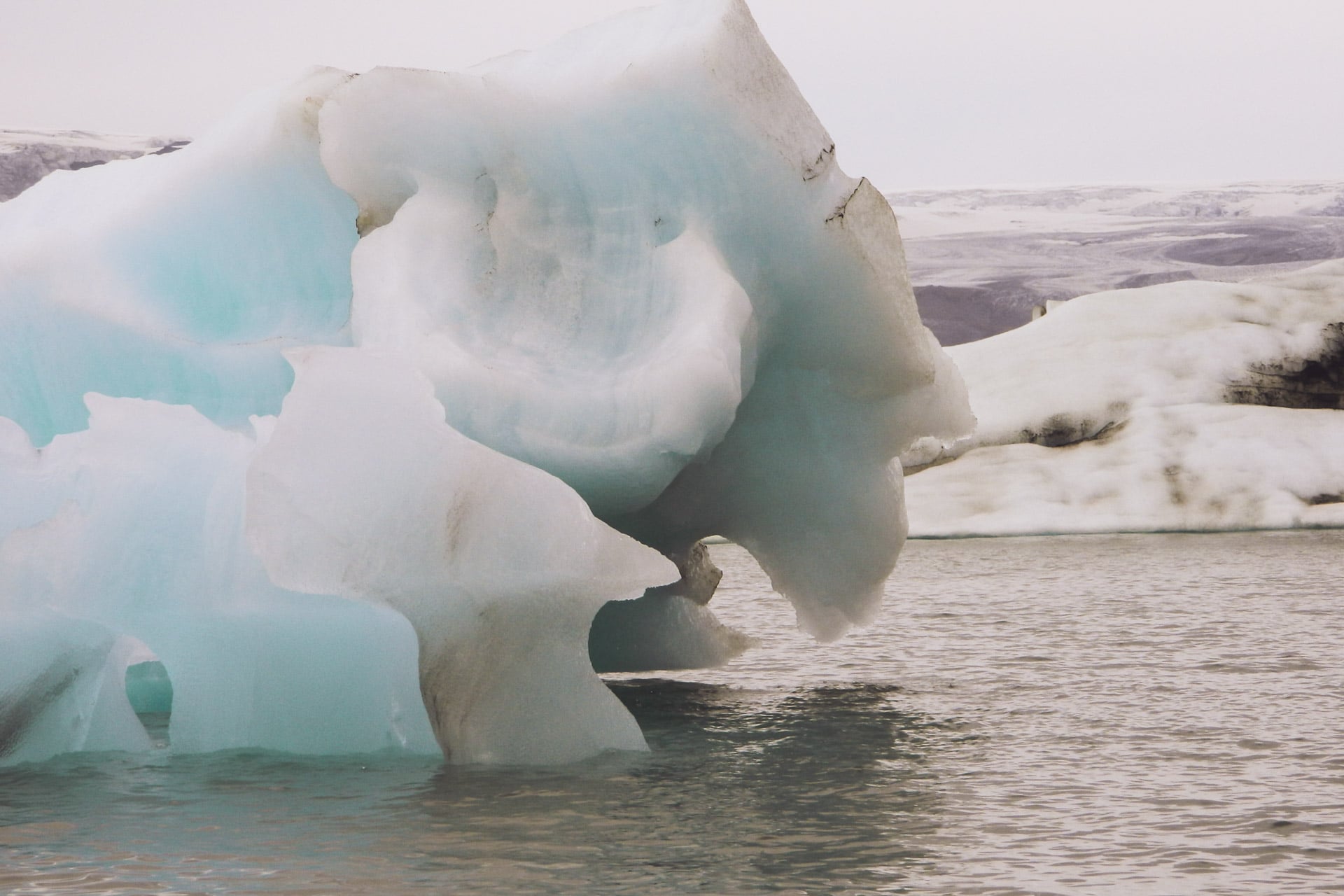
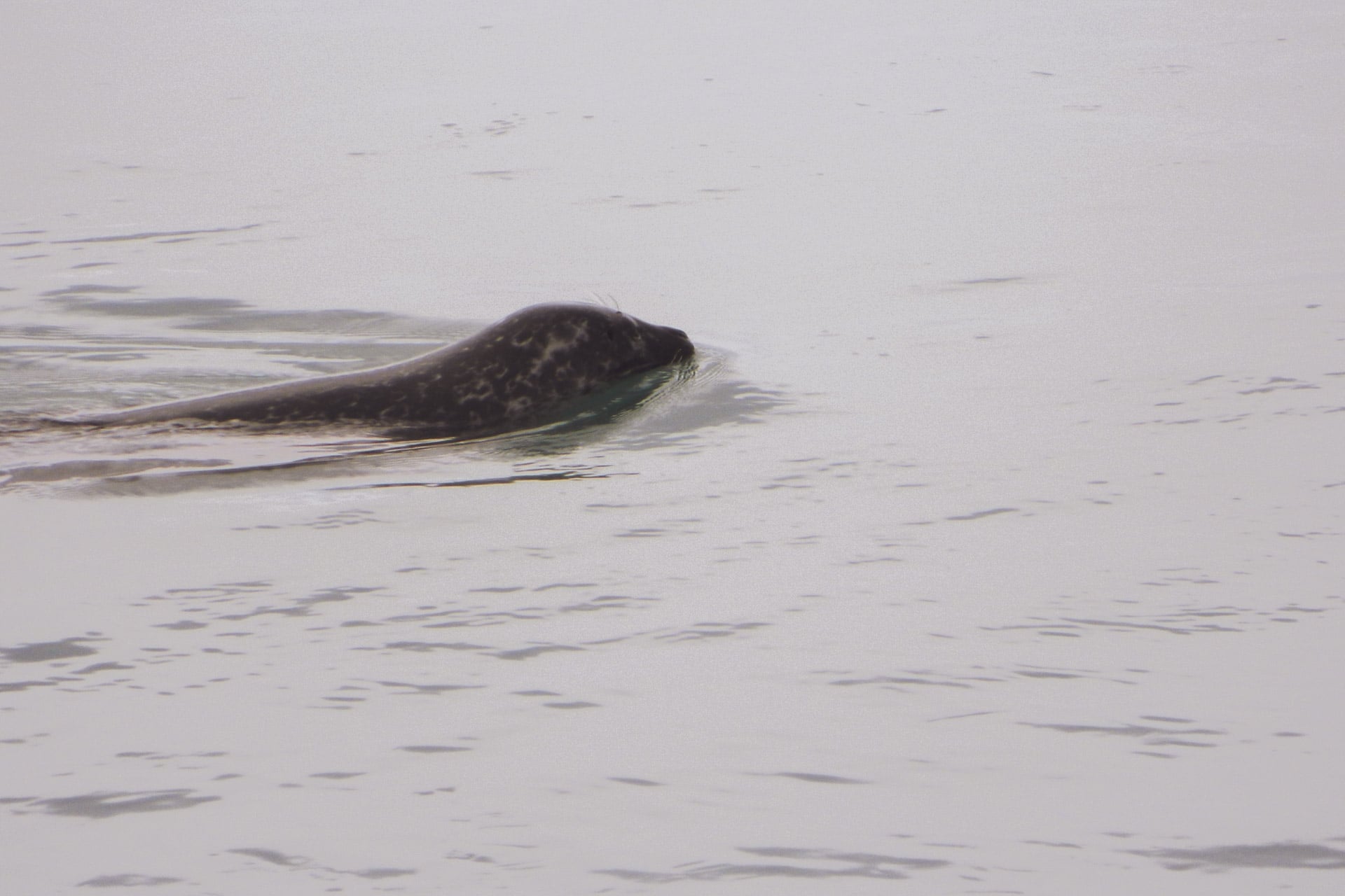
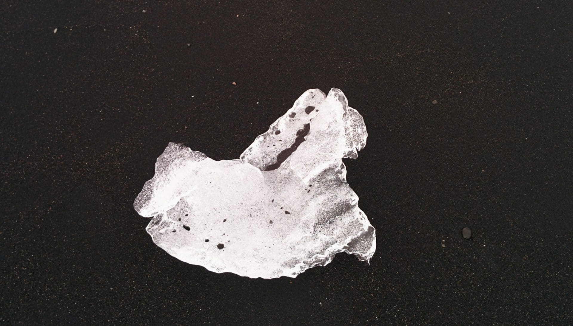
After Jokulsarlon, I take the road again and stop at a glacier to make a geocache.
A scene of Batman begins was filmed near this glacier.
I then continue to another hidden geocache next to a beautiful church with a roof of vegetal.
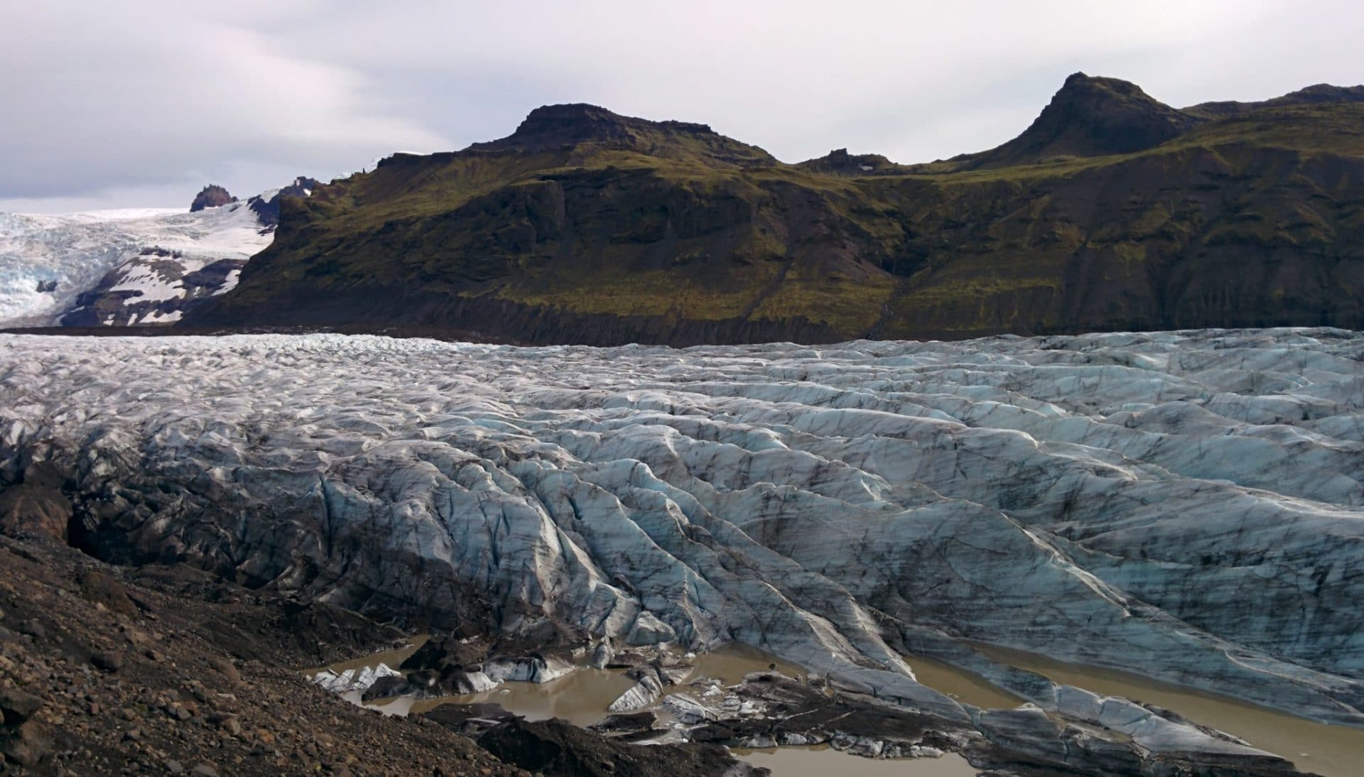
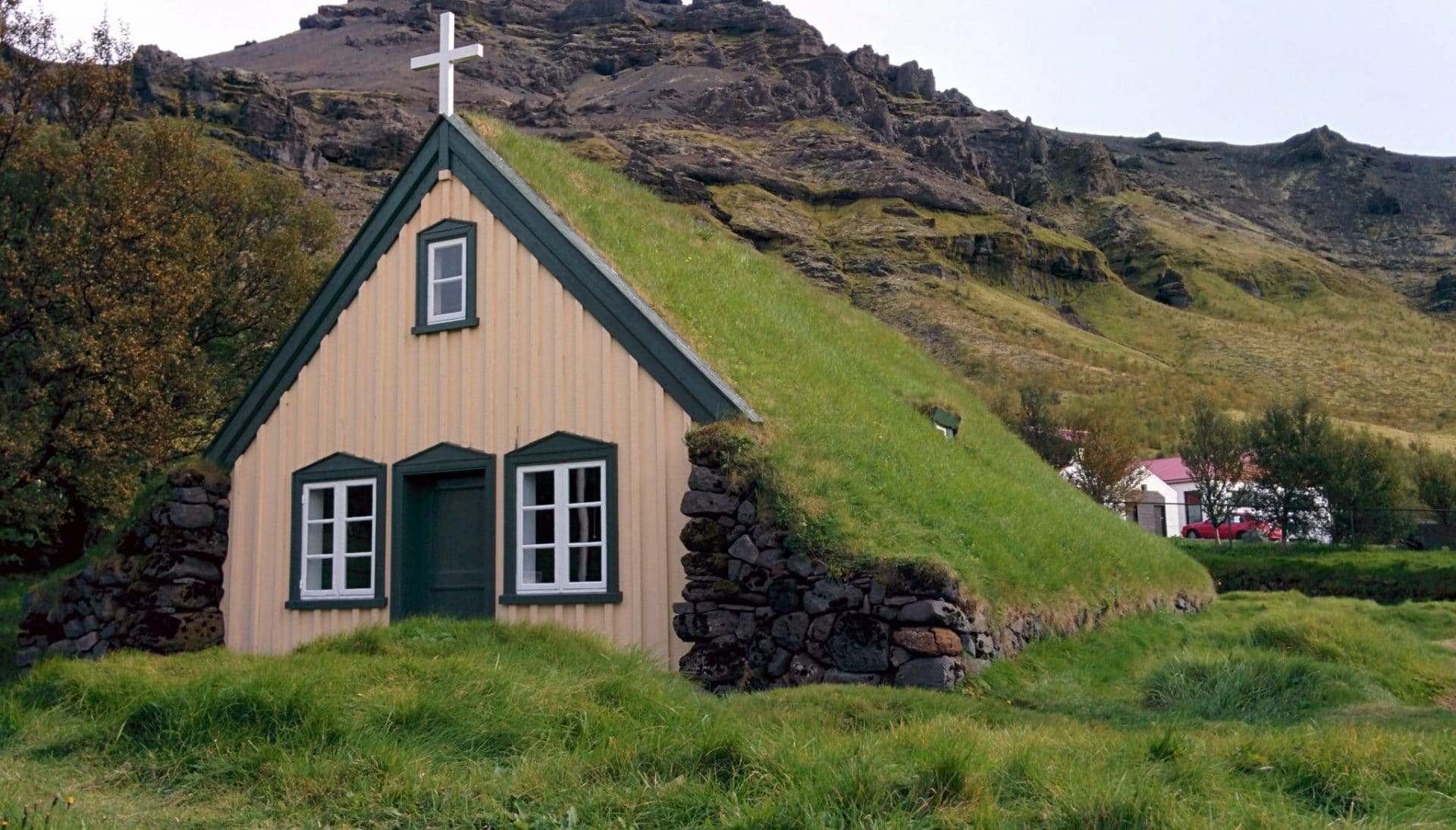
Direction Skaftafell. Skaftafell is a national park offering plenty of hike possibilities and activity. With hindsight I should have spent a whole day there instead of few hours.
I decide to carry out the small hike that leads to the Svartifoss waterfall. There are trees, which is relatively rare in Iceland. The path is nice and easy. The superb cascade: it is a horseshoe cliff made up of basaltic organs. It is very beautiful.
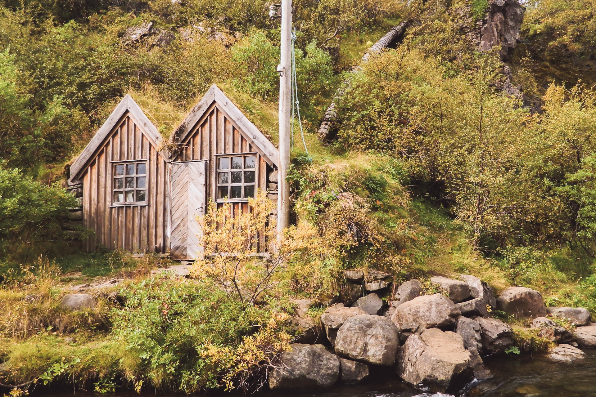
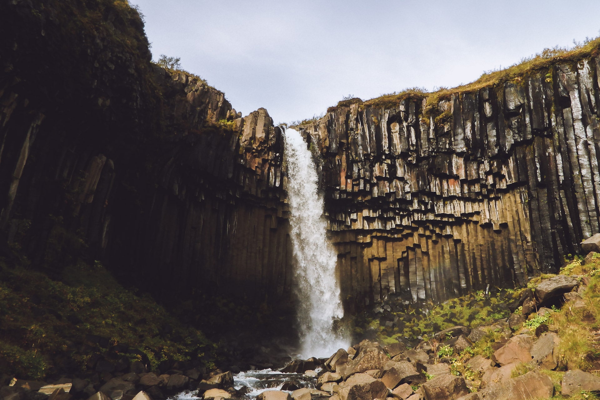
I should have stayed a bit longer in the Skaftafell but I continued my route to the Sandar.
The Sandar, those are huge expanses of black sand that are created during eruptions. The volcanoes melt the ice, especially the Vatnajokull, creating enormous mudslides loaded with rocks and devastating everything in its path.
So the Sandar is a little depressing … Black sand as far as the eye can see and under the gray sky it does not make things more cheerful …
For the night I head towards Fjaðargljufur. It is a 2km canyon, the walls are vertical with the river at the bottom. The greens are impressive, with the black sandur at the bottom it’s beautiful.
The view for the night is good, more than a few days in Iceland, I have to profit.
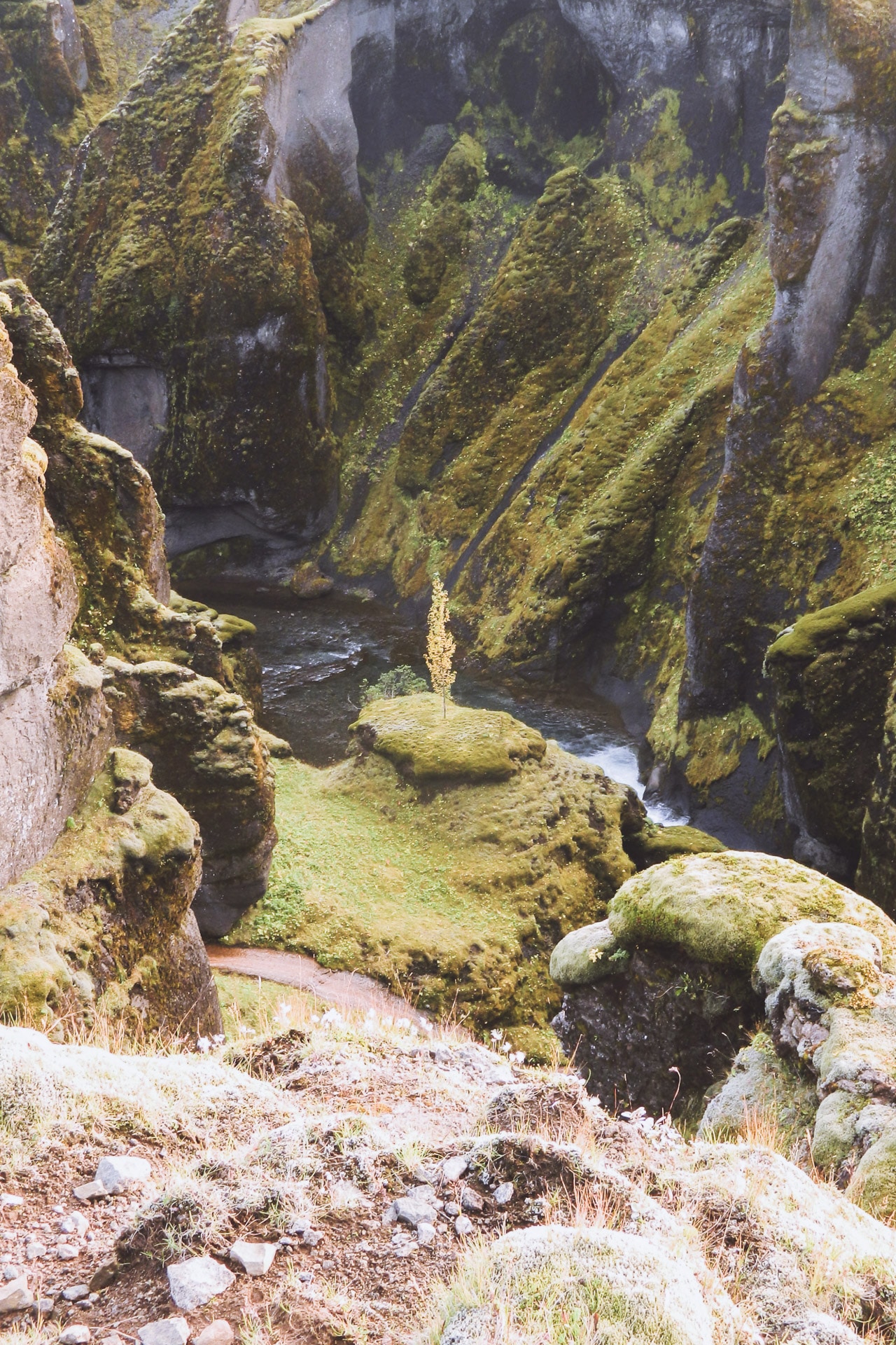
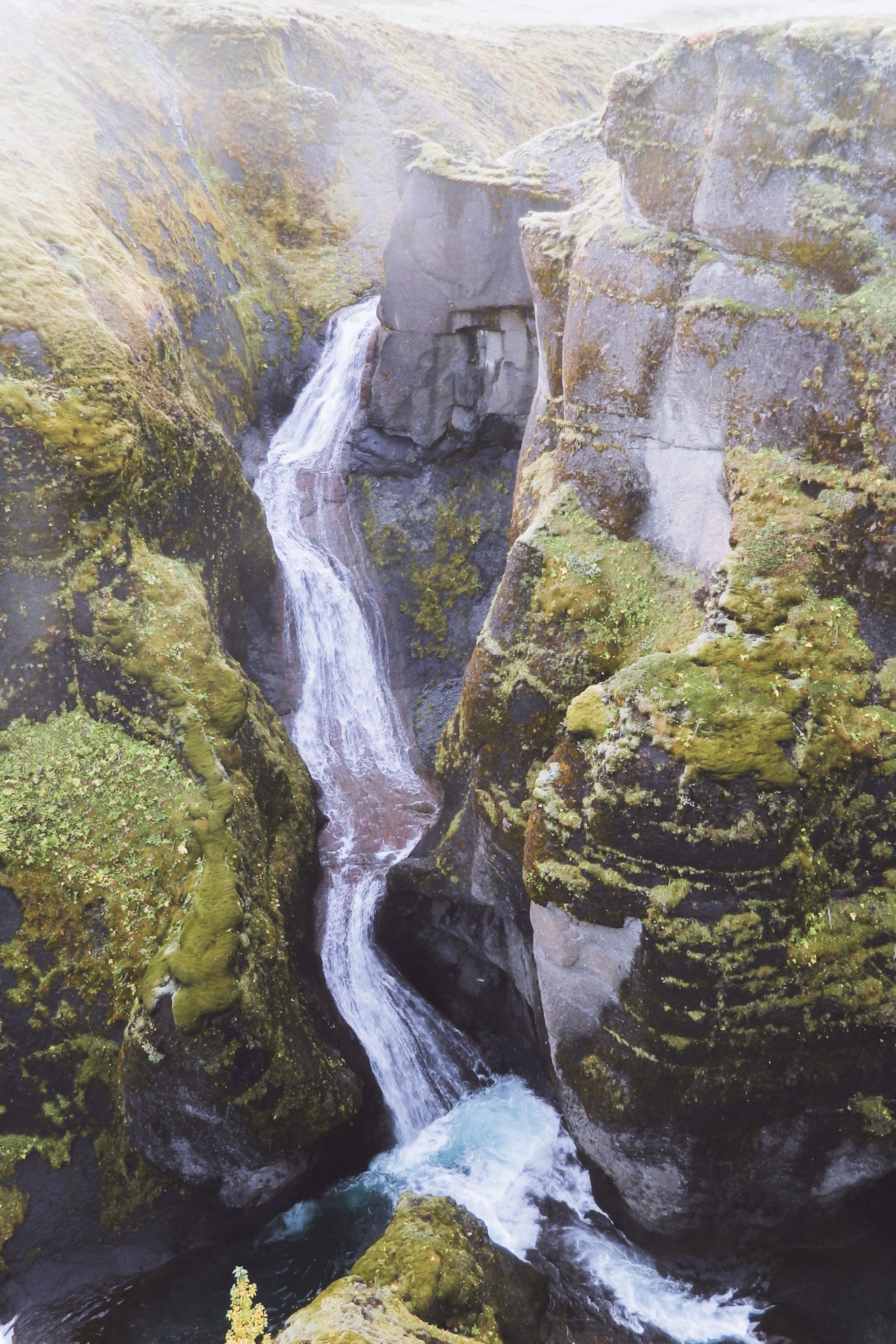
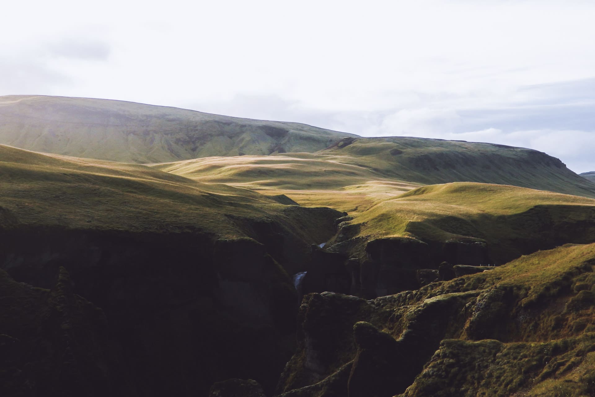
Day 12 : Hjorleifjskofði, DC-3 et waterfalls
A long day ahead. It begins with the visit of the Hjorleifskofði. This place was advised by a friend, Julien, who went there in February. This place is historical and is one of the first places of settlement of Iceland and a Viking tomb is at the top. The place is a little magical, it looks like a lost island in the middle of a sea of black sand. In the past it was an island but the level of the sea fell thus linking the “hill” to Iceland.
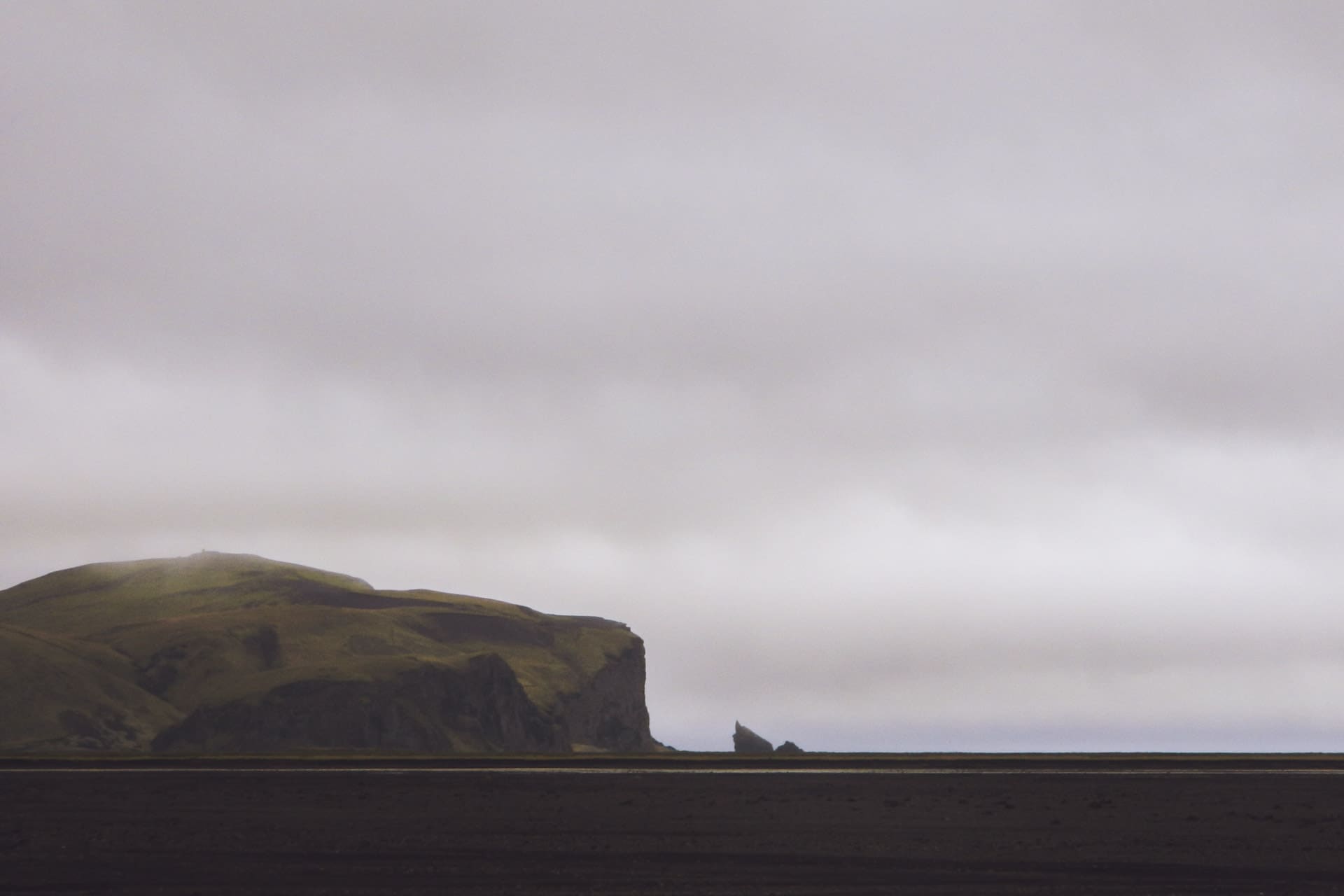
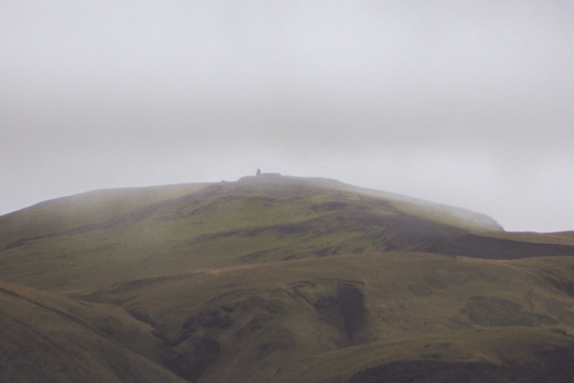
The ascent of the 220m of the hill, alone, in the rain has something mystical. No one comes here because it is not known. Up the view from the tomb is sublime especially in bad weather, I think. A little further down are the ruins of Arnarson’s farm. I also find the trace of the passage of my buddy on the logbook of the geocache of the summit. I’m glad I came here.
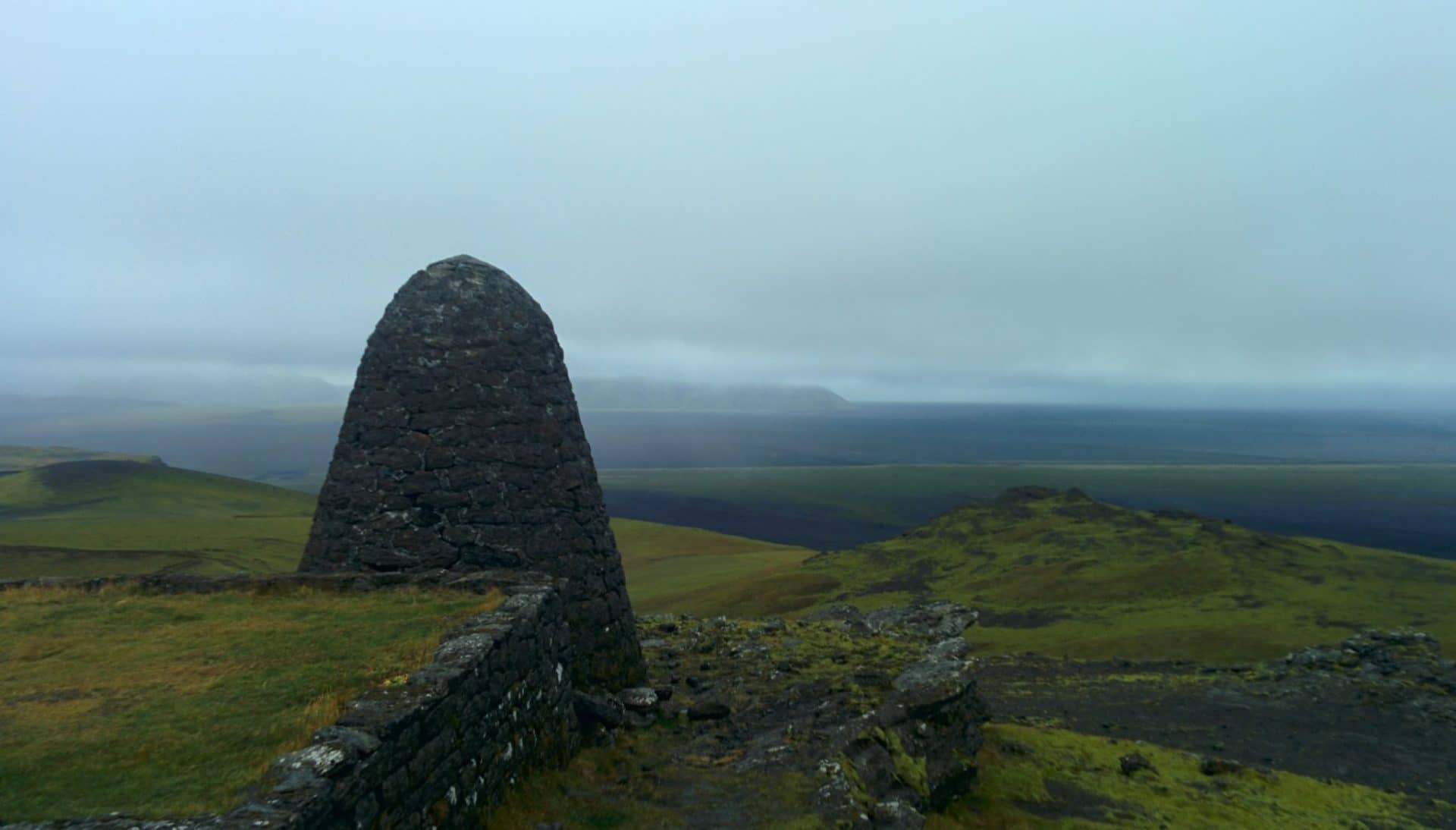
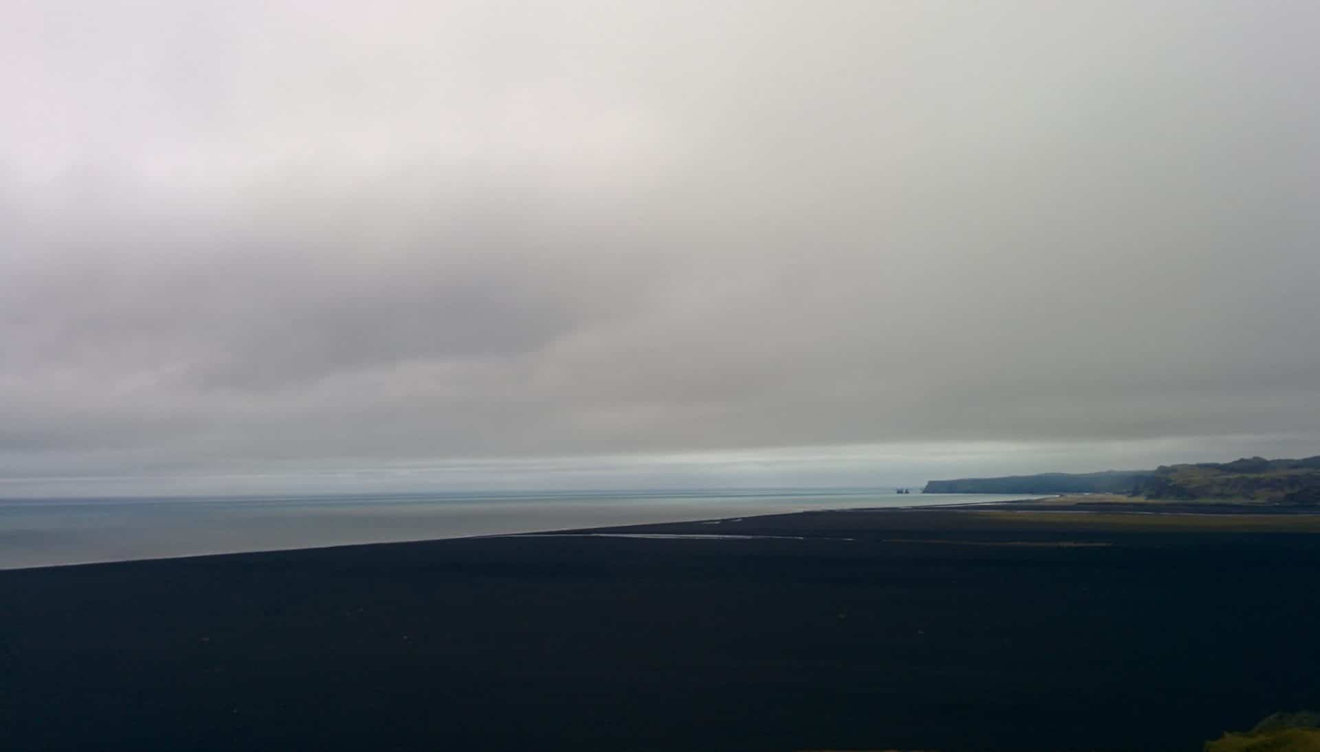
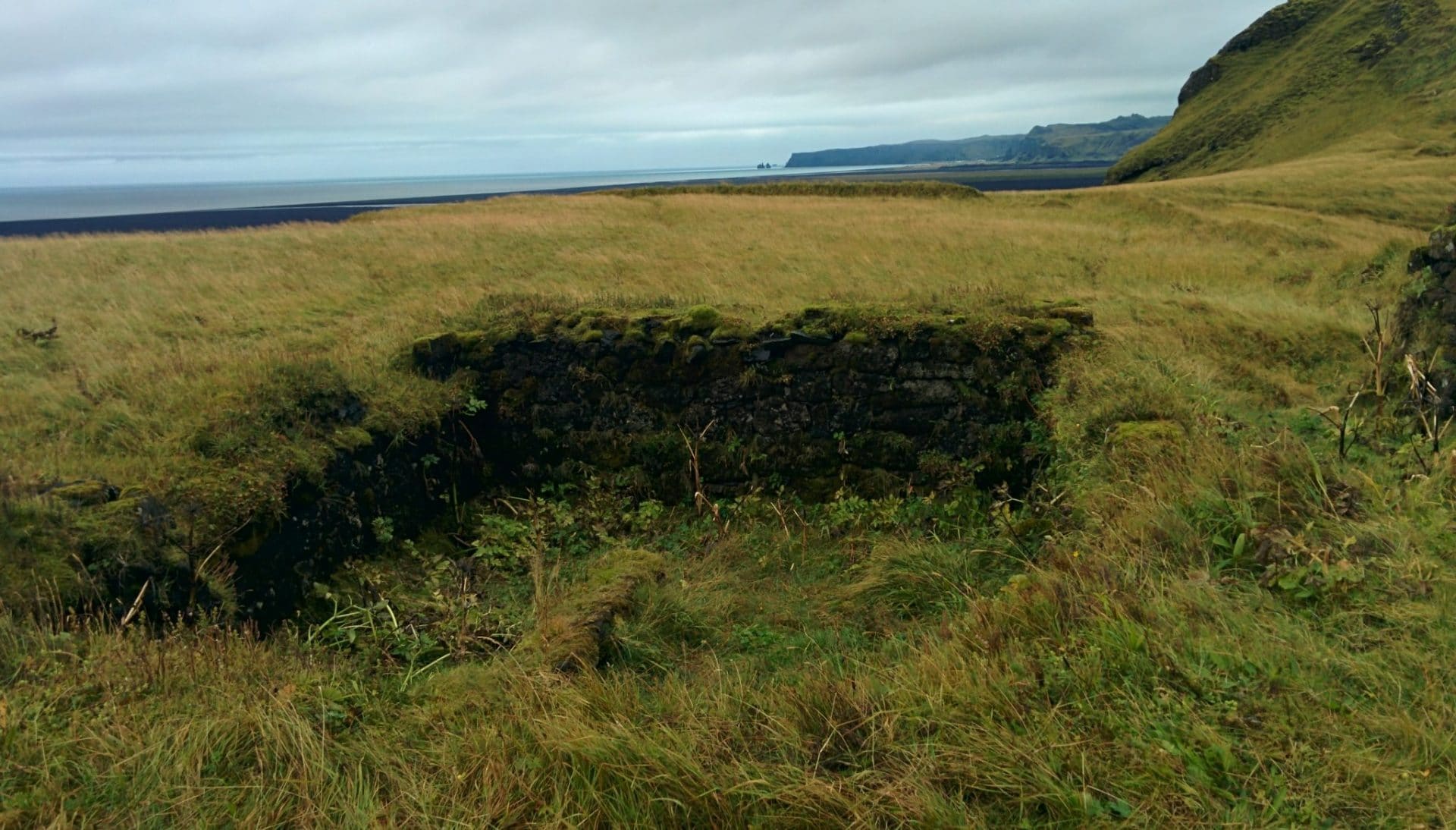
My next step is the wreckage of an old DC-3 who crashed here after the war. To get there you have to find the beginning of the road that I will walk because the car would not pass I think.
Rendering on the spot I attack the ride of 3,5km. I go well, in the immensity of the Sandur, and in the distance I begin to see the plane.
Except that … except that the more I get closer I think there is a problem: a good big river with a large flow cuts me the way for the plane … I decide to go lower down in order to ” Try to see if there is a passage. But no, no passage. Rather than taking risks to cross I turn back. Looking closer I realize my mistake and I resume the car to push 400m further and finally take the good entry for the plane … I attack the 4km again. The plane is approaching again but for good this time.
It’s a bit surreal to see it like that. It does not remain all the pieces but the plane is in good condition.
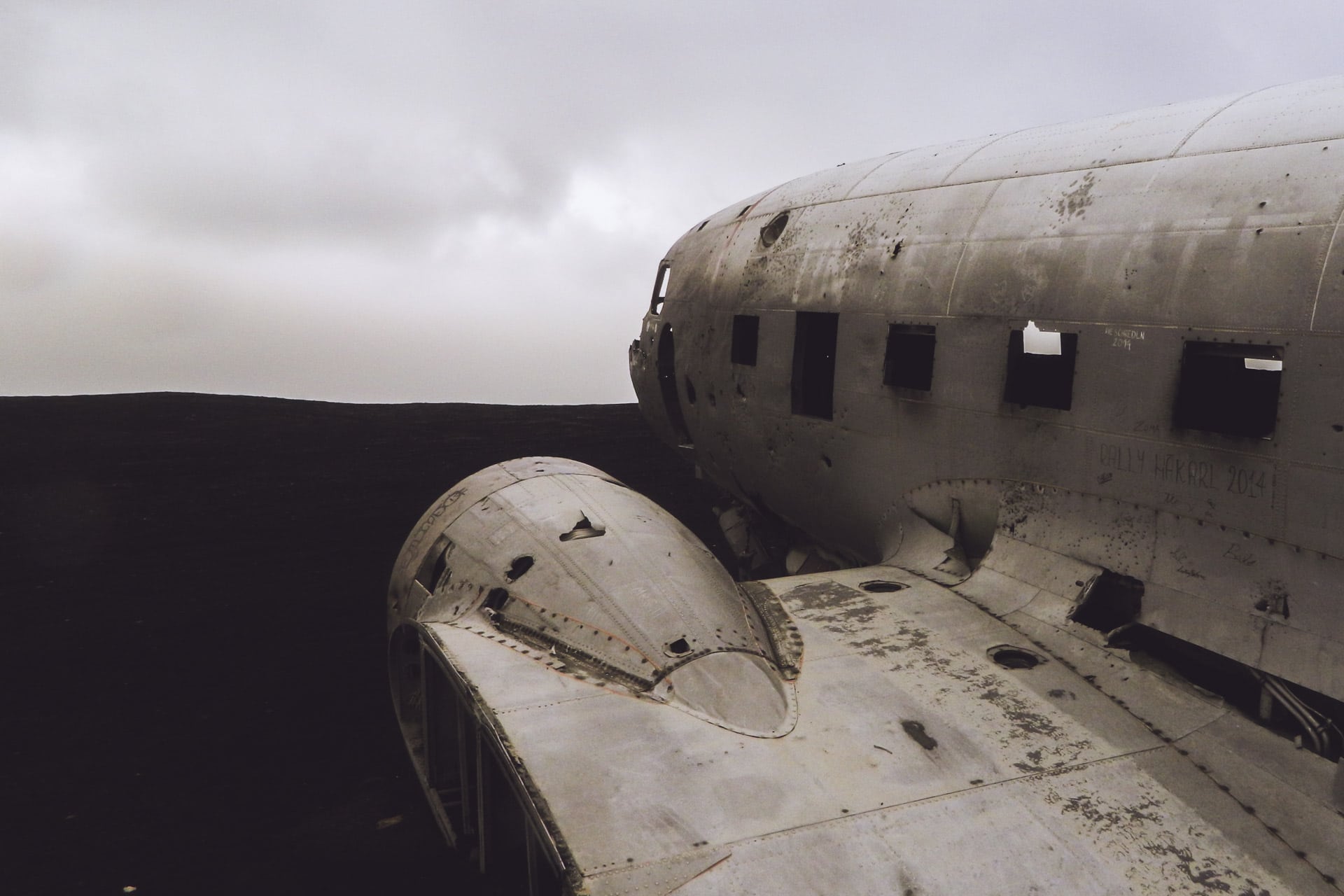
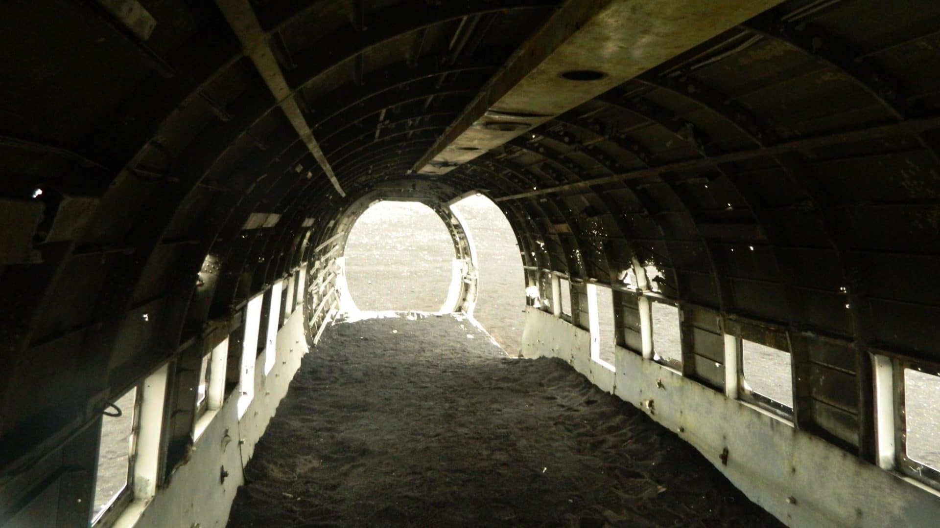
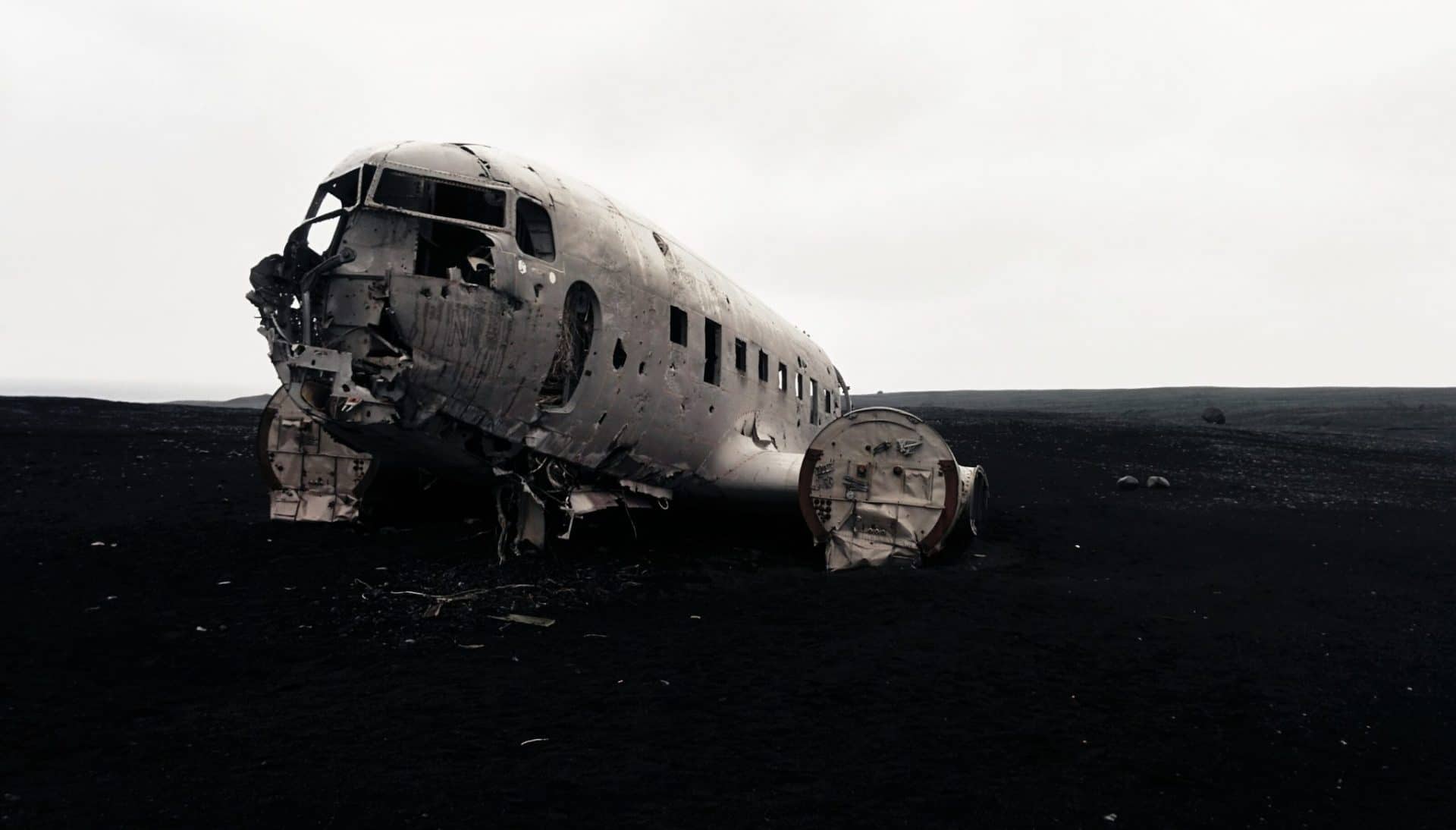
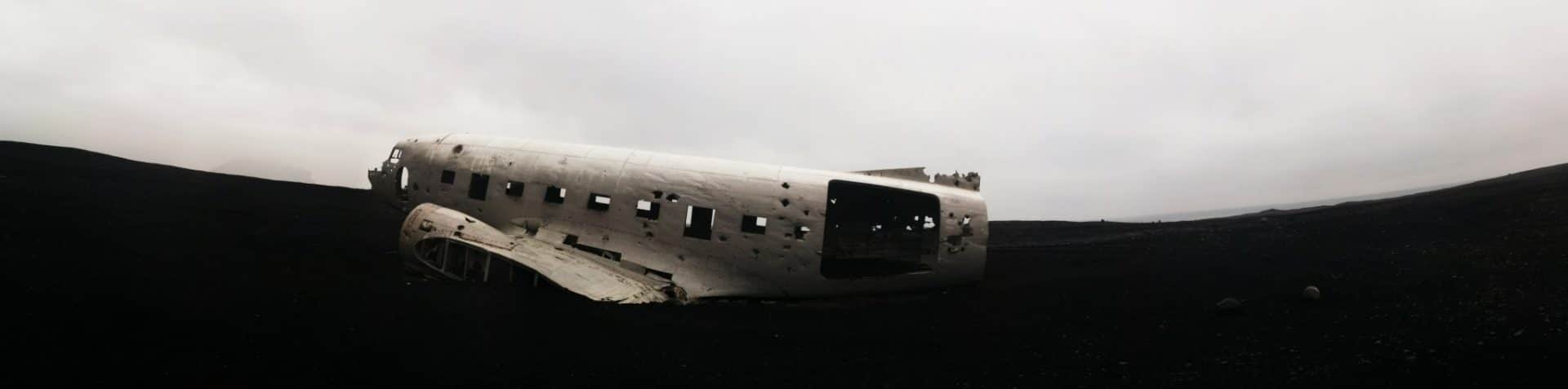
Another 4km back to the car and I drive in direction the beautiful waterfall Skogafoss which is also the beginning of the hike of the Landmannalaugar.
The Landmannalaugar trek is the hike to do if you go to Iceland, the beauty of the scenery is breathtaking.
The waterfall is impressive, a real wall of water of 60m.
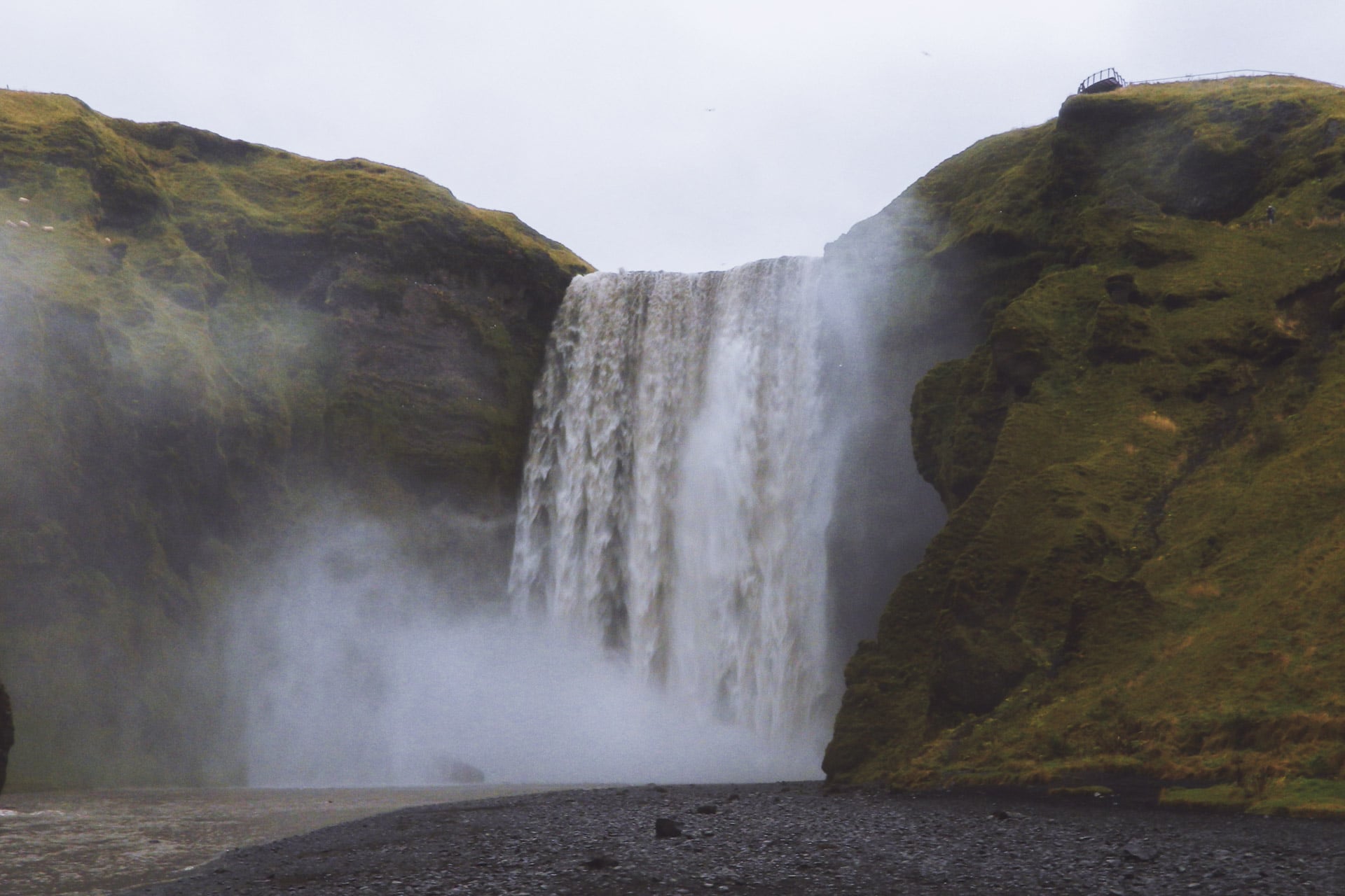
The road continues and the series of stunning waterfalls also with Seljalamdsfoss which has the particularity of not being hung on the cliff. We can even go behind it’s very beautiful.
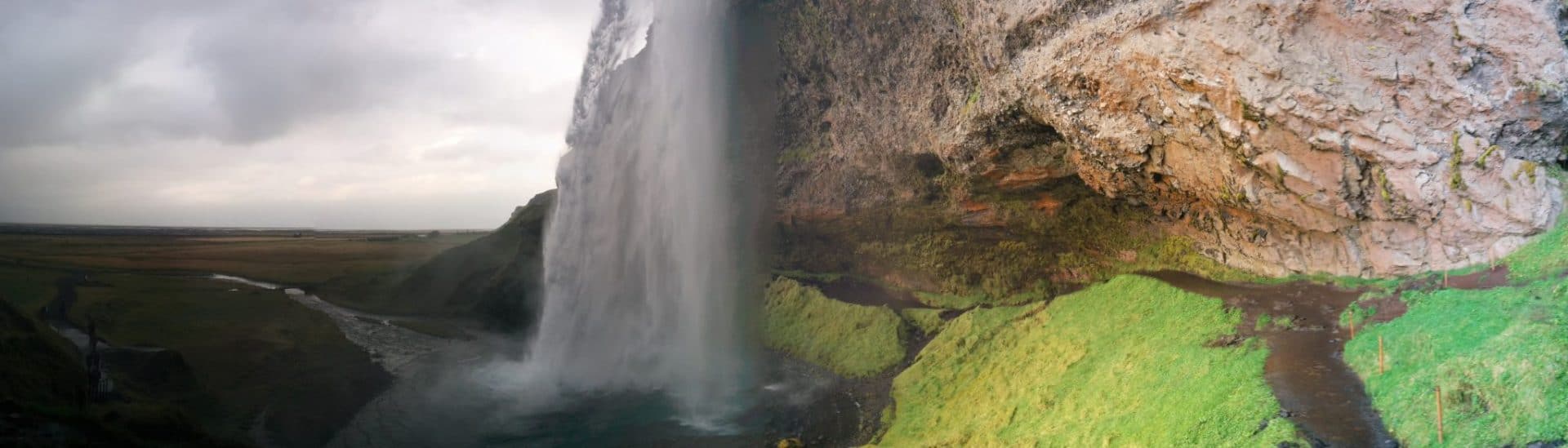
I’ll finish the day by joining Gullfoss for the night. I arrived relatively late because the day was very long …
This is the end of the journey soon …
Day 13 : Back to Reykjavik
Back in Reykjavik in the early afternoon. The circle is complete. 3500km at 57km/h on average.
I take a bed in the “Reykjavik Backpacker” street Laugavegur (which I find better than the Kex). Here I meet Pascal, the guy from Quebec I met in Akureyri. As I have quite a long time I take the opportunity to visit the city. It’s very nice, Reykjavik has the perfect Scandinavian style. The day passes quietly in the sun.
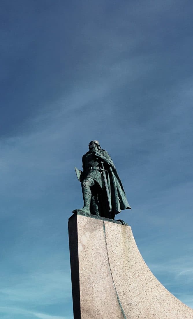
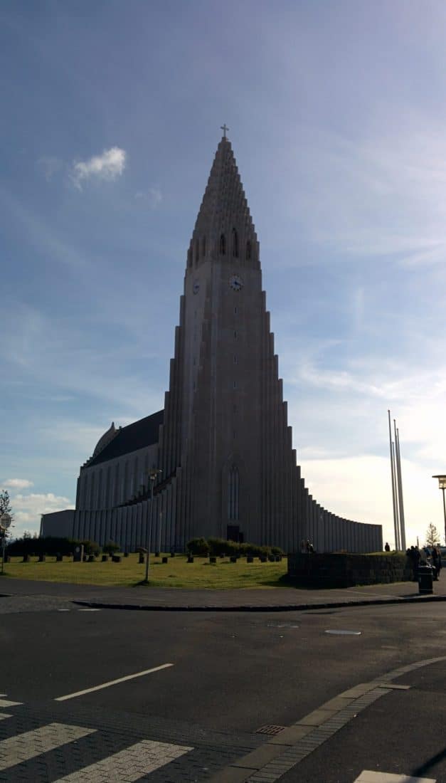
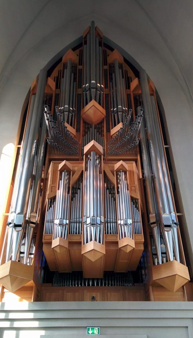
The next day I visit, I take the time, I drink cafes in Reykjavik Roaster (which make excellent coffee).
At the end of the day, I meet Pascal with whom we take drinks at Dylon and with whom we try the “Rotten Shark”, shark kept underground for several weeks. It’s horrible it stinks urine, inedible … The evening continues at the bar of the Youth hostel with French guys, American and other people; I like those cosmopolitan moments.
11pm, I take the road for the last time towards the airport, I return the car then begins a long wait because my plane is late at night.
This is the return … bye bye Iceland and see you soon!
Conclusions
What an absolutely fantastic country! I used a lot of words like “Superb”, “Magnificent” or “Wonderful” but that’s because it is! Iceland really offers landscapes apart. We find the “codes” of the Nordic landscapes as we can see in Norway but the volcanism really adds a plus.
14 days to go around I made it a bit quick with hindsight. I will have had to be spending more time in places between Hofn and Reykjavik, in the golden triangle too but I do not regret the choices I made. The fjords of the North West for example took me almost three days but it was worth it. Taking a 4wd would also have been more fun, already to go faster on the gravel roads and also to explore the center but once again between the budget and the timing it was necessary to make choices.
In any case I loved this trip, doing it alone gave it a different appearance but very nice too. Iceland is not very big but you can spend a life exploring, I think! What is certain is that I have to go back, whether it is in the North West in the Hornstrandir or in the center crossing, … ideas are not lacking …
To conclude: if you hesitate to go to Iceland, stop! Go ahead you will not be disappointed!
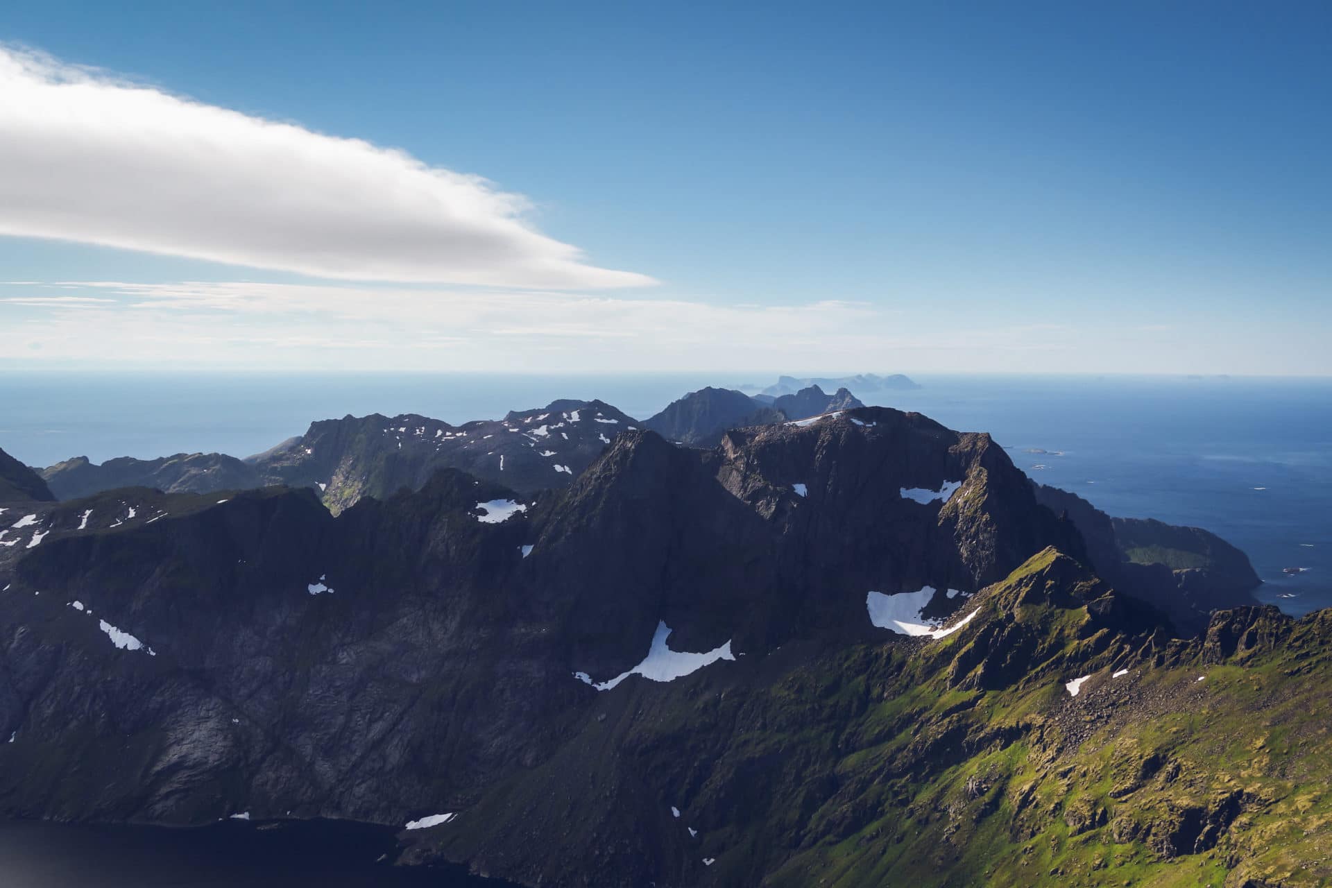
Lofoten Island, Norway
It has been a year that we wanted to go back in Norway and especially visit the Lofoten Islands. Why there ? Because Lofoten Islands are a magnificent jewel lost north of the Polar Circle. Imagine kilometer high mountains with their feet in the ocean. You begin your hike just by the sea on the morning and walk in high mountains by noon ! Lofoten are unique and magical.
Where are they ?
Located between 67° and 69° north, the Lofoten Islands are 300km north of the Polar Circle. The archipelago is 150km long in the north Atlantic. Despite they are located far north the climate there is quite nice due to the Gulf Stream which bath the islands.
They are seven main Islands (from East to West) : Austvågøya, Gimsøya, Vestvågøya, Flakstadøya, Moskenesøya, Værøy, Røstlandet. People living there are mainly of the shore because the inside land is mainly sharp mountains.
The archipelago is easy to cross by car thanks to the E10 road but it would be a shame to just visit the island in two hours. It is the perfect place to walk to discover all the hidden treasures that Lofoten can offer. So our plan was to walk from Svolvaer to Moskenes and to choose the details depending on the weather or our envy…
How to go to the Lofoten Islands
They are many ways to go to the Lofoten :
- by car : from Narvik and the E10 or from Bodø and Moskenes after few hours of ferry
- by ferry from Bodø : from there you can go the Moskenes, Svolvaer or Stamsund.
- by plane : there are two small airports on the islands : Leknes and Svolvaer. There are regular flight every day.
On our side we chose the following solution :
- Plane to Oslo (Gardenmoen)
- Train between Oslo and Bodø
- Ferry Express Boat from Bodø and Svolvaer
The train is 17h long but we like this soft way to travel. It allows the traveler to appreciate the moment, to enter slowly in his new environment. The Norwegian train are especially comfy thank to the private double compartments so the 17h were fine.
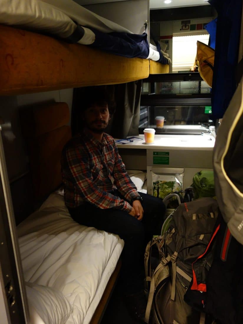
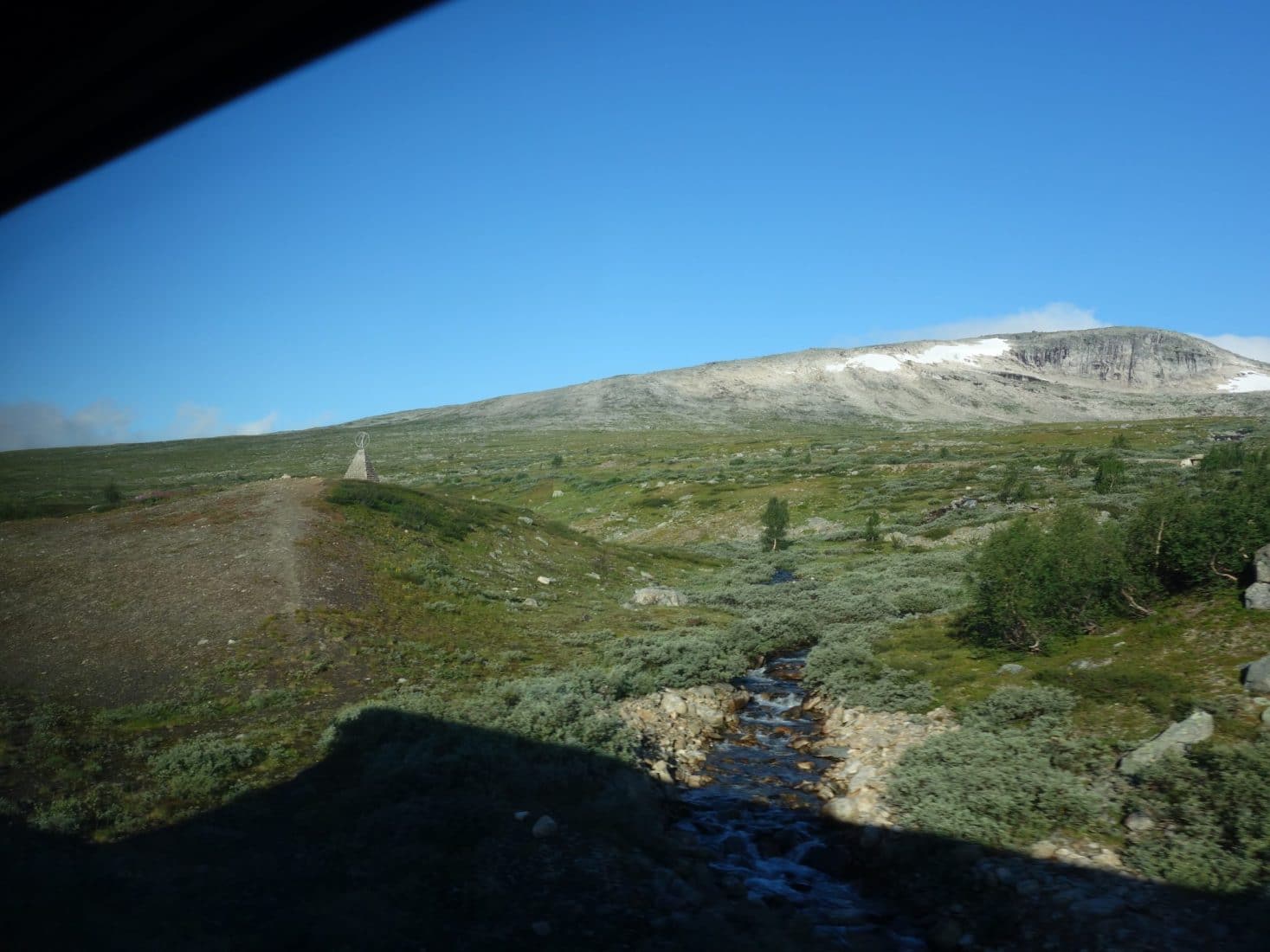
Day 1 : from Svolvaer to the Olderjforden
At last Svolvaer ! It’s just been a flight, “few” hours of train and a ferry but now we can really start. The hike begin on the road in the direction on Kleppstad. The beginning of the path is located near the Lille Kongsvatnet after the bridge over the Straumen, next walk toward the small power station. This part is not very interesting. The “real” path begins after that, following the Stor Kongsvatnet shore. We are walking quite slowly because of our backpacks full of food, the time to warm up but also because the ground is wet and muddy. In any case we are happy to be there and to discover the Lofoten !
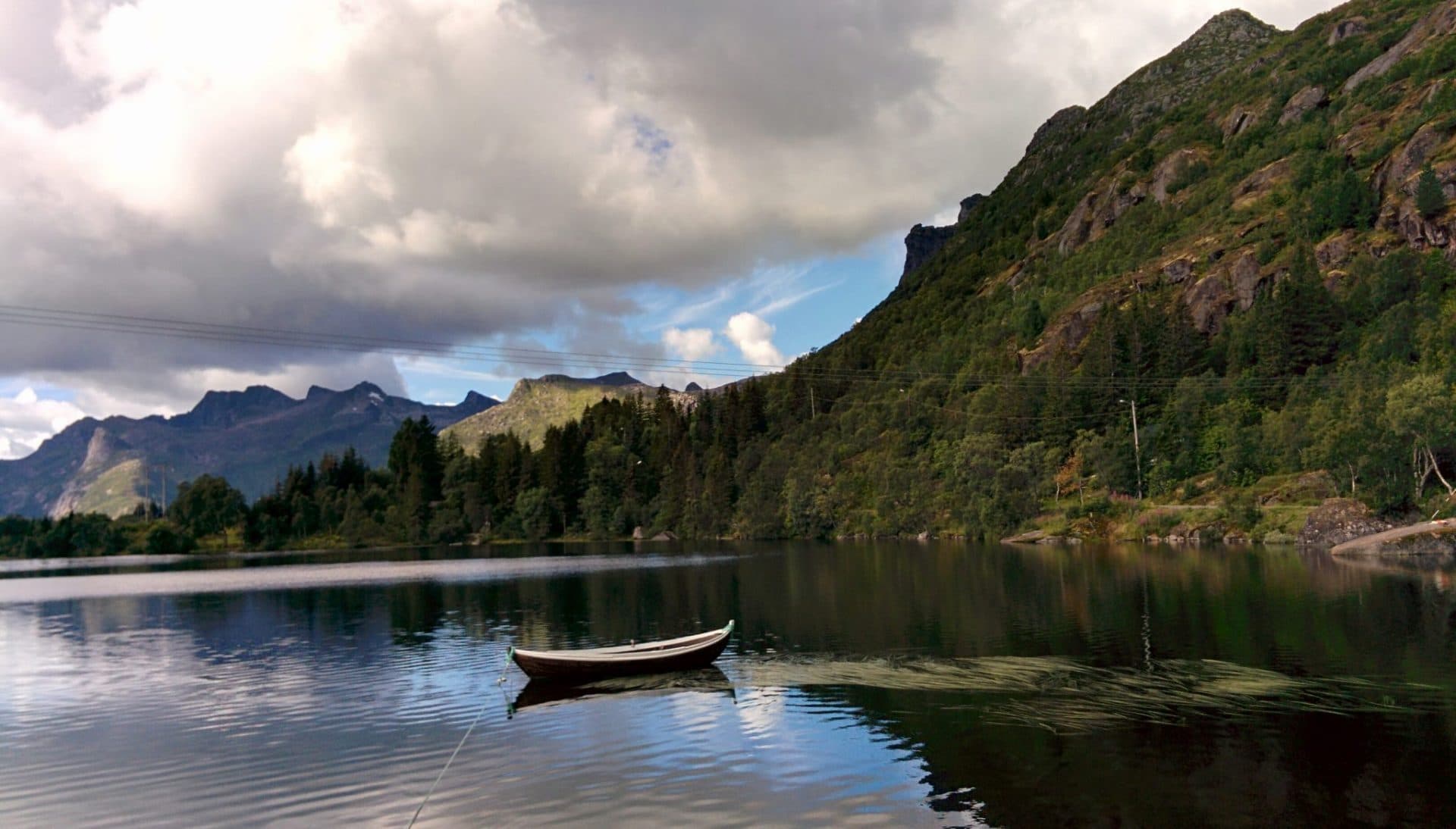
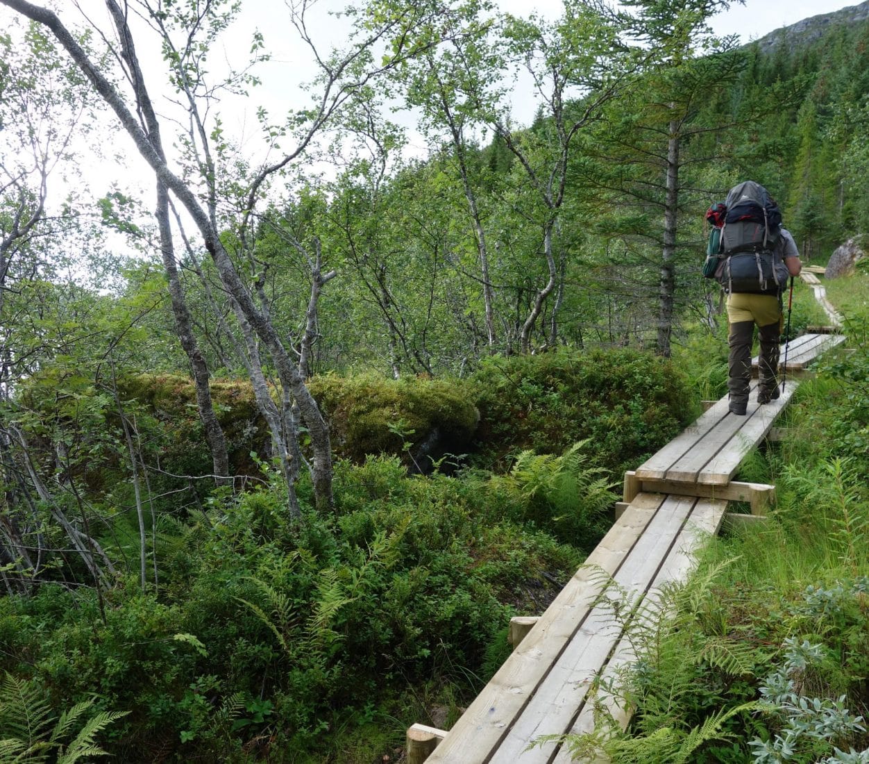
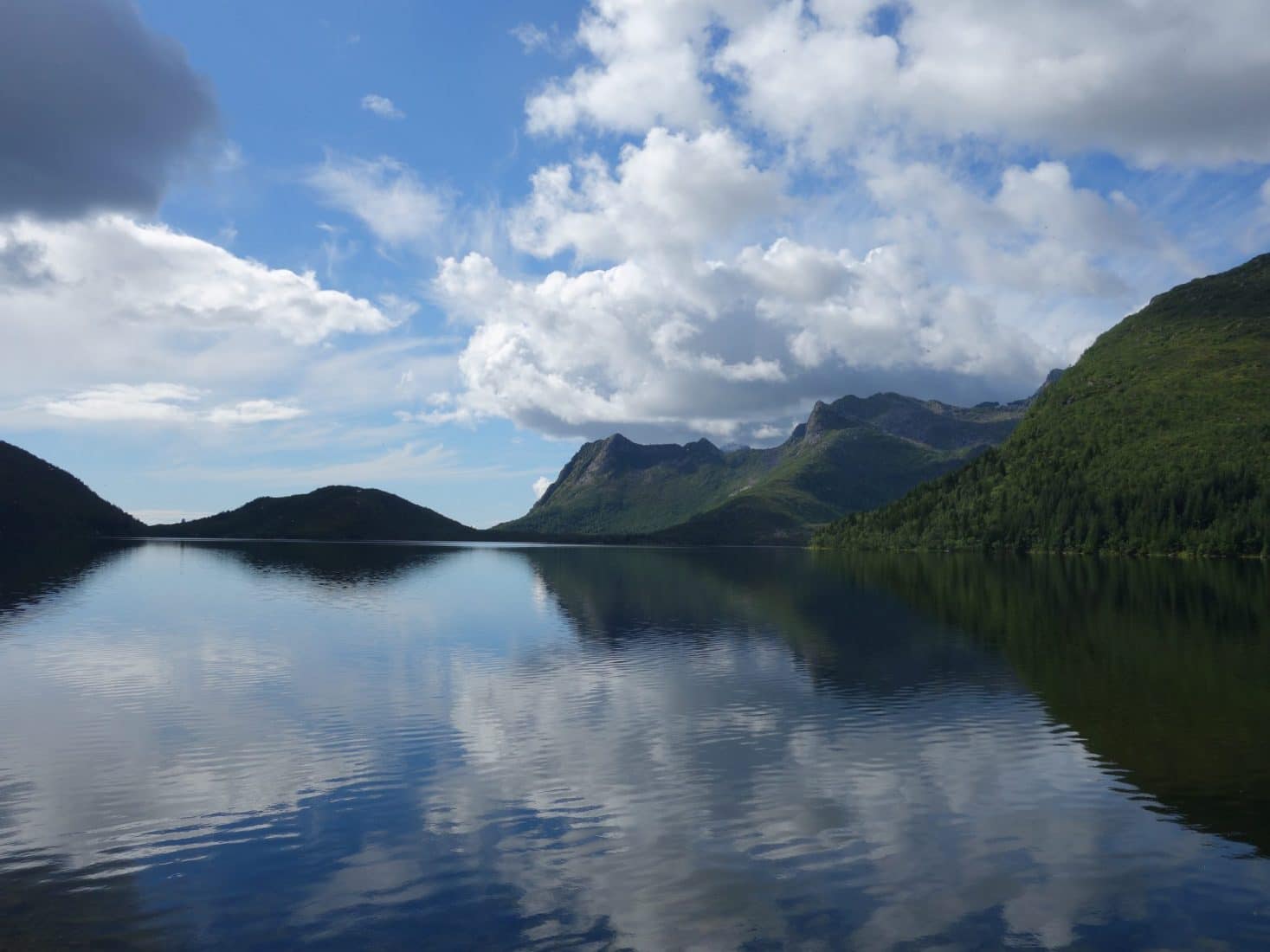
After a bit of time we arrive to a smal hydroelectric power station where we turn right to begin to climb to the Damvatnet. The bags are heavy on this first ascent but it’s ok… It’s around noon so we have a small lunch close to the lake. The view is beautiful on the lower lands with lakes and the ocean in the distance.
The next stop is Vestre Nøkkvatnet. From where we are we wonder a bit where the path goes because we can’t see it climbing to the lake. Following it we understand fast that it’s running along a water pipe (used for by the dam). The ascent is very steep, there are ropes to help climbing and it is a good thing because it is not that easy with the backpack on our back…
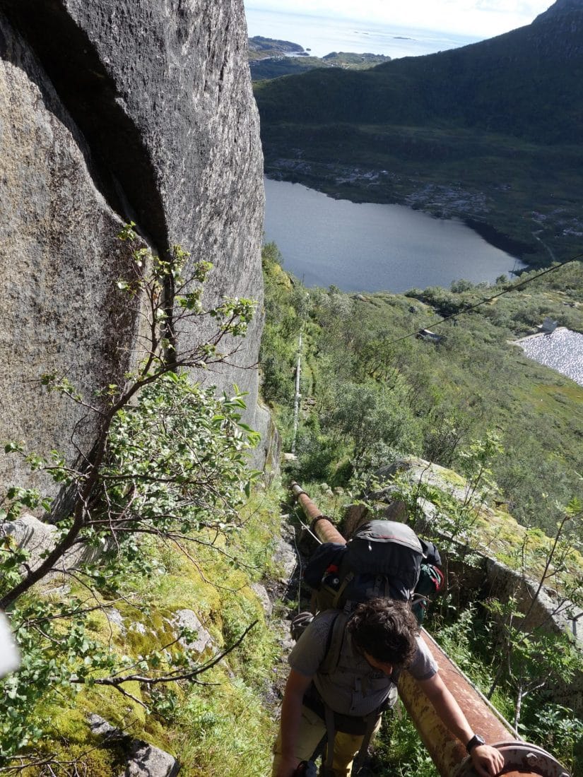
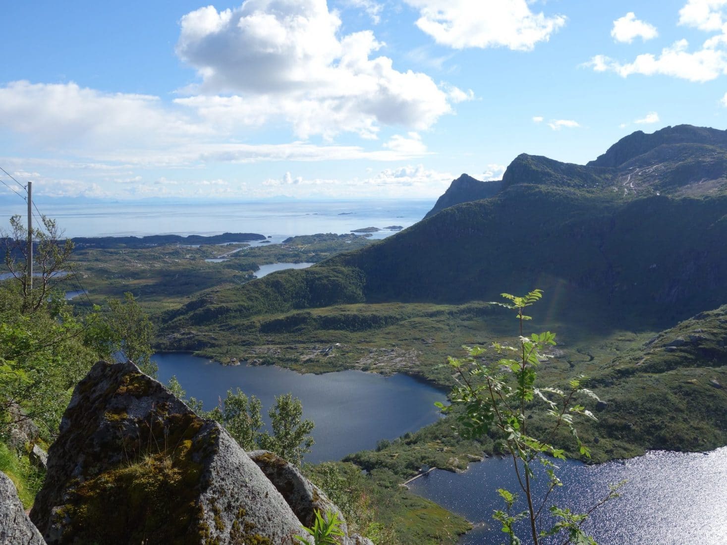
On the top weather begins to be be cloudy but the view is nice. No more trees here just bushes and grass. We are trying to go to a sort of pass to go downhill next but we miss a bit the right path. From he top we can see what is waiting for us : no path, a long way down and a swamp at the end. It is 5pm and there still is a long way to go and no obvious place to stay for the night so I begin to worry a bit for the end of the day.
We start walk the slope next. It’s very slippery and muddy. The path is not clear so I haeve to use the GPS to find it otherwise it is easy to go to a wrong way and to finish blocked by a cliff for example. We, both, begin to feel tired by this long day, we would like to find a place to camp for the night…
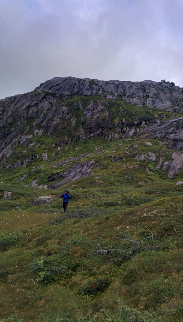
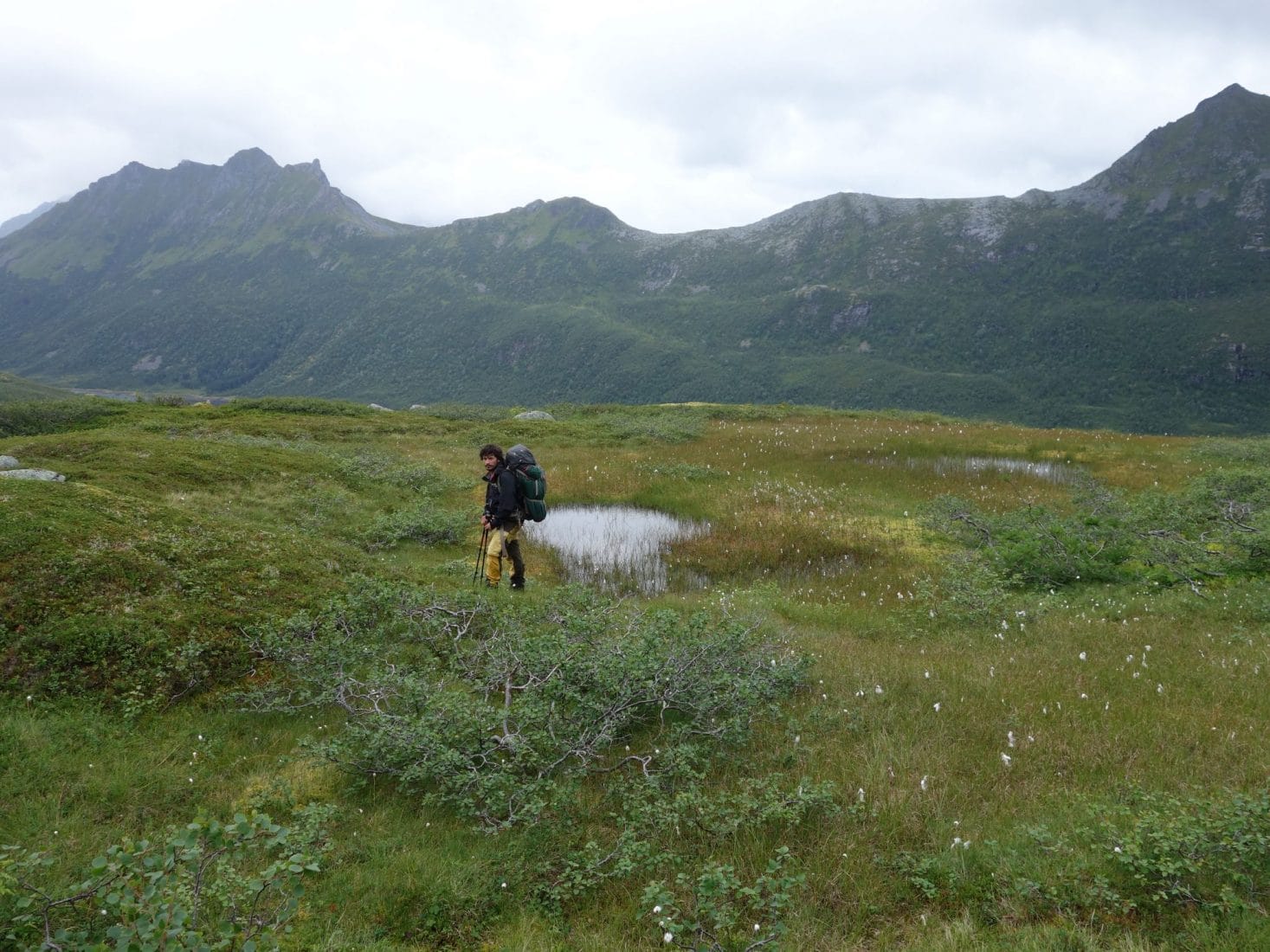
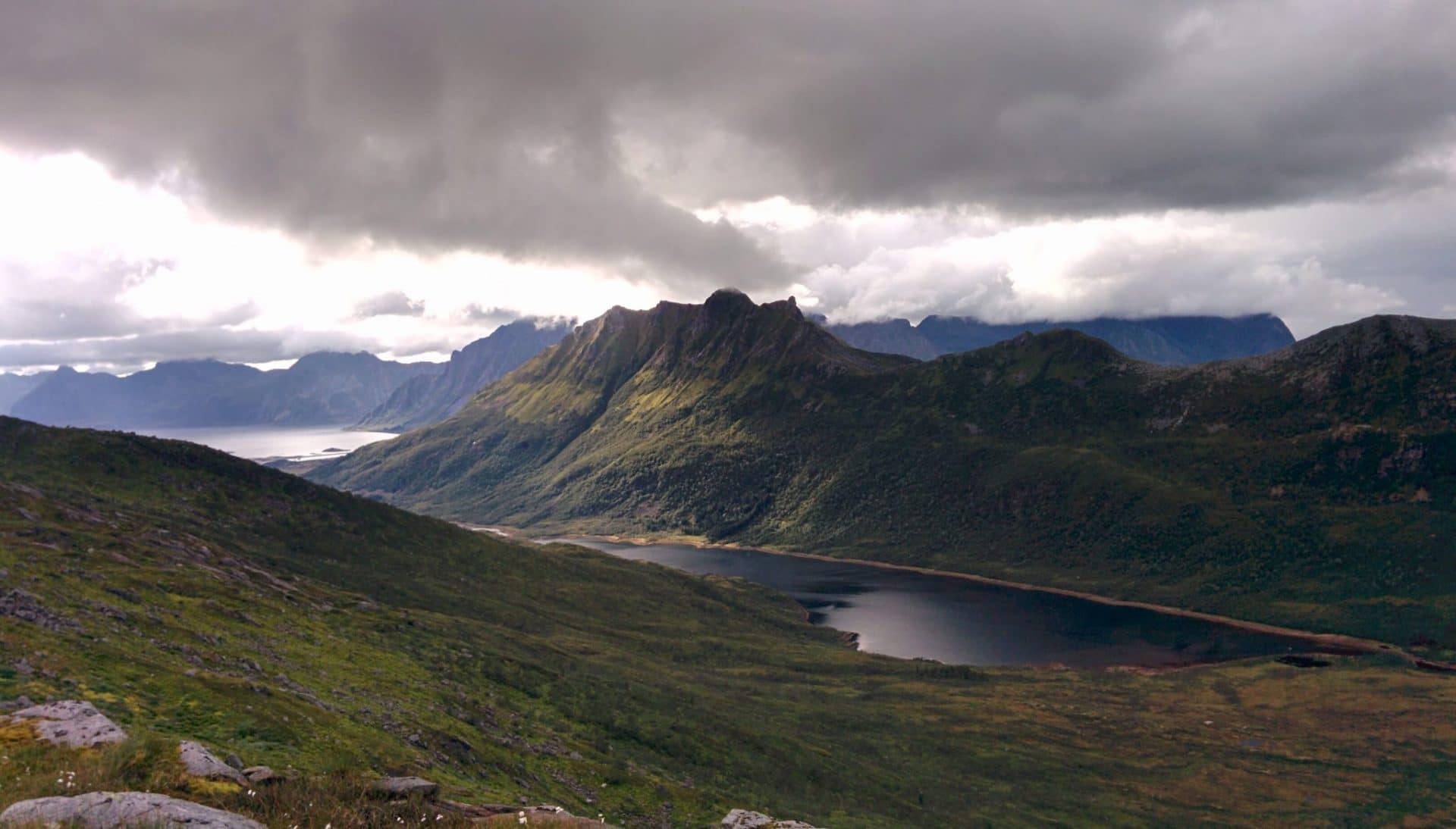
Two hours later we are at the bottom of the valley, it is a swamp, so it will be hard to find a place to camp there. We continue to walk a bit and suddenly we are passing by a small hut with a sign on it : “Open Cabin”, O miracle ! It’s a public cabin where everyone can stay freely. It’s perfect for us tonight ! The inside is simple but just as it needs to be to be comfy : two benches, a small table and a stove ! Perfect. We set for the night, we will be fine here.
It has been a long day for a first one ! The weather was not perfect but the landscape were still beautiful. We are going to change our plan a bit : we will do shorter distance and we won’t go to some place because we want to focus on Moskenoya which seems to be the most interesting island.
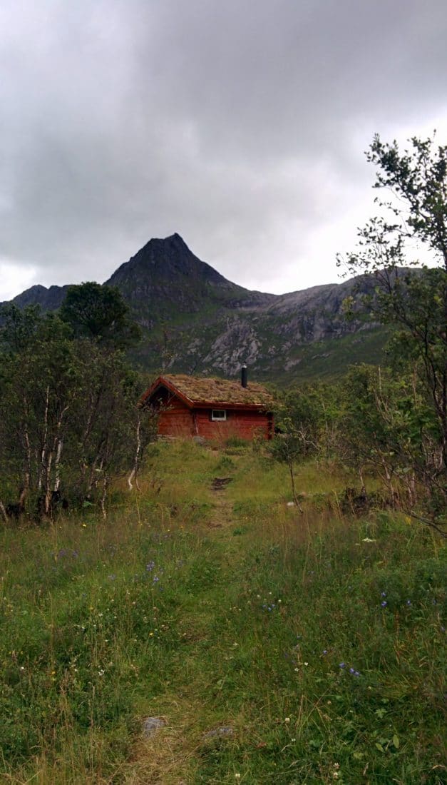
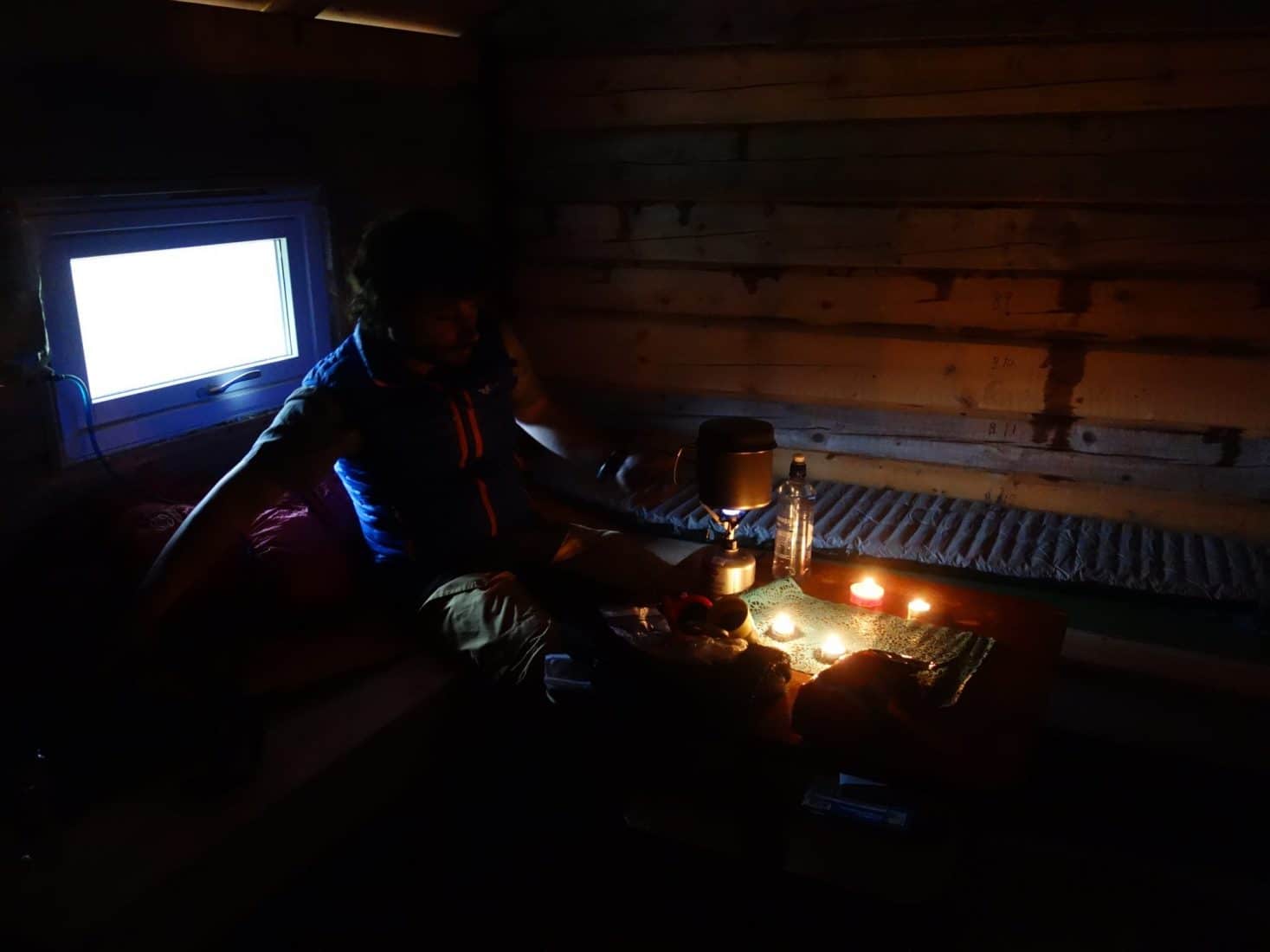
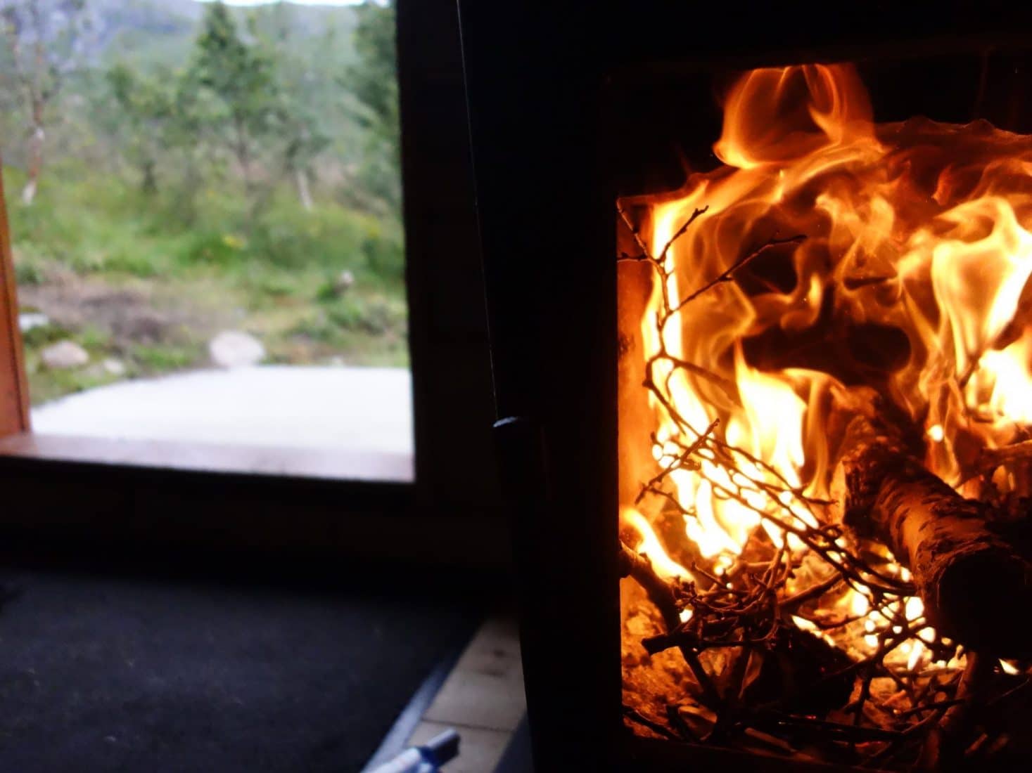
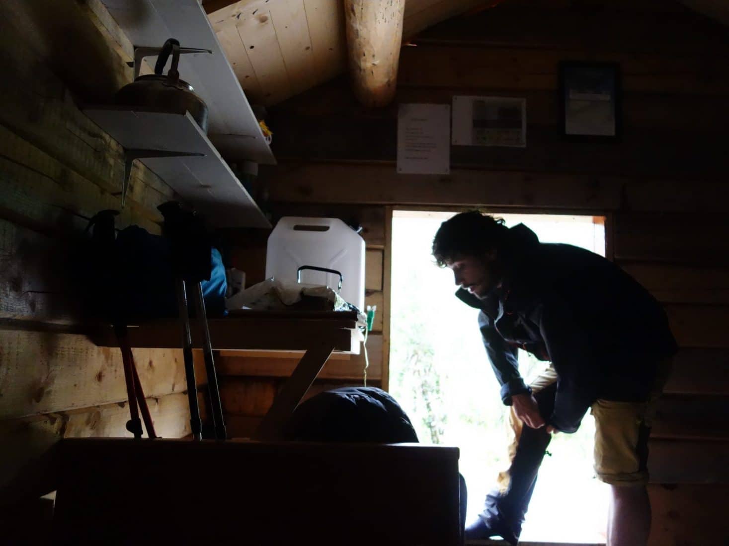
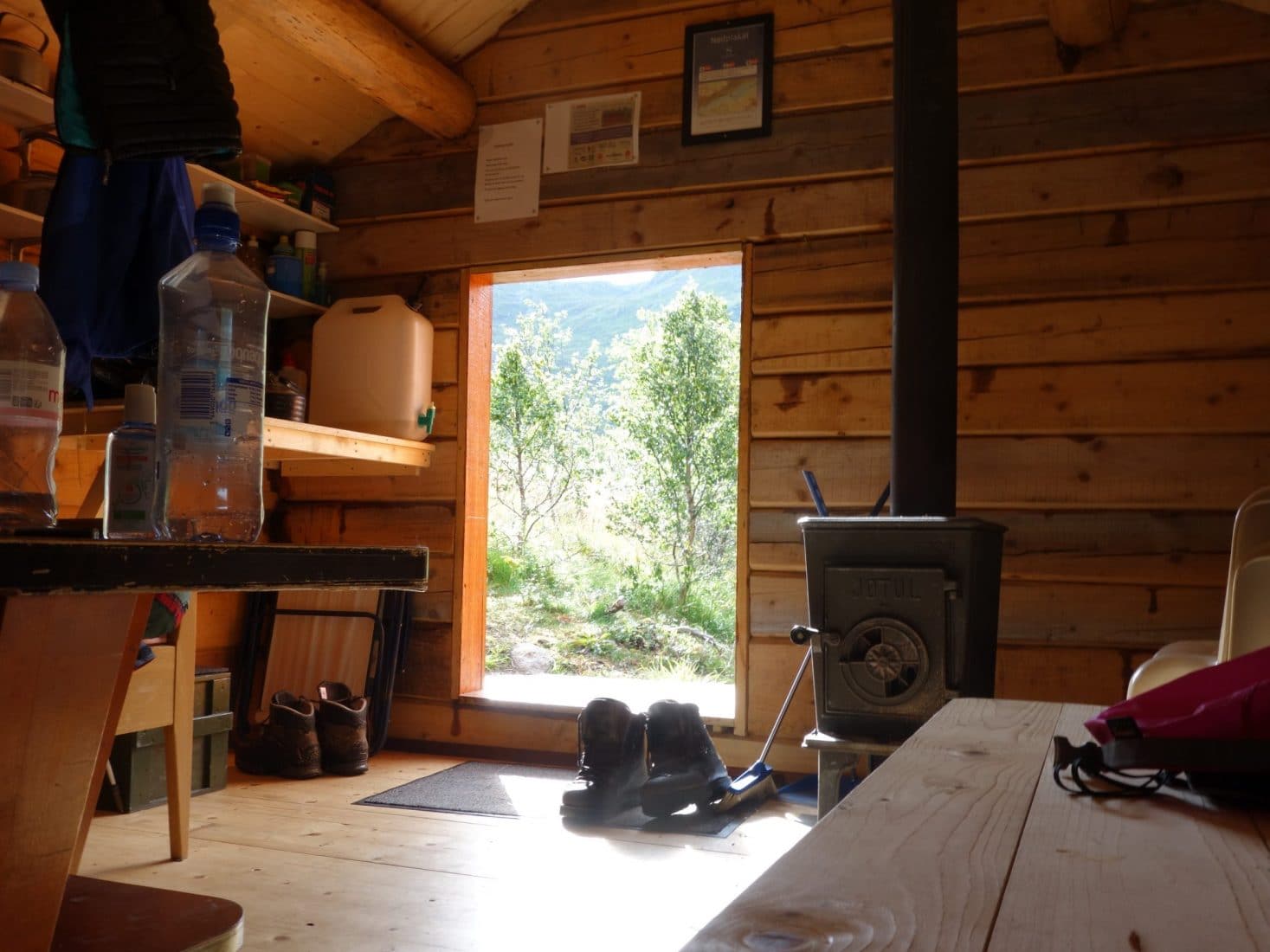
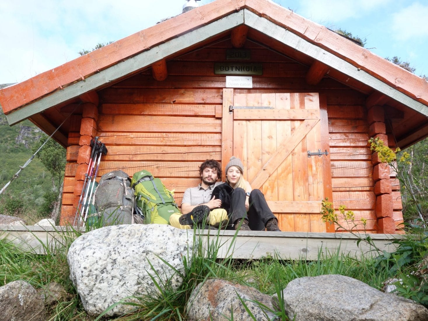
Day 2 : from the "Magic" hut to Haukland
A good night’s sleep ! We are back on the road after a good breakfast, after storing and cleaning and after signing the guestbook.
The plan of the day is the following: join the E10 road and hitchhike to reach the beaches of Utakleiv or Haukland, we will see on site where spend the night. We chose not to go through Vestvagoy because according to the map it is mainly the relatively flat wetland and we want something else. The weather is sunny this morning.
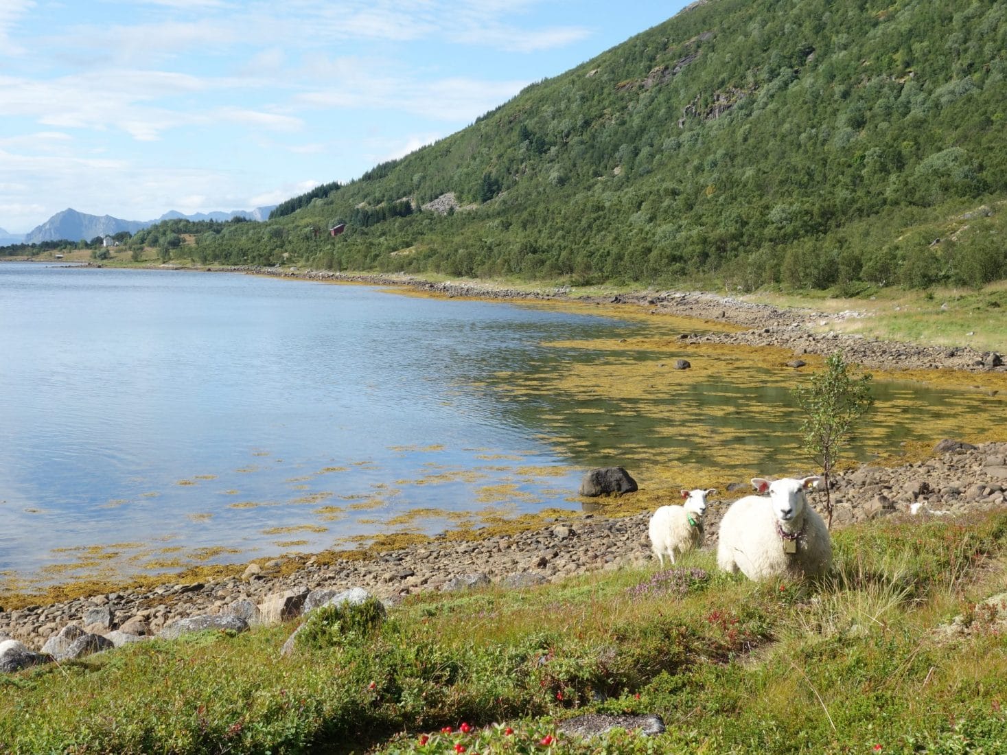
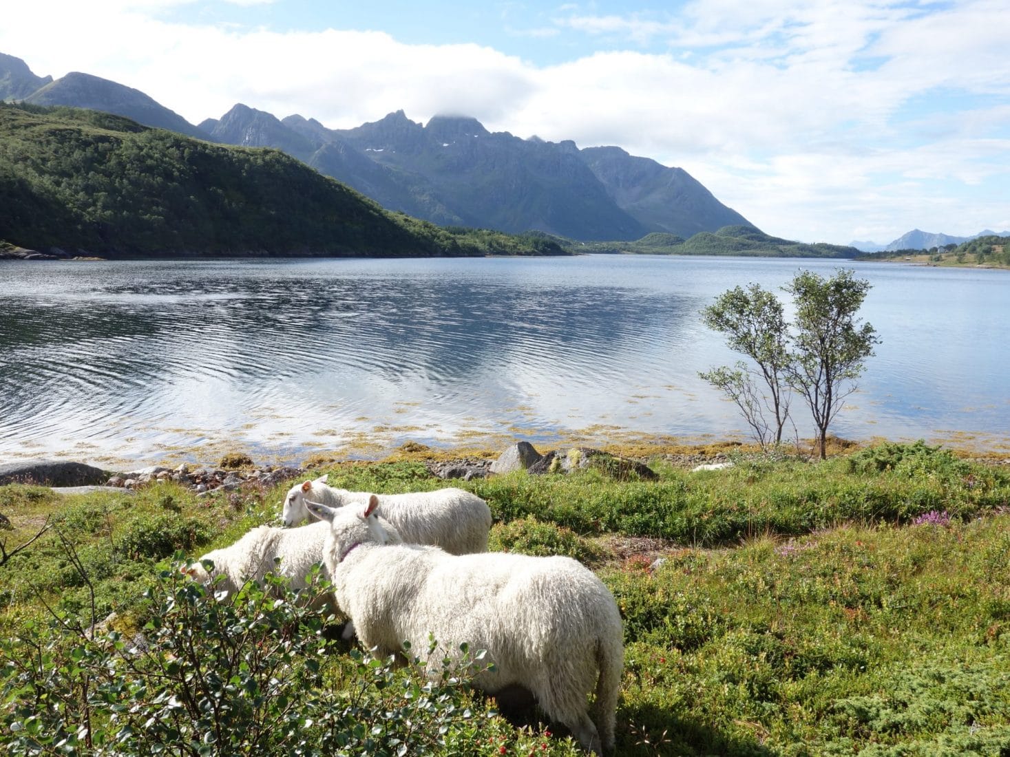
It will take us 1h30 to reach Kleppstad along the coast of the fjord. The path is nice. We try to find a strategic place to start hitchhiking and it seems to work because a couple stops to take us after a few minutes. Those are two Swedish climbers who spend a little time in the Lofoten. There are many possible and very wild ways given the number of parishes there are. They will drop us at the intersection between the E10 and the small road that leaves towards the beaches (Leiteveien). We will try again to hitchhike because the prospect of walking on the road for 2 hours does not please us too much. Our new driver will leave us on the beach of Utakleiv. The beach is very beautiful and wild, there are few people.
We wanted to stay on this beach initially but between the wind which strong, lack of water point and also a weird sign about the price of the night on the beach, we decide to return by the coastal path to Haukland. This path is beautiful and allows you to discover the beach as we walk.
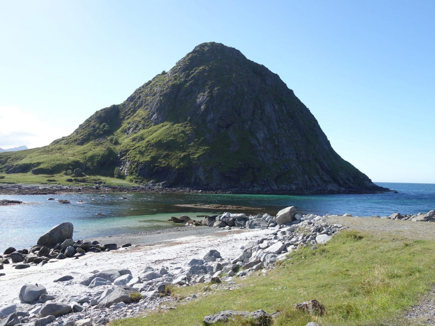
Haukland is a very pretty white sand beach nestled in a cove with crystal clear waters. It makes you want to swim there if the water had not been so cold. Behind the beach is a large grassy area perfect for setting up the tent. Unfortunately the car park that is behind attracts people and notably a lot of motorhomes. Tonight we will not be alone but the closest tent should be 20m away from us, not to bother us. Interesting point : there are washrooms on parking which also offer an easy water point. So we set our camp just behind the beach next to a picnic table. The entrance to the tent is facing the sea, it is sunny, life is beautiful.
From its height of 489m, the Veggen which is located between Utakleiv and Haukland is reachable on foot from the beaches and offers a superb view.
It was a small walking day but we needed to rest after the trip and the first day of walking. Anyway the goal is not to run but to enjoy. What we will do during the afternoon on the beach in the sun.
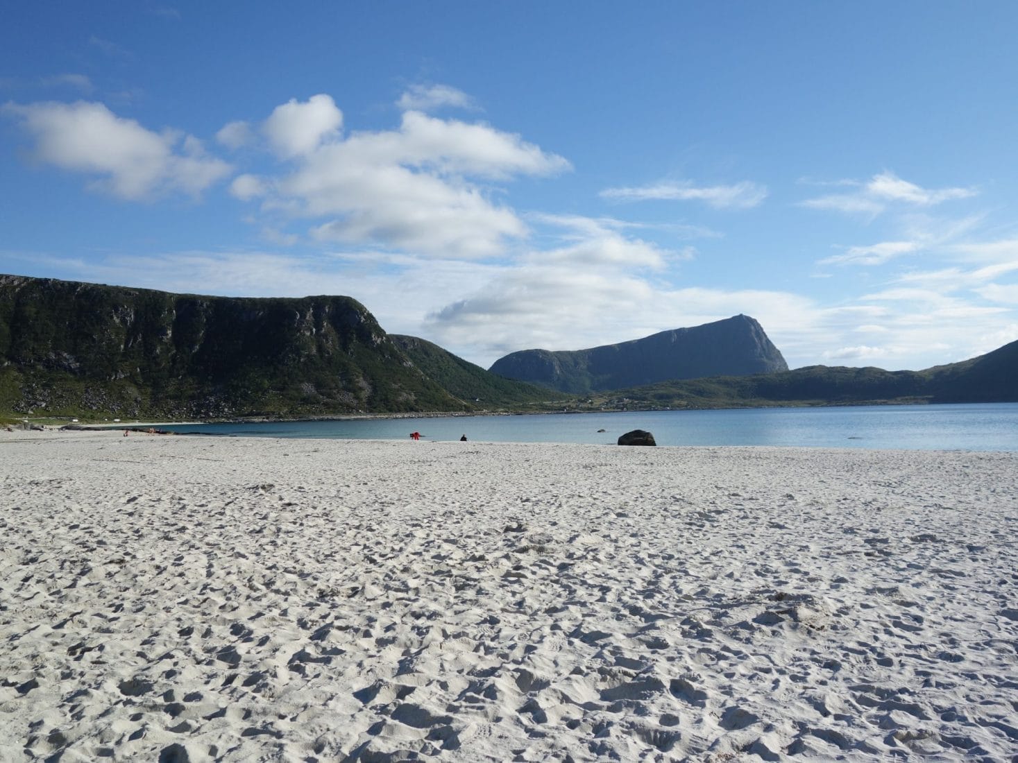
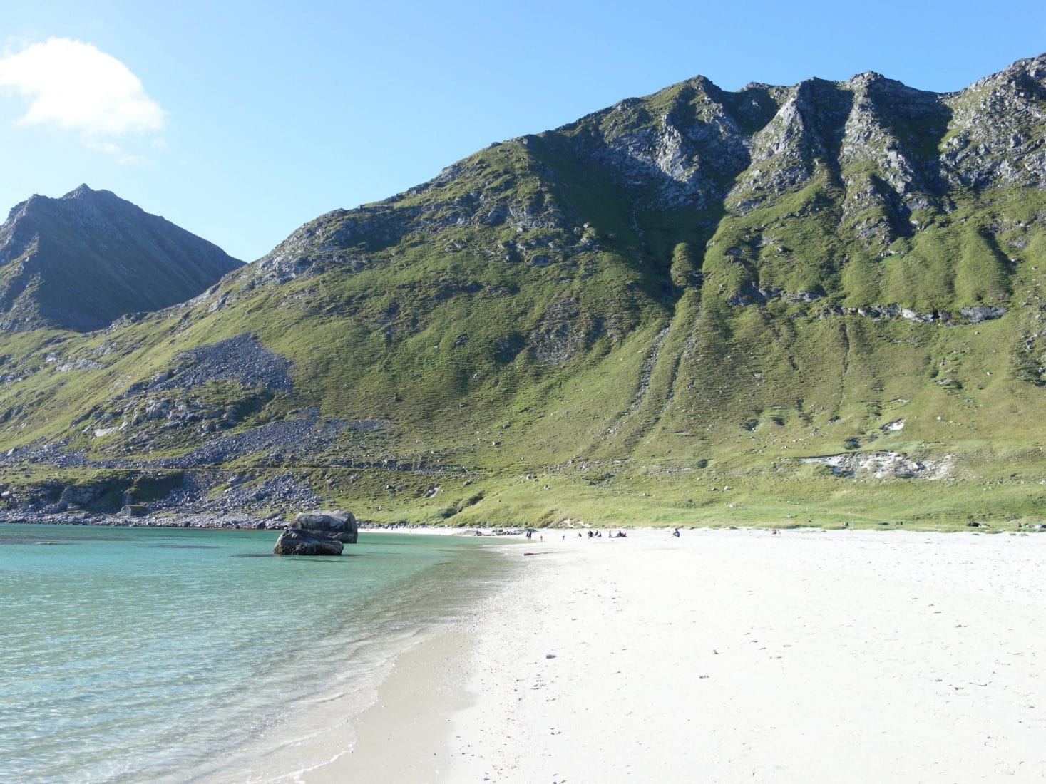
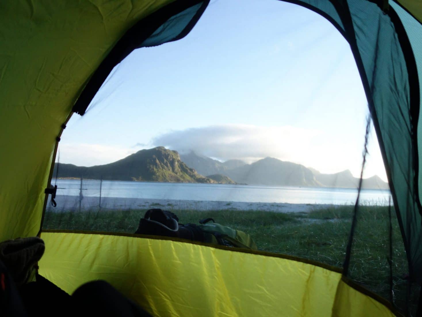
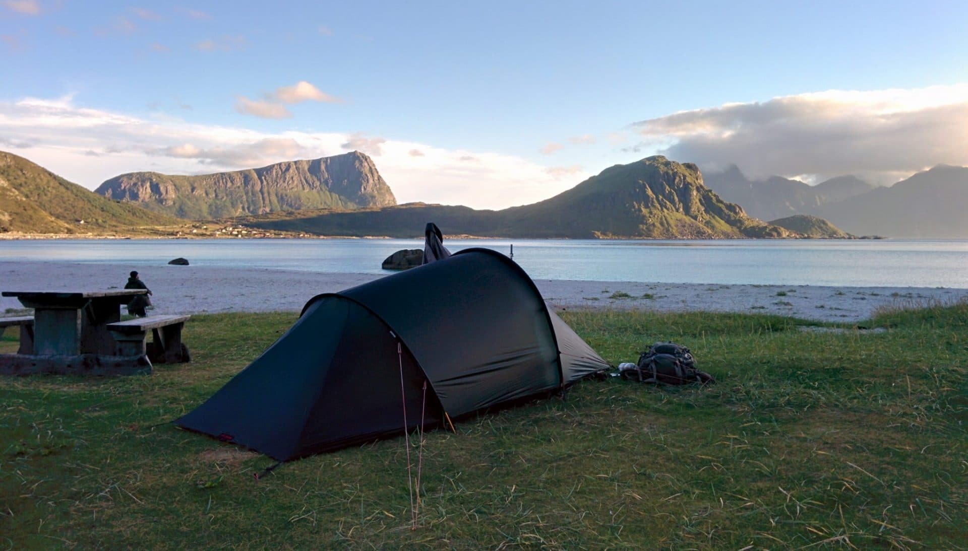
Day 3 : from Haukland to Nusfjord
Waking up to the sound of the waves and under the sun by 68 ° N … What a joy!
The program of the day is relatively simple. Join Nusfjord and hike to Nesland. The choice of this day without much walking is justified by the weather of the next days that will not be great, so we prefer to see the village under the sun. We also have to take into account that we will have to hitchhike to cross a tunnel (without pavement) to change island.
So we get ready early in the morning. Our first goal is to join the E10 at the crossroads with the Offersøyveien just before the tunnel. We will walk, it is not a very interesting part due to the relatively poor landscapes.
We finally arrive at the crossing with the E10, so we start our hitchhiking mission.
It will take us 1h30 in the wind and after several disillusions for a couple of Norwegians to stop finally. We ask them to drop us at the beginning of the FV807 which leads to Nusfjord but after explaining to them what this small village is, they decide to go there and deposit us there. Perfect! The road is nice and we feel that the landscapes are becoming more and more mountainous.
We will finally arrive in Nusfjord around 1pm. This village is said to be the oldest of Lofoten. It is an old fishing village converted into a museum village and listed on UNESCO’s “Sites to be Protected” list. We wanted to go there but we were afraid it would be just a tourist attraction where Tour Operators dumps tourists straggling with photos. Well no ! We were very pleasantly surprised, there were few people and the charm of the village is intact. This one has been preserved in the style of a typical “fishing village”. So of course there is a souvenir shop but it is “hidden” in the building of the old grocery store (there are also some fresh but overpriced products!). The Rorbus are to be rent (but Norwegian price …) with a superb view of the fjord.
The Rorbus are fishermen’s cabins mounted on stilts and laid directly on the rocks of the coast, feet in the water.
To sum it all up, I advise you to take a tour in Nusfjord, some rorbus have been transformed into a museum exhibiting old craft or old fisherman’s material.
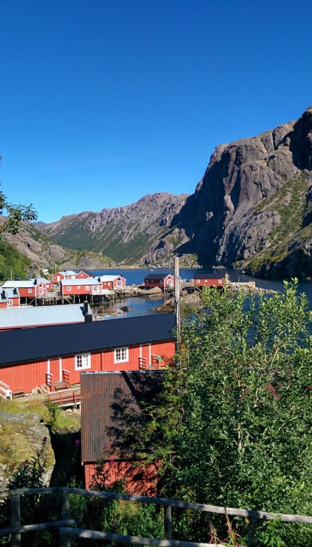
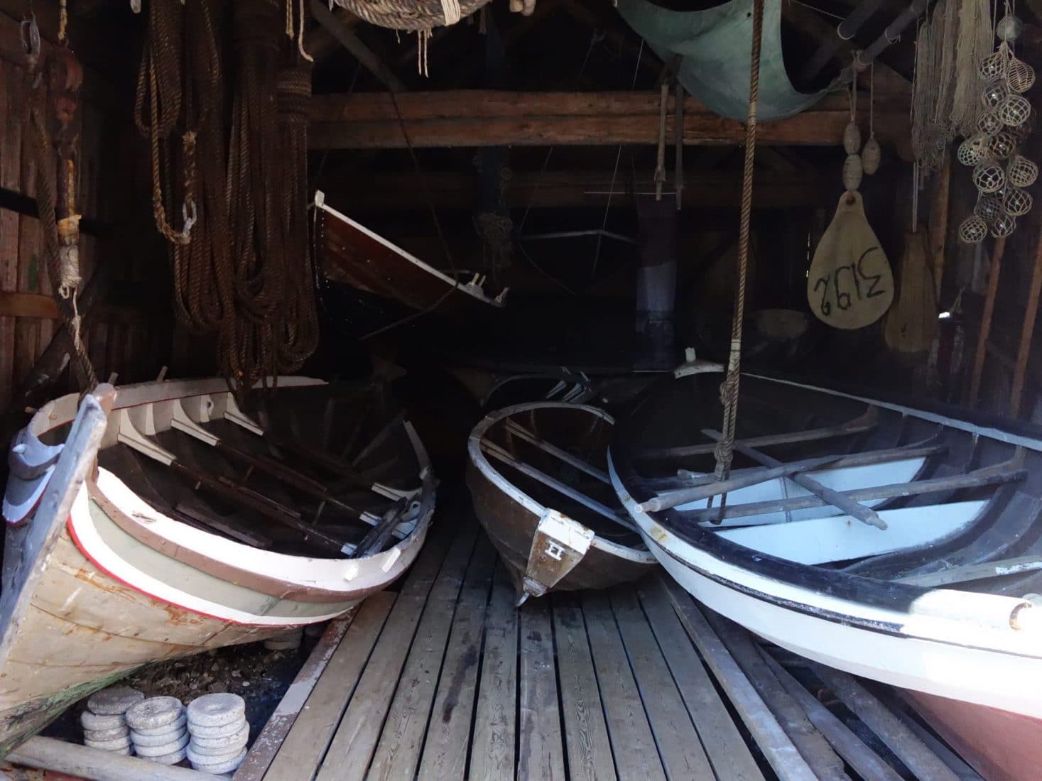
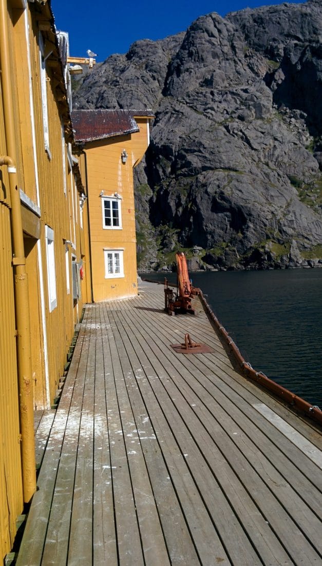
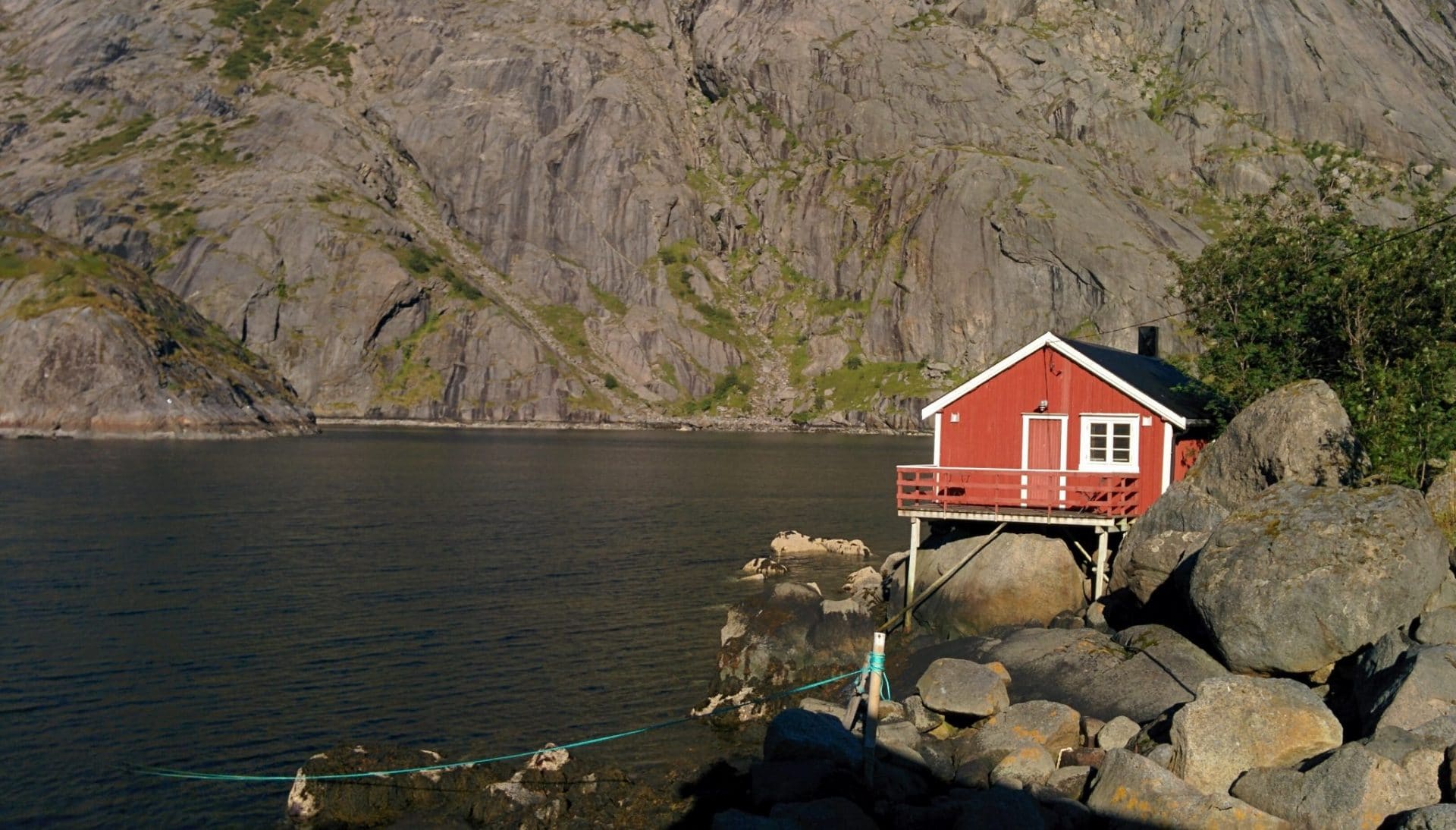
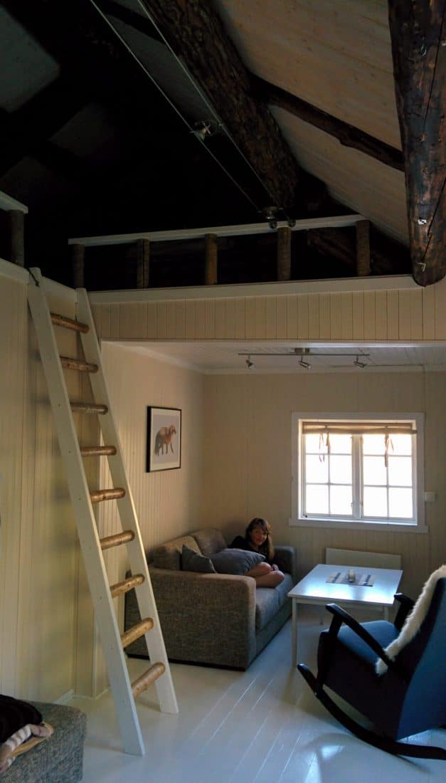
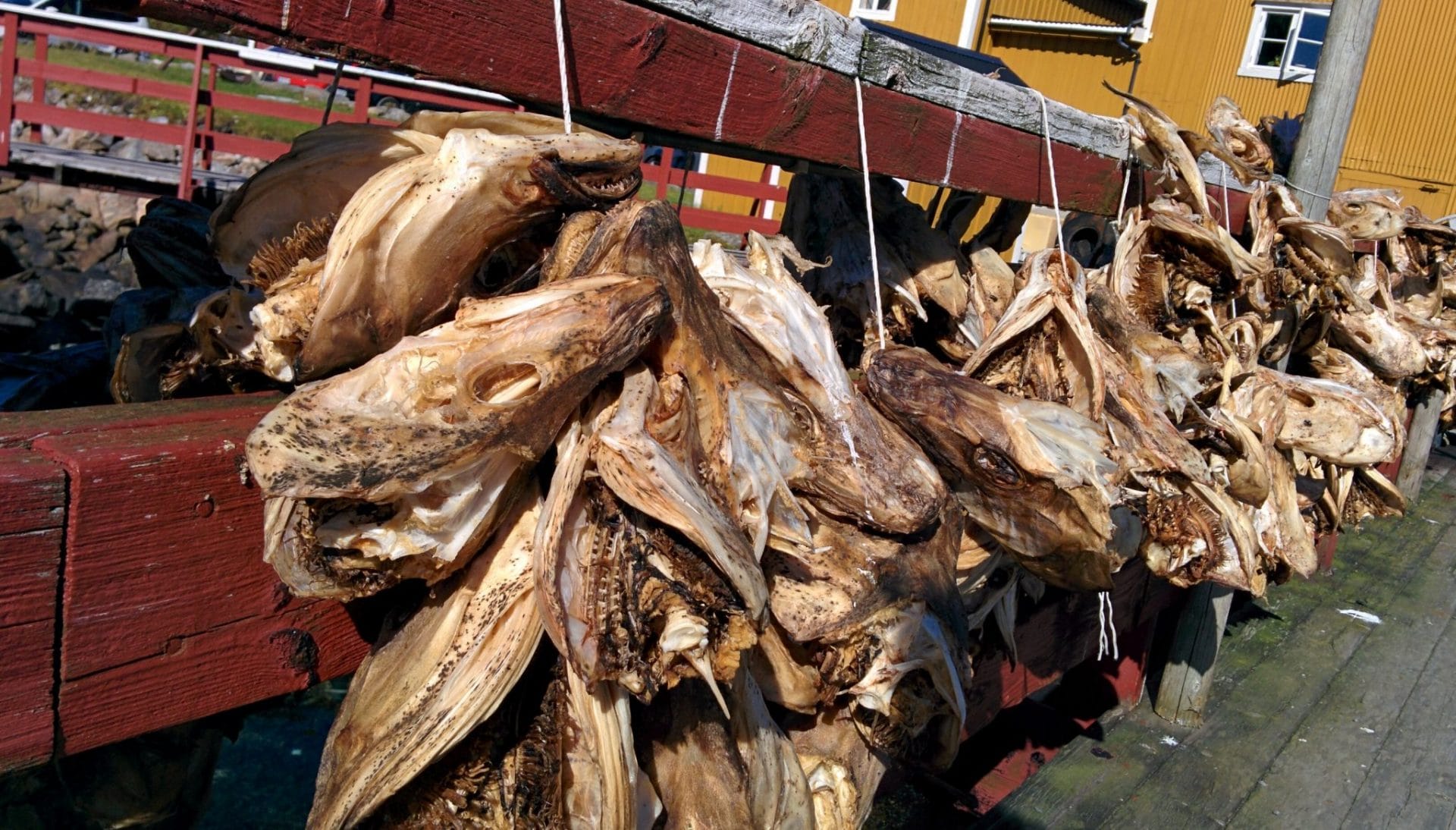
We pick up the keys of our rorbu, after leaving our backpacks, we decide to do the Nusfjord-Nesland hike which is reputed.
This one starts from the end of the village and follows the coast to the hamlet of Nesland. The coastline is beautiful during the walk especially under the great sun that we have today. One could believe oneself in the south of France with this crystal clear water. A small navigation error causes us to lose some time. In the end we will only make half of the hike in order to enjoy the village in daylight. The walk is really worth doing.
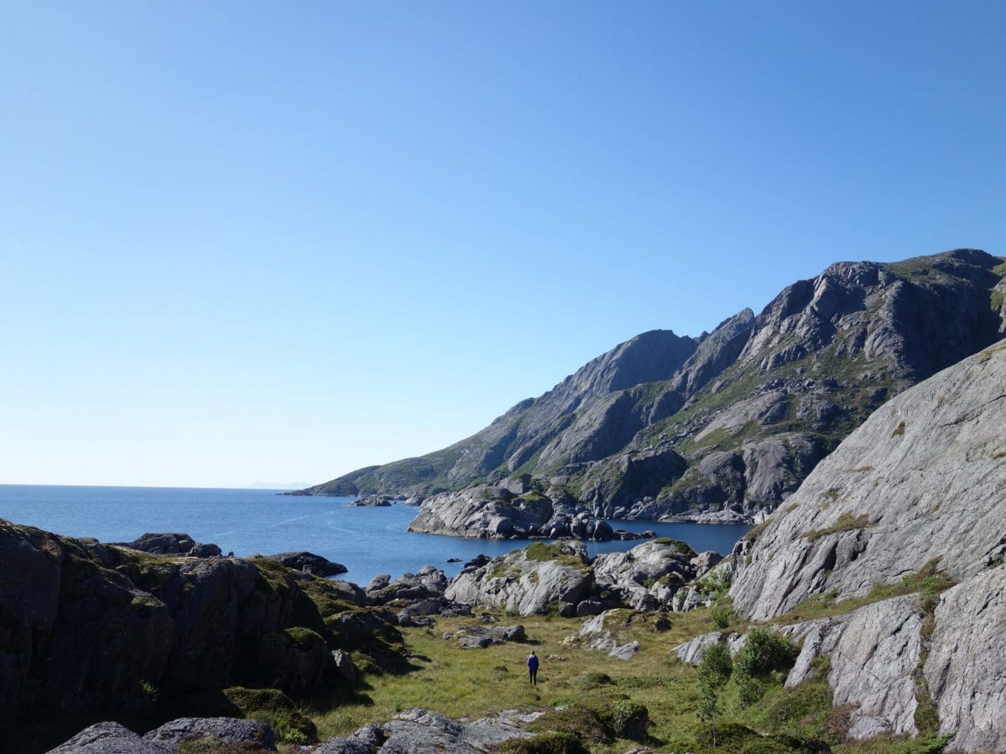
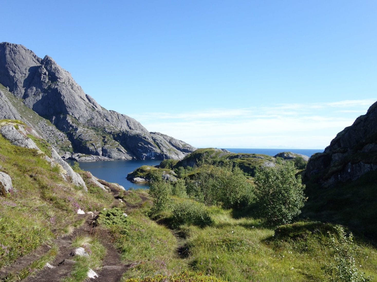
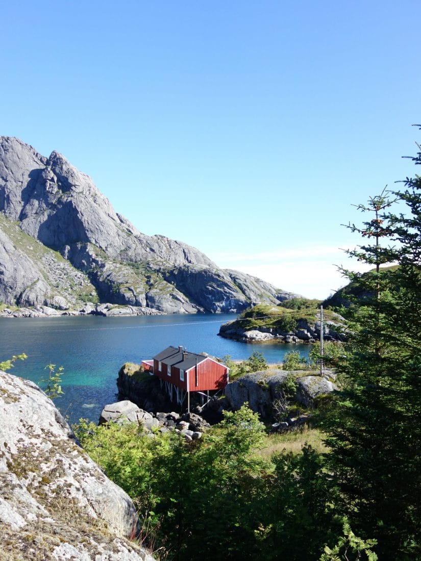
On our return we will make a little boat on the fjord; in the evening we will dine in a restaurant in the village and enjoy our rorbu …
Day 4 : from Nusfjord to Kvalvika
First day of rain this morning. The awakening is longer than expected especially when you are warm in a real bed and you know that you have to go walking in the rain … Anyway we have to go.
We are therefore on the road to go up towards the E10 direction Kvalvika. This part is not pleasant. We are along the road with little or no place to walk, there are few cars but not a lot of trucks and buses. All in the rain is not folichon.
Once on the E10 we hitchhike with very nice locals (again no choice because there are road bridges to pass). First we wanted just to be dropped off at Ramberg but the couple suggests us to drop us at the beginning of the path! Our lovely drivers are from Lofoten and lived there all their lives. Today retired they take advantage of their day to stroll by car and rediscover their islands.
They will leave us at the small carpark which serves as starting point for the hike towards the beach of Kvalvika. The trail, well marked, is simple to follow and is not complicated technically. However, we go through soggy areas especially after the rainy morning.
The path to the beach begins by climbing nicely to lead to a kind of pass to 200m altitude. Behind, the trail continues on the descent towards the beach in a more rocky terrain. Everything being soaked, you have to be careful because it’s slippery. The beach is revealing itself along the descent. It extends over two coves separated by a rocky outcrop. At each end are two summits thus closing the whole, to the SO the Kjerringa (585m) and the NE the Ryten (515m). It is sumptuous, even under the gray veil of this early afternoon. The first beach under the Ryten has to stretch about 500m, a stretch of grass runs all along perfect for a campsite. The second beach is smaller and more insulated. It is also slightly less oriented towards the sun especially in the evening.
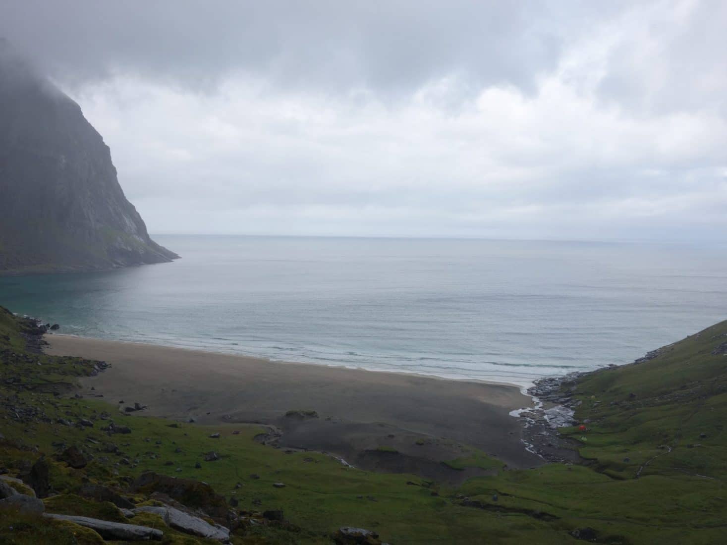
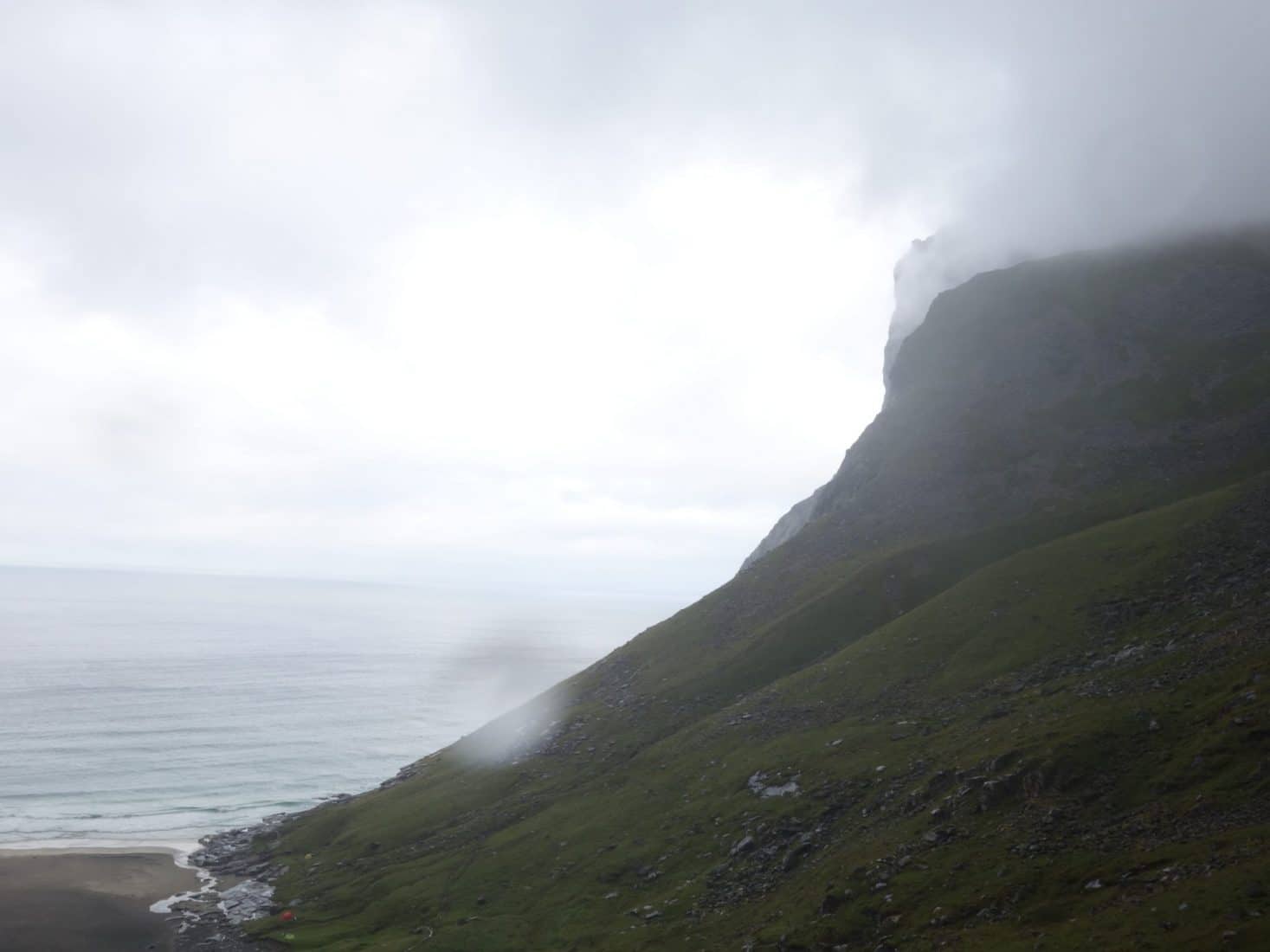
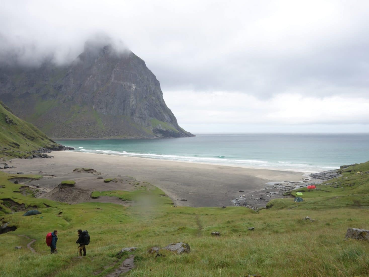
The place is magnificent and perfect for camping. Unfortunately, there are some rubbish on the beach, the majority being dumped by the sea.
On the SW side of the first beach under the Moltinden (600m) we settle on a pretty flat grassy platform.
The weather is always dull but we feel that the sun begins to break through. We rest under the tent waiting for the sun to appear. On my side, I go out for scouting and fall 50m away from the camp (next to the path) on a semi-buried hut tinkered in the hollow of rocks. This beach is known to have “hosted” two surfers during a winter, they had built a hut directly on the beach. I do not know if this is this one but in any case it looks like a Hobbit hole with its round door.
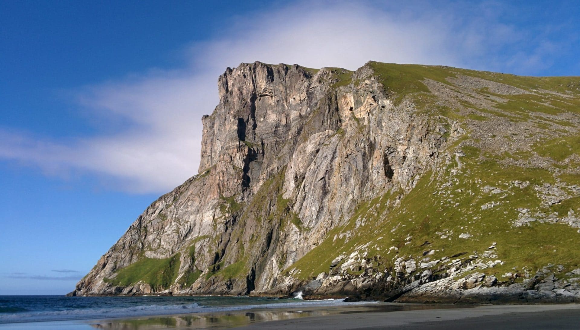
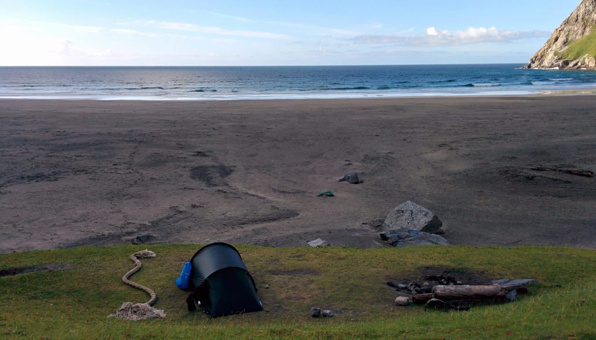
The sun will finally pierce in the late afternoon, the beach is transformed, it is even more beautiful under the rays of the sun with the mist of spray, the atmosphere is peaceful, serene.
We decide to climb up the Ryten in the evening to enjoy the sunset light. The sun sets at around 11pm so we have plenty of time. The ascent begins next to the small stream which descends from the Ryten, it is besides the best water point of the beach. About 250m higher, we arrive at the small lake which nestles in the hollow of this flat place. You have to take on the left a few tens of meters after the lake. We are barely 300m above sea level but the landscape has already completely changed: we feel more in the mountains than by the sea.
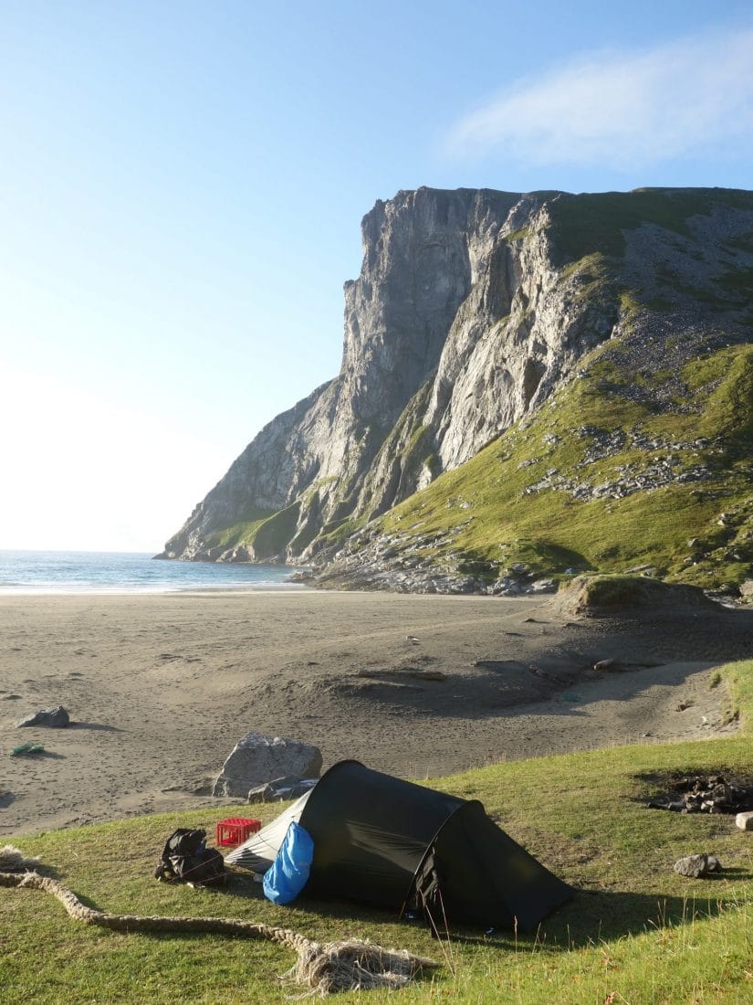
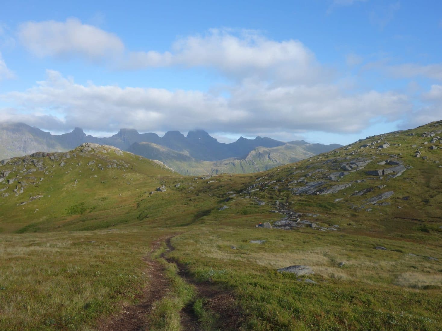
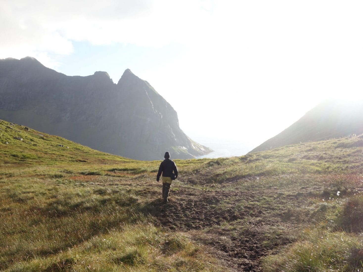
The following of the path follows the edge of the cliff and ascends gradually towards the summit. The main point of view is a little below the summit. The view is absolutely beautiful and stunning, especially at this hour with the evening light ! This will be one of the most beautiful views of the trek with the Reinebringen and the Hermannsdalstinden. We enjoy the view and the calm, there is nobody, we are well, it is a beautiful moment.
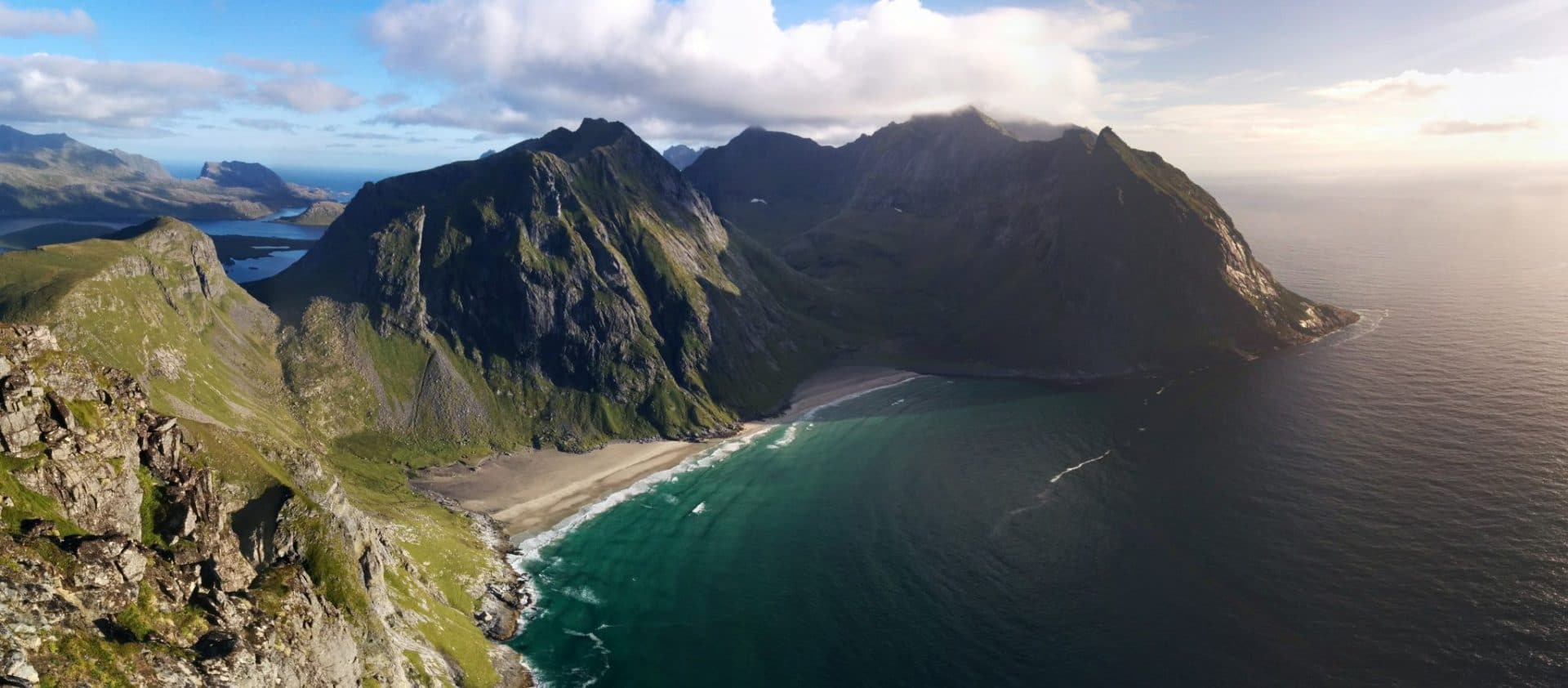
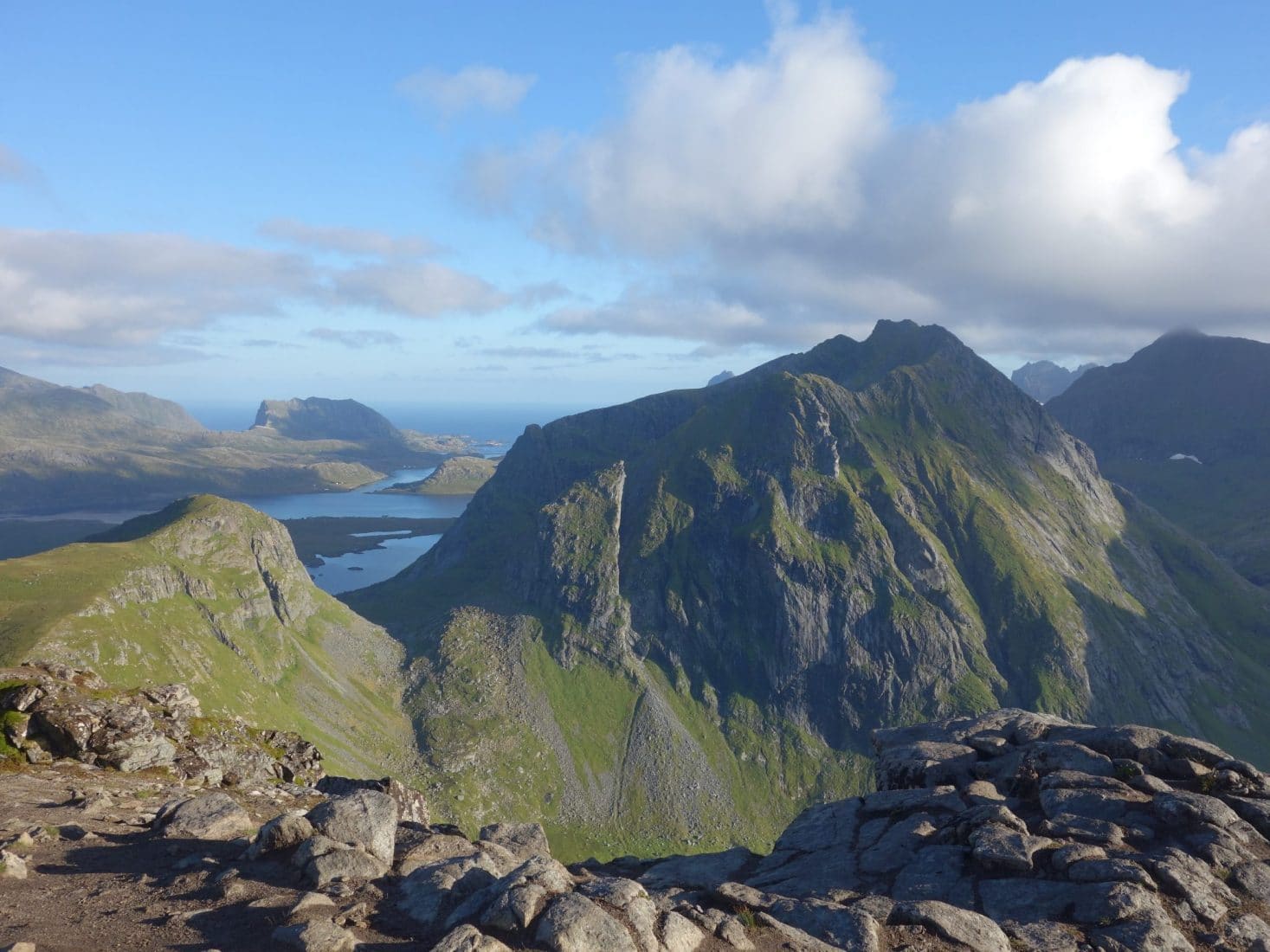
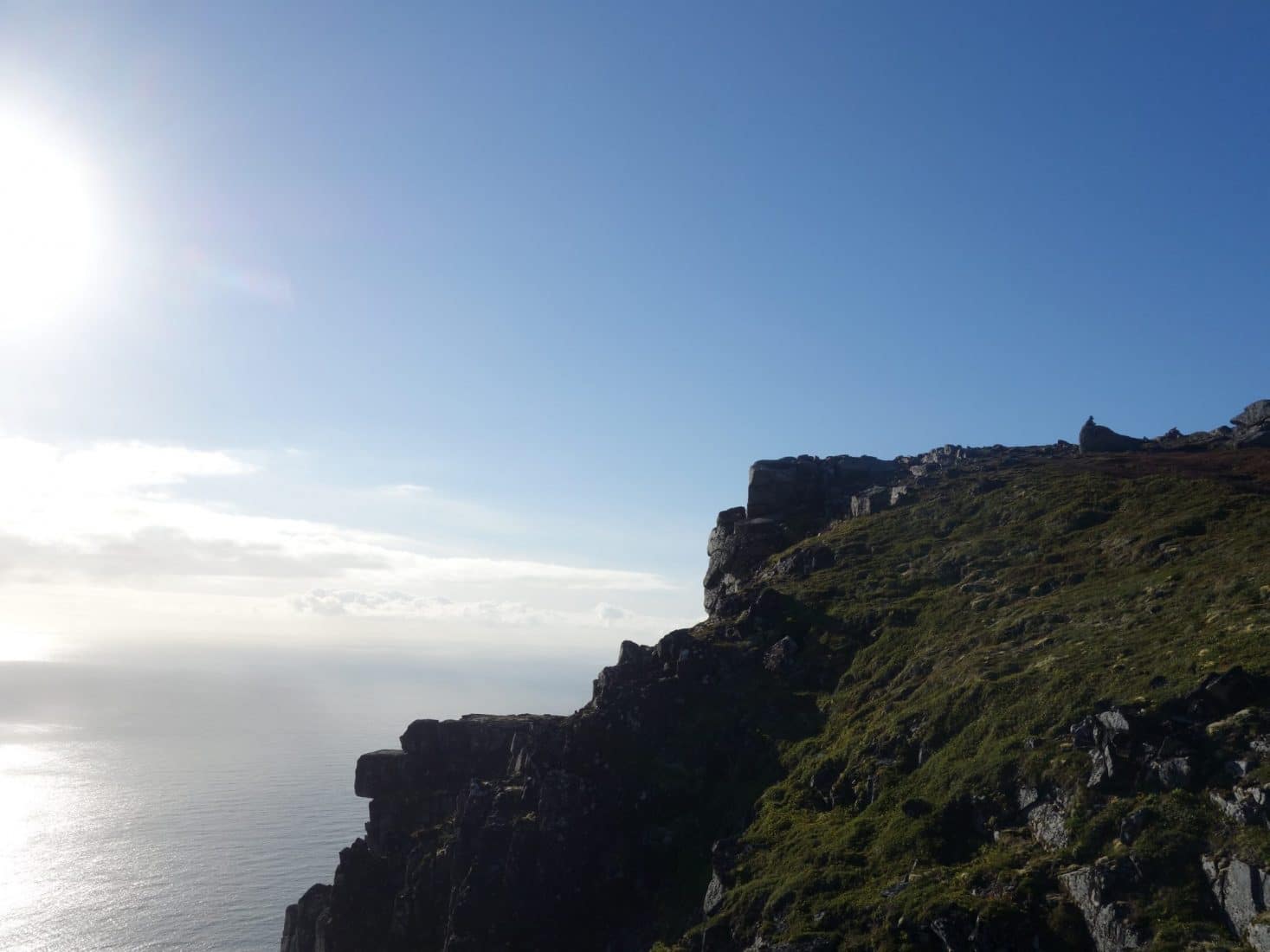
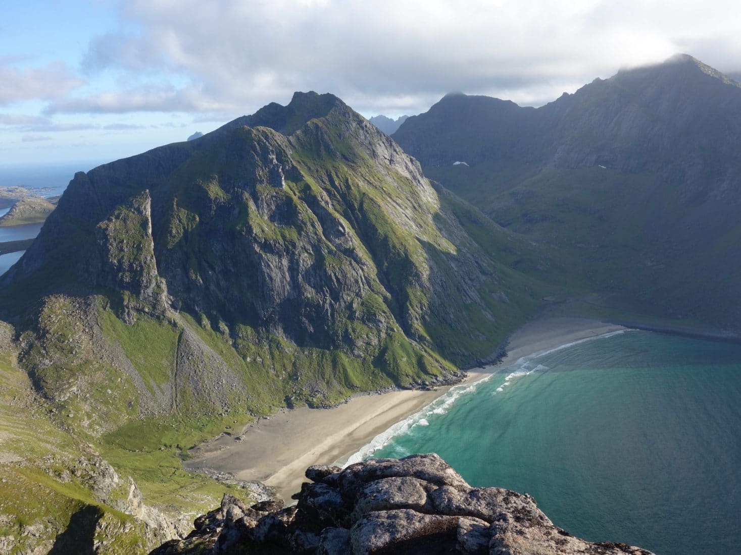
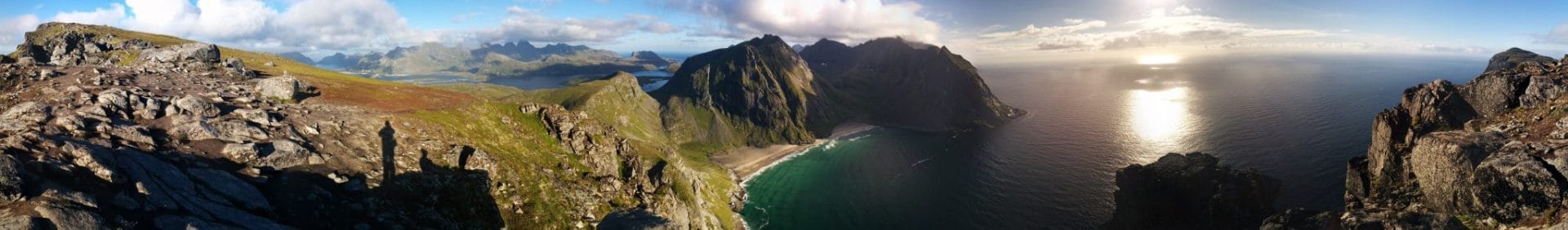
We begin the descent which will be very fast obviously. The end of the day will be peaceful and beautiful on the evening atmosphere. It is only four days that we are here but Svolvaer and France seem already far away.
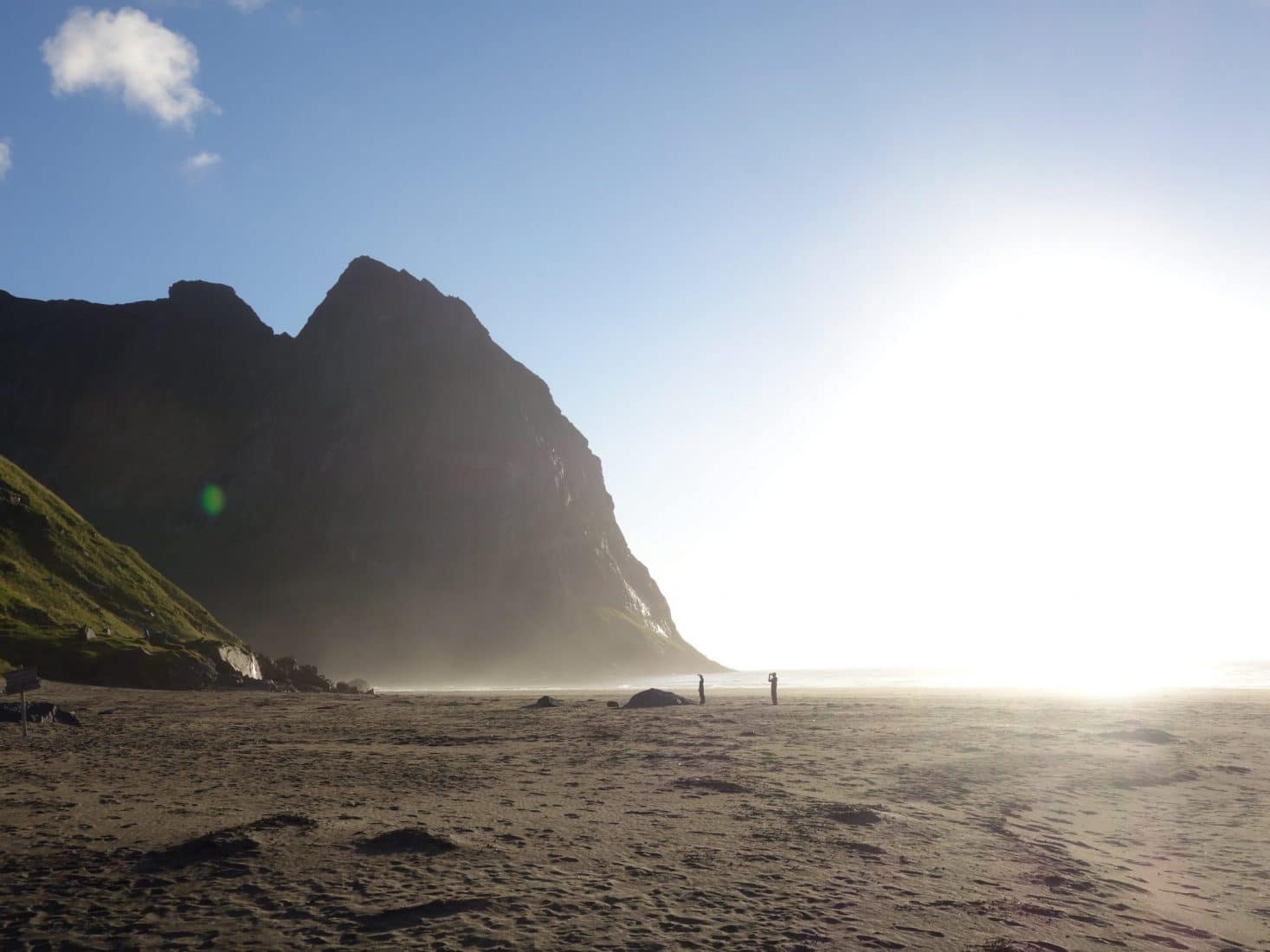
Day 5 : from Kvalvika to Reine
Pleasant awakening by the sea, although the surrounding mountains hide the sun. So it’s a fresh awakening this morning. We get ready to go and resume the ascent to the pass. The rocks are a little less slippery than yesterday. We arrive quickly at the small pass, we already cross some people who come to make the ascent of the Ryten.
Last look at the beach that will have been one of the most beautiful places of the trip. We continue on the descent which, it is always well slippery and damp. The schedule of the day is to go to Reine, once on the spot we will advise according to the hour.
Arriving back to the car park we head towards Fredvang. We will arrive in the small town in an not very exciting hour of walking on the road. We take a break just before the bridge series which will allow us to join the E10. We settled on a picnic area without charm. A few minutes later a large van arrives. We are starting to talk with the driver who is Norwegian. After exposing our plan he proposes us to come with him as he also goes to Reine. We accept and embarks then after having eat a piece with Ian (the driver) and his son.The road to Reine is very beautiful. The journey is high in color. Ian is a great talker and has a lot of story to tell!
The arrival on Reine is beautiful, the road passes from islands to islands suspended above the water. Reine is nested on a small peninsula. The village is built around a central square with pretty wooden houses, including a great cafe that makes delicious cinnamon rolls and good coffee (right next to the kayak rental)! There is a set of Rorbu / hotel which forms a typical ensemble.
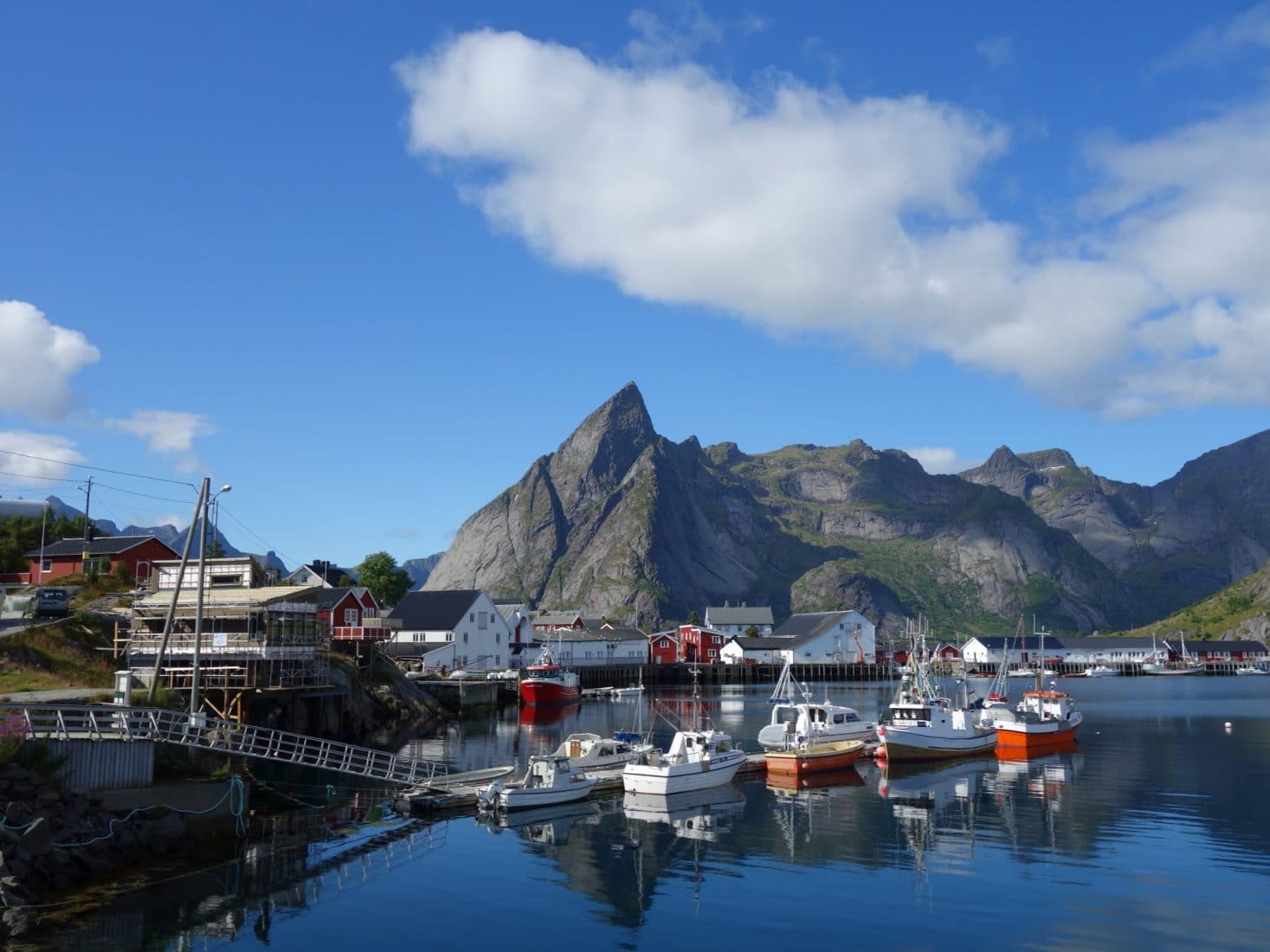
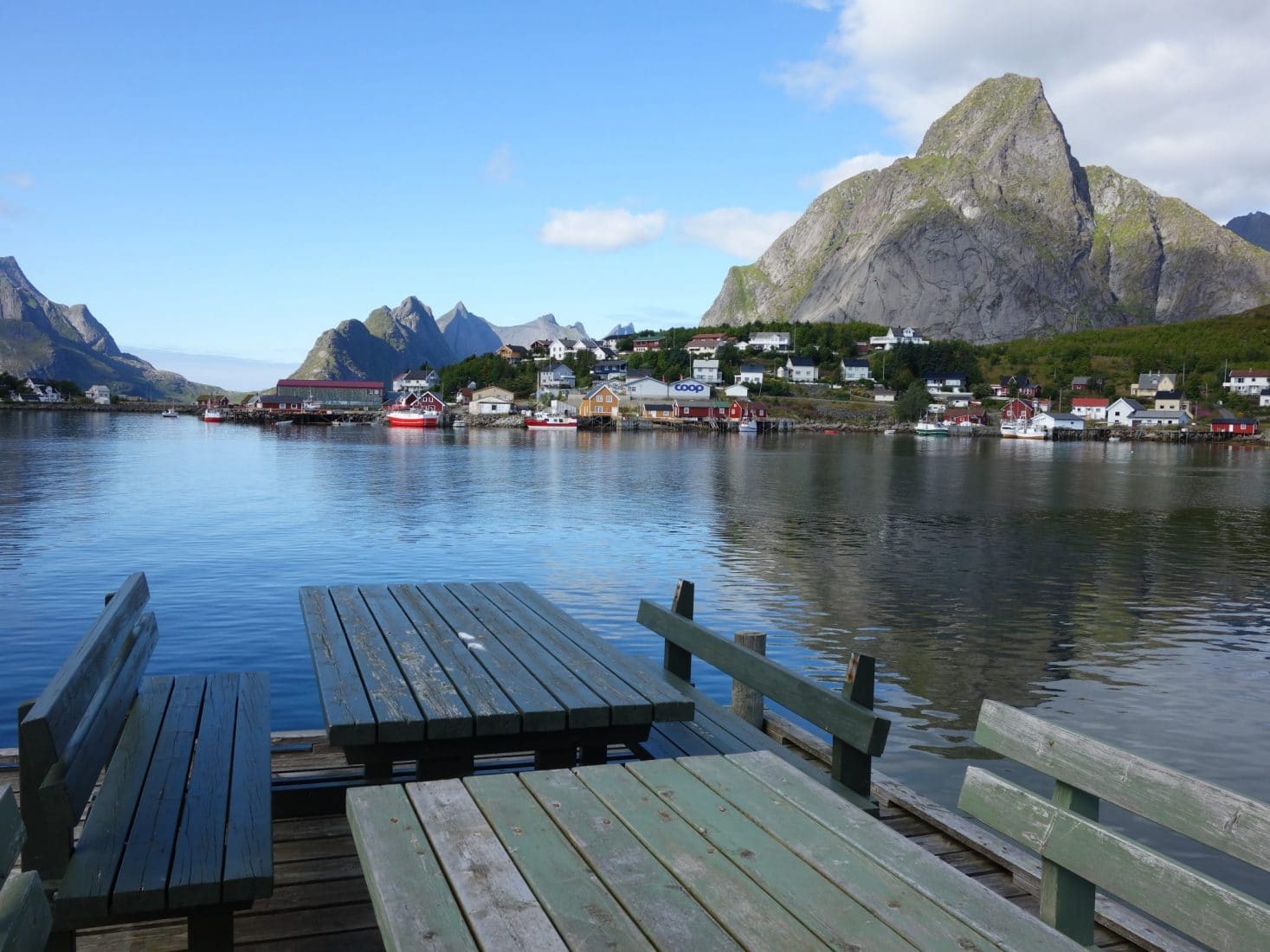
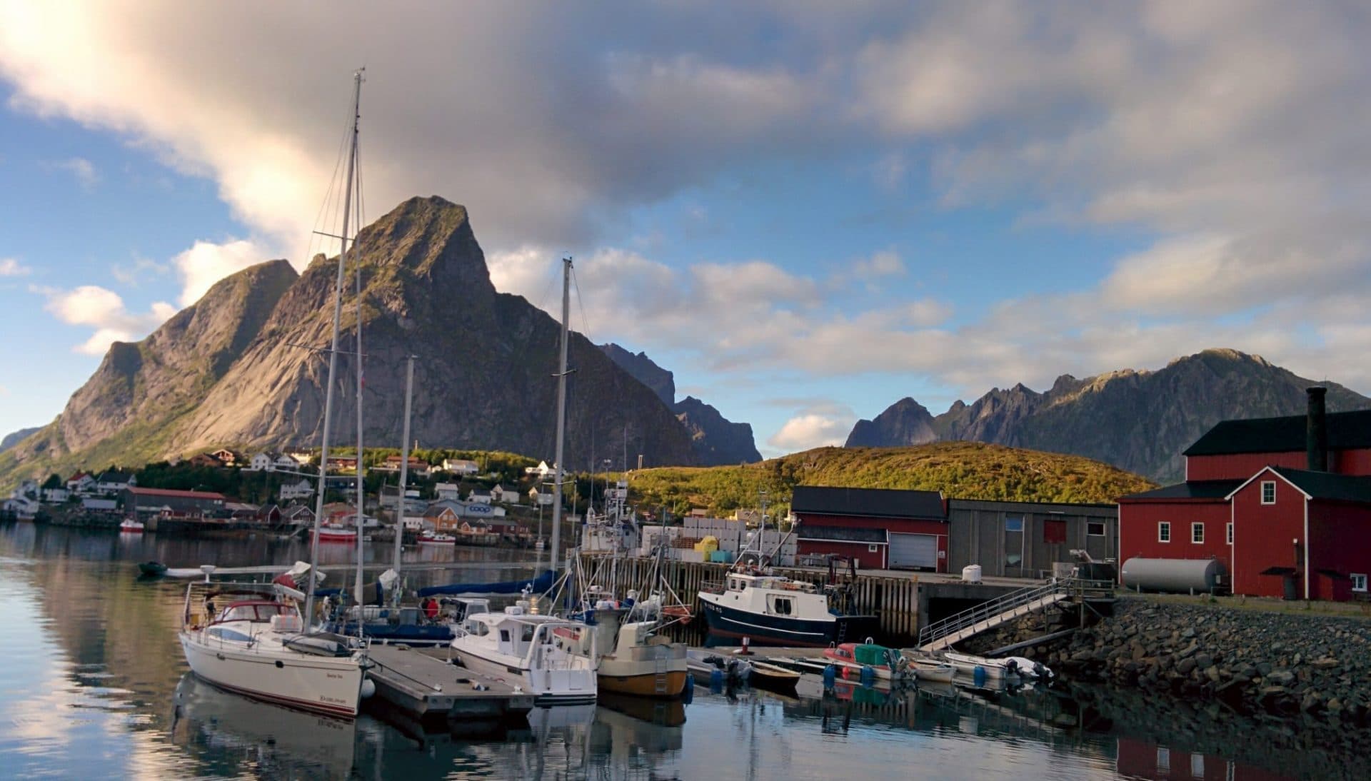
Ian drops us on the square. We had originally rented a rorbu but we are ahead of schedule and we will not be able to change nights as they are full. So we try other hotels in the area (there must be two more from memory) but the same, there are full. We are a victims of Reine’s success.
We need a roof for the night and there are not great campsite possibilities for the night otherwise. In the end we find the contact of a resident who rents rooms for the night. Luckyly she has a room left!
So we settle here for the night. On the spot, we meet Felicie, a Franco-Swiss who spends a month solo in the Lofoten. We debrief the things we have done / seen so far and we exchange tips for the future. In the evening we will dine with Ian, his son and Félicie in the restaurant of the Rorbu hotel which is good. It will be our last day “conveyed” we will do all the follow on foot.
Day 6 : from Reine to Bunes passing by the Reinebringen
A good day ahead, especially as it begins under a great sun, it is even hot. We will have an insolent luck during all the holidays on the weather …
The program is simple. In the morning we head to the Reinebringen (448m) to climb and to admire the most famous point of view of the Lofoten. Then head towards the beach of Bunes on which one will join Ian, his son and Félicie.
We set off light for our summit of the day. The beginning of the hike meets by following the road (direction Å) over 200-300m. The path is marked by a sign that warns of the dangerousness of the ascent. Regarding this panel and various things that can be read, I think that the path is quite practicable and without other immediate dangers when the weather is dry for a few days, on the other hand it is that in wet weather it can become very slippery. It should be noted that when we went hiking (in 2016), a path was being constructed in order to make the climb more secure.
We begin the ascent in the trees. The trail is good and one rises quickly. You just have to pay a little attention to the direction you follow because “false” paths lead nowhere. A little higher up the vegetation clears and the view emerges. You can see the zigzag climb up to the small pass just below the summit. It’s very hot, it’s sweaty. The heat in the Lofoten is all relative but in any case we feel the difference with the previous days. We arrive at the point of view on the other slope after this long ascent. It’s really beautiful. You can see the village below but also the road that runs along the coast and all the islands in the distance. It was well worth the effort to climb here, the reward is worth it!
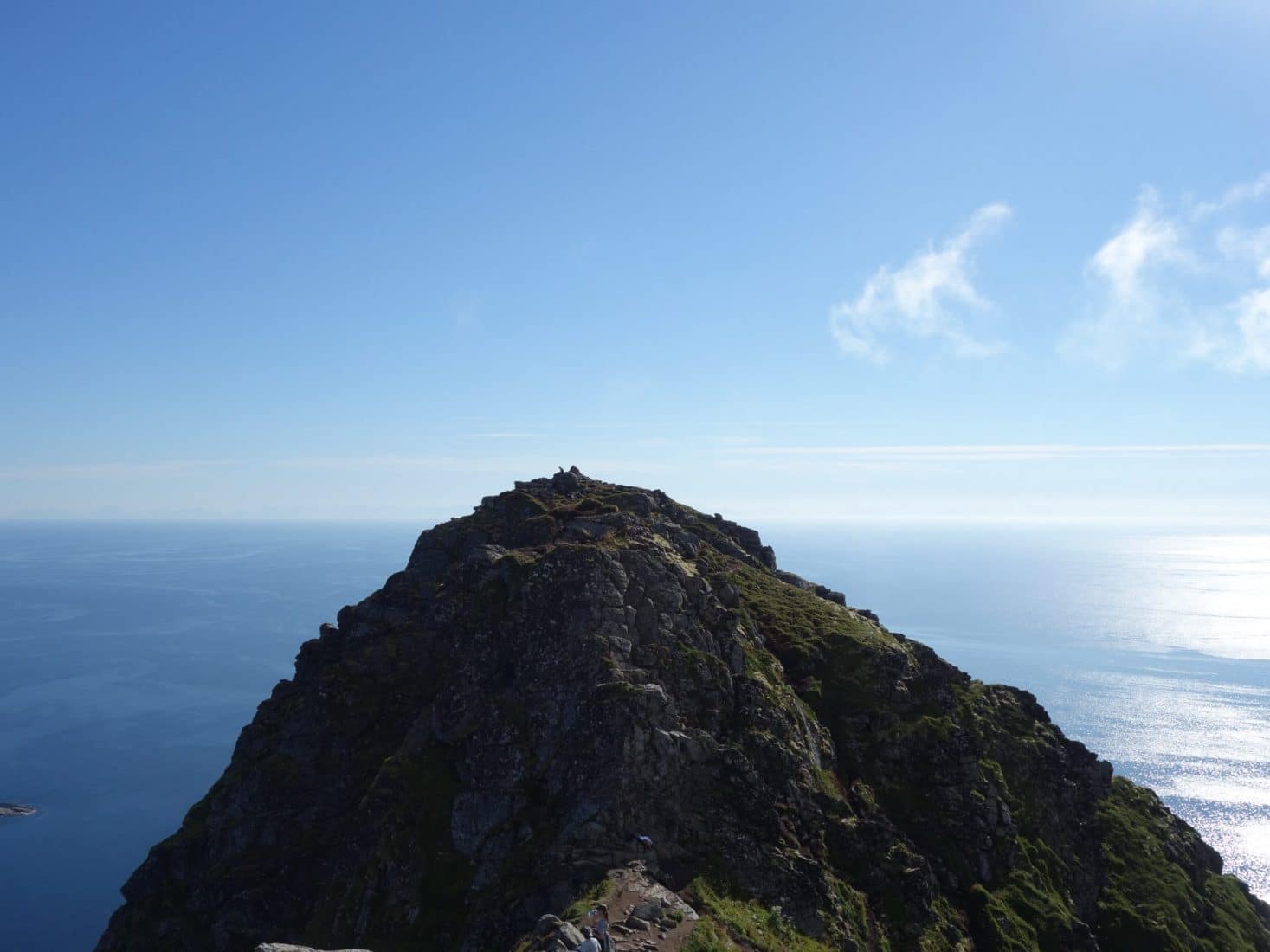
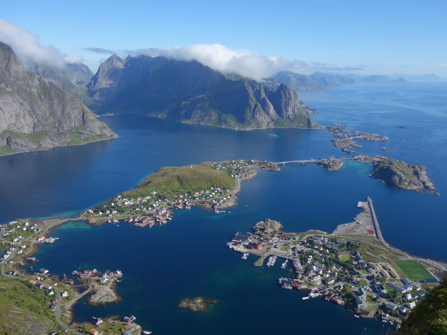
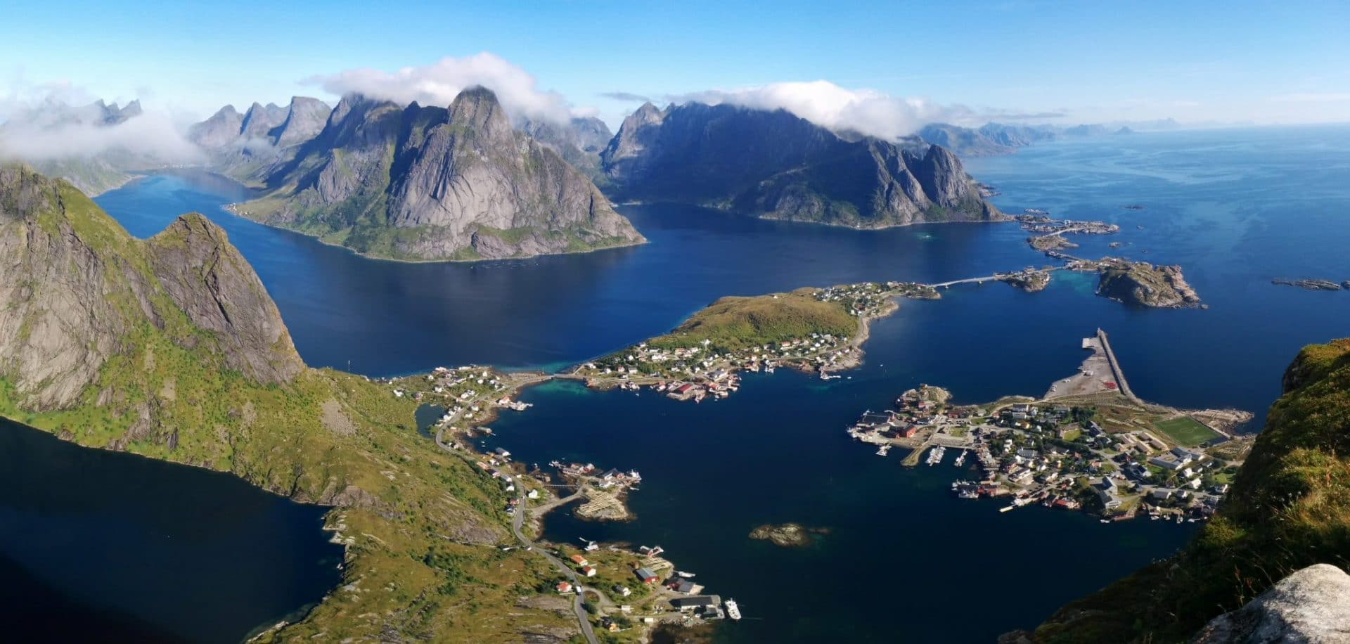
We take our time to admire the view and walk along the ridge. However, we have to think of going back because we have to take the ferry for Bunes.
You have to pay a little attention to the descent because it can slip. We meet a lot of people who climb. Some, just equipped with sneakers or flat shoes, struggle a lot in the mud …
Back in the village we pick up our bags from our yesterday room and we head for the ferry.
The ferry is an old fishing boat converted to go back and forth in the fjord. The trip is pleasant and above all fast. Our companions, Ian and Félicie will paddle 1h30-2h in kayak to Bunes.
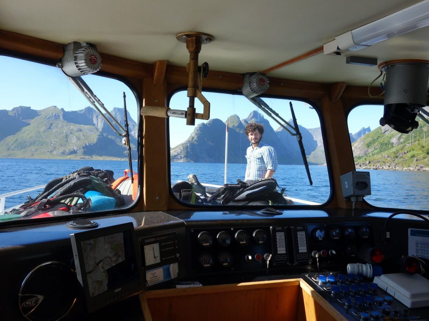
The arrival in Vinstad is done by a small pontoon on which a real crowd of tourists is waiting for the return to Reine. Luckily those are people who are just day tripping to the beach. Bunes is, therefore and hopefully, less crowded on the evening.
Walking to the beach is fast. Follow the path along the fjord and turn left just after the small cemetery. All you have to do is climb up the small hill which is within 80m and there you are !
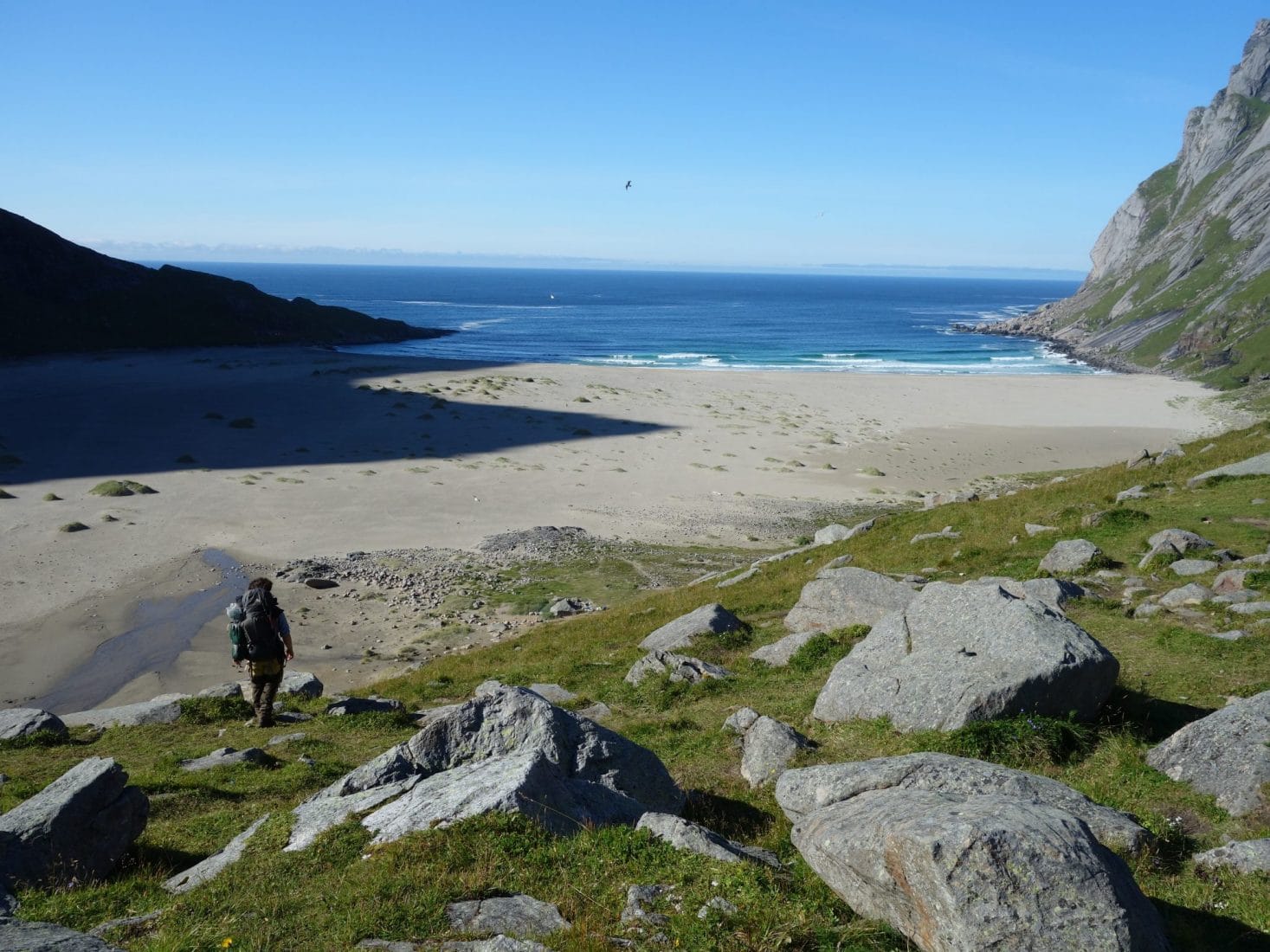
The beach is large and there is plenty of choice to settle our camp. We decide spend the night on the right part of the beach to be a bit away from people. Bunes is overlooked by the Helvetestinden, impressive smooth rock face of 510m high. The place is very beautiful and soothing. The sea is quite distant because the beach is deep. There are many buoys stranded on the beach in the middle of the scattered vegetation. This is another great place to discover.
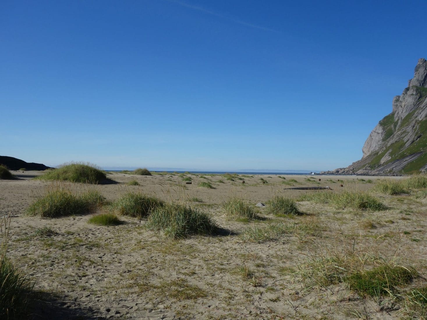
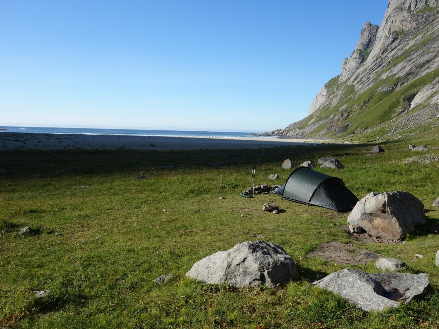
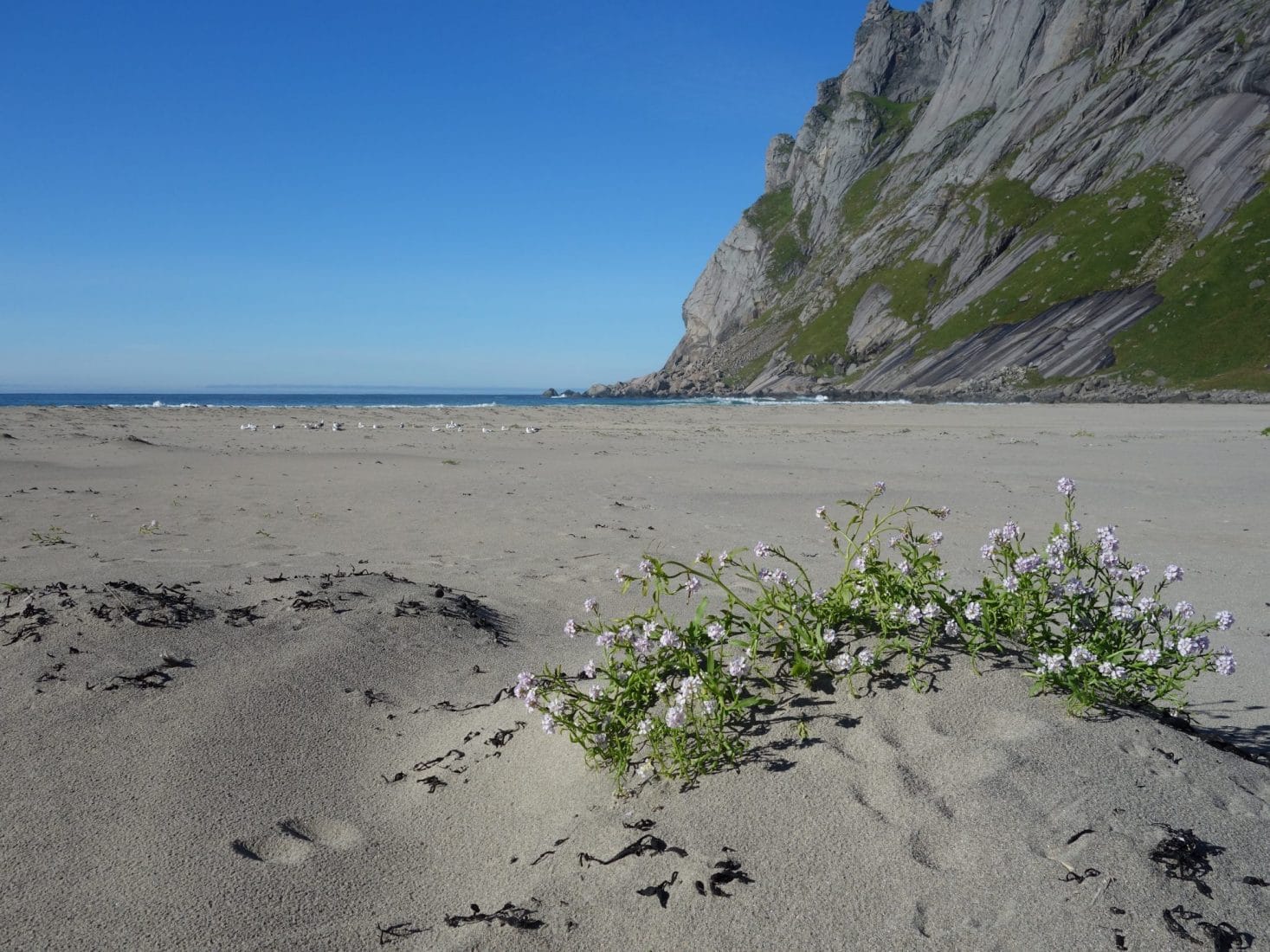
We spend the end of the day enjoying the beach and its variations as the hours pass. In the evening, Ian and Félicie will join us, but also French, Americans and other Norwegians. We spend the evening chatting around a fire with the sunset that never ends in the background.
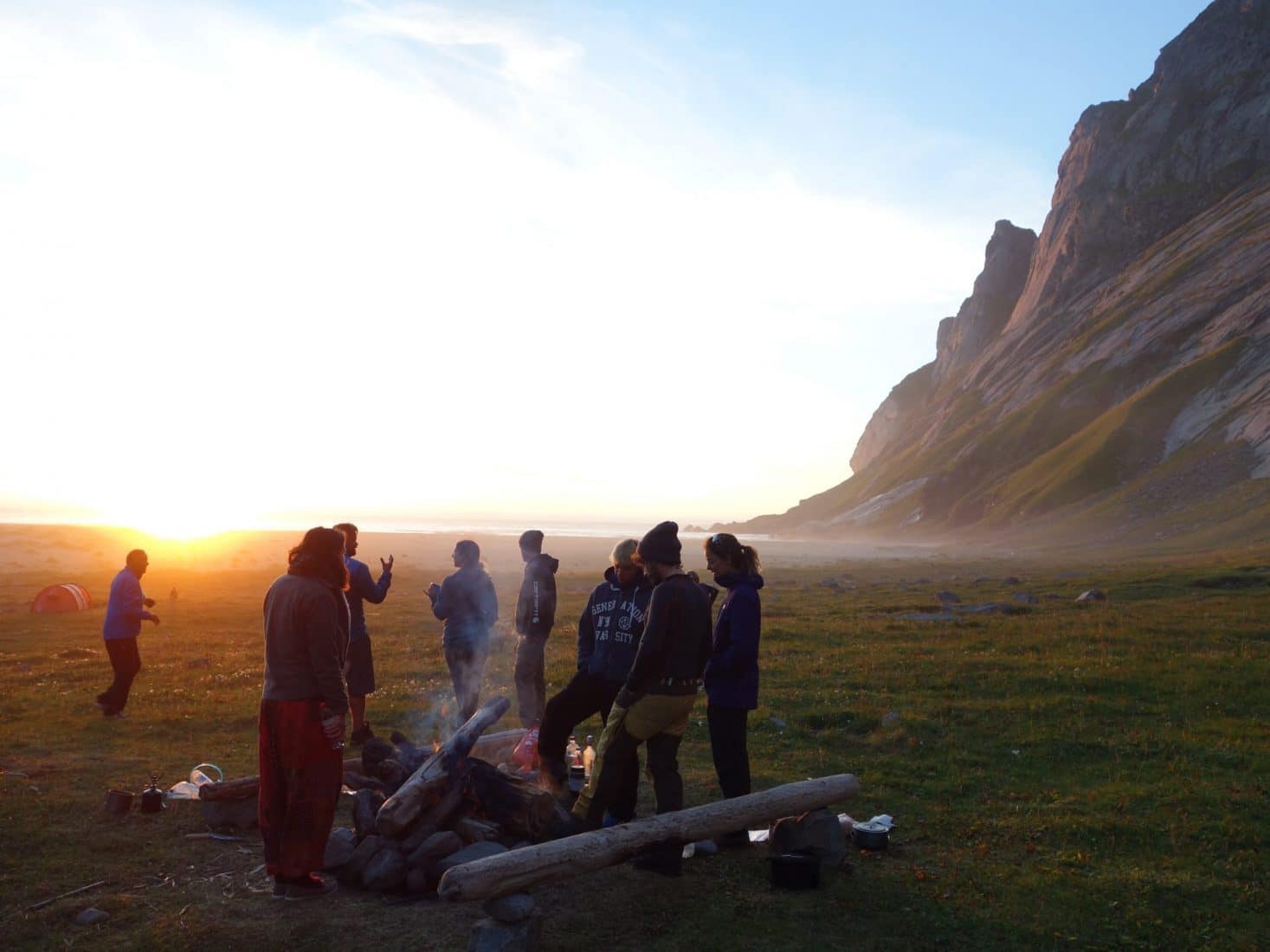
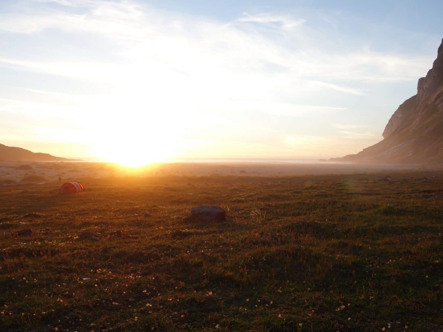
Day 7 : from Bunes to "Hill 448m"
Awakening in the shadow on this seventh day in the Lofoten Islands. But the weather is nice, which augurs a hike in the sun.
The goal today is to reach the summit of a small hill at 448m under the Hermannsdalstinden (1029m) which will be climbed the next day. Normally a small ferry will allow you to be dropped off at the Forsfjorden power station, but according to the information on the internet, the ferry does not pass this year. So we’ll have to walk around the fjord. Afterward we notice that the information that we had was not good because we saw a ferry coming from Vinstad and going to the electric station.
Relatively close on the map the station will prove to be longer to reach than expected. The path from Bunes is very bad and difficult. To reach it you must return to Vinstad and go on the right before arriving at the level of the pontoon. The path begins by following the fjord in rather spongy terrain but which allows a rapid progression. However, we arrive quickly in the “complicated” part: the greater part of the path passes by a path that slips through large rocks covered with moss and in dense vegetation. The mossy rocks, in addition to being slippery, hide holes covered with moss … So we pass the leg through holesvery easily and there, we risk getting hurt. We progress, therefore, gently, by groping with the sticks the ground before us. This portion is so long and boring. The power plant does not come close and it is really hard for a long time.
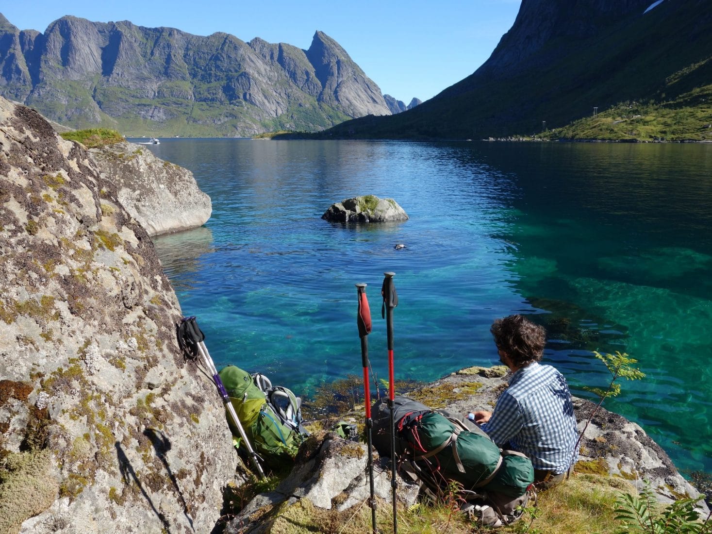
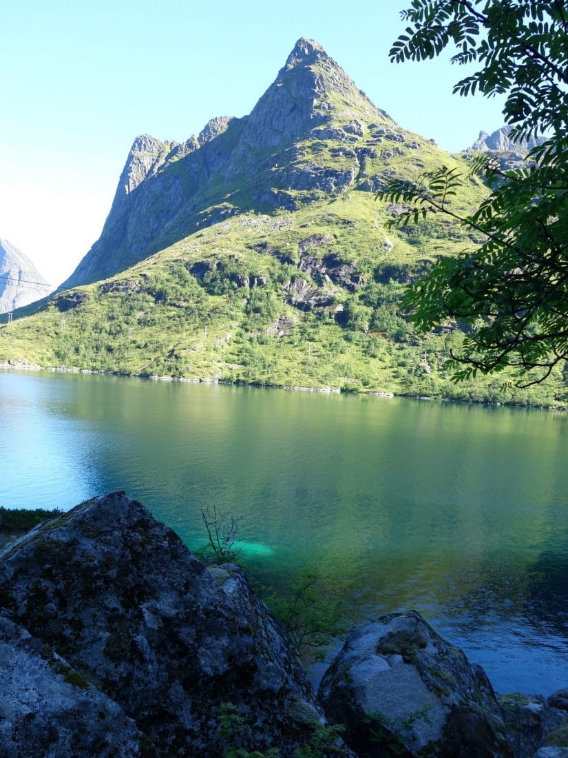
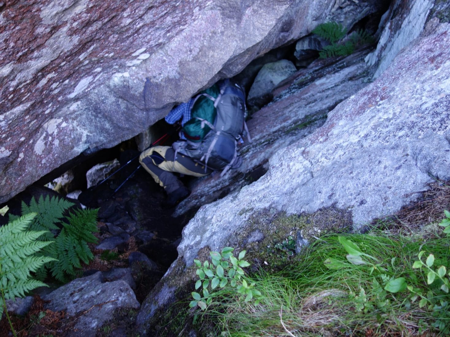
We will finally get to the power plant a little broken by the fact of having taken so long to travel such a little distance.
From the station we take to the right following the big pipe. The ground is very muddy and slippery. It climbs quickly over the fjord and the view is beautiful.
We reach the lake of Tennesvatnet once at the top of this relatively steep ascent; from there we take to the right to reach the summit of the hill that separates the lake from Krokvatnet. In the climb we meet an old gentleman who climbs with his dog (the only person we will meet today), we discover by discussing with him that it is the landlord here and that he is going to his cabin near the Krokvatnet to spend a few days with friends …
The climb of the hill is steep but we finally reach its summit. We are very tired … We find a place to set the camp. This is an arduous task because although there are a lot of flat areas, these are mostly swamps.
Finally we will find a good location whose view embraces the fjord and the Hermannsdalstinden. We enjoy this beautiful place in the sun for the rest of the afternoon.
Another long day of walking even though few kilometers were made. Tomorrow we will climb the highest peak of Moskenesoya, the Hermanndalstinden.
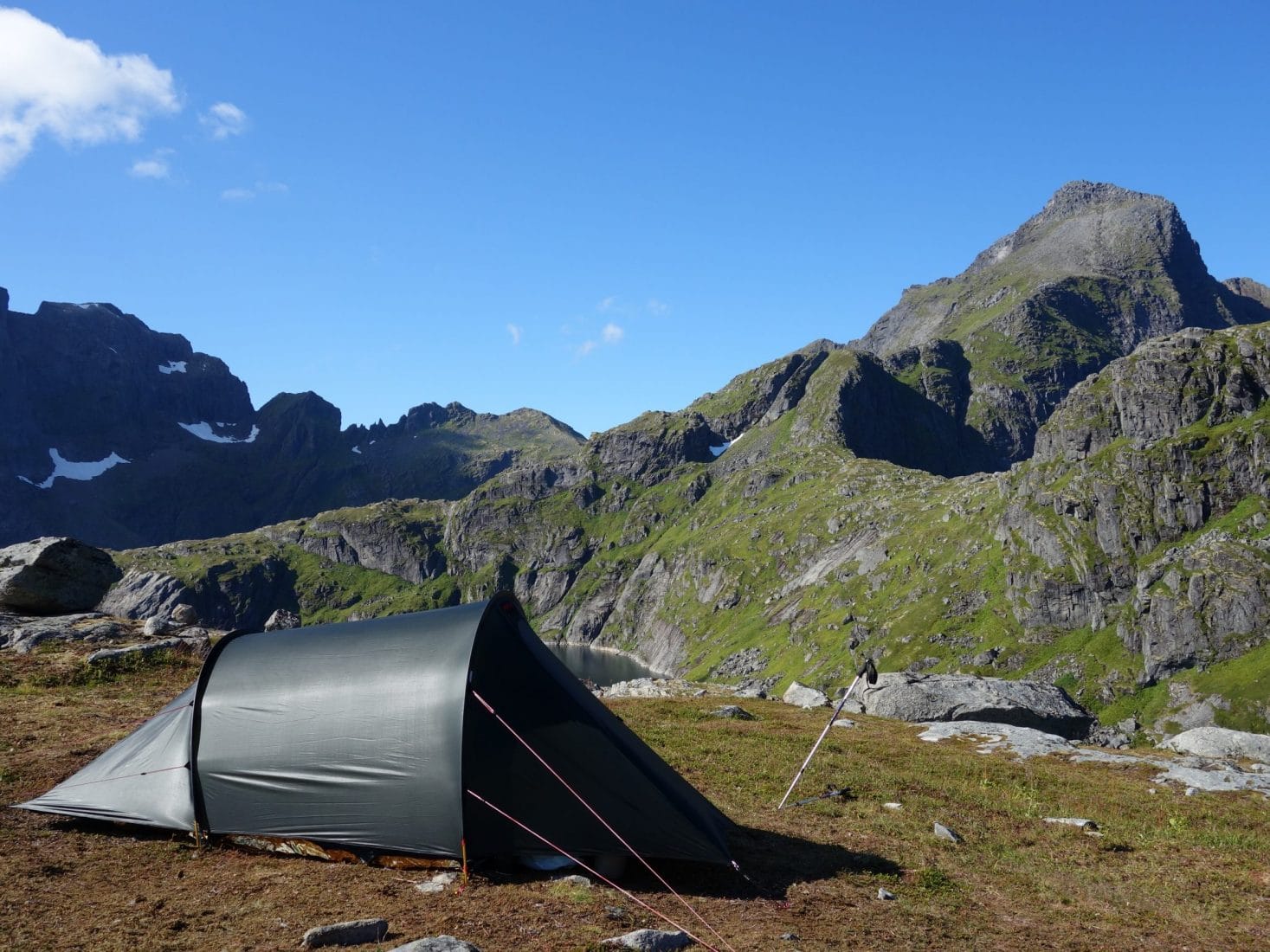
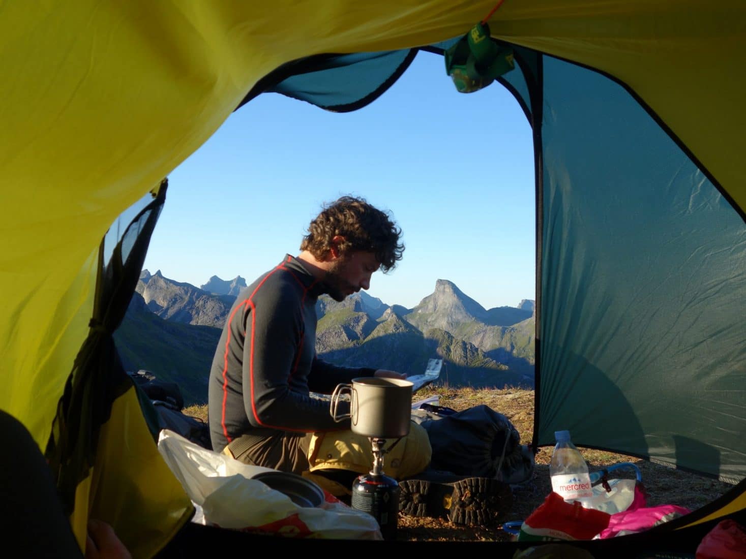
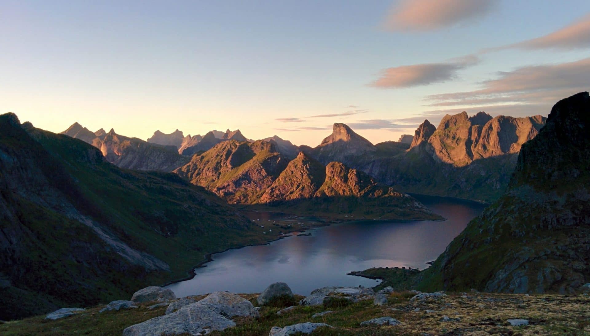
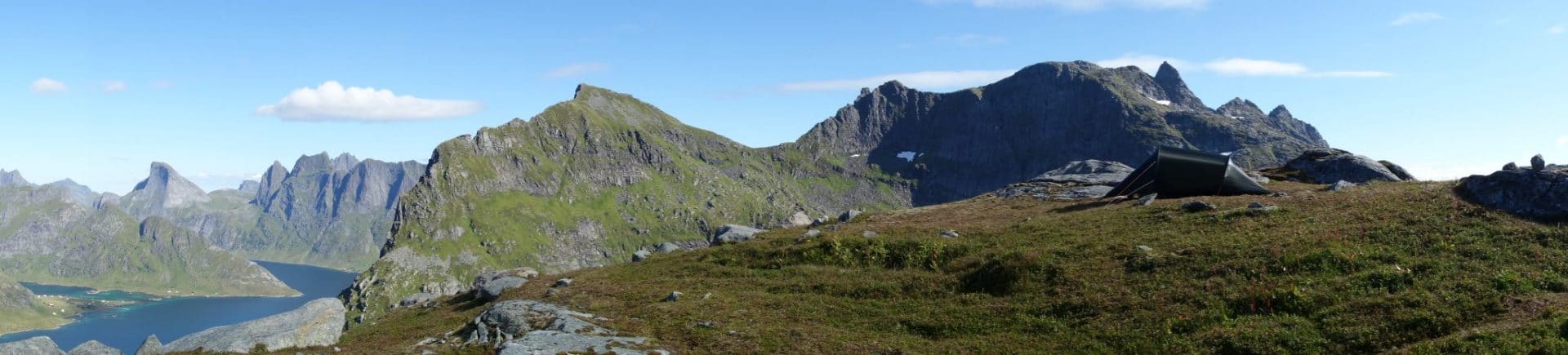
Day 8 : from "Hill 448m" to Munkebu passing by the Hermanndalstinden
We get up this morning under a great sun. Head towards the summit of the Hermanndalstinden (1029m) this morning. We leave the camp relatively early in the morning after having a good breakfast. We leave light, leaving the tent and the big bags behind and taking only the bare necessities for the return trip.
The trail begins by descending almost to the level of the lake and then back up into a relatively narrow path, muddy and lined with dense vegetation that can hide some holes. We will meet a couple who goes down and who had to spend the night higher. The view is rapidly becoming more beautiful.
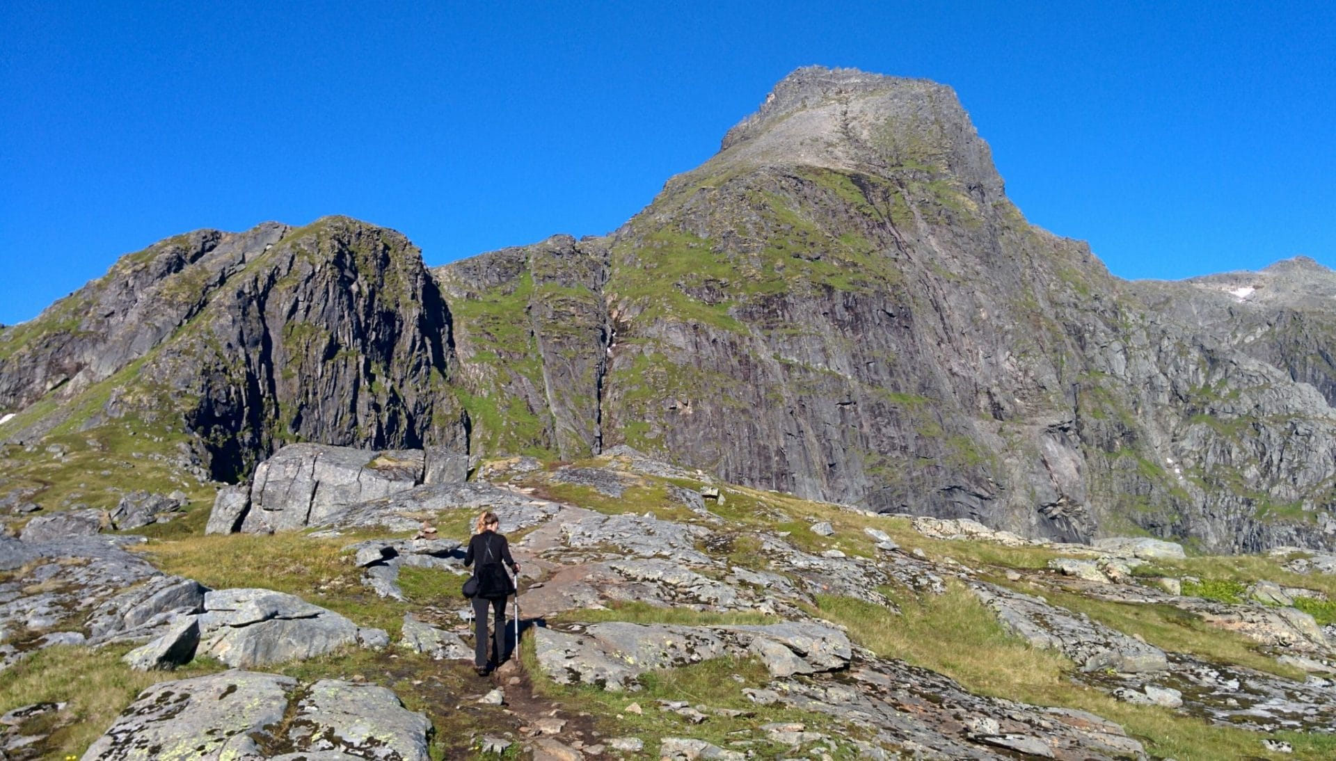
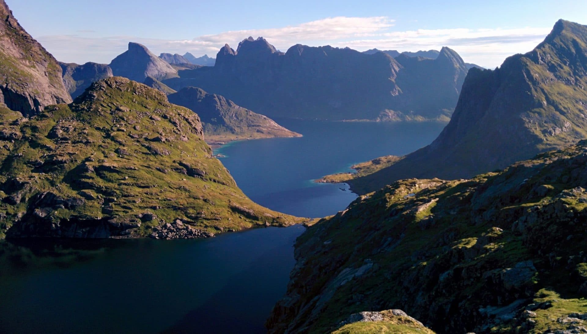
The ascent is deemed difficult especially in rainy weather. There are no difficulties on the beginning of the path but the following section can be scary if one is not accustomed to a little air and emptiness. The road climbs suddenly strongly on a ridge that leaves a lot of air especially on the left. Chains and ropes were installed to help the walker. We went there while the terrain was dry but I think that doing this portion in the rain may be slightly more dangerous and in any case we should not be impressed by the vacuum.
The advantage is that you quickly take the difference in altitude.
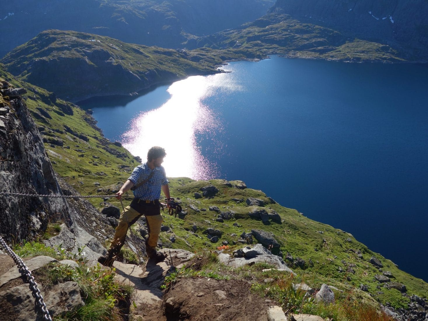
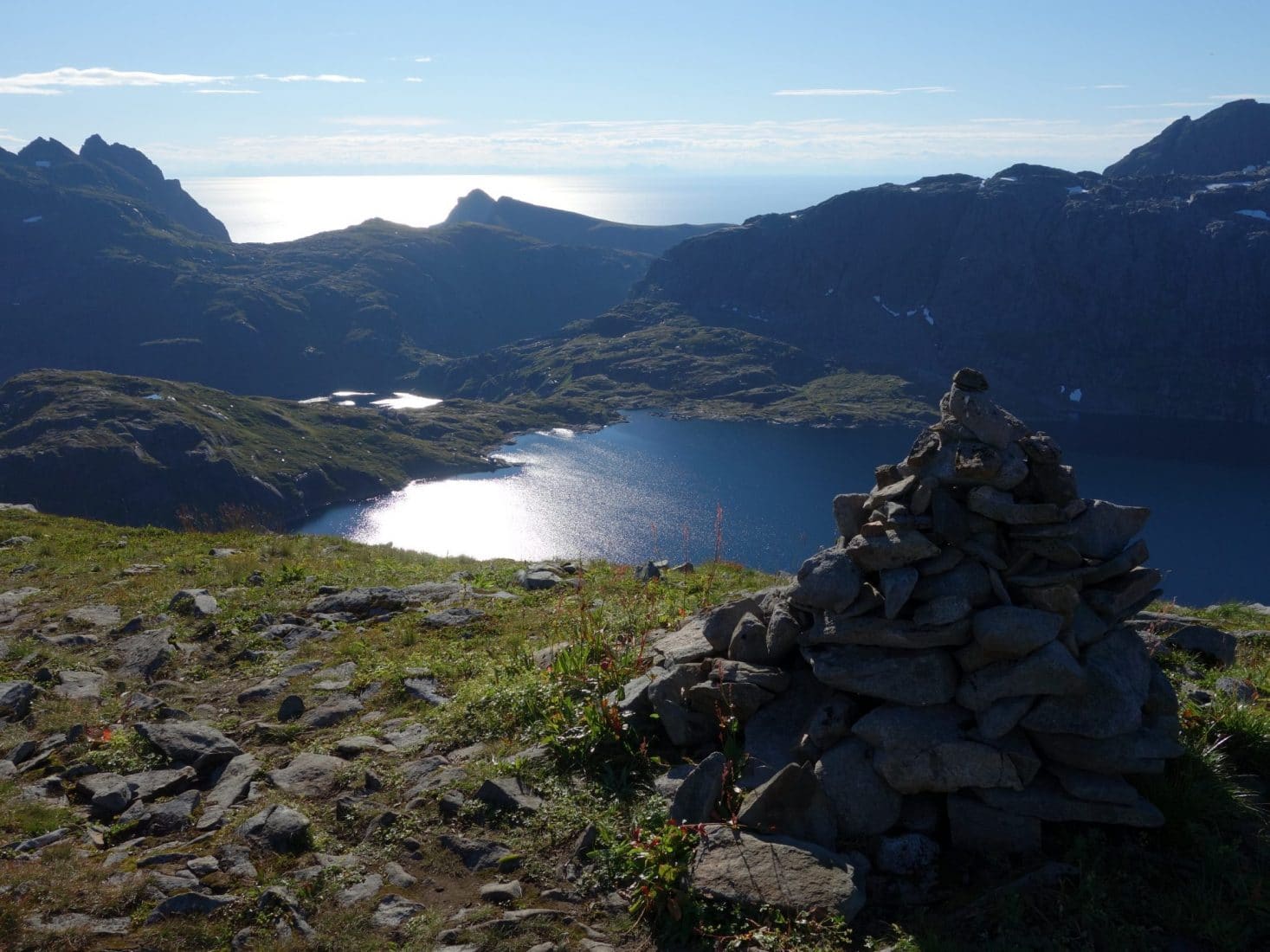
Arrived at the cairn of the previous picture the path leaves on the right. Vegetation is beginning to become scarce. The climb then continues on a path that could recall a trail of the Alps. The view is very beautiful and unobstructed, it promises for the suite.
On the end, the path is 100% mineral. We are not even at 1000m and it looks like 2500m in France. Only a few lichens remain. On this part the path becomes a little less visible and red paint points give the direction to follow. We finally arrive at a small pass (very windy when we were there) that is not yet the summit.
This one is a few tens of meters on the left and is marked by a post. To reach it you have to go through large rocky blocks that must be slippery if wet.
A few more meters and that’s it where we are at the top ! The view is breathtaking, sublime, stunning ! The surrounding area is totally dominated. To the west, the Lofoten threw themselves into the ocean with Vaeroy in the distance. To the east, the archipelago extends for tens of kilometers, far to the south one perceives the continent. It’s absolutely perfect! Surely the most beautiful view we had during the stay (with the Ryten) …
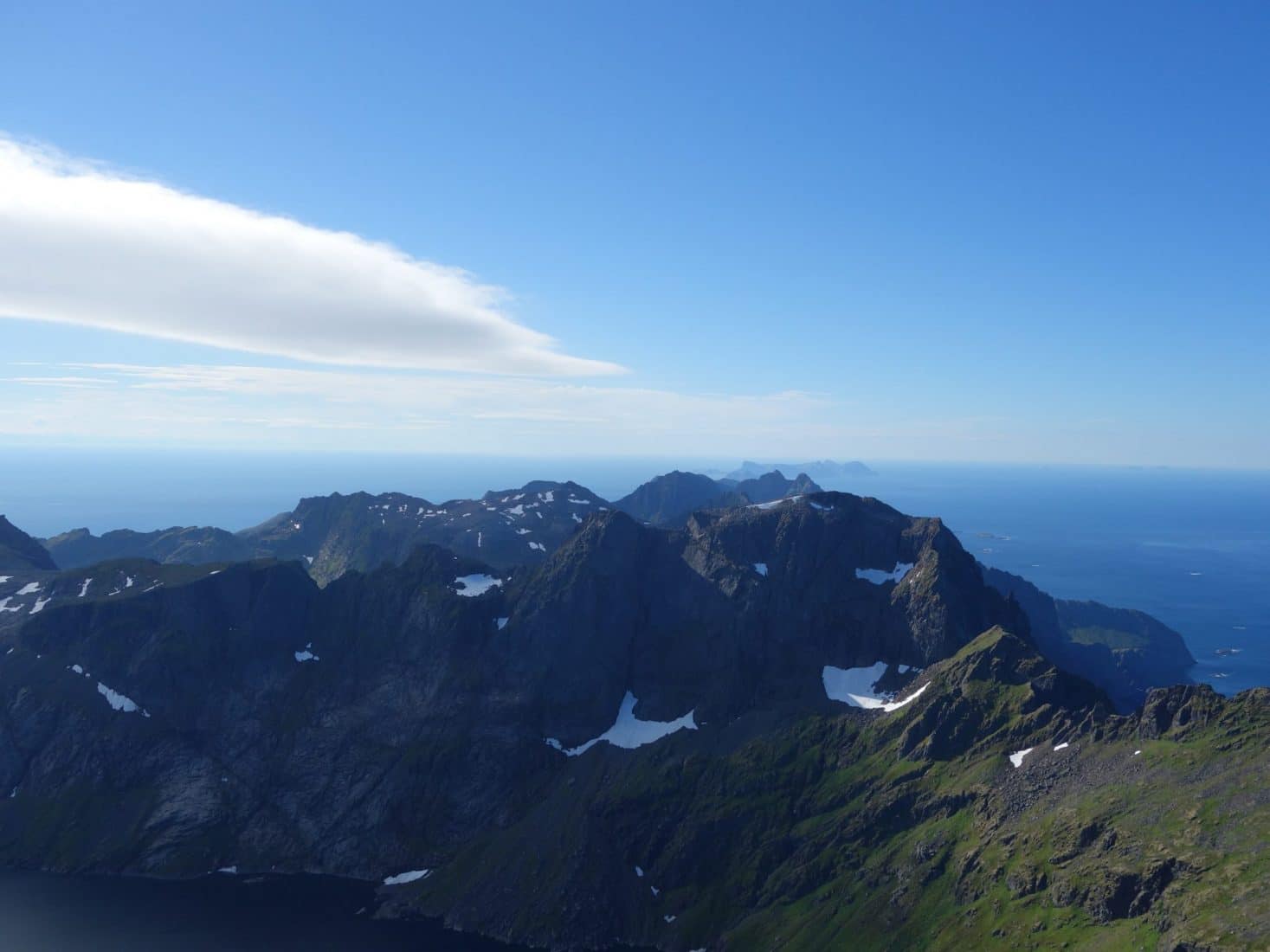
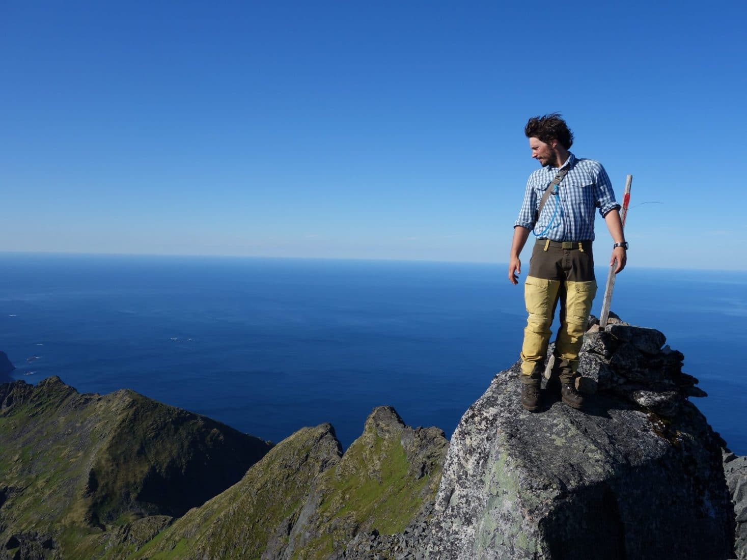
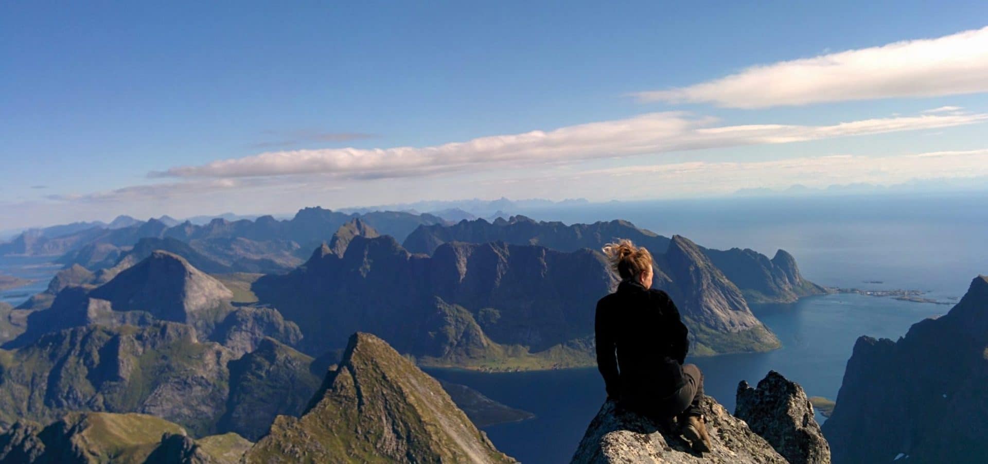
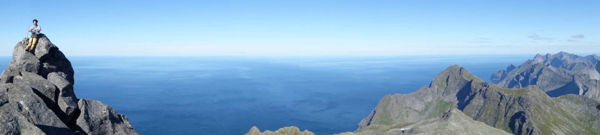
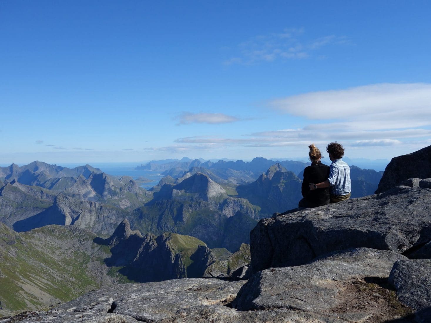
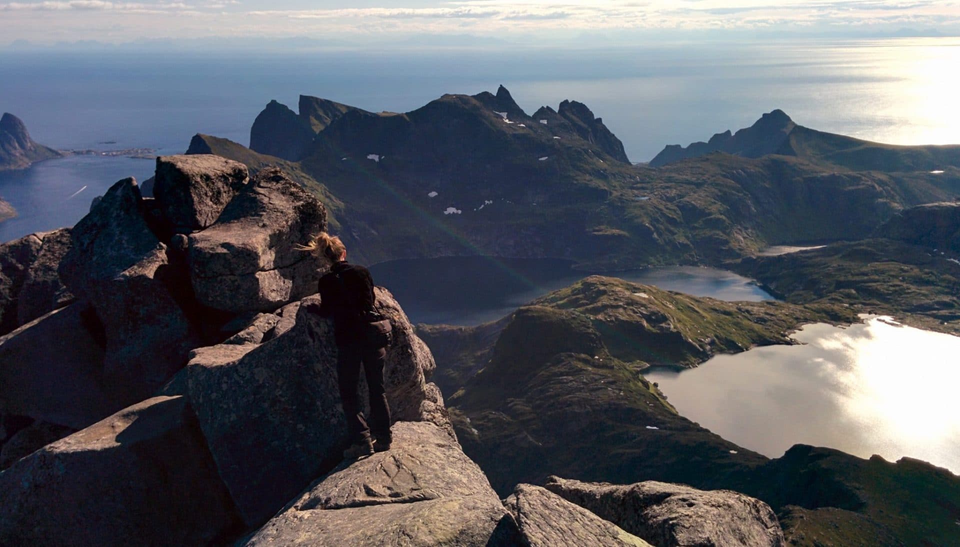
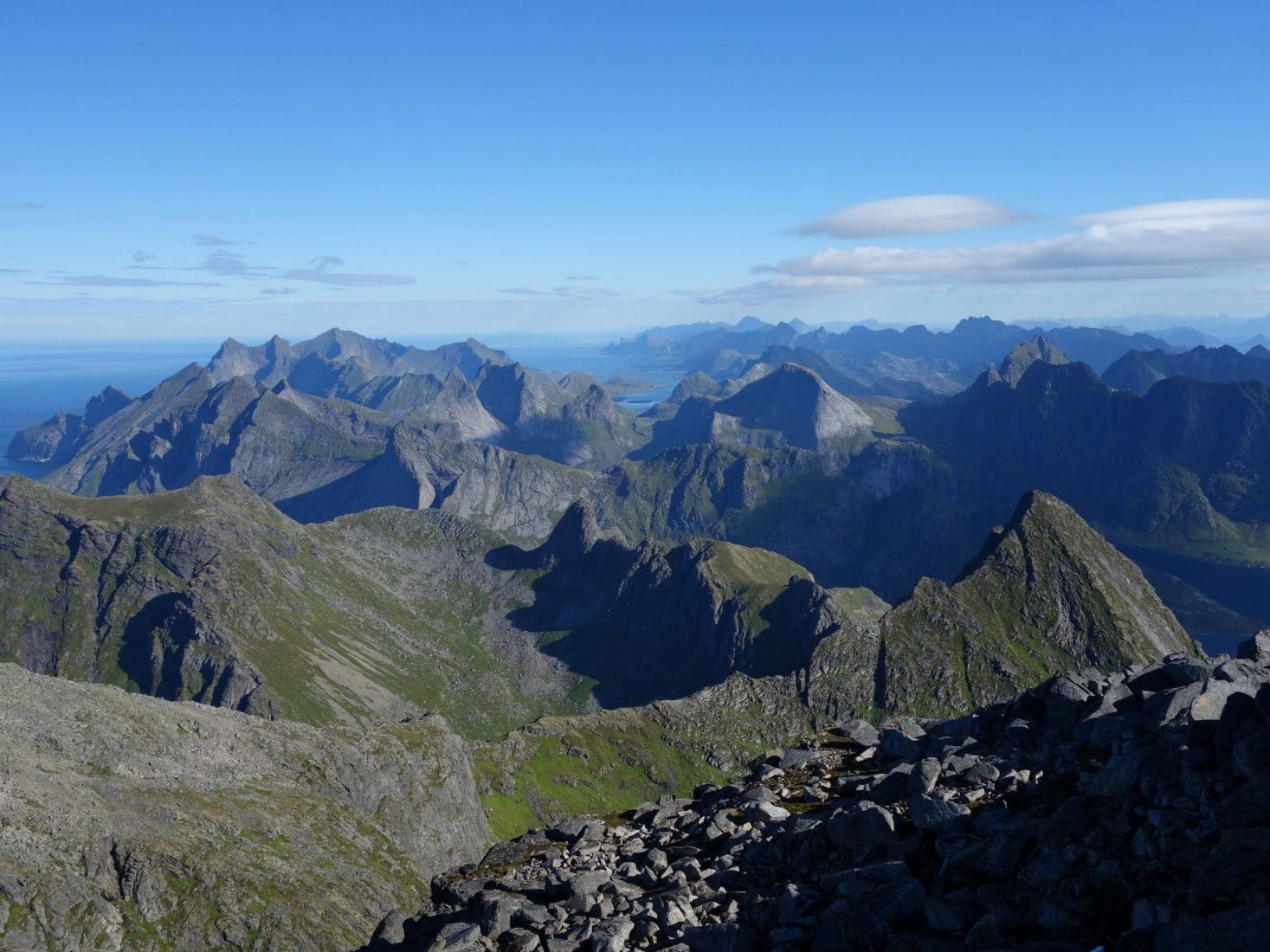
We take the time to savor the moment, alone, well sheltered from the wind.
After this moment of plenitude, we decide to go down again. We will meet some groups of people going up. Some will not pass the passage with chains and ropes.
Once back at the camp, we give ourselves a small lunch break before re-bags and head towards Munkebu.
The path is relatively simple to get there.
Munkebu is a refuge located under the Munken. Several bivouac spots are available in the area. The refuge itself is accessible only if you have the keys to be collected in Sørvagen from the DNT (Norwegian Alpine Club).
The Munken is within walking distance and offers a beautiful panorama of its summit.
Concerning the campsite, the area is quite swampy, there are pitches to put the tent but not so much in the end if you want to be dry. For our part we will choose to put ourselves on the heights to have less moisture. We have a lovely view of the refuge with the Hermann as a backdrop. We will end the day that will have been sunny all along again.
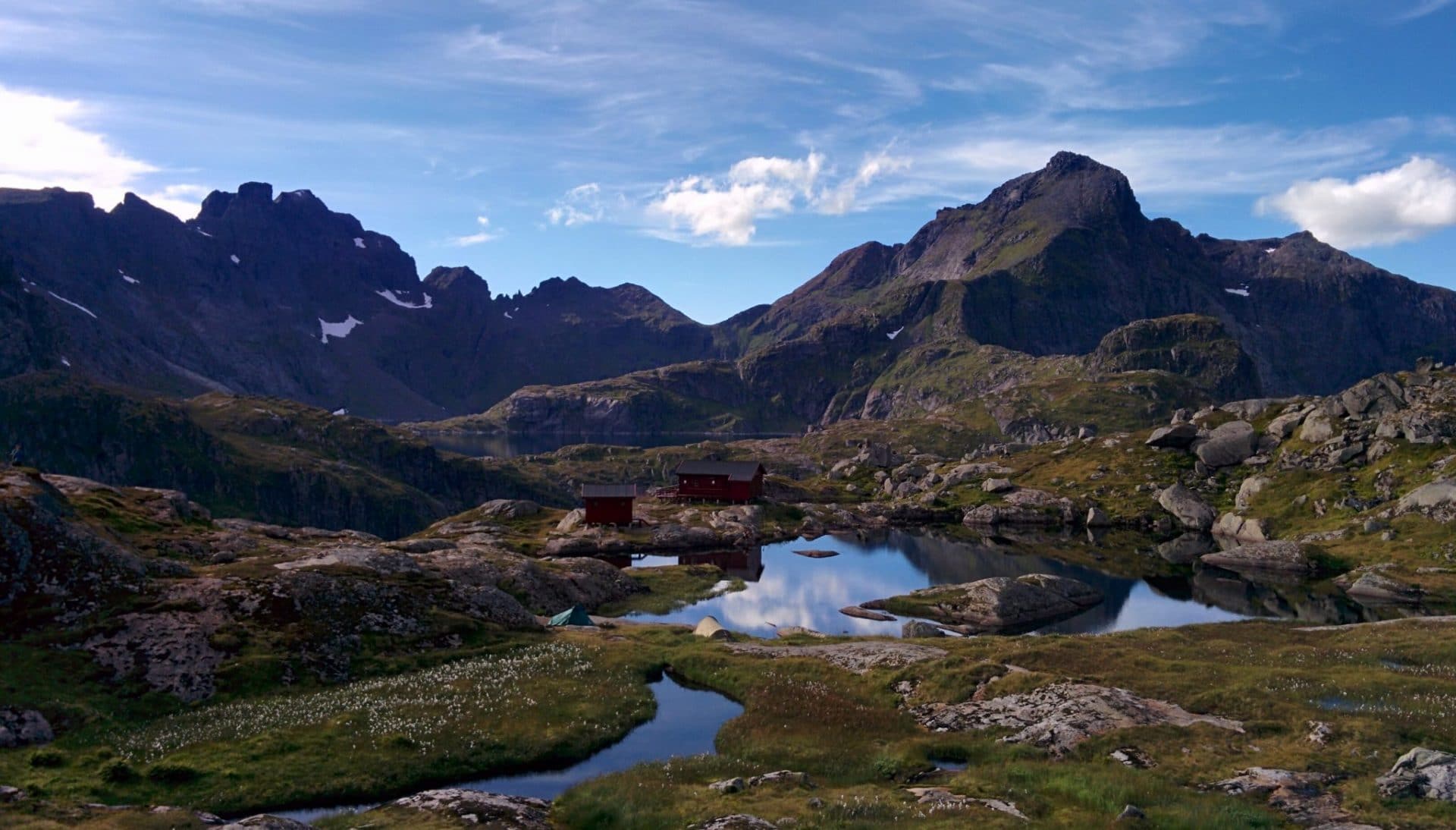
Day 9 : from Munkebu to Sørvagen
The night has been wet… Munkebu is really a beautiful place but not necessarily the most suitable for a bivouac.
So we leave the area after packing everything again, direction Sørvagen for a return to civilization.
The beginning of the path undulates between small secondary summits. We stay on the heights it is beautiful even if the weather is more sullen today. We then begin the descent which will be progressive on the beginning and quite steep at the end with some passages with chains and ropes to help; but nothing impossible. We meet a few people who certainly climb to Munkebu for the day.
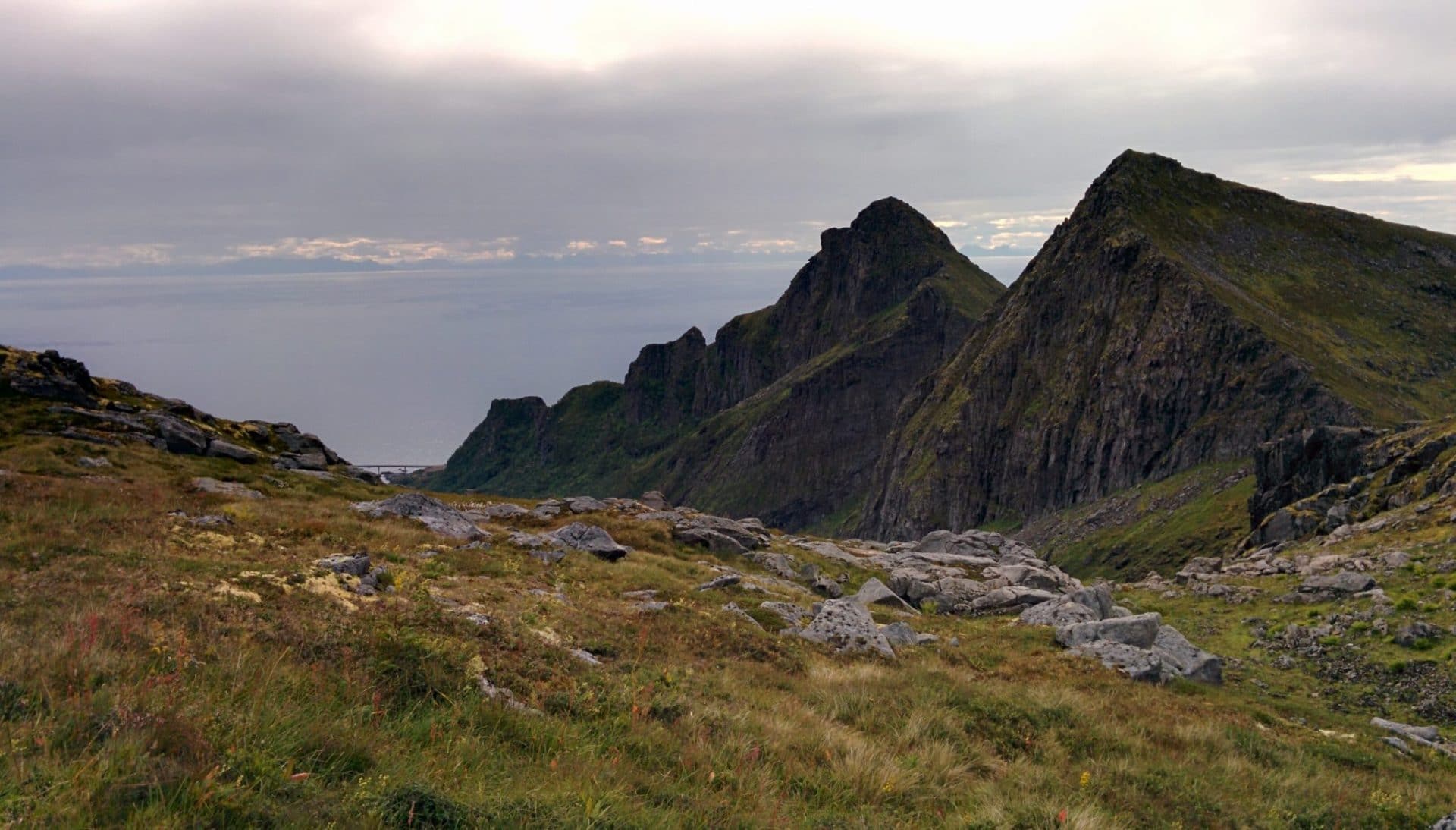
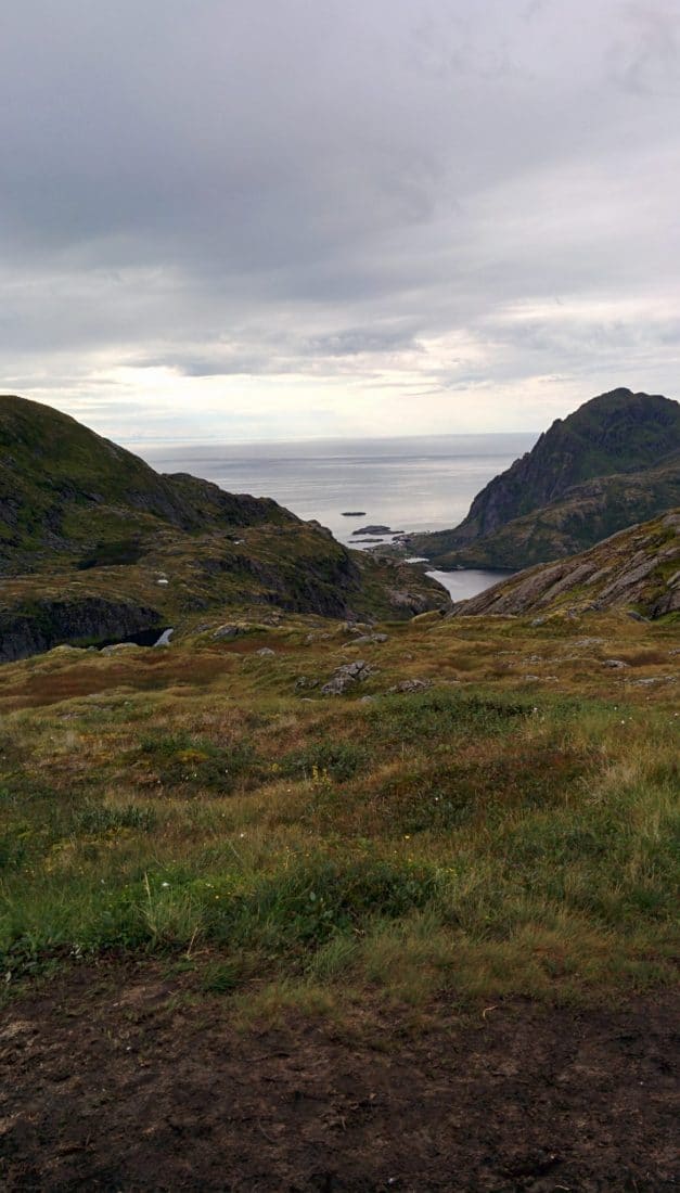
The arrival on Sørvagen is by Lake Sørvagvatnet. The city stretches along the E10. There are two convenience mini-supermarkets. For the night we choose to sleep under a roof so we book a room that belongs to the restaurant the Maren Anna. The room is not extraordinary even a bit austere … but we wanted to sleep in a bed and especially have a nice hot shower …
The day was not very busy. We will end it by a walk in the city and especially a good meal at the Maren Anna which serves a very excellent cuisine!
Some guidebooks suggest a round trip to the Hermanndalstinden from Sørvagen during the day. I do not doubt it is feasible but I think it requires a good physical condition and especially to travel light. Moreover it leaves little time to take the time which is also a pity. Another possibility is to do the opposite of our way: from Sørvagen and finish to Reine by the ferry which is already more possible in a day.
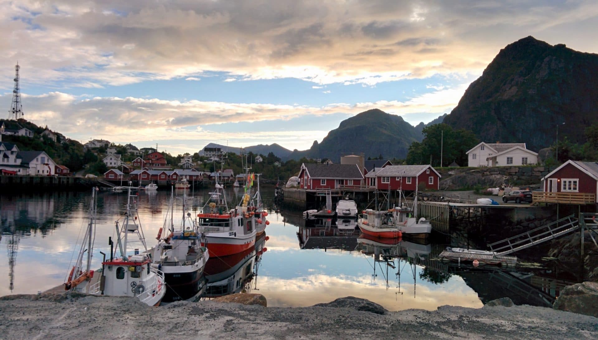
Day 10 : from Sørvagen to Moskenes passing by Å
Transition day today. We chose to leave for Væroy the next day, so this day will be devoted to the visit of Å and to rest.
To reach the small town of Å which is at the end of the E10 is relatively easy and fast from Sørvagen following the road. The scenery is beautiful along the route and fortunately there is not too much traffic. The coastline is not far from the water, passing by small local villages.
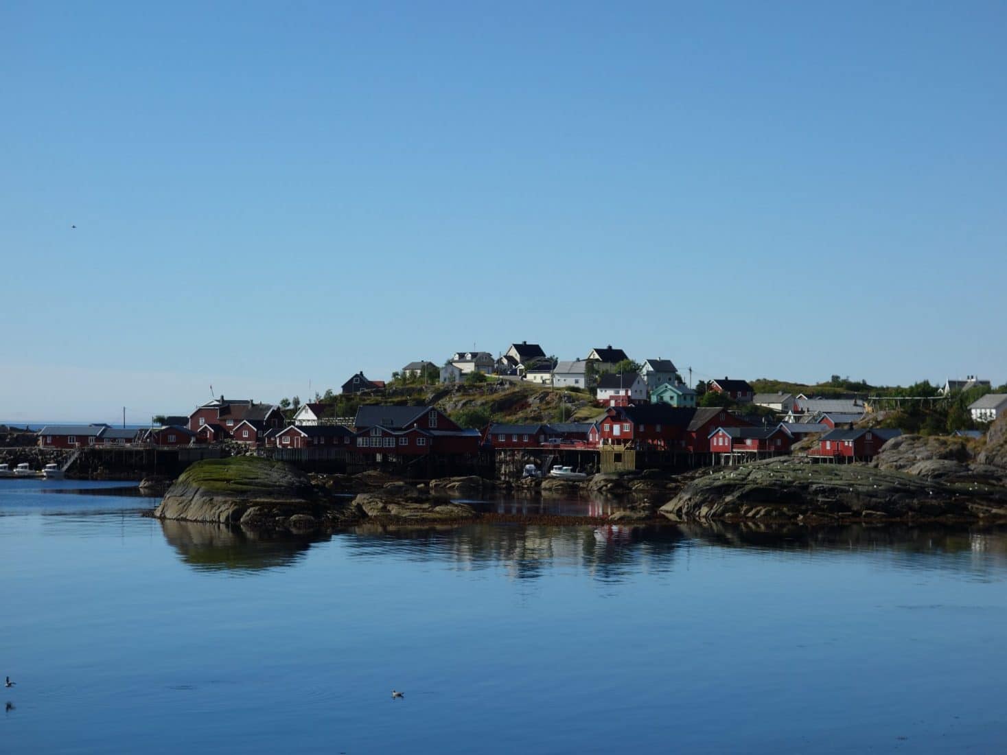
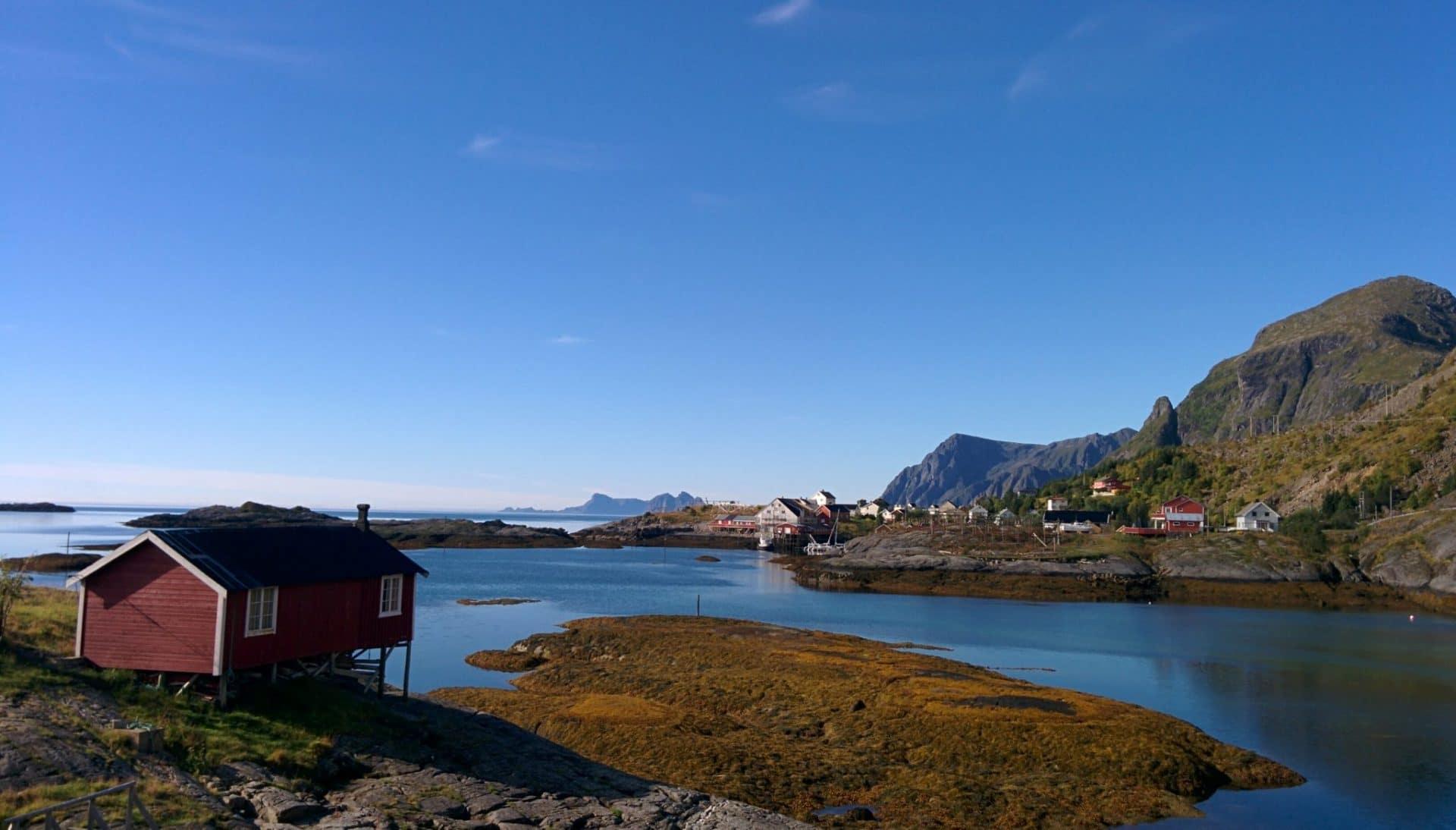
Å is a small village museum at the end of the road. We were afraid it would be ultra tourist because there is a large bus parking and that is quite well known. Luckily there are not any crowds. We will cross Félicie, our friend from Reine, right at the entrance of the village who is hicthhiking to return to Svolvaer.
We start our tour in the village by buying bread and cinnamon rolls with a coffee in the bakery of the small main square. We will then land near the water to enjoy the sun and viennoiseries. We will be joined by two groups of French with whom we will share our experiences of Lofoten.
We will take a further tour in the village. This is not very long given the size of it. The village is friendly but not extraordinary either when compared to Nusfjord.
We do not stay very long in the end. We prefer to go to Moskenes, stay at the campsite and enjoy the late afternoon. We therefore take the road on foot in the opposite direction.
Several beautiful excursions are possible from Å: one of them is the beach of Stokkvika passing by Ågvatnet Lake, another beautiful hike is the ascent of the Andstabben (514m) west of town.
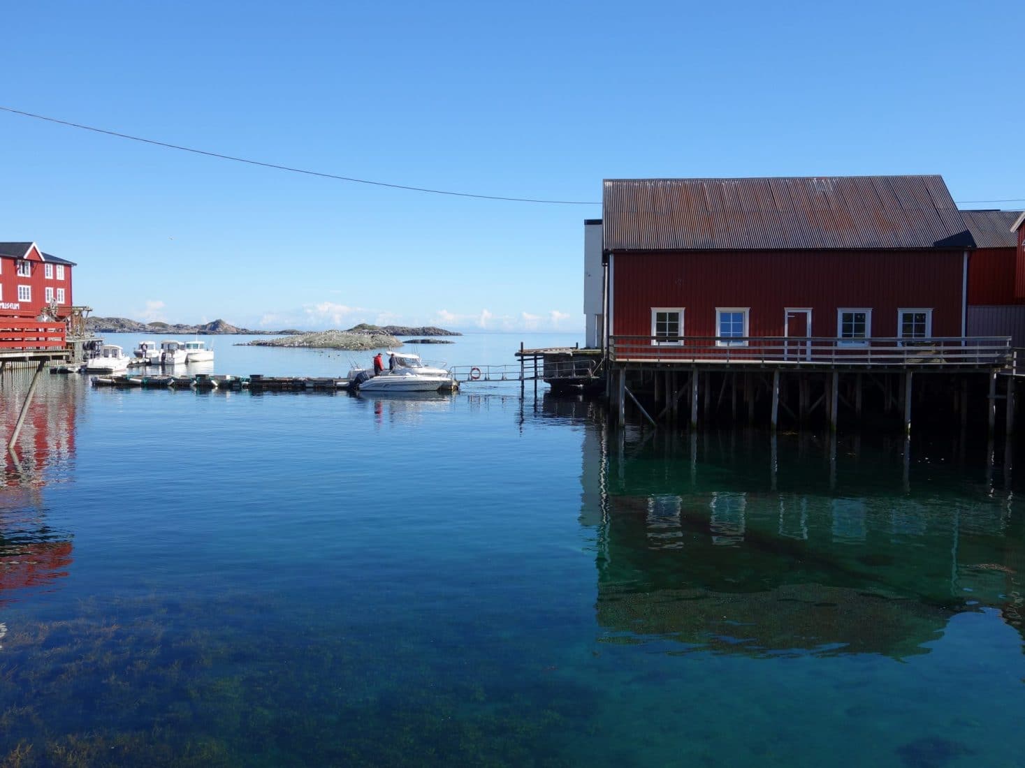
As we take the ferry tomorrow in Moskenes we choose to spend the night at the small campsite of “Moskesnes Camping As”. The place is ok but we can take a shower, do a little laundry and have a beer under the Lofoten sunset. The end of the afternoon and the evening will thus pass calmly. Tomorrow we leave the main islands of Lofoten in the direction of Vaeroy.
Days 11 & 12 : Vaeroy
Before we talked about Vaeroy as such, I wanted to explain why we were there. First, we hitchhiked with a couple who had spent a few “unforgettable” days on the small island, another couple who drove us originally from the Lofoten and had sold us Vaeroy as “special” in the good way; finally some photos and his isolation had finished persuading us to go there. We will see.
To reach the island, we start from Moskenes via the ferry which then reaches the mainland (via Røst). The crossing takes about one or two hours.
The arrival will be made in a cloudy weather on a concrete landing without charm… There are not many people who come down or not many people who get on the ferry … Let’s see in the village of Sørland.
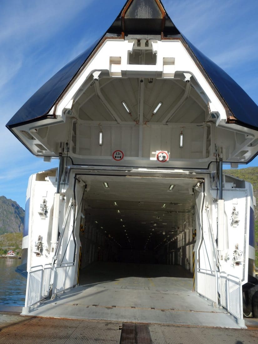
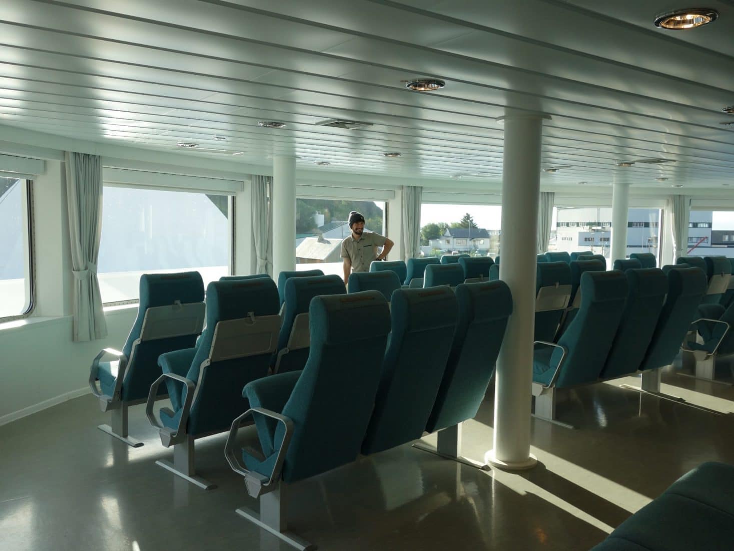
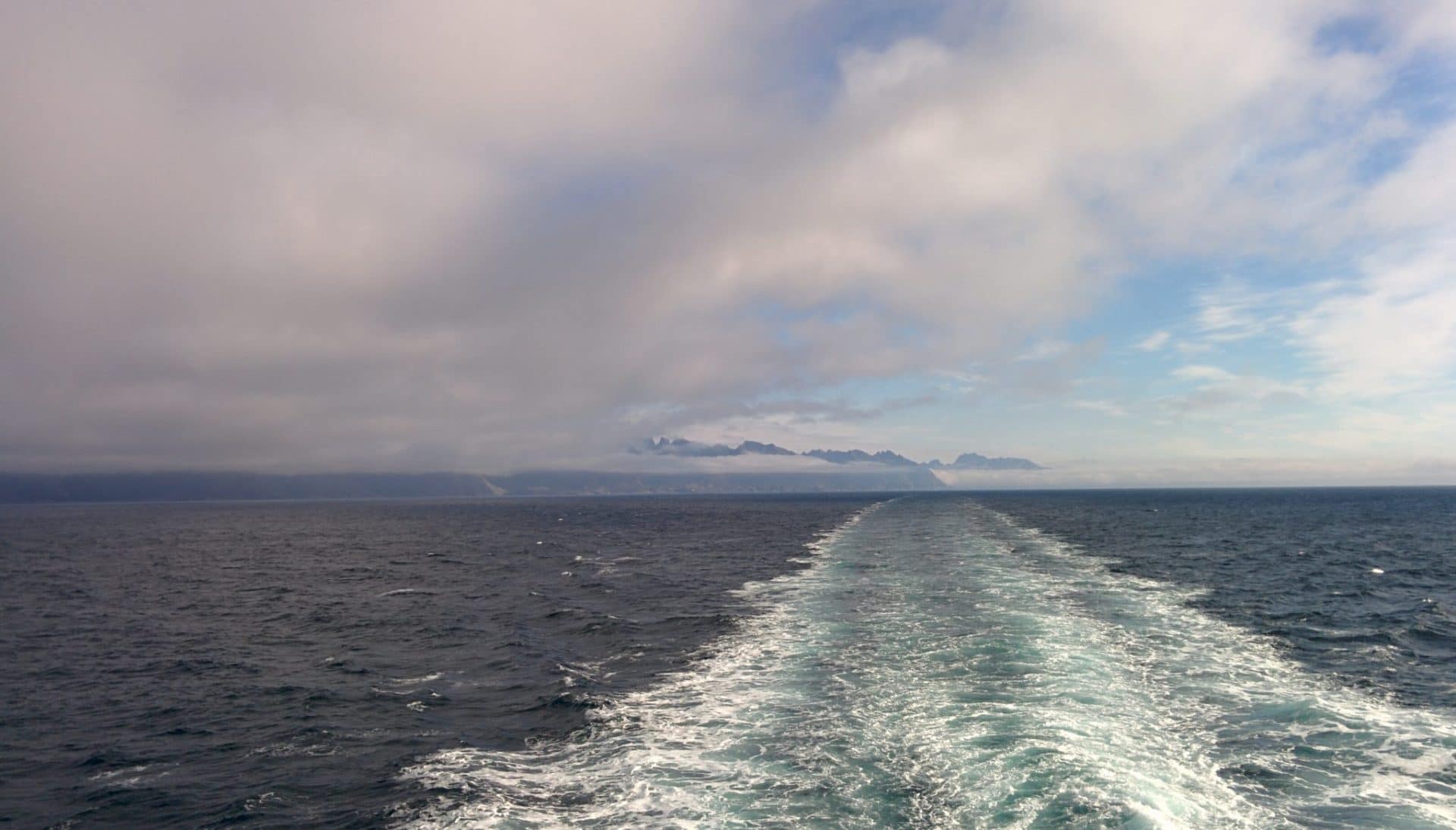
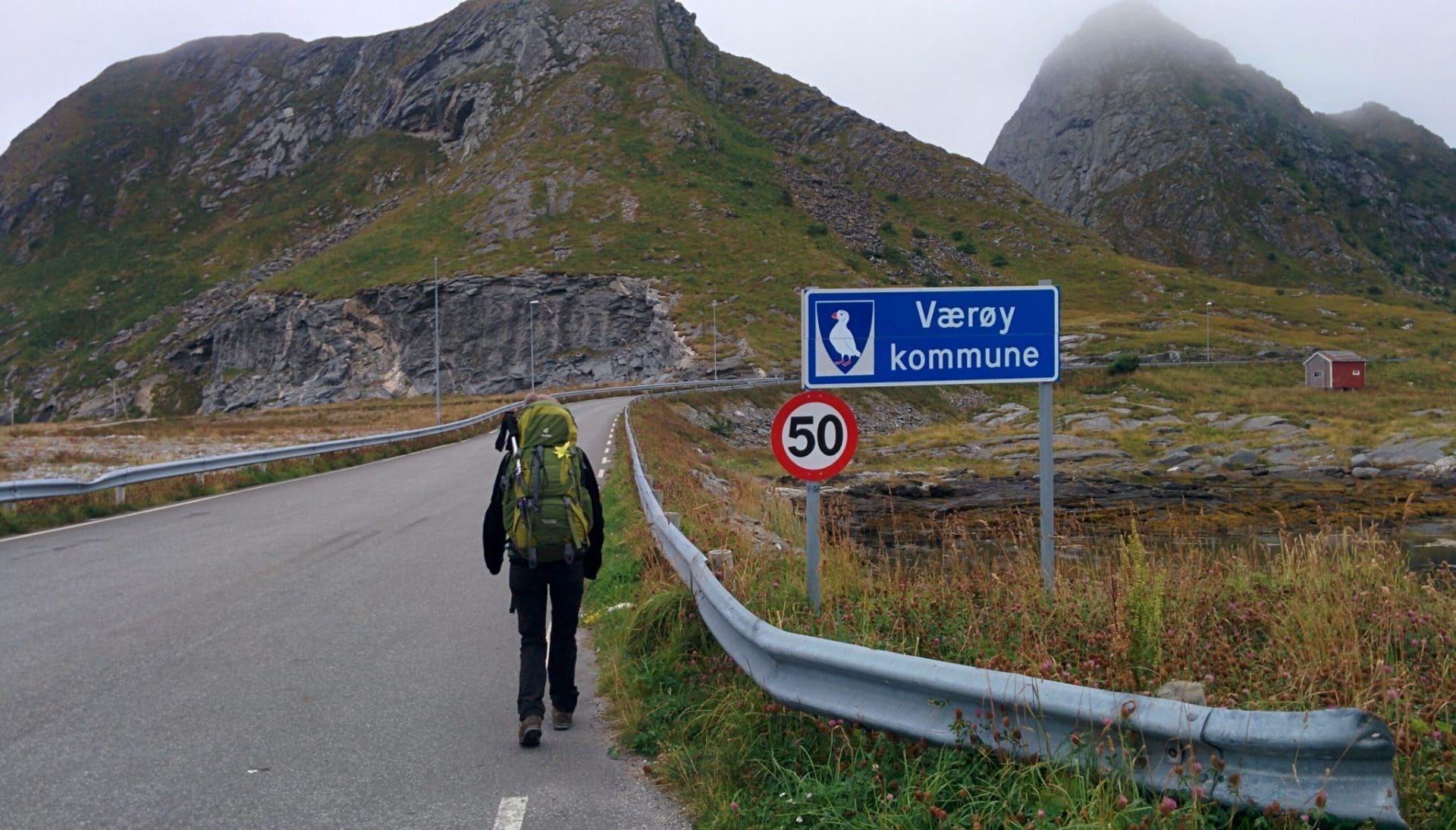
The road to Sørland is relatively sad and the village also … There is no one in the streets and the greyness does not help … We pause at the local shop to buy some groceries for this evening. I try to chat with locals so they give us nice places to stay but they do not speak very good English and also do not seem very motivated to help us …
We decide to reach the beach at the end of the road on the north coast not far from the disused aerodrome which hosts the “Midnight Sun Festival” during polar day.
The road passes through a small pass and then follows a coastline of little interest. The path is relatively long to the beach. We will get there after a local stopped to drive us there.
The beach is nice: in its back are large vertical cliffs on which the clouds form. The beach opens to the ocean with a nice view of the Lofoten. It’s still gray but it should change. On the beach and in the surrounding area there are traces of the festival in the form of pebble or wood sculptures, large wooden huts on the beach or a fake pirate ship stranded. The whole is nice and looks like a old pirate place.
We spend the evening strolling along the beach or on the road that runs along the coast to the west. The sun will return in the late afternoon so we warm up a bit and allow to dry the moisture of the day.
From our eleven days this day is the least sympathetic at the moment. We shall see tomorrow what Vaeroy has left us.
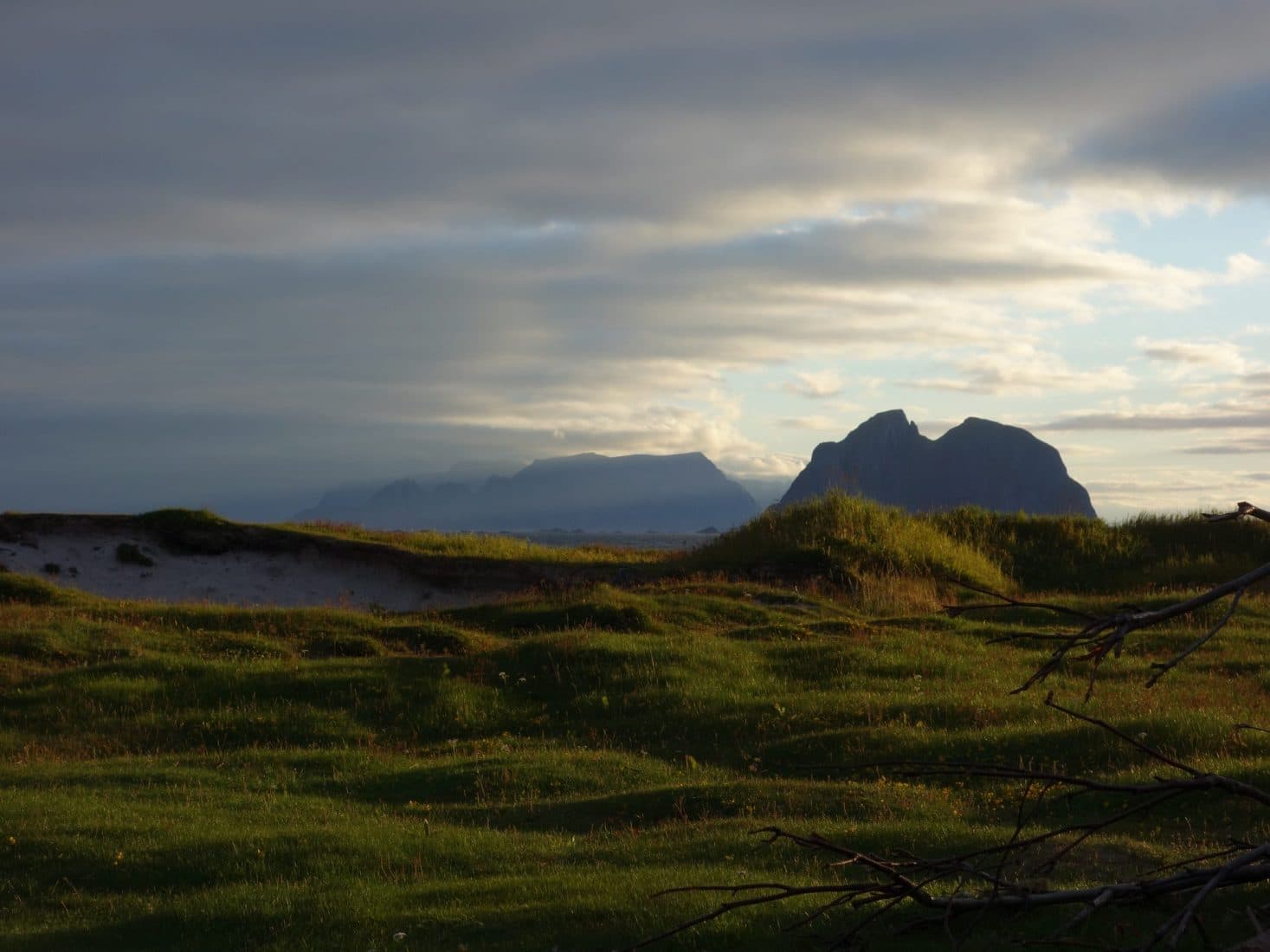
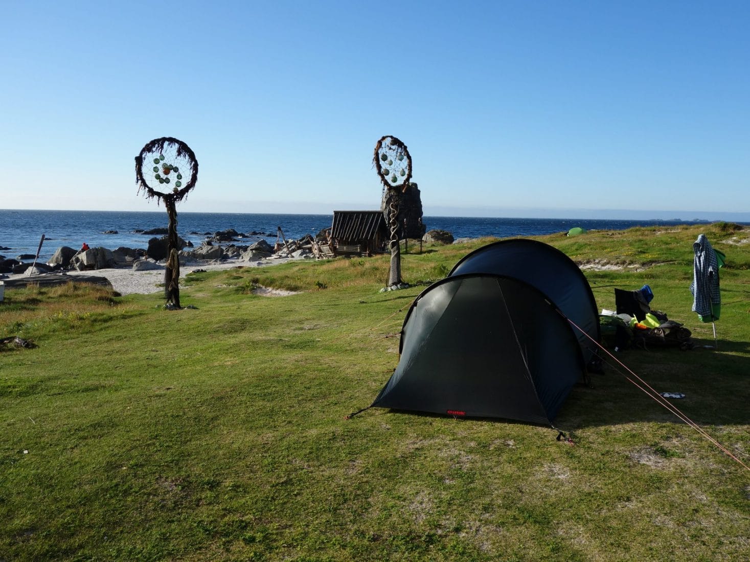
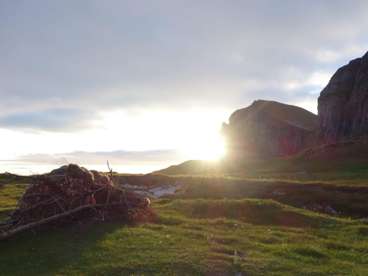
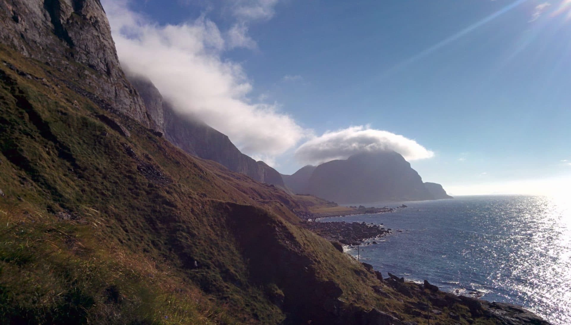
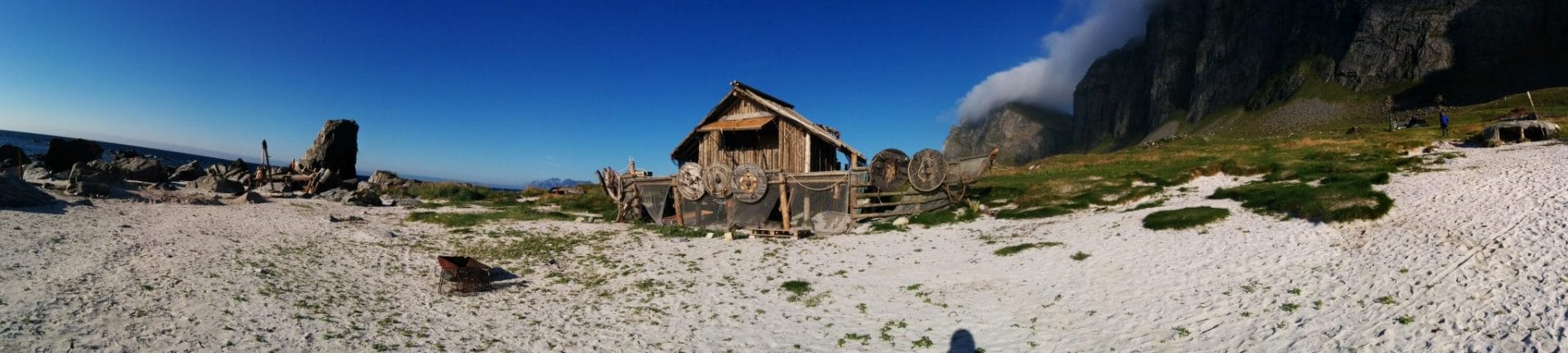
The next day we do not really have a plan. We wish to reach Sørland by cutting through a pass above the beach and going to see the famous sight of the horseshoe.
We pack all our equipment (for the last time) and attack the climb by the well visible path that leads to the pass. This one is steep but not complicated and offers a nice view as the area. From the top you can also see the small town of Sørland and the particular physiognomy of Vaeroy with its large plain surrounded by high cliffs.
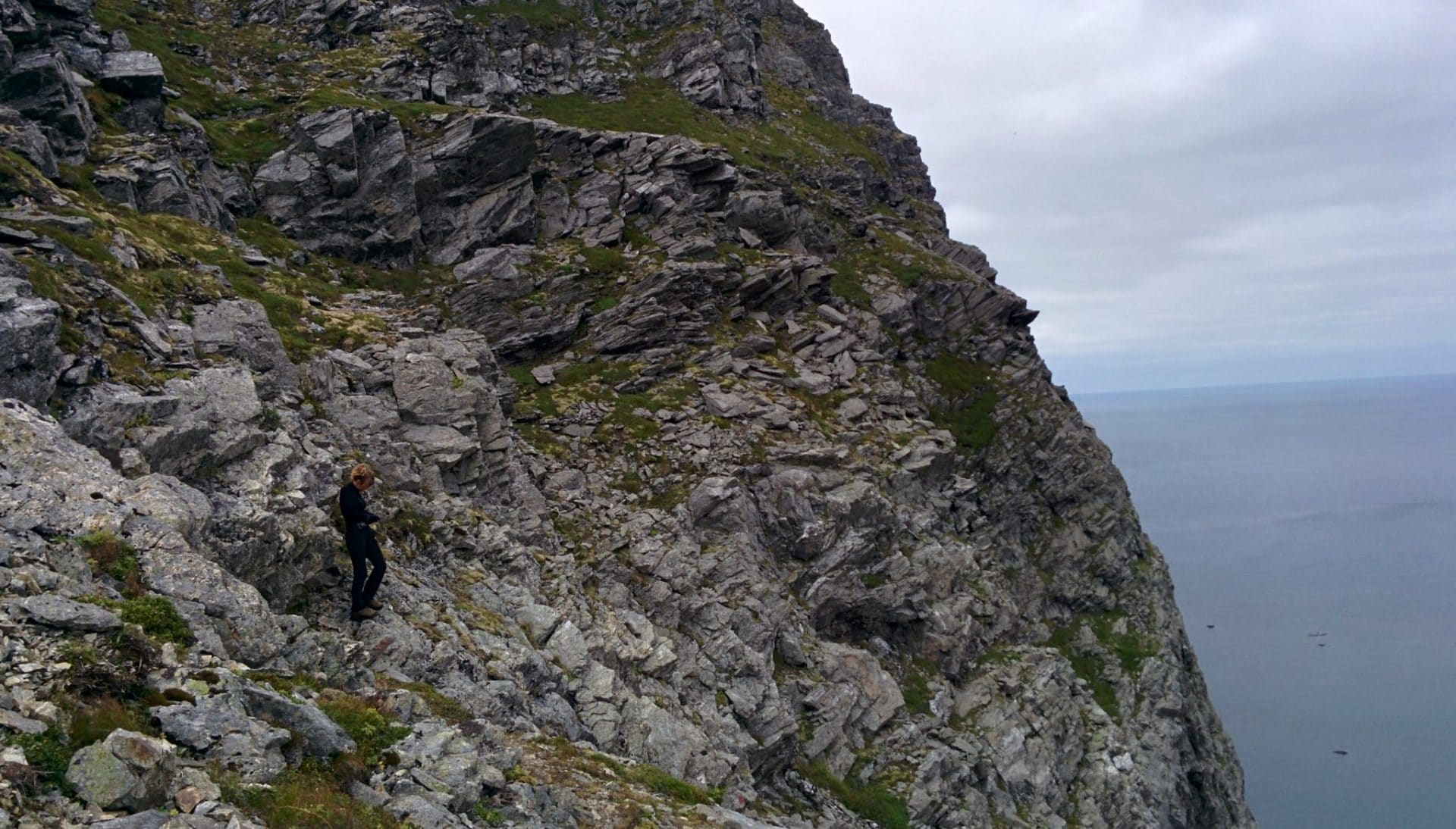
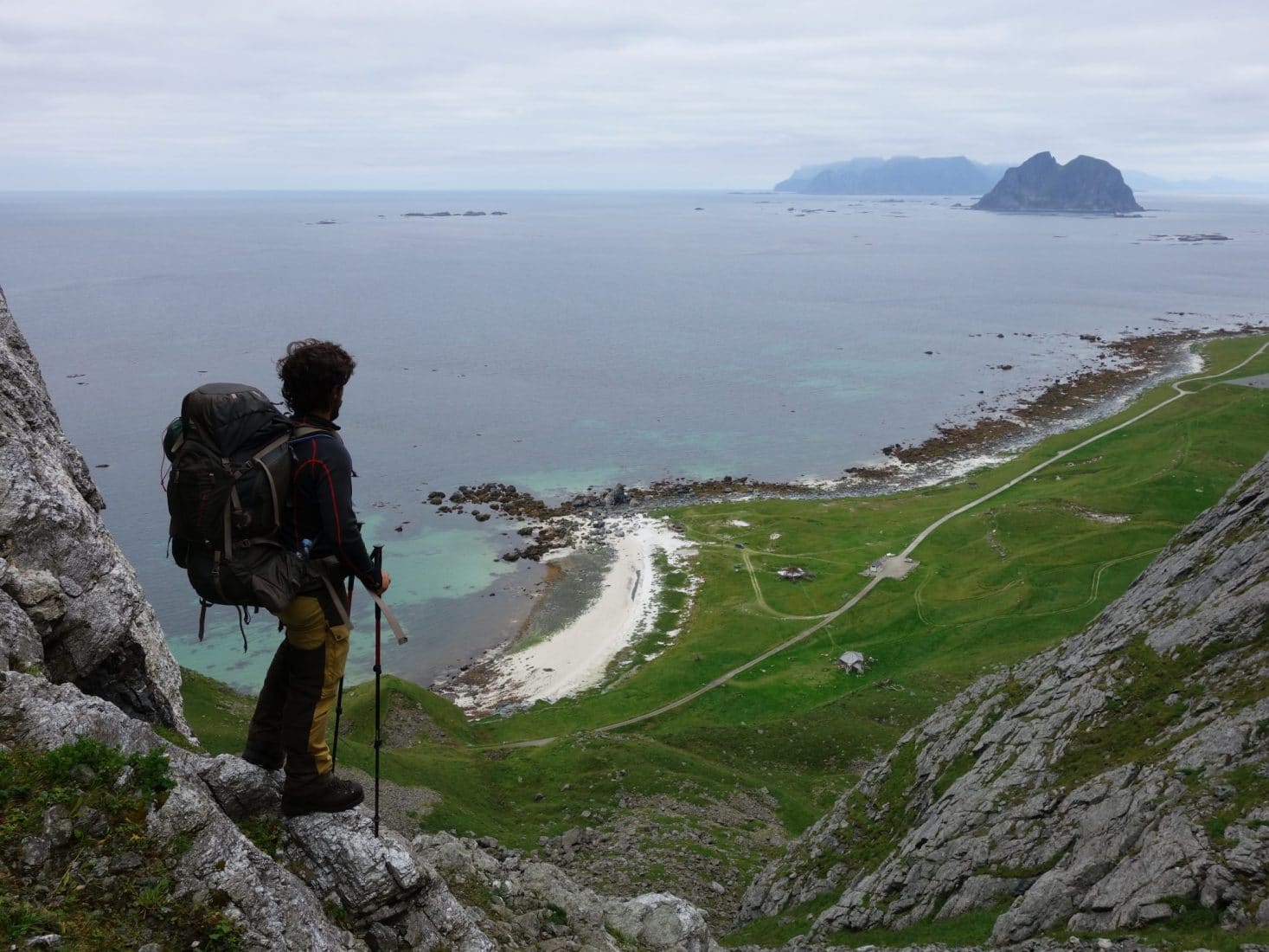
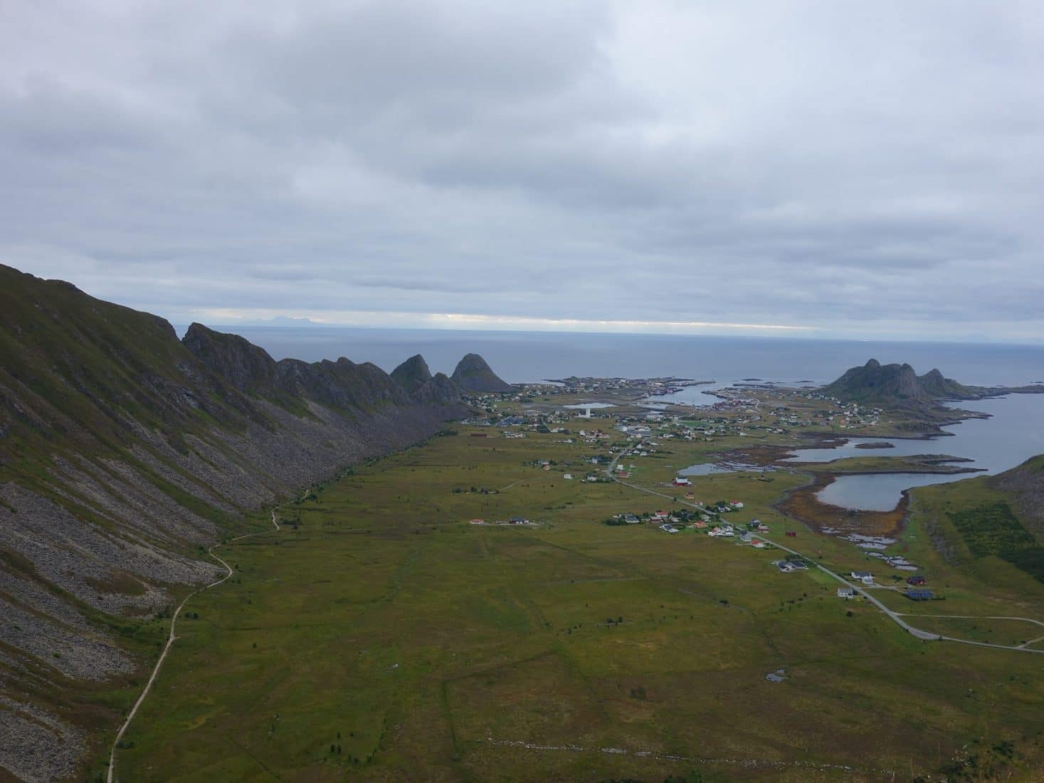
We then wanted to reach the point of view that we see everywhere and that allows to admire the horseshoe cliffs. Unfortunately we will be wrong thinking that the view was accessible from the radio station. In fact no, you have to fork to the left but we have not really seen any panels or even clear path. So big disappointment … this and the weather and the general atmosphere of the island is a bit depressing… So we decide to join the city and find a hotel. One of the few hotels on the island is in the harbor area and has no charm. We will have to wait for an hour that the receptionist arrives but “fortunately” we will be accompanied by two guys completely drunk and relatively freaking that we will not get rid of until we have the room!
A bad day !! Vaeroy is a huge disappointment… An impression of misery, lassitude is felt everywhere. Many people live here fishing and are unemployed … In any case we are truly disappointed by these two days … Of course this is just our experience and it could have be better with more sun and luck …
We will take the ferry at the first hour the next day.
Days 13 & 14 : Bodø and back home
The ferry between Vaeroy and Bodø takes about 5 hours and passes through Røst. Enjoying the view of the sea. Back in Bodø we join the Airbnb that we had booked with a Norwegian who lives here for 3 years. We will pick up our bags leaft at the check-in at the airport. The end of the day will mostly be marked by a big pizza at Bjørk in the city center.
For the return we will take two planes with a stopover in Oslo. It’s faster than the train … Bye bye Lofoten and Norway after these two busy weeks.
Conclusions
This trip have been for us one of the most beautiful we have ever done. Definitely in the TOP 3 of the most beautiful destinations. We had made Fjords ofNorway the previous year but the Lofoten Islands have nothing to do with the south of the country. These mountains with their feet in the water are truly unique, magnificent. We stayed there for fourteen days but felt as if we had not made half or a third of the possibilities offered by this extraordinary playground. On the plus side, there are not too many people and a lot of tourists stay along the main road so as soon as you walk away you are alone.
We had during this holiday an insolent chance with the weather: only three days of bad weather! It is extremely rare in these islands. In addition we have even had quite comfortable temperatures near the 20 ° C.
Aside from the landscapes and the weather we have also meet a lot of very nice people, in the spirit of “backpacker” which is nice to exchange, share.
I advise to 200% to visit of the Lofoten Islands and especially to take the time to explore them. One thing is for sure we’ll be back, I do not know when, but we’ll be back!